
Splonk went the crater!
Click for full image.
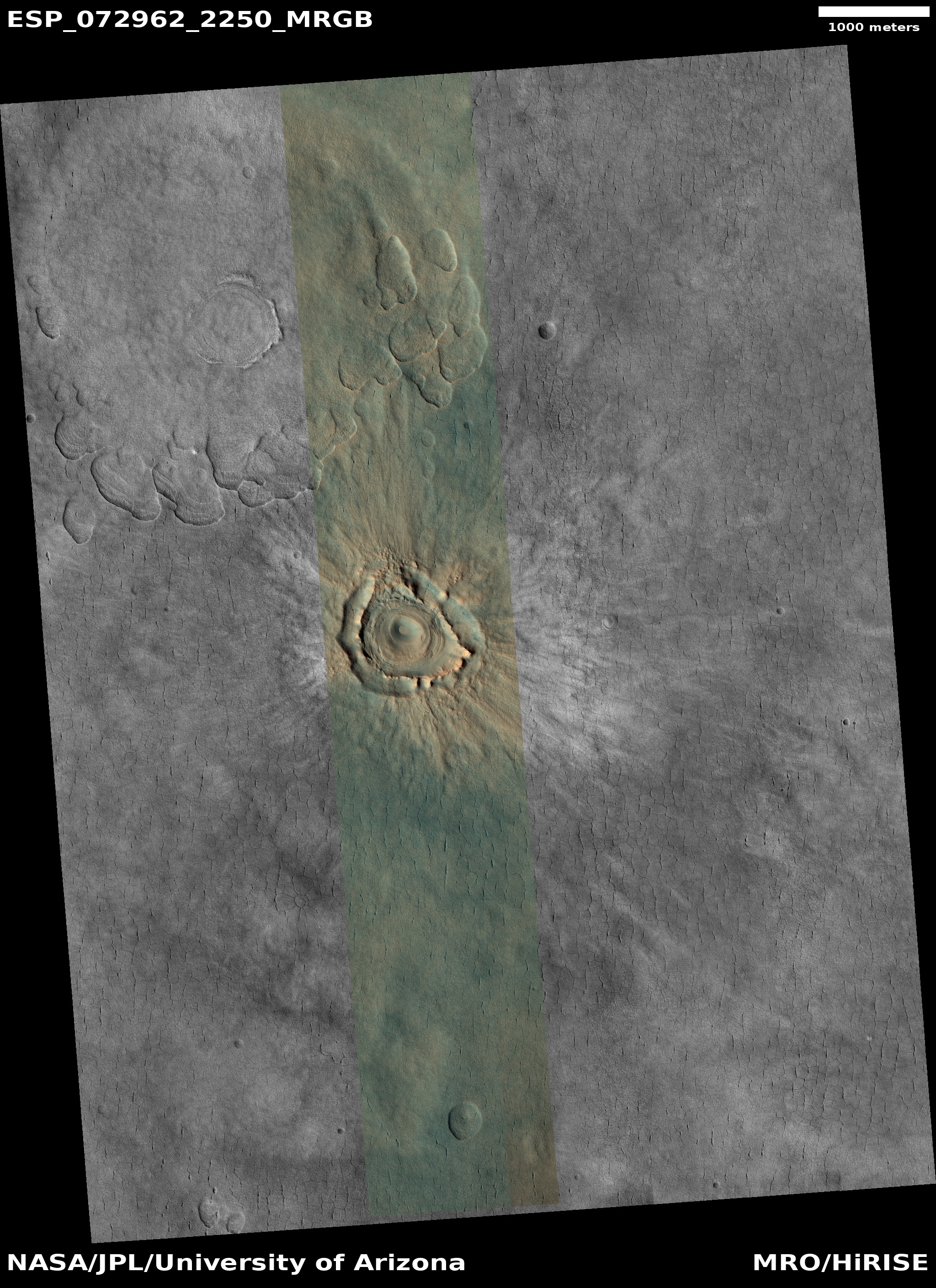
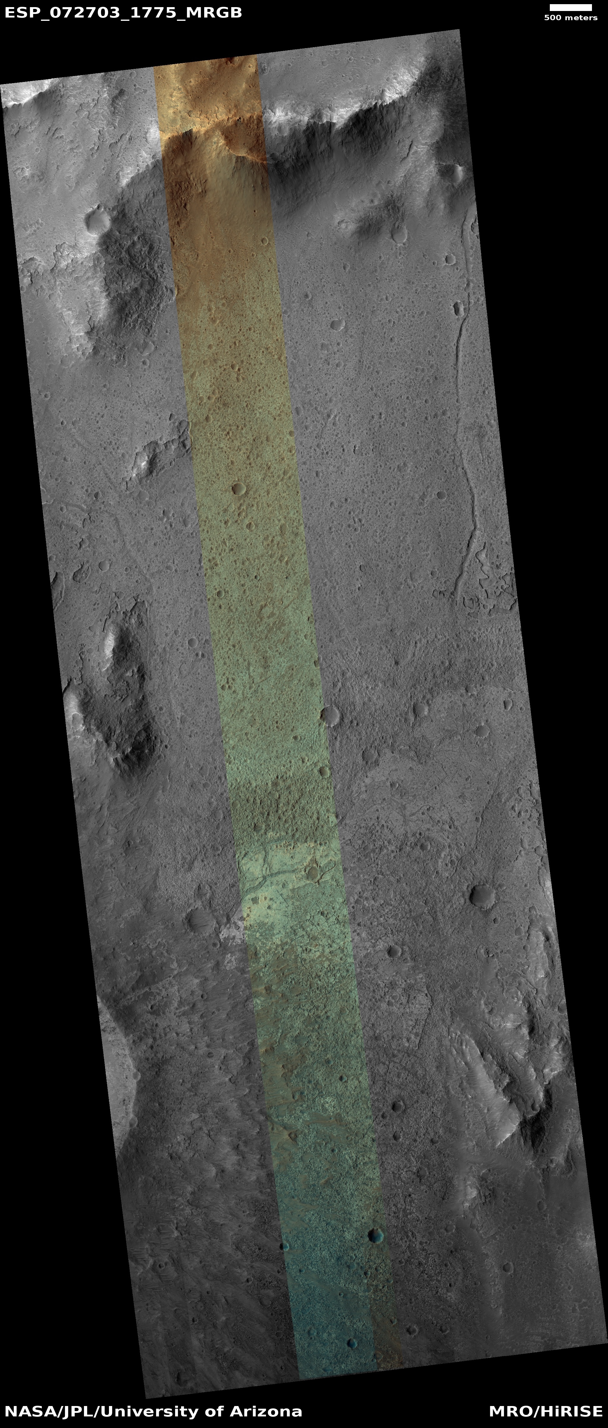
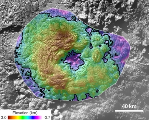
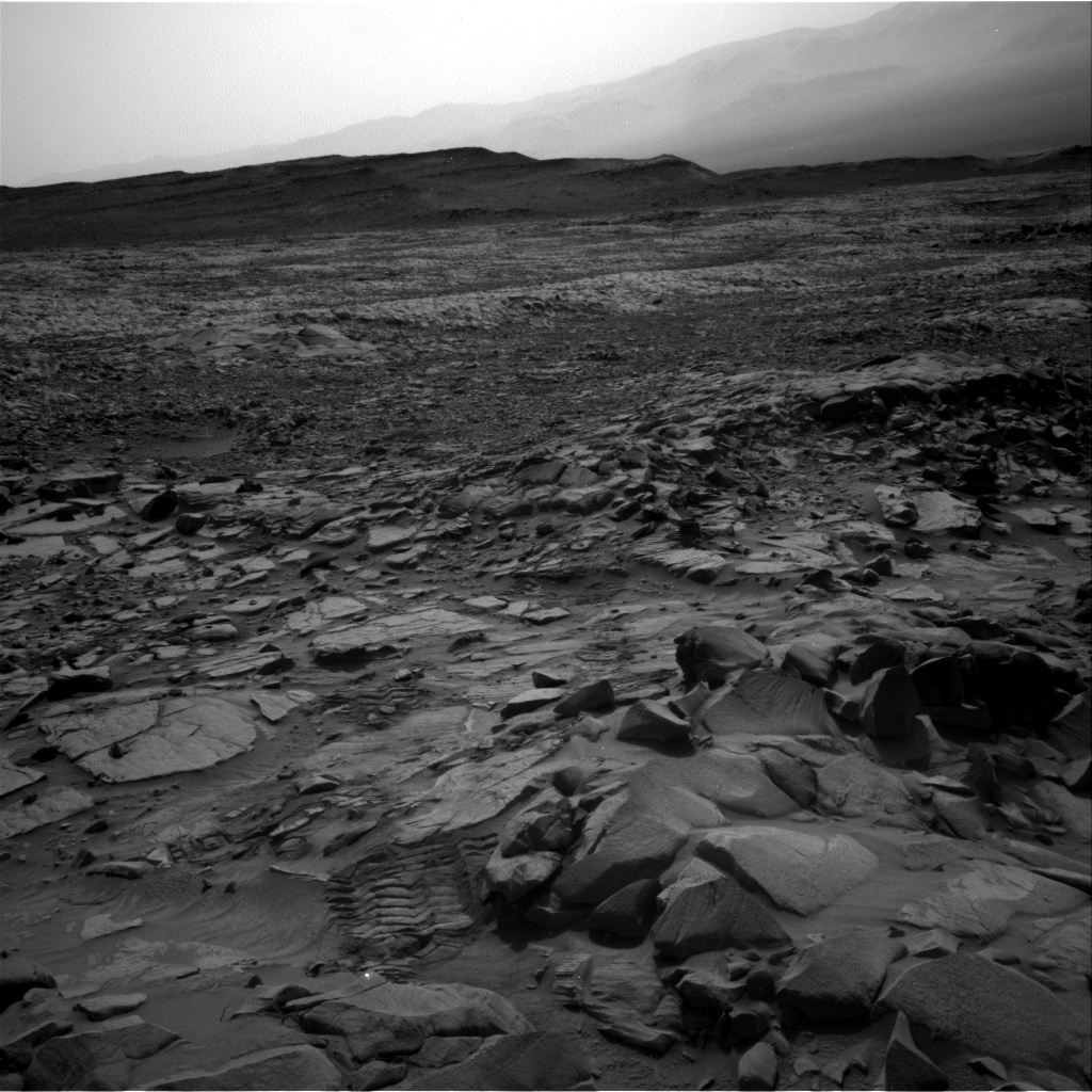
Cool image time! The photo to the right, cropped and reduced to post here, was taken on February 18, 2022 by the high resolution camera on Mars Reconnaissance Orbiter (MRO). It shows what the scientists label as a “degraded crater in Utopia Planitia.”
There is a lot of intriguing geology in this one image. First of course is the crater itself. We have to ask, is it from an impact or from some volcanic process? The location, at 44 degrees north latitude, argues that some form of ice or mud process was involved. Maybe we are looking at a frozen eruption from an underground ice layer. If this was instead caused by an impact, the crater’s ringlike structure could have been created by the ripples of melted ice and mud emanating away but then quickly refreezing.
Surrounding the crater are many small fissures, the largest ones all oriented in a north-south direction. If there is an ice layer near the surface, these cracks might be caused by that ice sublimating away. Why the largest cracks orient in the same direction however is a mystery.
The color variations suggest [pdf] dust (red-orange) as well as a variety of minerals (green). Since no blue appears visible in this version of the photo, if this crater was shaped by melting or erupting ice, that ice is well covered by that layer of dust and debris.
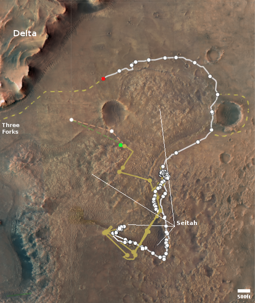
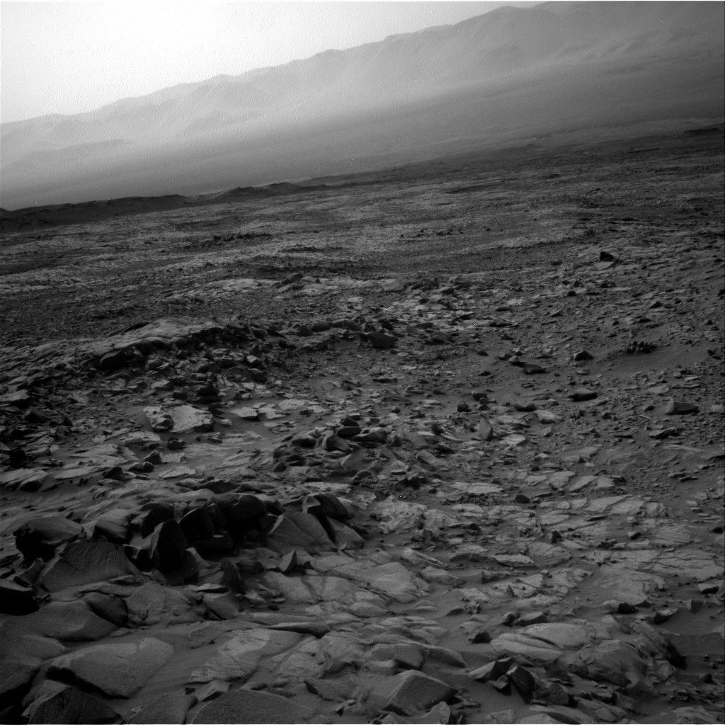
The location map below as always provides context.
» Read more


