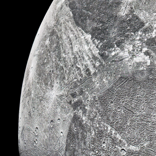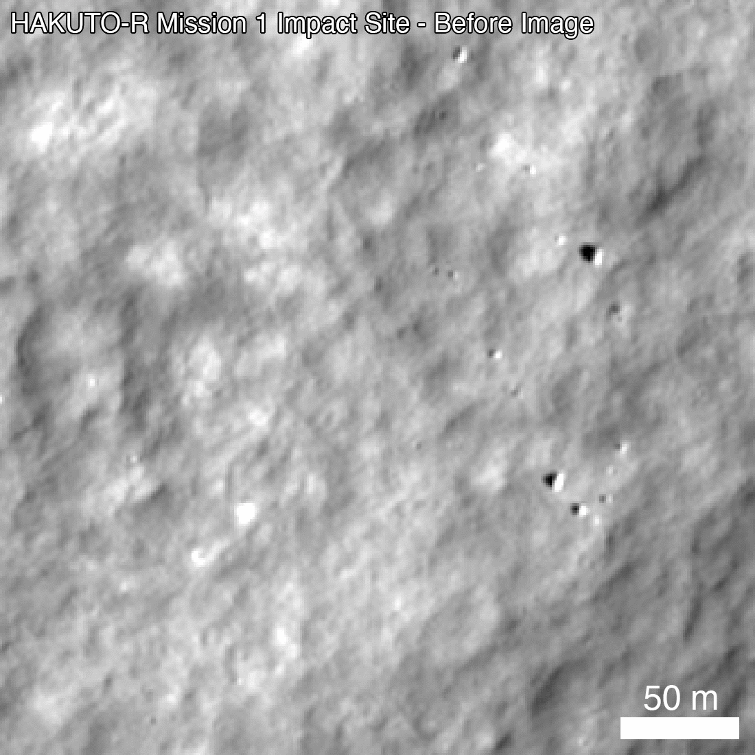
Click for original image.
The uncertainty of science: Though astronomers have long believed that the Milky Way galaxy is a barred spiral galaxy, defined as having a major straight arm coming out in two directions from its nucleus with other spiral arms surrounding it, determining the exact structure has been difficult because of our presence within the galaxy.
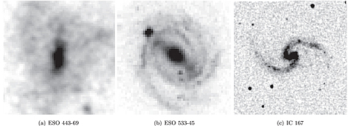
The image to the right, taken from a paper just published, shows three different types of barred spirals. On the left is one where the surrounding spiral arms hardly exist. In the center the central bar is surrounded by multiple arms. On the right is a barred spiral with just one major spiral arm.
Though it has been generally accepted that the Milky Way belongs in the center category, astronomers remain unsure about the actual spiral structure. Previous work had suggested the galaxy actually had four major arms, not two as seen by most barred spirals. As noted in the paper, “If that is the case, the [Milky Way] may be an atypical galaxy in the universe.”
The research from the new paper however now proposes that the Milky Way is actually not atypical, but instead more resembles the center image, with two main arms and multiple segmented arms beyond. From the abstract:
Using the precise locations of very young objects, for the first time, we propose that our galaxy has a multiple-arm morphology that consists of two-arm symmetry (the Perseus and Norma Arms) in the inner parts and that extends to the outer parts, where there are several long, irregular arms (the Centaurus, Sagittarius, Carina, Outer, and Local Arms).
The astronomers cheerfully admit that this conclusion is uncertain, and will need many further observations for confirmation.