Puzzling crater on alien Mars

Click for original image.
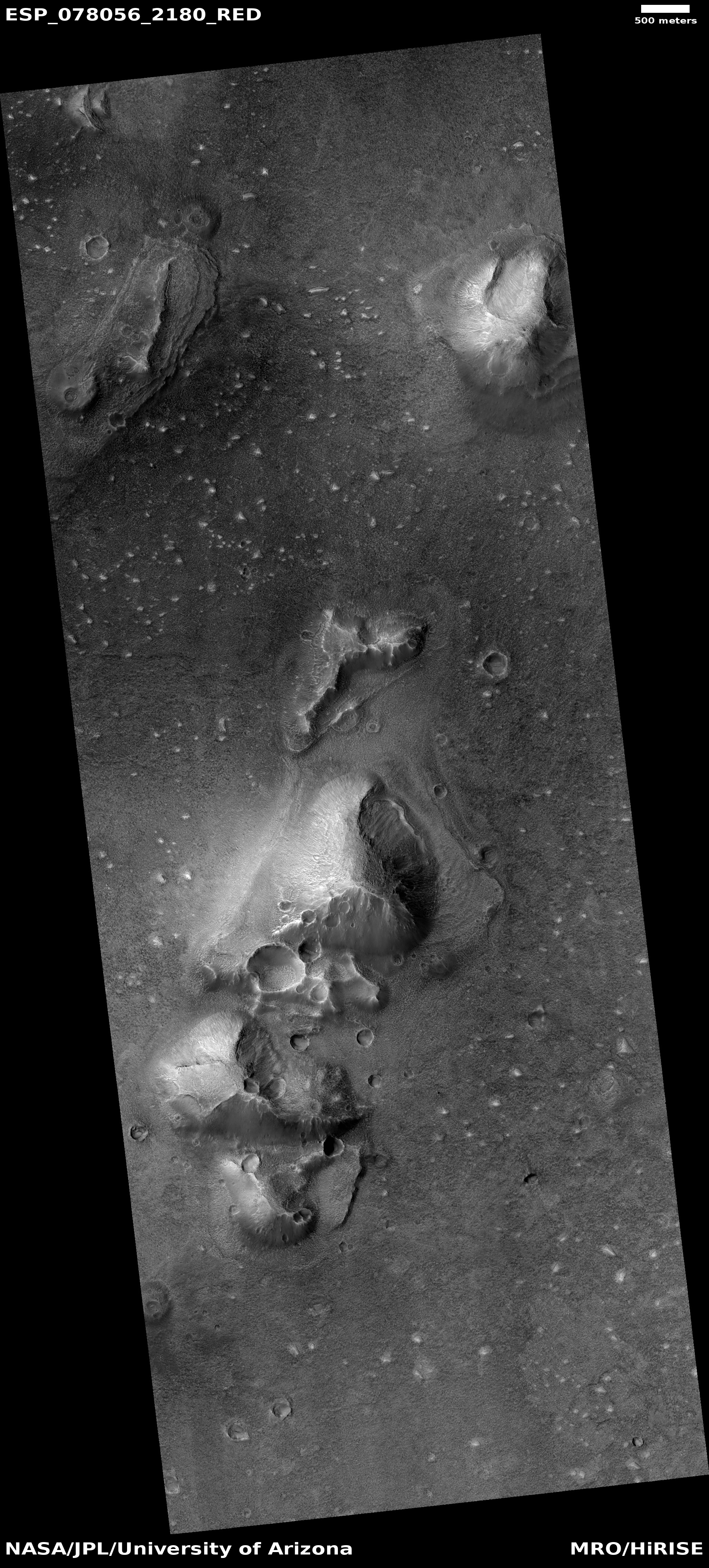
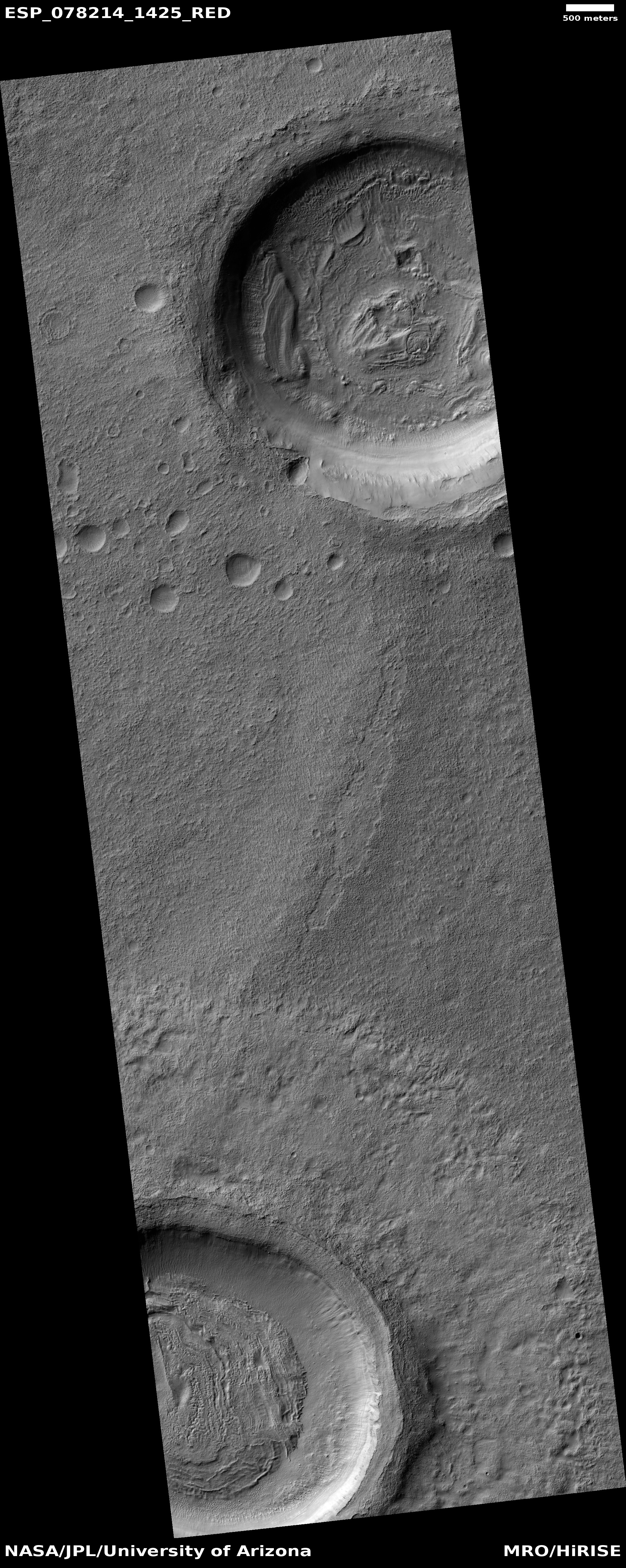
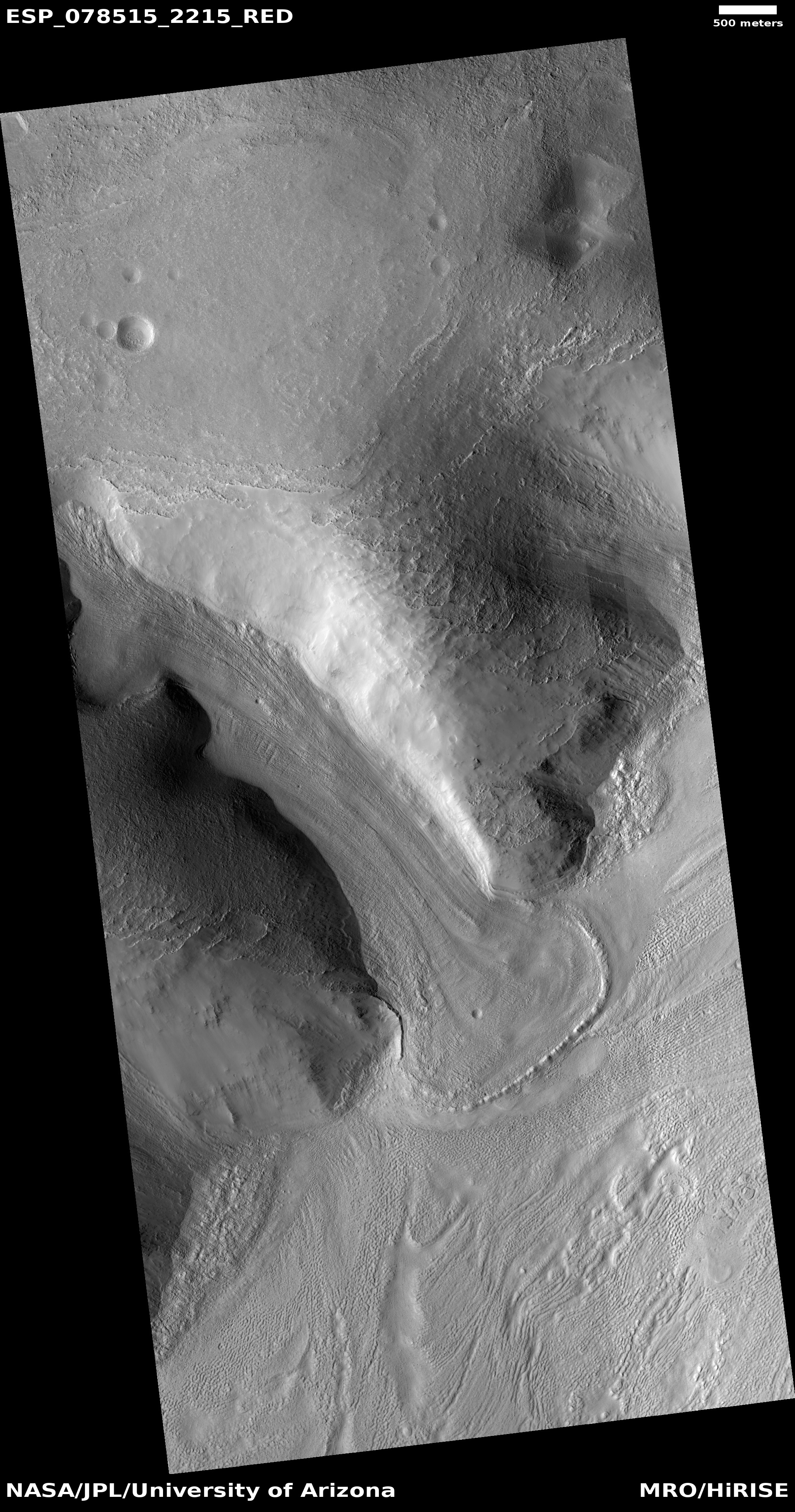
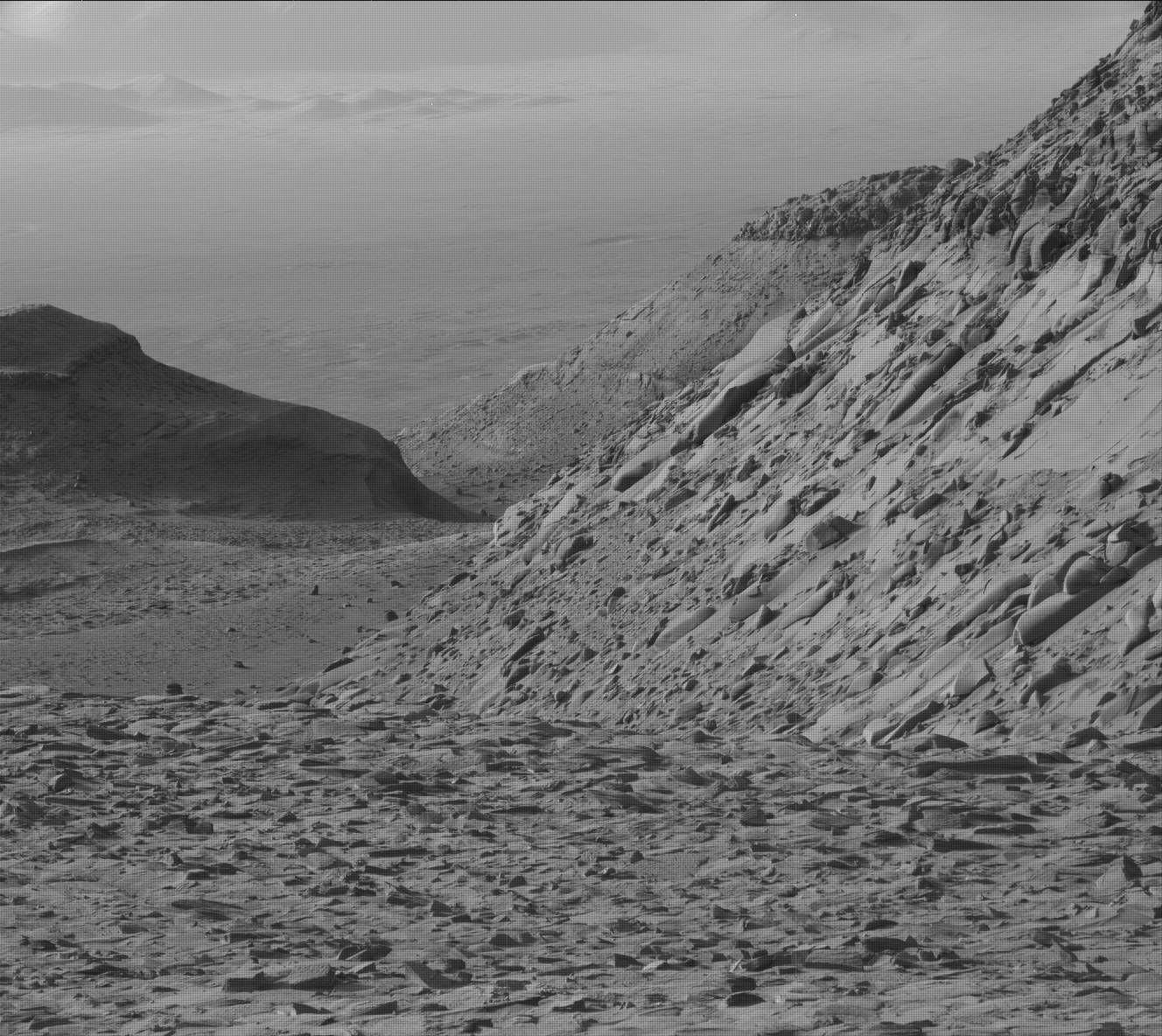
Today’s cool image once again illustrates that the things that orbiters photograph on the Martian surface are not always what they seem at first glance. The picture to the right, cropped, reduced, and sharpened to post here, was taken on March 23, 2023 by the high resolution camera on Mars Reconnaissance Orbiter (MRO). It shows what the scientists label as “layering” in this small mile-wide crater.
That layering, seen on both the interior and exterior slopes of its circular rim, is what makes this crater puzzling. It suggests this crater was not formed by an impact, but by volcanism. The layers suggest repeated eruptive events. That the crater sits above the surround plain by about 100 feet strengthens this conclusion.
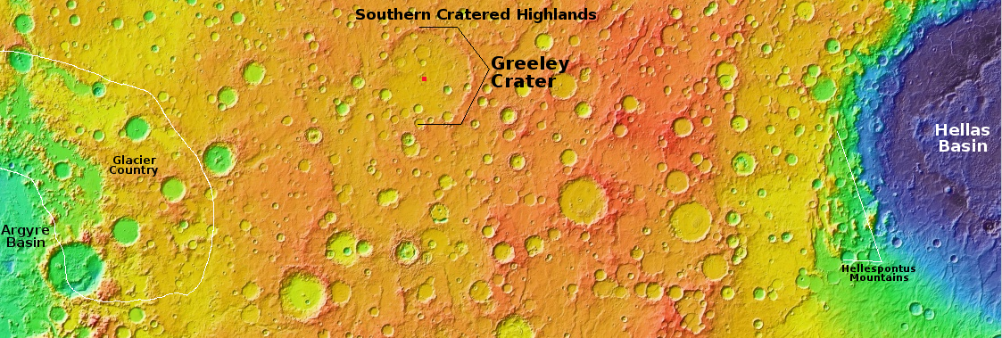
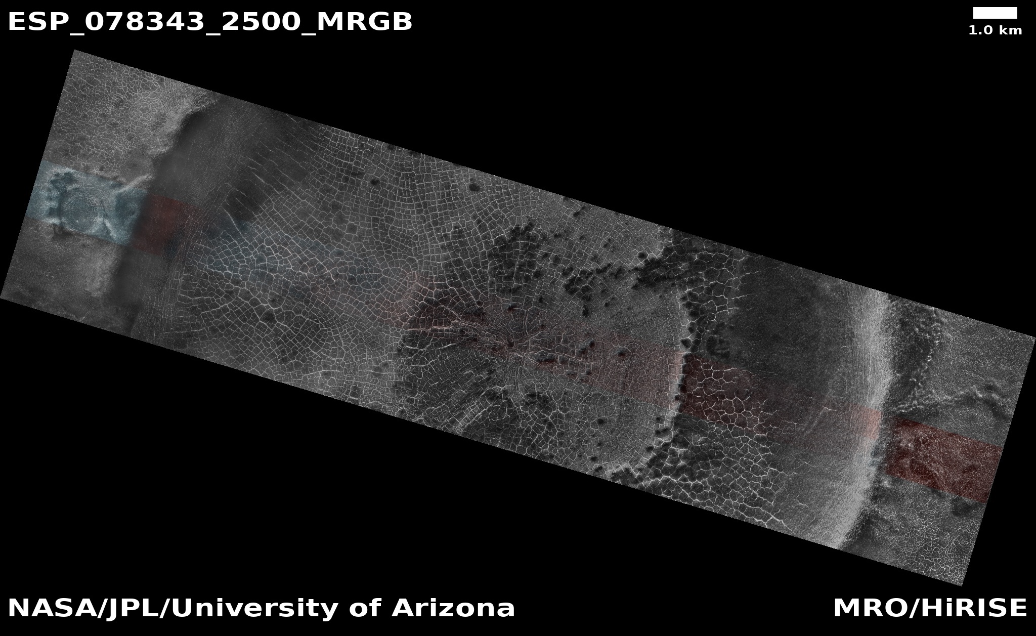
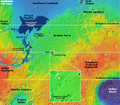
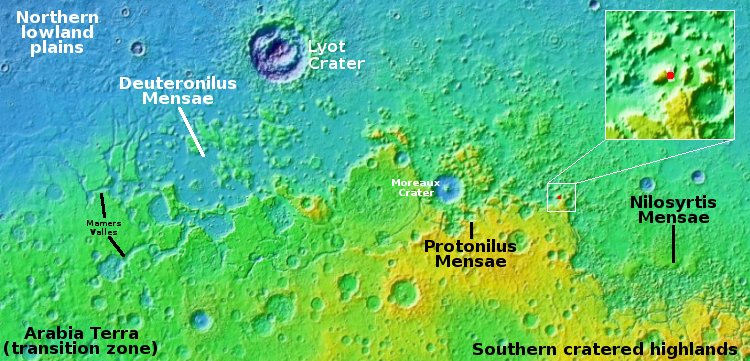
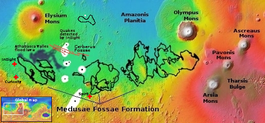
And yet, a look at the overview map below suggests this conclusion is premature.
» Read more