
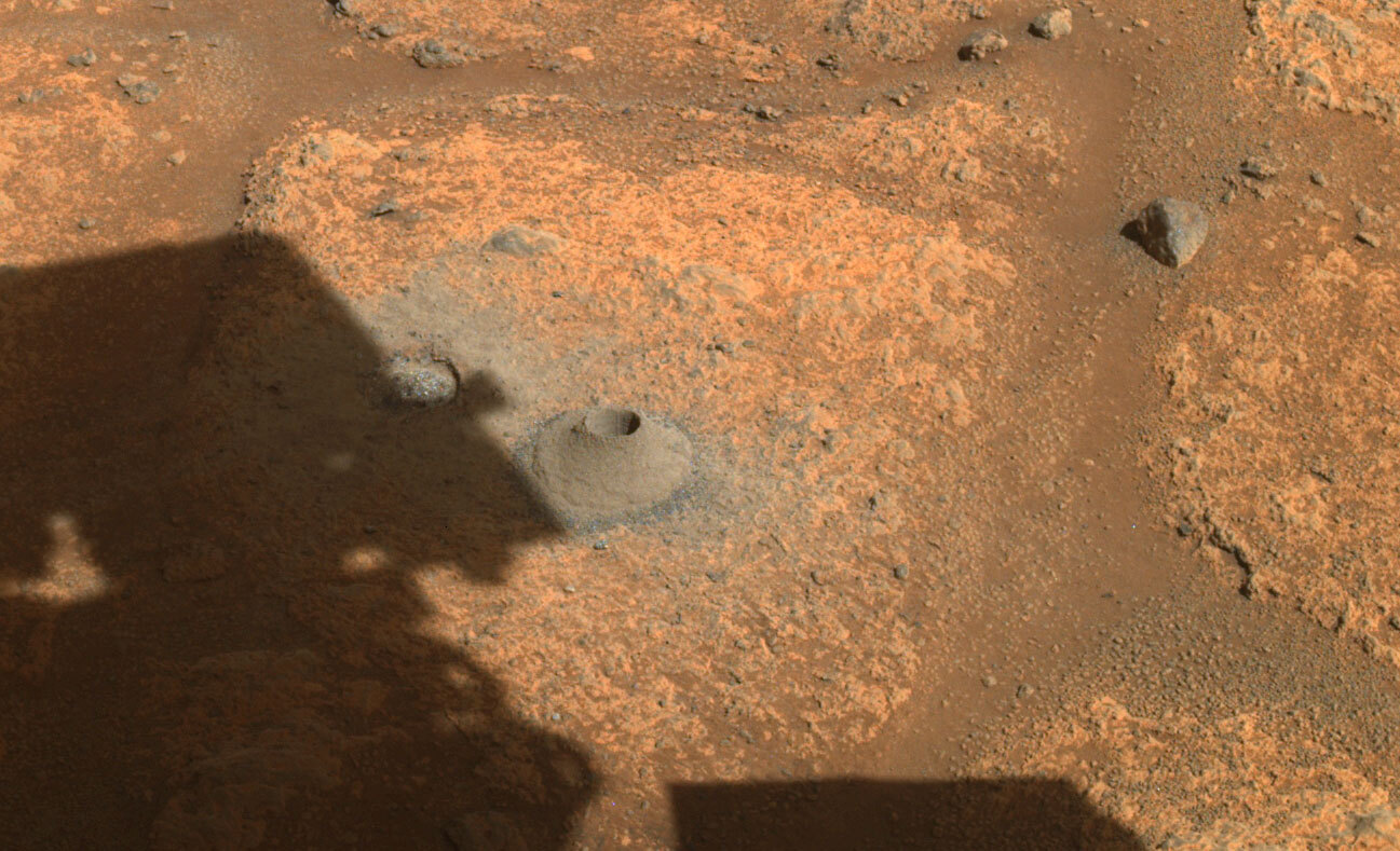
Confirmed: Perseverance sample was too crumbly and poured away
Perseverance scientists have confirmed that the reason their sample container was empty once stored on the rover was because the material that they had drilled into was more crumbly than expected, and when the core was extracted from the ground the powder simply poured out of the core tube.
The team has decided to move on.
Rather than try again with the cratered floor fractured rough, Perseverance has already departed the area and is heading towards a region named South Séítah, which likely contains layered sedimentary rocks that are more similar to the Earth rocks that engineers drilled during tests before the mission’s launch. “We are going to step back and do something we are more confident of,” says Trosper. The rover will try to drill a core there, perhaps in early September. When it does, engineers will pause the automated drilling process to check whether a core has been extracted before the rover takes the next steps of sealing the tube and storing it away.
While it makes sense to find a different place to drill for a core sample, it appears that Perseverance is designed in a manner that it can do no analysis of any drill hole material:
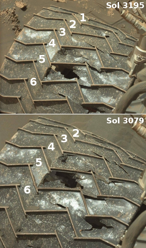
Curiosity and Perseverance are similar in many respects — Perseverance was actually built using much of the leftover hardware from Curiosity — but there is one major difference in how they drill into the Martian surface. Curiosity intentionally grinds rock into powder, which it then places inside analytical instruments it has onboard to conduct scientific studies. NASA designed Perseverance to extract intact cores that slide into its sampling tubes. So crumbly rocks are good for Curiosity, but not for Perseverance.
If Perseverance can do no analysis of any drillholes, this limits the science it can do significantly. While putting aside samples for later return to Earth is an excellent idea, to make this the priority so that Perseverance can analyze nothing seems a terrible decision. What if that sample return mission never gets built?
If my supposition here is correct it also means NASA’s repeated claim that Perseverance is searching for ancient life on Mars is even more of a lie than I had assumed. It isn’t merely that this claim is a distortion of Perseverance’s actual research goals — to study the geology of Mars — the rover can’t look for ancient life. It has no way of looking at any samples it digs up.
I am not sure if my conclusions here are entirely correct. For example, maybe they hope to find this alien evidence by looking at the sealed core samples they store. Unfortunately, I have no idea, because I am somewhat handicapped in describing Perseverance’s day-by-day operations because, unlike Curiosity, the Perseverance team is providing no regular updates of their operations at their blog. While the Curiosity team posts something at least twice a week, the Perseverance team has posted nothing since just after landing in February. I’ve emailed NASA about this, but have gotten no response.


