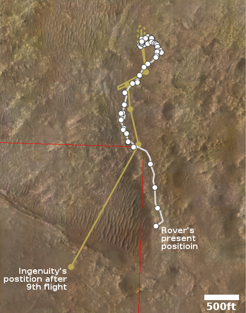
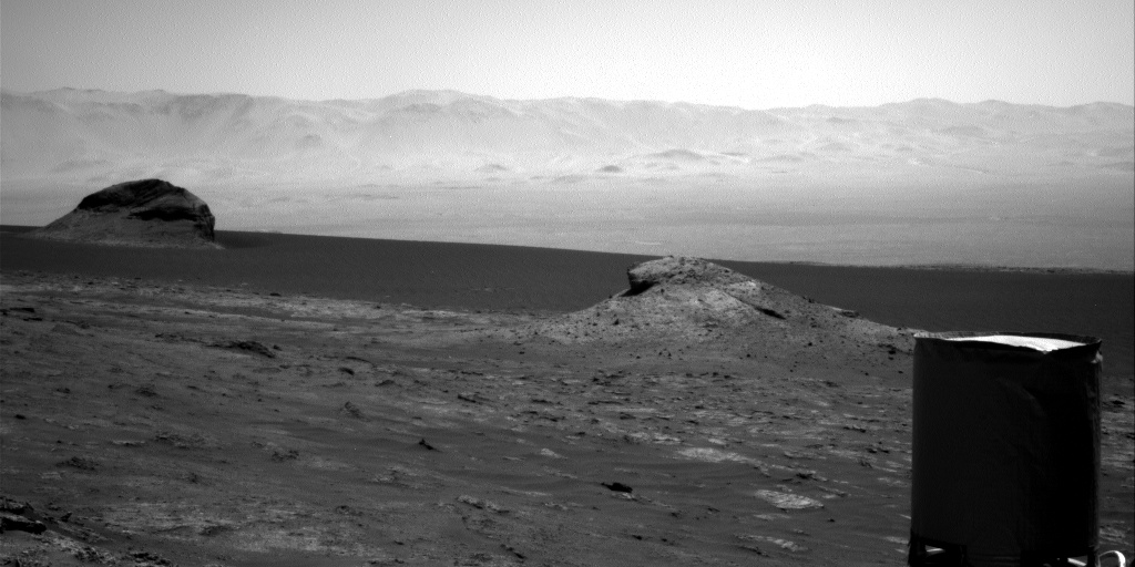
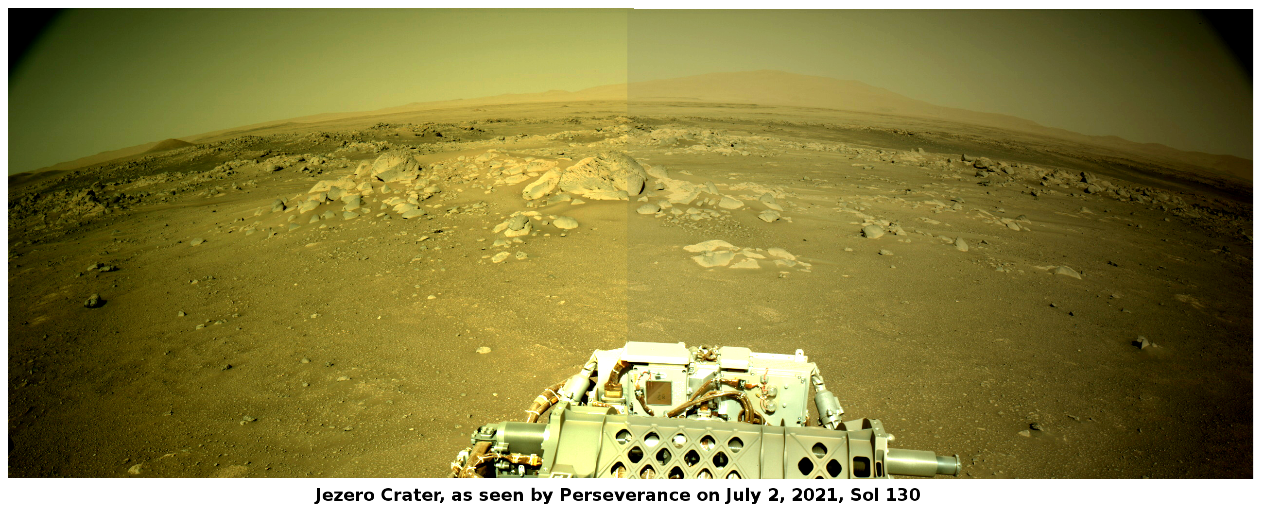
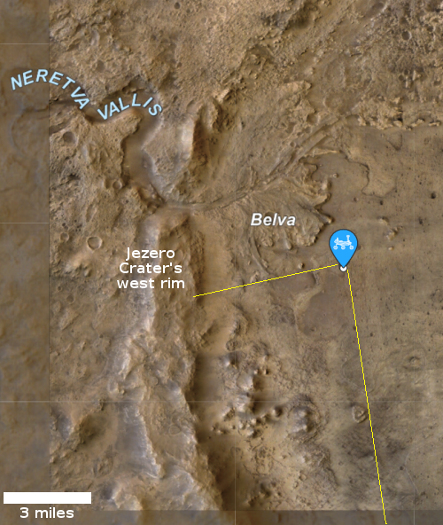
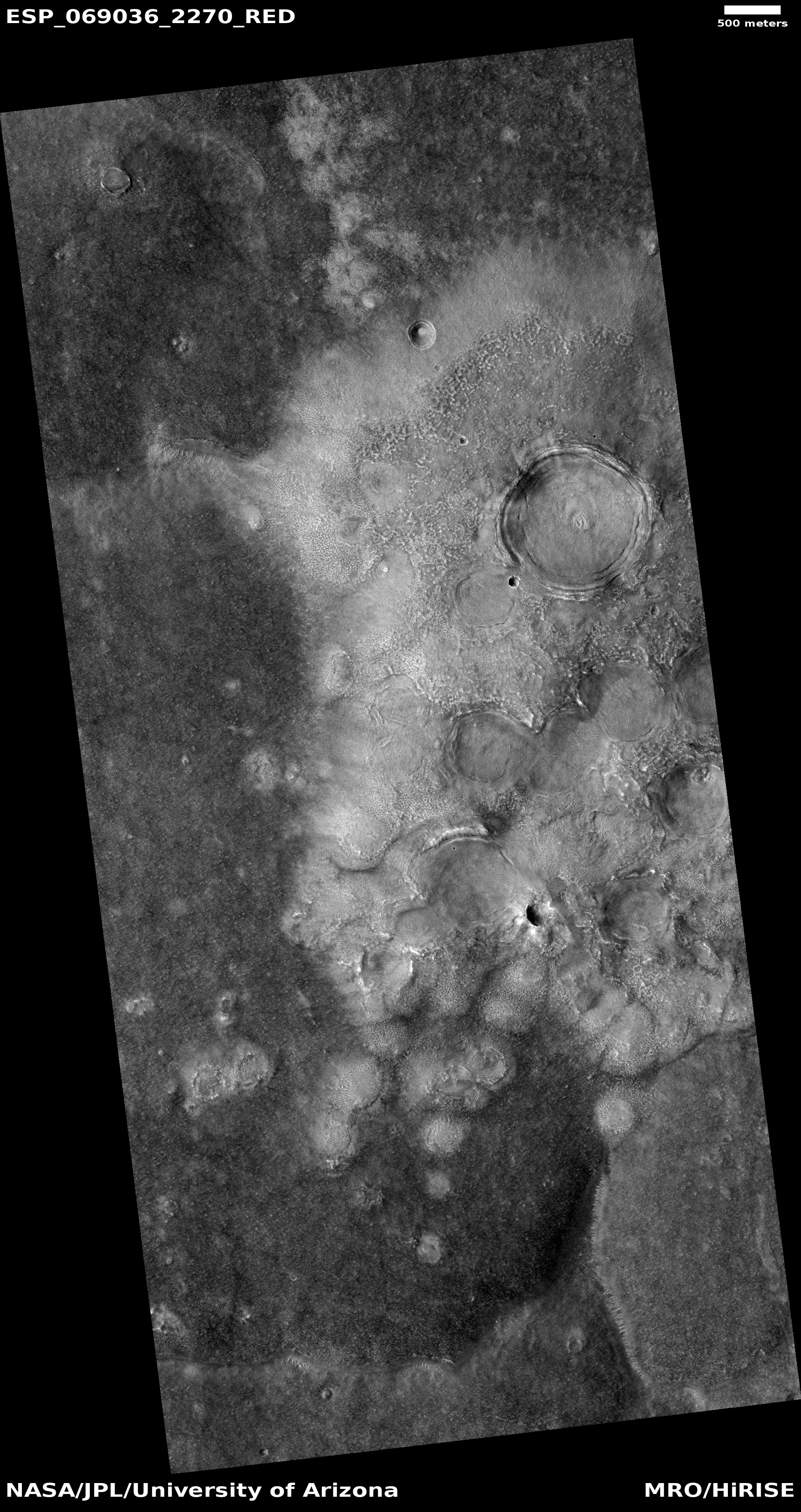
The Perservance science team is preparing the rover for its first drill hole and the first collection of a sample to cache so that a future spacecraft can return it to Earth.
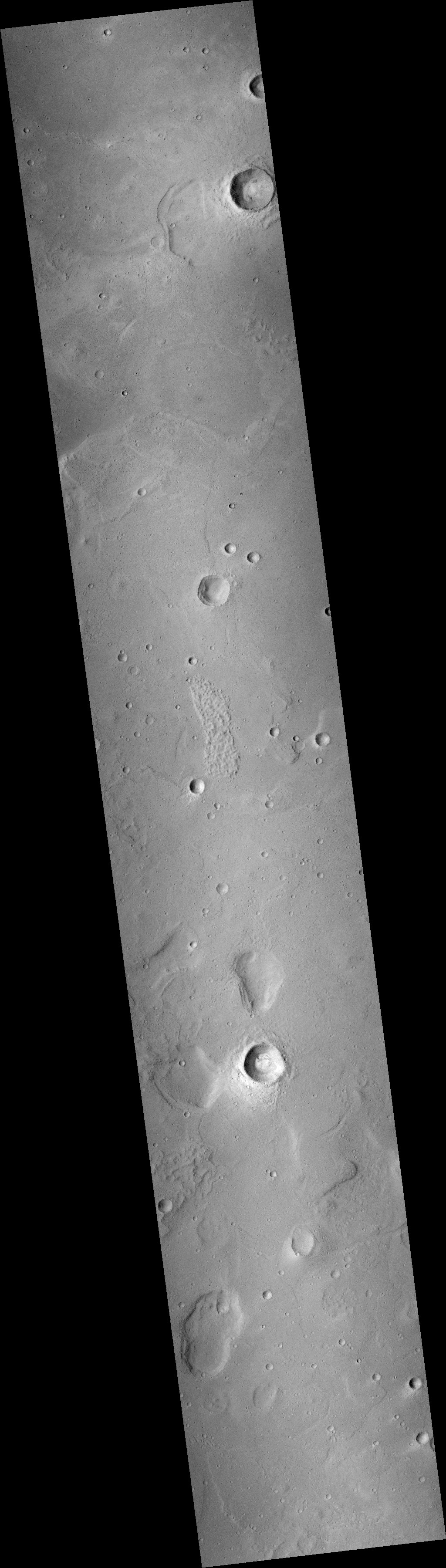
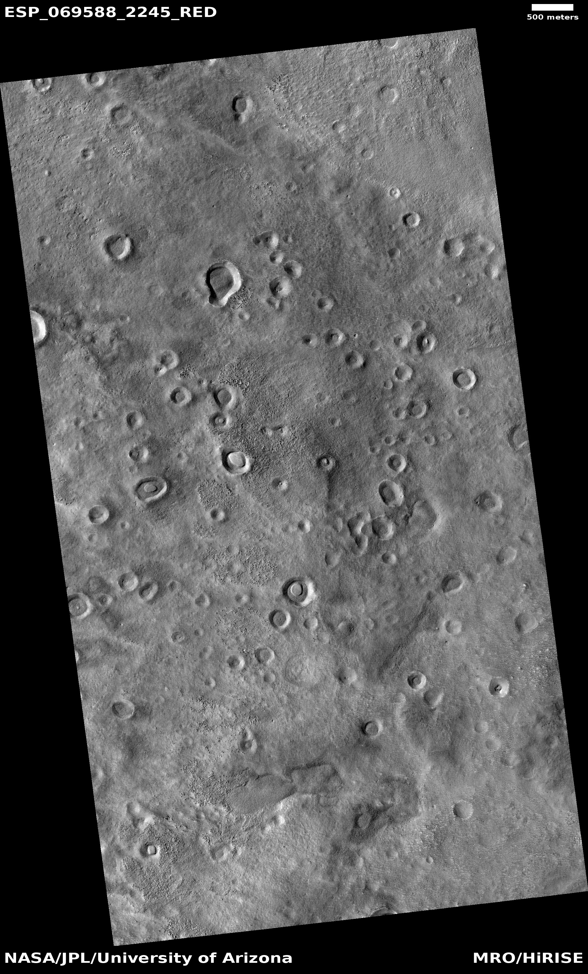
They are presently at the general location where they wish to drill, and are looking for the exact right spot.
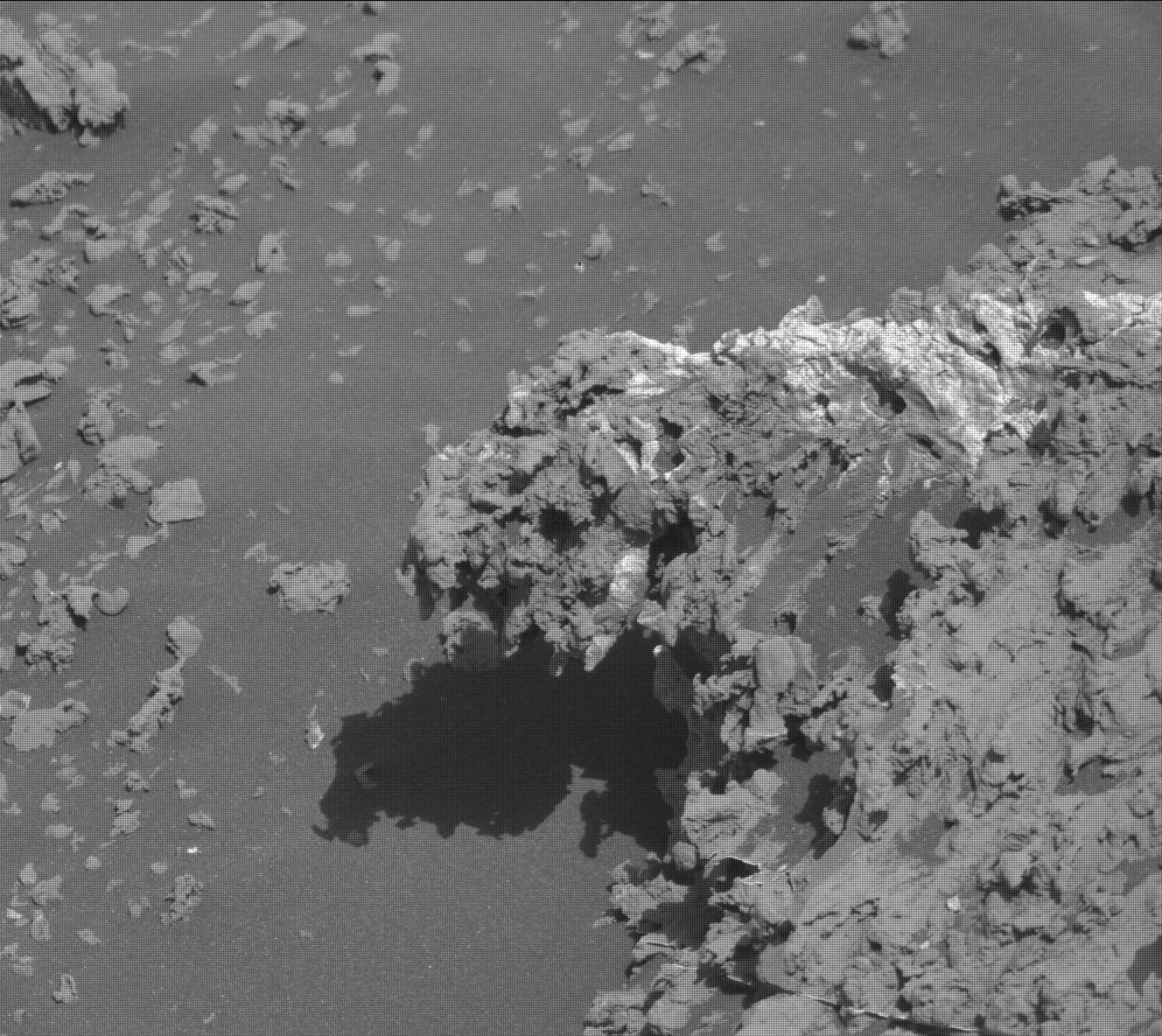
The sampling sequence begins with the rover placing everything necessary for sampling within reach of its 7-foot (2-meter) long robotic arm. It will then perform an imagery survey, so NASA’s science team can determine the exact location for taking the first sample, and a separate target site in the same area for “proximity science.”
“The idea is to get valuable data on the rock we are about to sample by finding its geologic twin and performing detailed in-situ analysis,” said science campaign co-lead Vivian Sun, from NASA’s Jet Propulsion Laboratory in Southern California. “On the geologic double, first we use an abrading bit to scrape off the top layers of rock and dust to expose fresh, unweathered surfaces, blow it clean with our Gas Dust Removal Tool, and then get up close and personal with our turret-mounted proximity science instruments SHERLOC, PIXL, and WATSON.”
“After our pre-coring science is complete, we will limit rover tasks for a sol, or a Martian day,” said Sun. “This will allow the rover to fully charge its battery for the events of the following day.”
Sampling day kicks off with the sample-handling arm within the Adaptive Caching Assembly retrieving a sample tube, heating it, and then inserting it into a coring bit. A device called the bit carousel transports the tube and bit to a rotary-percussive drill on Perseverance’s robotic arm, which will then drill the untouched geologic “twin” of the rock studied the previous sol, filling the tube with a core sample roughly the size of a piece of chalk.
Perseverance’s arm will then move the bit-and-tube combination back into bit carousel, which will transfer it back into the Adaptive Caching Assembly, where the sample will be measured for volume, photographed, hermetically sealed, and stored. The next time the sample tube contents are seen, they will be in a clean room facility on Earth, for analysis using scientific instruments much too large to send to Mars.
Not all drill samples will be cached in this manner.
With this press release and press conference NASA continued to push the fiction to the press that Perservance’s prime mission is to search for life. That is a lie designed to catch the interest of ignorant journalists who don’t know anything. The rover’s real mission is to study the overall Martian geology in Jezero Crater in order to better under the planet’s present geology as well as the geological history that made it look like it does today.
If the scientists using Perseverance find evidence of life, wonderful, but that is not their prime goal.


