
Ghost dunes on Mars
Scientists have found Martian pits formed by the leftover remains of dunes that long ago blew away.
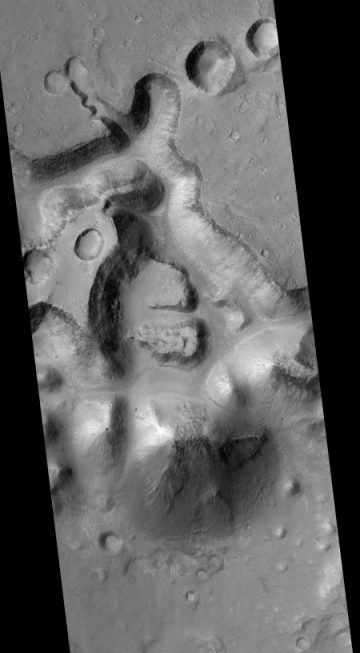
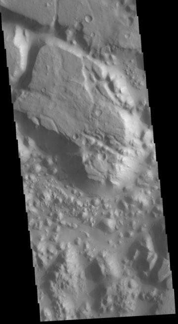
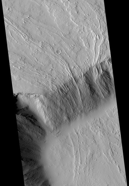
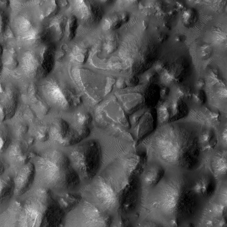
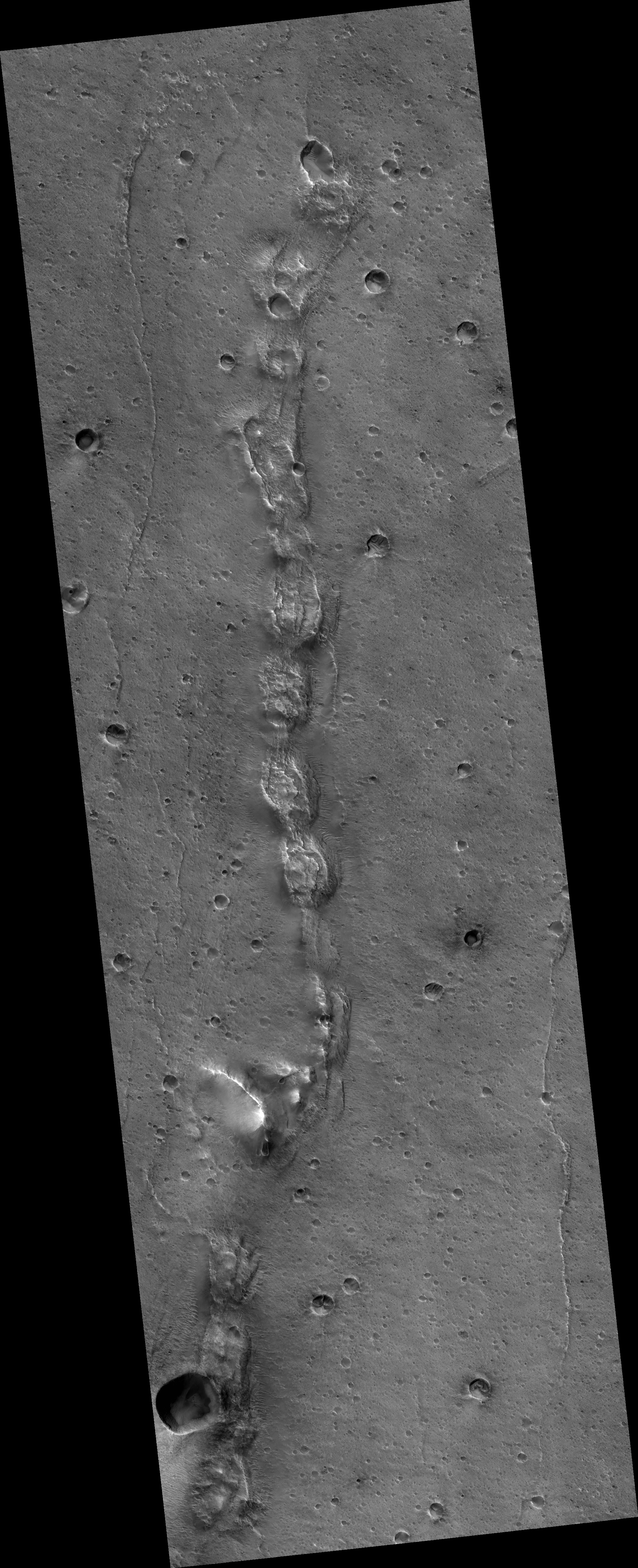
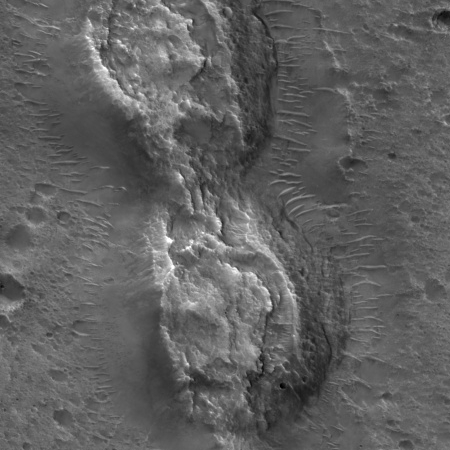
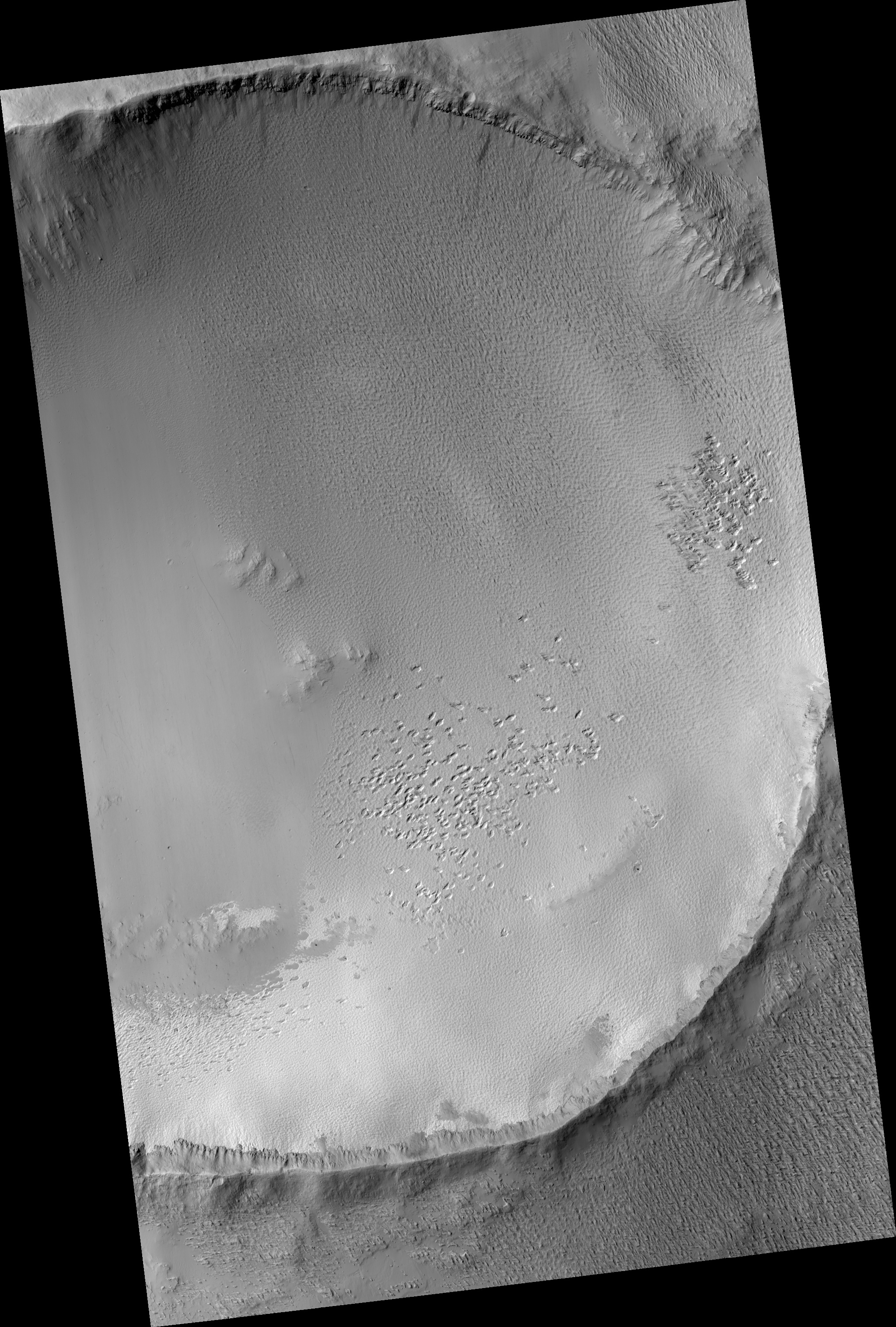
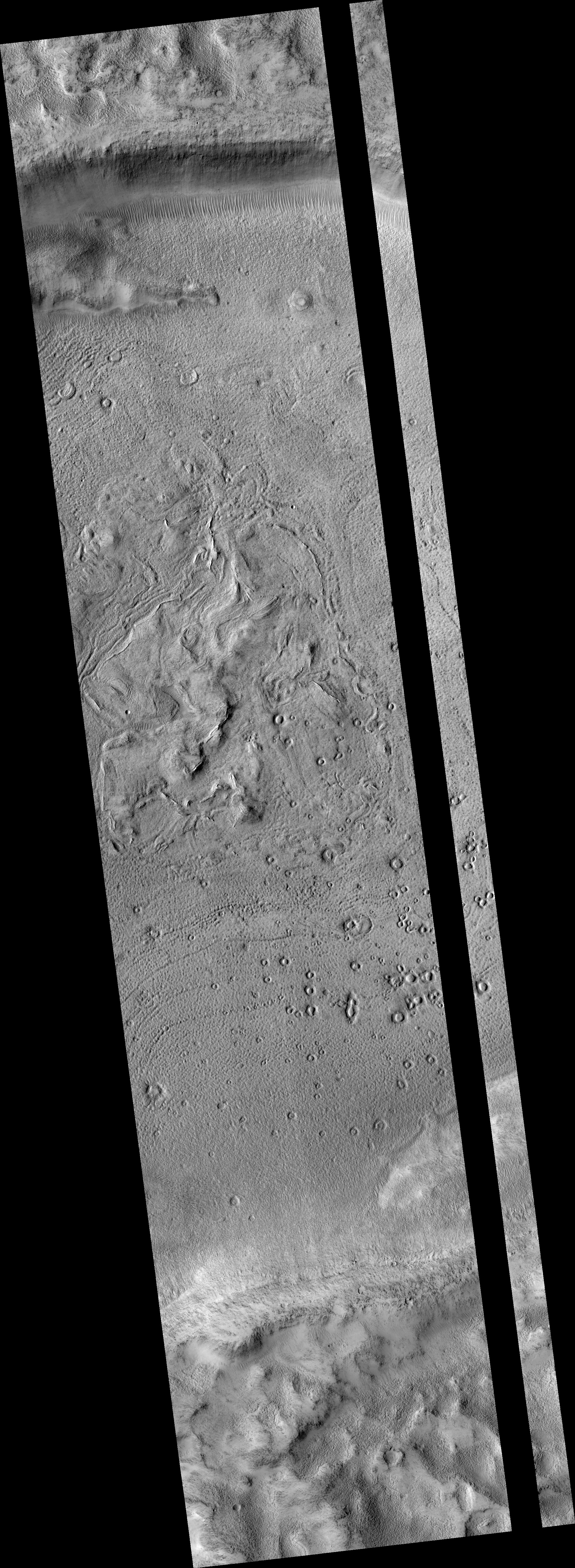
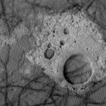
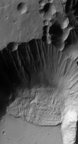
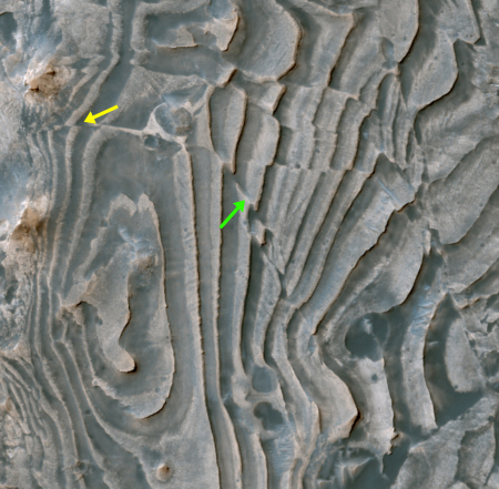
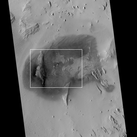
Scientists have discovered hundreds of crescent-shaped pits on Mars where sand dunes the size of the U.S. Capitol stood billions of years ago. The curves of these ancient dune impressions record the direction of prevailing winds on the Red Planet, providing potential clues to Mars’s past climate, and may hold evidence of ancient life, according to a new study detailing the findings in the Journal of Geophysical Research: Planets, a publication of the American Geophysical Union.
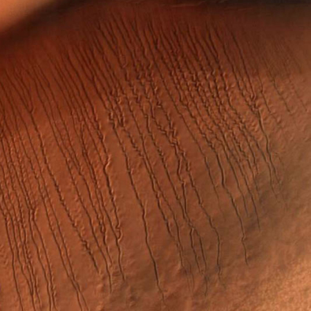
Ghost dunes are the negative space left behind by long-vanished sand dunes. Lava or water-borne sediments partially buried the dunes and hardened, preserving the dunes’ contours. Wind subsequently blew sand off the exposed tops and scoured it out from inside, leaving a solid mold in the shape of the lost dune.
The claim that these geological features “may hold evidence of ancient life” is pure hyperbole, and absurd. However, the features are important because they will help date the sediment or lava flows around them, while also providing markers to help understand the history of the Martian climate.
