
Streaky Mars: Slope streaks and recurring slope lineae
Click for source paper [pdf].
Numerous presentations at this week’s 50th Lunar and Planetary Science Conference in Texas have focused on two different changing features on the Martian surface, dubbed slope streaks and recurring slope lineae (or RSLs, an example of an unnecessary and unwieldy acronym that I avoid like the plague).
These apparently are considered two different phenomenon (with some overlap), something I had not recognized previously. For example, one presentation [pdf] this week described slope streaks as:
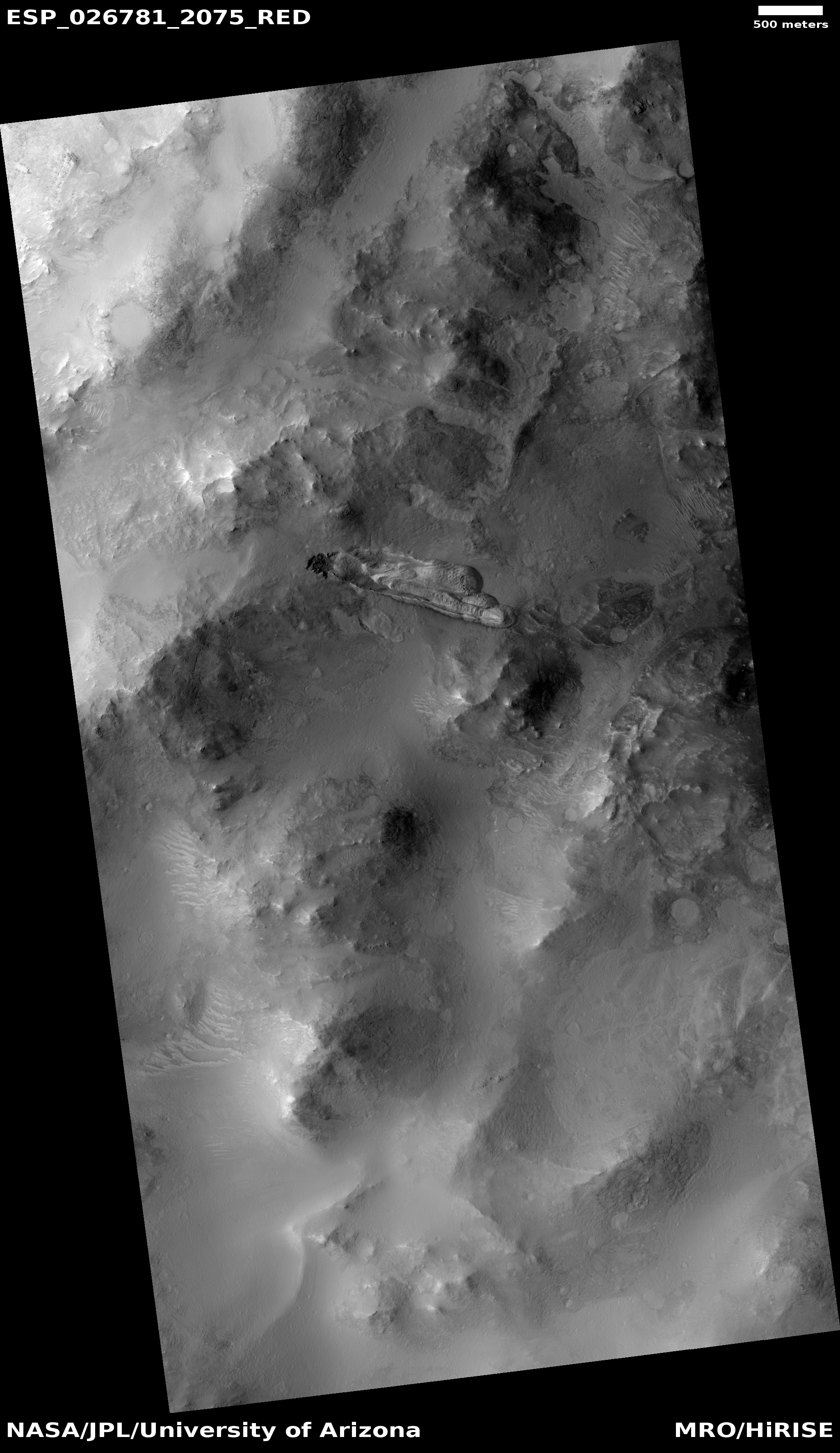
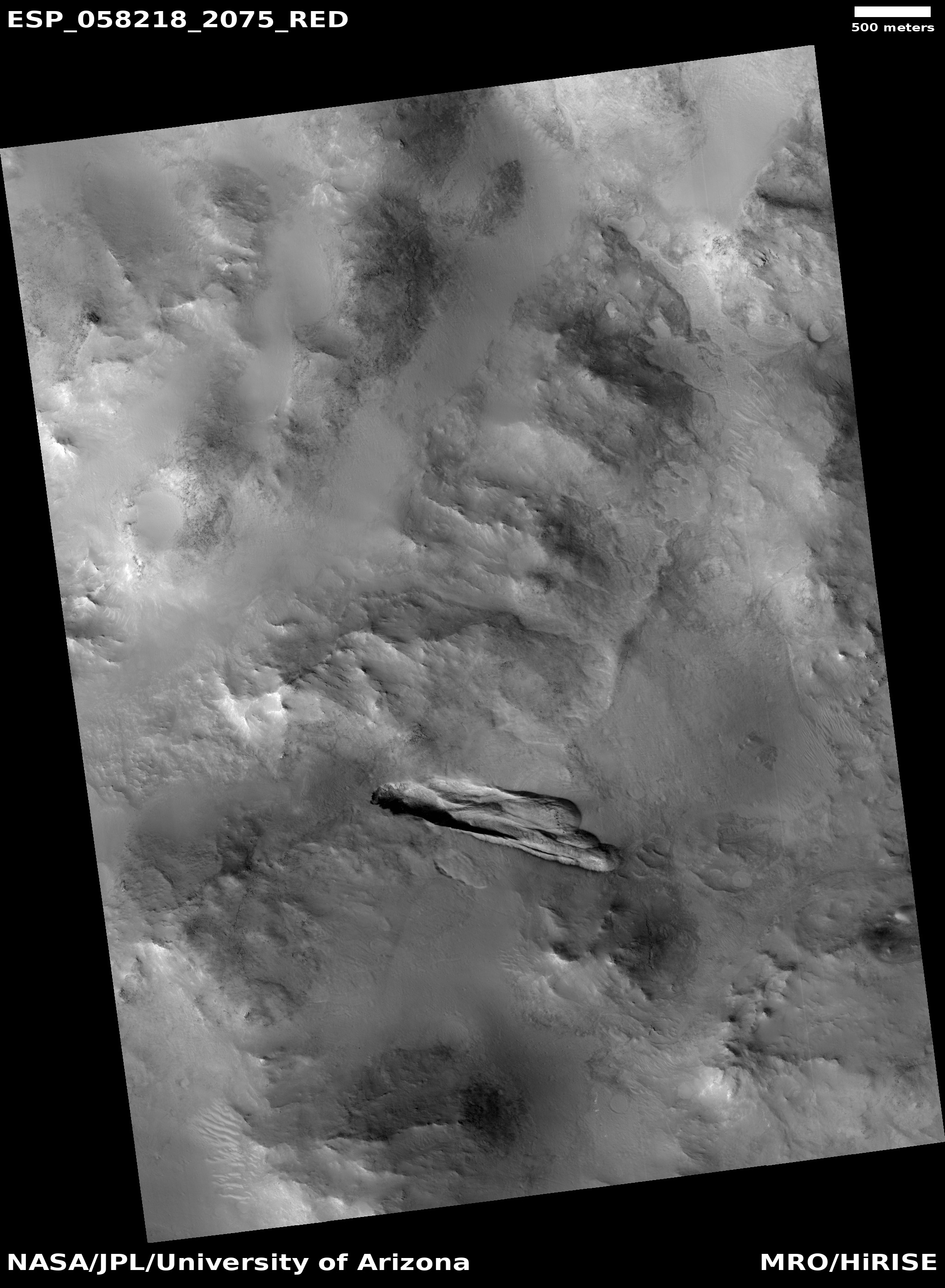
…gravity-driven dark or light-toned features that form throughout the martian year in high-albedo and low-thermal-inertia equatorial regions of Mars. The distinctive features originate from point sources on slopes steeper than ~20°, follow the topographic gradient, extend or divert around small obstacles, and propagate up to maximum lengths of a few kilometers. The streaks brighten with time, sometimes become brighter than their surroundings, and fade away over timescales of decades. [emphasis mine]
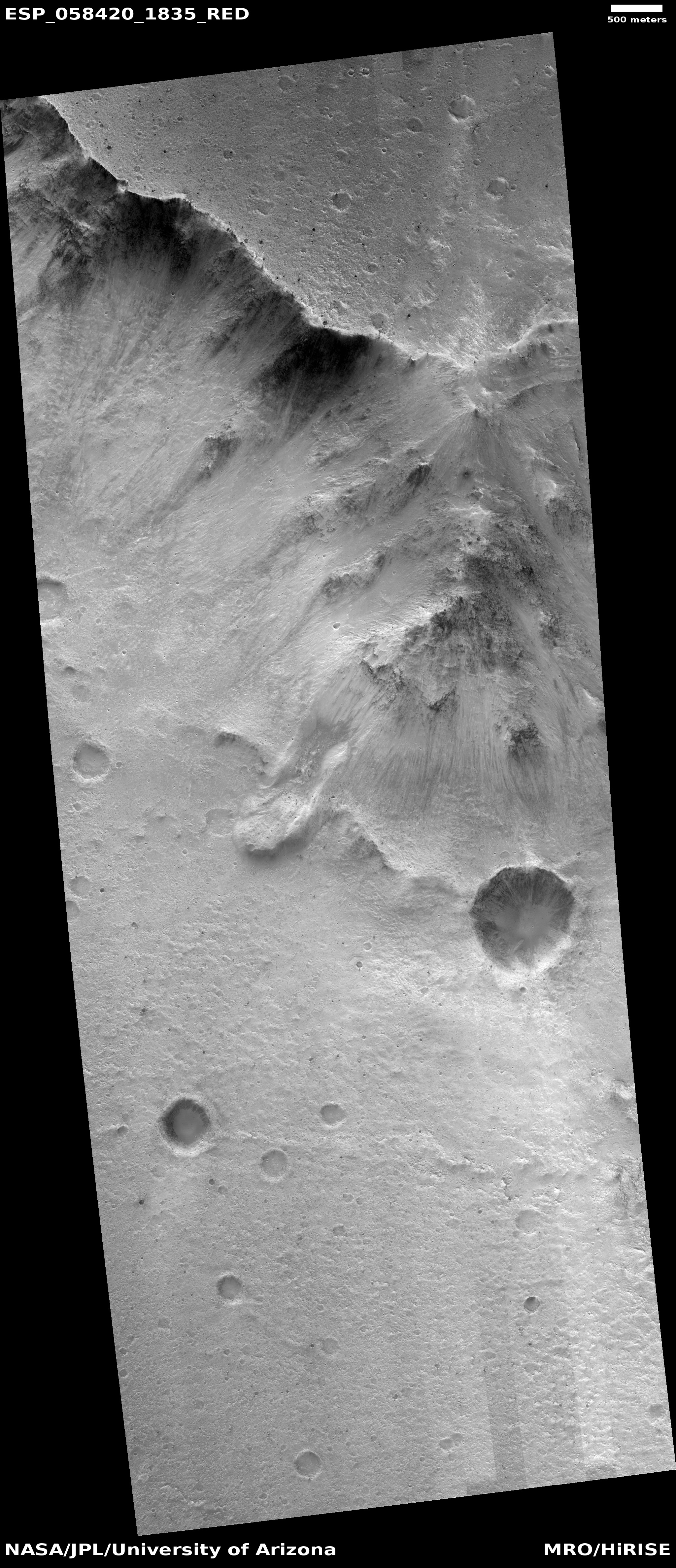
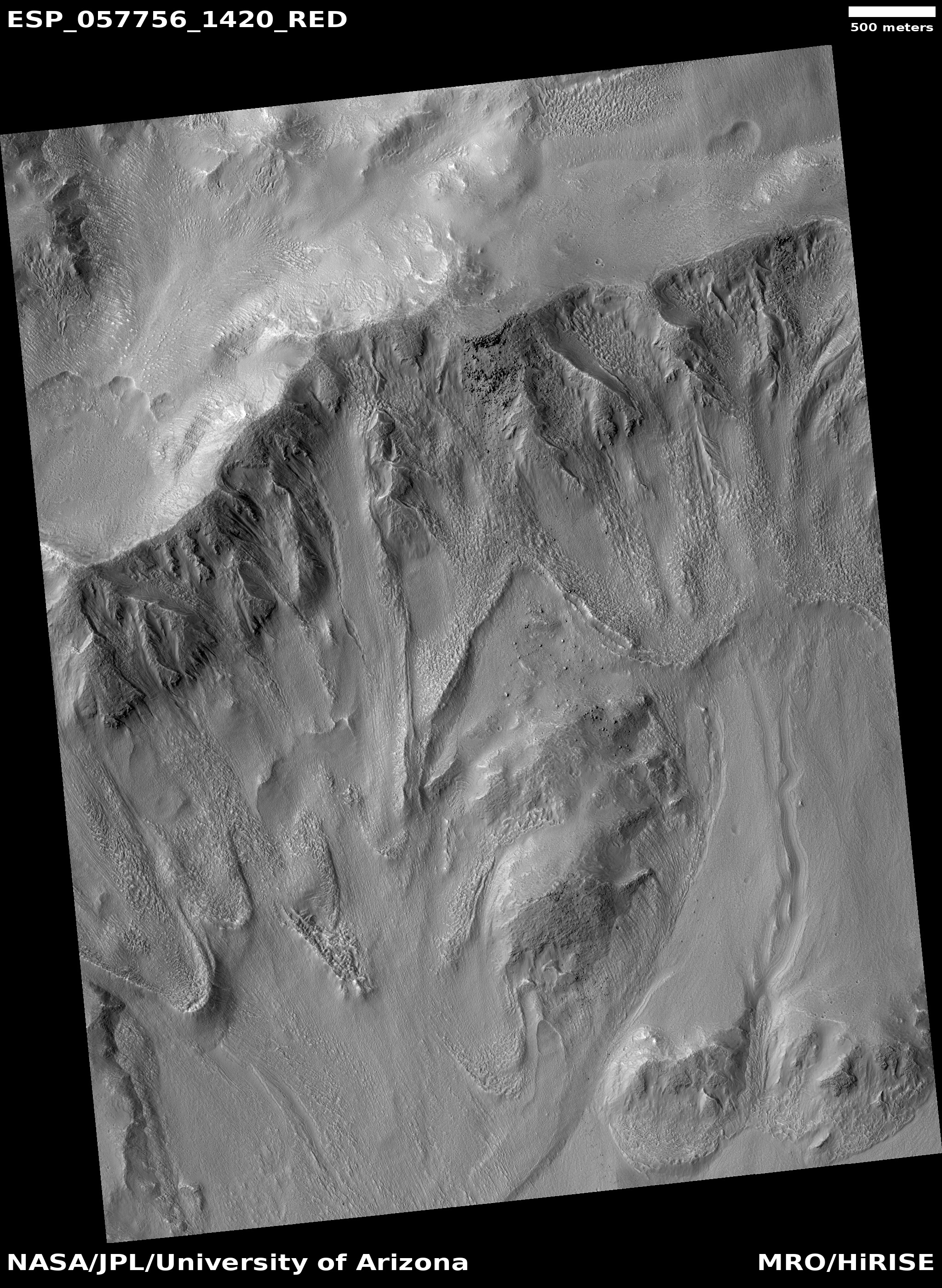
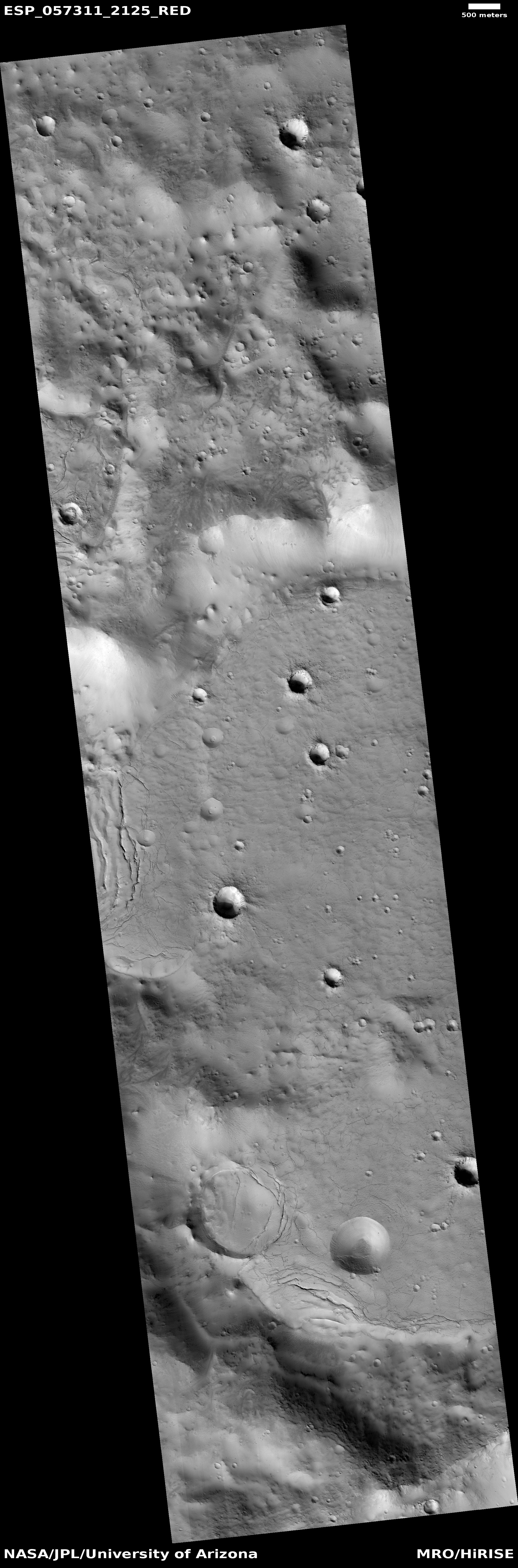
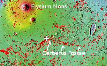
An example can be seen here. This is in contrast to the recurring slope lineae, shown in the image above, which another paper [pdf] described as:
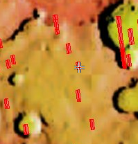
…dark linear features that occur on the surface of steep slopes in the mid-latitudes of Mars. These areas are warm, occasionally exceeding temperatures of 273-320 K. [Lineae] recur over multiple years, growing during warm seasons and fading away during colder seasons. Their apparent temperature dependency raises the possibility that liquid water is involved in their formation. [emphasis mine]
I have highlighted the key differences. While slope streaks are long lived and change slowly, lineae change with the Martian seasons. And the slope streaks appear to exist at lower latitudes. These difference means that the formation process of each must be also different.
The problem is that scientists still don’t know what causes either, though they have many theories, involving both wet and dry processes.
Most of the presentations at the conference this week focused on the recurring lineae, which I suspect is because of their seasonal aspect. This feature strongly suggests a water-related source for the lineae, and everyone who studies Mars is always focused on finding sources on Mars where liquid water might be found. Also, slope streaks appear more often in dunes, which also strongly suggests a dry process. One paper, however, did a comparison study of lineae with one specific kind of dune slope streak to see if the freatures might be related.
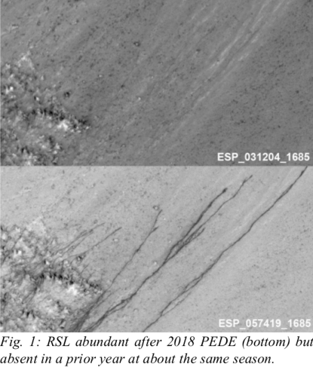
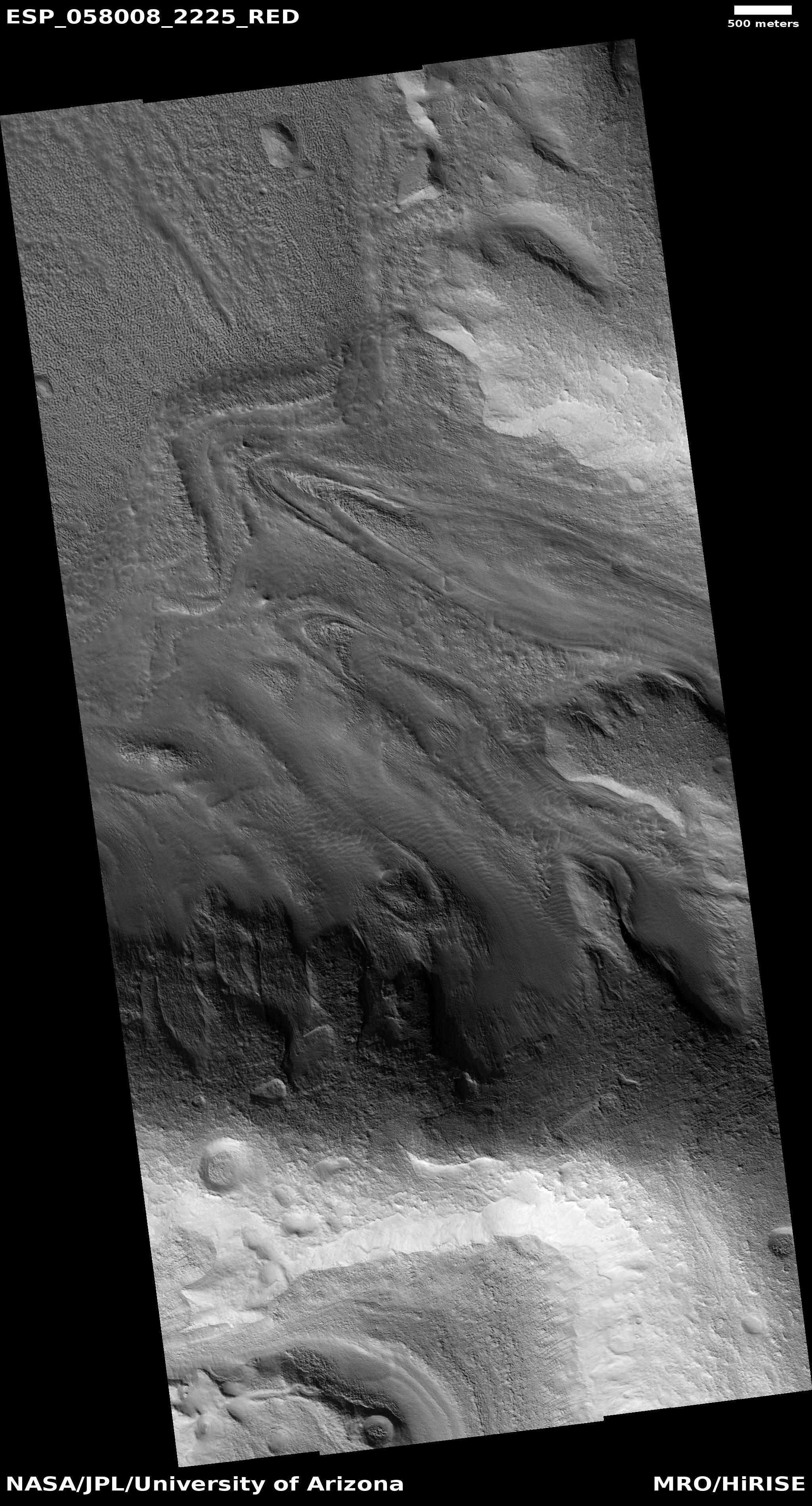
The most interesting result [pdf] for all these papers documented the apparent increase in recurring lineae following the global dust storm last year. The image at the top of that post is from this paper, and shows a fresh lineae where none had been prior to the storm. From the paper’s abstract:
» Read more


