Mountains and buried ice on Mars
Mountains and buried ice on Mars.
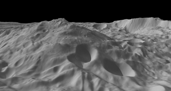
New images from the high-resolution stereo camera on ESA’s Mars Express orbiter allow a closer inspection [of the Phlegra Montes mountain range] and show that almost every mountain is surrounded by ‘lobate debris aprons’ – curved features typically observed around plateaus and mountains at these latitudes. Previous studies have shown that this material appears to have moved down the mountain slopes over time, and looks similar to the debris found covering glaciers here on Earth.