
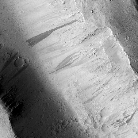
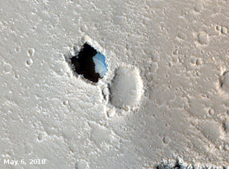
A strange bulge on Mars
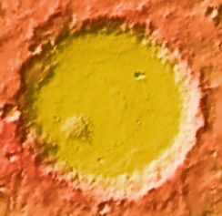
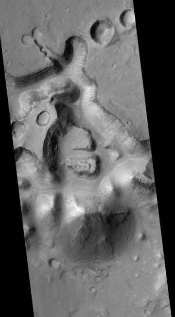
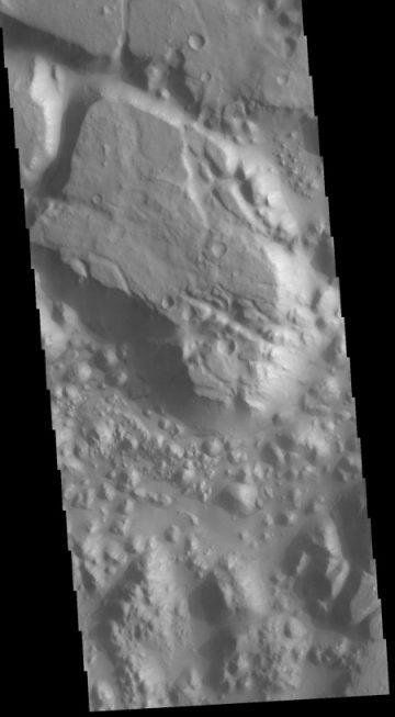
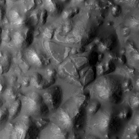
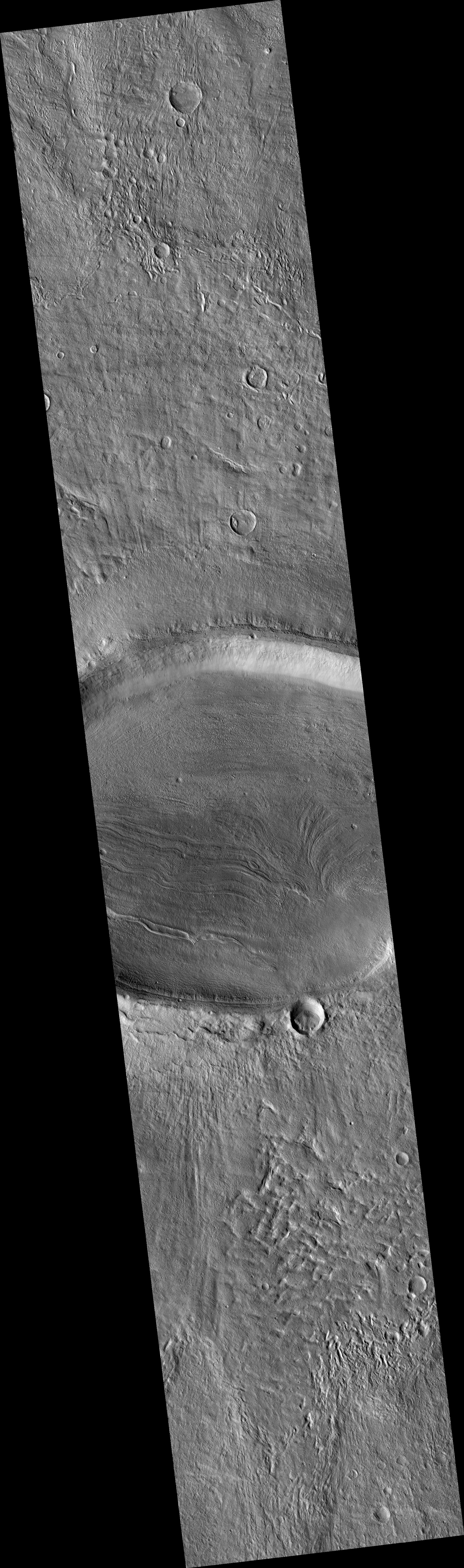
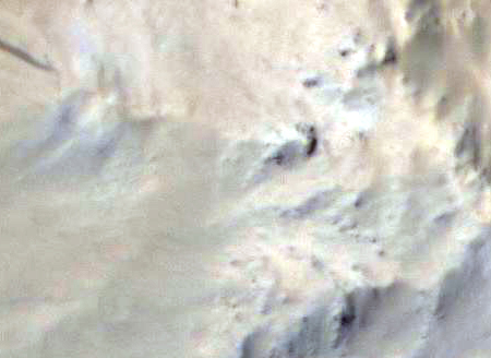
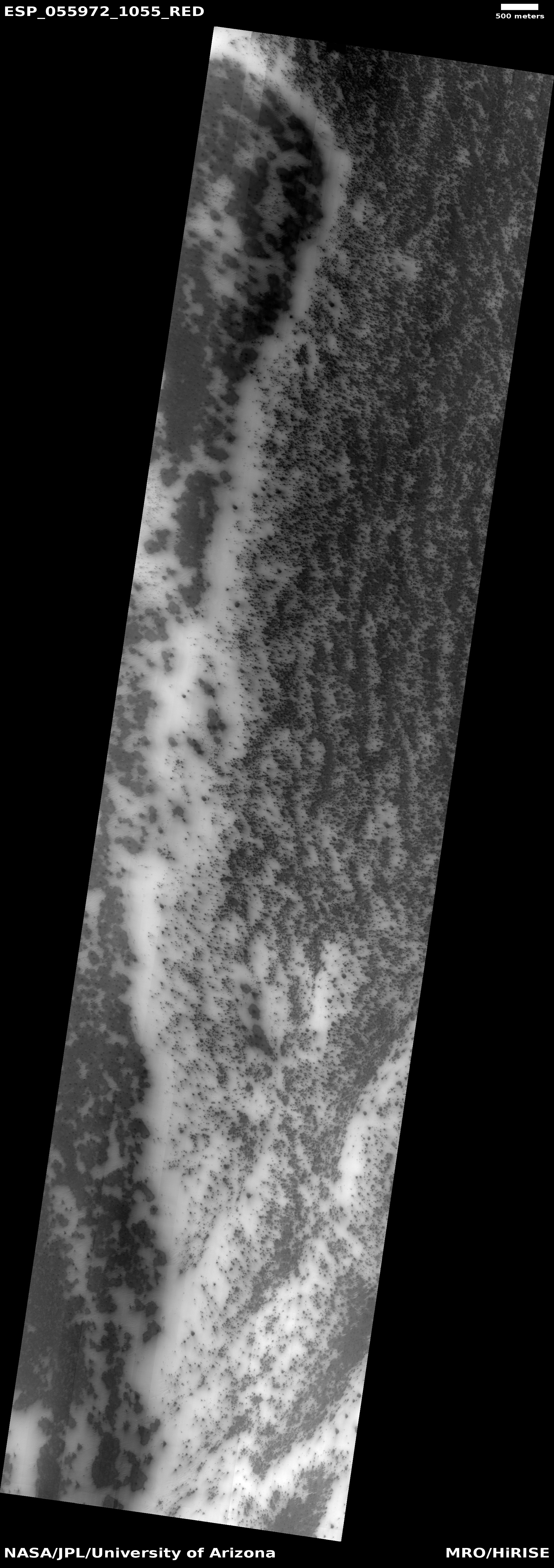
Cool image time! The image on the right is not the cool image, but a context image of 59-mile-wide Pollack Crater, located slightly south of the Martian equator in the planet’s southern cratered highlands. What makes this crater intriguing to planetary scientists, and has prompted them to take many images over the decades, is the bulge in the southwest part of the crater’s floor. You don’t normally see a rise off-center like this inside craters. If there were any peaks, you’d expect them to be in the center, formed during the impact, when the crater floor melts and acts more like water in a pond when you drop a pebble into it, forming ripples with an uplifting drop in the dead center.
It therefore isn’t surprising that planetary scientists have taken a lot of pictures of this bulge, going back to the Mariner 9 orbiter in 1972, which first discovered it. Scientists then dubbed it “White Rock” because in the first black & white images it looked much brighter than the surrounding terrain. Later color images revealed that it is actually somewhat reddish in color, not white. As noted at this Mars Global Surveyor webpage,
» Read more