The crack that splits the giant volcanoes on Mars

Click for full image.
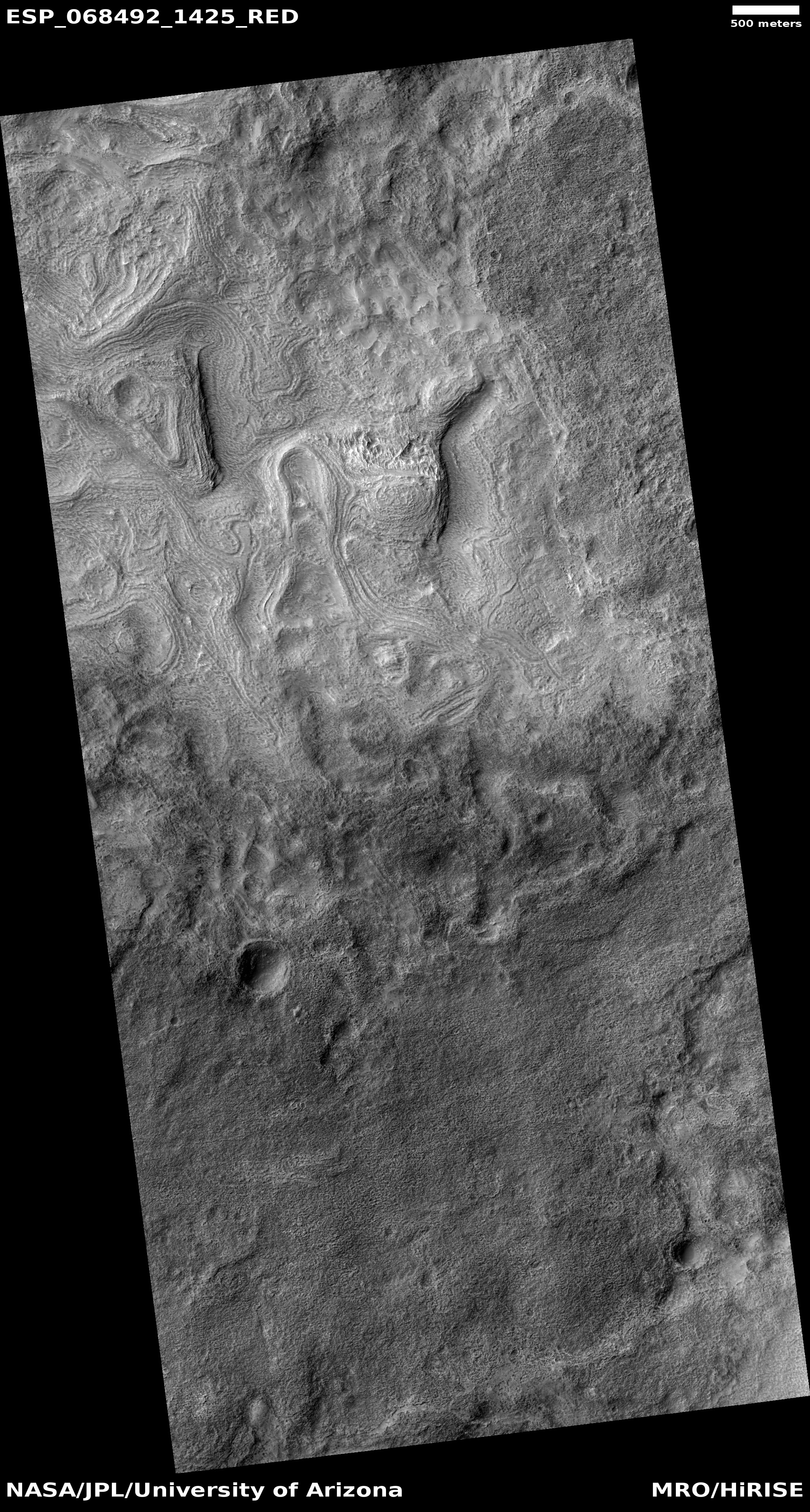
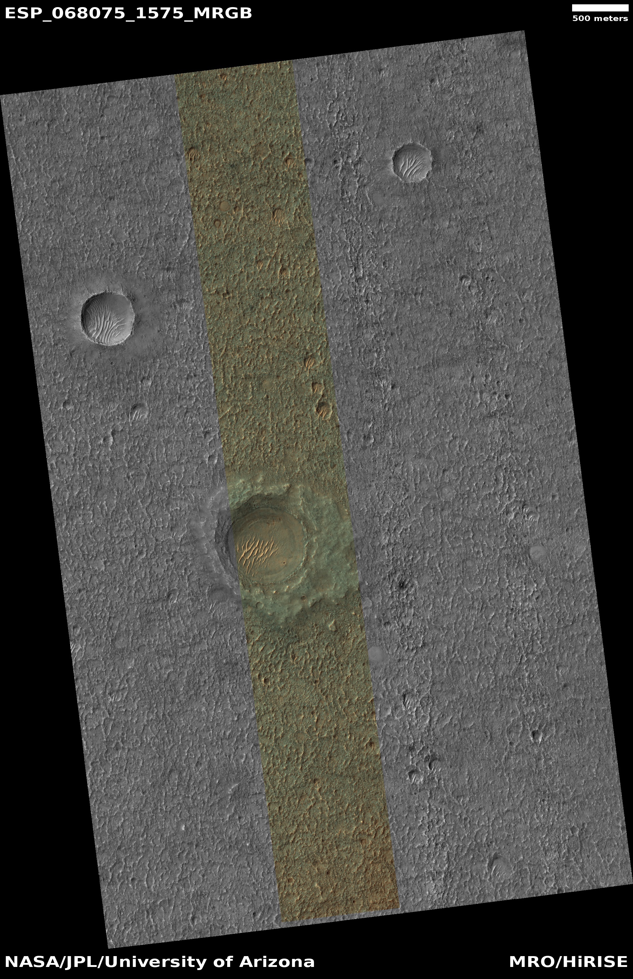
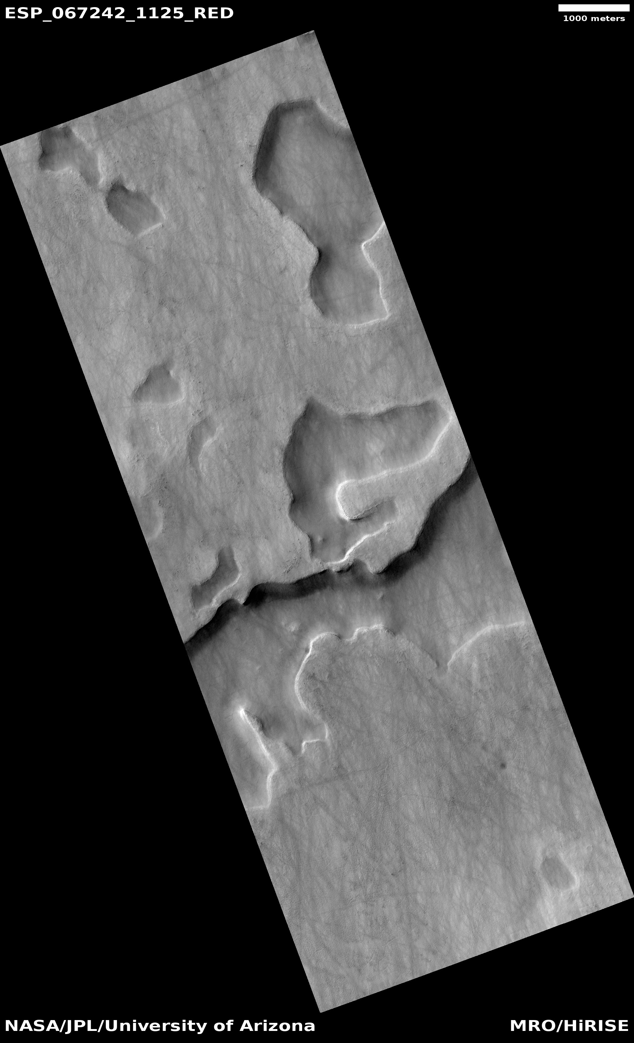
Cool image time! In the April download of new images from the high resolution camera on Mars Reconnaissance Orbiter (MRO) was the photo to the right, taken on February 23, 2021 and cropped and reduced to post here, of what was labeled as “Source Region of Possible Rille on South Flank of Arsia Mons.”
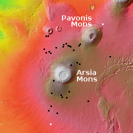
Arsia Mons is the southernmost of the string of three giant volcanoes that sit between Mars’ biggest volcano to the west, Olympus Mons, and Mars’ biggest canyon to the east, Valles Marineris. This depression is on the mountain’s lower southern flank, and likely shows an ancient resurgence point where lava once flowed out from beneath the ground to form a rill meandering to the southwest. Today there is no visible resurgence. The floor of the depression appears to be filled with sand and dust, with the surrounding slopes spotted with scattered boulders.
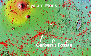
What makes this particular image more interesting is how, when we take a very wide view, it reveals one of the most dramatic geological features on Mars, the 3,500 mile-long crack that caused these three volcanoes, and is actually not obvious unless you know what to look for.
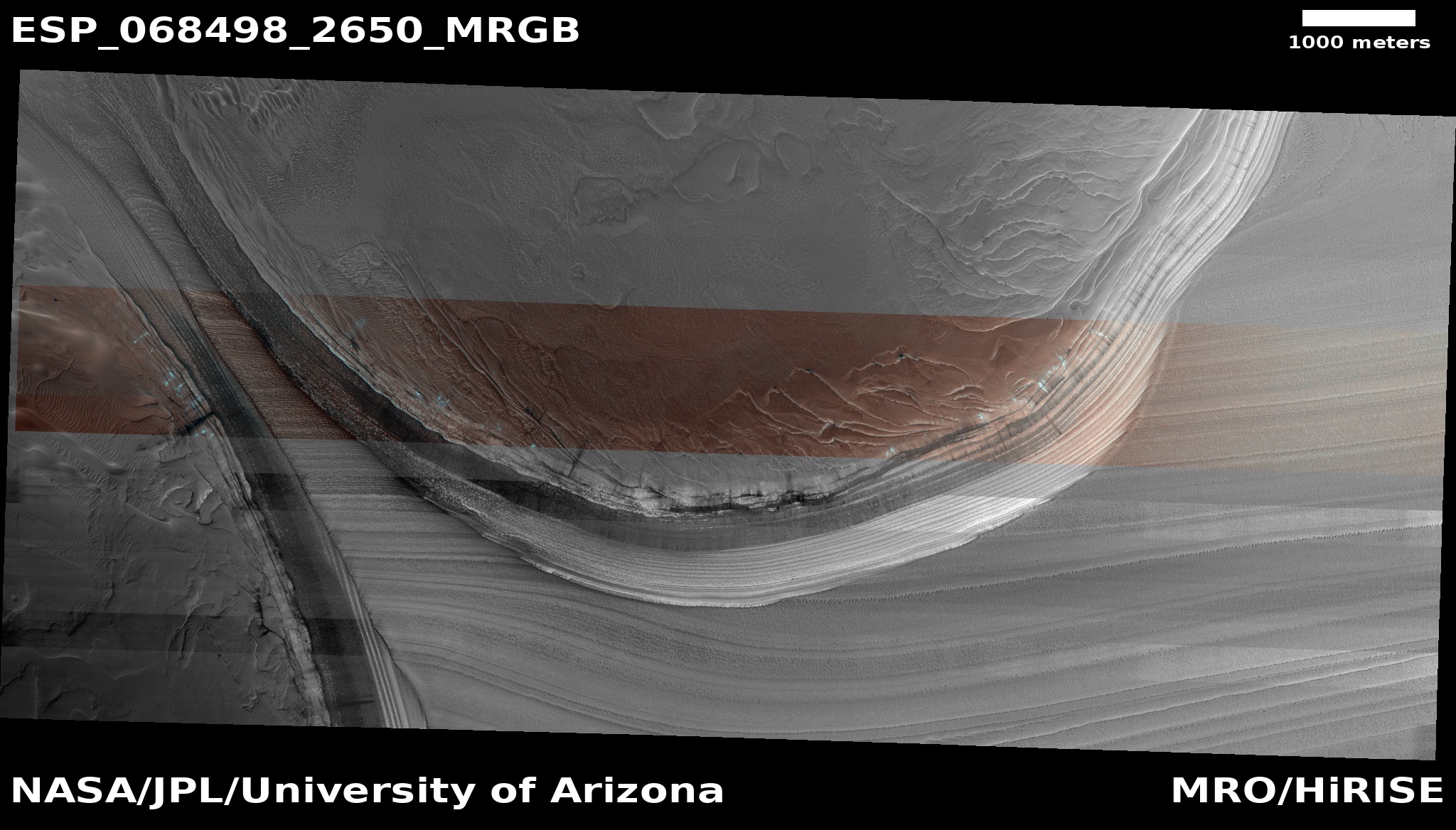
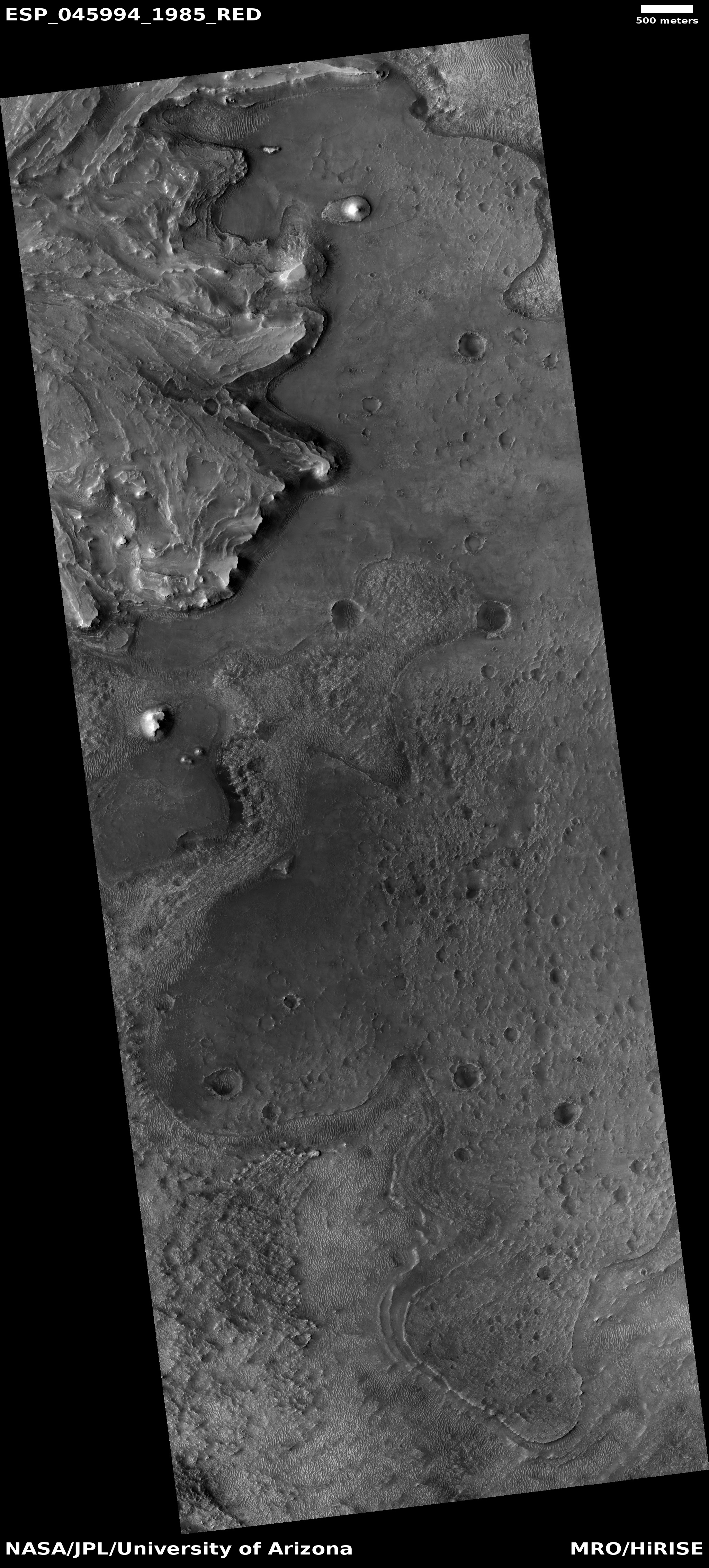
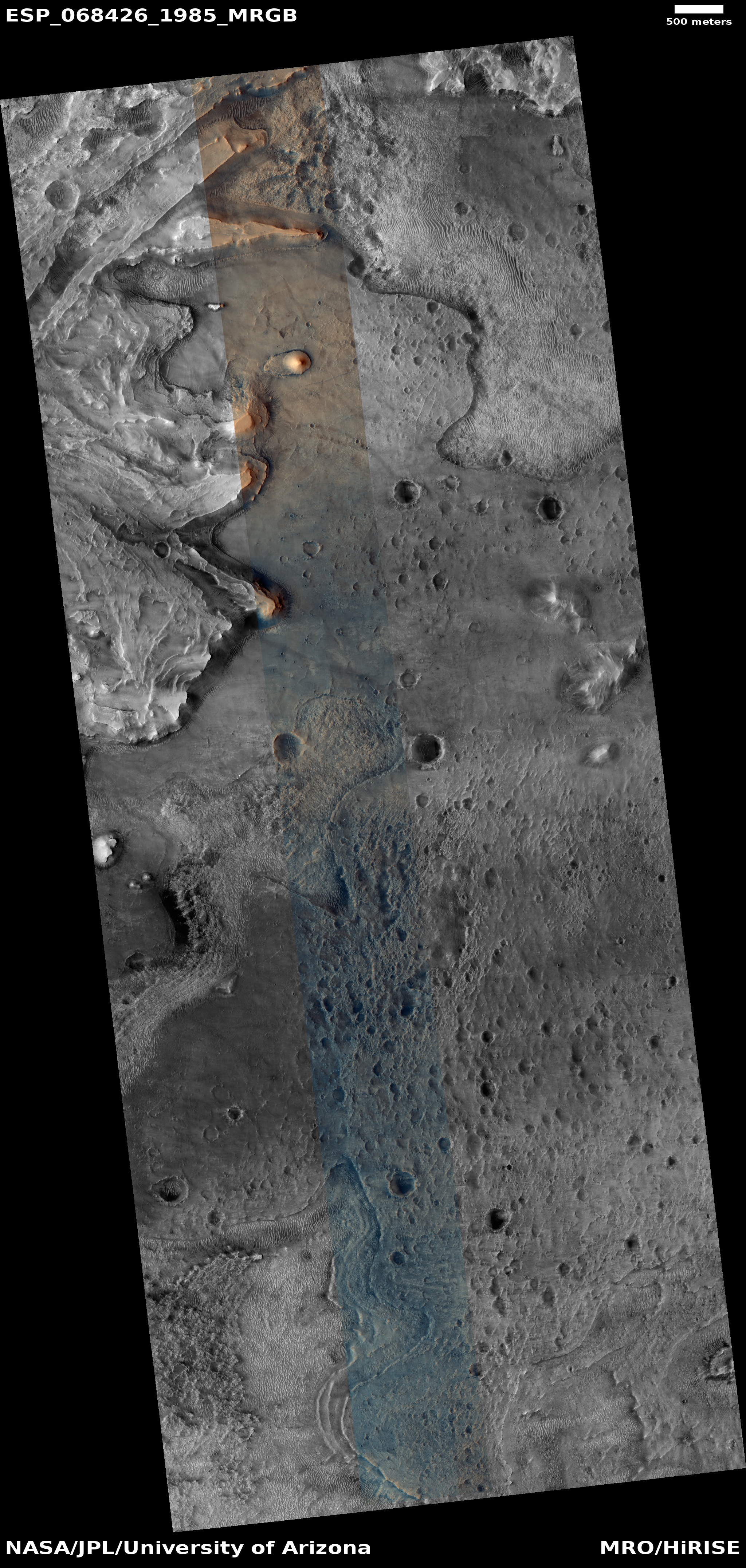
So we need to zoom out. Let us first begin with a mosaic of three wider MRO context camera images, showing the entire rille and the immediately surrounding terrain.
» Read more