
InSight likely to shut down by the end of summer
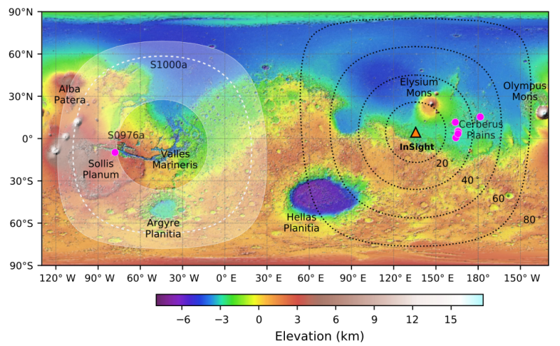
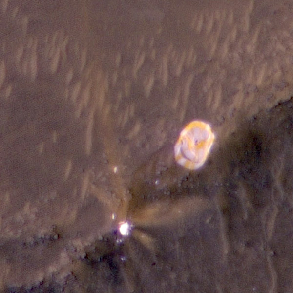
Martian quake map as seen by InSight, adapted from this 2021
presentation [pdf]
According to the InSight science team, the Mars lander and its seismometer will likely shut down operations by the end of the summer due to lack of power.
“Towards the end of summer of ’22, we anticipate our seismometer will be turned off, not because we want to turn it off but unfortunately, we don’t have the energy to run it,” Garcia said. She said the team will use it intermittently after that as long as power is available, but by the end of the year the spacecraft is expected to fall silent.
The intermittent readings of the seismometer will be of extremely limited use, as it will then be pure luck whether it detects a quake, and any detection will not provide the true rate of quakes on Mars.
The loss of power is due to dust on the solar panels. The team had hoped a dust devil would come by periodically to blow the panels clean, as happened routinely with the Spirit and Opportunity rovers, but InSight has not been so lucky.
It appears the safe mode that occurred shortly after InSight detected its largest Mars quake yet on May 10th was very temporary, though right now the seismometer is essentially the only instrument they have power to run.
Overall, this mission has a very spotty history. Its launch was delayed two years when the French attempt to build the seismometer failed. The delay cost NASA’s planetary program $150 million, at a minimum.
Then lander’s second of two main instruments, a German experiment to dig down 16 feet to insert a heat sensor into the ground, failed when its digging tool, dubbed the mole, was unable to penetrate the alien Martian soil.
Fortunately, InSight’s prime instrument, the seismometer (finally completed by JPL) worked, giving us a first look into the structure of Mars’ interior as well as where earthquakes are found on its surface.


