The two candidate landing sites for ExoMars2020
The June release of new images from Mars Reconnaissance Orbiter (MRO) included three images of the two candidate landing sites for Europe’s 2020 ExoMars rover mission. All three images provide us as hint at what that rover might see when it arrives a few years from now.
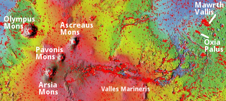
The two candidate sites are locations on Mars dubbed Mawrth Vallis and Oxia Palas. The map to the right shows their general location to the east of Mars’s giant volcanoes and giant canyon Valles Marineris. The red splotches indicate the large number of images taken by MRO of these locations, partly to help the ExoMars science team choose which site to pick and partly to study the geology in these Martian locations. As you can see, both candidate sites are in the transition zone between the northern low plains and the southern highlands.
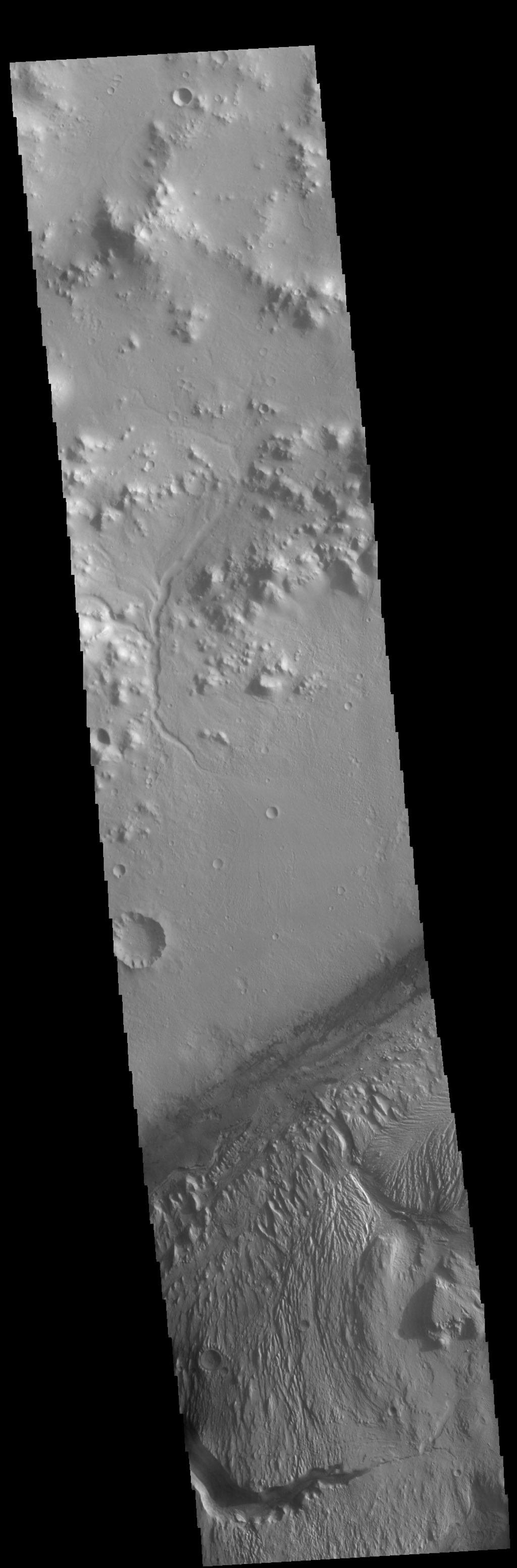
At first glance Mawrth Vallis seems the more spectacular site. Mawrth (Welsh for Mars) is one of the gigantic drainage canyons near Valles Marineris. Though tiny in comparison to Valles Marineris, on Earth it would easily rival the Grand Canyon in size, and in fact is slightly longer (400 miles versus 300 miles). Unlike the Grand Canyon, however, Mawrth Vallis doesn’t appear to have a distinct or obvious rim. This video, produced by the European Space Agency using images from its Mars Express orbiter, gives a sense of the canyon’s terrain as it flies upstream from the northern lowlands to the canyon’s high point in the southern highlands. The highlands on either side of the canyon more resemble the broken geology of Mars’s chaos regions that are found scattered about in this transition zone than the flat generally level Kaibab plateau that surrounds the Grand Canyon.
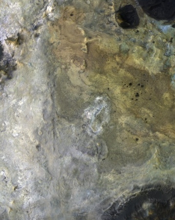
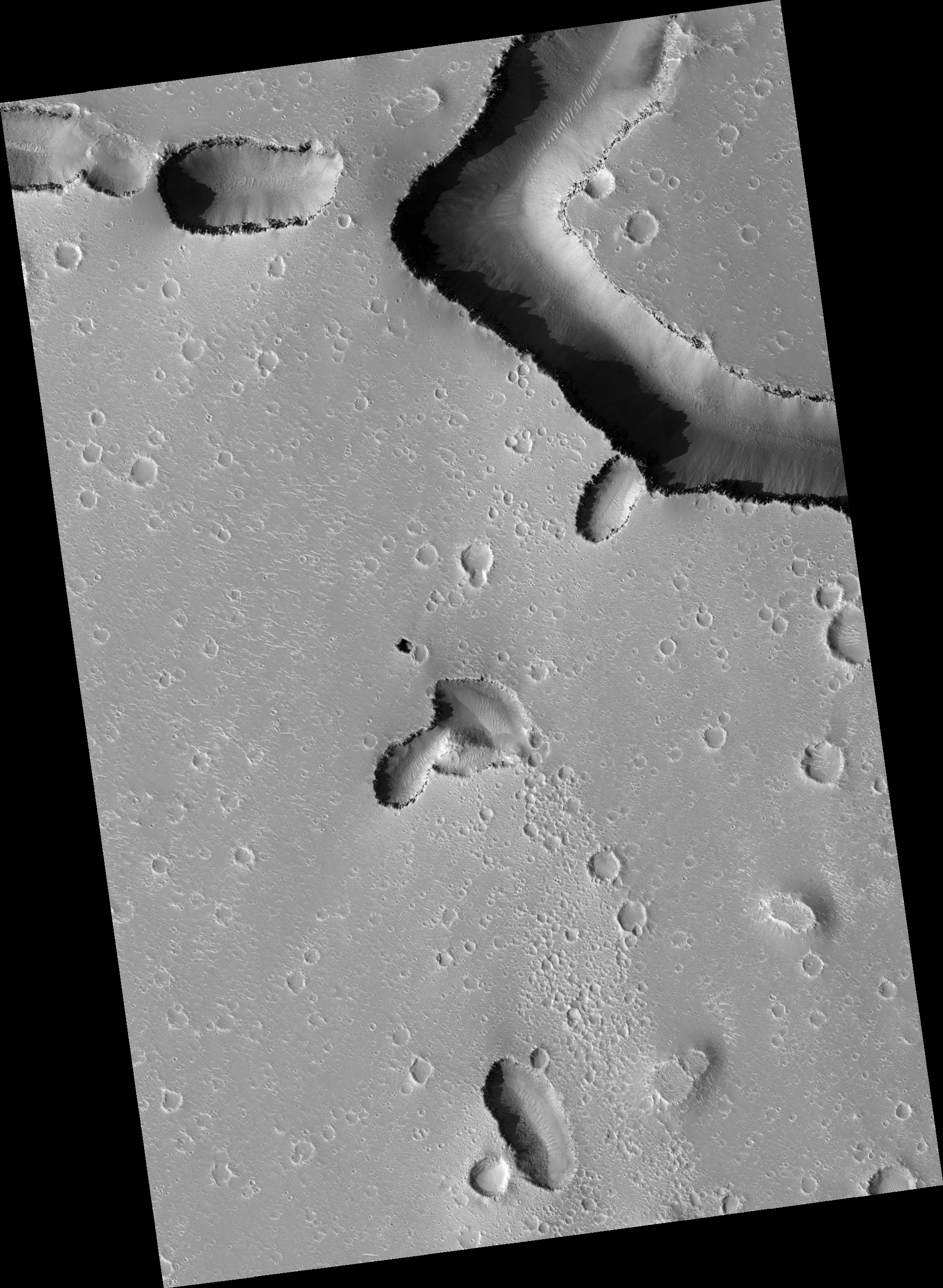
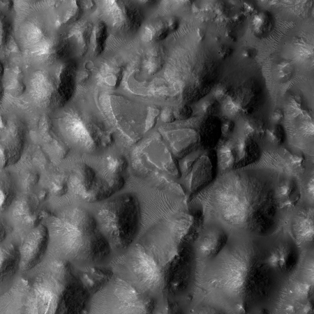
The image on the right is a tiny crop from the most recently released MRO image. The full image shows a strip of the upper plateau south of canyon and near its inlet from the southern highlands. This crop reveals a surface that is a wild mixture of colors and complex geology. In fact, in a 2017 MRO image release showing a different place in Mawrth Vallis, the canyon was dubbed a “painted desert.” To quote that release:
The clay-rich terrain surrounding Mawrth Vallis is one of the most scenic regions of Mars, a future interplanetary park. …The origin of these altered layers is the subject of continued debates, perhaps to be resolved by a future rover on the surface. We do know that these layers are very ancient, dating back to a time when the environment of Mars was wetter and more habitable, if there were any inhabitants.
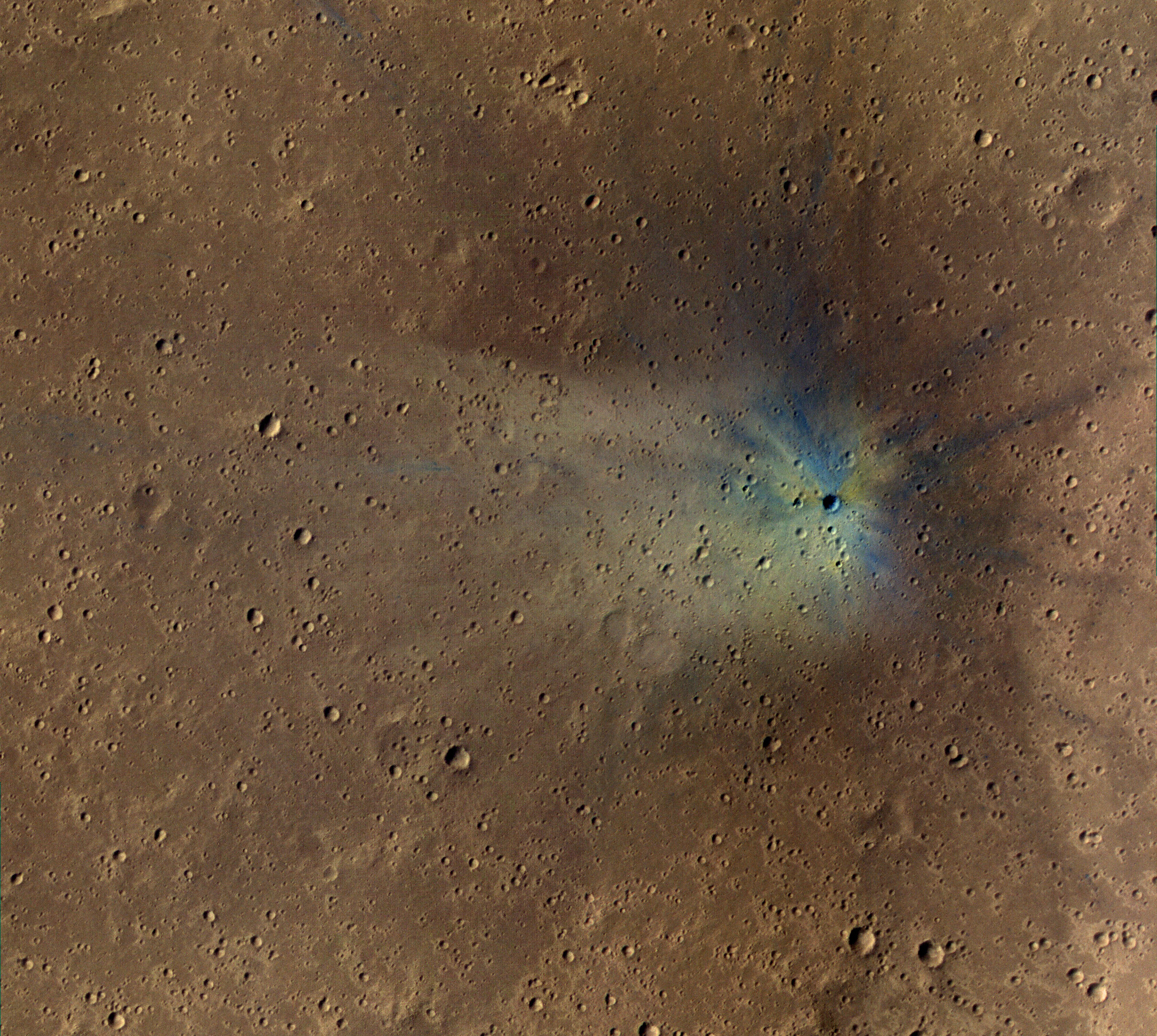
Other MRO images of Mawrth Vallis here and here emphasize this description.
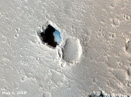
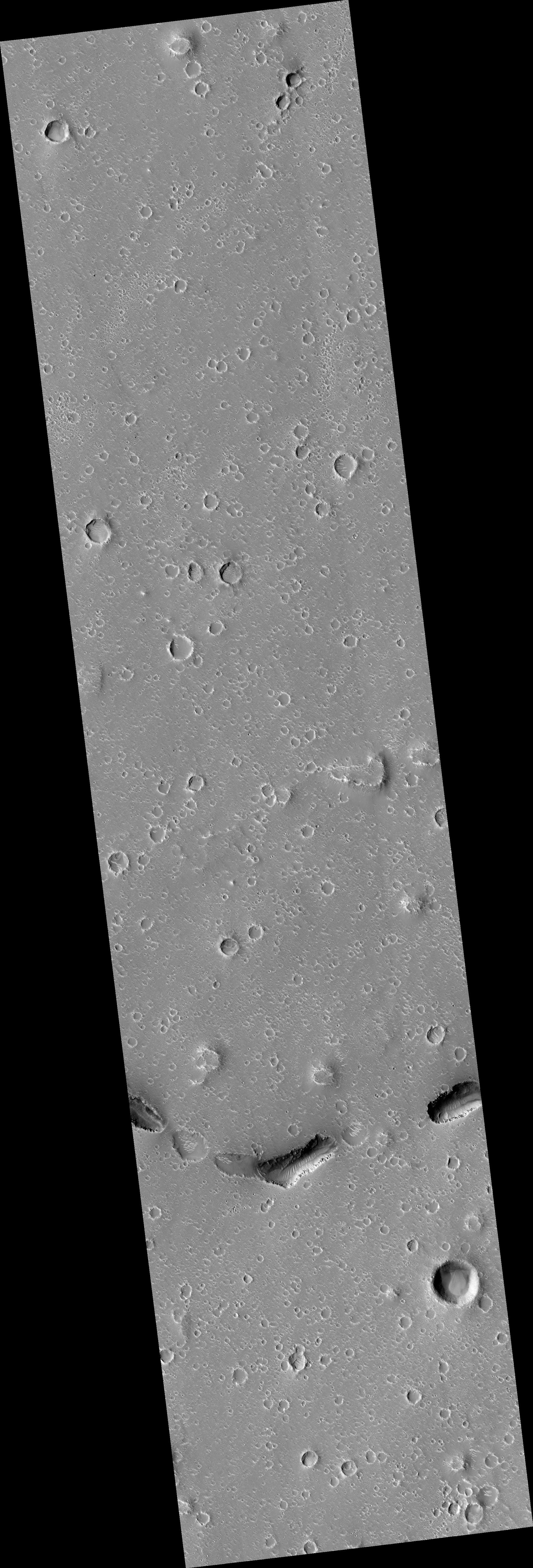
As for Oxia Palas, the other candidate landing site for ExoMars 2020, in the June MRO image release there were two images.
» Read more