
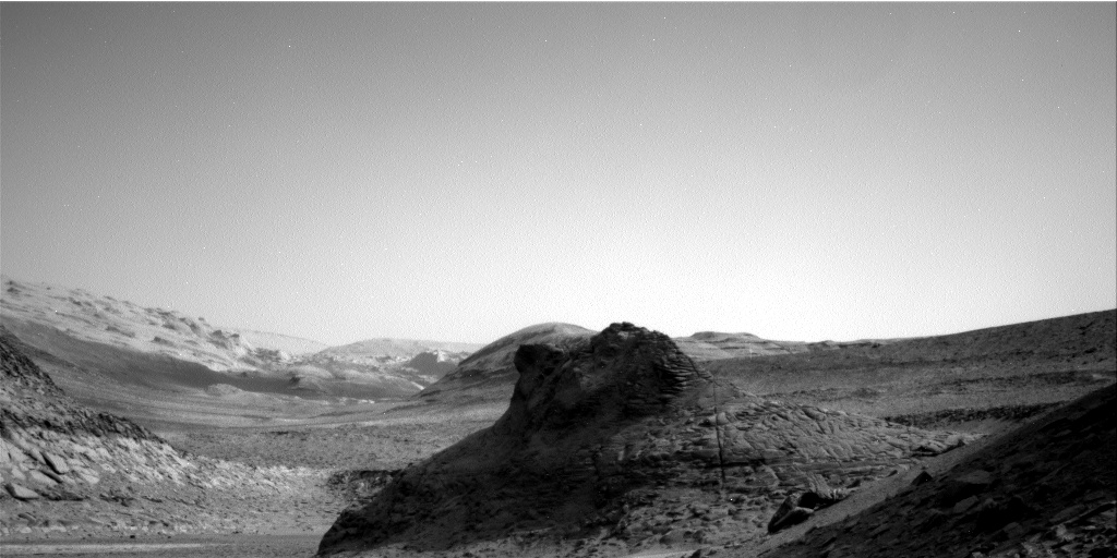
A Martian hill of pillows
Click for original image.
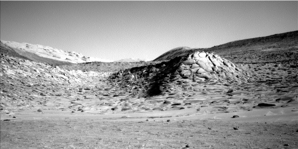
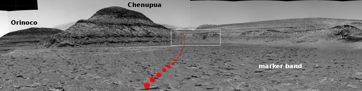
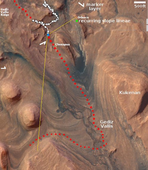
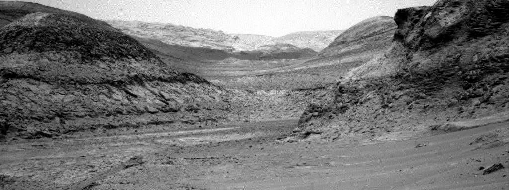
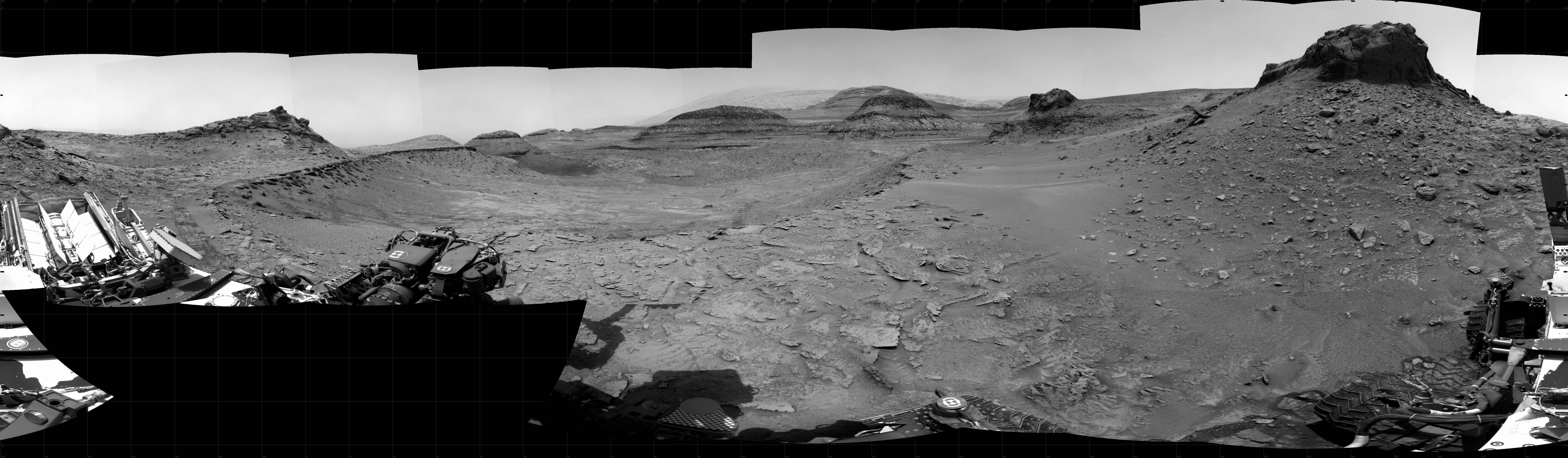
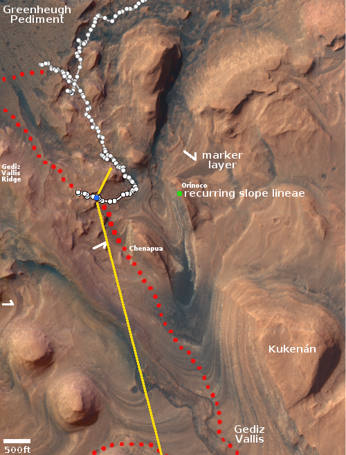
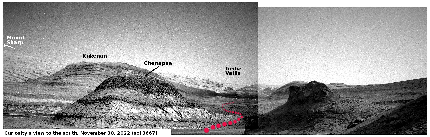
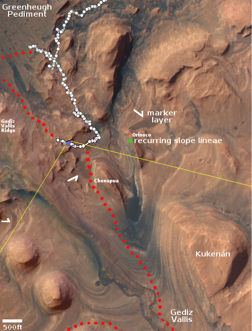
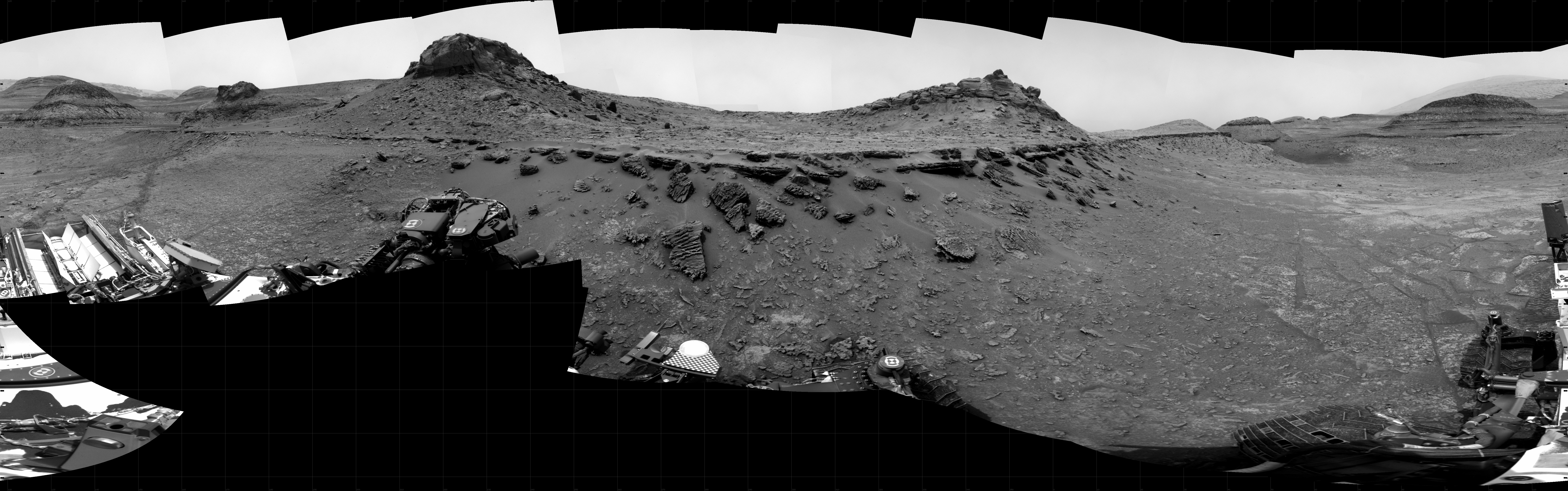
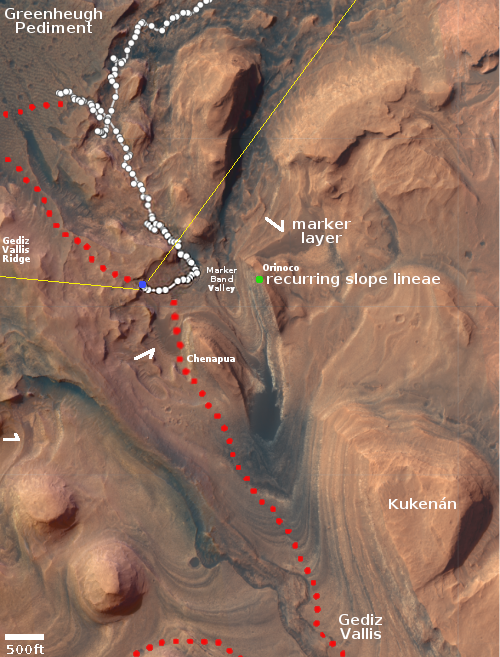
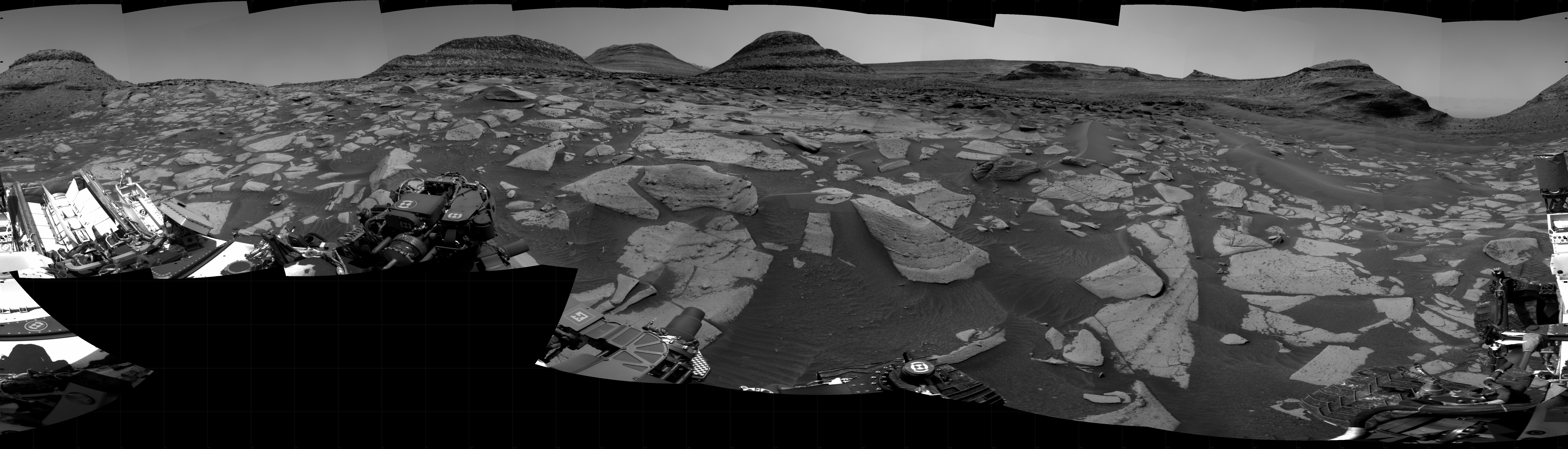
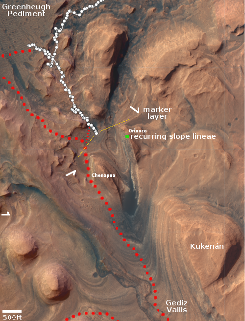
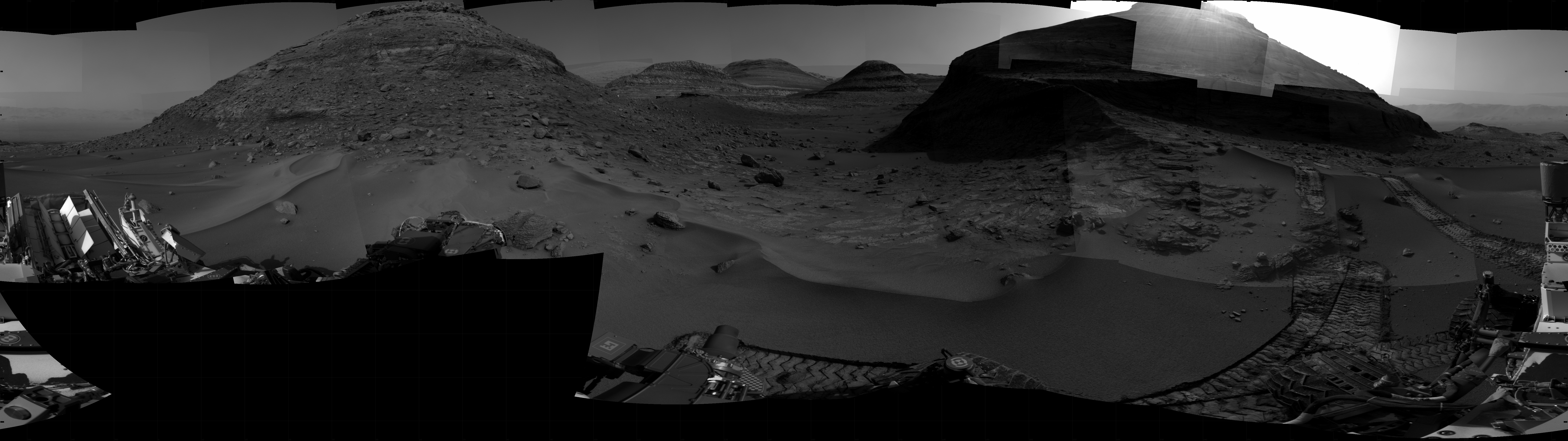
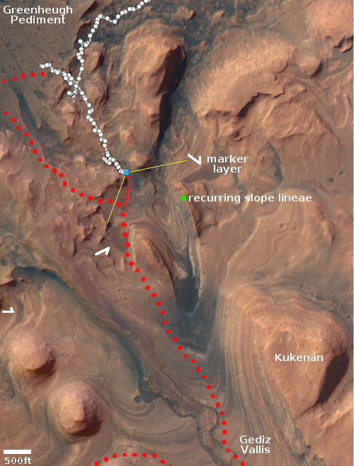
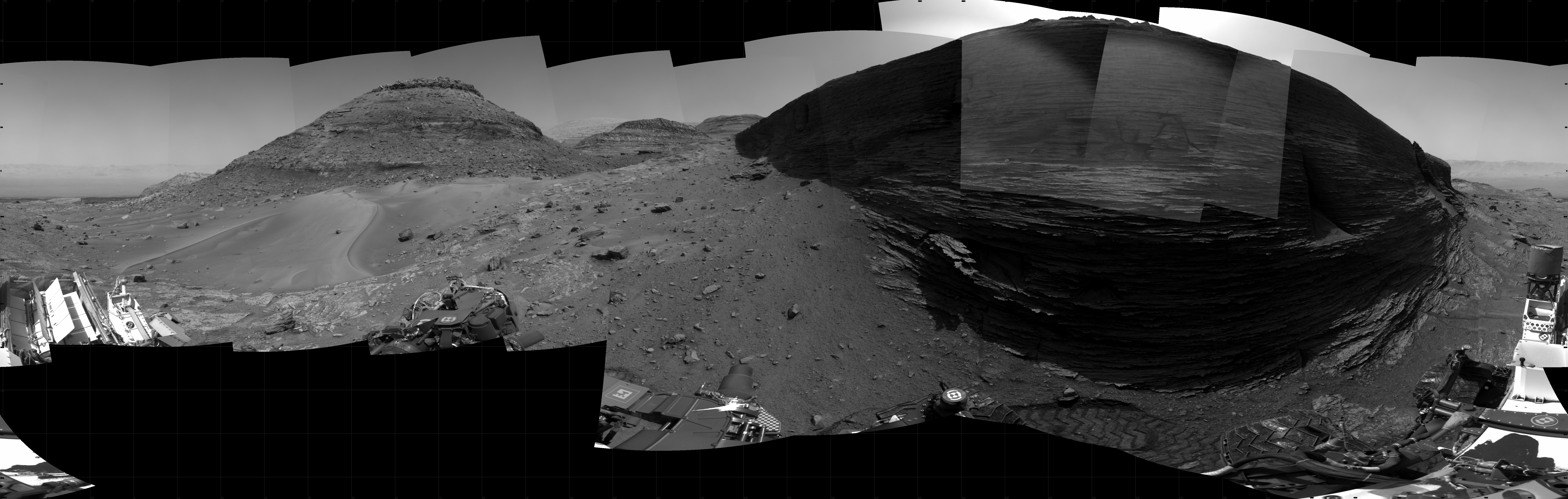
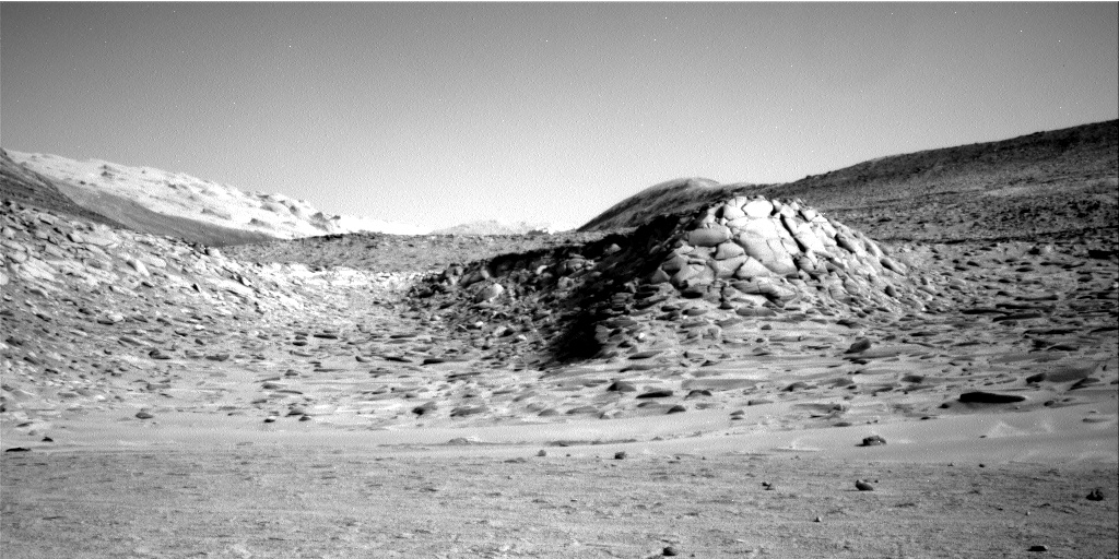
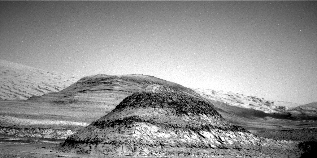
The cool image above was taken on January 31, 2023 by the left navigation camera on the Mars rover Curiosity. The red dotted line indicates roughly the planned route forward for the rover, though as Curiosity gets closer to that hill the terrain is looking increasingly difficult. The white box in the panorama below, taken two weeks earlier when the rover was about five hundred feet away, indicates the area covered by this picture. Since then Curiosity has traveled about 200 feet closer.
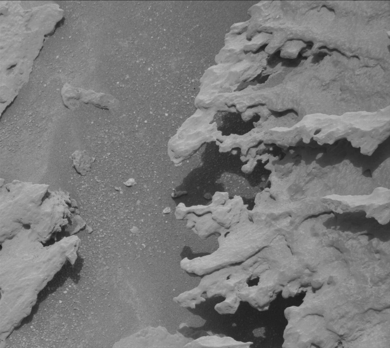
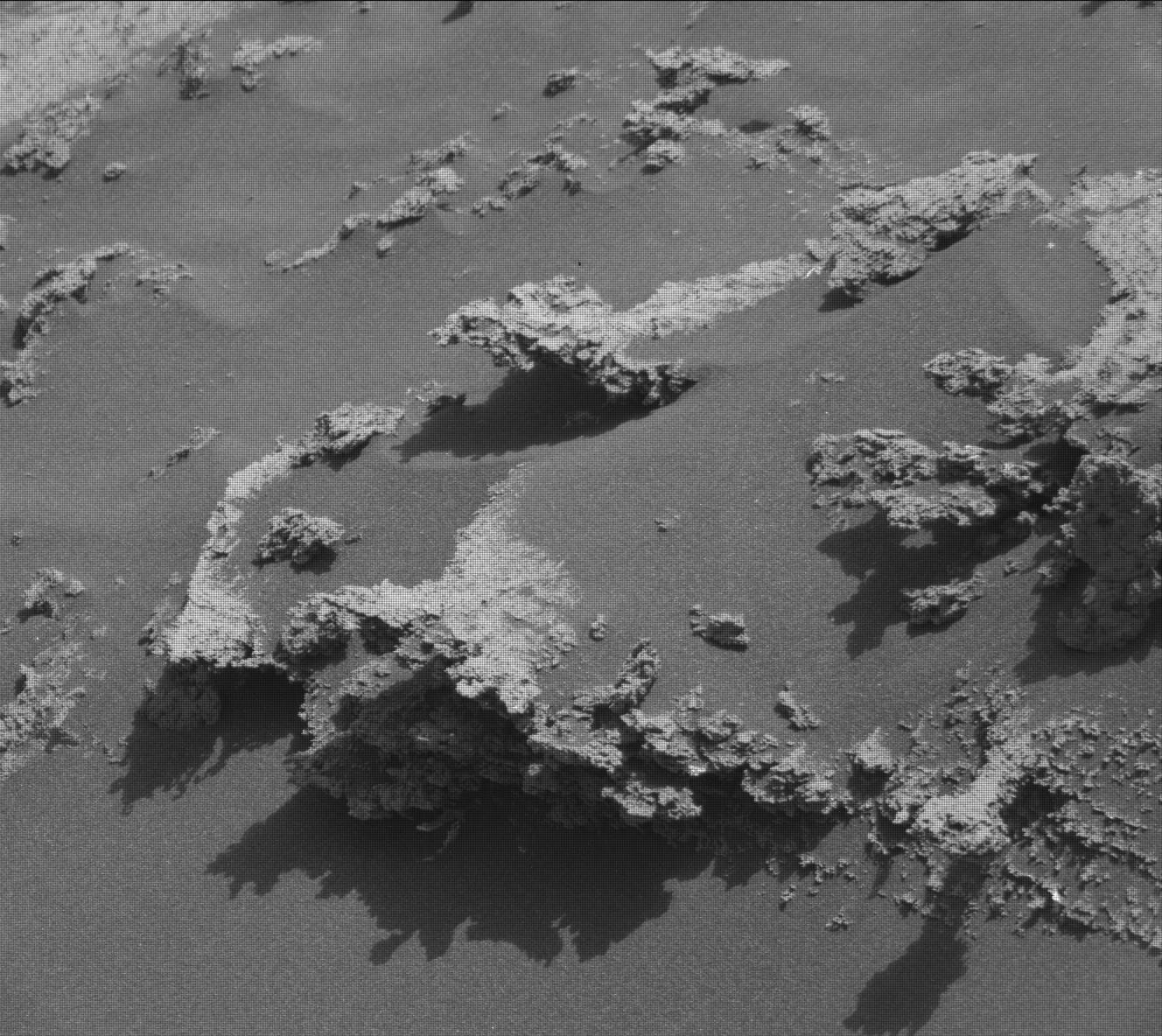
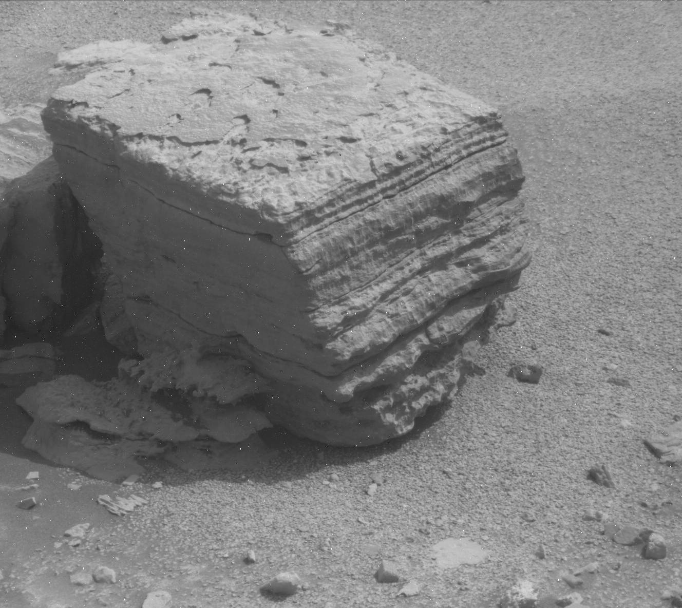
I post this picture specifically because of the small hill to the right of that path. Probably no more than fifty feet high, its entire surface appears cloaked by a pile of large, pillow-like pavement stones, almost as if the ground below had been washed away so that the massive top layer fell downward over time. Later, wind erosion over eons smoothed the rough edges of those massive blocks, giving them their cushion-like shapes.
This is strange geology. You might see such strange geology on Earth, but rarely. On Mars however strange geology appears increasingly common.
Moreover, to get a 3D sense of this terrain, load into your browser (on separate tabs) the full images of this hill, taken by Curiosity’s right and left navigation cameras (here and here). If you switch back and forth quickly between those tabs, you will see the slight shift in position between the two cameras, and be able to perceive this hill in three dimensions.


