Majestic dunes on Mars
Click for full image.
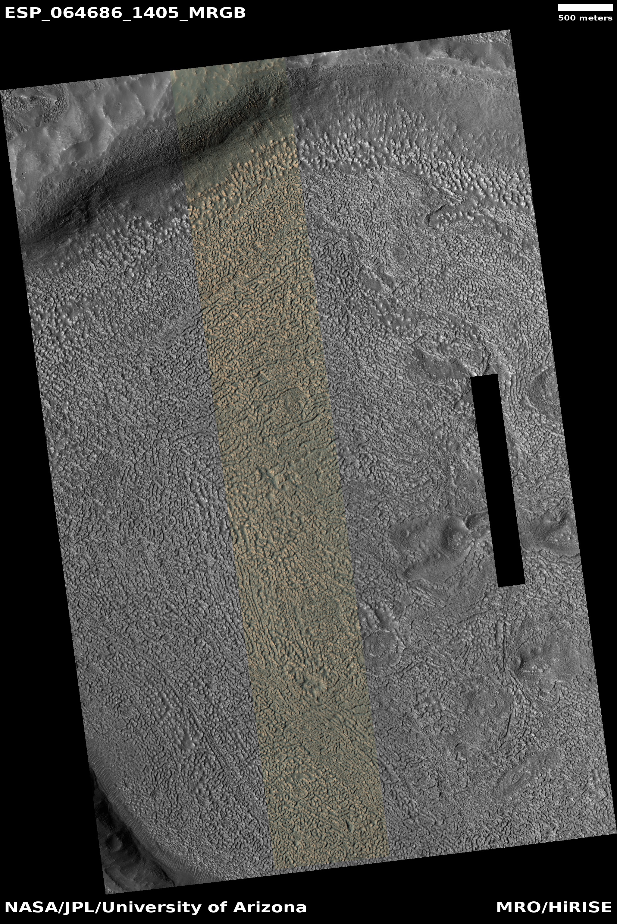
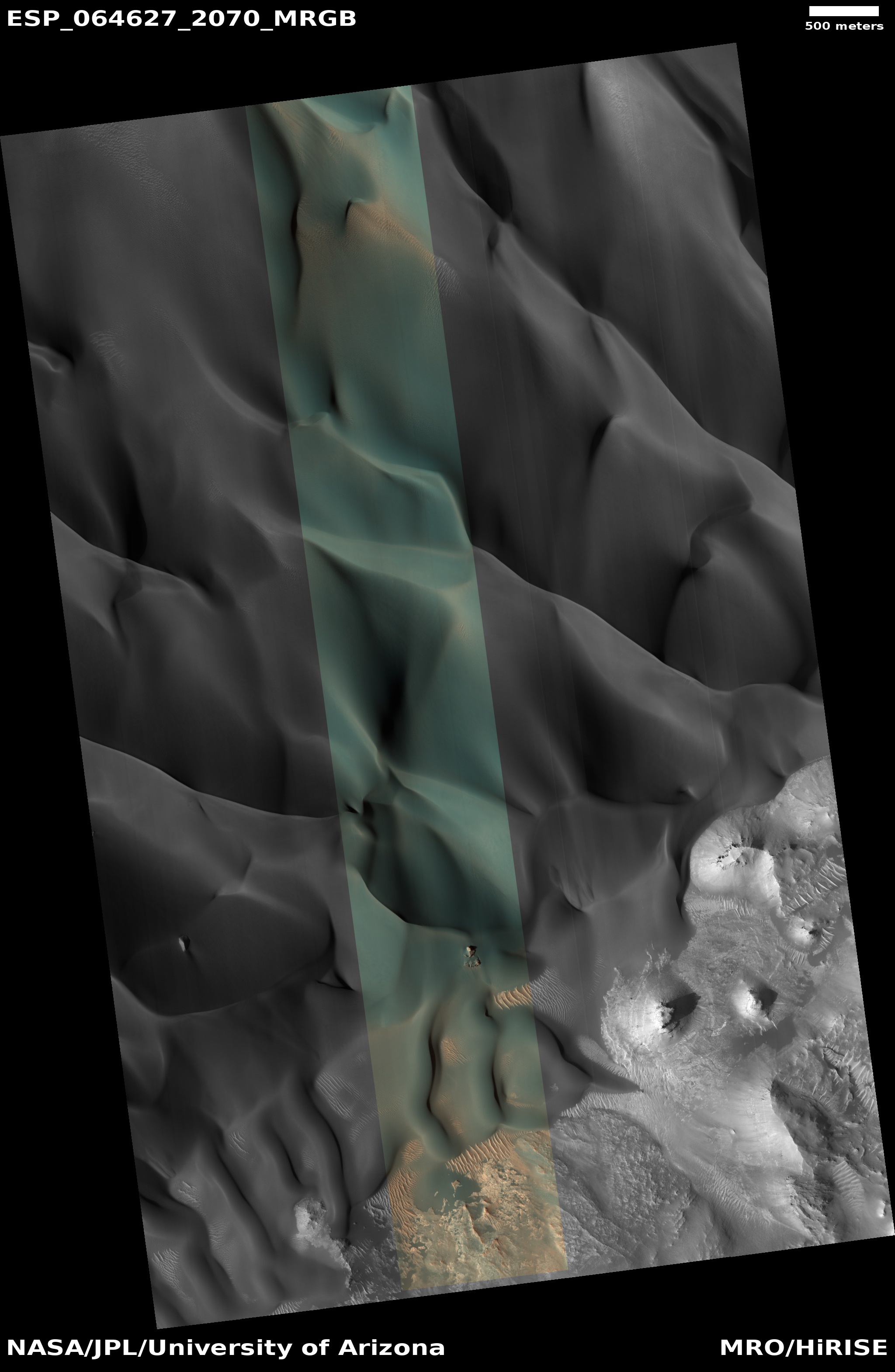
Cool image time! The photo to the right, rotated, cropped, and reduced to post here, was taken by the high resolution camera on Mars Reconnaissance Orbiter on May 10, 2020, and shows the dune field inside a large unnamed sixty-mile-wide crater in the highlands of Mars.
Scientists have been using MRO to monitor this site to track both dust devils and dune changes since at least 2009. In 2009 the focus was on the numerous dust devil tracks, and in fact I posted in March 2020 a comparison of an earlier image with a more recent picture, showing how the earlier tracks had vanished in recent pictures, probably wiped clean by the global dust storm in 2018.
This time however I am less interested in the science, which I covered in detail in that previous post, but in the beauty of these dunes. They are large and majestic, and the color strip tells us that they exhibit striking colors of green, gold, and tan. Is there a place on Earth with dunes of such colors? If so, it is rare.
Make sure you click on the image to see the full resolution photograph. It is even more breath-taking.