
Glaciers in the Phlegra Mountains on Mars
Click for full image.
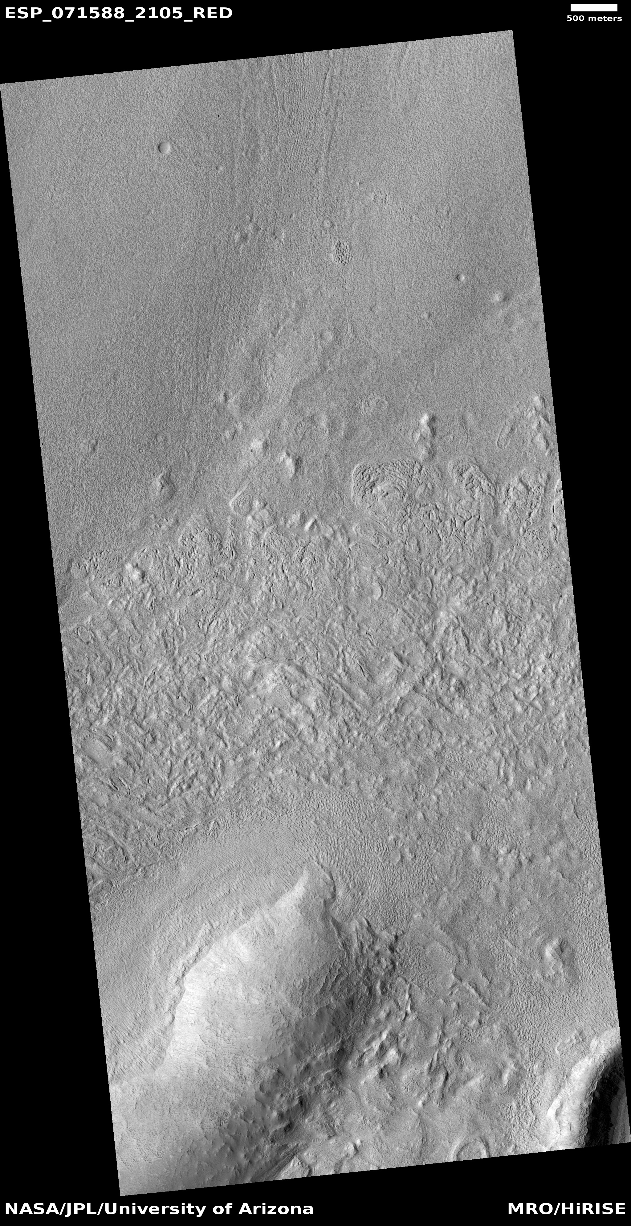
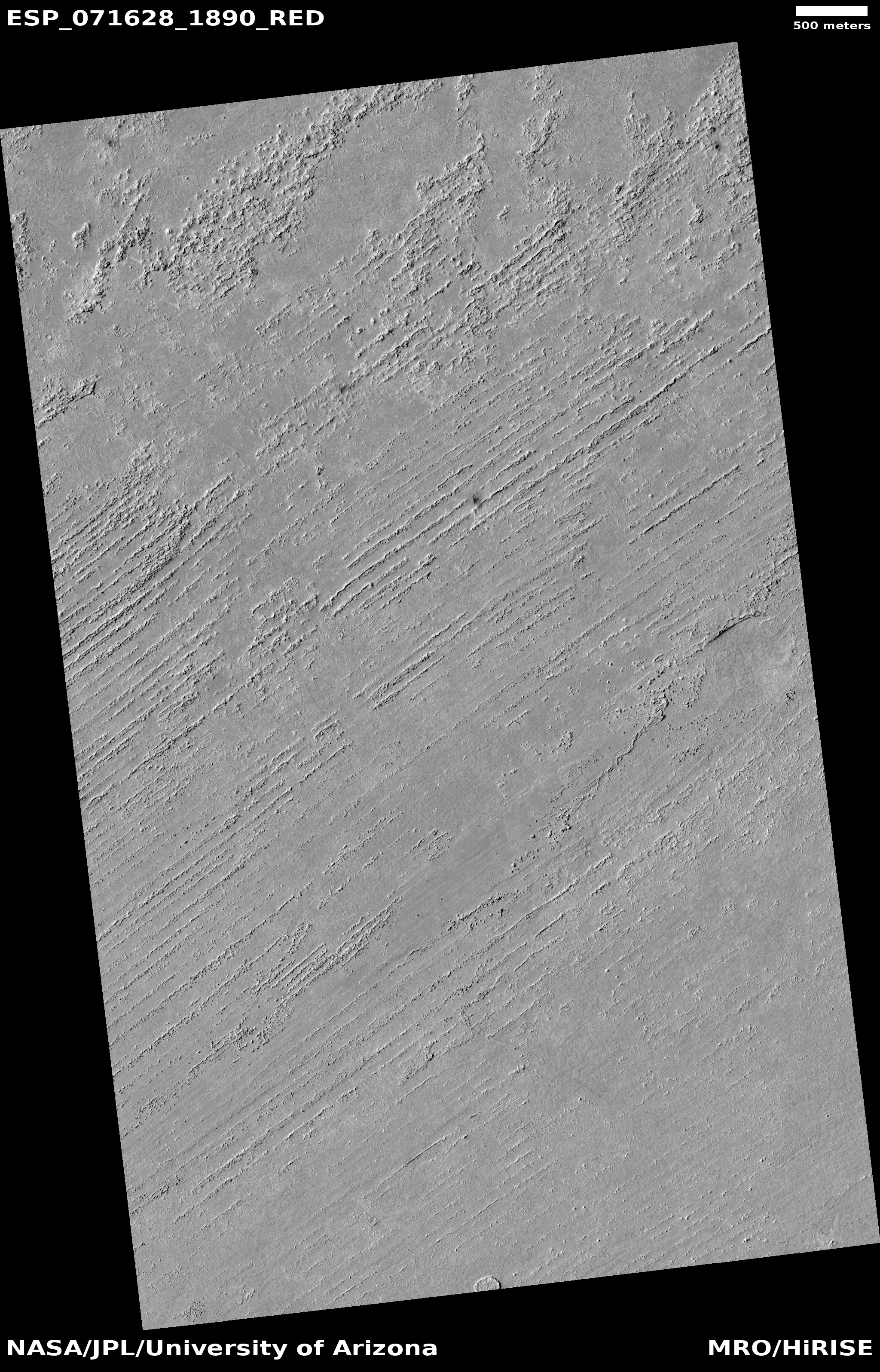
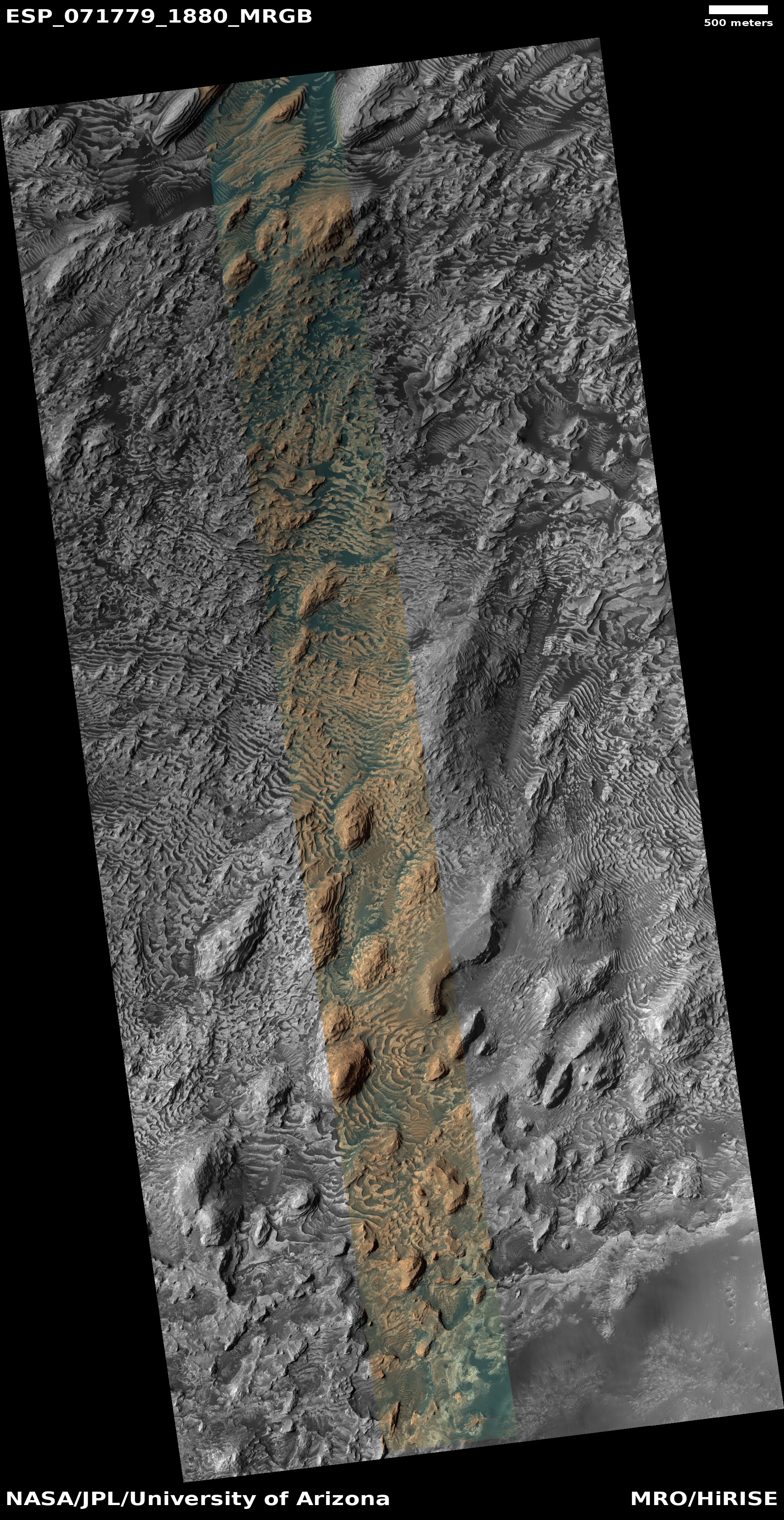
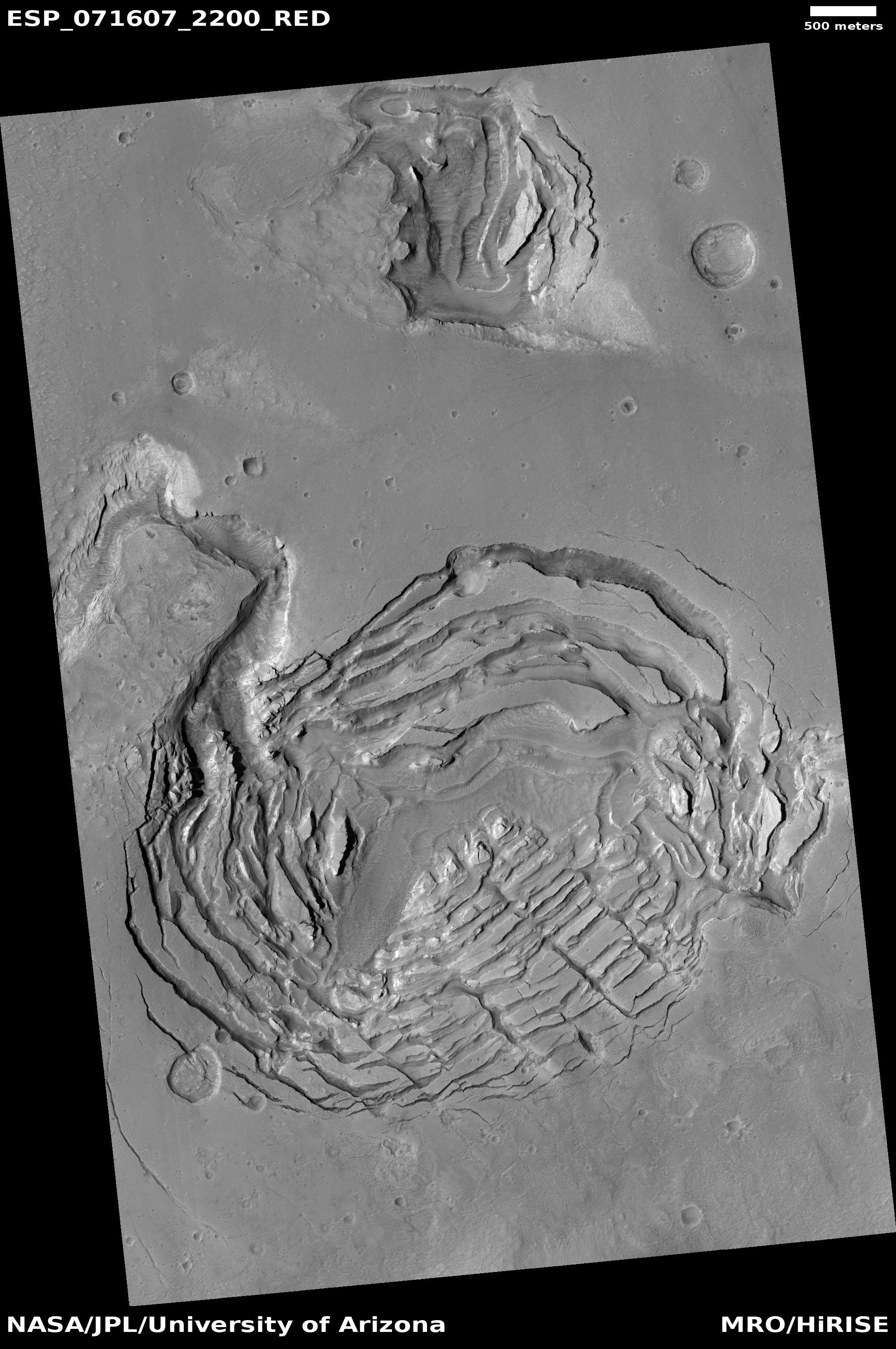
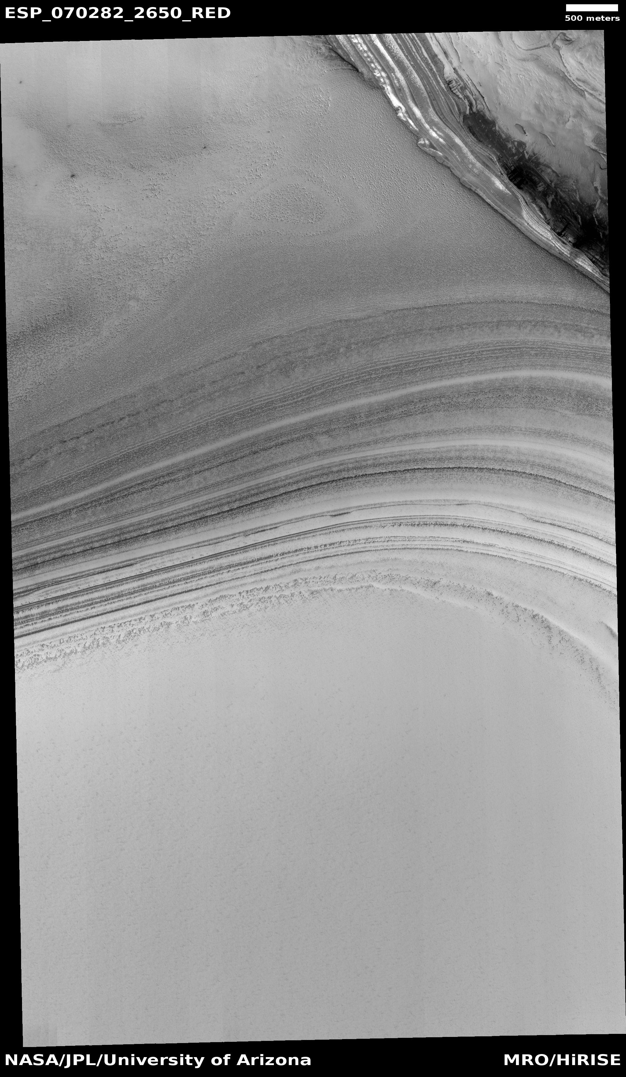
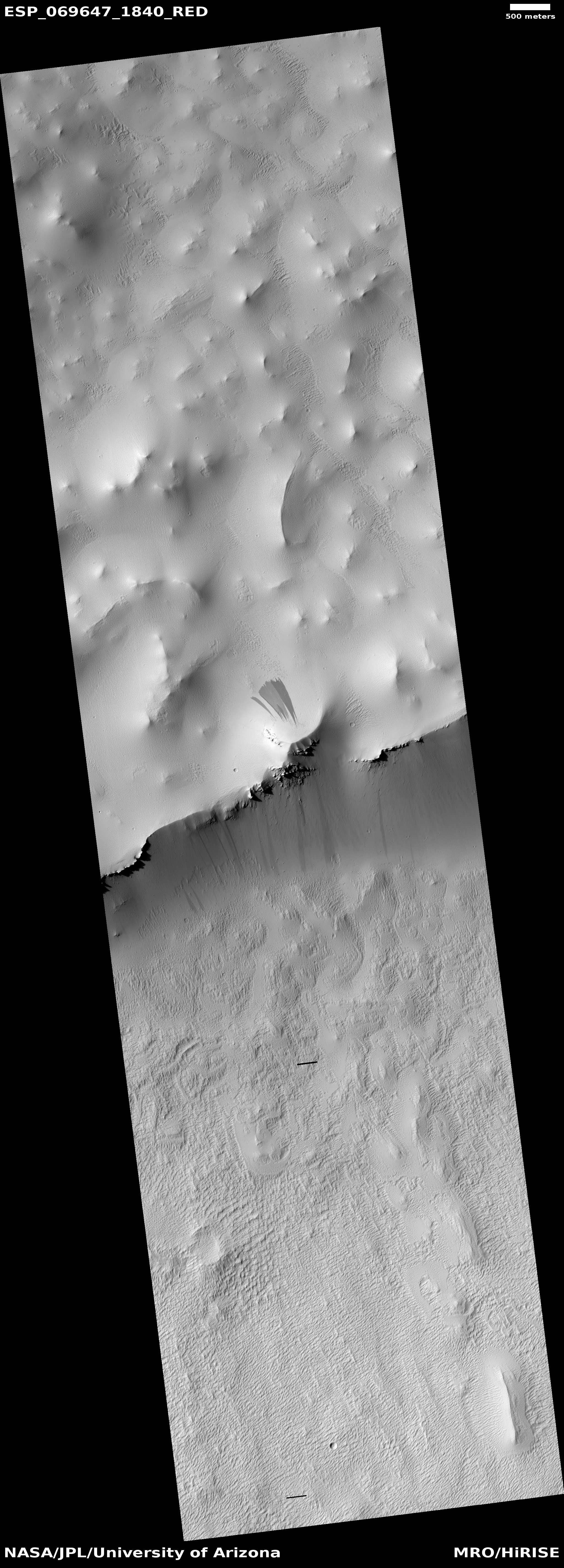
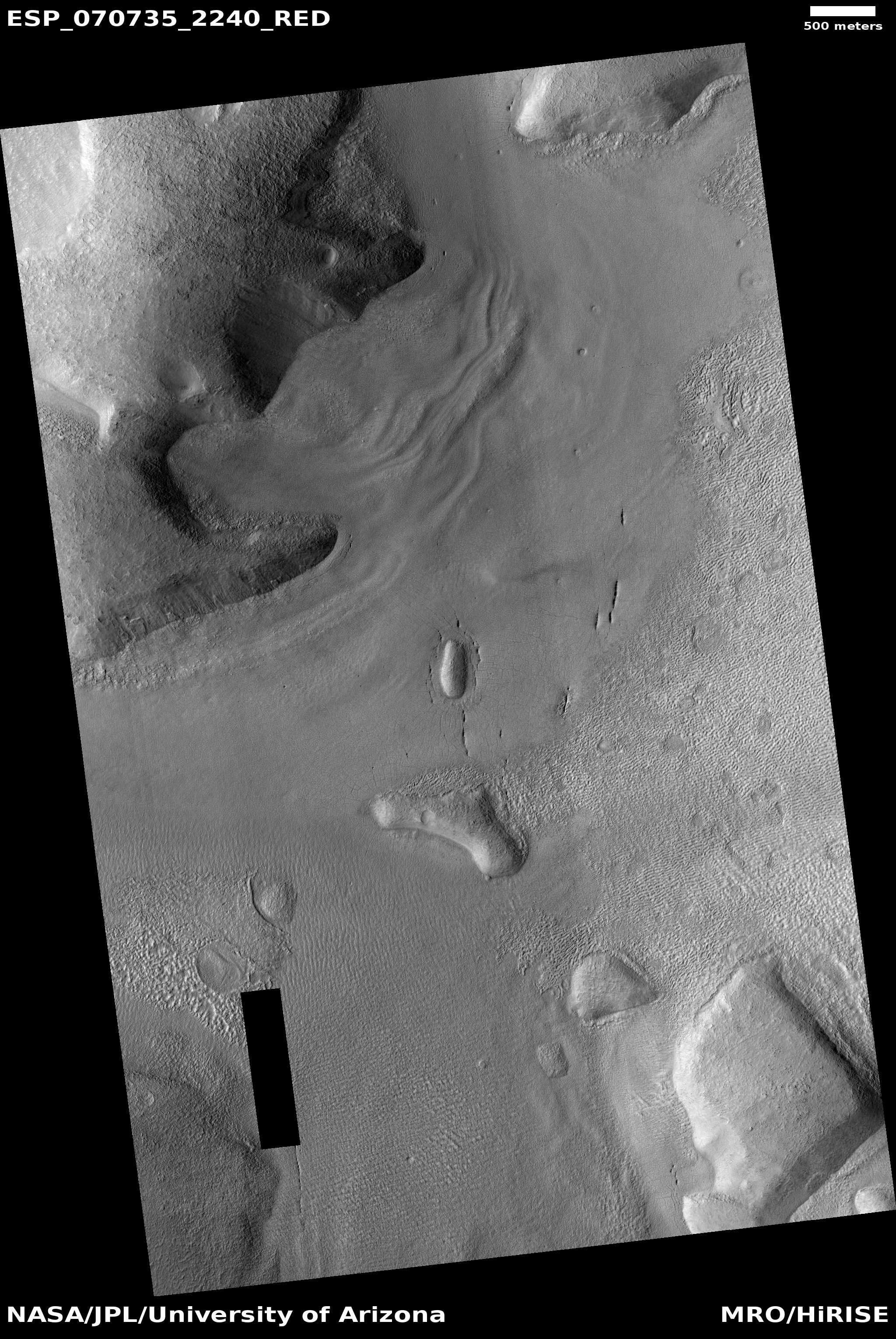
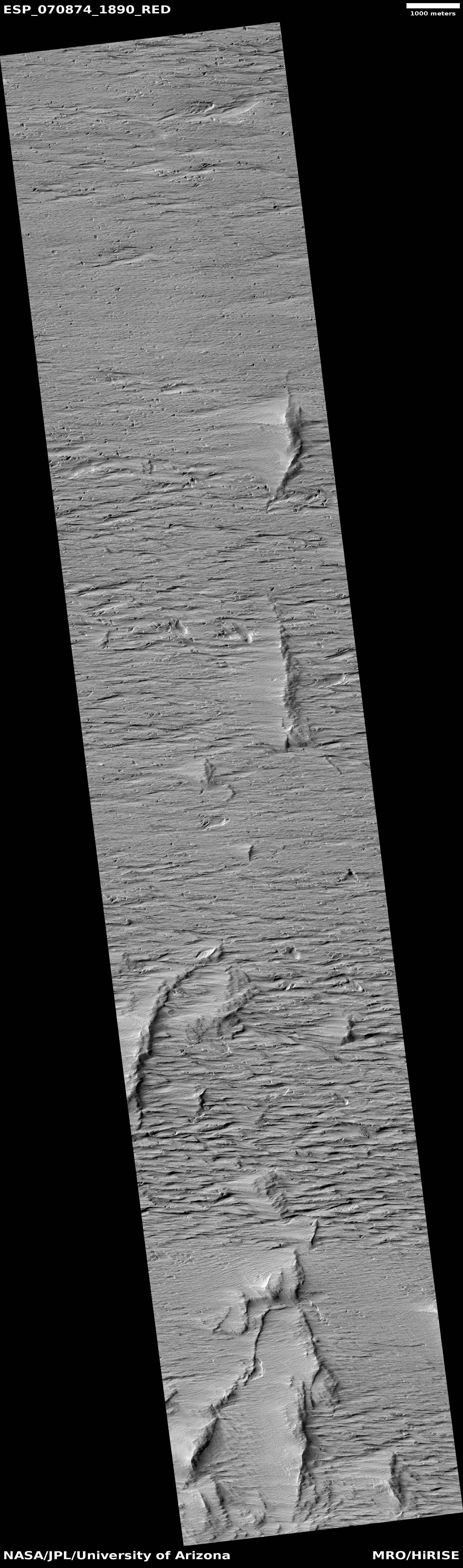
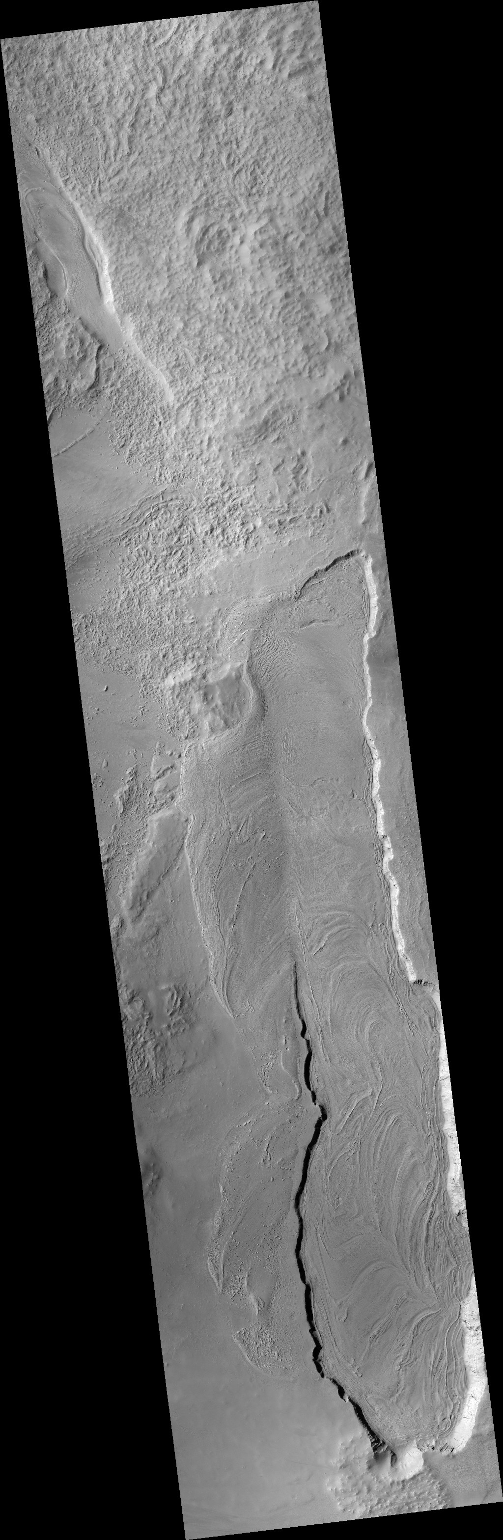
Cool image time! The photo to the right, cropped to post here, is just one of the many hundreds taken by the high resolution camera on Mars Reconnaissance Orbiter (MRO) as well as Europe’s Mars Express orbiter showing the thick icy glacial flows that surround practically every mountain or hill in the Phlegra mountains of Mars.
This picture was taken on November 3, 2021, and shows the eroding foot of an eroding glacial flow coming down from a small hill in a southeastern part of these mountains dubbed Phlegra Dorsa. The downward grade is to the north.
At 30 degrees north latitude it is not surprising these glacial flows are eroding, as they are at the southernmost limit of the mid-latitudes bands where such glaciers are found. Closer to the equator scientists have yet to find much evidence of ice.
The repeating arcs at the foot of this glacier suggest that it pushed downward in cycles, with each later cycle traveling a shorter distance. This supposition makes sense, considering scientists think the ebb and flow of these Martian glaciers has been determined by the cyclical changes in the planet’s rotational tilt.
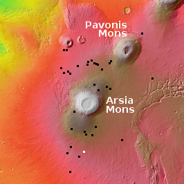
The overview map below not only gives the context, it shows this location relative to the candidate landing sites for SpaceX’s Starship spacecraft.
» Read more


