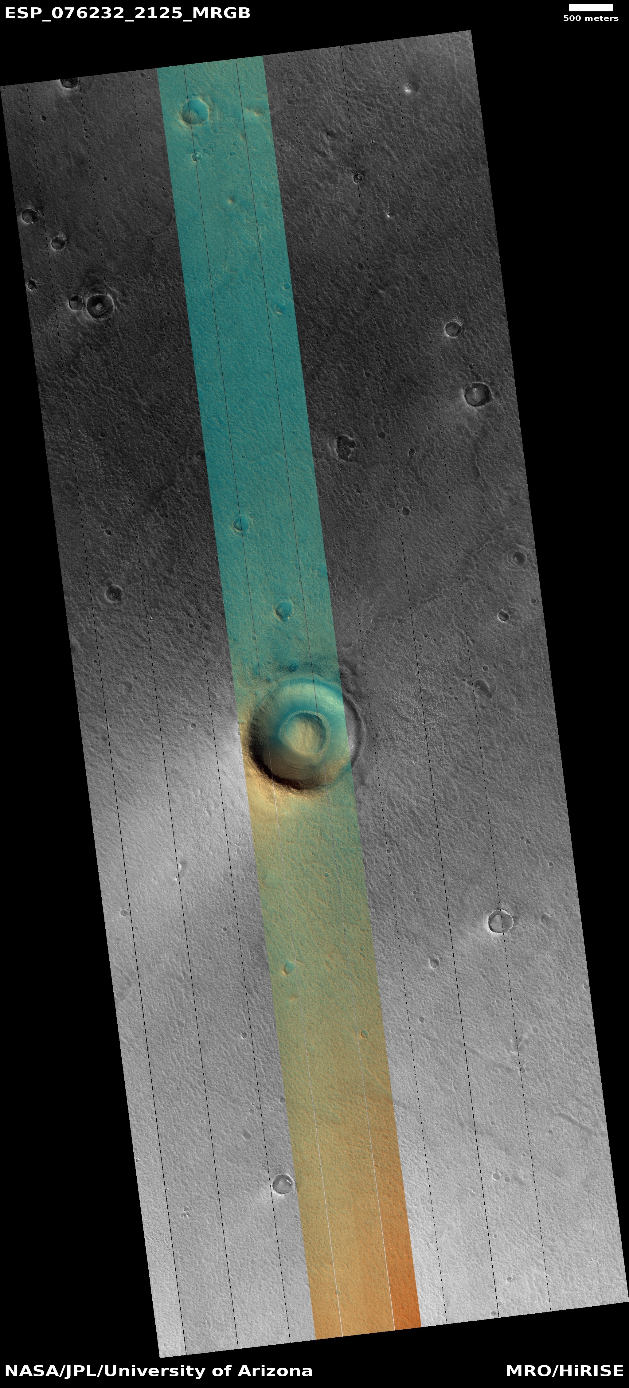
Click for full image.
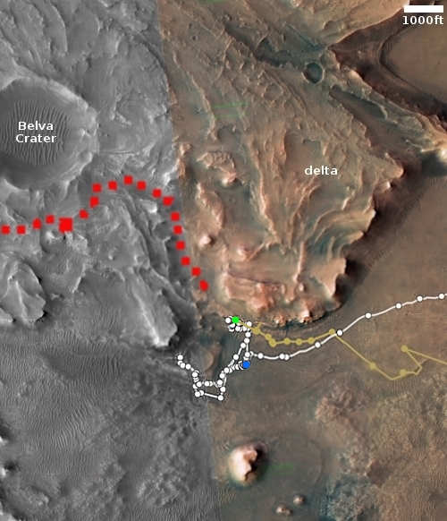
Click for interactive map.
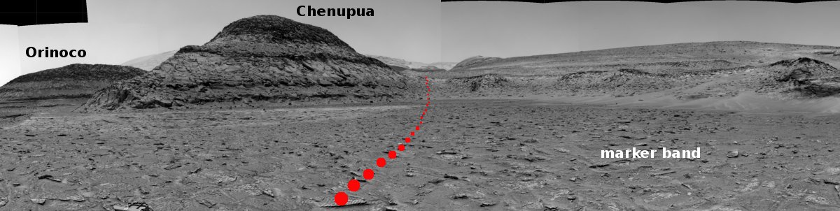
Curiosity’s exploration of the foothills of Mount Sharp continues. The panorama above, cropped, reduced, and annotated to post here, was taken on January 17, 2023 by the rover’s right navigation camera. It looks forward across the flat marker band terrain that the rover has been studying for the past few weeks.
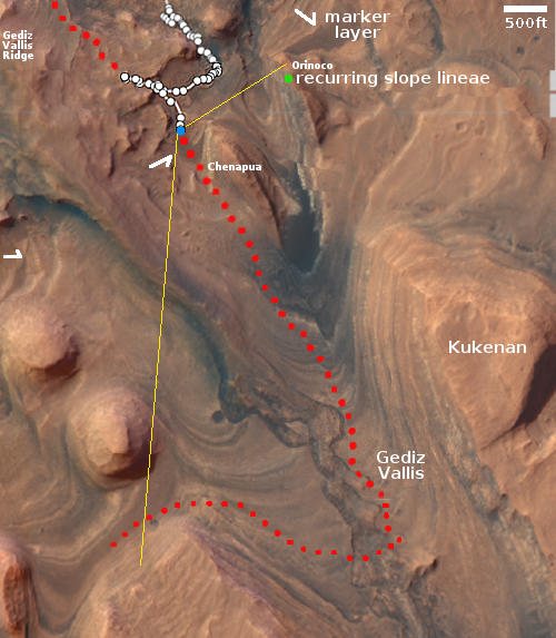
From orbit, this marker band appears very smooth and flat, and is found in many places on the flanks of Mount Sharp, always at about the same elevation. The arrows in the overview map to the right mark several places near Curiosity where the band is evident. The blue dot marks Curiosity’s present location, the red dotted line its planned route, and the yellow lines indicate the approximate area covered by the panorama above. The distance across the marker band to the uphill slope is about 500 feet.
Now that Curiosity is on the marker band, it no longer looks smooth. Instead, it is a flat plain of many uneven paving stones interspersed with dust. While not as rough as the Greenheugh Pediment, which Curiosity had to retreat from because it was too hard on the rover’s wheels, the marker band is hardly the smooth soft terrain implied by the orbital images.
These paving stones have also proven difficult to drill into, with Curiosity’s drill already failing twice previously because the rock was too hard. That hardness should not be a surprise, however, as this layer’s flatness in many places shows its resistance to erosion.
As it crosses this wide section of the marker band the science team will obviously be looking for more candidate drill sites. Sooner or later one should work.