
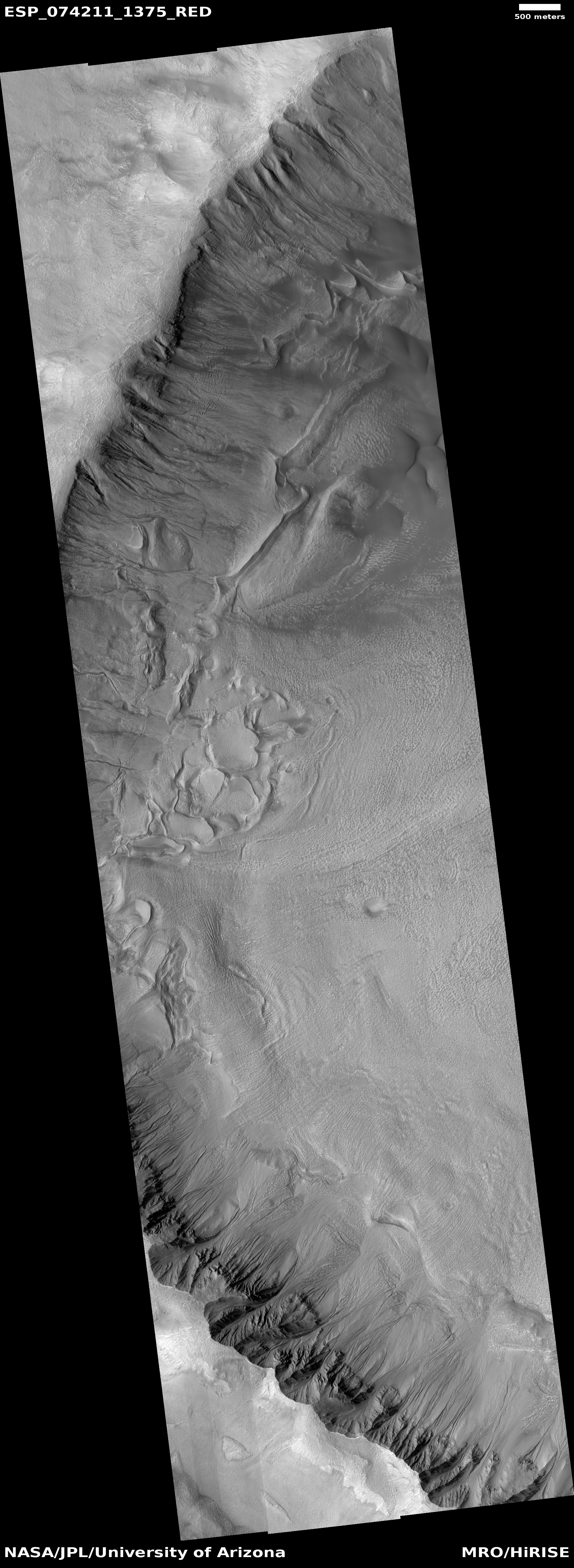
An icy hollow on Mars
Click for full image.
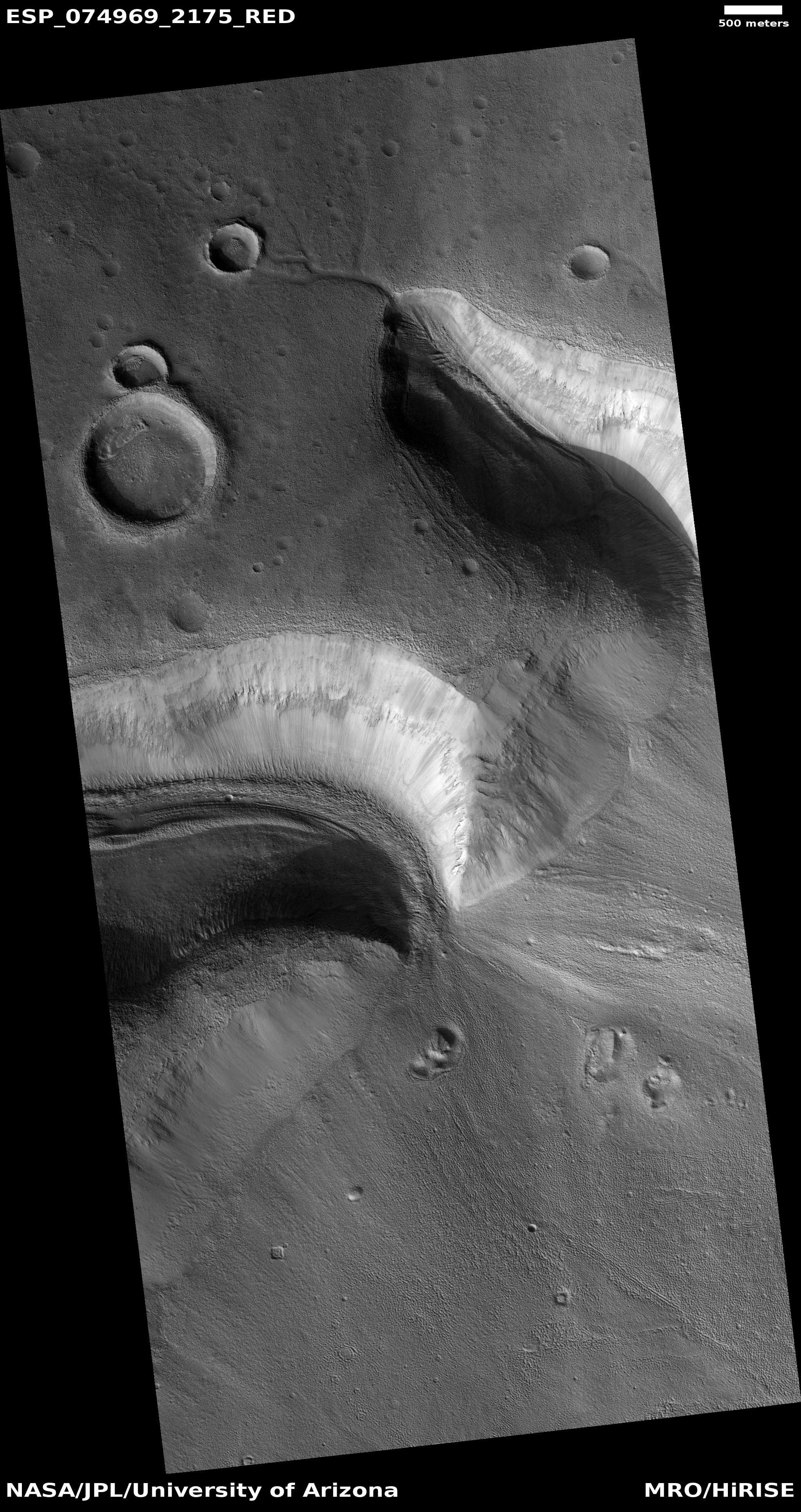
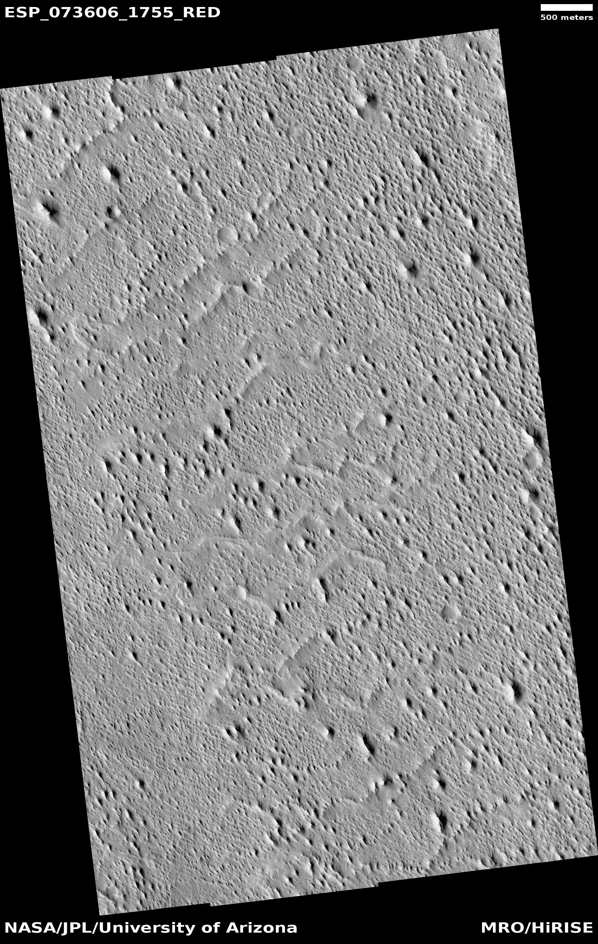
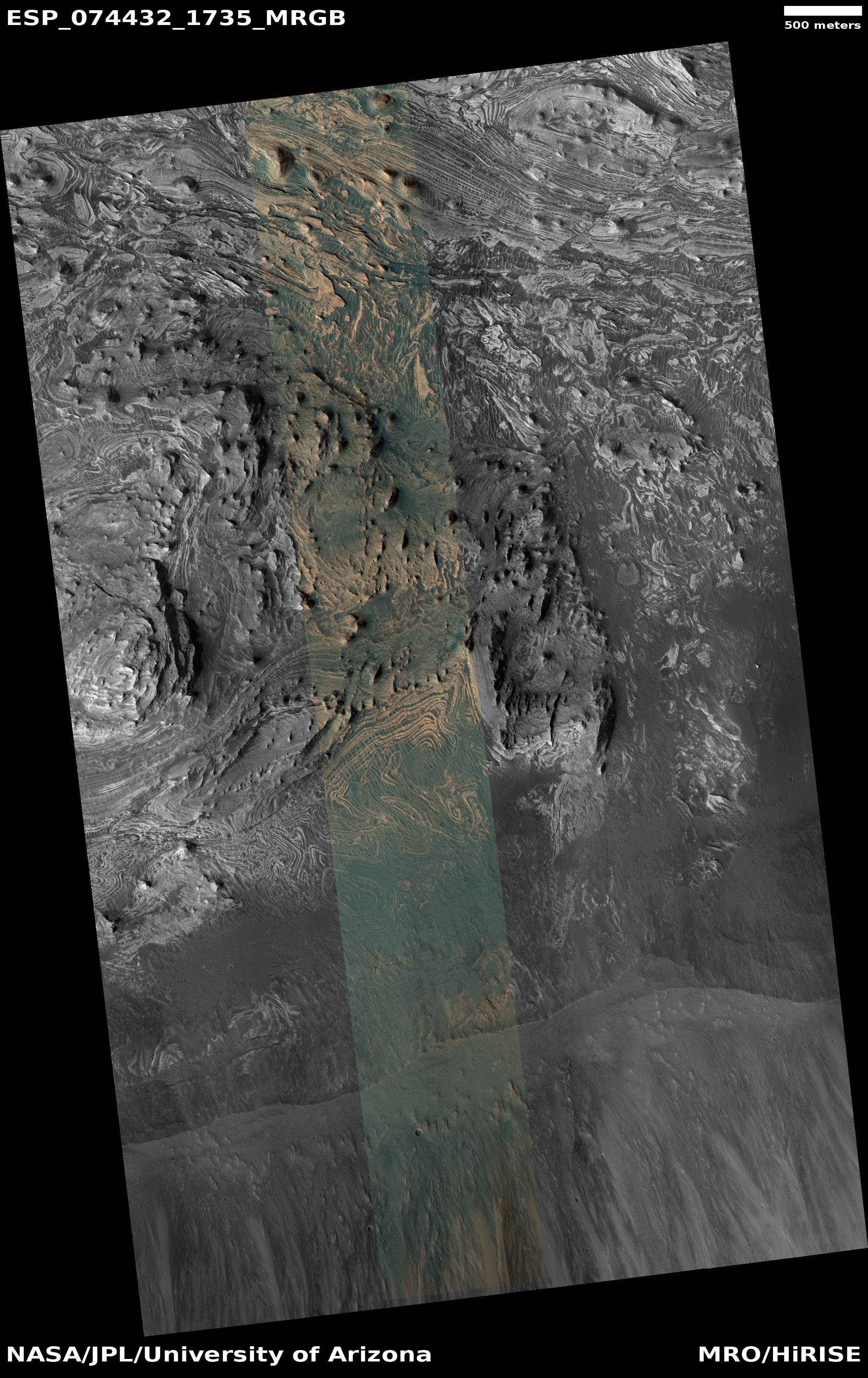
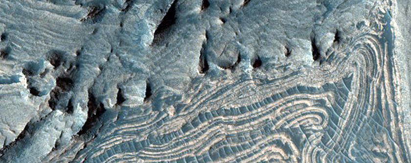
Cool image time! The photo to the right, cropped, reduced, and enhanced to post here, was taken on August 20, 2022 by the high resolution camera on Mars Reconnaissance Orbiter (MRO). It shows a somewhat typical example of the many ice scarps that scientists have identified in MRO pictures.
Though this is not a hard fast rule, most of the ice scarps so far found tend to have the steep cliff on the pole-facing side, with the scarp very slowly retreating towards the equator. In today’s example, the scarp where an ice layer in the cliff wall has been identified is indicated by the white arrow, though three sides of the hollow, on the east, north, and west sides, could all also have exposed ice.
Nor is that the only likely ice at this location at 56 degrees south latitude. The stippled plain surrounding the hollow clearly looks like an eroded ice layer, likely covered with a thin protective coat of dust to protect if from quickly sublimating away. The dark streaks across this surface are likely dust devil tracks.
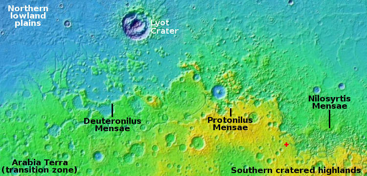
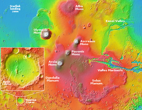
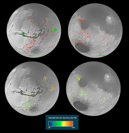
As documented by the global map below, Mars is like Antarctica, a desert with water ice everywhere.
» Read more


