Ice canyons at the Martian north pole
Click for full image.
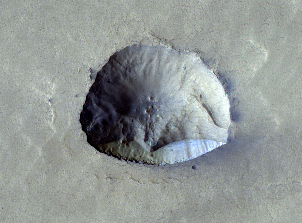
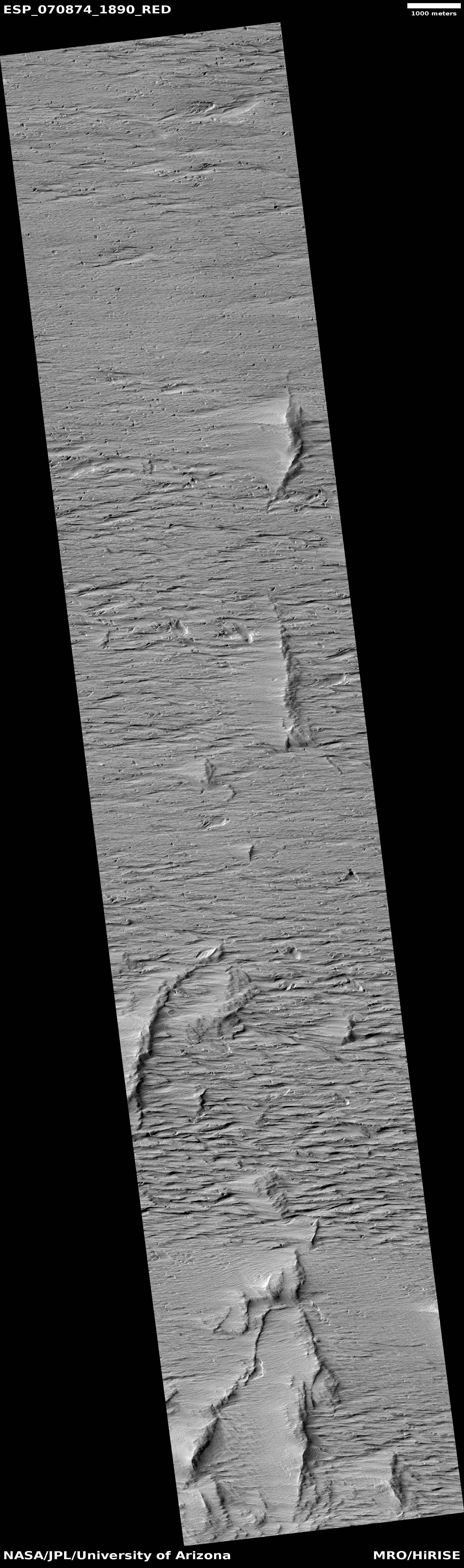
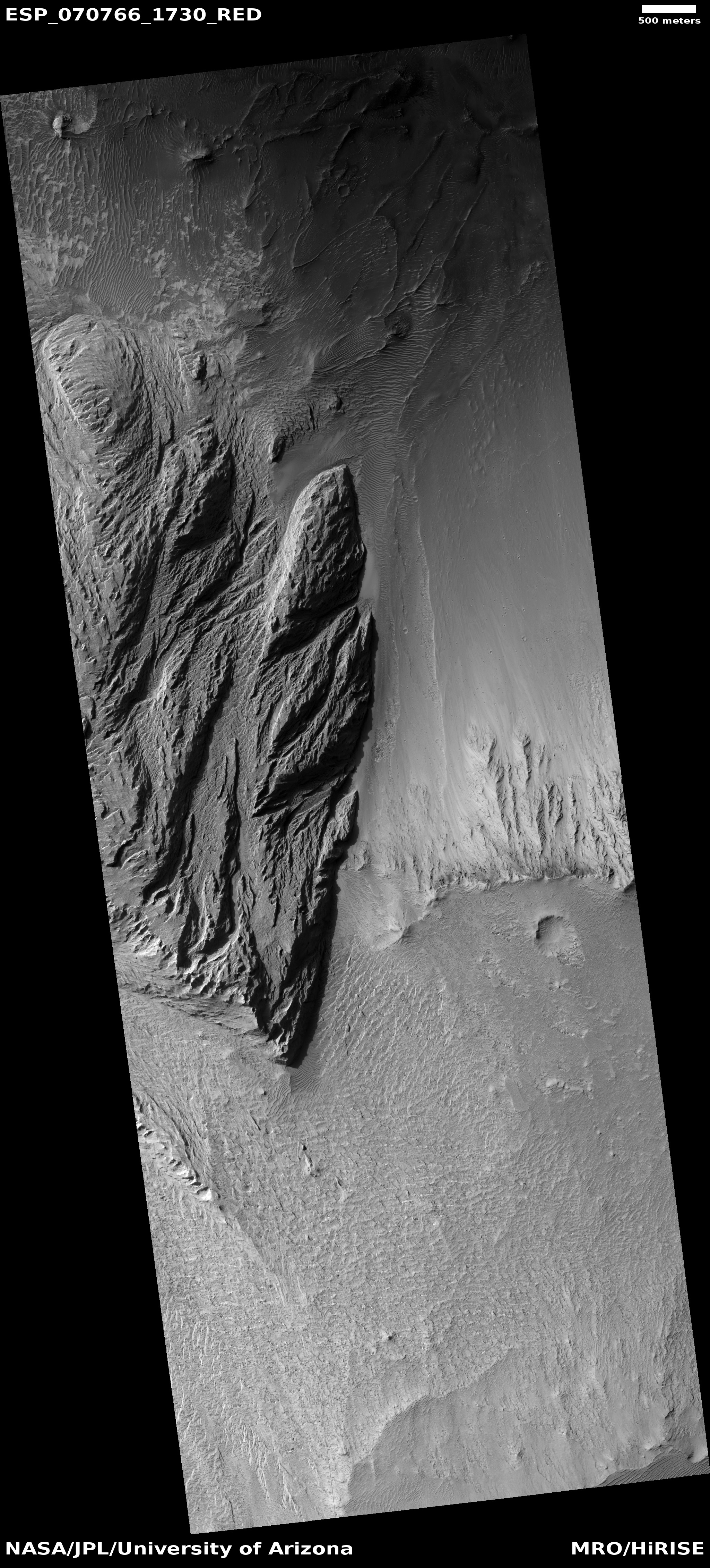
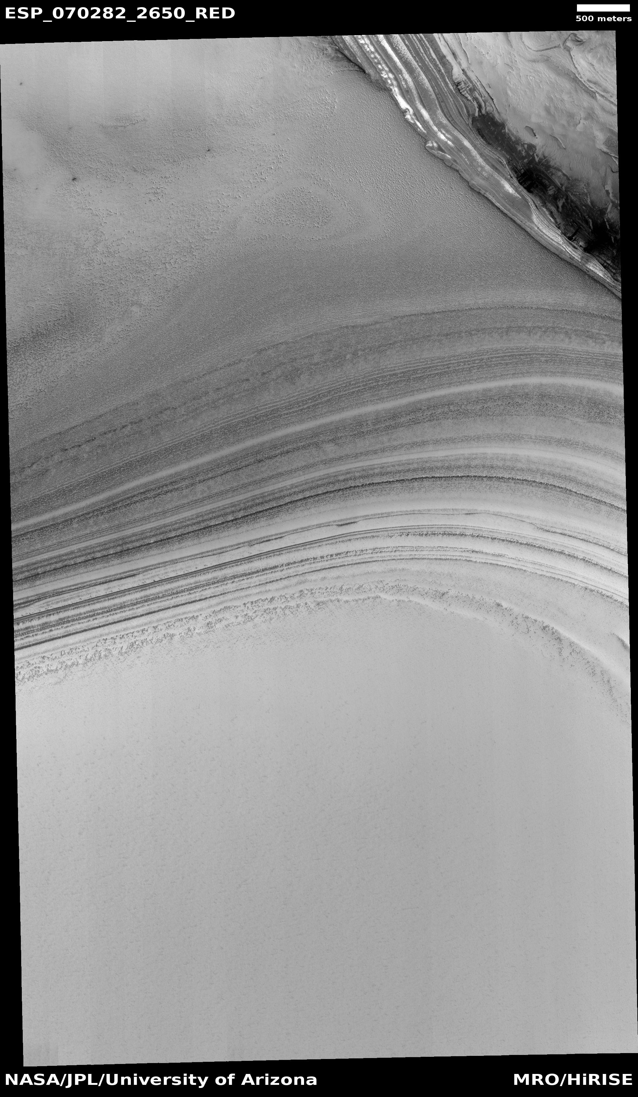
Cool image time! The photo to the right, cropped and reduced to post here, was taken on July 24, 2021 by the high resolution camera of Mars Reconnaissance Orbiter (MRO) and shows one small portion of the edge of Mars’ north pole ice cap.
The many layers in that ice cap are clearly evident, with some darker because they were probably laid down at a time when the Martian atmosphere was more filled with volcanic ash. According to the presently accepted theory, the layers show the cyclical climate patterns of Mars, caused by the large shifts in its obliquity, or the tilt of the planet along its rotational axis, ranging from 11 to 60 degrees. Presently Mars is tilted 25 degrees, similar to Earth’s 23 degrees. The two extremes cause the planet’s water ice to shift back and forth from the mid-latitudes to the poles, causing the layers.
The height of this layered cliff face is probably about 1,500 feet, though that is a very rough estimate. Notice also that this image shows an ice canyon running from the left to the right and flowing into a much larger ice canyon to the right. The top cliff is probably about a third the height of the bottom cliff.
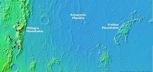
The overview map below shows gives the context, not only in place but also in time.
» Read more