Perseverance spots Phobos

Click for full image.
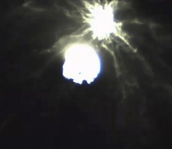
Cool image time! The photo to the right, cropped to post here, was taken on January 12, 2022 by one of the high resolution cameras on the Mars rover Perseverance, and shows the Martian moon Phobos.
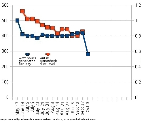
As noted in an update today by Claire Newman, one of the members of the science team,
This provides a measurement, using visible light, of the amount of dust in the nighttime atmosphere, which can be compared to similar measurements made by looking at the sun during the daytime, and to nighttime measurements of dust abundance made in the infrared by MEDA [another Perseverance instrument].
There have been three attempts to land on Phobos, all by the Russians, all of which failed. At present a Japanese mission to Phobos, dubbed Mars Moons eXploration or MMX, is scheduled to launch in 2024. This is a planned sample return mission, and will also include a rover.