
The beginning of chaos on Mars

Click for full image.
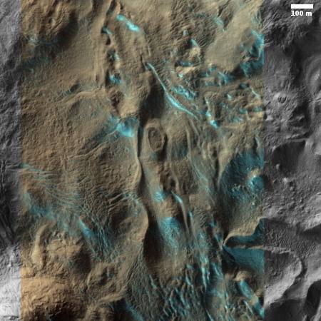
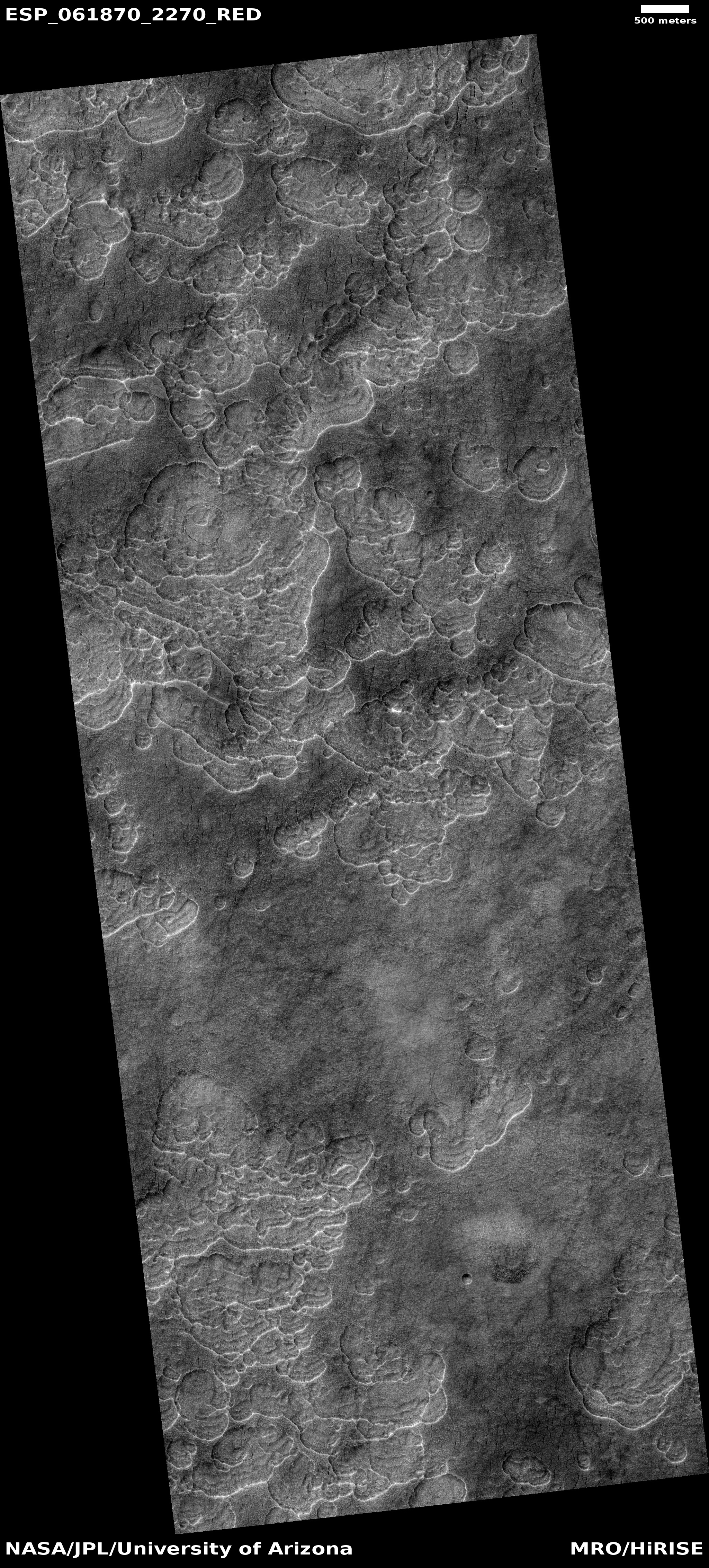
Cool image time! The photo on the right, rotated, cropped, and reduced to post here, was taken by the high resolution camera of Mars Reconnaissance Orbiter (MRO) on October 7, 2019. In one image it encapsulates the process that forms one of the more intriguing and major Martian geological features, dubbed chaos terrain.
Chaos terrain is typically a collection of mesas separated by straight-lined canyons. It is found in many places on Mars, most often in the transition zone between the southern highlands and the northern lowlands where an intermittent ocean might once have existed. It is believed to form by erosion, possibly caused by either flowing water or ice, moving along fault lines. As the erosion widened the faults, they turned into canyons separating closely packed mesas. With time, the canyons widened and the mesas turned into a collection of hills.
This image shows the beginning of this process. It is centered on a fault line running from south to north. In the south all we can see is the fault expressing itself as a very shallow small depression in the plains. As we move north the depression widens and deepens. The material inside the depression near the top of the photo could very well be a buried inactive ice glacier. Several million years ago, when the inclination of Mars was much higher and the mid-latitudes were much colder than the poles, the water ice at the poles was sublimating from the poles to those mid-latitudes where it fell as snow. At that time this glacier was likely active, helping to grind out this canyon.
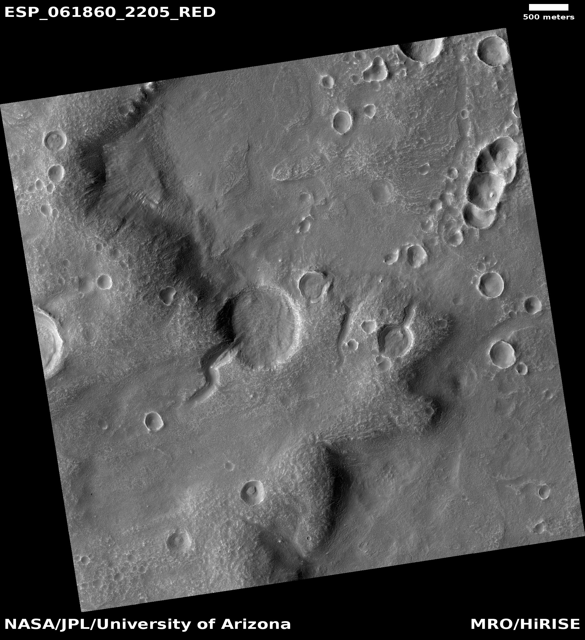
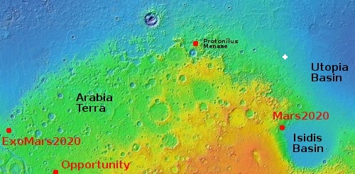
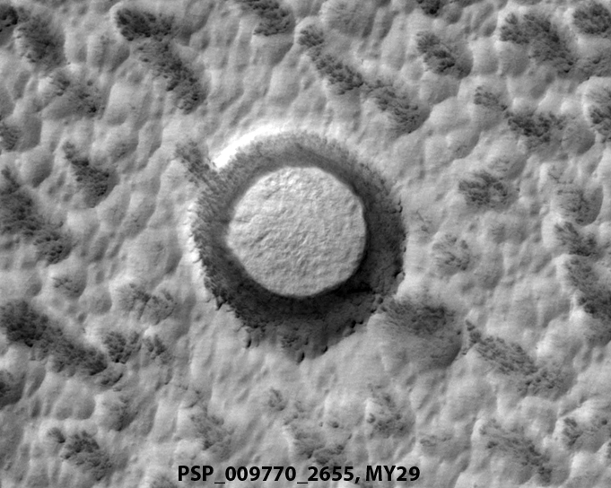
The image was taken at the south border of a chaos region dubbed Nilosytis Mensae, as shown by the overview maps below.
» Read more


