Mars’ seasonally vanishing carbon dioxide polar cap

Buzzell dunes, March 19, 2019
Click for full image.

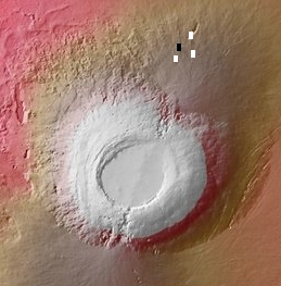
Since the onset of the Martian spring in the northern hemisphere back in March of this year, scientists have been busy using the high resolution camera on Mars Reconnaissance Orbiter (MRO) to monitor the expected sublimation and disappearance of the cap of dry ice that falls as snow to become a winter layer mantling both the more permanent icecap of water 7,000 feet deep as well as the giant dune sand seas that surround that northern icecap.

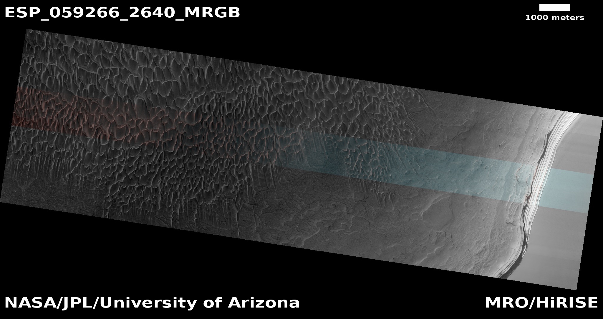
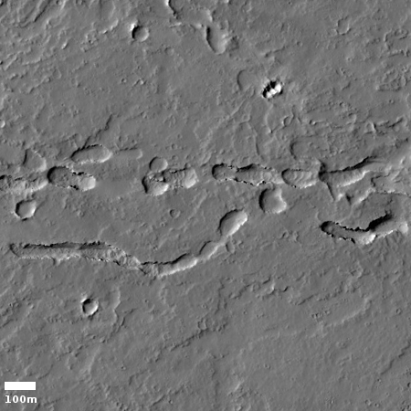
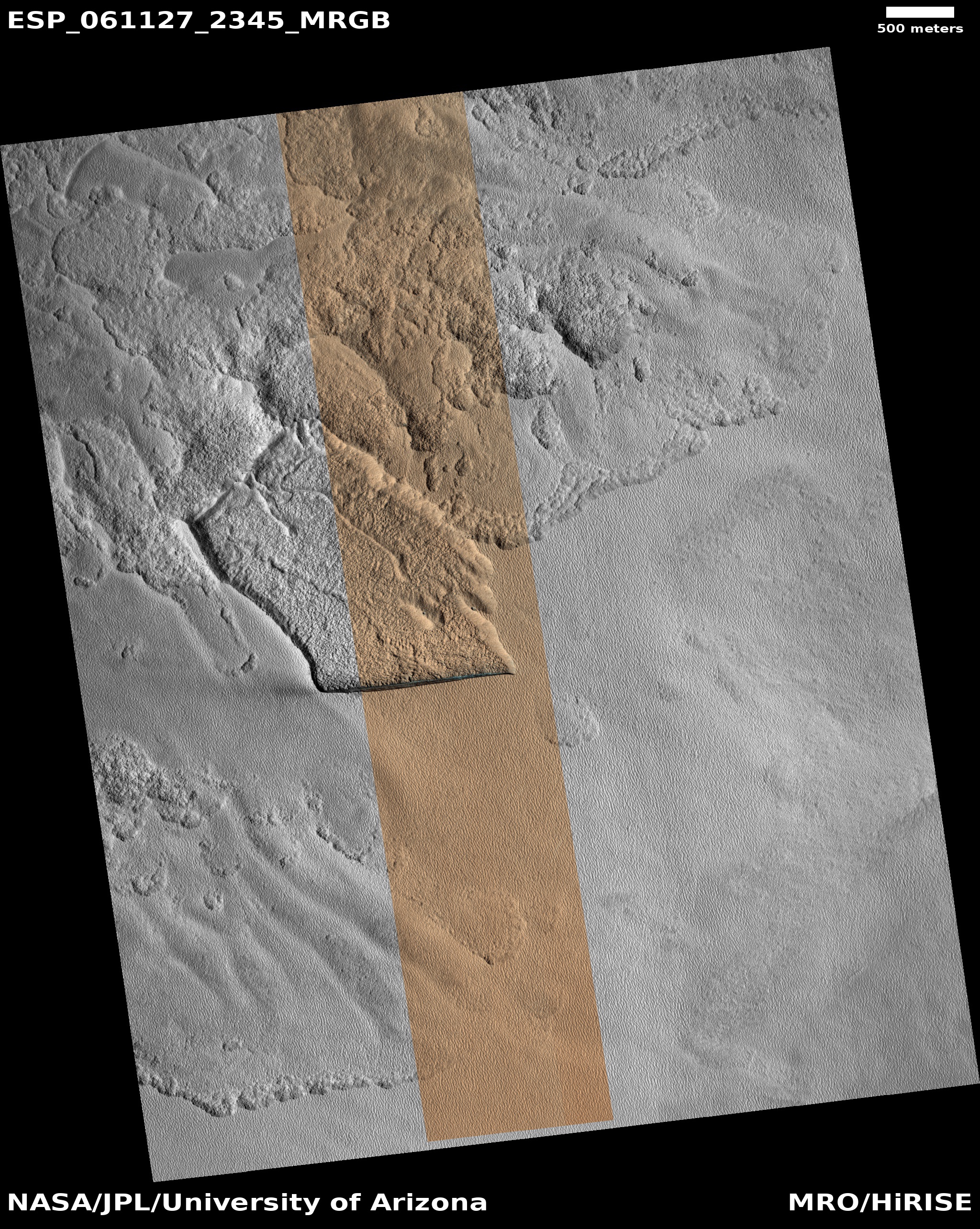
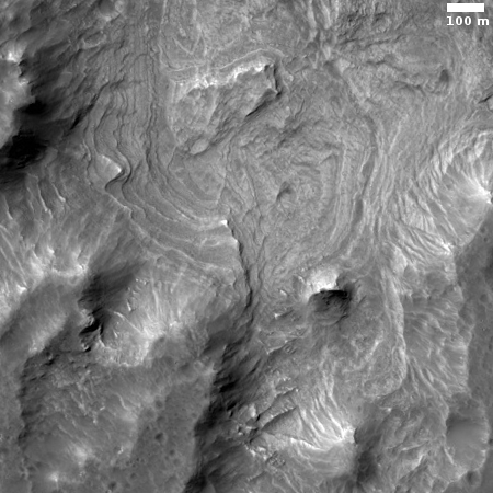
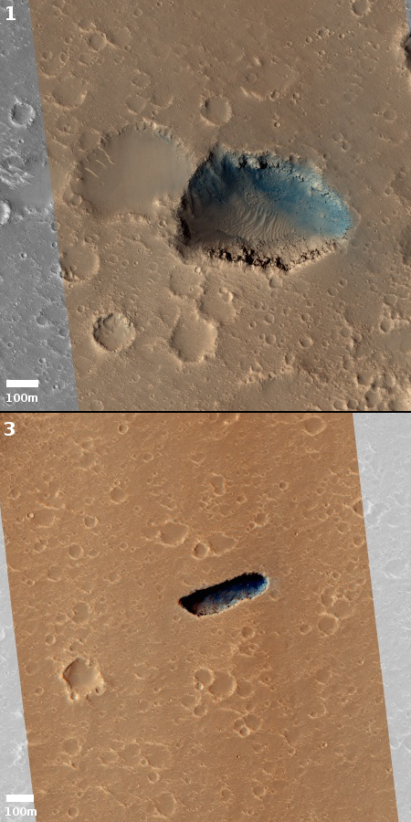
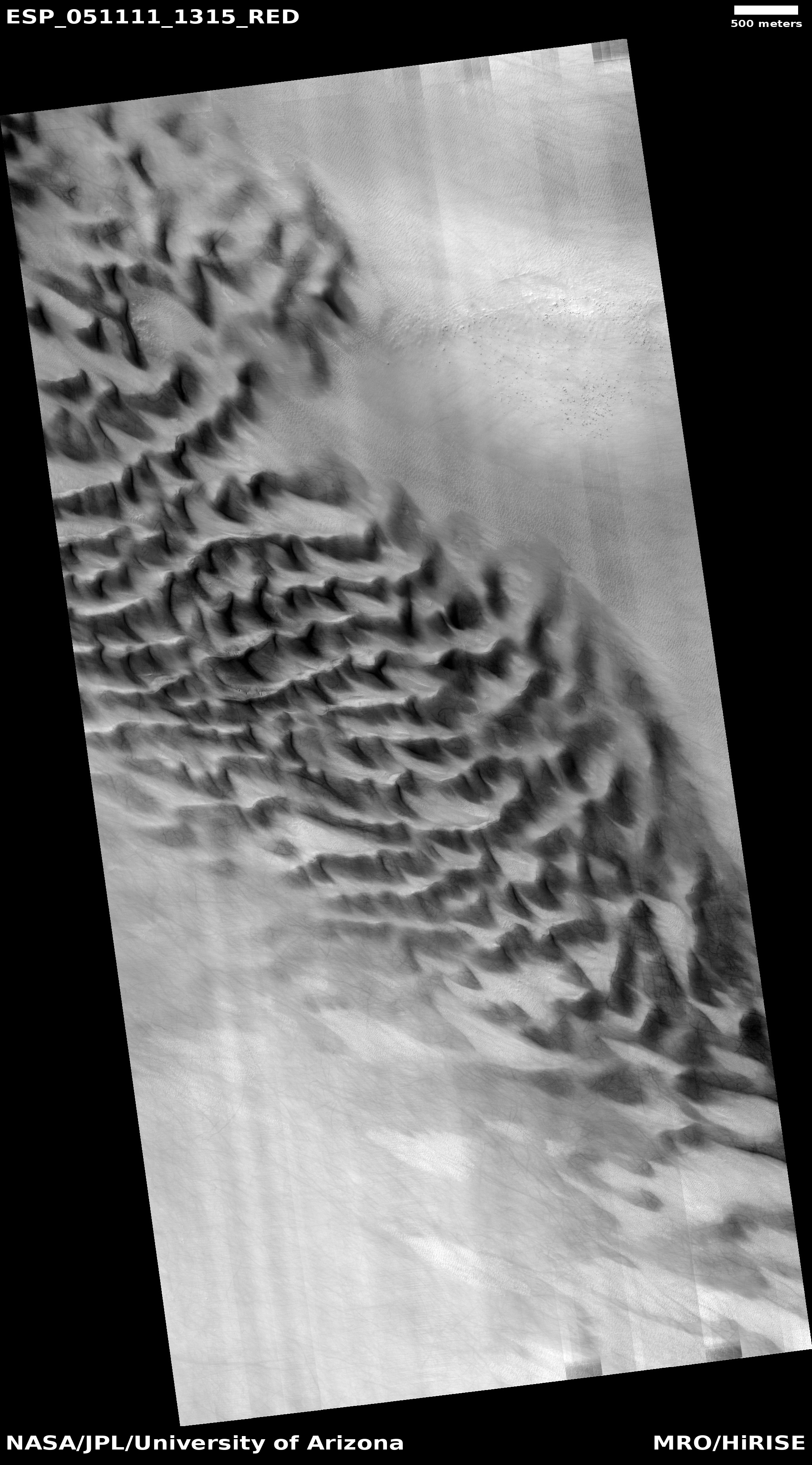
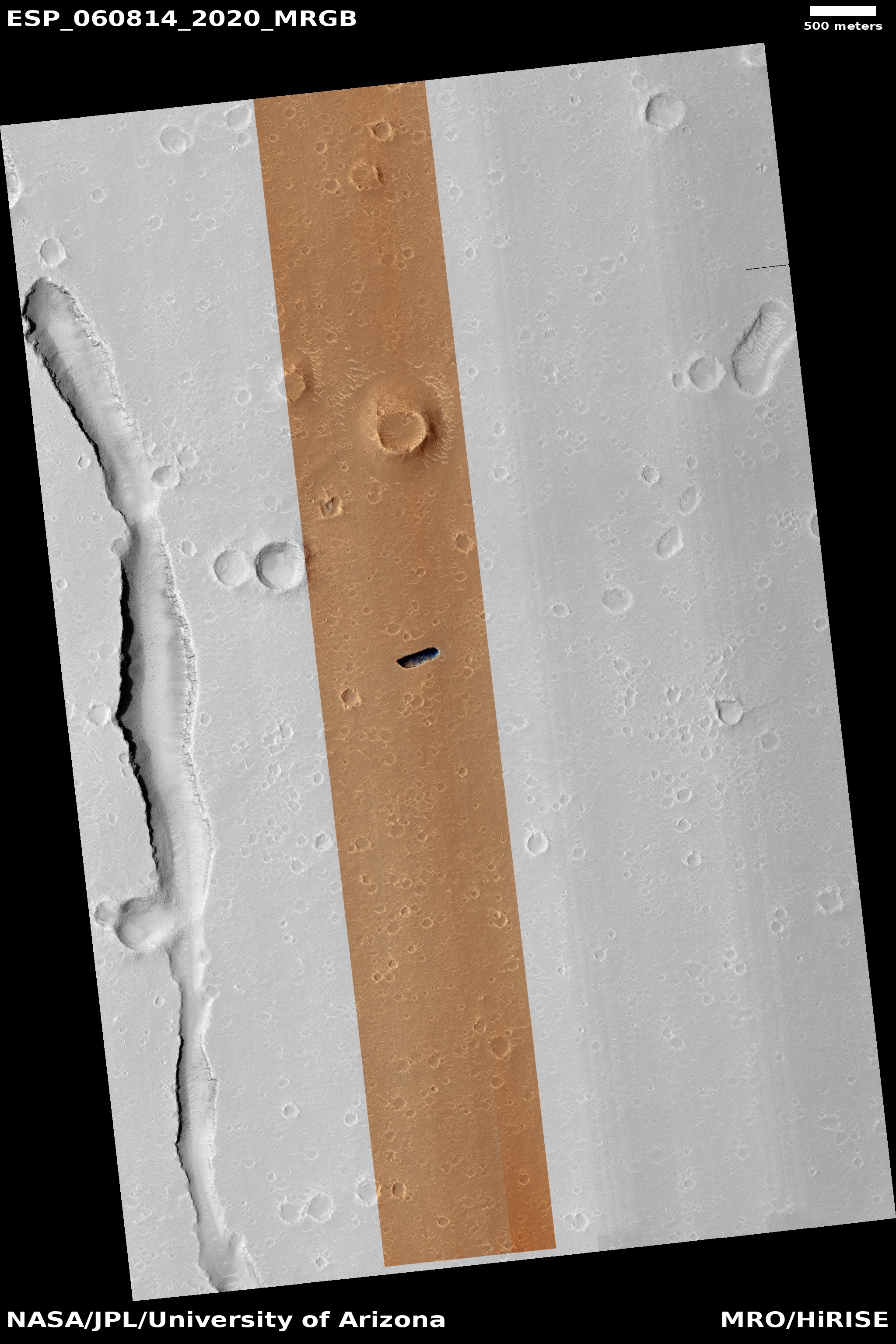
The image on the right was first posted here on Behind the Black on June 6, 2019 as part of a long article describing that northern polar icecap and its annual evolution. It shows a set of dunes that Candice Hansen of the Planetary Science Institute in Arizona, who requested the image, has dubbed “Buzzell.” When that picture was taken in March, the frozen dry ice layer of translucent carbon dioxide still coated the dunes. The image’s darkness is because the Sun has just begun to rise above the horizon at this very high latitude location (84 degrees). The circular feature is likely a buried ancient crater, with the streaks indicating the prevailing wind direction blowing both sand and frost about.

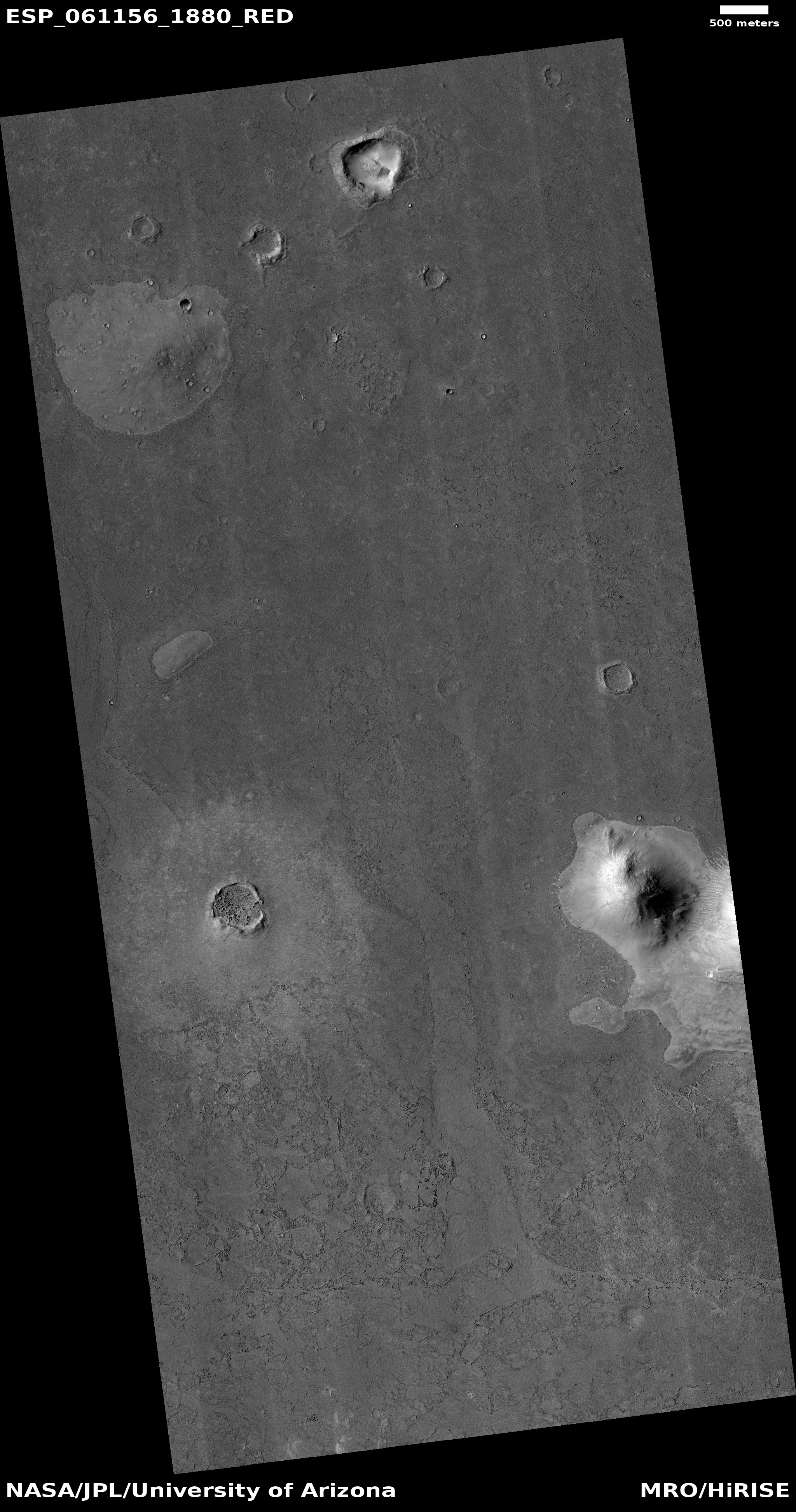
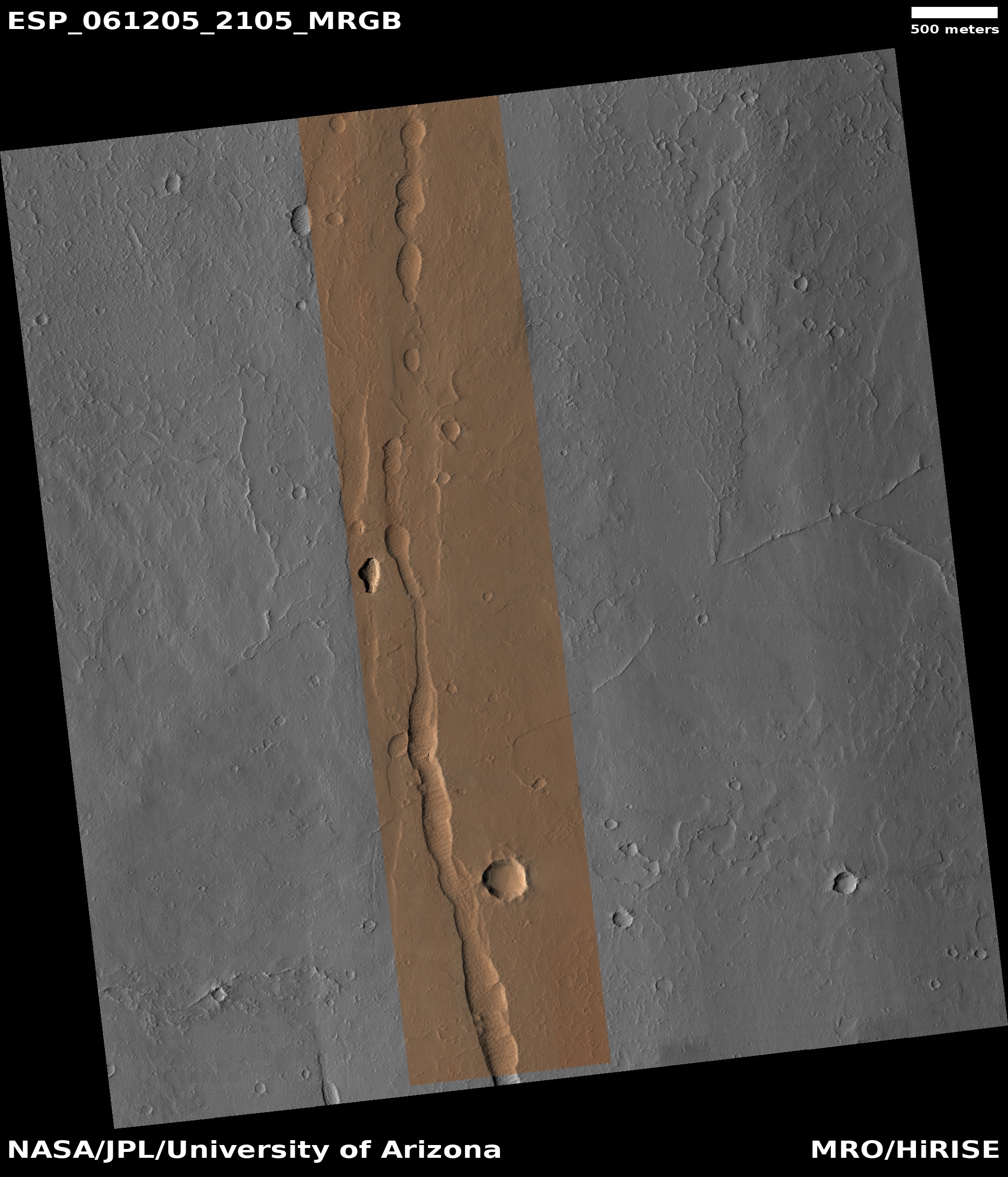
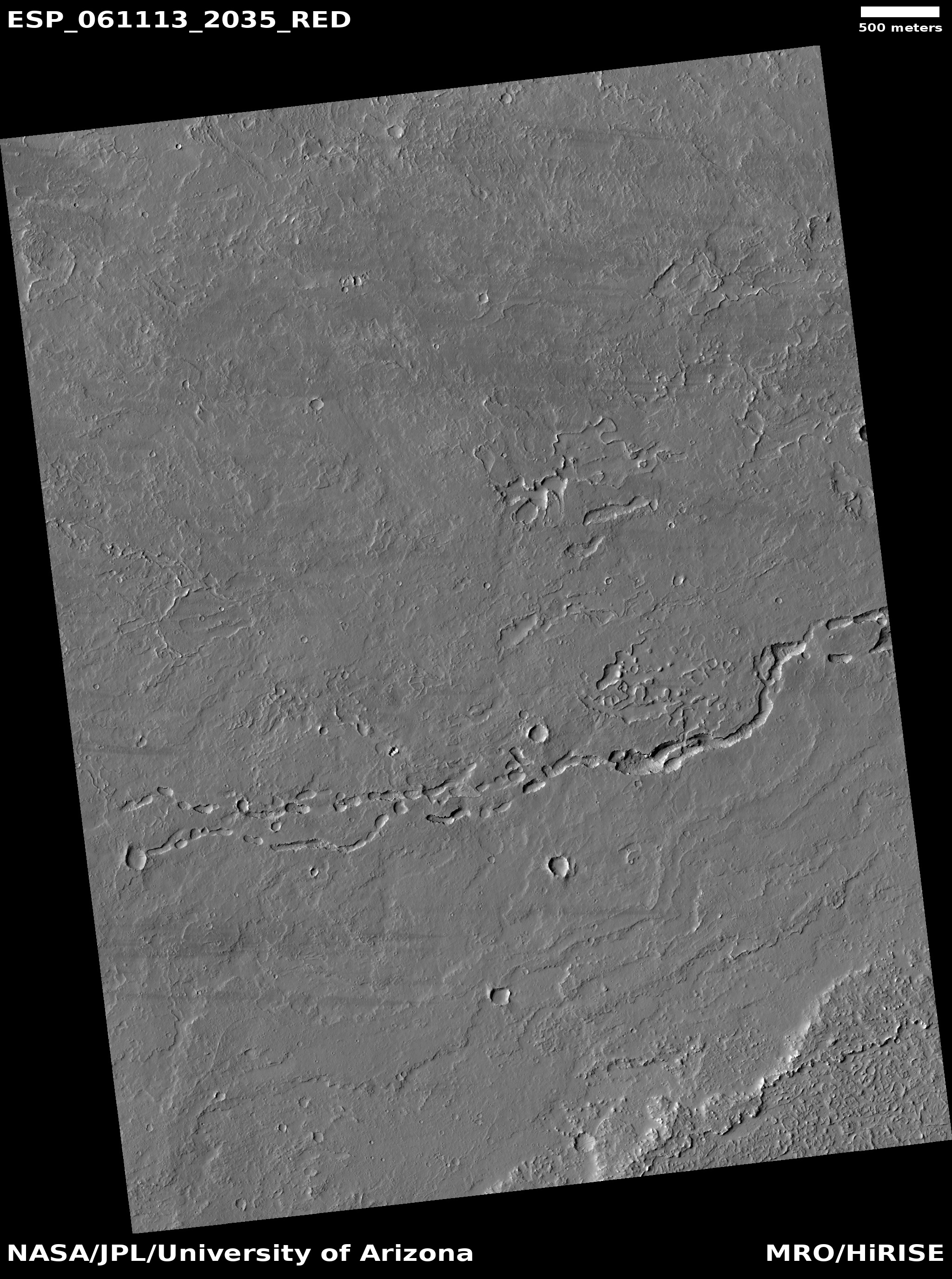
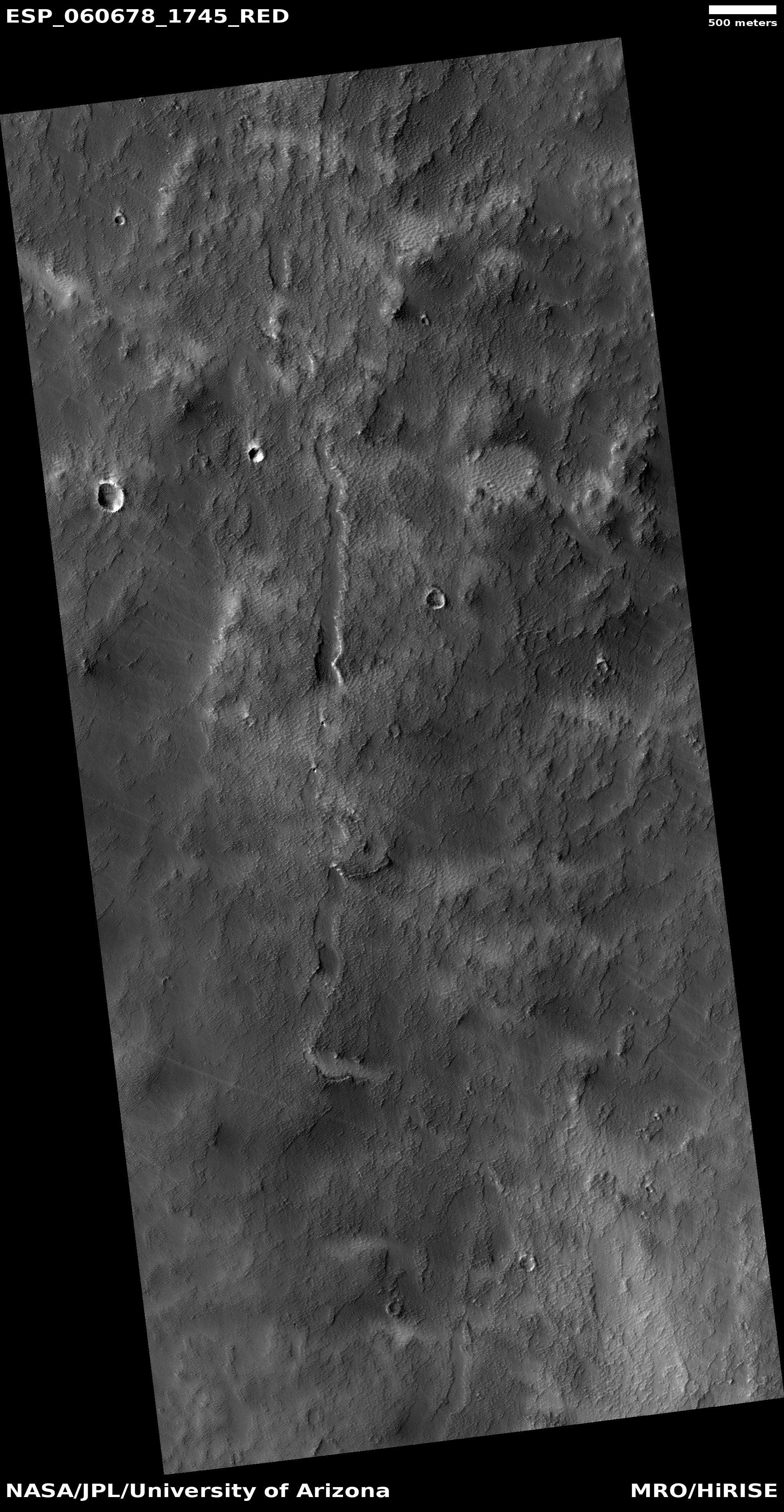
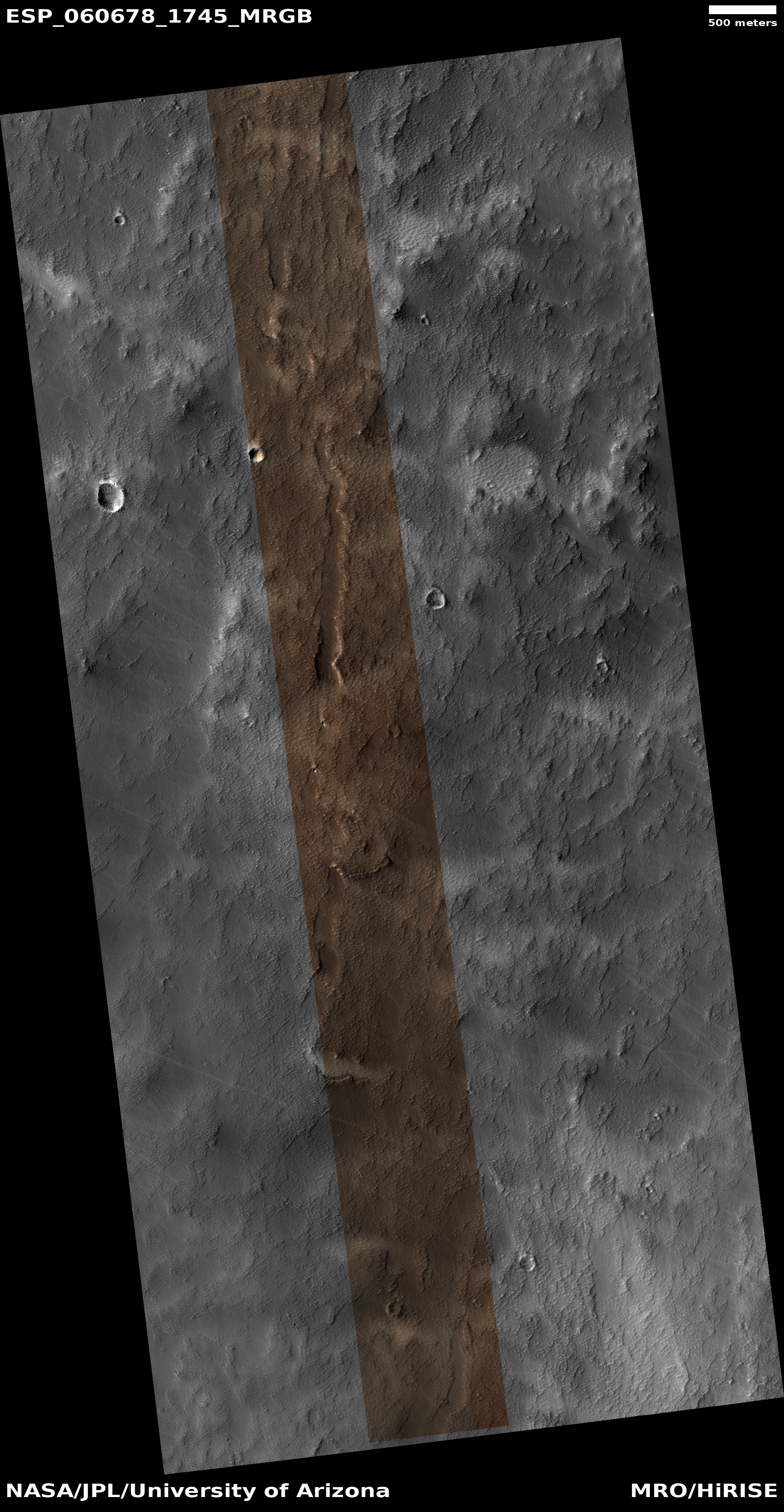
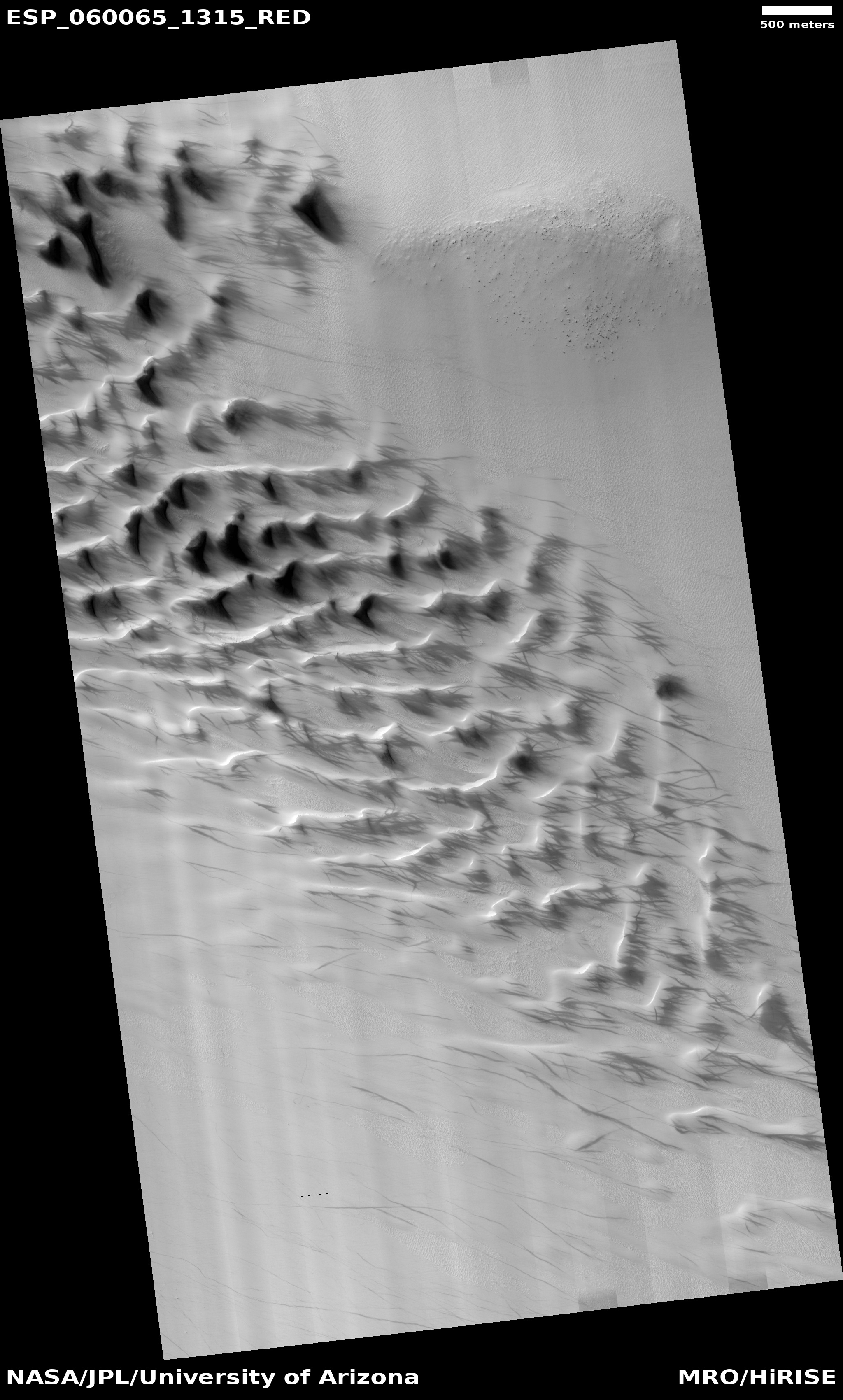
On August 9, 2019 I provided an update on this monitoring, when new images of this same location were downloaded from MRO in April and June. MRO has now taken a new image of Buzzell, on October 2, 2019. Below the fold are all these images so that you can see the sublimation and disappearance of that dry ice layer over time.
» Read more

1 comment

Lava-draped terrain on Mars

Lava surrounding hill and partly covering crater
Click for full image.

Hill surrounded by lava flows
Click for full image.

Cool image time! Continuing this week’s series of lava-related images from Mars (previous posts here, here, and here), today’s post is ironically the first to actually show lava flows.

The two images to the right, reduced and cropped to post here, are sections taken from an uncaptioned picture, titled “Lava-Draped Surface in Cerberus Palus” and found in the most recent download from the high resolution camera on Mars Reconnaissance Orbiter (MRO).

It is obvious why the MRO scientists gave this image this title. The hills in both pictures clearly seem to stand up like islands in a surrounding sea of frozen lava. Older craters, created prior to the lava flow, are partly obscured by the lava flows, their interior floors filled and their rims broken as the lava flooded this region.

Nor are these the only high points captured in the image that this flood of lava inundated. If you look at the full image there is even a low mound where it appears the surrounding lava flood worked its way up the hill’s gently sloping flanks only to freeze just before it completely covered the top of the mound.

The location of this image, shown by the red box in the overview map below and to the right, gives us a hint where the lava came from, though the distances involved to the nearest giant volcano, Elysium Mons, are so large it is likely that this flow is not directly linked to that volcano.
» Read more

0 comments

Sinkholes on Mars

Collapse pit on Mars
Click for full image.

Cool image time! In this week’s exploration of Martian geology that is reminiscent of Earth-based lava geology, today’s image is of a collapse pit in Ceraunius Fossae, the vast region of north-south fissures found to the south of the volcano Alba Mons. The photo to the right, cropped to post here, zooms in on that pit.

The picture was part of the most recent image release from the high resolution camera on Mars Reconnaissance Orbiter (MRO). What makes it especially interesting is the sharpness of its rim, in comparison to the collapse channel to the east. This suggests the pit is younger and fresher than the channel, and happened more recently. This also implies that the voids below the ground in which the surface is sinking are either still there, or due to on-going processes might be still be forming (like caves are on Earth).

For example, if there is underground ice, temperature changes or even thermal heat from the nearby giant volcanoes could melt that underground ice periodically, allowing it to flow and erode the surrounding material, forming voids. That this pit is located at 30 degrees north latitude, just inside the northern hemisphere band where glaciers are found, adds weight to this possibility.

The image below, reduced and rotated so that north is to the left, shows the entire sequence of collapse channels, with the more distinct pit from above in the bottom center of the picture.
» Read more

0 comments

A discontinuous Martian channel

Discontinuous channel near Olympica Fossae
Click for full image.

Close-up of channel

Time for more strange Martian geology! As I said in my post yesterday of a cool image of skylights into what might be a Martian lava tube, this is lava week on Behind the Black. The image at the right, rotated, reduced, and cropped to post here, is similar to yesterday’s photograph, showing a line of sinks and depressions that strongly suggest the existence of an underground lava tube.

The problem with this theory is that at present we really have no idea what flowed here. It could have been lava, but it also could have been mud, water, ice, or some as yet unimagined Martian geological process.

The image was part of the most recent image release from the high resolution camera on Mars Reconnaissance Orbiter (MRO), and was uncaptioned. The top image shows the whole channel as captured by the photograph, with the white box indicating the area covered by the second image, posted here at full resolution.

Though the overall slope of the terrain here is downhill to the west, the grade is relatively shallow, so there is no guarantee that the local slope of this particular channel follows that trend. Downhill could be either to the west or the east.

The reason I favor lava (as an amateur geologist) is the location of this channel, as shown in the overview map below and to the right.
» Read more

0 comments

Skylights into Martian lava tube?

Possibly connected skylights into lava tube
Click for full image.

Close-up of skylights
Click for full image.

Cool image time! In the archive of images from the high resolution camera on Mars Reconnaissance Orbiter (MRO) I came across the uncaptioned image on the right, dubbed “Possibly Connected Lava Tube Skylight Pair in Tharsis Region.”

The top image, cropped and reduced to post here, is a wide view, showing a narrow depression oriented in a north-south direction. Downhill is to the north, with the caldera of the giant volcano Arsia Mons to the south. The white box indicates the area covered by the bottom image, cropped and expanded to post here. Within this close-up are two dark spots, each about 150 feet across.

The two dark spots surely look like small pit openings. Their alignment with the north-south depression strongly suggests that an underground lava tube is below. That this depression is also aligned with the downhill slope further reinforces this supposition.

The depression itself also aligns with the gigantic fault that runs from the northeast to the southwest through all three of the giant Tharsis Bulge volcanoes. Arsia Mons is the southernmost of the three. It is also where that fault is most clearly expressed by two dramatic breaks in the volcano’s rim in the northeast and southwest, as seen in the overview image below. Scientists have taken of lot of images of these breaks in an effort to better understand the geology and how it fits in with the formation of the volcanoes.

Overview of Arsia Mons

However, a review of the entire image archive of MRO’s high resolution camera shows that scientists have taken very few close-up images in this region. The black box in the overview map on the right is the location of this image. As of now, only three other high resolution images, as indicated by the white boxes, have been taken by MRO of this part of the volcano’s north slope.

That the skylights and depression align with this giant fault is not evidence that this supposed lava tube is linked to that fault. Lava will flow down the mountain’s slopes, fault or no fault. At the same time, the fault’s existence is also going to encourage north-south cracks and fissures, which in turn could have served as a convenient flow route for the lava. Without a closer look, on site, it is hard to know one way or the other..

I’ve located a few more lava related cool images in the MRO archive, so I’m going to make this week lava week on Behind the Black. Stay tuned!

1 comment

Ice! Ice! Everywhere on Mars ice!

Ice scarp in Milankovic Crater
Click for full image.

In January 2018 scientists announced the discovery of exposed ice in a number scarp cliff faces found in the high-mid-latitudes of Mars.

These scarps, which have so far been found in one southern 50-55 degree latitude strip and in one crater, Milankovic, at the same latitude in the north, are important because they are one of the first places on Mars in its lower latitudes where we have found ice actually exposed and visible, not buried like the many buried glaciers very near the surface found in the 30 to 60 degree northern and southern latitude bands.

Since that press announcement, scientists have been monitoring these sites for changes, as well as expanding their survey to see if they can locate more of these scarps.

Overview map

My previous posts on this subject were mostly focused on that southern strip near Hellas Basin, as shown on the map on the right. In reviewing the most recent image download from the high resolution camera on Mars Reconnaissance Orbiter (MRO), I noticed that the only new images of ice scarps were taken in the northern location, in Milankovic Crater, as indicated by the white dot north of Olympus Mons. The first image above shows the north-facing scarp of one of these images, cropped to focus in on the color section where, if you look close, you will see a strip of blue across the base of the scarp. That’s the ice layer, exposed as the scarp sublimates away over time from the north to the south.

over view of all MRO images taken so far in Milankovic Crater

This scarp, labeled #2 on the overview map of Milankovic Crater on the right, is located inside the crater’s eastern rim. The second image, posted below and labeled #1 on the overview map, shows a wider area of several ice scarps located on the inside of the crater’s southwestern rim.

The red boxes in the overview map indicate all the images taken by MRO inside this crater. If you go to the camera’s archive and focus in on Milankovic Crater at 54.5 degrees north latitude and 213.3 degrees longitude, you can then click on each red box to see the high resolution image. In practically every image along the crater’s inside rim can be found numerous scarps.
» Read more

0 comments

Swirls and layers in Martian depression

Close-up on swirls and layers

Context of depressions in Columbus Crater
Click for full resolution image.

Cool image time! The southern highlands of Mars is littered with numerous craters, making it look from a distance not unlike the Moon. A closer inspection of each crater and feature, however has consistently revealed a much more complex history than seen on the Moon, with the origins of many features often difficult to explain.

The two images on the right, rotated, cropped, and reduced to post here, shows one such feature in the floor of one southern highlands crater, dubbed Columbus Crater. The top image is a close-up of the area shown by the box in the bottom image.

The uncaptioned full photograph was taken on May 20, 2019 by the high resolution camera on Mars Reconnaissance Orbiter (MRO) and was simply titled “Depression in Columbus Crater.” Since the photo included two large depressions, as shown in the wider view in the bottom image, I’m not sure which depression this title refers. In both cases the features do not appear to be impact craters. The top depression is far too irregular, while both do not have the upraised rims that are found on most impact craters.

I have zoomed into the top depression because of its many swirls and layers. On Earth such terrain is usually caused by either water or wind erosion, slowly carving a smooth path across multiple geological layers. Here, there is no obvious evidence of any flows in any direction. Something ate out the material in this depression, exposing the many layers, but what is not clear.

The lower depression reminds me of sinkholes on Earth, where the ground is subsiding into a void below ground The same process could have also formed the top depression.

The surrounding terrain is equally baffling, resembling the eroded surface of an ice block that has been sprayed with warm water. In fact, the entire floor of Columbus Crater appears to have intrigued planetary scientists, as they have requested a lot of images of it from MRO. So far they do not have enough of these images to produce a full map. Since the terrain appears to change drastically over short distances, it is therefore hard to fit the geology of each image together. The overall context is missing.

When I first saw this image I tried to reach the scientist who requested it in the hope he might provide me a more nuanced explanation of what we see here, but despite repeated requests he never responded. Therefore let me propose one theory, based on my limited knowledge of Martian geology.
» Read more

1 comment

Weird glacial features in Martian crater

weird glacial feature in crater on Mars
Click for full image.

Cool image time! In reviewing today’s October release of new images from the high resolution camera of Mars Reconnaissance Orbiter (MRO), I came across the strange geology shown in the image to the right, rotated, cropped, and reduced to post here.

The uncaptioned image calls these “glacial features within crater.” The crater is located at 35 degrees north latitude in Arabia Terra, one of the more extensive regions of the transition zone between the northern lowlands and the southern highlands. It is also located within the northern band from 30 to 60 degrees latitude where most of the buried Martian glaciers are found.

The most abundant type of buried glaciers are called concentric crater fill (CCF) because they are found inside craters, and often show decay in a concentric manner. This weird feature likely falls into that category, though I would hardly call these glacier features concentric.

I’m not even sure if this is an impact crater. If it is, its rim has been heavily obscured, making it look instead like an irregular depression with one outlet to the south. In fact, I suspect it is possibly one of the lakes that scientists believe pepper this part of Arabia Terra and might have contained liquid water two to three billion years ago. That water would have later frozen, and possibly become covered by dust and debris to protect it.

According to present theories, Mars is presently in a period where its mid-latitude glaciers are shrinking, the water sublimating away and being transported back to its poles. The weird formations here suggest this process. Imagine what happens when you spray warm water on a big block of ice. It dissolves, but randomly to form weird shapes.

In this case the glacier is shrinking randomly where the ice has gotten exposed. In the thin Martian atmosphere, it transitions directly from a solid to a gas, sublimating into the atmosphere to leave these inexplicable shapes.

2 comments

The slowly changing dunes of Mars

Map of Mars

In order to better understand the climate and geology of Mars, scientists need to study how the thin Martian atmosphere causes changes to the planet’s numerous sand dunes. To do this, they have been using the high resolution camera on Mars Reconnaissance Orbiter (MRO) to periodically snap photos of the same places repeatedly over time, to track any changes that might occur.

Recently the monthly download dump of images from MRO included one such location in the northwest quadrant of Hellas Basin, what I call the basement of Mars because it the planet’s lowest point. The uncaptioned image was taken on May 20, 2019 and was titled “Hellas Region Sand Dune Changes.” A review of past images shows that MRO has taken pictures of this location several times in the past, in 2011 and in 2017. All these images were taken during the Martian autumn season, and were taken to see if over time there were any significant changes to the dunes due to winds.

My superficial comparison of the 2011 and 2017 images does not show much obvious change. There could be small changes that my quick review did not spot, and there is also the strong possibility that the entire dune field could have shifted as a unit over those three Martian years, a change that would require a more detailed analysis beyond my technical capabilities. Click on both links, put the photographs in separate tabs, and switch quickly between them to see if you can spot any differences.

Comparing the 2011 and 2019 images however shows some significant changes, most of which I think are due to the 2018 global dust storm. Below is that comparison.
» Read more

0 comments

Martian impact into lava crust?

Impact crater north of Pavonis Mons
Click for full image.

Cool image time! The photo on the right, cropped to post here, was taken by the high resolution camera on April 23, 2019. It shows a quite intriguing impact crater on the northern lava slopes of Pavonis Mons, the middle volcano in the chain of three gigantic volcanoes to the west of Valles Marineris.

What makes this image cool is what the impact did when it hit. Note the circular depression just outside the crater’s rim. In the southeast quadrant that ring also includes a number of additional parallel and concentric depressions. Beyond the depression ground appears mottled, almost like splashed mud.

What could have caused this circular depression? Our first clue comes from the crater’s location, as shown in the overview map below and to the right.
» Read more

3 comments

Tongue-shaped glaciers on Mars

Tongue-shaped glacier on Mars
Click for full image.

Cool image time! I could also call this another example of mass wasting, which it appears to be according to my understanding of Martian geological processes. However, the Mars Reconnaissance Orbiter science team dubbed this image “Tongue-Shaped Glaciers in Centauri Montes,” and I have no right to disagree with them.

The image to the right, rotated, cropped, reduced, and brightened to post here, shows the most prominent tongue-shaped glacier in the full image. The two curved ridges to the south of the glacier’s tip are almost certainly old moraines of debris pushed there during earlier events, when the glacier material extended farther out. In fact, if you look close you can see that this tongue lies on top of a larger older tongue that lines up with the closer of these two ridges.

This feature is located at 37 degrees south latitude, which puts it inside Mars’s southern glacial band that extends from 30 to 60 degrees latitude. According to the present defined types of Martian glaciers, this tongue is what scientists have dubbed a lobate debris apron, a glacier that in many ways resembles glaciers we see on Earth.

The location of this feature is especially interesting, especially because other images have found that it is not unique to this region.
» Read more

0 comments

Cave pits in the Martian northern lowlands

New pits in Hephaestus Planitia

I could call this my monthly Martian Pit update. Since November 2018 I have each month found from two to five new and interesting cave pits in the monthly download of new images from the high resolution camera on Mars Reconnaissance Orbiter (MRO). My previous posts:

All except the last August 12 post were for pits on the flanks of Arsia Mons, the southernmost in the line of three giant volcanoes to the southeast of Olympus Mons, and were thus almost certainly resulting from lava flows.

The August 12 post instead showed pits found in Utopia Planitia, one of the large plains that comprise the Martian northern lowlands where scientists think an intermittent ocean might have once existed. All of these pits are found in a region of meandering canyons dubbed Hephaestus Fossae.

In the most recent MRO release scientists once again focused on the pits in or near Hephaetus, imaging four pits, two of which have been imaged previously, as shown in my August post and labeled #2 and #4 in this article, and two (here and here) that appear new. The image on the right, cropped to post here, shows the two new pits, dubbed #1 and #3. In the full image of #1, it is clear that this pit lines up nicely with some other less prominent depressions, suggesting an underground cave. Pit #3 however is more puzzling. In the full image, this pit actually runs perpendicular to a long depression to the west. There are also no other related features around it.

What makes all four of these pits intriguing is their relationship to Hephaestus Fossae and a neighboring rill-like canyon dubbed Hebrus Valles, as shown in the overview map below.
» Read more

6 comments
1 76 77 78 79 80 90