
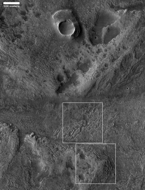
Corroded Martian southern highlands
Click for full image.
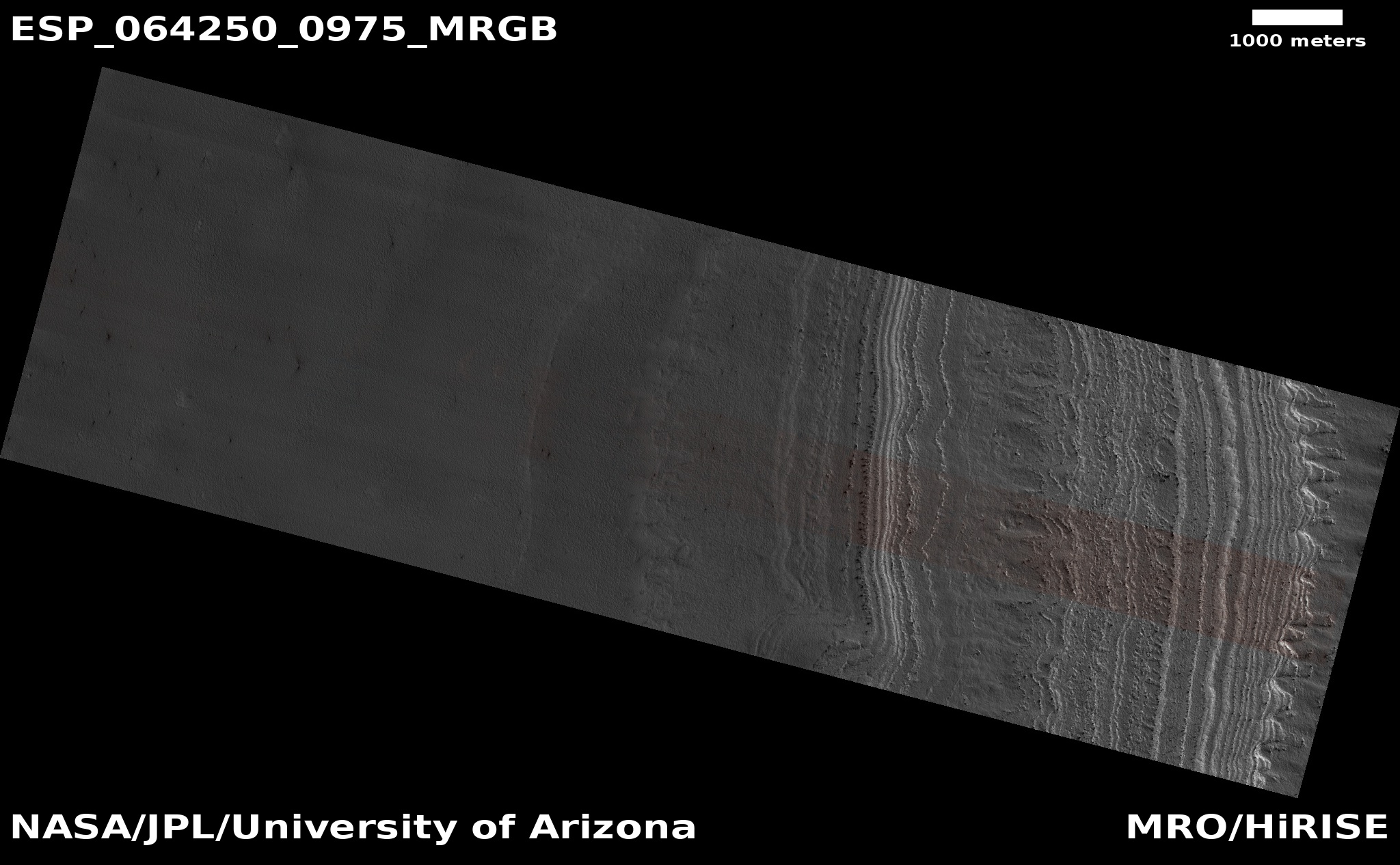
Today’s cool image is another example of strange terrain on Mars that is difficult to explain, though one can make some guesses. The photo to the right, rotated, cropped, and reduced to post here, was taken on May 29, 2020 by the high resolution camera on Mars Reconnaissance Orbiter (MRO), and shows an area in a region dubbed Aonia and located in the southern cratered highlands directly south of Valles Marineris.
This spot is in the high mid-latitudes, 55 degrees south. In the northern lowland plains one would expect to see a lot of evidence of ice, either as debris covered glaciers in craters or flowing off of mesas, or in an underground ice table that is revealed from impacts and other events that caused it to melt temporarily in the past for a brief instant.
No such features are apparent in this image however. In fact, the photo seems to show a very dry place, with the surface almost all hard bedrock that has been eroded to leave behind rough and sharp features. That a significant amount of erosion has occurred here is indicated by the pedestal crater near the image’s top. When its impact took place the topography was higher. Since then the ground around this crater has been worn away, with the mashed material under the impact at a higher density and more resistant to erosion.
If this spot has an ice table or any buried glacial material, it is not obvious, and certainly not revealed by this erosion.
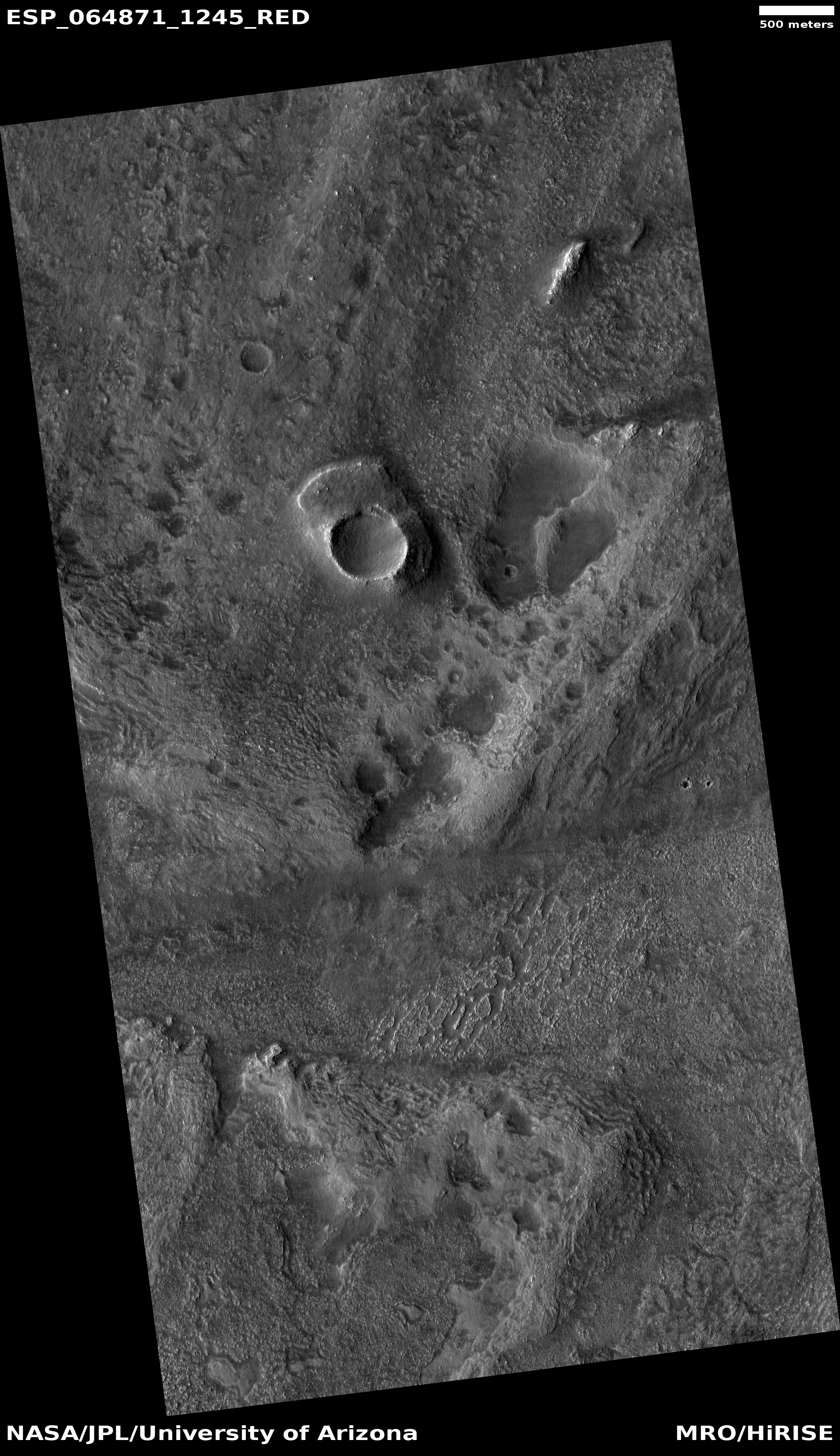
The two square boxes indicate two insets that I have only cropped to show them at full resolution, and are posted below.
» Read more
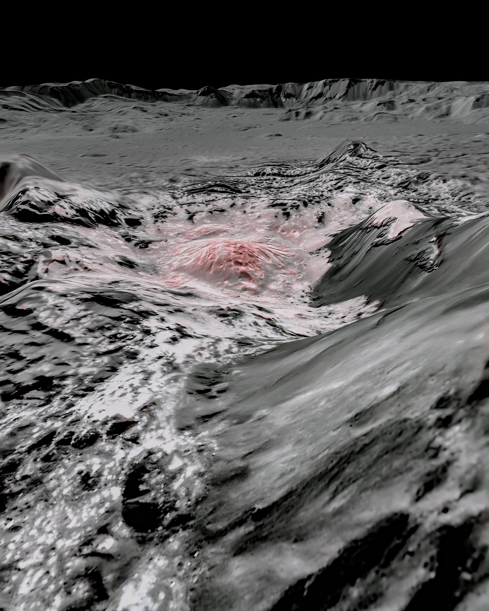
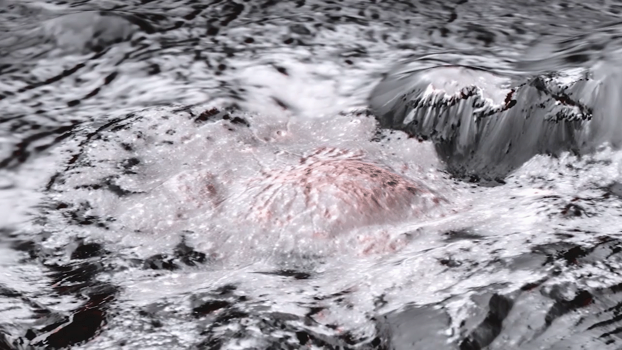
Click for full image.
Today’s cool image is another example of strange terrain on Mars that is difficult to explain, though one can make some guesses. The photo to the right, rotated, cropped, and reduced to post here, was taken on May 29, 2020 by the high resolution camera on Mars Reconnaissance Orbiter (MRO), and shows an area in a region dubbed Aonia and located in the southern cratered highlands directly south of Valles Marineris.
This spot is in the high mid-latitudes, 55 degrees south. In the northern lowland plains one would expect to see a lot of evidence of ice, either as debris covered glaciers in craters or flowing off of mesas, or in an underground ice table that is revealed from impacts and other events that caused it to melt temporarily in the past for a brief instant.
No such features are apparent in this image however. In fact, the photo seems to show a very dry place, with the surface almost all hard bedrock that has been eroded to leave behind rough and sharp features. That a significant amount of erosion has occurred here is indicated by the pedestal crater near the image’s top. When its impact took place the topography was higher. Since then the ground around this crater has been worn away, with the mashed material under the impact at a higher density and more resistant to erosion.
If this spot has an ice table or any buried glacial material, it is not obvious, and certainly not revealed by this erosion.
The two square boxes indicate two insets that I have only cropped to show them at full resolution, and are posted below.
» Read more

