The freaky floor of Mars’ Hellas Basin

The perplexing floor of Hellas Basin
Click for full image.

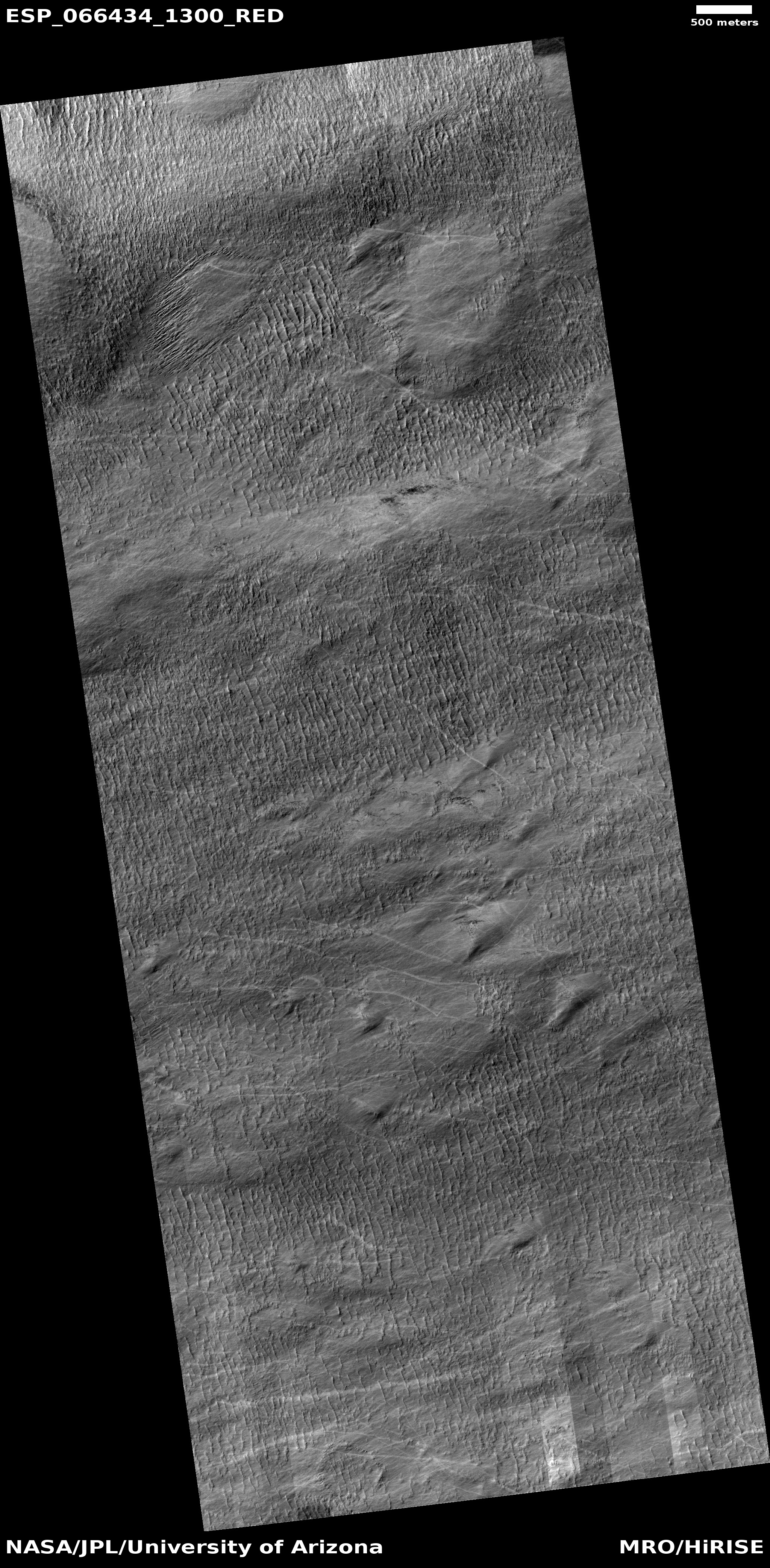
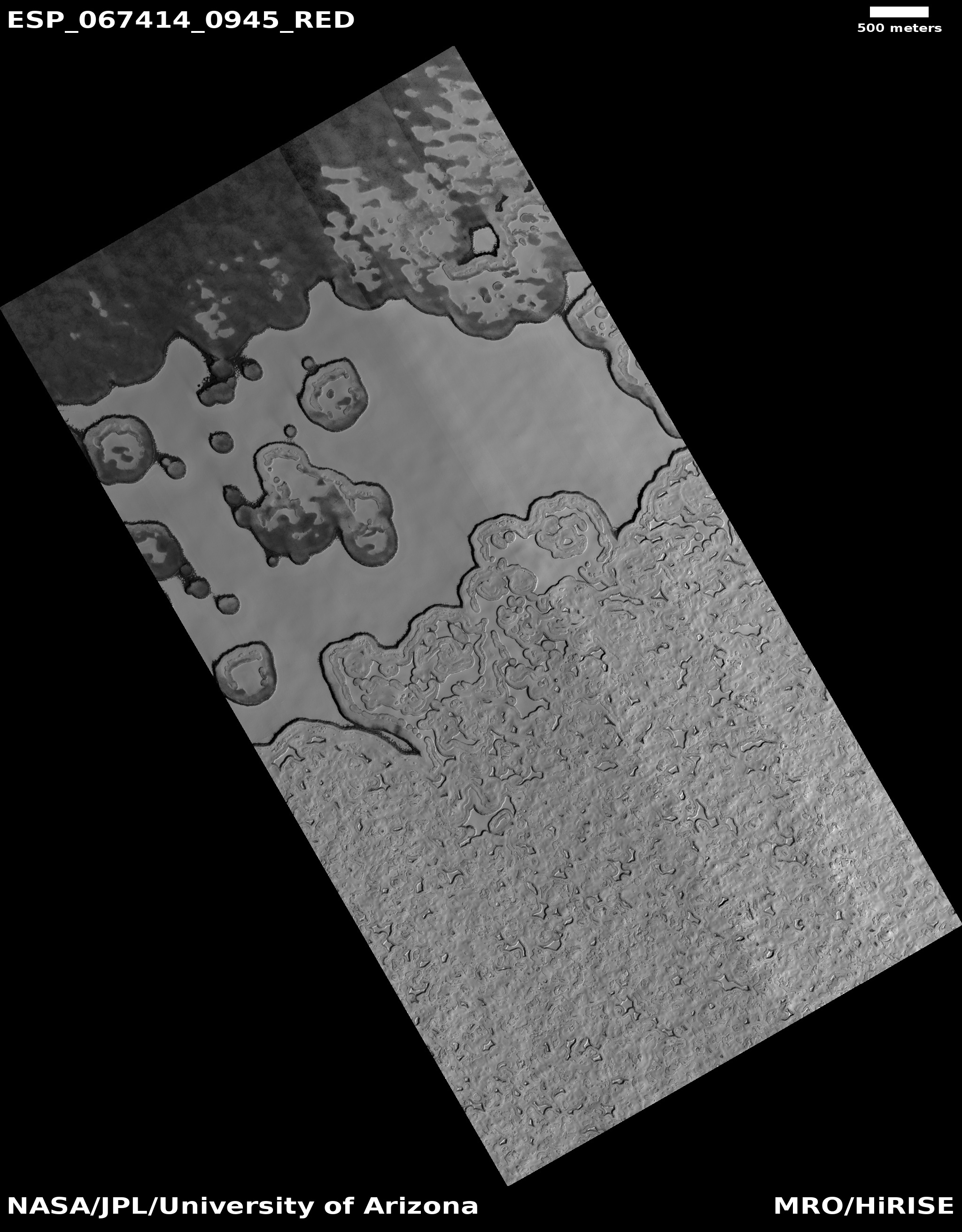
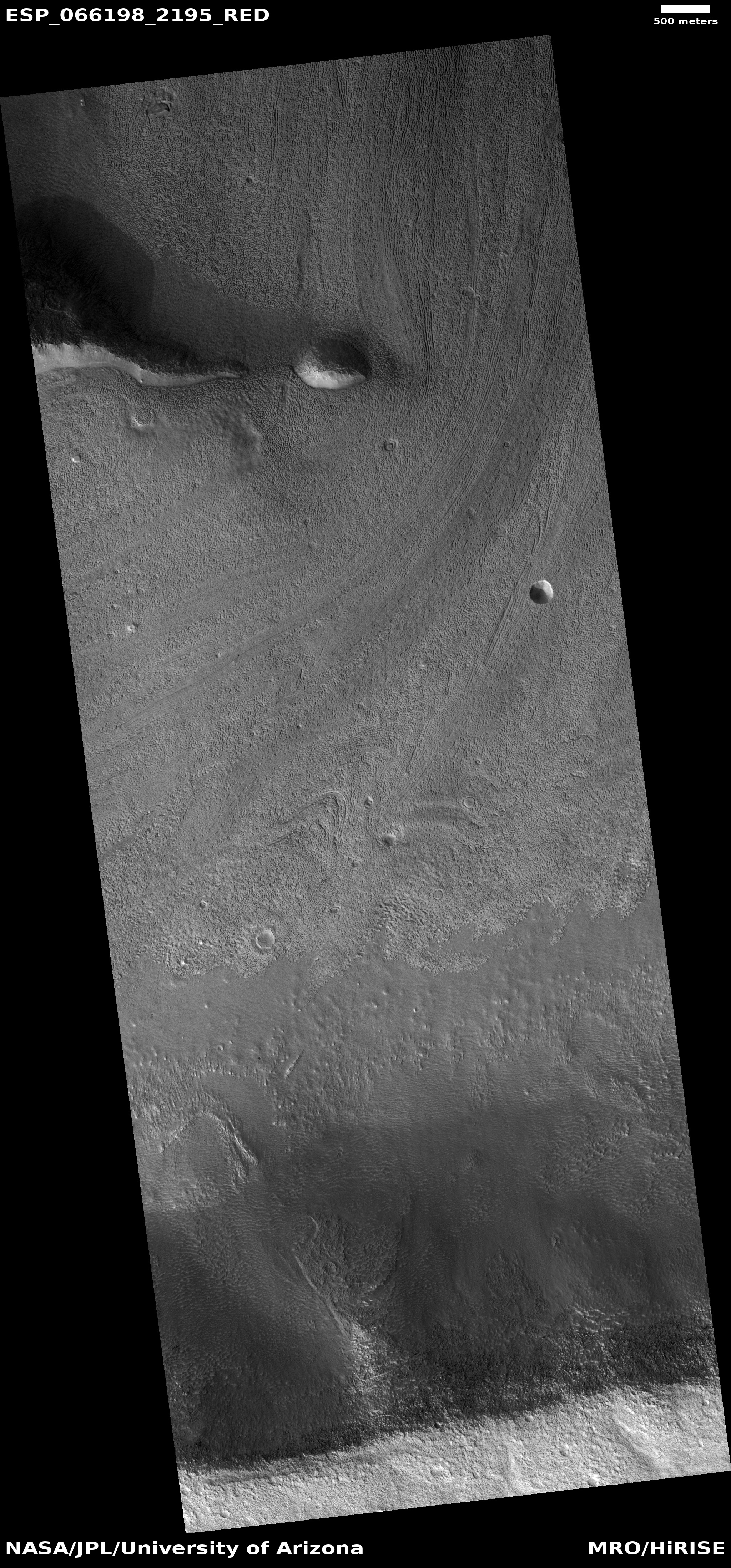
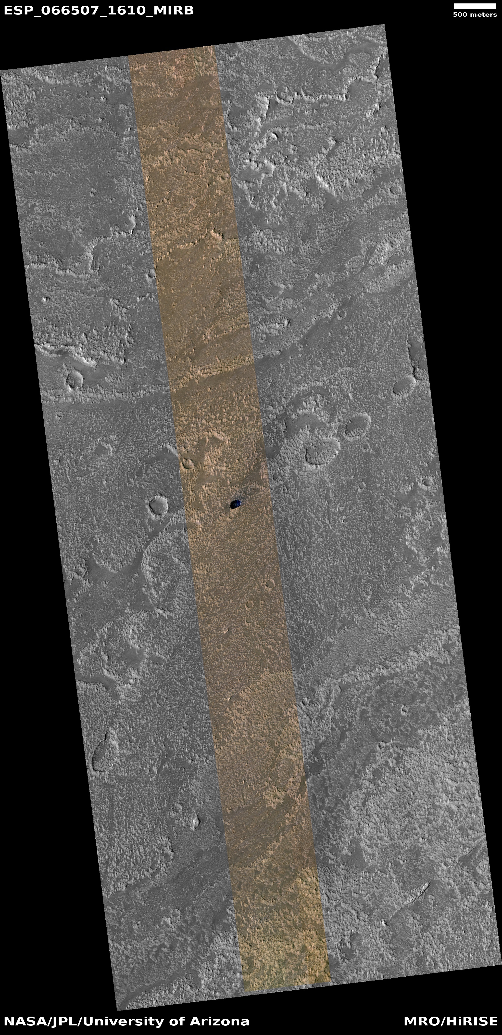
Today’s cool image takes us to the Death Valley of Mars, Hellas Basin, a place I like to call the basement of Mars. The photo to the right, cropped and reduced to post here, was taken by the high resolution camera on Mars Reconnaissance Orbiter (MRO) on September 28, 2020, and gives us another example of the very strange and inexplicable geological formations that are often found on the floor of Hellas.

The picture was taken not as part of any particular research project, but somewhat randomly for engineering reasons. In order to maintain the proper temperature of MRO’s high resolution camera, it must take images in a regular cadence. When large gaps in time occur between requested images, the camera team then picks locations to fill those gaps, sometimes randomly, sometimes based on a quick review of earlier wide angle images.

Sometimes these “terrain sample” images are quite uninteresting. More often they hold baffling surprises.

I think the photo to the right falls into the latter category. Though the terrain covered by the full image is largely flat and lacking in large features, the surface is strewn with perplexing small details.

The light streaks might be dust devil tracks, but why are they light here when such tracks are routinely dark everywhere else on Mars? What formed the many parallel small ridges? What caused the smooth solid patch near the photo’s center top? And why do the ridgelines at the western edge of that patch run in almost a perpendicular direction to the other ridges?

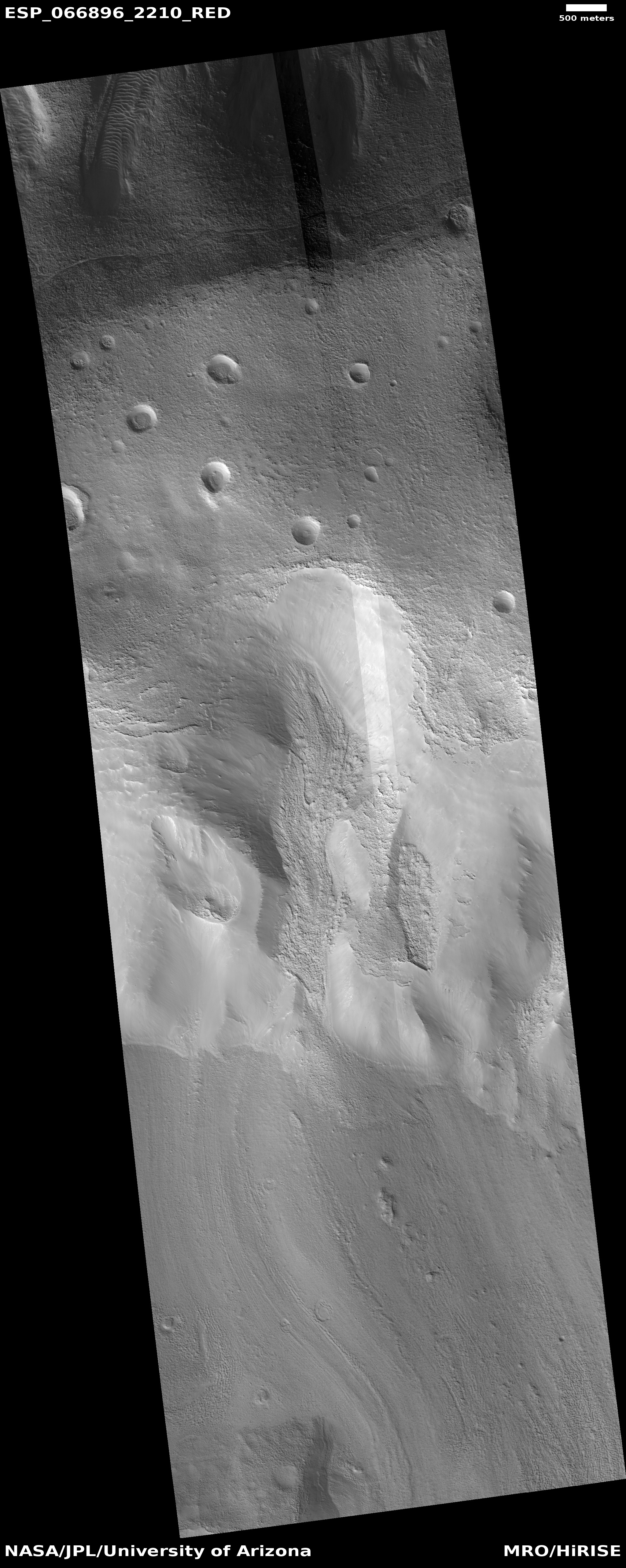
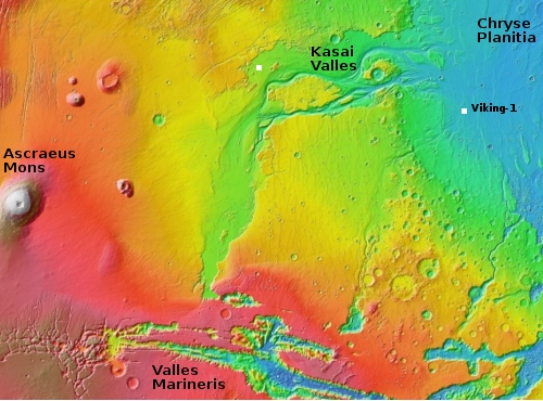
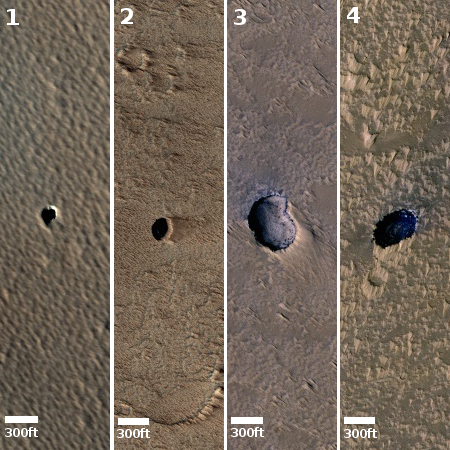
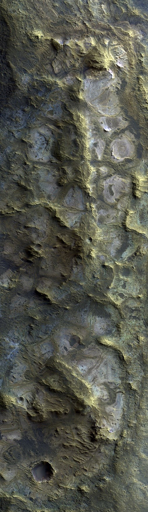
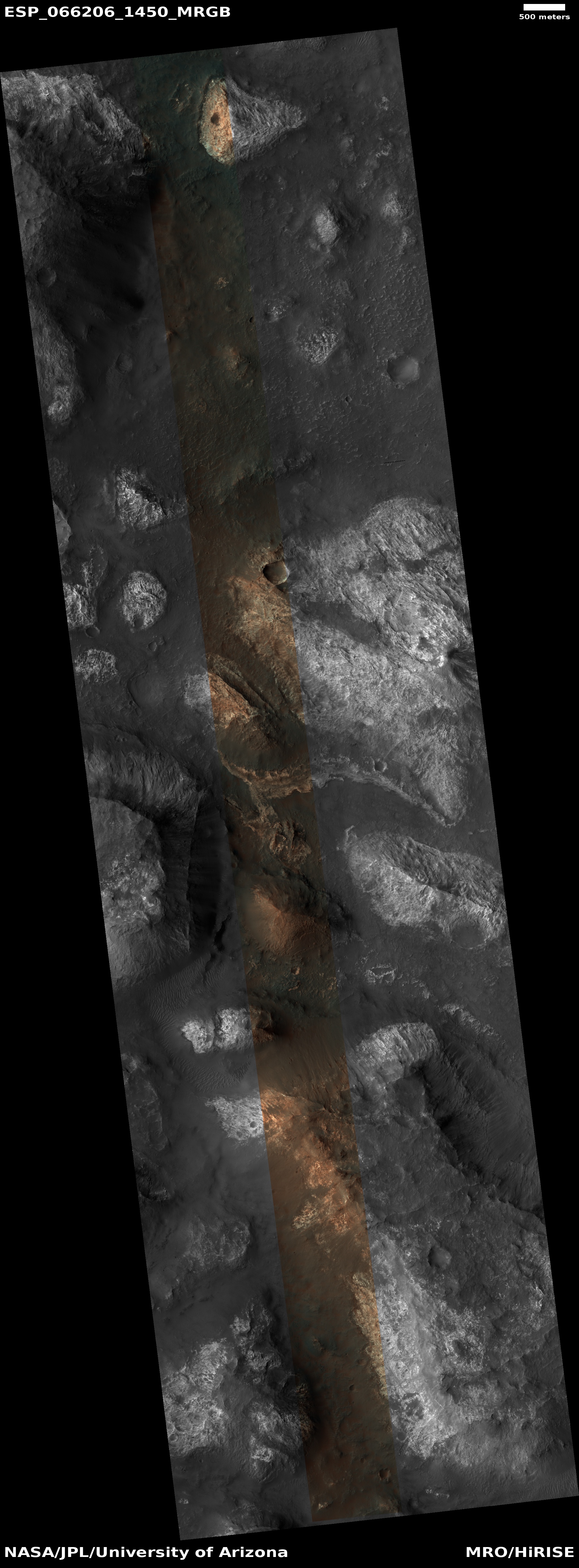
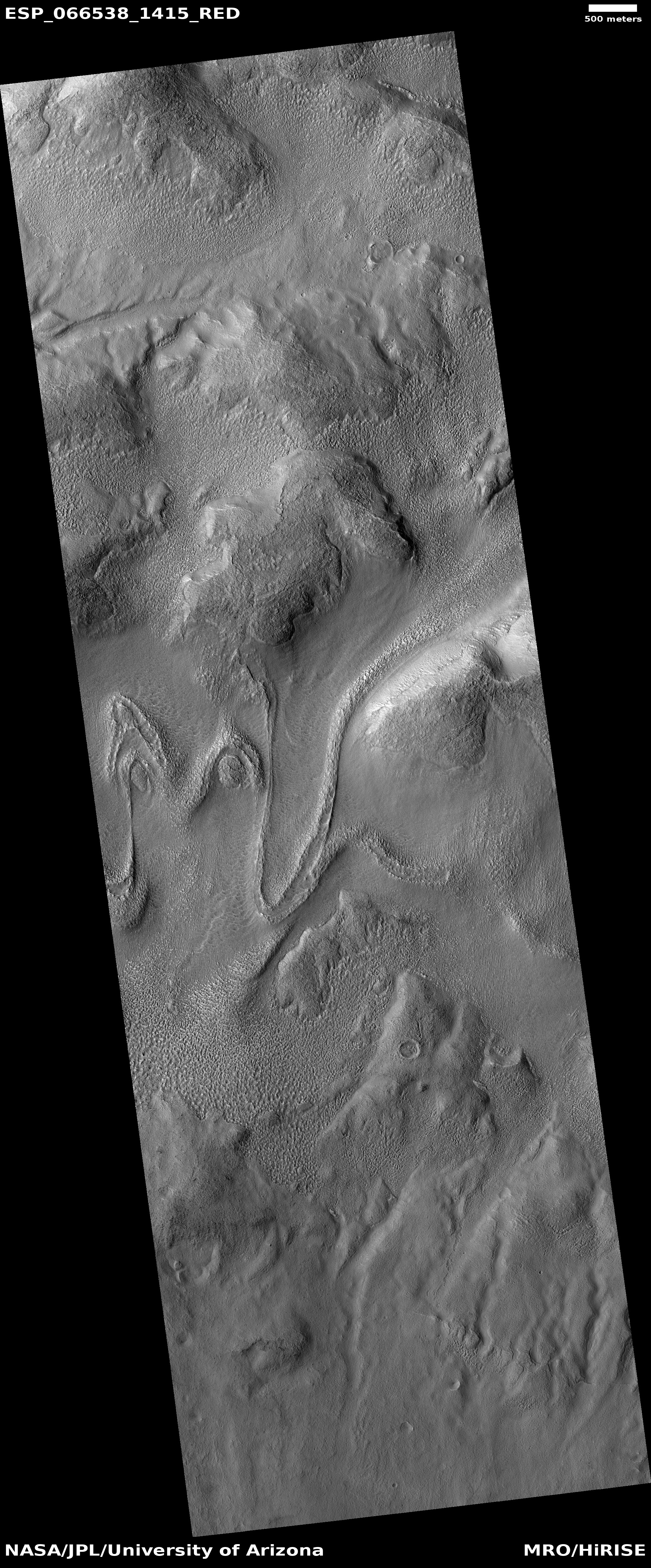
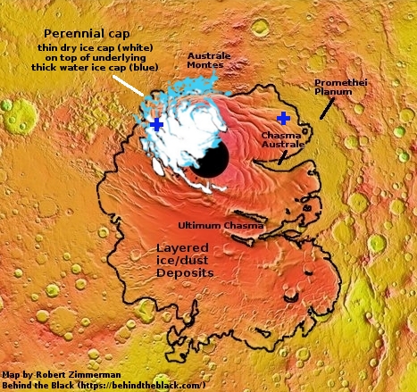
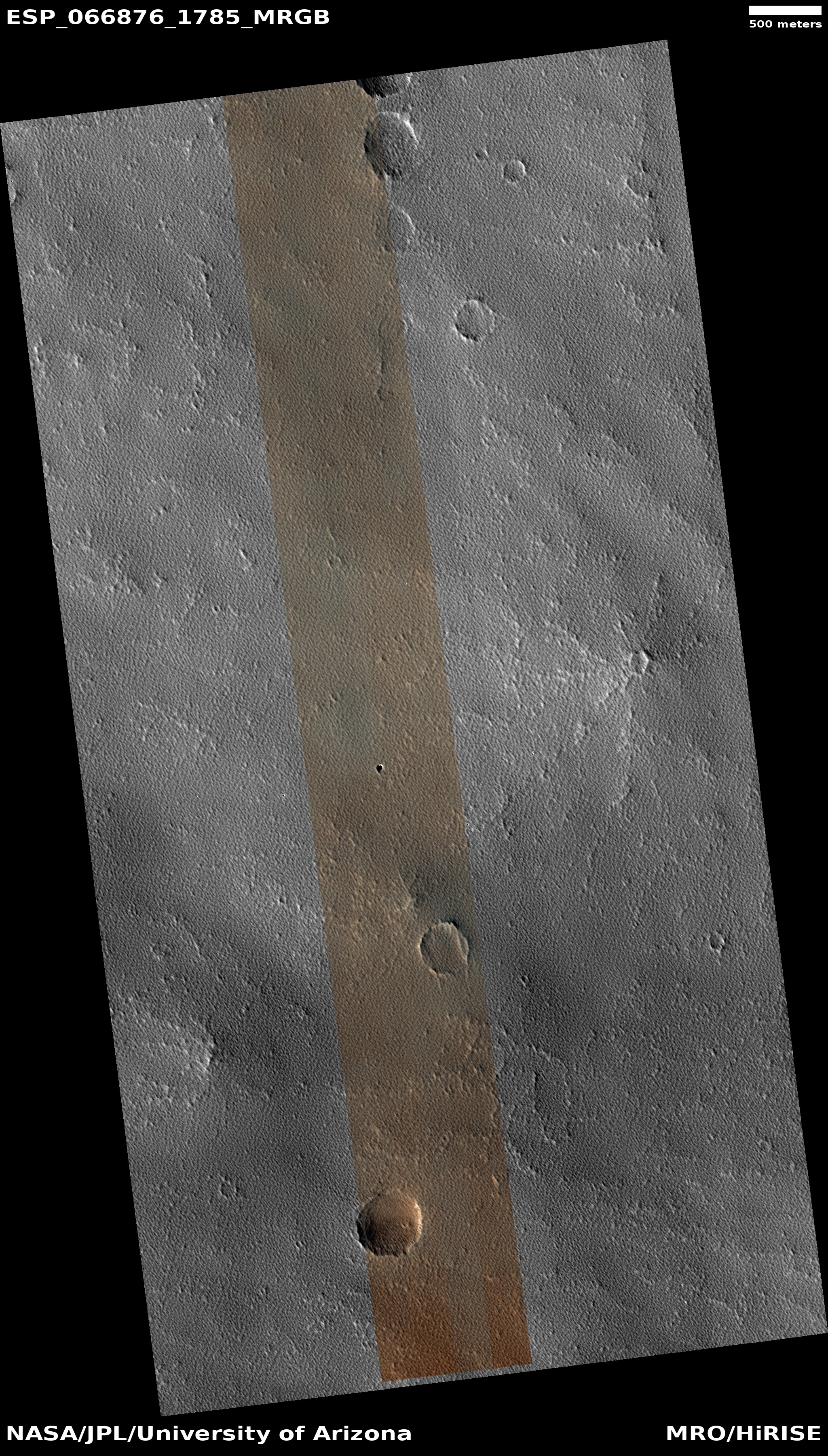
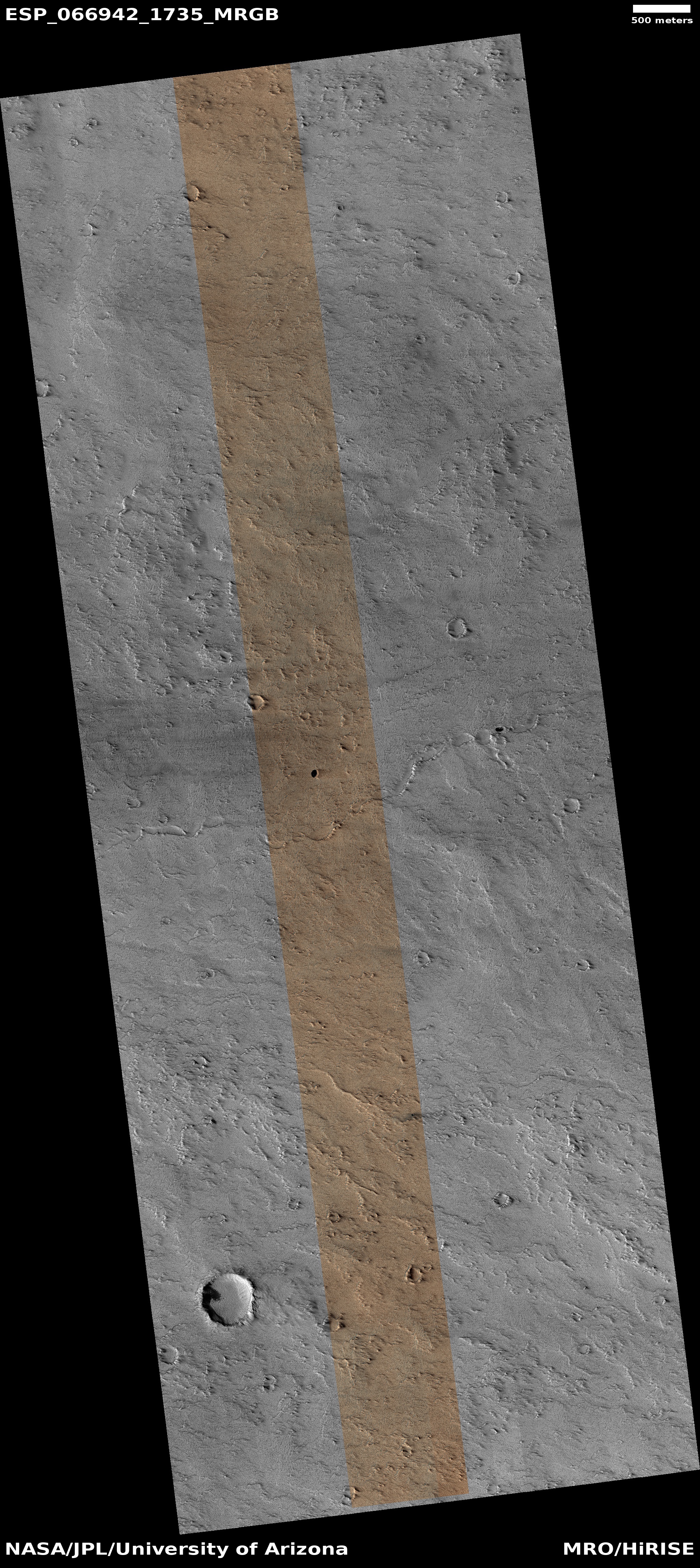
All a mystery, but then the floor of Hellas Basin is filled with such mysteries. Below is a list of some other cool images of the floor of Hellas, all weird and mystifying. Also below is an overview elevation map of Hellas Basin, with darker blue indicating the lowest elevations. The white cross marks the location of today’s photo.
» Read more

0 comments

Back to Mars’ glacier country

Tongue-shaped glacial flow on Mars
Click for full image.

The cool image to the right, rotated, cropped, and reduced to post here, was taken on November 3, 2020 by the high resolution camera on Mars Reconnaissance Orbiter (MRO). It shows what the science team labels a “Possible Tongue-Shaped Flow Feature in Protonilus Mensae.” There is no caption, so I will try to provide.

Protonilus Mensae is part of the long string of chaos terrain that runs about 2,000 miles along the transition zone between the southern cratered highlands and the northern lowland plains at about 30 to 40 degrees north latitude, and includes the other mensae regions dubbed Deuteronilus to the west and Nilosyrtis to the east. This region of Mars I like to call glacier country, because almost every high resolution photograph appears to show glacial features. To get an idea what I mean, take a gander at these past posts, their locations indicated by number in the overview map of Protonilus Mensae below:
» Read more

0 comments

The strange moated mesas of the Kasei Valley on Mars

Overview map

In showing my readers today’s cool image, I want to present it as it is seen by scientists, first from a far distance that with time increasingly zooms in to reveal mysteries on a very human scale.

The overview map to the right essentially gives us the view of Mars as seen by scientists following the Mariner 9 orbiter mission that began mapping the Martian surface in late 1971 after the conclusion of a global dust storm that had hidden its surface initially. As the first high resolution map of Mars, the orbiter revealed numerous puzzling and surprising features, including the largest volcanoes and canyons in the solar system. The orbiter also found that the red planet’s surface was comprised of two very different regions, the northern lowland plains and the southern cratered highlands.

The overview map, covering from about 13 degrees south latitude to about 34 degrees north latitude, shows us all but the southern cratered highlands. The white box in Kasei Valles is where today’s cool image is located. Both Kasai and Valles Marineris represent those giant canyons, all invoking to Earth eyes the possibility of catastrophic floods of liquid water sometime in the past.

Ascraeus Mons is the northernmost of the three giant volcanoes east of the biggest volcano of all, Olympus Mons. All sit on what scientists now call the Tharsis Bulge.

Chryse Planitia, where Viking-1 landed in 1976, is part of those northern lowlands that some scientists believe might have been once had an intermittent ocean sometime in the past. Today’s image is about 600 miles from the outlet into Chryse Planitia.

The geological mystery of all these features demands a closer look, something that scientists have been pursuing now for more than a half century.
» Read more

3 comments

The pit caves of Mars: Can humans someday live in them?

Four more pits in the Tharsis Bulge on Mars

It has been more than four months since my last report on the pits of Mars. Time to do another.

The collage to the right shows the four different pits photographed by the high resolution camera of Mars Reconnaissance Orbiter (MRO) since October. The links to each image are:

Like almost all the cave pits so far found on Mars, all are in the Tharsis Bulge of giant volcanoes to west of Valles Marineris. The overview map below shows these pits in the context of every other pit in this region that I have featured on Behind the Black.
» Read more

11 comments

The slowly disappearing dry ice cap at Mars’ south pole

The Happy Face crater near Mars' south pole
Click for the 2020 full image.

Cool image time! The photo to the right of two images taken by the high resolution camera on Mars Reconnaissance Orbiter (MRO) was posted as a captioned image by the orbiter’s science team today.

This crater, dubbed the Happy Face Crater because of the shape of the blobby features within it, is located on the south pole ice cap of Mars, about 200 miles from the south pole itself.

Today’s caption noted how these pictures, taken nine years apart, illustrate the change going on at the Martian south pole.

The โ€œblobbyโ€ features in the polar cap are due to the sun sublimating away the carbon dioxide into these round patterns. You can see how nine years of this thermal erosion have made the โ€œmouthโ€ of the face larger. The “nose” consisted of a two circular depressions in 2011, and in 2020, those two depressions have grown larger and merged.

While this caption noted the importance of studying these long term changes in order to understand the evolution of Mars’ climate and geology, it did not give the very specific discovery these changes suggest for Mars globally, a discovery that is actually very significant.

The two ice caps of Mars have some fundamental differences, all presently unexplained. The similarities are obvious. Both have permanent caps of water ice that are presently believed to be in a steady state, not shrinking or growing. Both each winter get covered by a thin mantle of dry ice that sublimates away completely with the coming of spring.

The differences are more puzzling, as shown by the maps of the two poles below.
» Read more

8 comments

Mysterious colors on Mars, near the landing site of Europe’s rover

Mysterious colors on Mars
Click for full image.

Cool image time! Today the science team for the high resolution camera on Mars Reconnaissance Orbiter (MRO) released a new captioned image, which I have cropped and reduced to post here to the right.

The photo was taken October 12, 2020, and shows a small very colorful area on top of an isolated hill. To quote the caption, written by Sharon Wilson:

An isolated, elongated mound (about 1 mile wide and 3.75 miles long) rises above the smooth, surrounding plains. Horizontal layers are exposed at the northern end of the mound, and its surface is characterized by a very unusual quasi-circular pattern with varying colors that likely reflect diverse mineral compositions.

…The origin of this mound is unknown, but its formation may be related to the clay-bearing rocks in the nearby Oxia Planum region.

» Read more

0 comments

Craters in slush on Mars

Dust devil steak across a slushy plain on Mars
Click for full image.

Cool image time! The photo to the right, cropped and reduced to post here, was taken on October 27, 2020 by the high resolution camera on Mars Reconnaissance Orbiter (MRO). It was taken not for any particular research project, but as one of the periodic images the camera team needs to take maintain the camera’s proper temperature. When they need to do this, they often will take a picture in an area not previously viewed at high resolution. Sometimes the image is boring. Sometimes they photograph some geology that is really fascinating, and begs for some young scientist to devote some effort to studying it.

In this case the photo was of the generally featureless northern lowland plains. What the image shows us is a scattering of impact craters that appear to have cut into a flat plain likely saturated with ice very close to the surface.

How can I conclude so confidently that these craters impacted into ice close to the surface? The location gives it away.
» Read more

0 comments

The colorful and bright knobs of Ariadnes Colles on Mars

Colorful and bright knob in Ariadnes Colles
Click for full image.

Today’s cool image gives us a sample of the strange colorful hills in an even stranger knobby depression on Mars called Ariadnes Colles. The photo to the right, cropped and color enhanced to post here, was taken on September 10, 2020 by the high resolution camera on Mars Reconnaissance Orbiter (MRO). It focuses on just one of those colorful hills. The color strip only covers the western half, which is why that is the only part of the hill in color.

Ariadnes Colles is a patch of chaotic terrain 110 by 100 miles in size, located in the southern cratered highlands due south of Mars’s volcano country, at latitude 34 degrees south. What makes this particular patch of chaos distinct from the many others on Mars is that the hills, knobs, and mesas within it are routinely bright and colorful, compared to the darker surrounding terrain. Moreover, as noted in this Mars Express press release for images of Ariadnes Colles from that orbiter,

In contrast to other chaotic terrains … Adrianes Colles is not a water-source region. It is still debated, therefore, whether Ariadnes Colles was formed by the action of water or wind.

The darker material in the southern areas is most likely sand or volcanic ash; some slopes of the flat-topped features have been covered by this dark material that was blown up on the slopes.

The sand or volcanic ash most likely come from the Medusae Fossae Formation several hundred miles to the north, the largest volcanic ash deposit on Mars. The colors on the hill likely come from a variety of minerals.

The overview map below shows the entire patch, with the location of the hill above indicated by the white dot in the red rectangle that shows the full image location.
» Read more

1 comment

Draping moraines on Mars

Draping moraines on Mars
Click for full image.

Cool image time! The photo on the right, rotated, cropped, reduced, and annotated to post here, was taken by the high resolution camera on Mars Reconnaissance Orbiter on October 6, 2020. It shows the northern interior rim of 42-mile-wide Greg Crater in the southern cratered highlands of Mars.

What makes it interesting is the curving ridge that appears to drape itself around several larger hilltops. That ridge is a moraine, the debris or glacial till that accumulates at the foot of glaciers as push their way down hill. As the glacier had flowed those hills became obstacles, so that the glacier (and its moraine) were forced to go around.

The overview map and wider view from the context camera on MRO below give the setting.
» Read more

0 comments

A glacier filled canyon on Mars?

Large glacial flow exiting Mamers Valles
Click for full image.

The photo to the right, rotated, cropped, and reduced to post here, was taken on September 9, 2020 by the high resolution camera on Mars Reconnaissance Orbiter (MRO). It shows the northern half of a 15-mile wide canyon on Mars whose floor appears to be completely filled by a glacier. The full picture shows both the north and south rims, and captures the canyon’s outlet from the southern cratered highlands into the chaotic terrain of Deuteronilus Mensae, the region of Mars I like to call glacier country. This region of canyons and mesas forms the transition zone down to the northern lowland plains, and is a region where almost every MRO image shows glacial-type features.

The size and age of this glacial feature is what makes it stand out. First, note the craters on its surface. The glacier has to be quite old and inactive for a long time for those craters to still exist as they appear. Any movement would have distorted them, and they show little distortion.

The overview map below gives a sense of this glacier’s size.
» Read more

0 comments

A Martian “glacier” made of volcanic ash

A Martian
Click for full image.

Of the numerous cool images I’ve posted on Mars, many have documented the growing evidence that in the mid-latitudes of the Red Planet are many buried glaciers of ice.

Today’s cool image to the right, rotated, cropped and reduced to post here, shows something that at first might resemble the features one would expect from an ice glacier, but in reality is actually a flow of volcanic ash being blown almost like a river, with the prevailing winds blowing from the south to the north.

The photo was taken by the high resolution camera on Mars Reconnaissance Orbiter (MRO) on November 1, 2020. The location, very close to the equator and in the transition zone dubbed the Cerberus Plains, is also smack dab between Mars’s biggest volcanoes, a region I like to dub Mars’s volcano country. The overview map below gives the context.
» Read more

1 comment

Summer at the Martian south pole

Overview of the Martian south pole

Today we have two cool images, both giving us a tiny glimpse at what it is like in the middle of summer on the fringes of Mars’ south pole ice cap. Their location is indicated by the blue crosses on the overview map on the right.

To review, the south pole on Mars is, like its north pole, mostly made up of a permanent icecap of water. In the south, this icecap is mostly mixed with dust and debris in the area outlined in black and dubbed the layered deposits. On top of this is a smaller thick water ice cap, indicated by light blue, which is in turn topped by a thin cap of frozen carbon dioxide, or dry ice, indicated by white. During the winter the entire pole, down to 60 degrees latitude also gets covered by a temporary mantle of dry ice, that sublimates away each spring.

Now for our cool images!
» Read more

0 comments
1 61 62 63 64 65 90