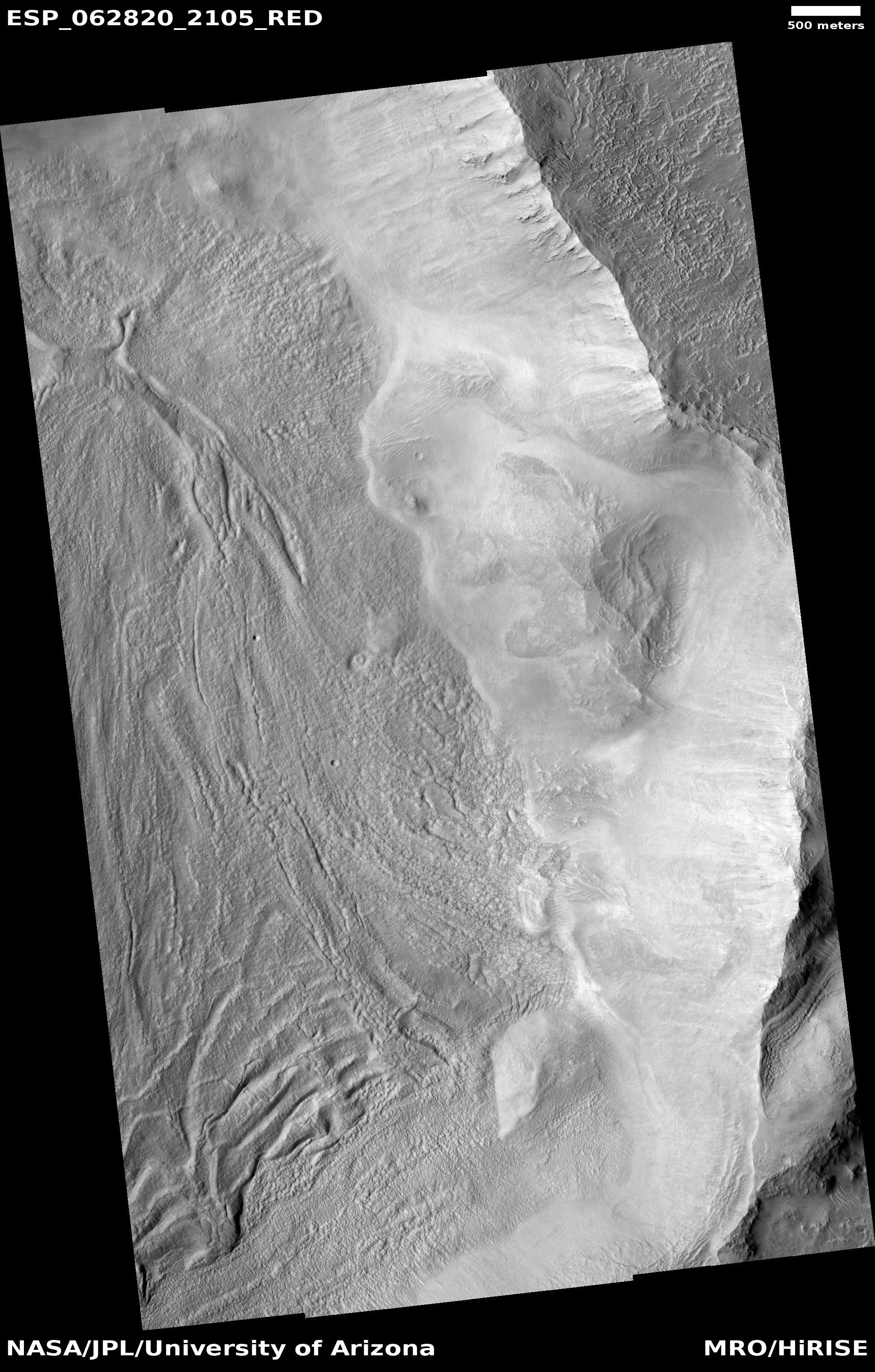
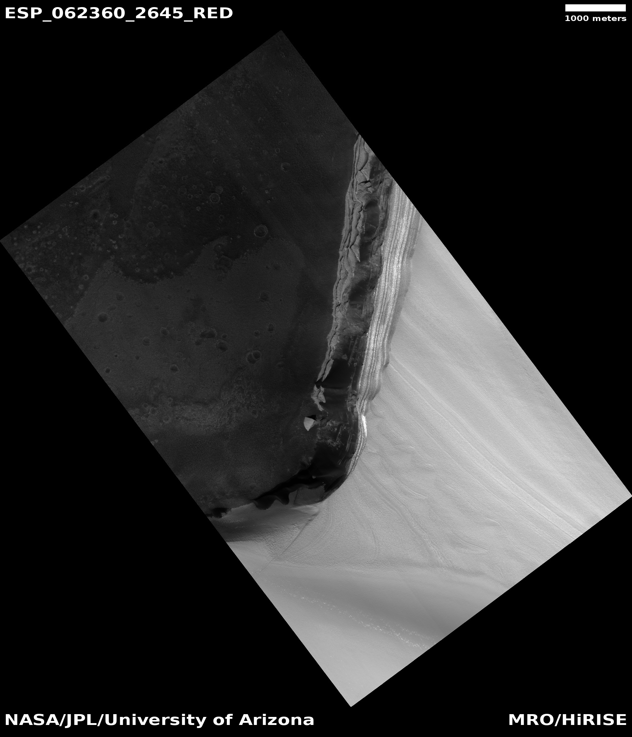
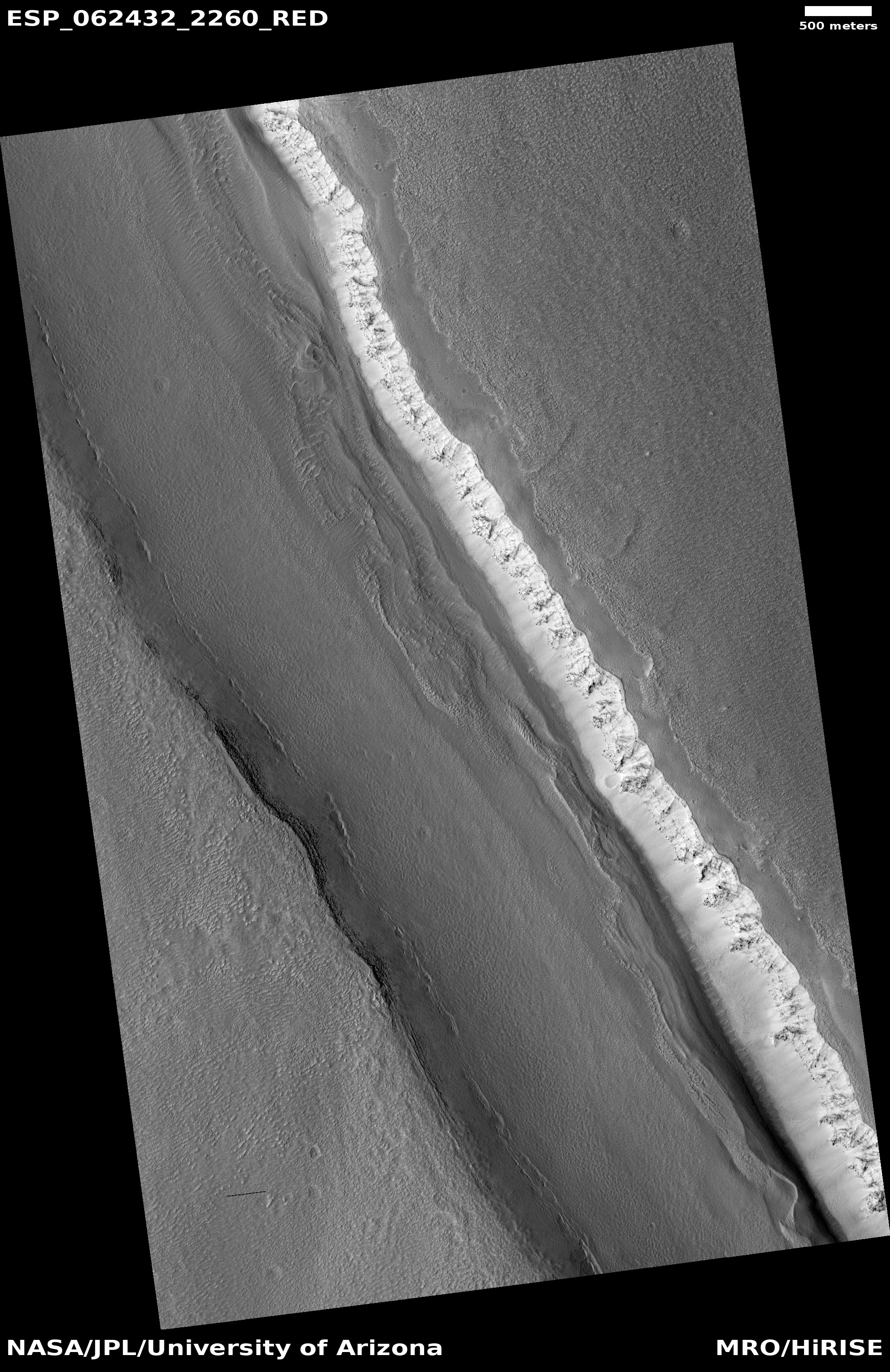
Enclosed Martian canyon, filled with ice
Click for full image.
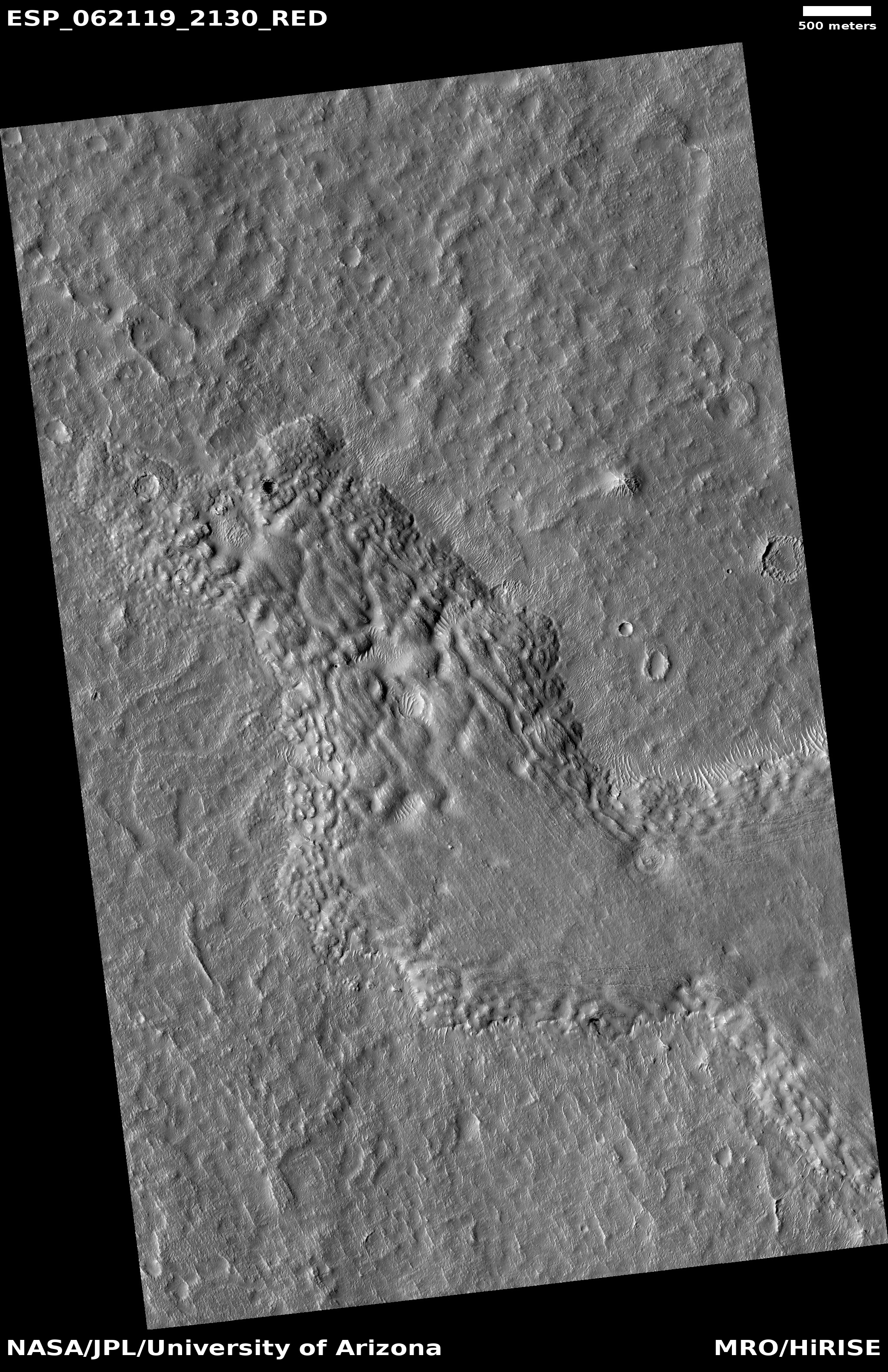
Cool image time! The photo on the right, rotated, cropped, and reduced to post here, was taken by the high resolution camera on Mars Reconnaissance Orbiter on November 21, 2019. The uncaptioned image was simply entitled “Ice-filled Graben.”
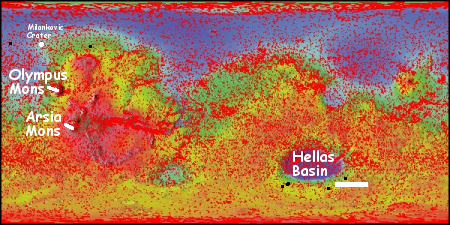
The location is on the lower flanks of the giant volcano Alba Mons, which in itself sits north of Olympus Mons and the volcanic Tharsis Bulge. The canyon is called a graben because it was formed when a section of the crust slips downward along parallel faults. It does not have the features of a rill, or lava flow, as it starts and stops suddenly. It probably formed due to the rise of the volcano, pulling apart its flanks along faults, causing some sections then to slip downward.
How do the scientists know this is ice-filled? I suspect they have other data that indicates the presence of water, but there are also clear features inside this canyon that resemble the glacial features found elsewhere on Mars. For example, note the parallel lines near the canyon walls. These indicate past surface levels as well as layers within the ice from cyclic climate processes. The line of pits along the southwest wall, where the surface gets more sunlight, also suggests that this sunlight is causing more ice to sublimate away.
Finally, the graben is located at 46 degrees north latitude, definitely far enough north for such ice to exist, based on ample other research.