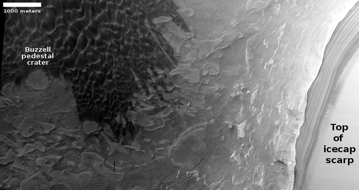
Martian plateaus and buttes
Click for full image.
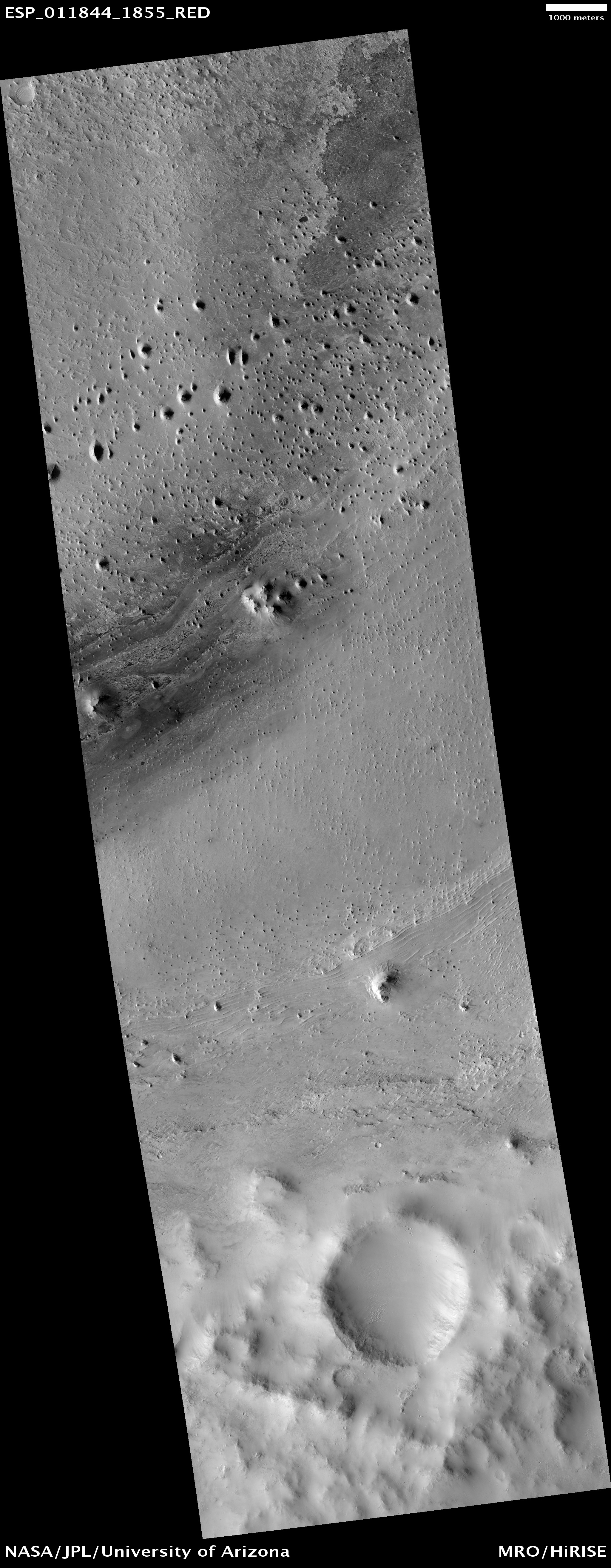
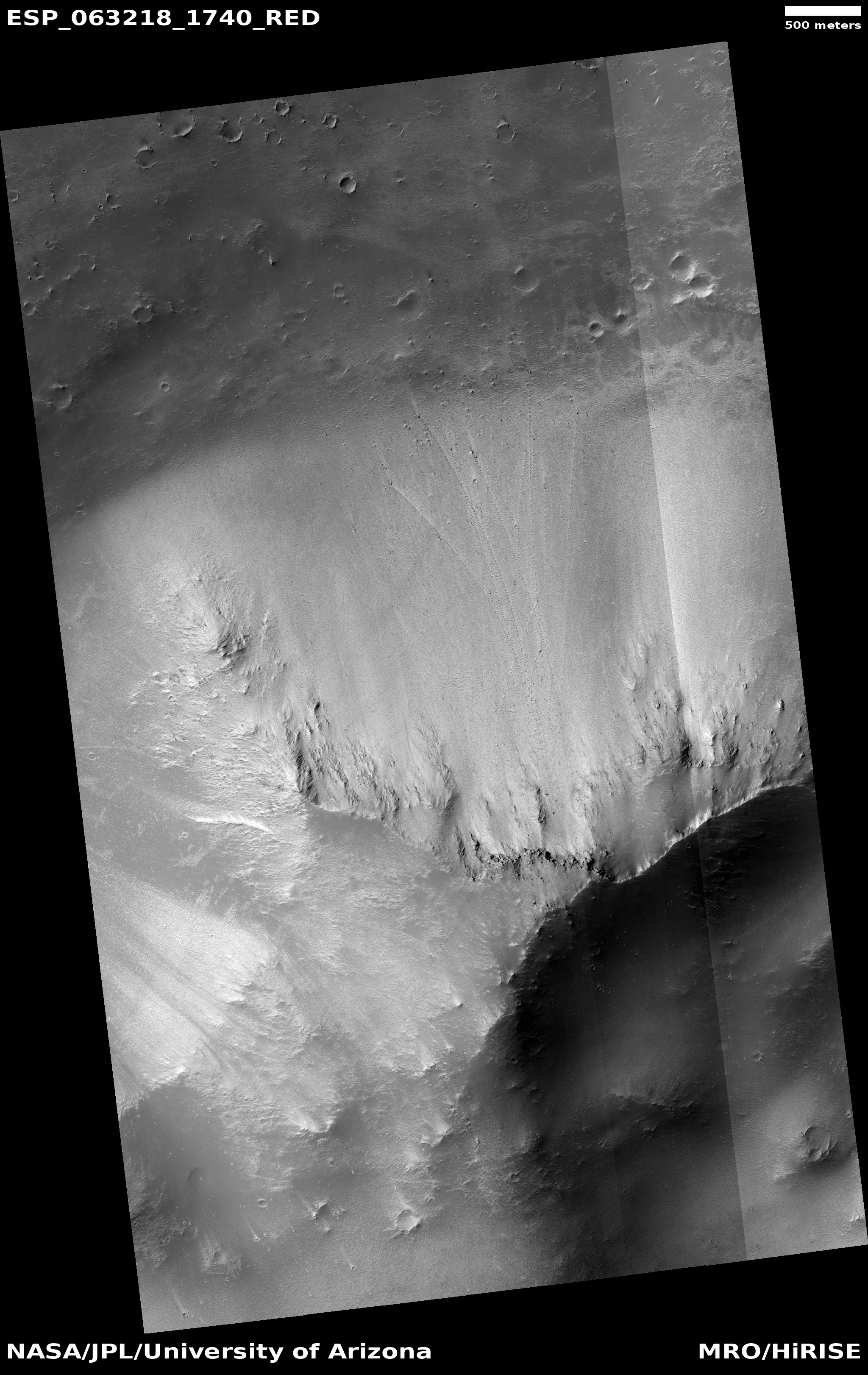
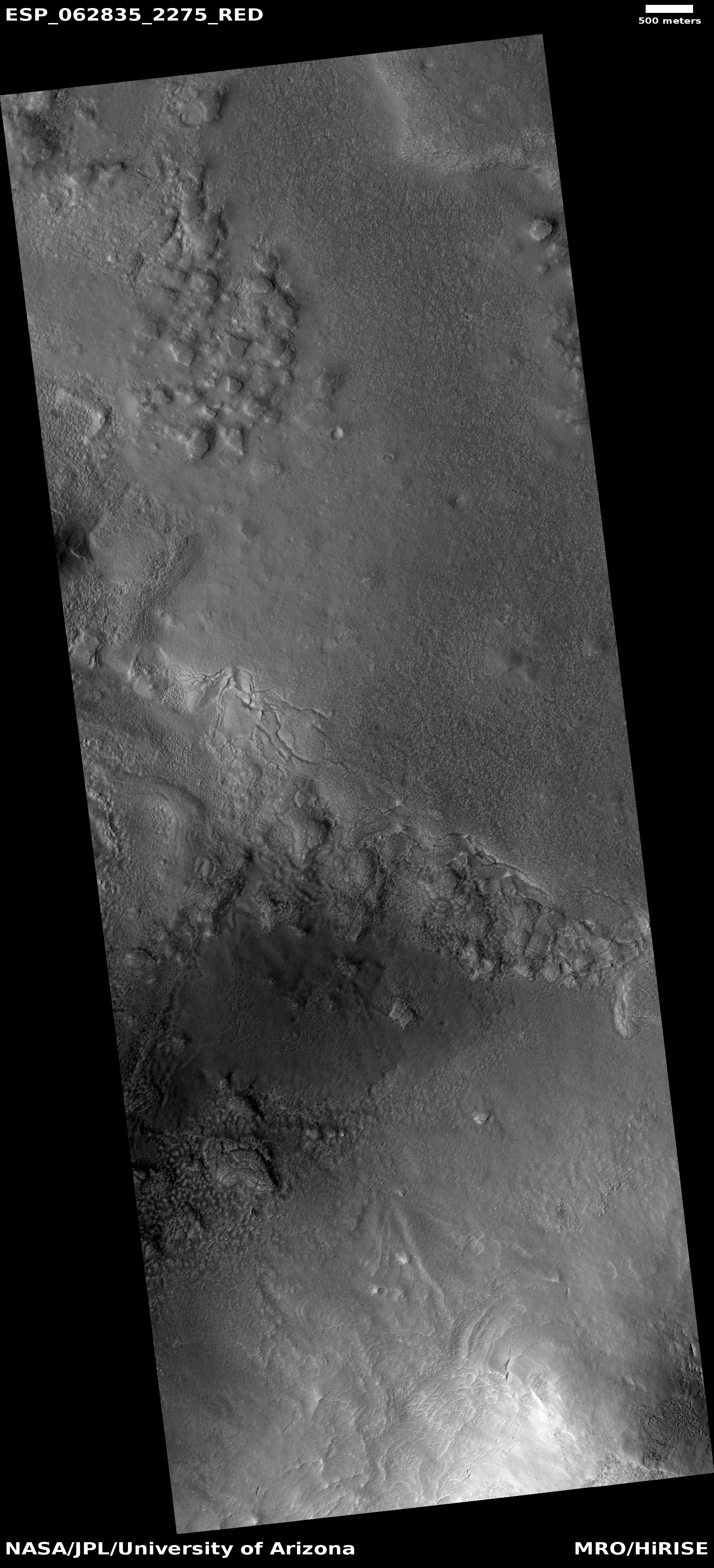
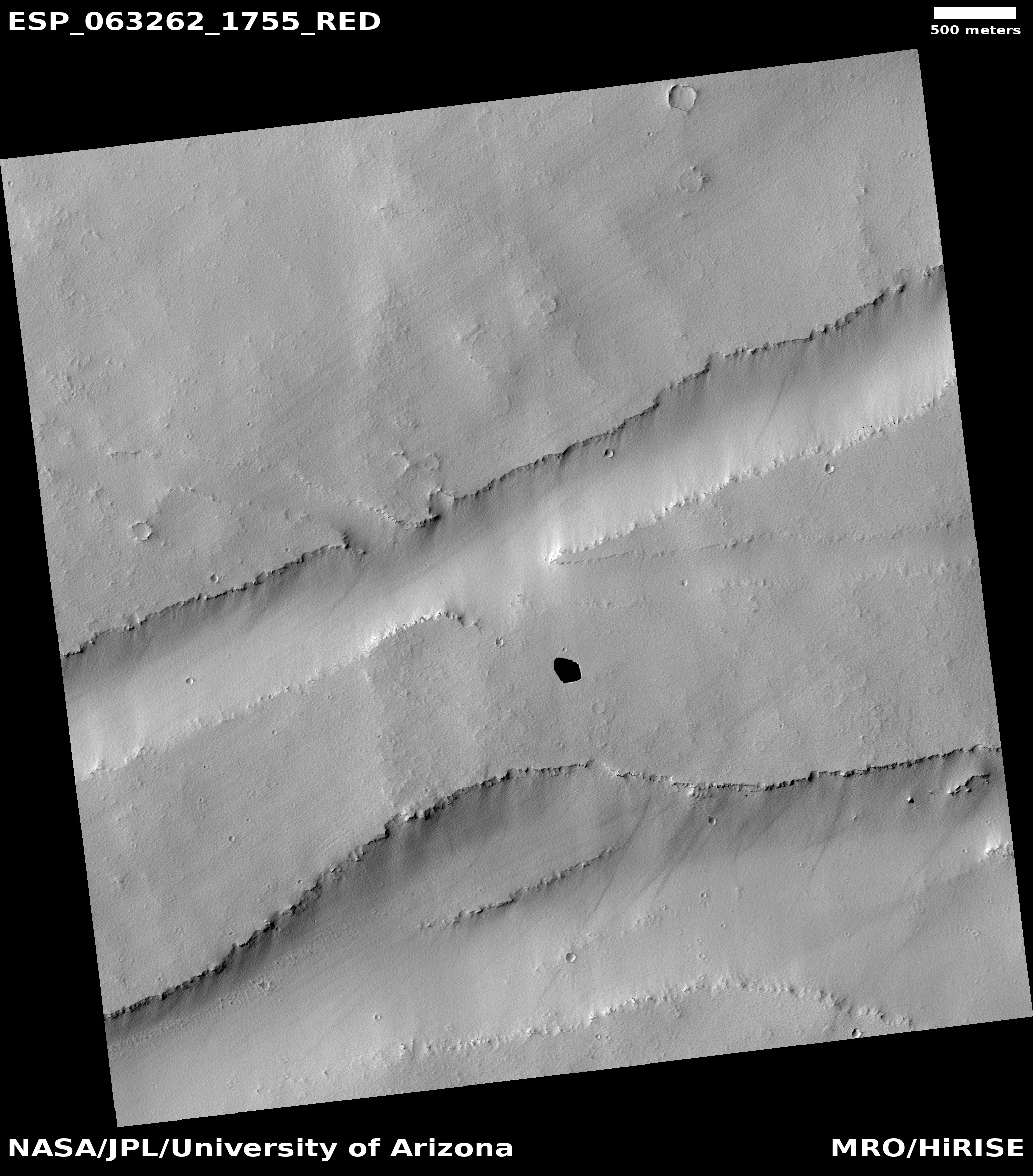
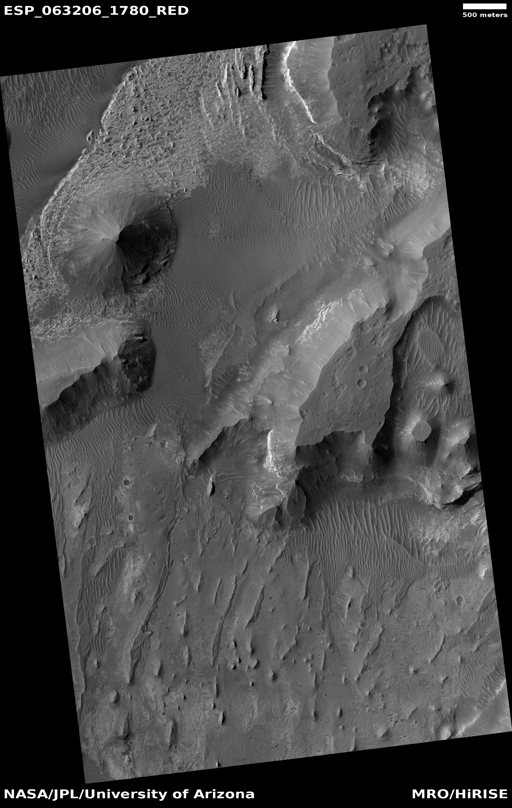
Cool image time! Rather than sit in cowering fear, as it appears too many worldwide are doing, I am going to stay calm and carry on. The photo to the right, rotated, cropped, and reduced in resolution to post here, was taken by the high resolution camera on Mars Reconnaissance Orbiter (MRO) on January 20, 2020. It shows a small section of a region dubbed Iani Chaos, a terrain dubbed such by scientists because of its cracked and chaotic nature, flat-topped mesas cut by canyons and fissures.
Chaos terrain is generally found in the transition zones on Mars between its southern highlands and northern lowlands. It was formed over time by erosion processes, either liquid water or ice, that slowly washed out the material along fault-lines, leaving mesas behind. This particular spot in Iani Chaos appears to be late in this process, with the gaps between the buttes wide and many of the mesas worn down into pointy knobs.
The location of Iani Chaos, as shown in the map below, tells us much about its history.
» Read more