
Spring arrives on the northern polar cap of Mars
Click for full image.
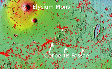
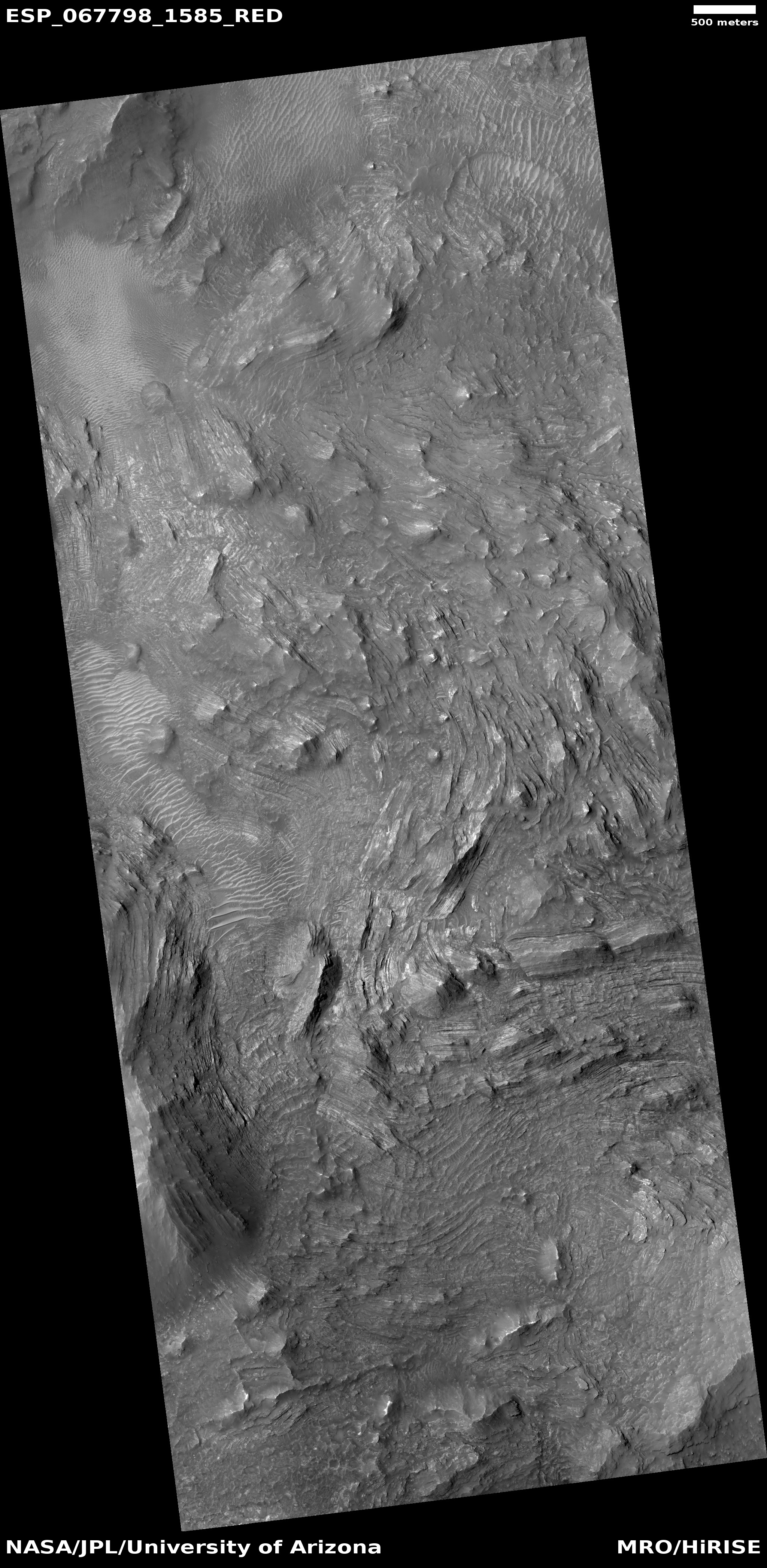
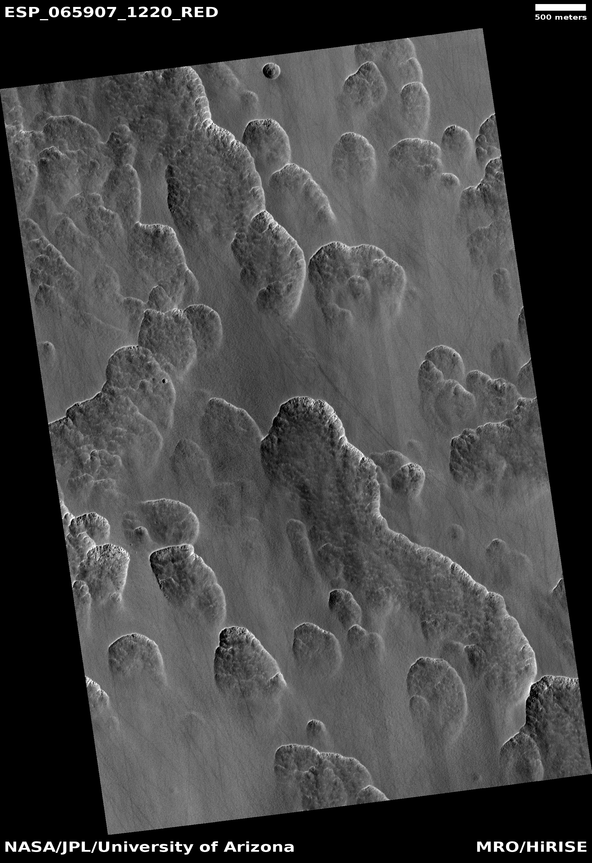
Cool image time! It is now spring in the northern hemisphere of Mars, and the first bits of sunlight are finally reaching its north polar ice cap. During the winter, as happens each Martian year, that polar cap of water ice gets covered by a thin mantle of dry ice no more than six feet thick. Moreover, this mantle doesn’t just cover the ice cap, it extends south as far as about 60 degrees latitude, covering the giant sea of dunes that surrounds the ice cap.
When spring comes that mantle begins sublimate away, with its base first turning to gas. When the pressure builds up enough, the gas breaks out through the frozen mantle’s weakest points, usually the crest or base of dunes or ridges, leaving behind a dark splotch caused by the material thrown up from below that contrasts with the bright translucent dry ice mantle.
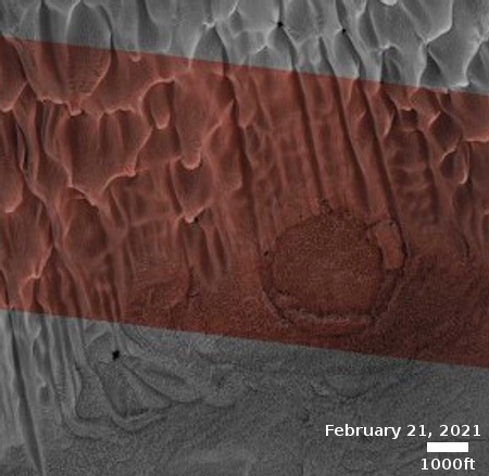
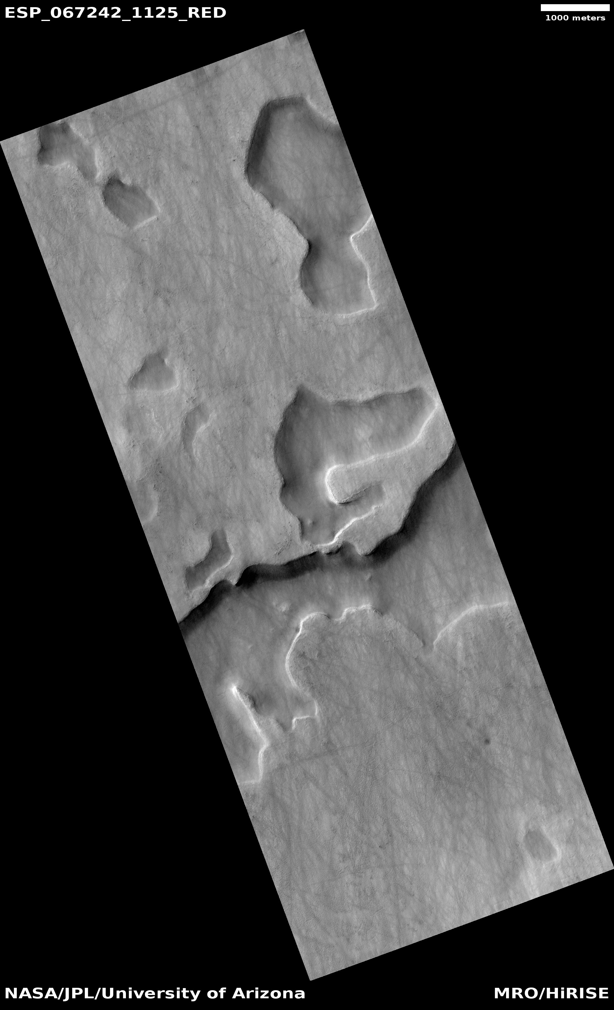
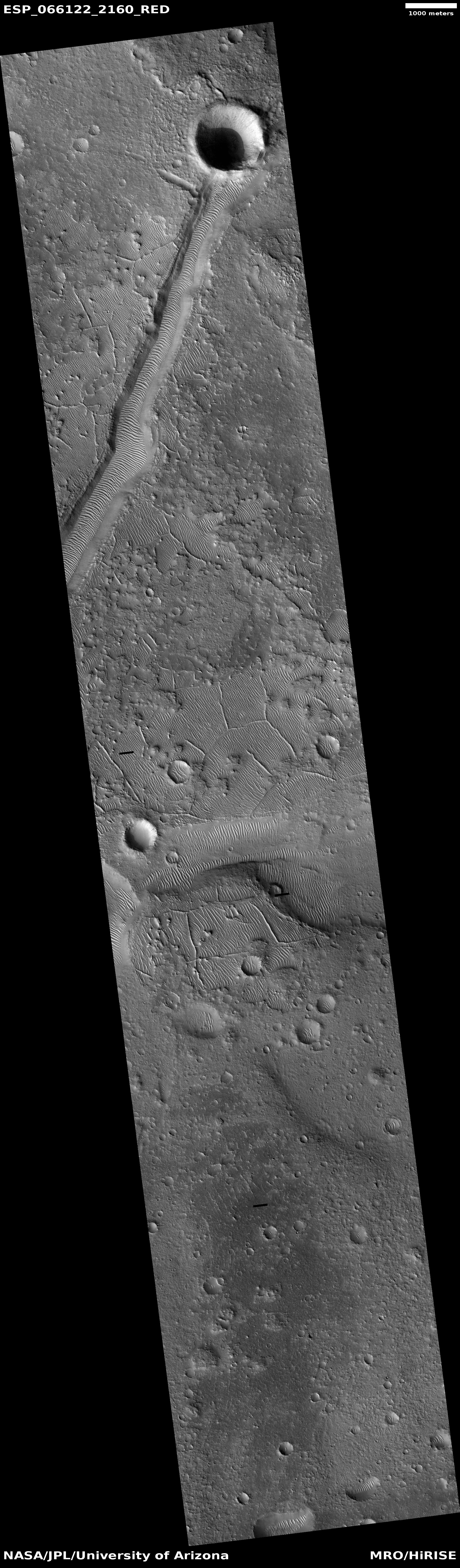
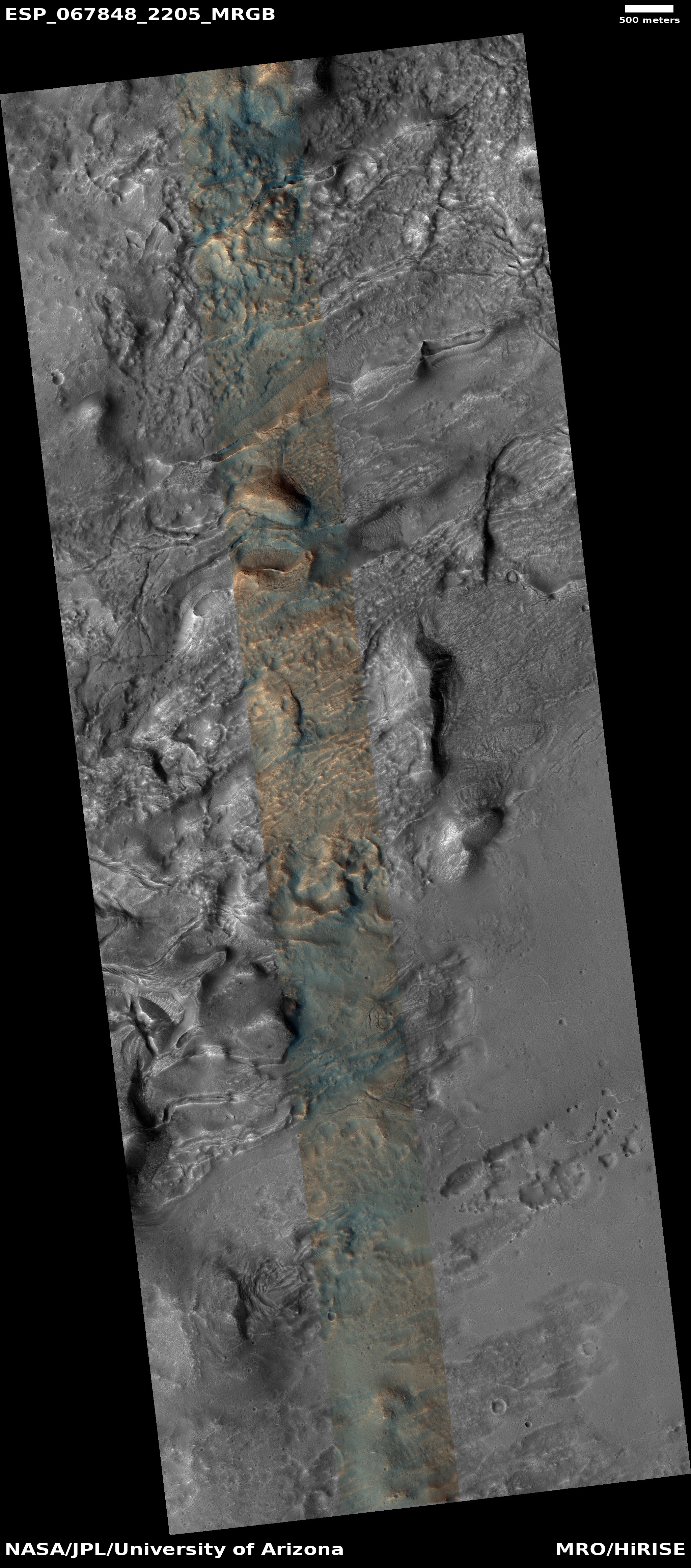
Each year for the past decade scientists have been using the high resolution camera on Mars Reconnaissance Orbiter (MRO) to monitor this sublimation process. The photo above, taken on February 24, 2021 and cropped, enlarged, and brightened to post here, marks the start of this year’s monitoring program. Dubbed informally “Buzzell” by Candice Hansen of the Planetary Science Institute in Arizona, it shows dunes with a round pedestal crater just right of center. Though almost everything when this picture was taken is still covered by that dry ice mantle, in the lower left is a single splotch, the first breakout of CO2 gas that marks the beginning of the annual disappearance of this dry ice.
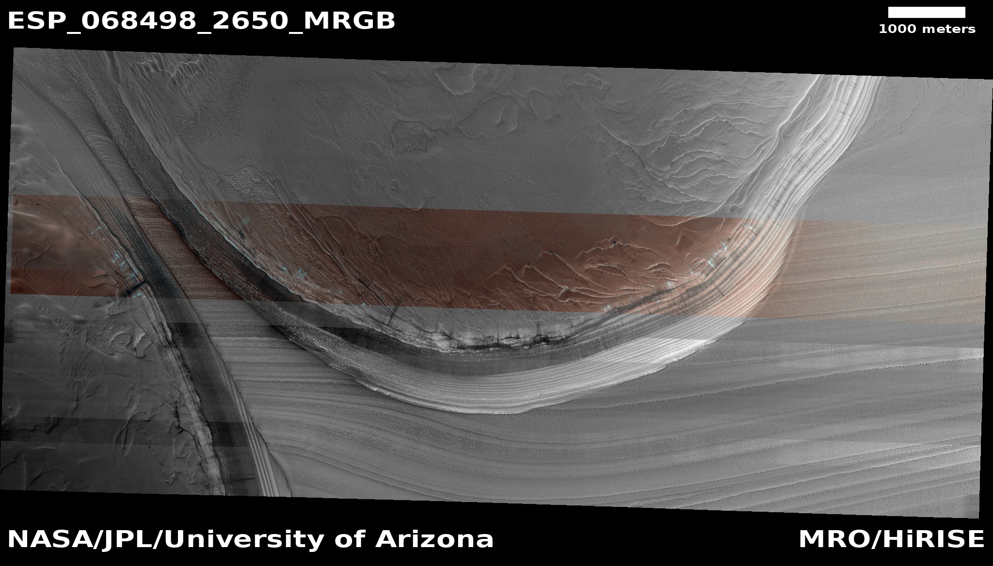
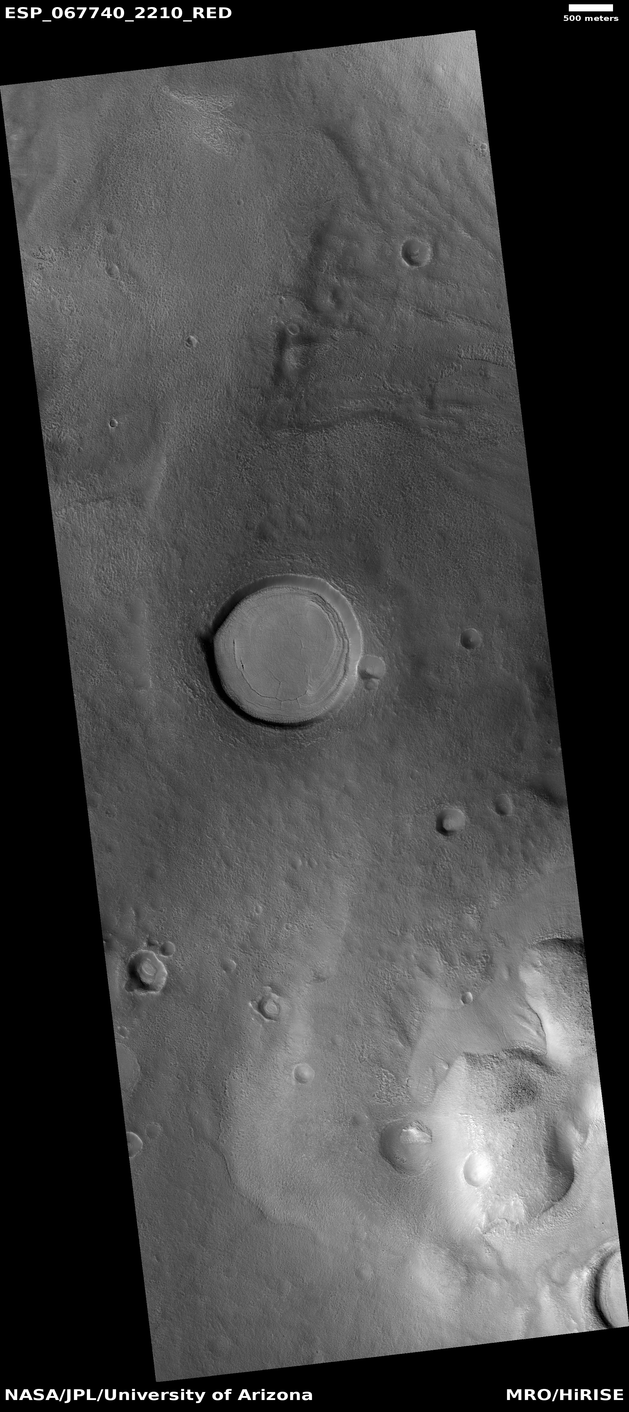
Last Martian year I repeatedly posted images of Buzzell to illustrate this annual process. The second image below was taken on April 4, 2019, at about the same comparable time in spring.
» Read more

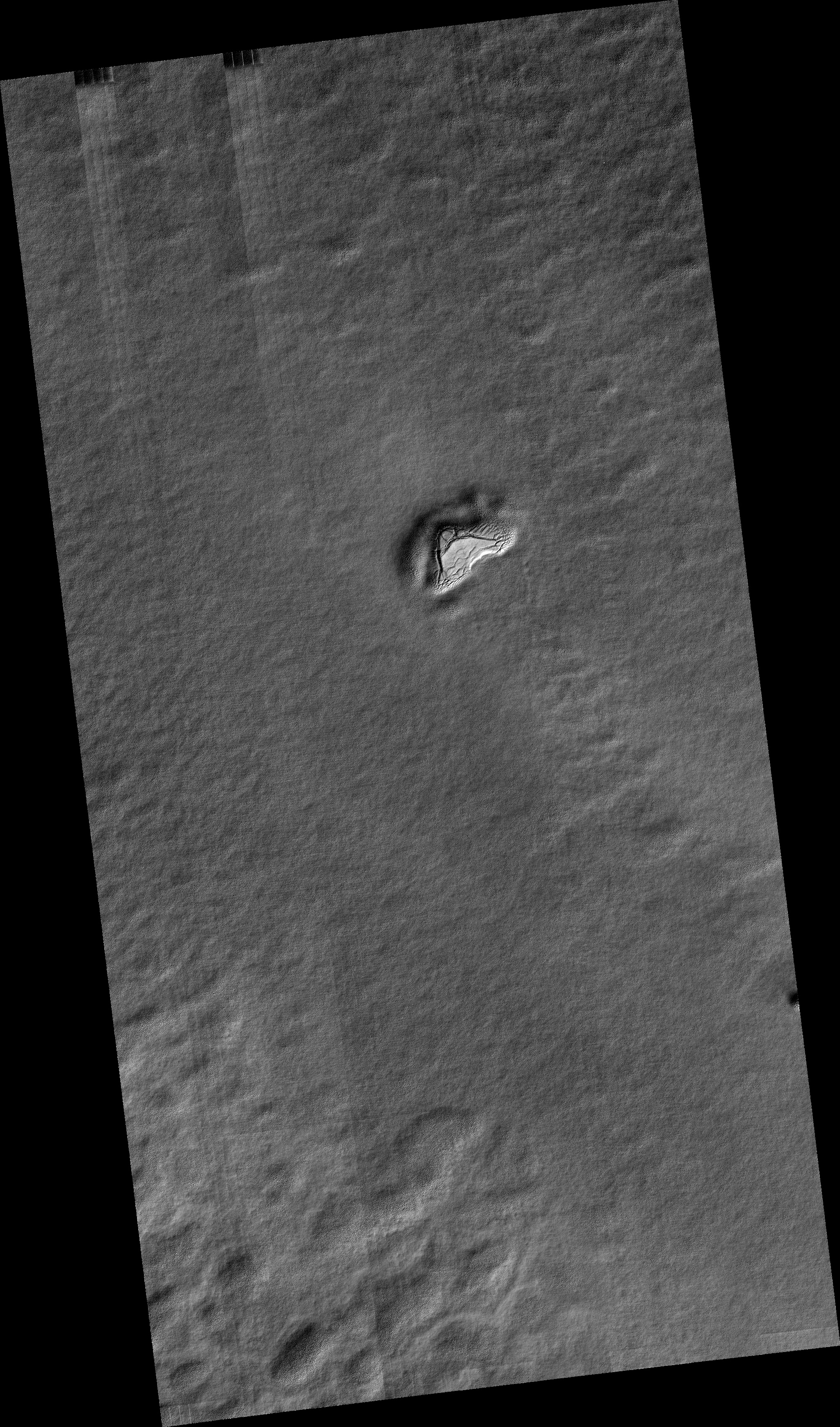
Click for full image.
Cool image time! It is now spring in the northern hemisphere of Mars, and the first bits of sunlight are finally reaching its north polar ice cap. During the winter, as happens each Martian year, that polar cap of water ice gets covered by a thin mantle of dry ice no more than six feet thick. Moreover, this mantle doesn’t just cover the ice cap, it extends south as far as about 60 degrees latitude, covering the giant sea of dunes that surrounds the ice cap.
When spring comes that mantle begins sublimate away, with its base first turning to gas. When the pressure builds up enough, the gas breaks out through the frozen mantle’s weakest points, usually the crest or base of dunes or ridges, leaving behind a dark splotch caused by the material thrown up from below that contrasts with the bright translucent dry ice mantle.
Each year for the past decade scientists have been using the high resolution camera on Mars Reconnaissance Orbiter (MRO) to monitor this sublimation process. The photo above, taken on February 24, 2021 and cropped, enlarged, and brightened to post here, marks the start of this year’s monitoring program. Dubbed informally “Buzzell” by Candice Hansen of the Planetary Science Institute in Arizona, it shows dunes with a round pedestal crater just right of center. Though almost everything when this picture was taken is still covered by that dry ice mantle, in the lower left is a single splotch, the first breakout of CO2 gas that marks the beginning of the annual disappearance of this dry ice.
Last Martian year I repeatedly posted images of Buzzell to illustrate this annual process. The second image below was taken on April 4, 2019, at about the same comparable time in spring.
» Read more


