A verde valley on Mars
Click for original image.
In the southwest where I live, a valley dubbed “verde” (which means “green” in Spanish) is generally a place with a somewhat persistent river with lots of lush plant life. The Verde Valley in Arizona is the perfect example, with “close to 80% of the valley’s land … national forest.”
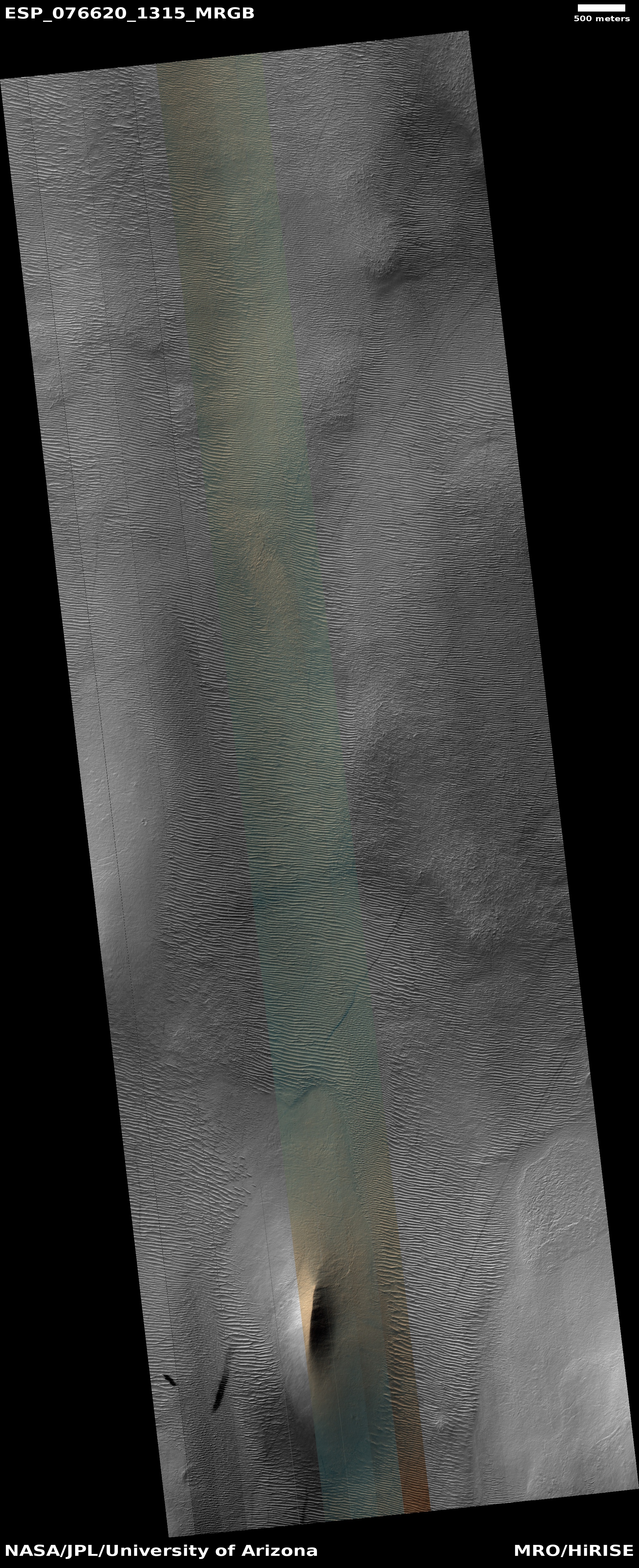
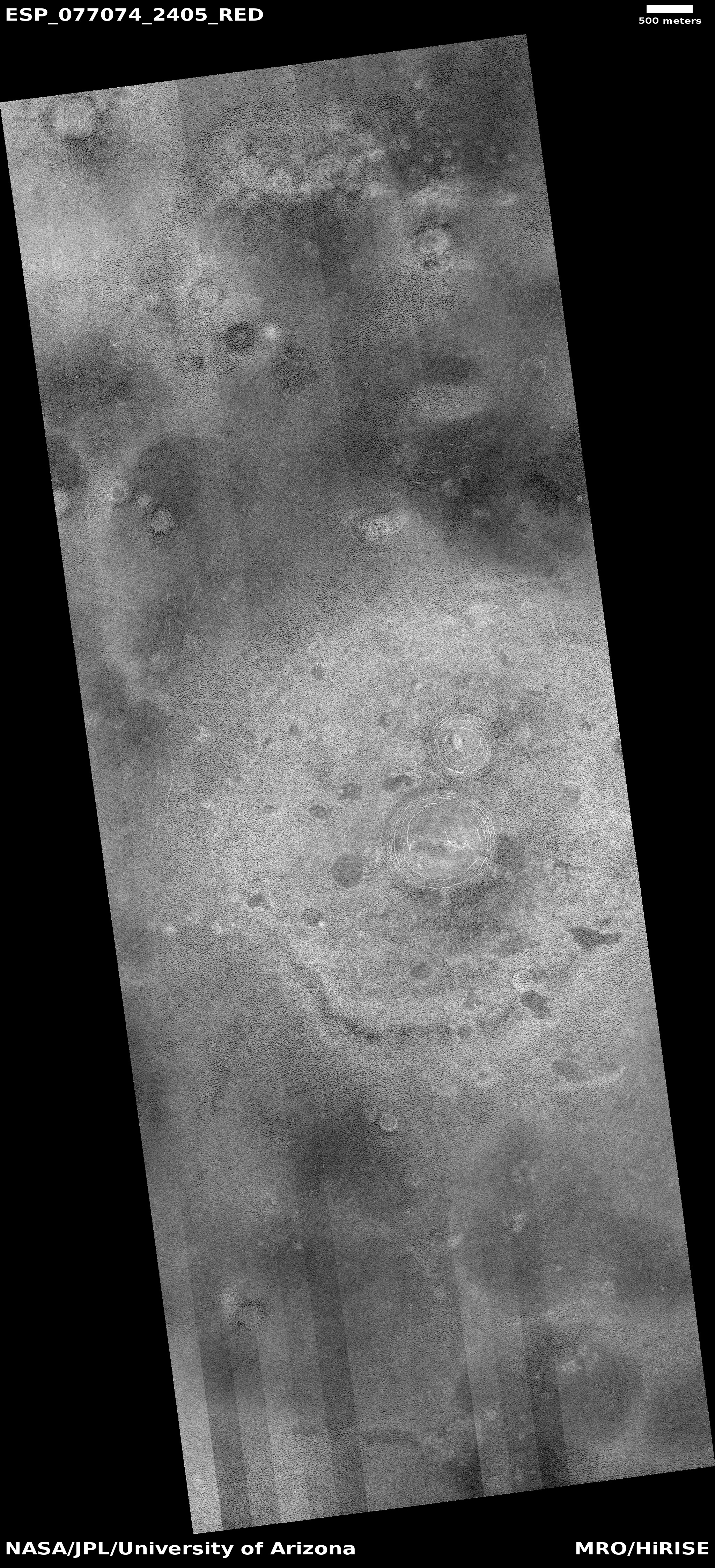
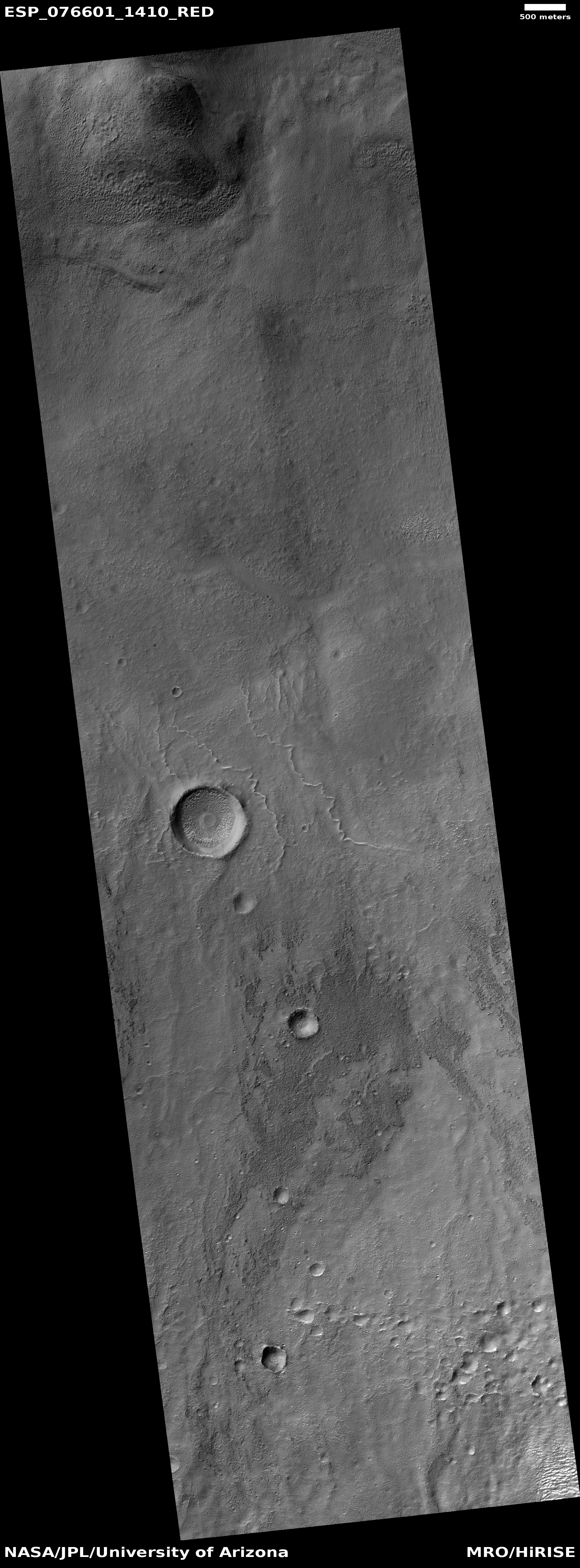
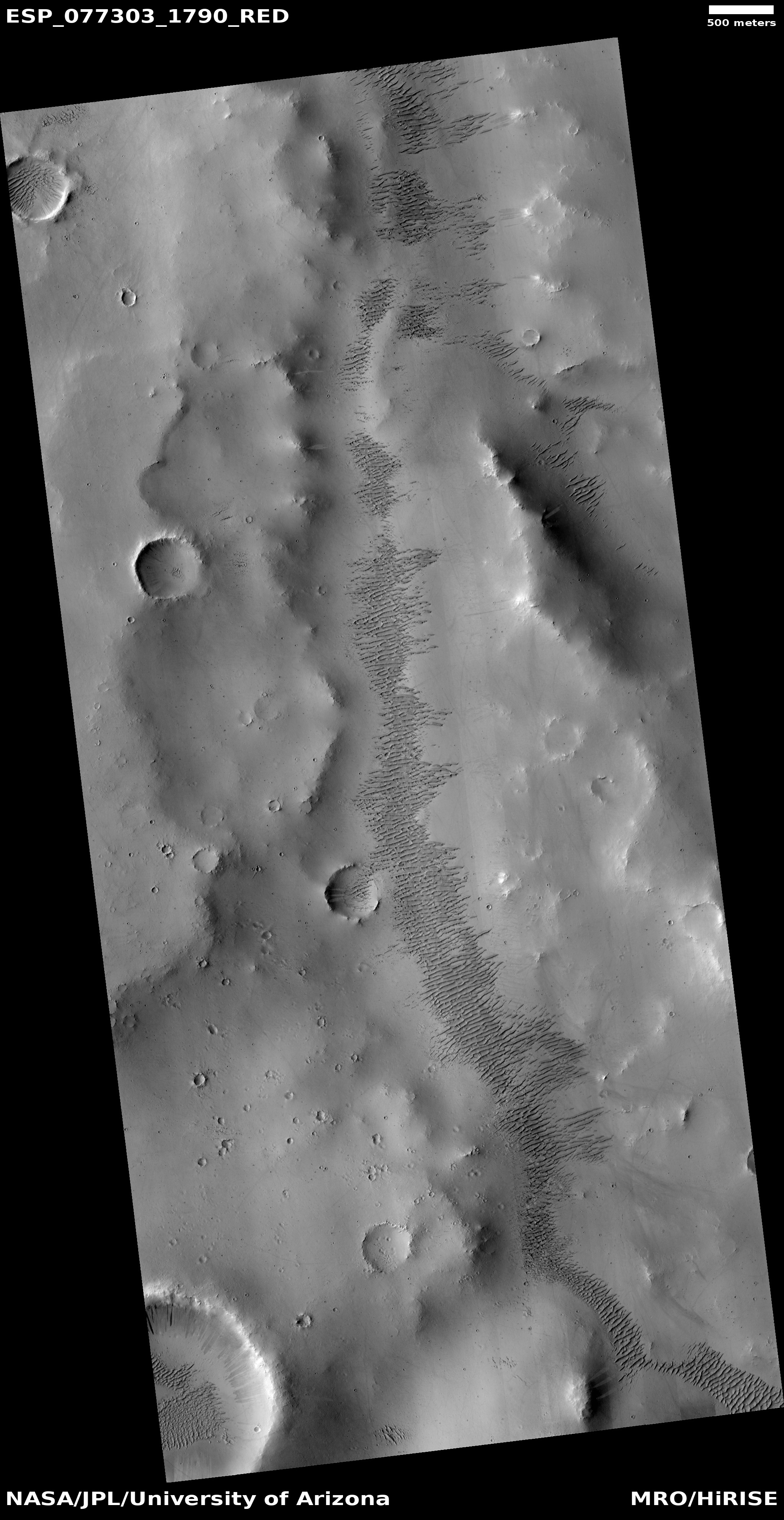
On Mars there is also a verde valley, but the name is not descriptive in the least. The picture to the right, rotated, cropped, and reduced to post here, was taken on January 22, 2023 by the high resolution camera on Mars Reconnaissance Orbiter (MRO) and shows one section of the Martian Verde Vallis, draining south to north.
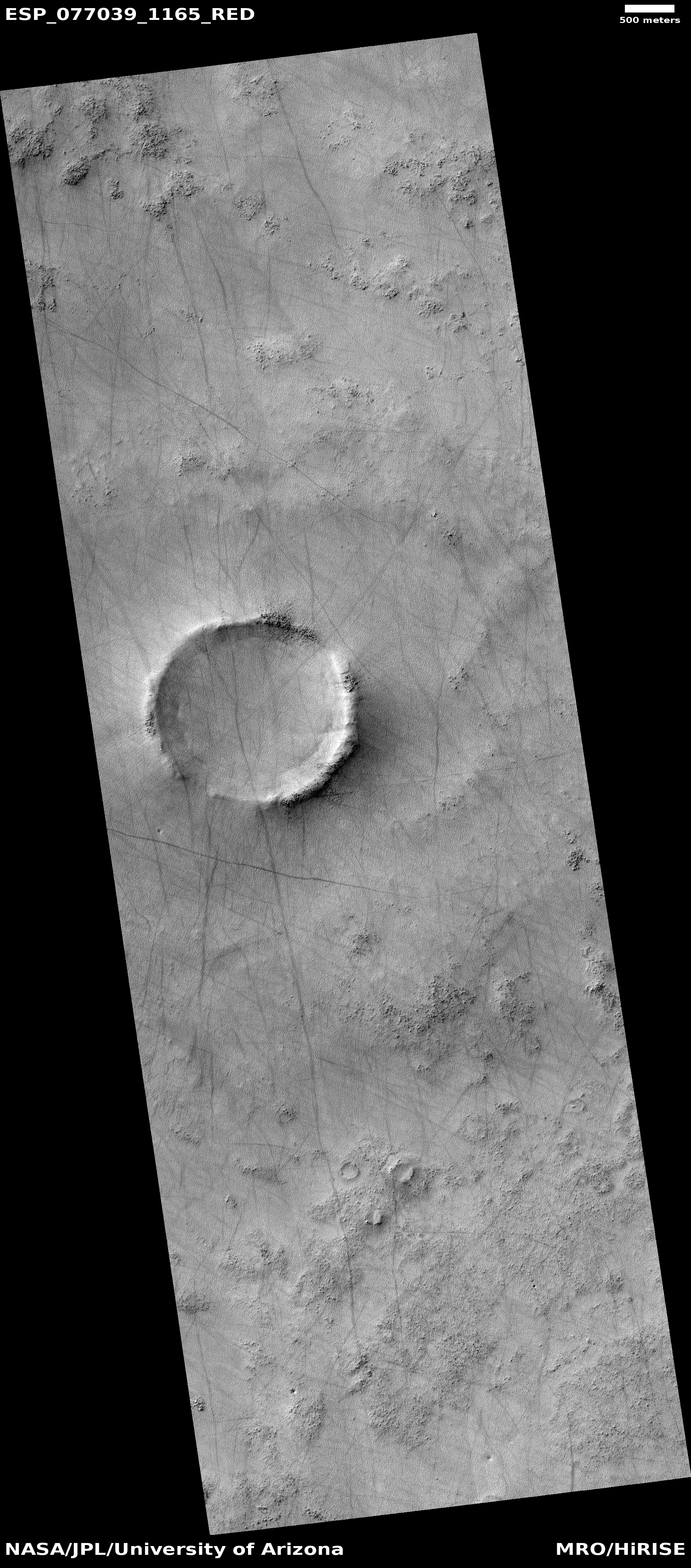
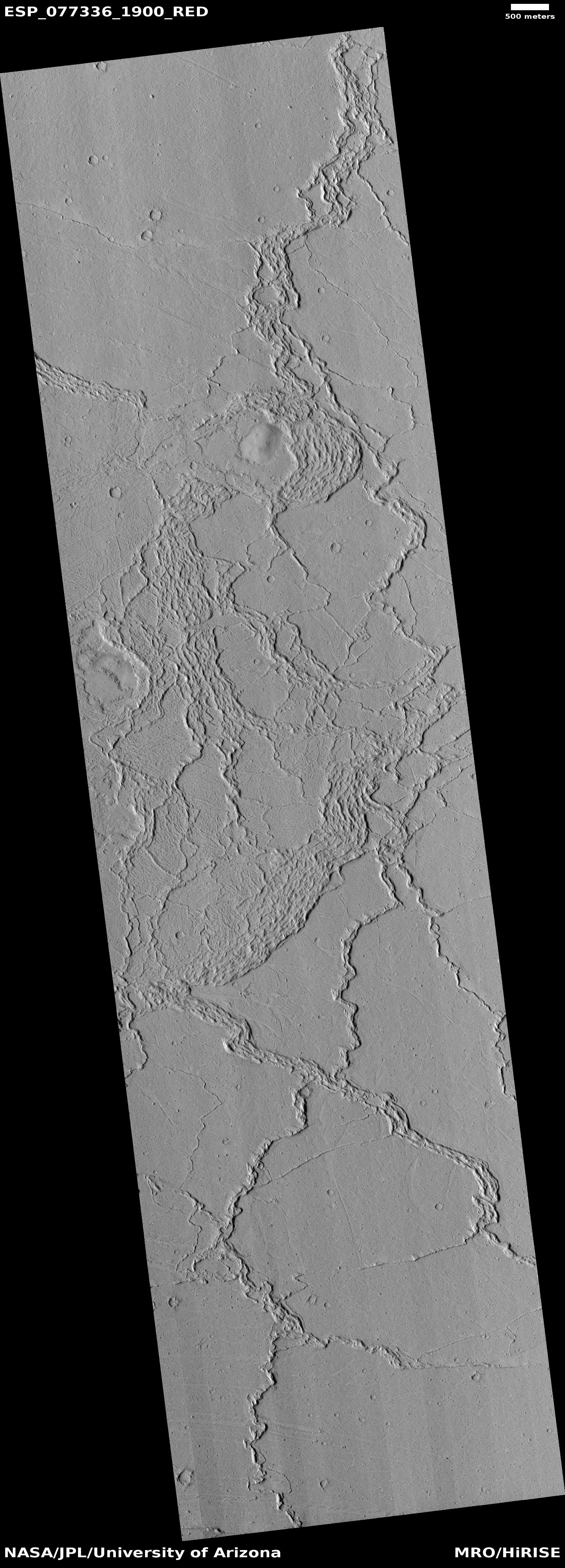
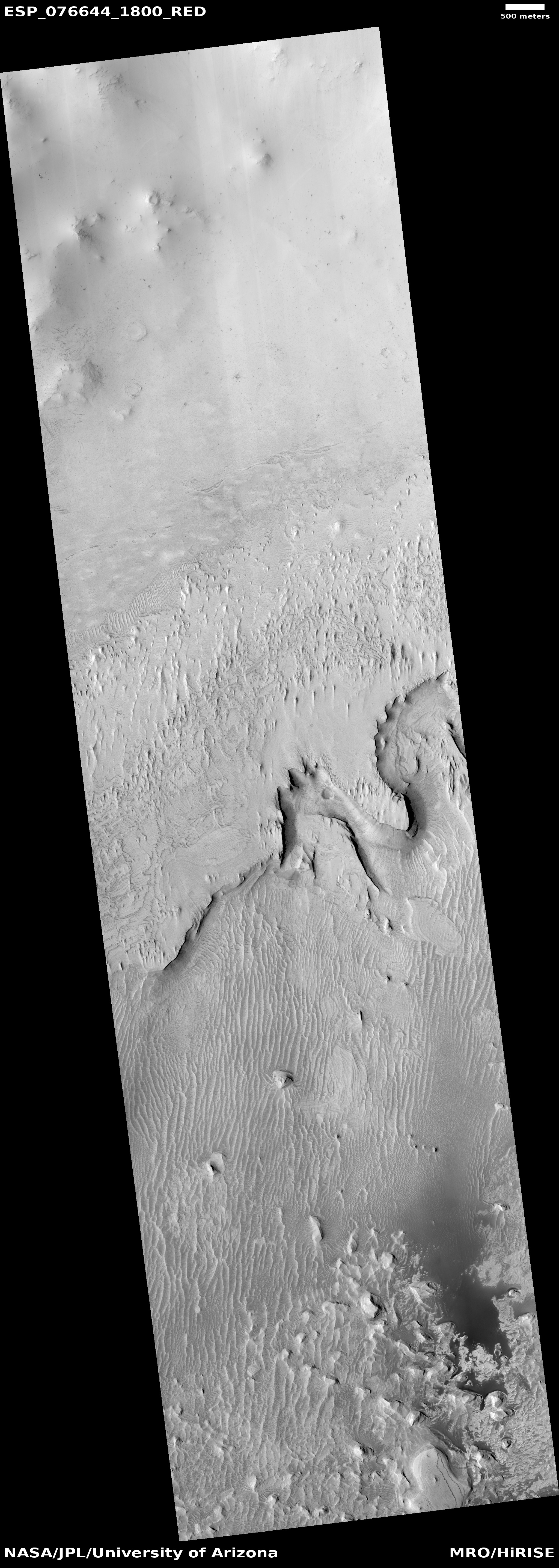
The dark rippled patches inside this shallow canyon are sand dunes. In fact, though MRO has not taken many high resolution images of Verde Vallis, every one shows the valley with further patches of ripple dunes. See for example this image of a section of the valley just a bit farther north.
» Read more