
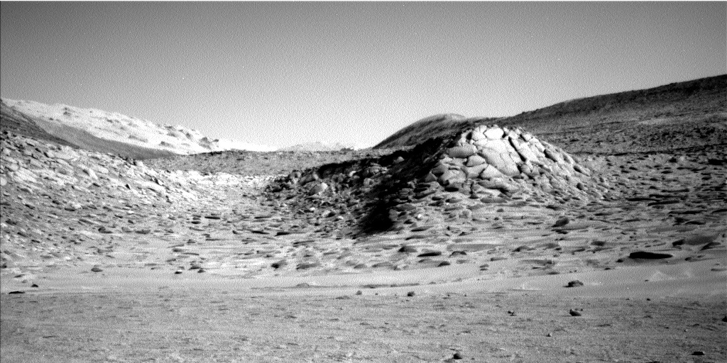
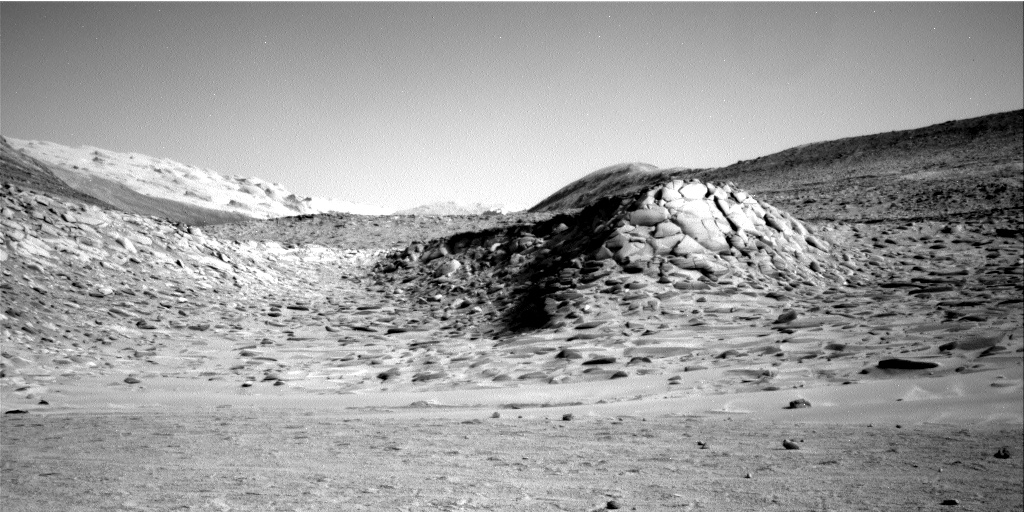
Razor butte on Mars
Click for original image.
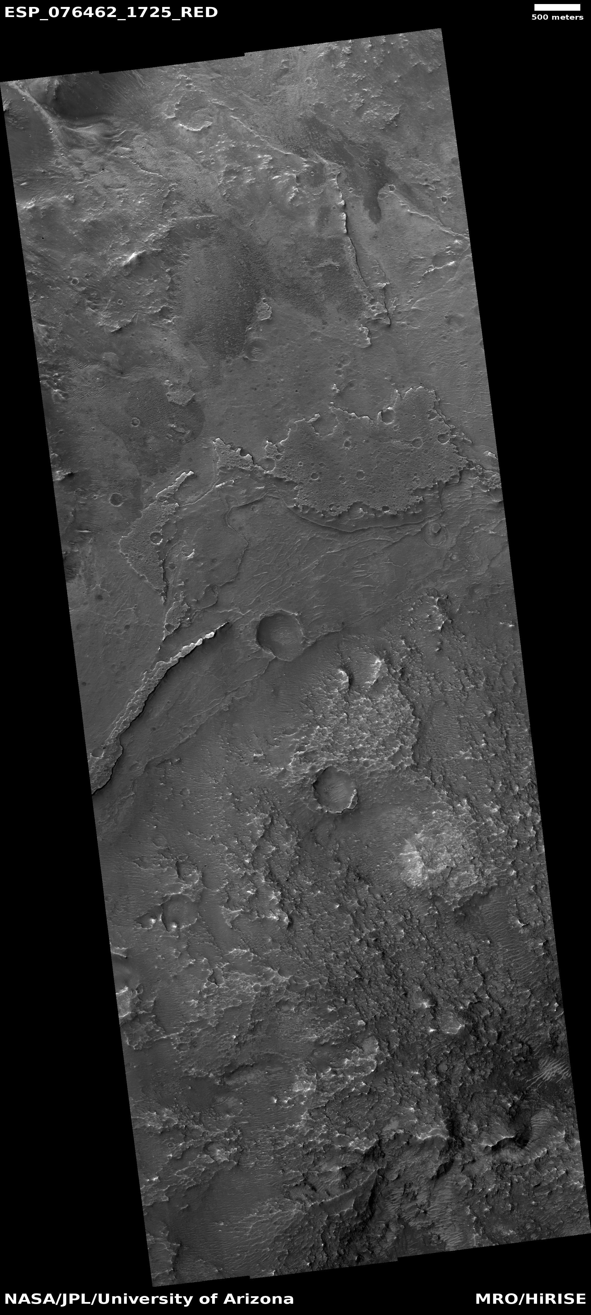
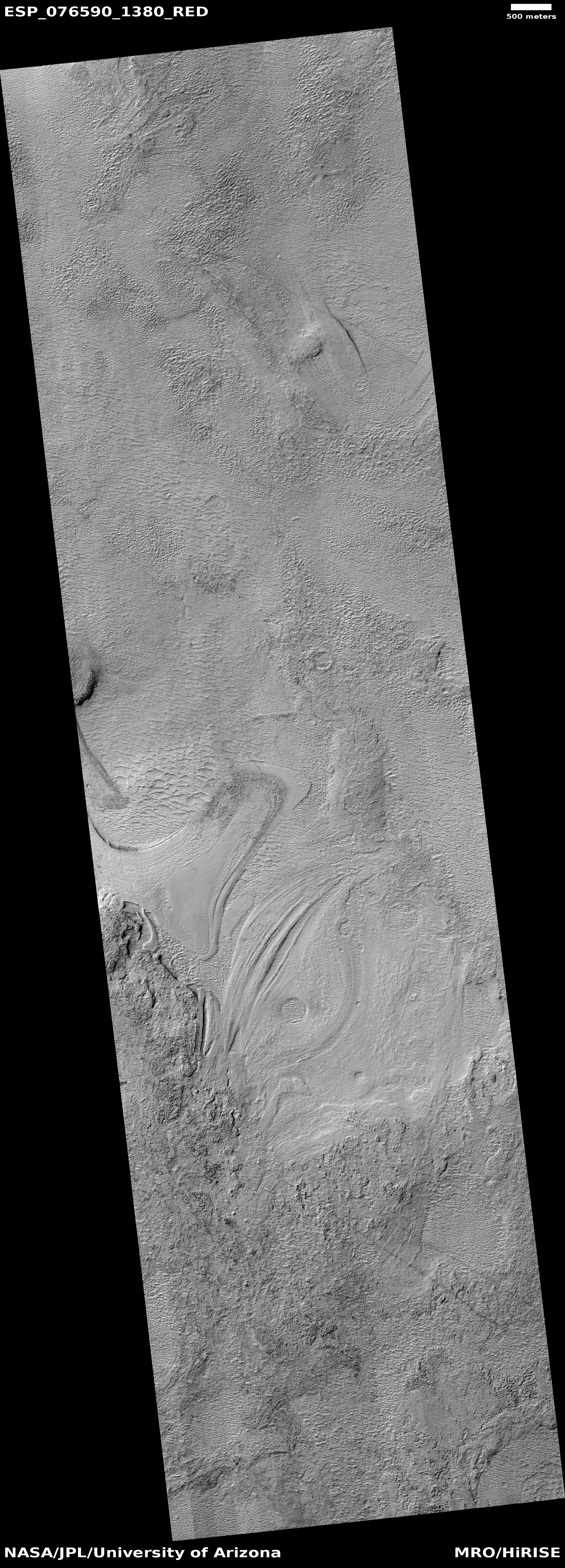
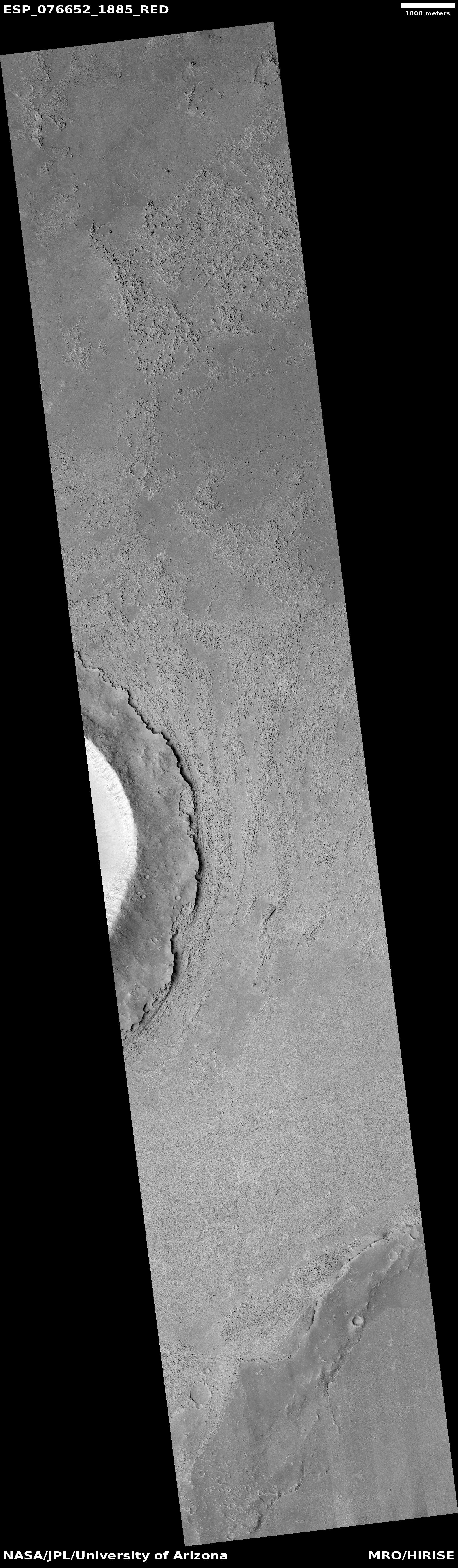
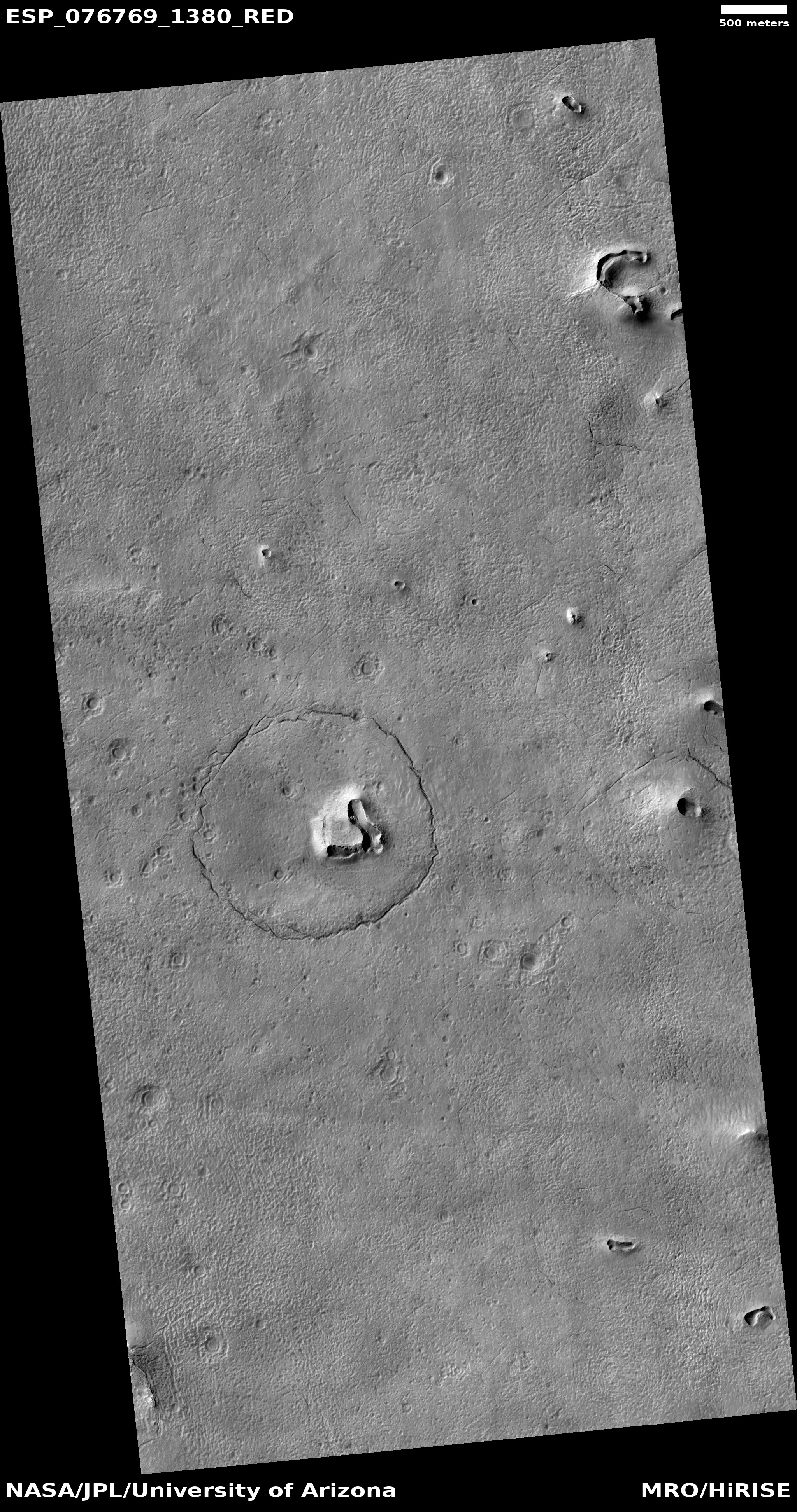
Cool image time! The picture to the right, cropped, reduced, and sharpened to post here, was taken on November 18, 2022 by the high resolution camera on Mars Reconnaissance Orbiter (MRO). The science team labeled this image “Inverted Channel and Possible Lake Deposits.” The sharp razor-like butte, which I estimate is about 200 to 400 feet high, is an example of the several inverted channels in the full image. The serrated-edged flat plateau at the top of this picture, one of several in the full image, is an example of those possible lake deposits.
Why do the scientists think a lake might have once been here? Located at 8 degrees north latitude in the dry equatorial regions of Mars, there is almost certainly no near surface ice here now.
As always, the overview map provides the context, and a possible explanation.
» Read more


