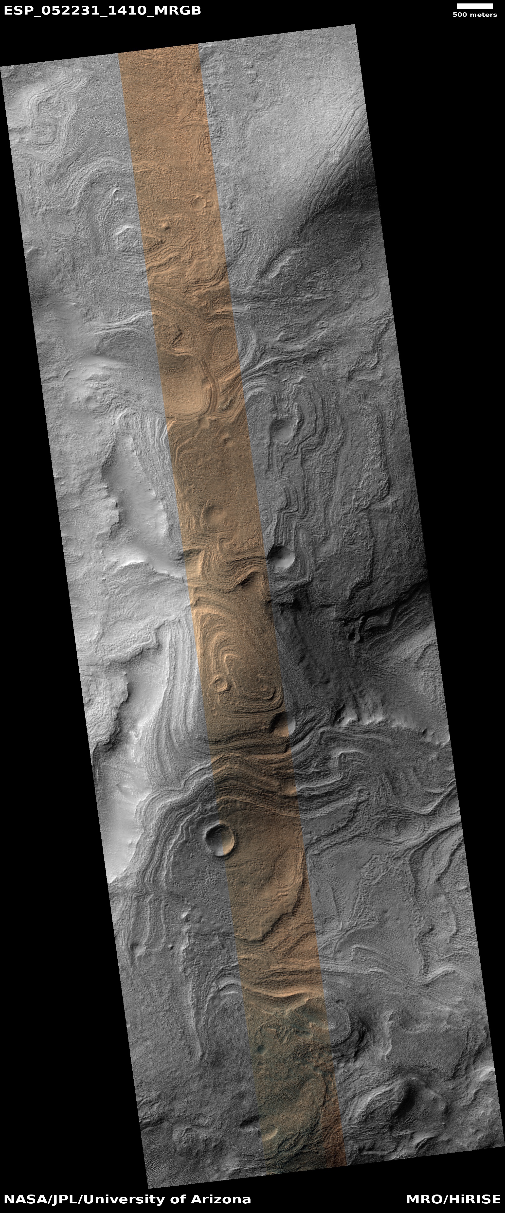
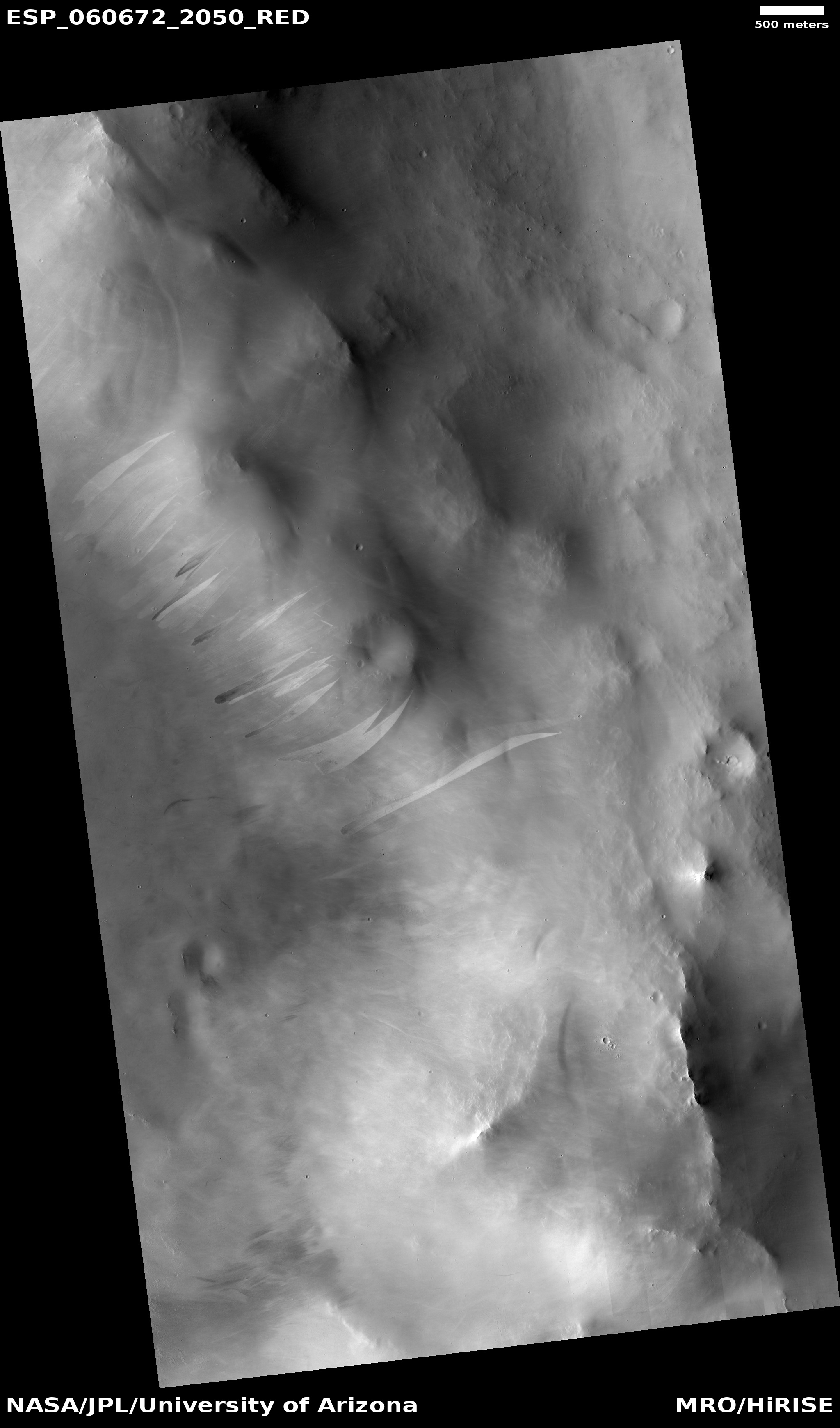
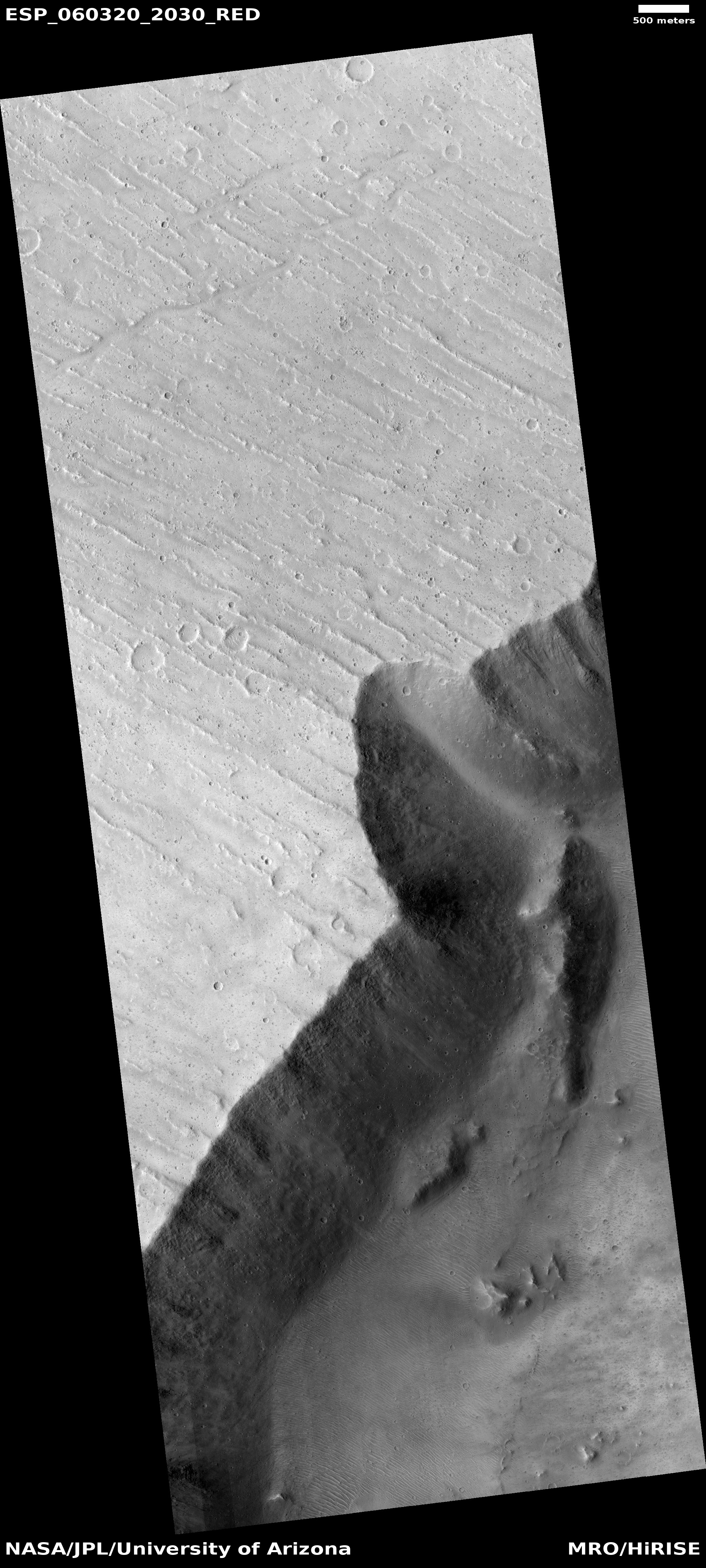
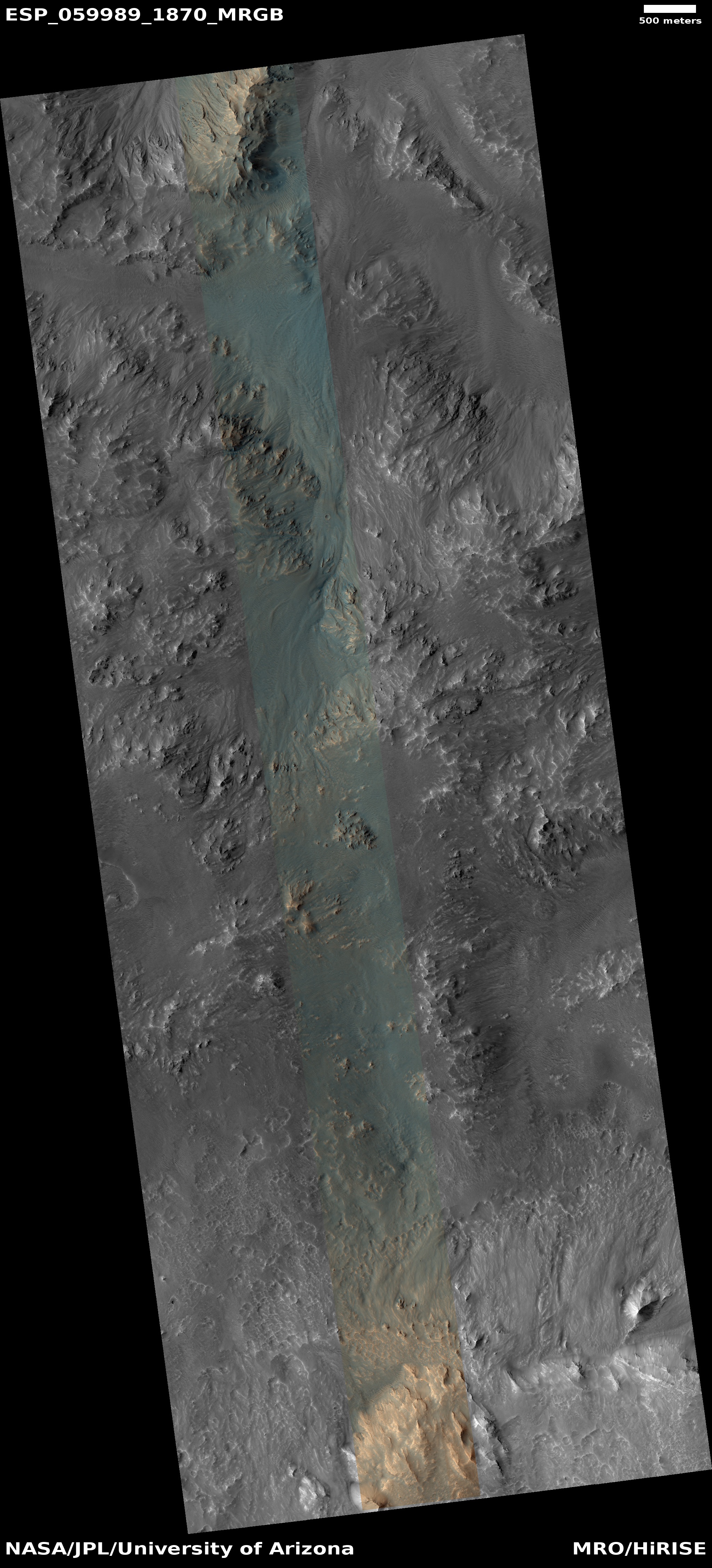
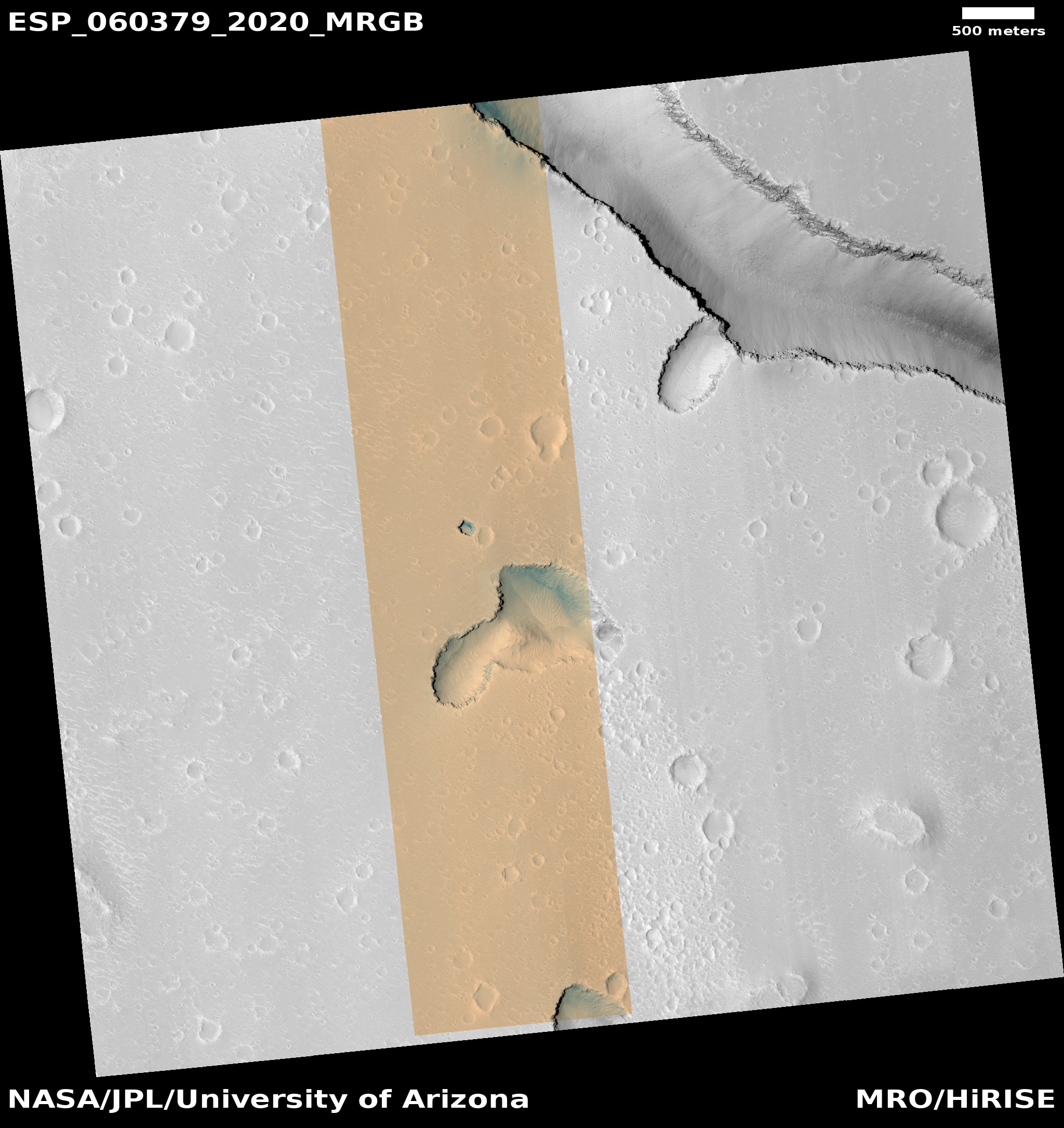
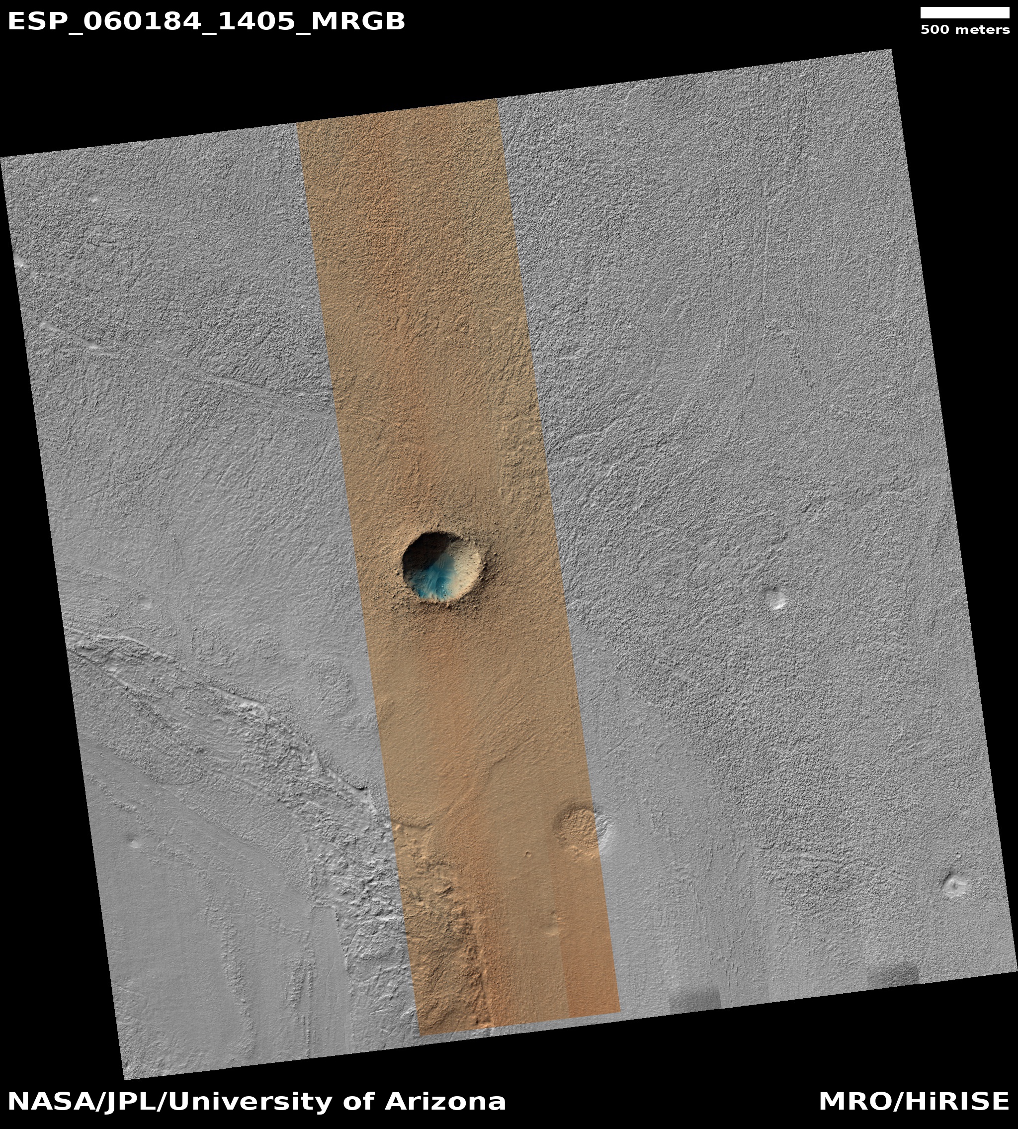
The slowly changing dunes of Mars

Map of Mars

In order to better understand the climate and geology of Mars, scientists need to study how the thin Martian atmosphere causes changes to the planet’s numerous sand dunes. To do this, they have been using the high resolution camera on Mars Reconnaissance Orbiter (MRO) to periodically snap photos of the same places repeatedly over time, to track any changes that might occur.

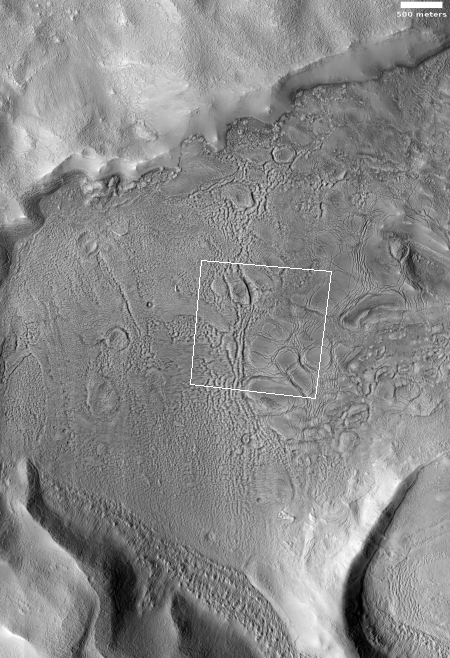
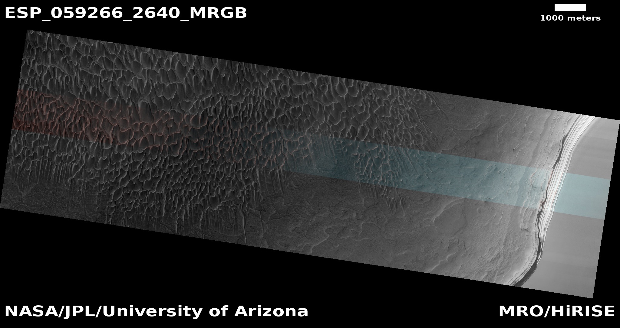
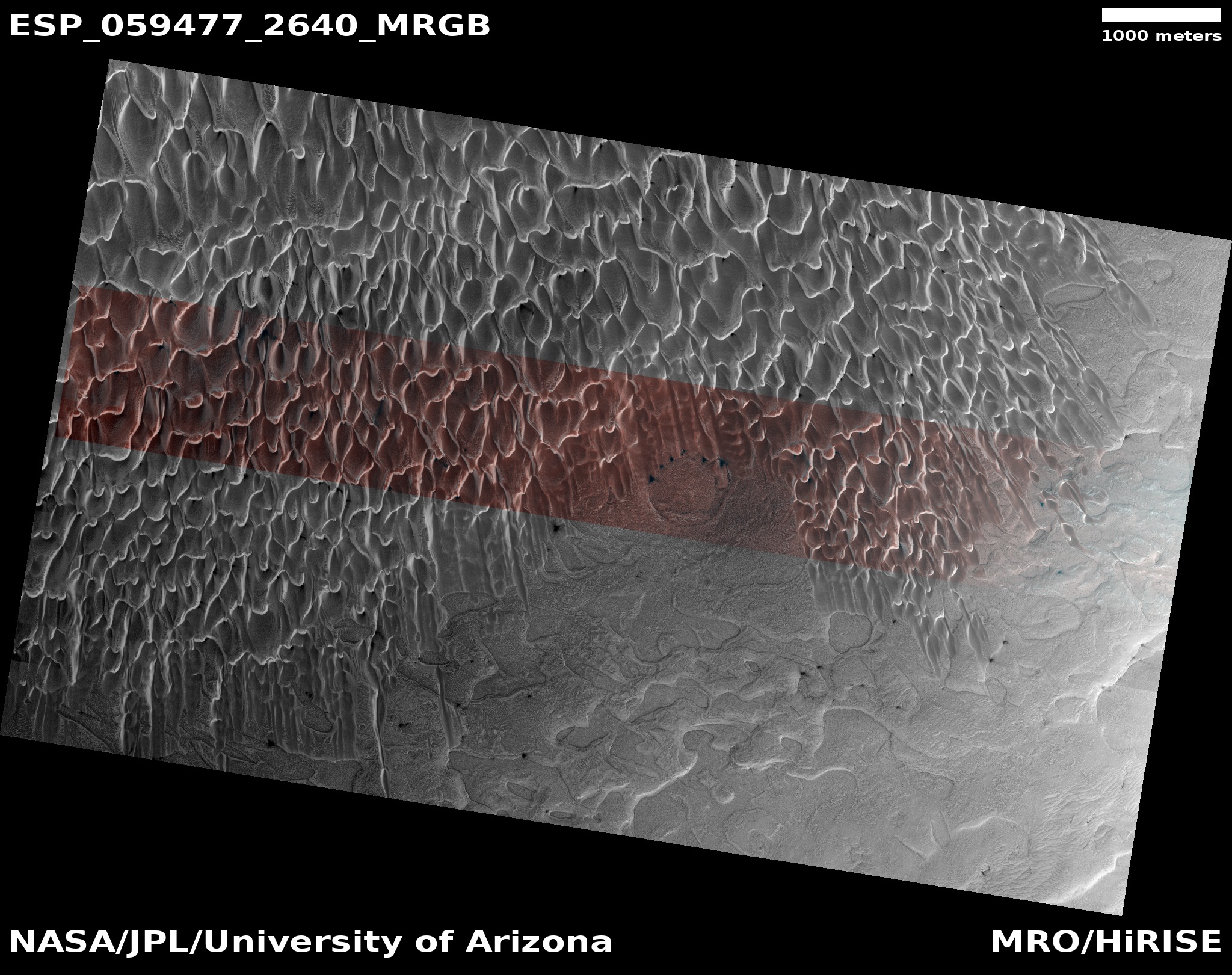
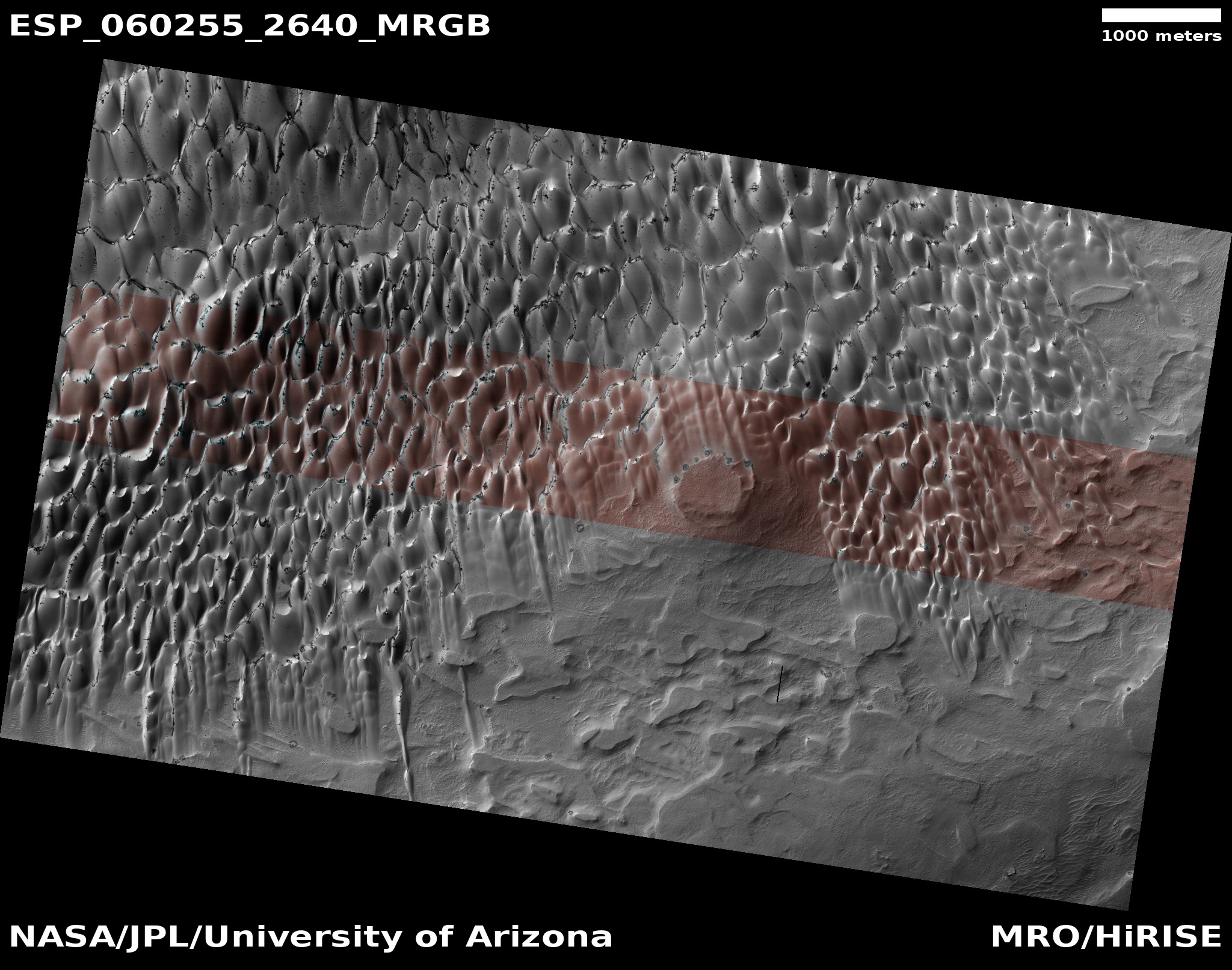
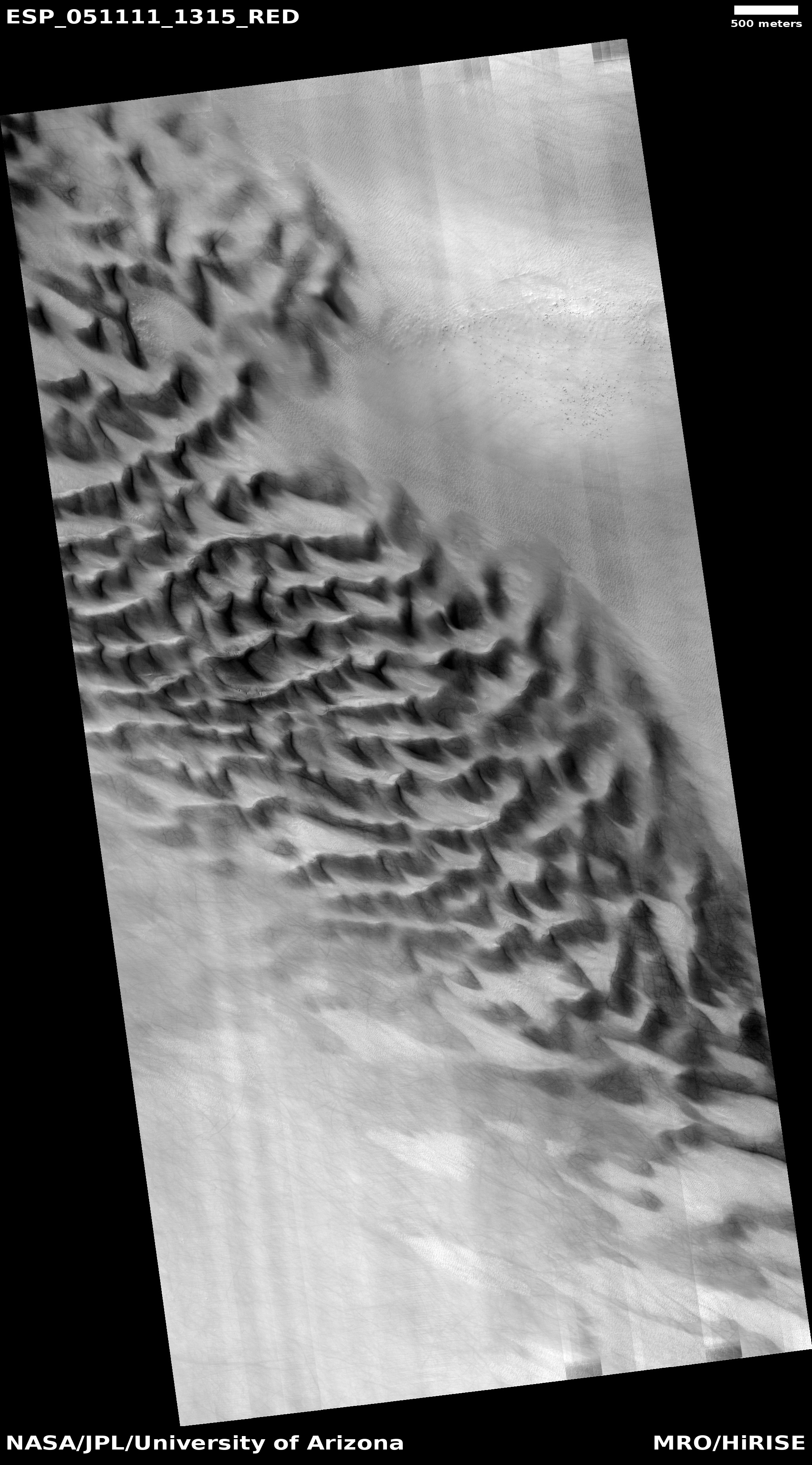
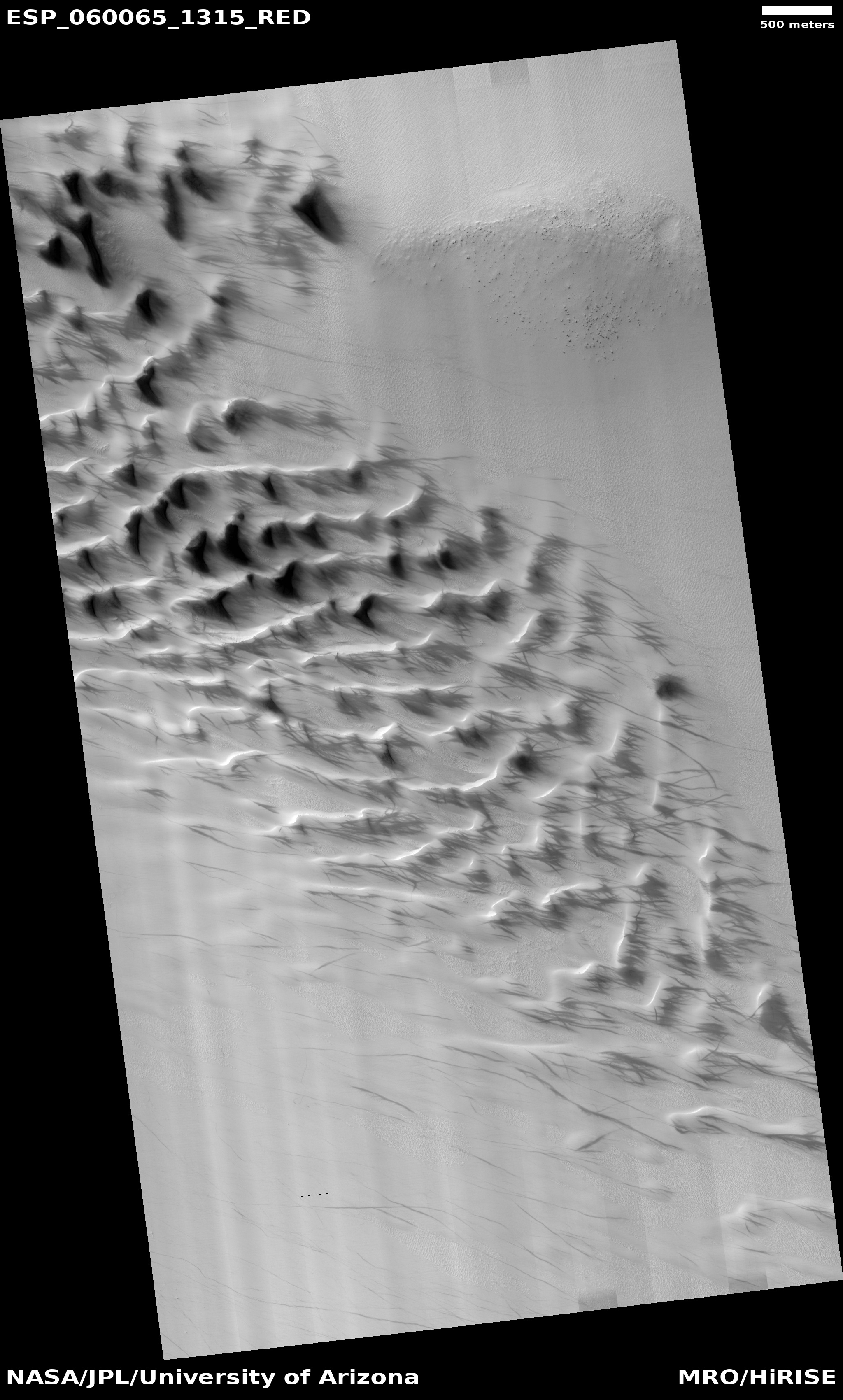
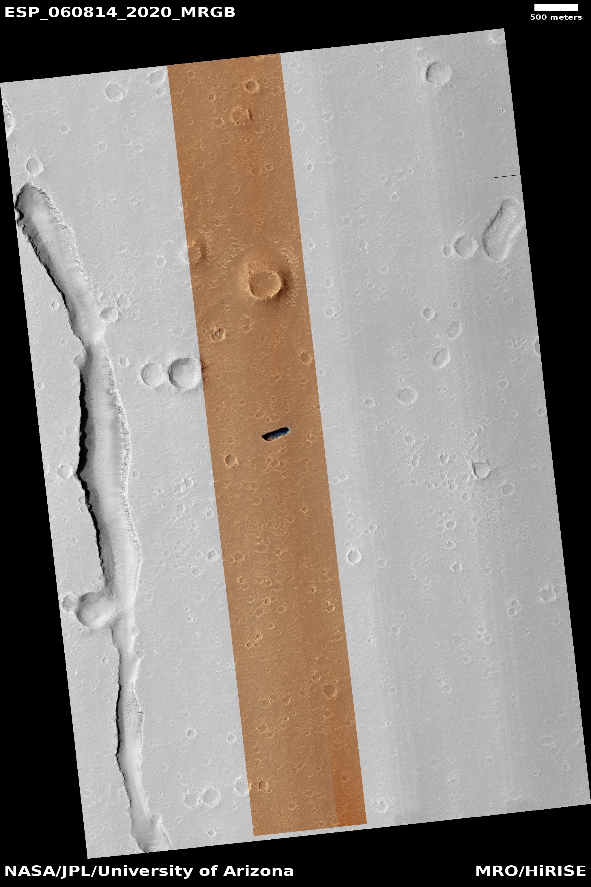
Recently the monthly download dump of images from MRO included one such location in the northwest quadrant of Hellas Basin, what I call the basement of Mars because it the planet’s lowest point. The uncaptioned image was taken on May 20, 2019 and was titled “Hellas Region Sand Dune Changes.” A review of past images shows that MRO has taken pictures of this location several times in the past, in 2011 and in 2017. All these images were taken during the Martian autumn season, and were taken to see if over time there were any significant changes to the dunes due to winds.

My superficial comparison of the 2011 and 2017 images does not show much obvious change. There could be small changes that my quick review did not spot, and there is also the strong possibility that the entire dune field could have shifted as a unit over those three Martian years, a change that would require a more detailed analysis beyond my technical capabilities. Click on both links, put the photographs in separate tabs, and switch quickly between them to see if you can spot any differences.

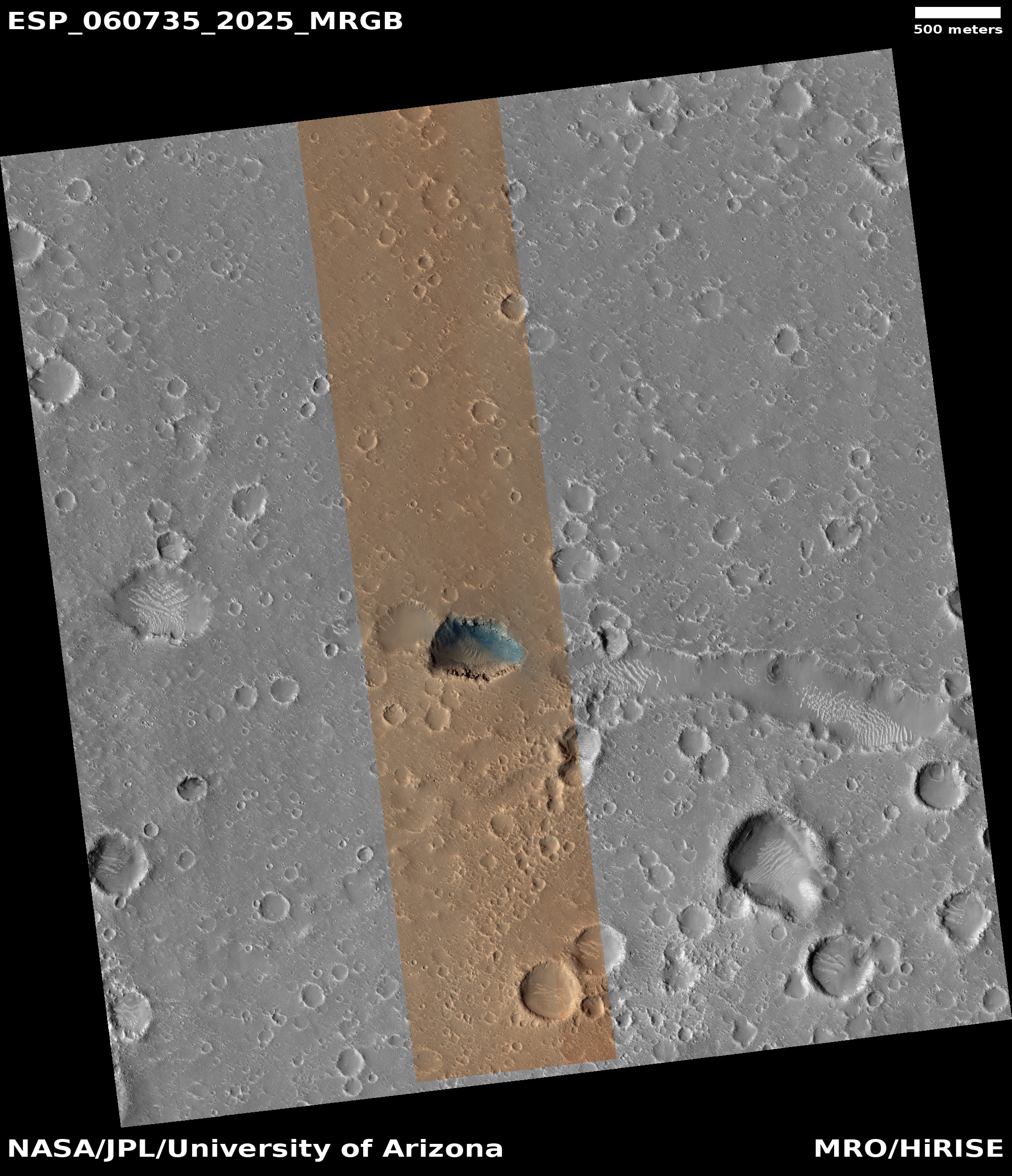
Comparing the 2011 and 2019 images however shows some significant changes, most of which I think are due to the 2018 global dust storm. Below is that comparison.
» Read more

0 comments

Martian impact into lava crust?

Impact crater north of Pavonis Mons
Click for full image.

Cool image time! The photo on the right, cropped to post here, was taken by the high resolution camera on April 23, 2019. It shows a quite intriguing impact crater on the northern lava slopes of Pavonis Mons, the middle volcano in the chain of three gigantic volcanoes to the west of Valles Marineris.

What makes this image cool is what the impact did when it hit. Note the circular depression just outside the crater’s rim. In the southeast quadrant that ring also includes a number of additional parallel and concentric depressions. Beyond the depression ground appears mottled, almost like splashed mud.

What could have caused this circular depression? Our first clue comes from the crater’s location, as shown in the overview map below and to the right.
» Read more

3 comments

Cave pits in the Martian northern lowlands

New pits in Hephaestus Planitia

I could call this my monthly Martian Pit update. Since November 2018 I have each month found from two to five new and interesting cave pits in the monthly download of new images from the high resolution camera on Mars Reconnaissance Orbiter (MRO). My previous posts:

All except the last August 12 post were for pits on the flanks of Arsia Mons, the southernmost in the line of three giant volcanoes to the southeast of Olympus Mons, and were thus almost certainly resulting from lava flows.

The August 12 post instead showed pits found in Utopia Planitia, one of the large plains that comprise the Martian northern lowlands where scientists think an intermittent ocean might have once existed. All of these pits are found in a region of meandering canyons dubbed Hephaestus Fossae.

In the most recent MRO release scientists once again focused on the pits in or near Hephaetus, imaging four pits, two of which have been imaged previously, as shown in my August post and labeled #2 and #4 in this article, and two (here and here) that appear new. The image on the right, cropped to post here, shows the two new pits, dubbed #1 and #3. In the full image of #1, it is clear that this pit lines up nicely with some other less prominent depressions, suggesting an underground cave. Pit #3 however is more puzzling. In the full image, this pit actually runs perpendicular to a long depression to the west. There are also no other related features around it.

What makes all four of these pits intriguing is their relationship to Hephaestus Fossae and a neighboring rill-like canyon dubbed Hebrus Valles, as shown in the overview map below.
» Read more

6 comments

Avalanche season at the Martian north pole

Avalanche on-going at the edge of Mars' north pole icecap
Click for full resolution image.

As the Martian spring started to unfold in April 2019, the focus of many Martian planetary scientists immediately shifted to the northern polar icecap, where they fully expected, based on previous experience, some spectacular events to occur.

I have already reported on this year’s initial observations of the sublimation of the carbon dioxide frost layer. That frost layer, generally less than six feet thick, falls as dry ice snow with the coming of winter, then sublimates away each spring. Since the arrival of Mars Reconnaissance Orbiter (MRO) in 2006 and its discovery of this process by its high resolution camera, these scientists have been monitoring the disappearance of that frost layer from Martian year to Martian year.

That sublimation process also brings with it other spectacular changes, including the coming of frequent avalanches along the high cliff scarps, ranging in heights from 1,500 to 3,000 feet, that comprise the edge of that north pole icecap. The image above, reduced to post here, shows one of the many avalanches found this spring and photographed as they were actually happening. It looks down at the cliff that runs from the left to the lower right of the image, with its top being the flat plateau in the lower left. From the caption, written by Dr. Candice Hansen of the Planetary Science Institute in Tucson, Arizona,

Every spring the sun shines on the side of the stack of layers at the North Pole of Mars known as the north polar layered deposits. The warmth destabilizes the ice and blocks break loose.

When they reach the bottom of the more than 500 meter tall cliff face [about 1,600 feet], the blocks kick up a cloud of dust. (In the cutout, the top layer of the north polar cap is to the lower left.) The layers beneath are different colors and textures depending on the amount of dust mixed with ice.

The linear many-layered look of that cliff face is due to the many layers believed to exist within the permanent water icecap of Mars. To give some perspective, this cliff is several hundred feet taller than the World Trade Center after completion. Those falling blocks are dropping farther than the bodies that horribly fell from the Trade Center the day it was hit by airplanes flown by Islamic terrorists on September 11, 2001.

The map below shows most of the eastern half of that icecap, with the white boxes showing the various places MRO has spotted such avalanches.
» Read more

1 comment

Terraced and banded hills on Mars

Banded or terraced hills in eastern Hellas
Click for full image.

Cool image time! In my review of the most recent download of images from Mars Reconnaissance Orbiter’s (MRO) the high resolution camera, I found a very startling (and cool) image of some dramatic terraced Martian hills, taken on July 30, 2019. I wanted to post it here, but decided to first do some more digging, and found that an earlier image, taken in 2017, showed more of this particular hill. It is this earlier image posted to the right, cropped and reduced.

Don’t ask me to explain the geology that caused this hill to look as it does. I can provide some basic knowledge, but the details and better theories will have to come from the scientists who are studying this feature (who unfortunately did not respond to my request for further information).

What I can do is lay out what is known about this location, as indicated by the red box in the overview map below and to the right, and let my readers come up with their own theories. The odds of anyone being right might not be great, but it will be fun for everyone to speculate.
» Read more

0 comments

Mars’ mysterious slope streaks become even more mysterious

Bright slope streaks in Arabia Terra
Click for full image.

Mars is an alien planet. This fact needs to be restated over and over, because we humans have an uncontrolled and unconscious tendency to view the things we find on Mars and assume they are caused by and resemble phenomenon we see all the time here on Earth.

Not. Mars has a very different climate, a significantly weaker gravitational field (about one third of Earth’s), and a geological and environmental make-up very alien from Earth’s. While many phenomenon there might have parallels on Earth, it is very dangerous to assume they are the same, because more often than not, they are exceedingly dissimilar and mysterious.

The image on the right is another example of this, reduced and cropped to post here. It is of some slope streaks in the Arabia Terra region on Mars, the largest most extensive region in the transition zone between the northern lowland plains and the southern highlands. I found it in my review of the August 30th release of new images from the high resolution camera on Mars Reconnaissance Orbiter.

As I already noted in my previous article about the mysterious slope streaks of Mars:

The bottom line, as noted in one paper, โ€œThe processes that form slope streaks remain obscure. No proposed mechanism readily accounts for all of their observed characteristics and peculiarities.โ€

Mars is strange. Mars is alien. Mars epitomizes the universe in all its glory.

The image above only reinforces this conclusion.
» Read more

0 comments

Cliff collapse on Mars

Cliff collapse on Mars
Click for full image.

Cool image time! The photograph to the left, rotated, cropped, and reduced to post here, was found in the August image release of the high resolution camera on Mars Reconnaissance Orbiter (MRO).

This was an uncaptioned image, with a title “Cataract and Grooves in Kasei Valles.” Kasei Valles is the giant canyon north of Marineris Valles. Though it is not as well known or maybe as dramatic, it is about as long and vast as its more famous southern canyon. It also has some very intriguing features, including what I consider to so far be the pit on Mars with the highest priority for exploration.

The image on the right shows the result when a giant section of this cliff face broke off and collapsed into the canyon. It also shows that the collapse occurred a long time ago. Not only are there newer craters on the collapse debris, the breakdown at the cliff base looks well eroded, as if many eons have passed since it piled up there.

When this section broke off however it was a very big event. The width of the collapse is about a mile across, with its depth about 600 feet. The height of the cliff is approximately 3000 feet, give or take a few hundred feet. Thus the chunk that broke off was about 600 feet wide, 5,000 feet long, and about 3,000 feet high. That’s one very big rock.

0 comments

Melting rocks on Mars

Melt pools near Mohave Crater
Click for full image.

Cool image time! The image to the right, reduced, cropped, and annotated by me to post here, was part of the July image download from the high resolution camera on Mars Reconnaissance Orbiter (MRO) and was titled “Melt Pools around Mojave Crater”.

You can see that the flow began to the south, flowed northward (in the middle of the image), and then pooled in the two places as indicated. In the full photograph you can also see that the flow continued to the north, forming more pools.

The title to me suggests that this flow and the melt pools were lava, not ice. The low latitude, 7 degrees north, also suggests this is not ice. Though I was unable to reach the person who requested these images, it appears his research is aimed understanding the melt events that occur in the vicinity of craters upon impact. From his website:
» Read more

0 comments

An eroding Martian glacier?

An eroded glacier on Mars?

Close-up of an eroded glacier on Mars?
Click for full image.

Cool image time! In my never-ending review of new images downloaded each month from the high resolution camera of Mars Reconnaissance Orbiter (MRO), I came upon an image dubbed merely “Terrain Sample” in the August release. To the right, cropped and rotated to post here, is the weird terrain from that image, with the section in the white box shown below at full resolution.

To keep MRO functioning properly, they need to take images on a regular basis, even if they have no planned features coming into view. As noted by Singleton Thibodeaux-Yost, the HiRISE Targeting Specialist at the University of Arizona who requested this image,

It was not taken in response to a suggestion from the public or our team database. This image was a ride-along with another instrument on MRO. [The scientists for that other instrument] targeted this region for a particular reason and we just turned on our camera as well to gather more data while they collected their data. I title these types of images โ€œterrain sampleโ€ as we donโ€™t always know what the results will be.

In other words, the scientists running the high resolution camera have no inkling what they will see until see it.

This image shows the inside rim of a crater, with the crater rim to the south just beyond the image’s bottom edge. This somewhat large crater is located in the middle of Arabia Terra, one of the largest regions of the transition zone between the southern highlands and the northern lowlands (where some scientists believe an intermittent ocean might have once existed). This transition zone has many features that suggest a tidal basin on the edge of that ocean.

A few months ago I would have been entirely baffled by what we see here. I might have speculated that these strange features were another variation of that shoreline region. Maybe these features are the erosion one sees on a dried lakebed after the water has drained away.

I might have also speculated that these shapes looked like the kind of frozen ice blocks one sees in the icecap of the Arctic here on Earth.

Both speculations then would have been complete guesses.

I now know, based on things I have recently learned in writing about several other images from MRO, that the second guess is likely right (though of course my opinion as a very amateur planetary geologist should not be taken very seriously). My reasons?
» Read more

0 comments

Monitoring Martian pits not near Arsia Mons

Second look at Hephaestus Fossae pit
Click for full image.

In reviewing the August image release from the high resolution camera on Mars Reconnaissance Orbiter (MRO), I came upon two different new pit images, the more interesting of which is highlighted on the right, cropped to post here..

Finding new pit images from MRO isn’t surprising, since the spacecraft has been photographing pits almost monthly since November (see: November 12, 2018, January 30, 2019, February 22, 2019, April 2, 2019, May 7, 2019, and July 1, 2019).

What makes these two new pit images more intriguing are their location, and the fact that both pits were previously photographed by MRO and posted on Behind the Black on June 5, 2018 and July 24, 2018. Both are located in Hephaestus Fossae, a region of fissures on the edge of the great Martian northern lowlands to the west of the great volcano Elysium Mons.

Almost all the pits from past MRO images have been found on the slopes of Arsia Mons, the southernmost of the three giant volcanoes southeast of Olympus Mons. In fact, last month I even asked the question, “Why so many pits there, and so few pits elsewhere?” The explanation from Chris Okubo of the U.S. Geological Survey, who is requesting these images, was that maybe it was due to geology, or maybe it was because we simply do not yet have enough information and might not have identified the many caves/pits elsewhere.

It appears that this same question had already been on the minds of Okubo and his partner, Glen Cushing, also of the USGS. As Okubo wrote me when I asked him about these new images:
» Read more

2 comments

Watching the yearly vanishing of Mars’ north pole dry icecap

Buzzell dunes, March 19, 2019
Click for full image.

Buzzel dunes, April 4, 2019
Click for full image.

Buzzell dunes, June 4, 2019
Click for full image.

For the northern hemisphere of Mars it is presently spring. The season began sometime in April 2019 and will last until about October, twice as long as on Earth because of the Martian year is twice as long.

During the fall and winter the permanent water-icecap, which forms the bulk of the Martian icecap, gets covered by a mantle of dry ice, settling there as a layer of carbon dioxide snow about six feet thick. With the arrival of spring that dry icecap slowly begins sublimate away entirely.

Using the high resolution camera on Mars Reconnaissance Orbiter (MRO) planetary scientists are monitoring this process, taking pictures periodically.

On June 6, 2019 I had written a detailed story describing the Martian North Pole and outlining the process by which this sublimation of the dry icecap mantle takes place.

When winter ends and the sun reappears at this Arctic location, a small percentage of that sunlight, about 10%, goes through the dry ice and warms the sand that the dry ice mantles. This in turn warms the bottom of the dry ice layer, causing this to sublimate into a gas that is now trapped.

When the pressure builds sufficiently, that gas breaks free at the weakest spots in the dry ice layer, which are either at the dune crest or at its base, or sometimes on its face where cracks form. When it does so the CO2 gas carries with it material from below, which appears dark relative to the bright dry ice on the surface. As the summer season progresses and more dry ice sublimates away, the dark smudges disappear as they slowly blend in with the now-exposed original sand surface.

The first two pictures to the right were posted in that June 6, 2019 story, showing the initial evidence of sublimation on a set of dunes that the scientists have dubbed Buzzell. Below these, I have now added the newest image of the Buzzell dunes, taken on June 4, 2019 and just released in the August MRO image dump.

When this third image was taken, spring was only about two months old. Yet, this sublimation process is clearly accelerating. You can see many more dark patches at the crests and bases of many dunes, especially in the upper left of the image. According to Dr. Candice Hansen of the Planetary Science Institute in Tucson, Arizona, who is requesting these monitoring images, by sometime in October “you’ll see how the entire spring progresses from dunes completely covered with dry ice to the summer when they are just bare sand. Then you could comment on the whole spring series.”

I fully intend to do this. No harm however in providing an interim report or two. Stay tuned to Behind the Black for future on-going and up-to-date reports on the shrinking north pole dry icecap of Mars!

0 comments

Crater on the Basement of Mars

Crater in the bottom of Hellas Basin
Click for full image.

Cool image time! In the July release of images from the high resolution camera of Mars Reconnaissance Orbiter (MRO) was the image to the right, cropped to post here, showing what I suspect is a relatively young crater located in the lowest part of Hellas Basin, what I call the bottom of Mars.

Though this crater is not located at the lowest point in Hellas, it is not far off from there. What makes it important to geologists are two facts. First, there are not a lot of craters in Hellas, which helps indicate it is a relatively young feature. Second, and more important, the impact has made accessible material from below the surface, indicated by the different colors in this image. From this information they can better constrain their theories about the Basin’s formation and where it fits in Mars’s overall geological history.

Make sure you take a look at the full photograph by clicking of the image, and compare it with the earlier Hellas Basin images I posted here. The surface of Hellas appears to have a lot of flow features, as if it was laid down by volcanic activity, or by the motion of water that covered it. In either case that would explain the overall lack of craters.

0 comments
1 121 122 123 124 125 157