
The blobby wettish flows of Mars
Click for full image.
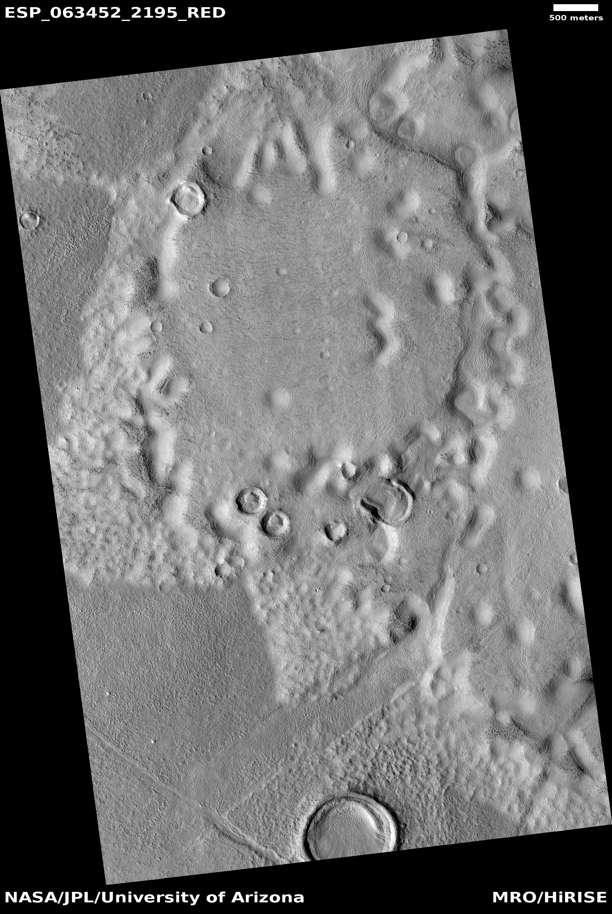
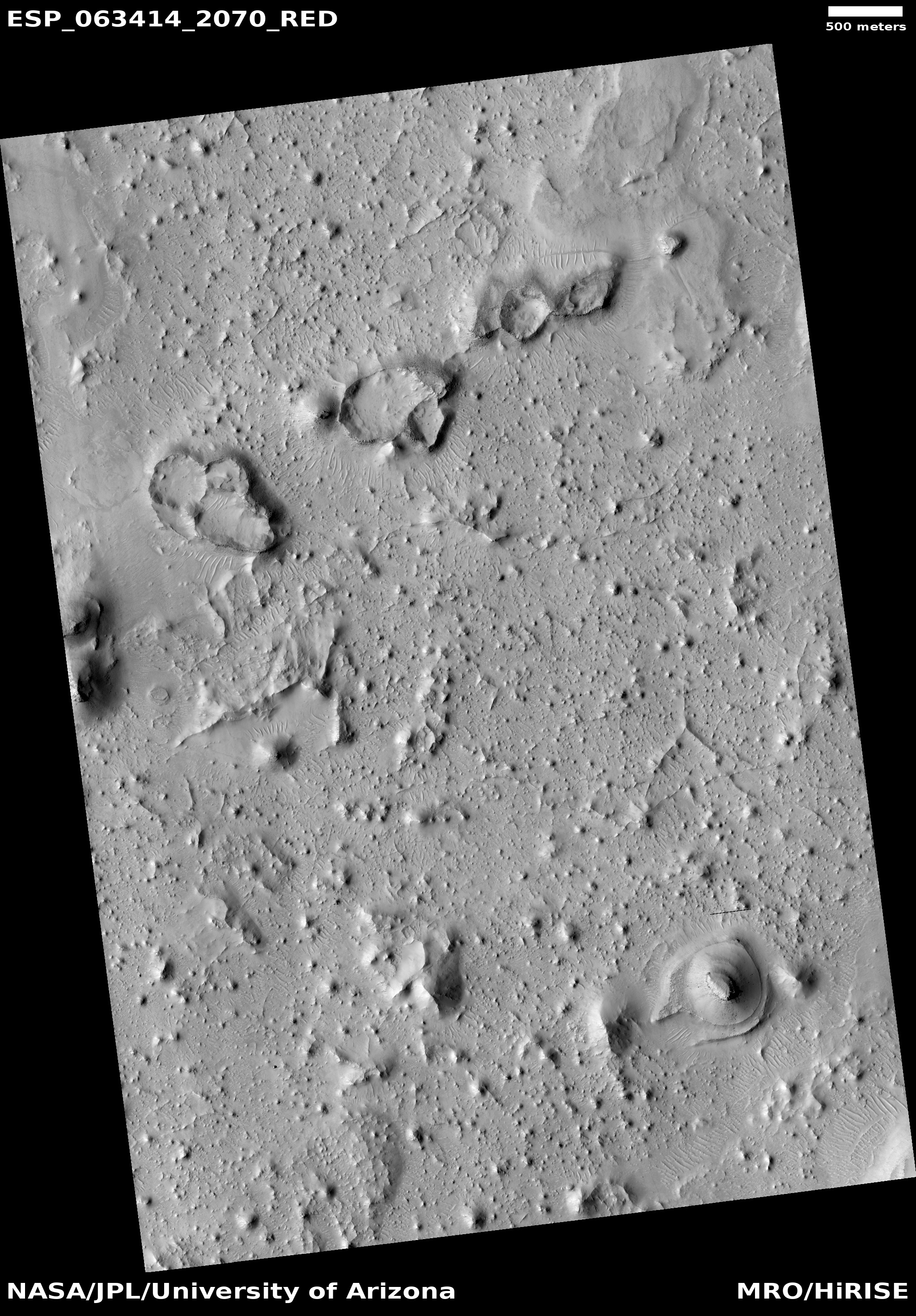
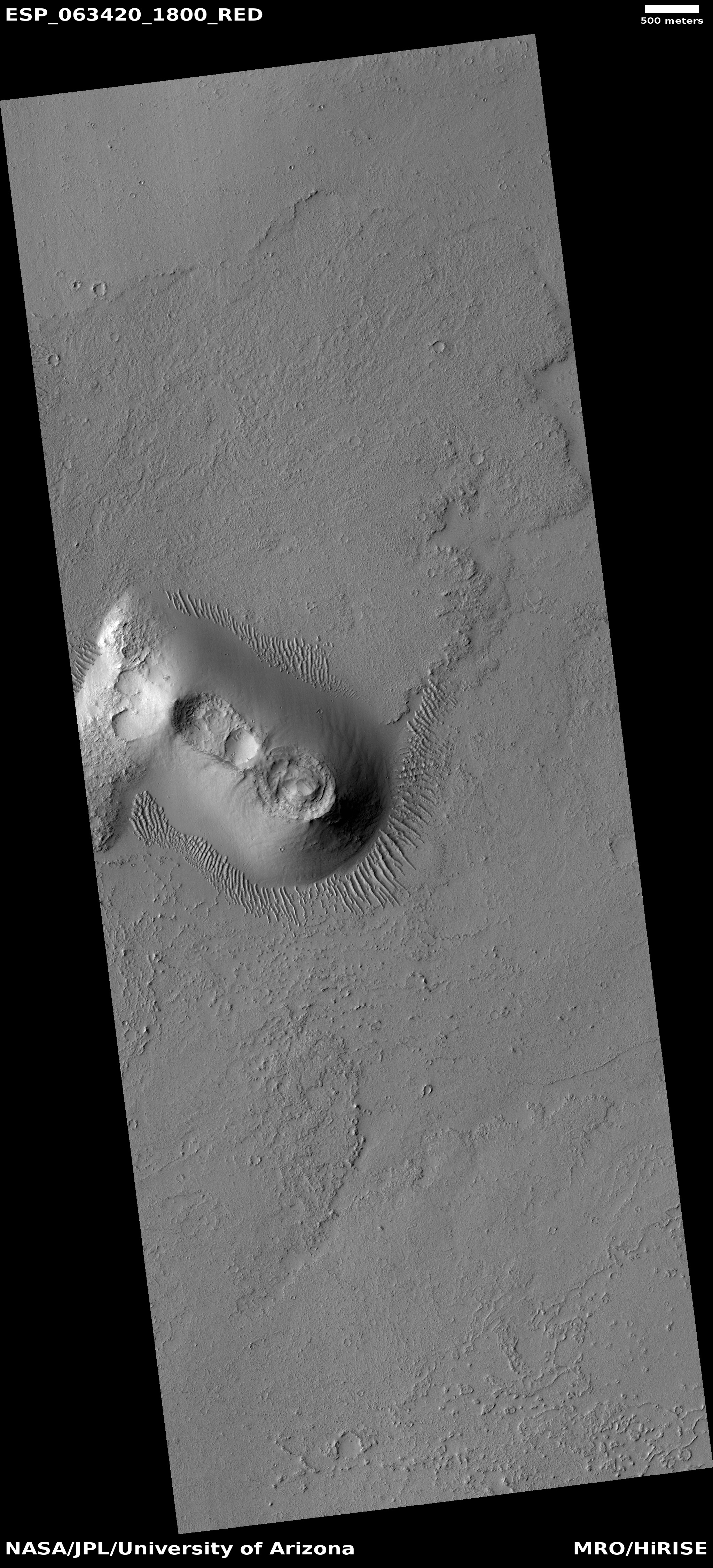
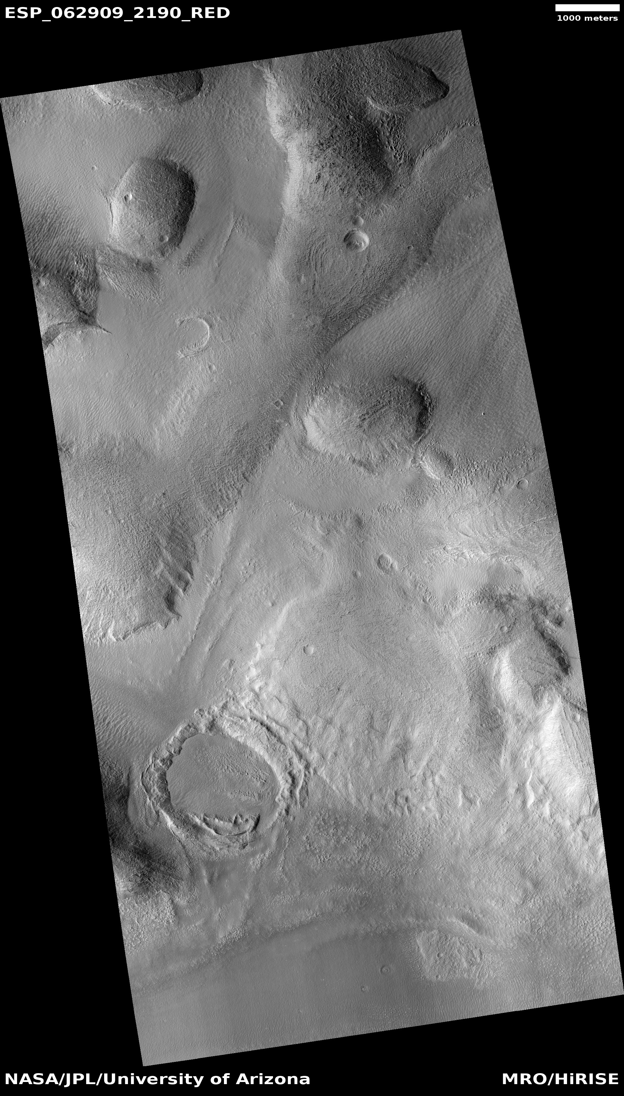
Cool image time! Rather than talk about shut downs, lying politicians, and our tragically fear-filled society, let’s go exploring on Mars. The image to the right, rotated, cropped, and reduced to post here, was taken by the high resolution camera on Mars Reconnaissance Orbiter (MRO) on February 8, 2020. Dubbed a “Flow-Like Feature within the Adamas Labyrinthus”, it shows what appears to be a very distorted and eroded pedestal crater surrounded by strange triangular-shaped flow features.
It also shows, as does much other research, that the northern mid-latitudes of Mars have a lot of frozen water, much of it buried very close to the surface.
Assuming this is a pedestal crater (which it might not be), this feature has to be very old. Pedestal craters require age, as to stand out above the surrounding terrain a lot of time is needed to erode that terrain away. This age is confirmed by the bunch of newer craters on top.
At the same time, the partially filled small crater near its bottom, as well as the soft eroded depressions on top, suggest that much of this surface has been reshaped by more recent flows, changing its shape over time.
The surrounding triangular flows probably occurred at the original impact, and suggest that there is ice near the surface, making the material here act almost like wet mud when heated. Since this location is right in the middle of the mid-latitude bands where scientists have found lots of evidence of buried glaciers and ice near the surface, this supposition seems reasonable.
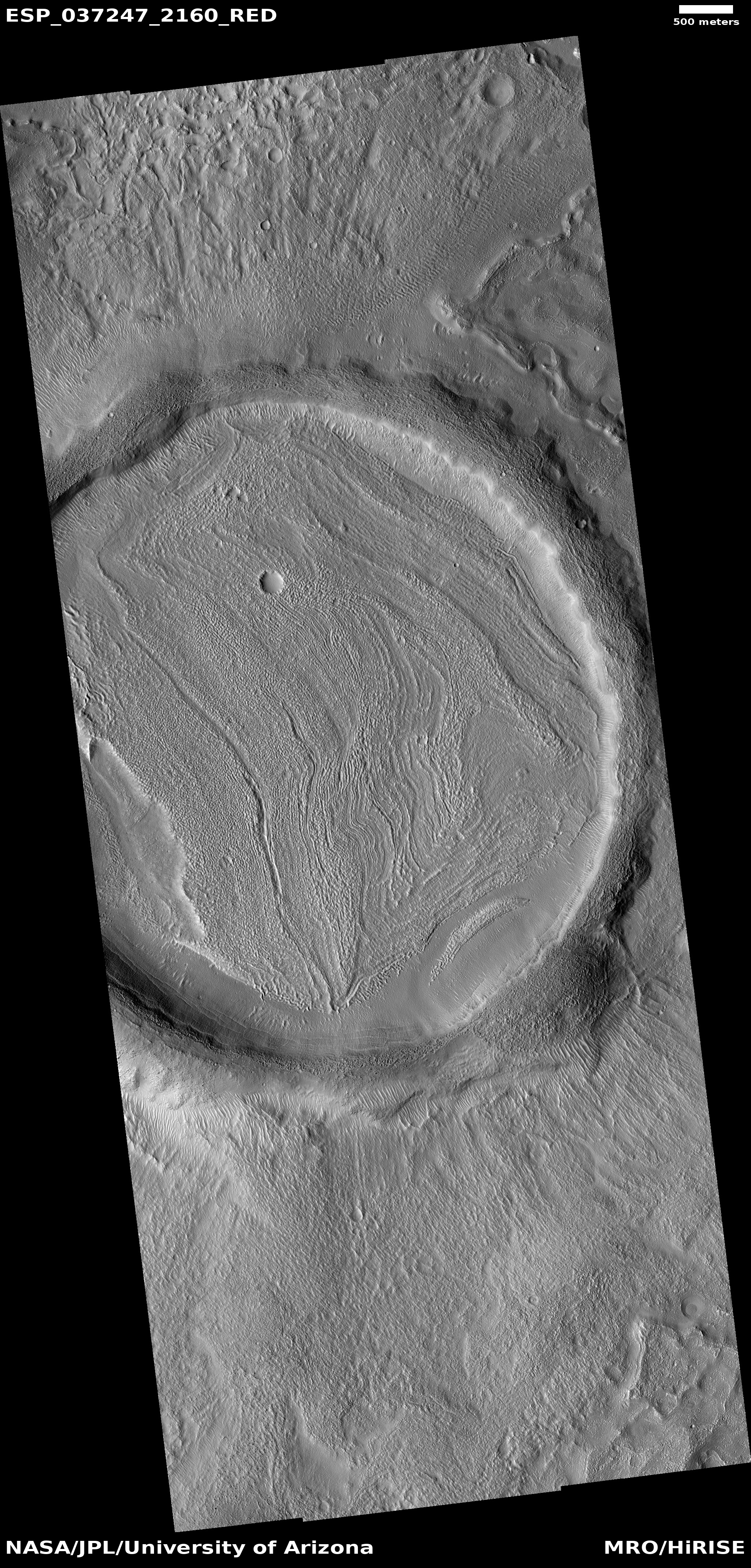
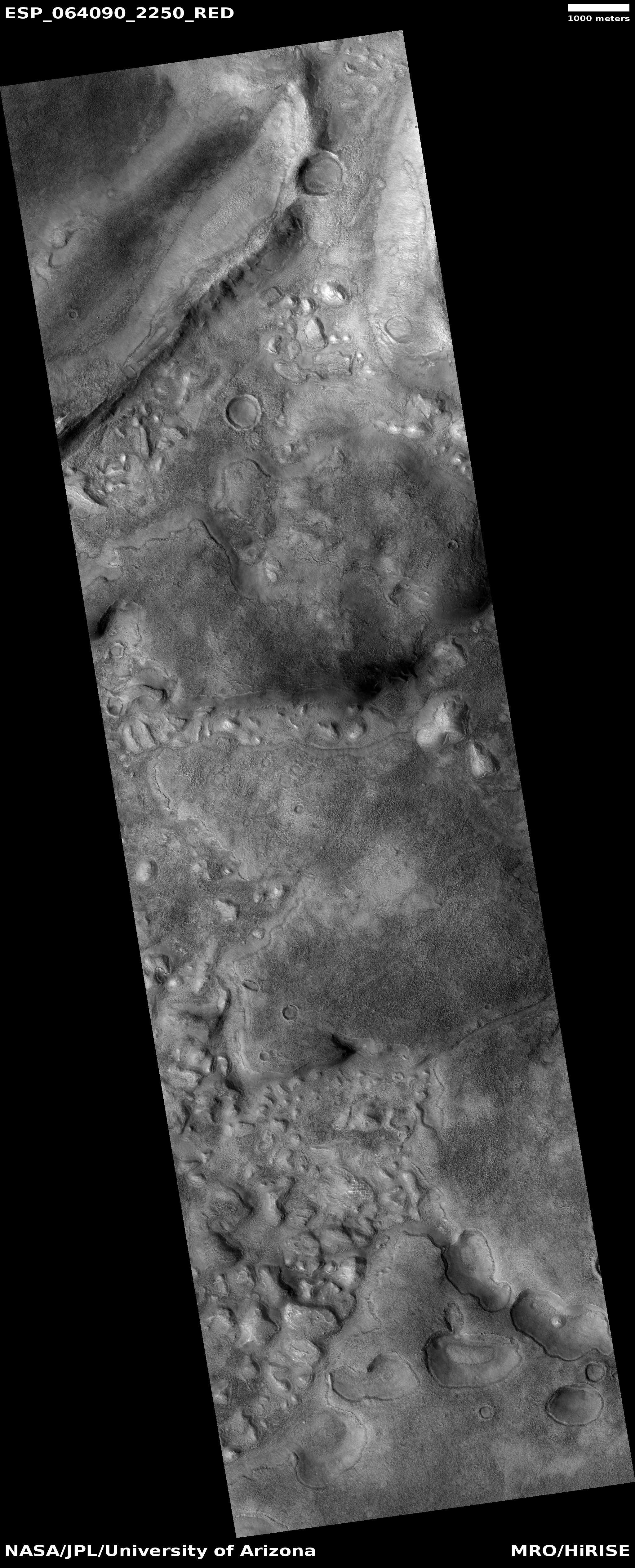
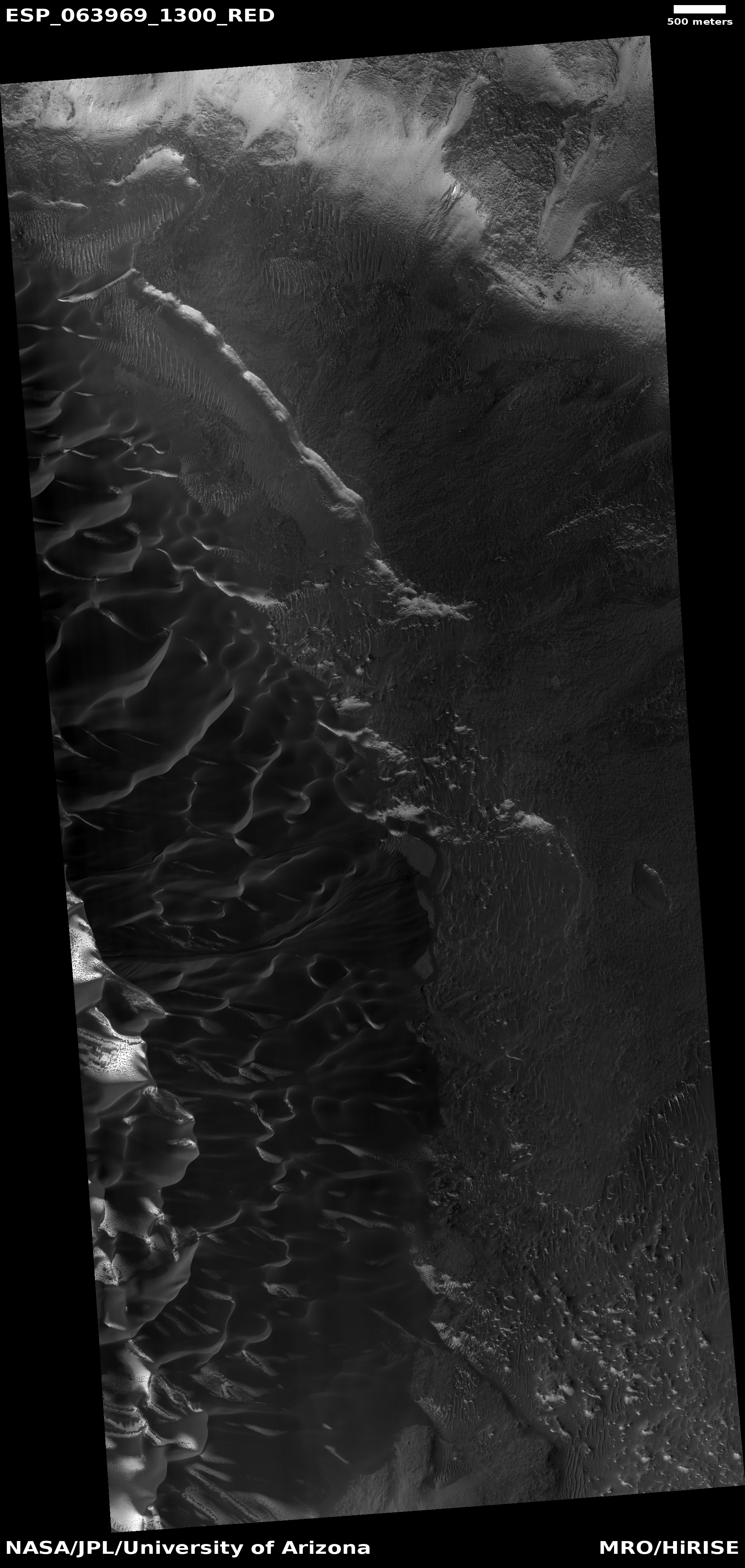
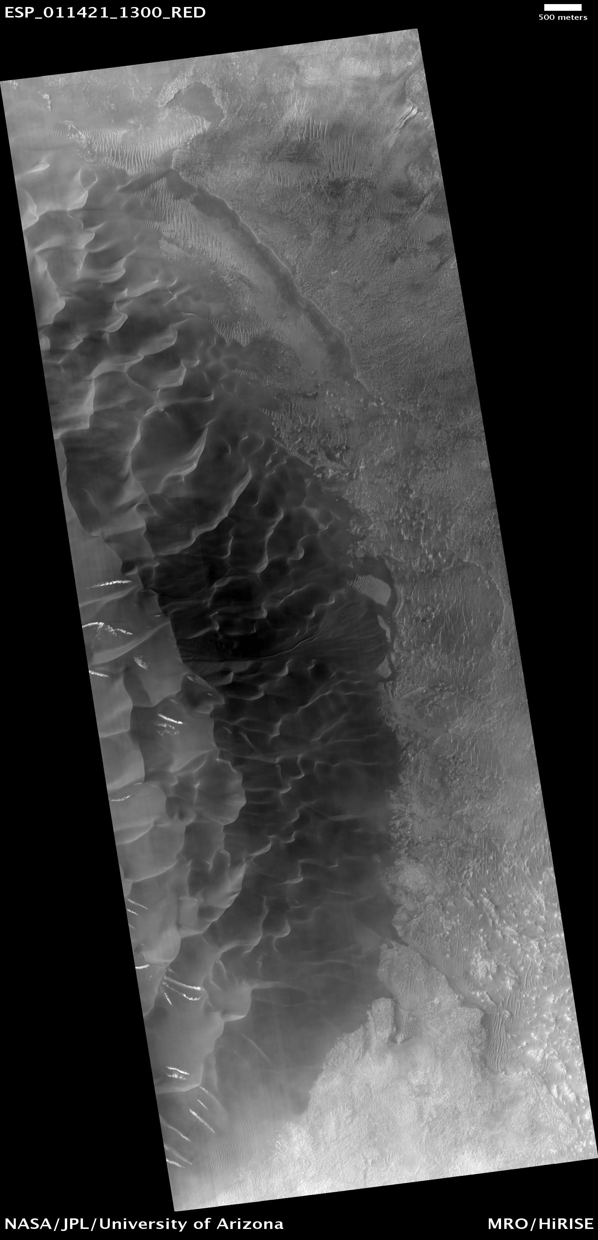
The overall location provides some further context.
» Read more

