
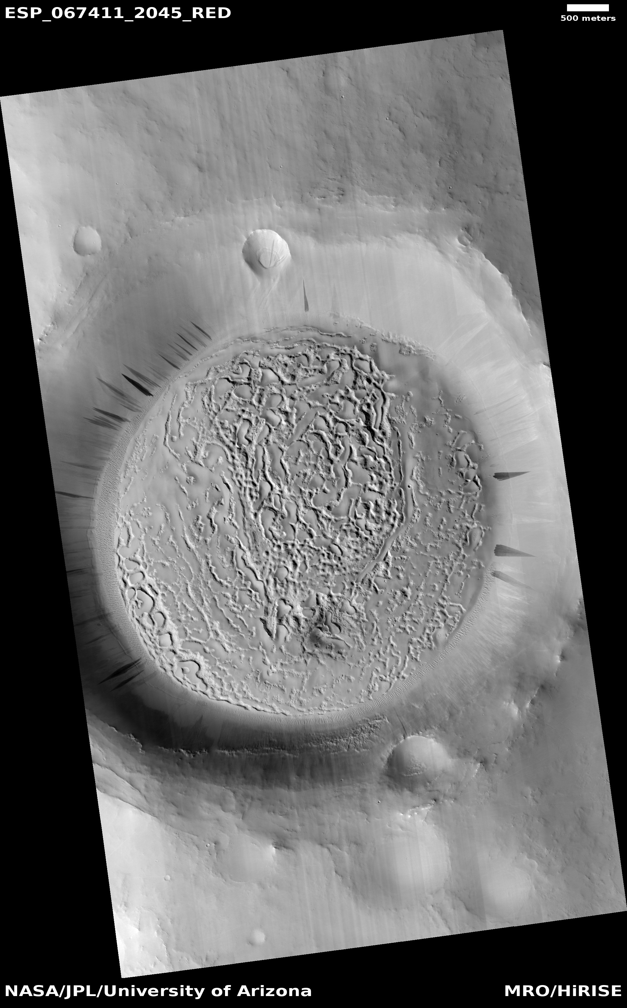
Mars: Planet of many glaciers

Click for full image.
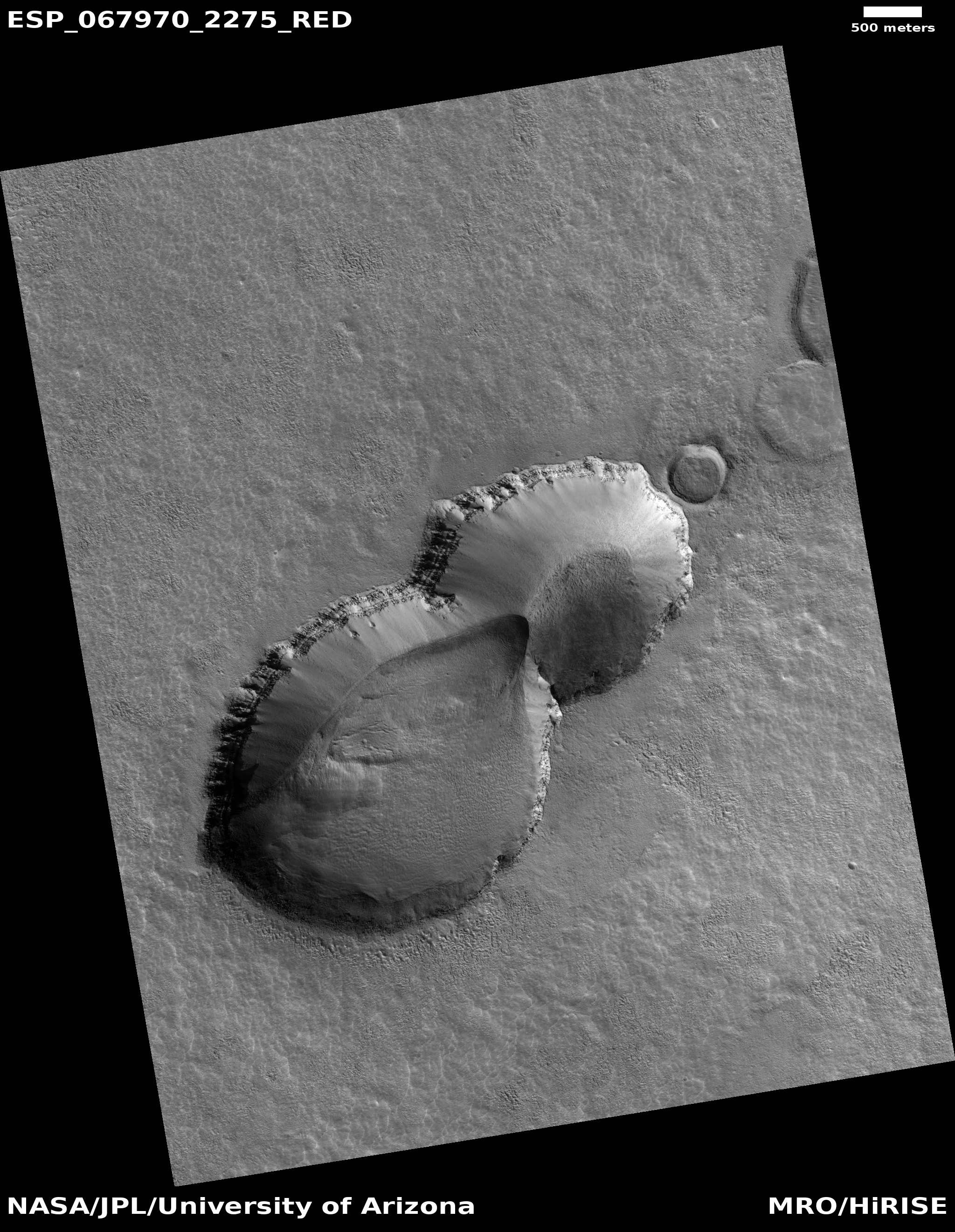
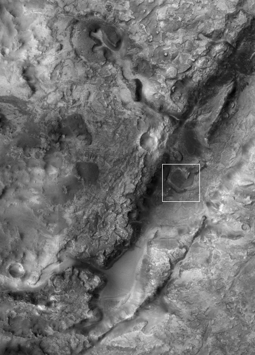
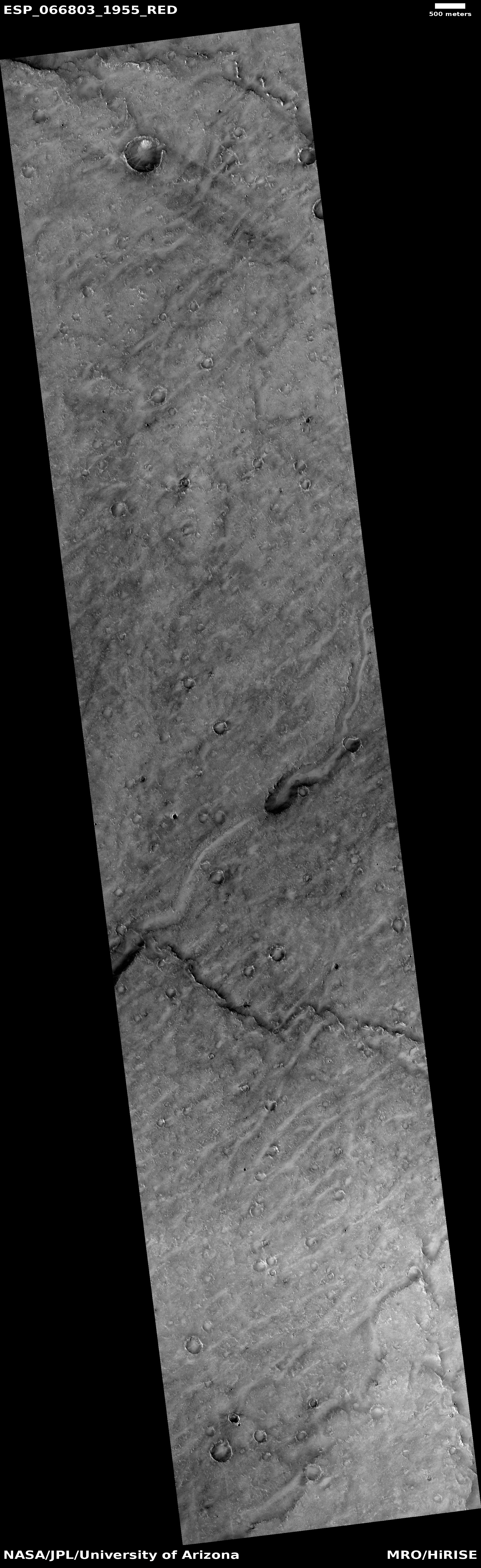
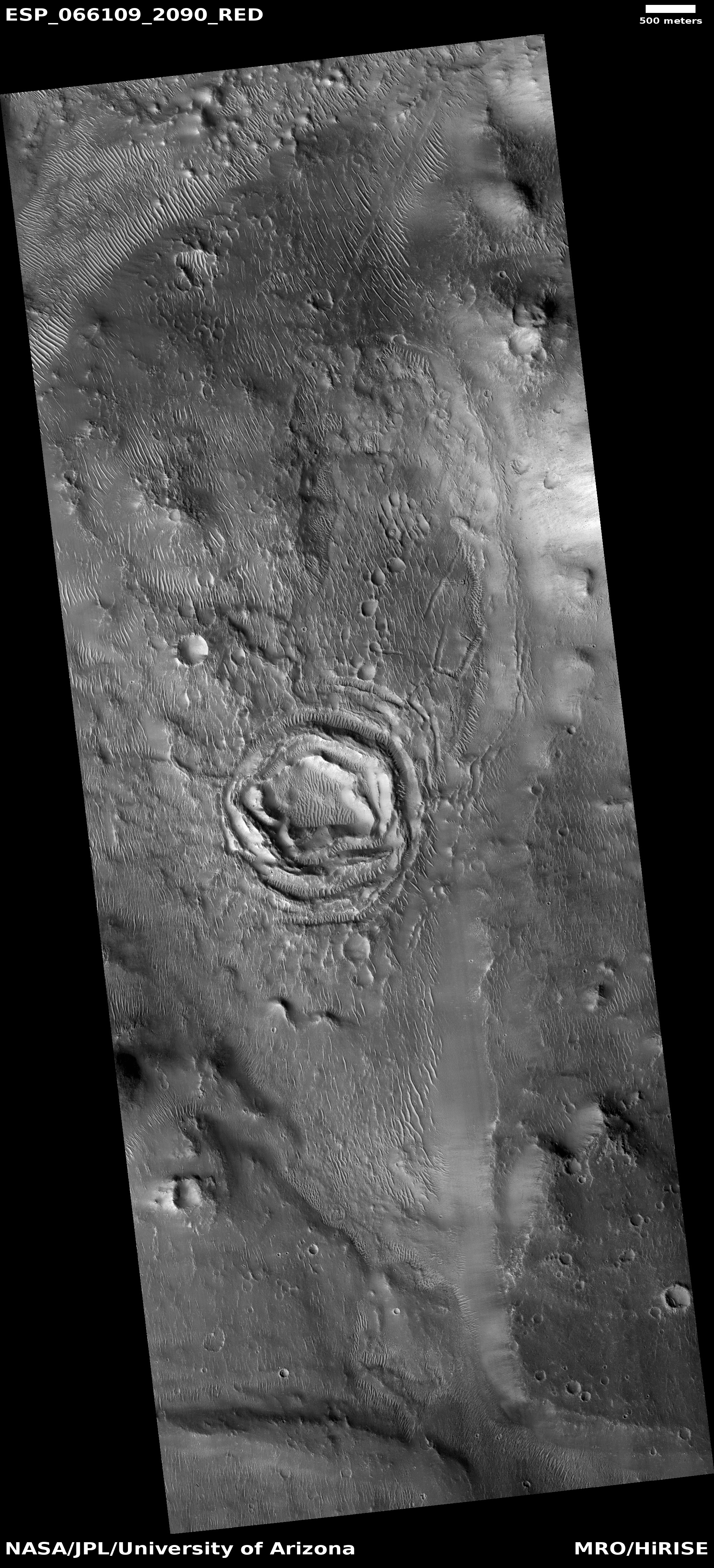
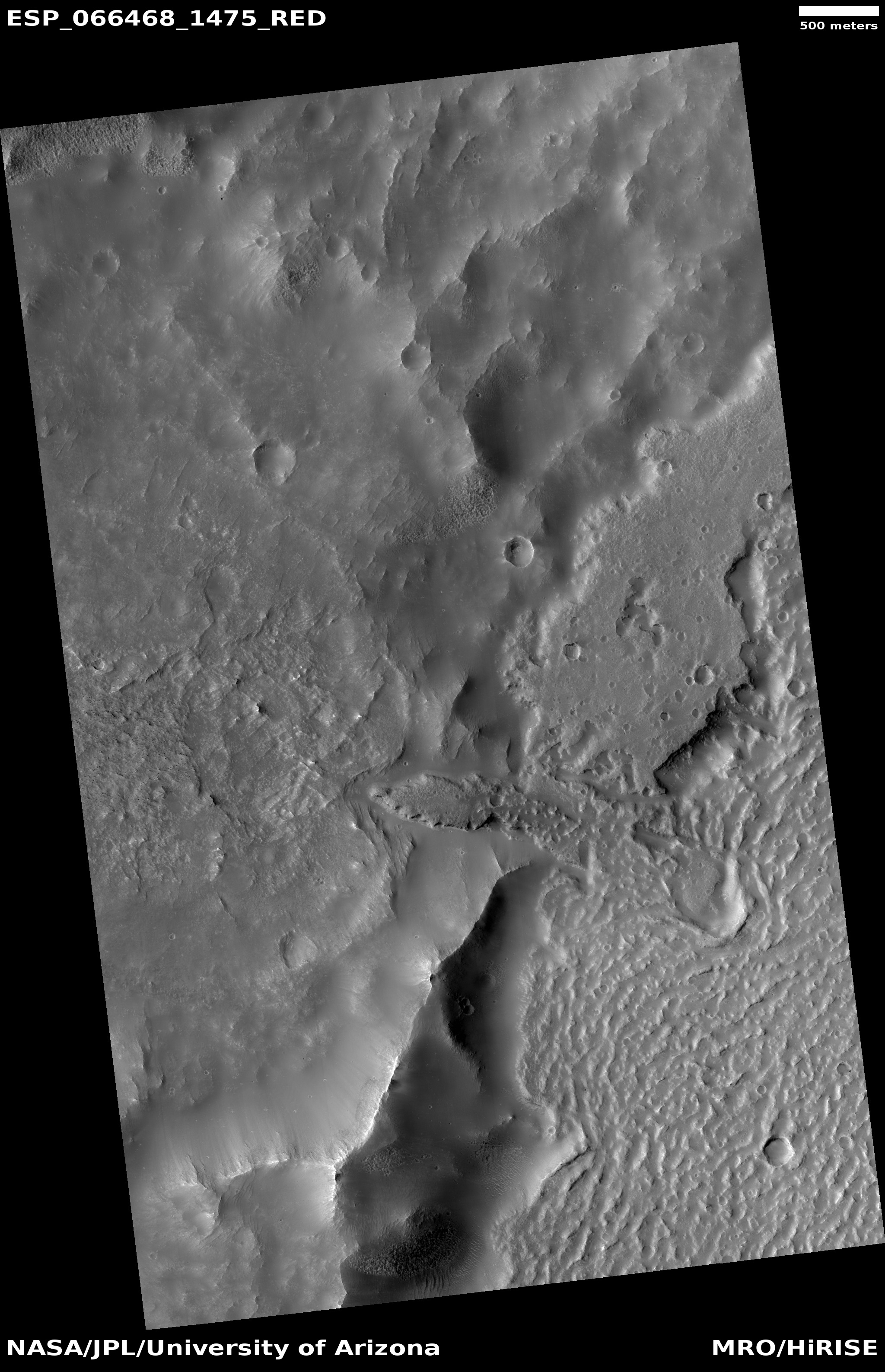
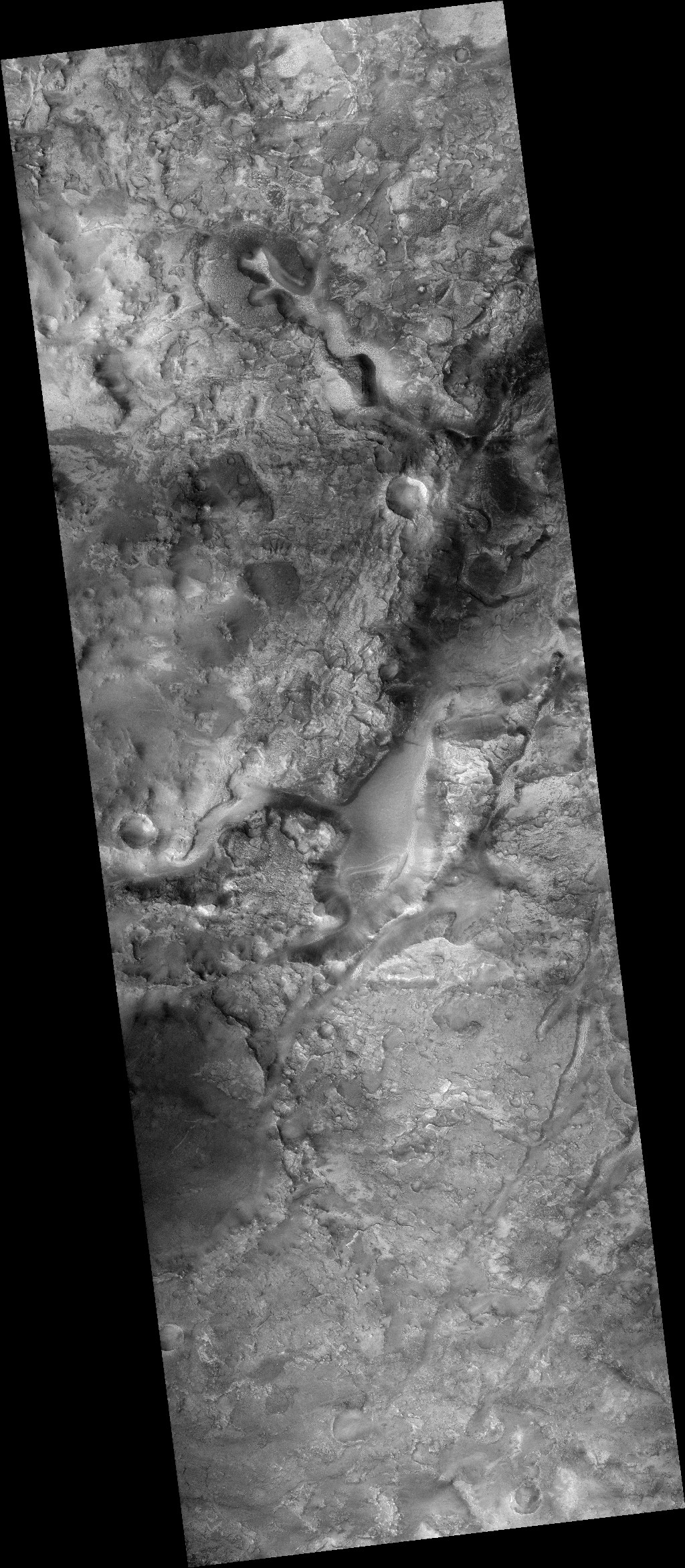
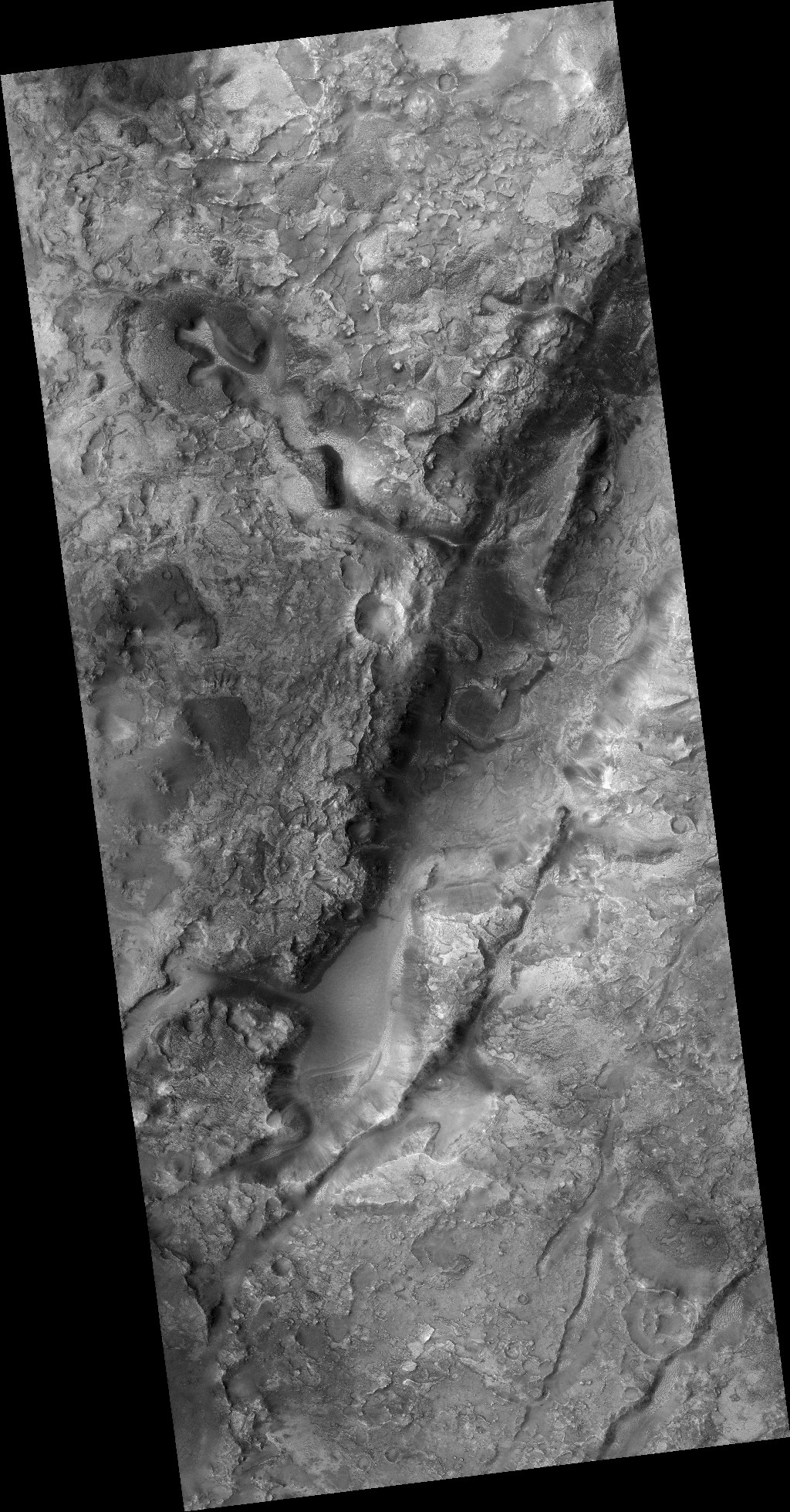
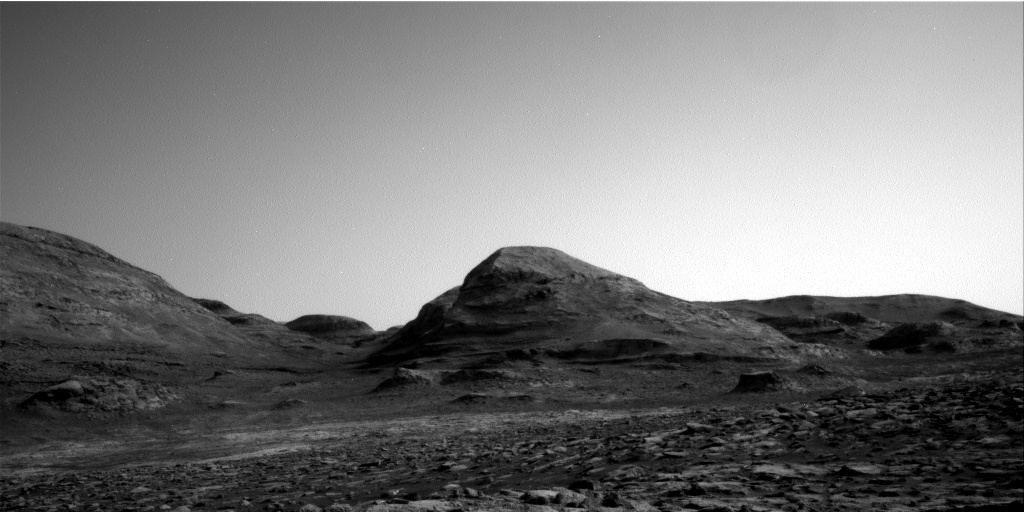
Today’s cool image more than simply cool, it reveals a wider picture of Mars that should be quite exciting to future colonists. The photo to the right, rotated, cropped, and reduced to post here, was taken on January 30, 2021 by the high resolution camera on Mars Reconnaissance Orbiter (MRO). What drew my attention to it was the title given to this uncaptioned photo: “Moraine-Like Ridges in Nereidum Montes.”
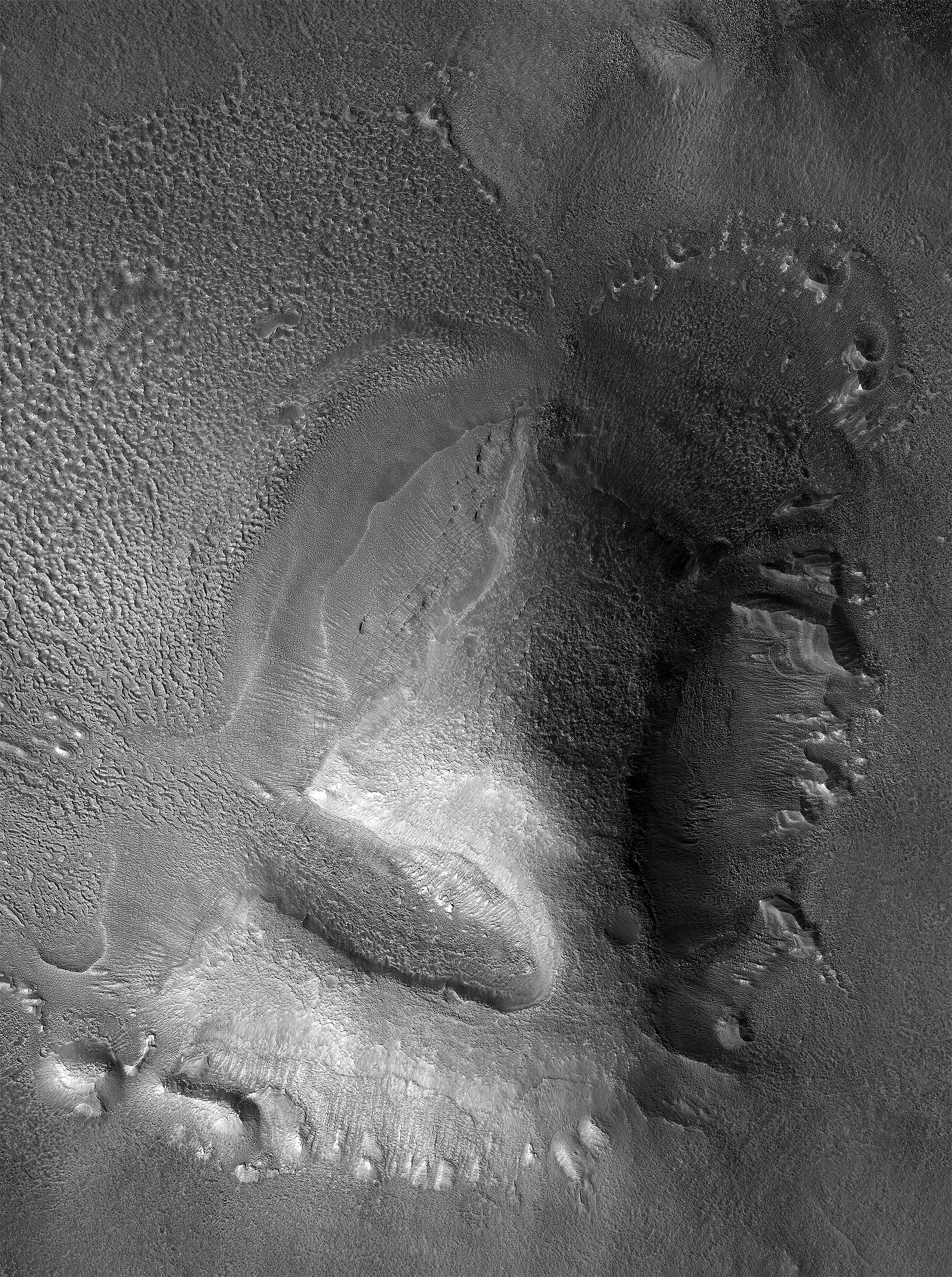
Moraines are the debris pile pushed ahead of any glacier. The picture shows what appear to be a series of moraines, likely caused by different periods of glacier activity when the glacier was growing. It also suggests that past active periods were more active than later ones, as with each active period the moraine did not get pushed out quite as far.
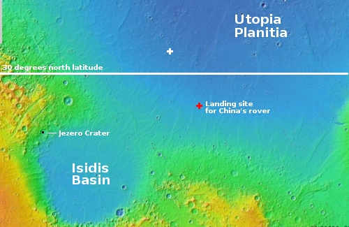
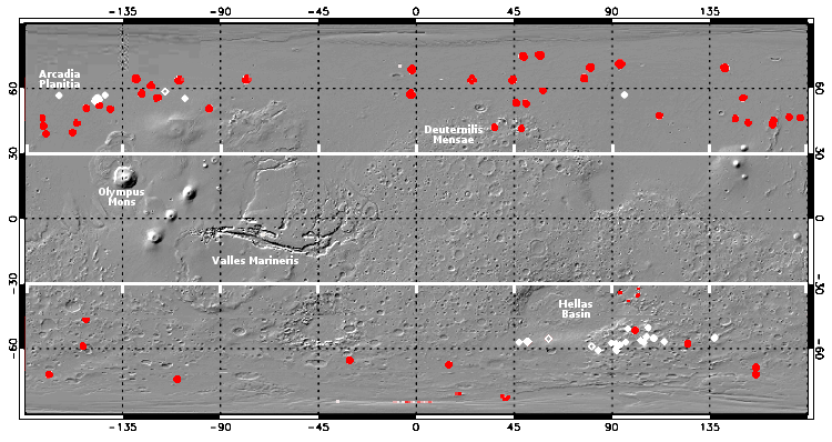
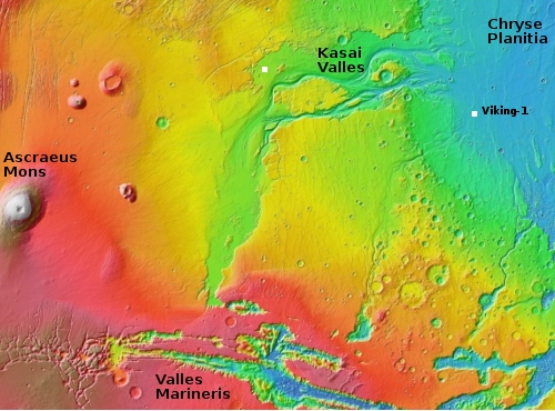
The location, Nereidum Montes, intrigued me, as I am not that familiar with it. I emailed the scientist who requested the image, Dan Berman, senior scientist at the Planetary Science Institute in Arizona, and asked him for more information. He suggested I read a very recent paper he co-wrote entitled “Ice-rich landforms of the southern mid-latitudes of Mars: A case study in Nereidum Montes.” From that paper I was able to produce the map of Mars below that shows the regions on the planet where scientists now think hold the greatest concentrations of glaciers.
» Read more


