
Researchers discover a new kind of water ice
Researchers have discovered a new kind of water ice that appears to match the density and structure of liquid water.
he ice is called medium-density amorphous ice. The team that created it, led by Alexander Rosu-Finsen at University College London (UCL), shook regular ice in a small container with centimetre-wide stainless-steel balls at temperatures of –200 ˚C to produce the variant, which has never been seen before. The ice appeared as a white granular powder that stuck to the metal balls. The findings were published today in Science.
The abstract for the paper can be read here.
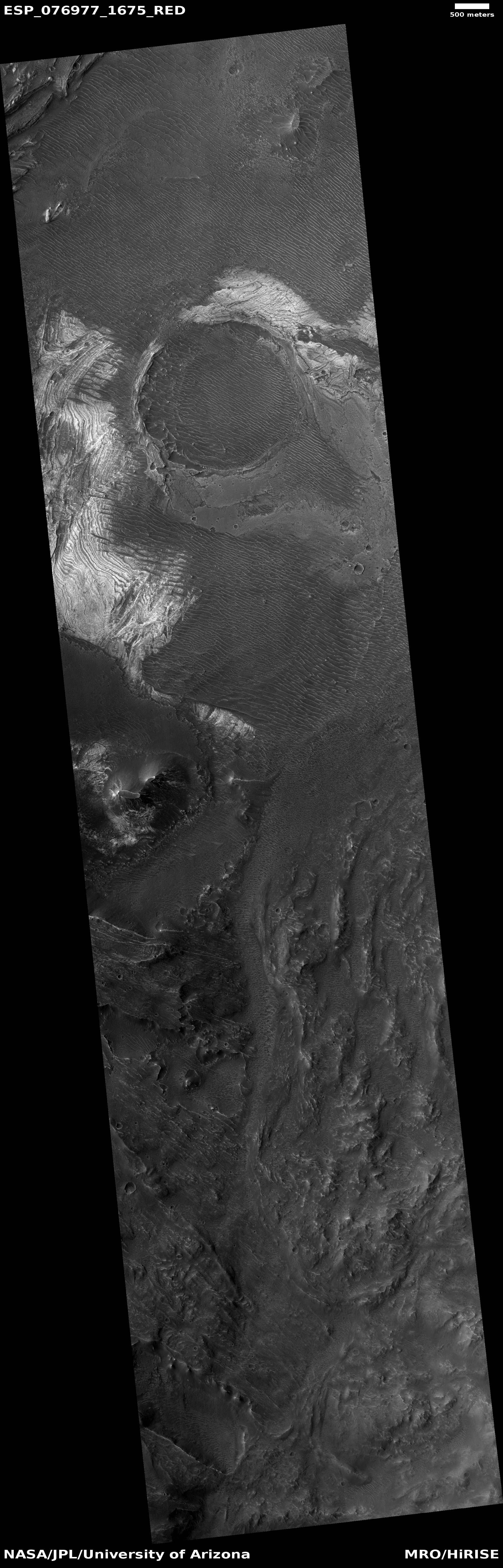
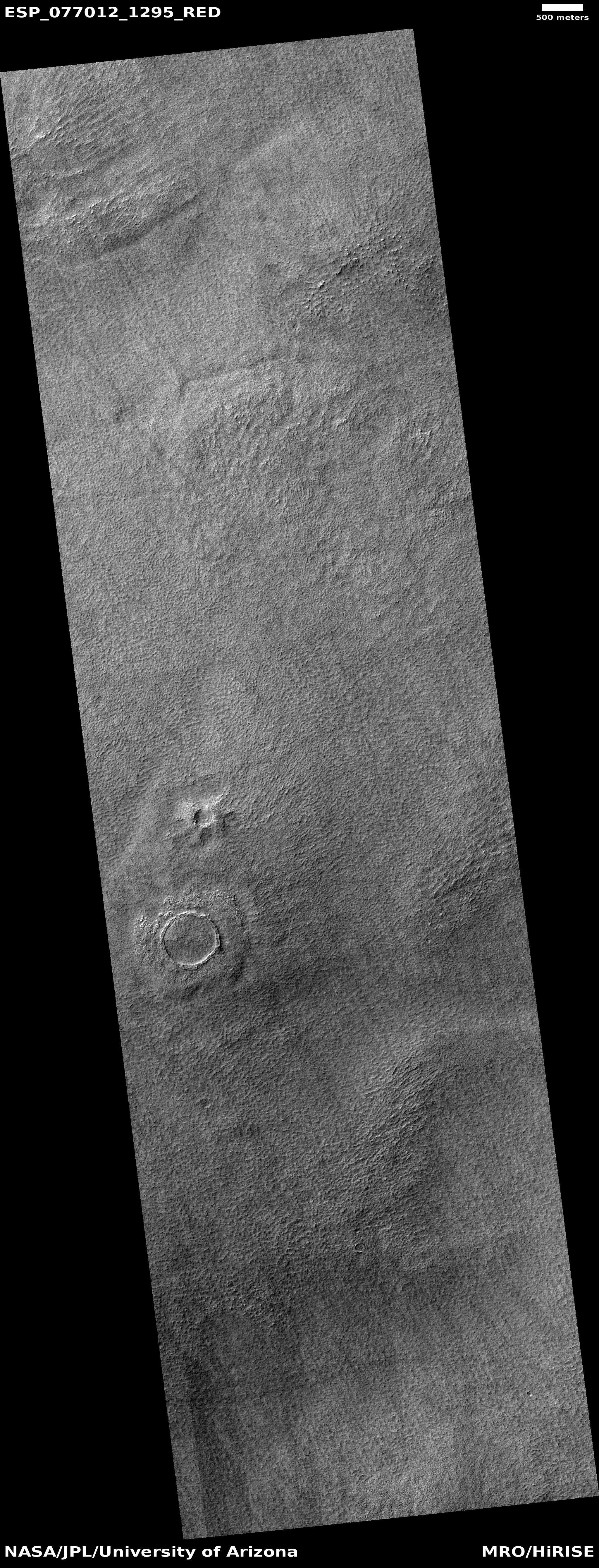
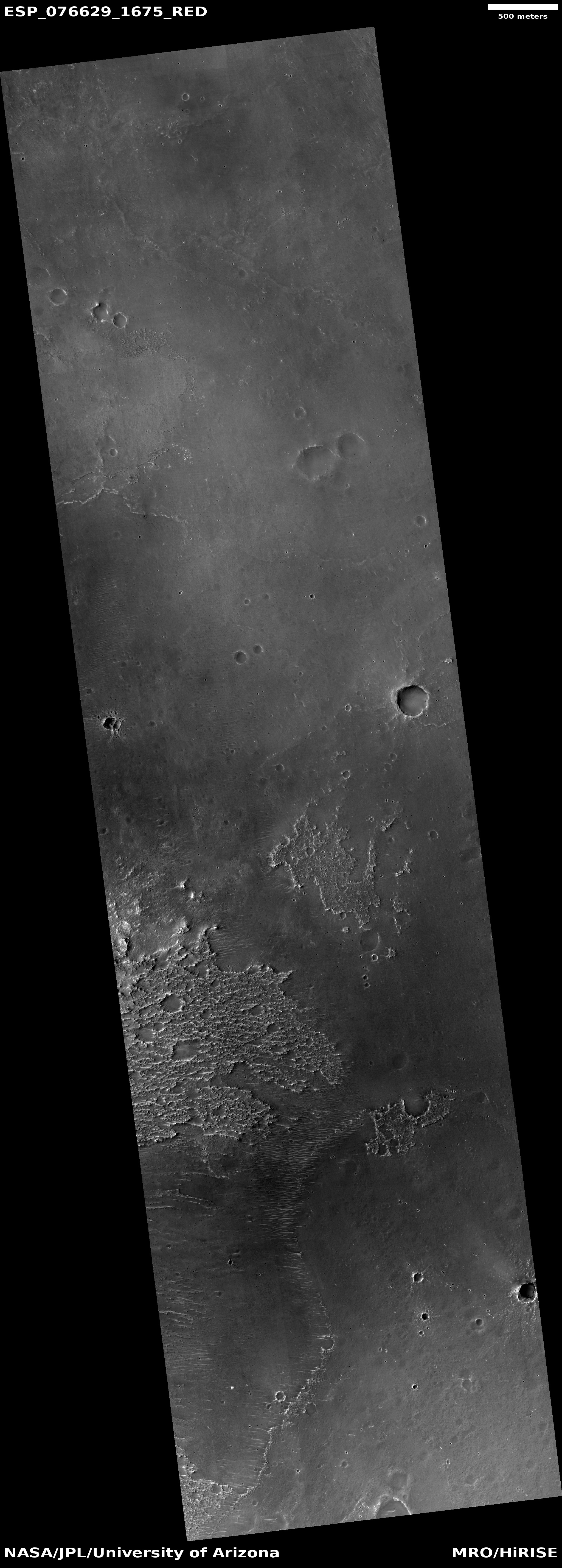
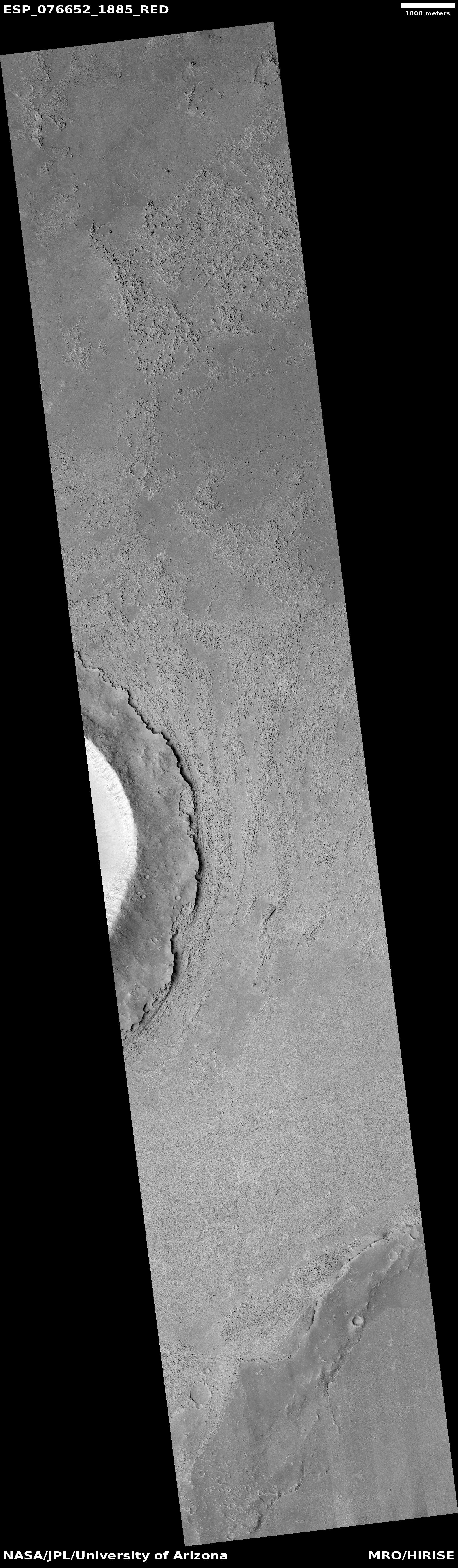
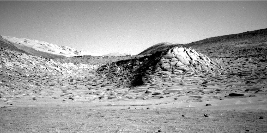
Not only does this discovery suggest that there are many possible states of water ice, with a range of properties, this new type of ice could help explain many of the features we see on planets like Mars that appear to have been caused by flowing water. Mars has a lot of glacial ice, much of which might not be ice as we assume.


