
The endless volcanic ash of Mars’ Medusae Fossae Formation
Click for original image.
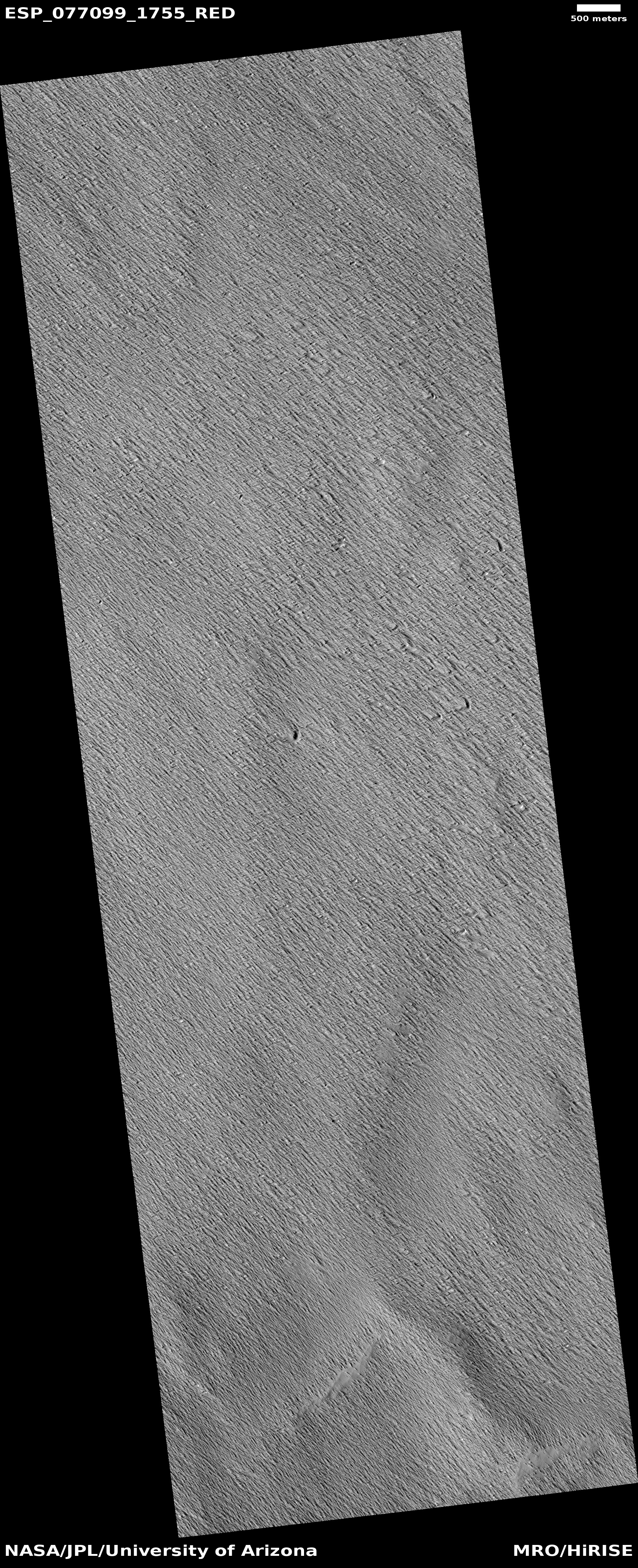
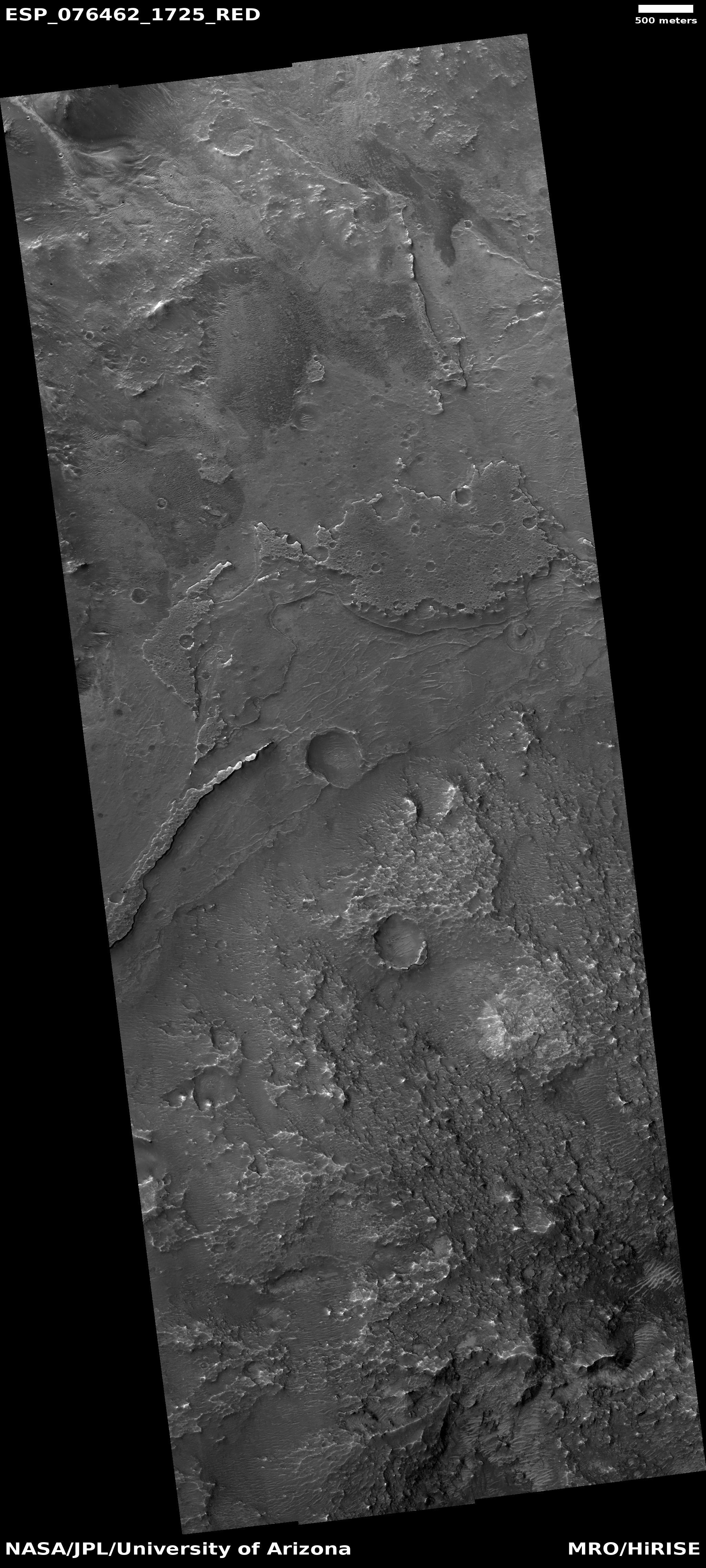
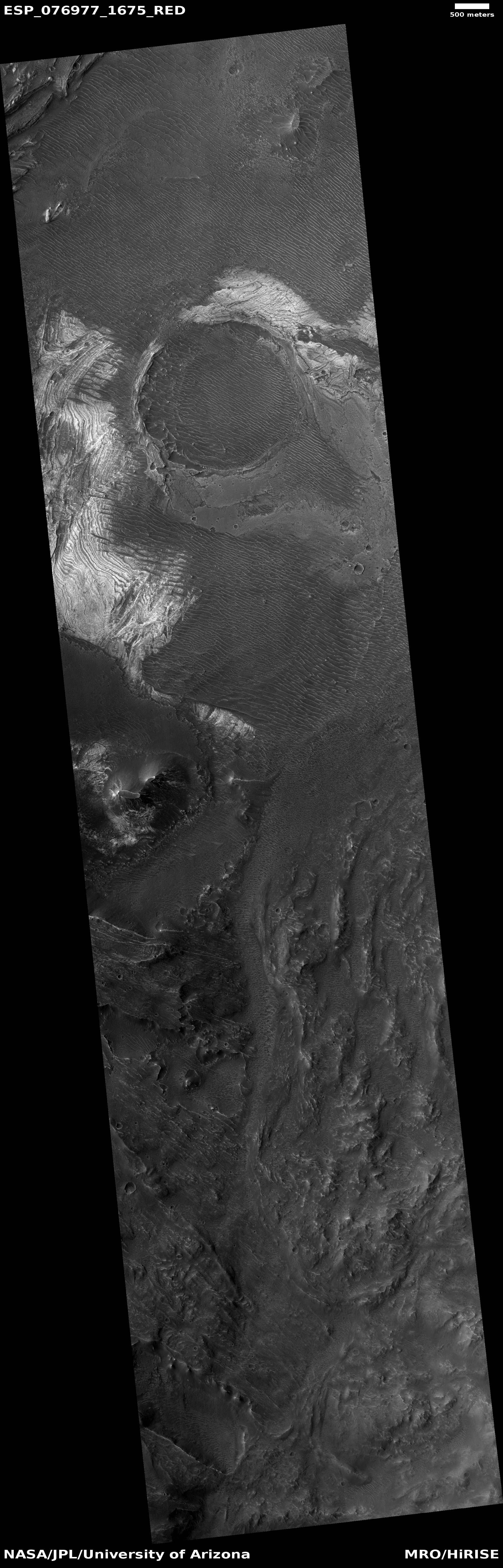
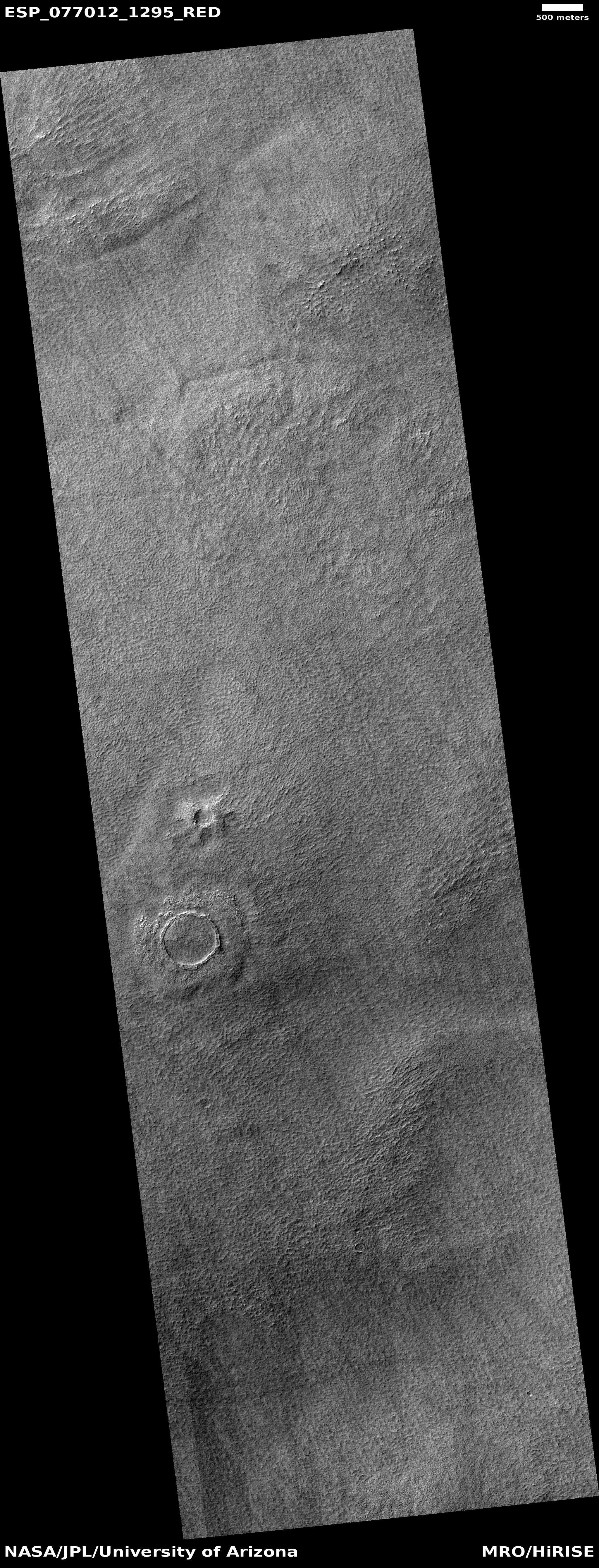
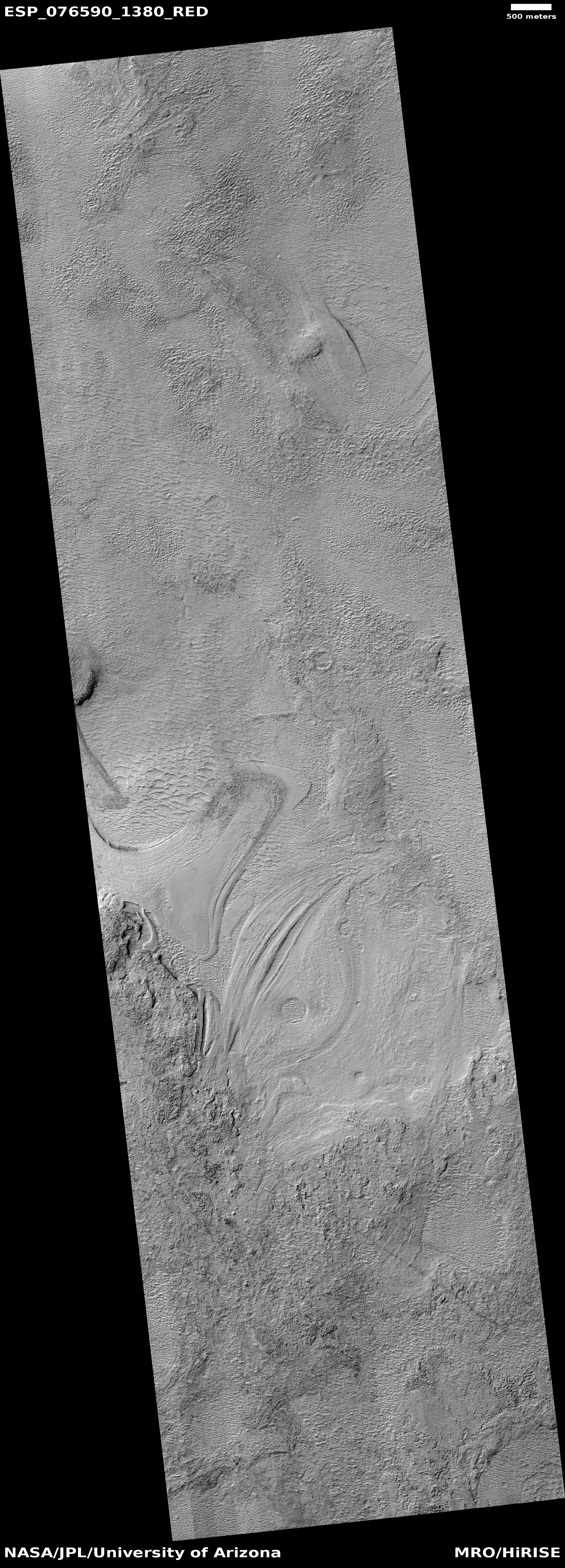
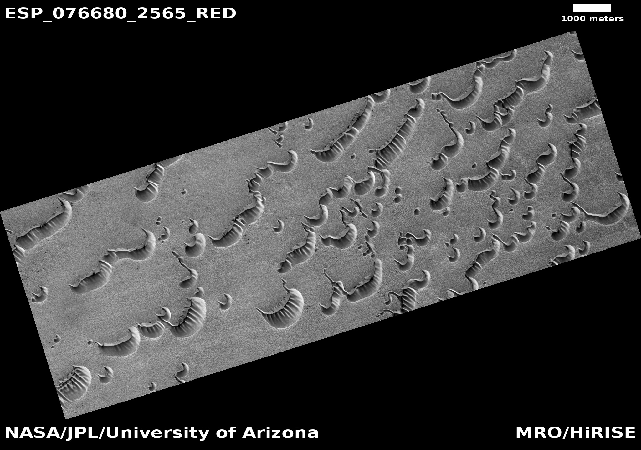
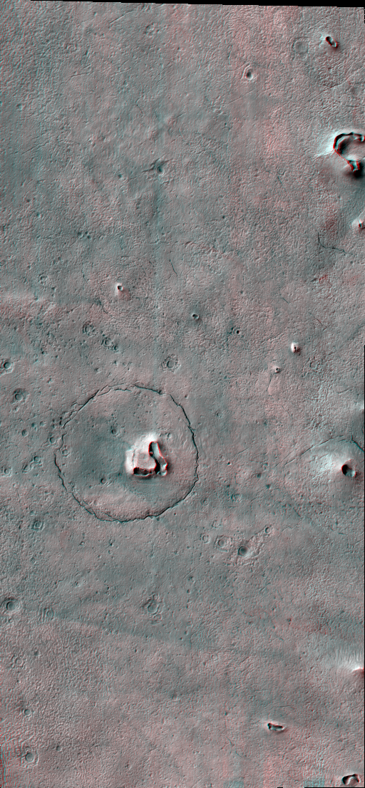
Cool image time! The picture to the right, cropped, reduced, and enhanced to post here, was taken on January 6, 2023 by the high resolution camera on Mars Reconnaissance Orbiter (MRO), and shows a small but typical area of the Medusae Fossae Formation, what is thought to be the largest volcanic ash deposit on Mars.
The picture itself was a “terrain sample,” taken by the MRO science team not as part of any specific research but to fill a gap in the camera’s schedule so as to maintain its temperature. The terrain itself looks like a field of sand that someone had run a fine comb across. In this case, the comb was the winds of Mars, prevailing from the southeast to the northwest. The crescent-like divots in the picture’s lower right are probably caused by some hard underground feature that the winds cannot blow away. Instead, it blows around, like water in rapids flowing around a rock, and takes the ash with it as it does so.
» Read more


