
Curiosity looks back across the alien landscape of Mars
Click for image.
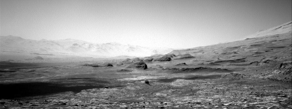
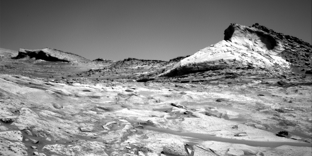
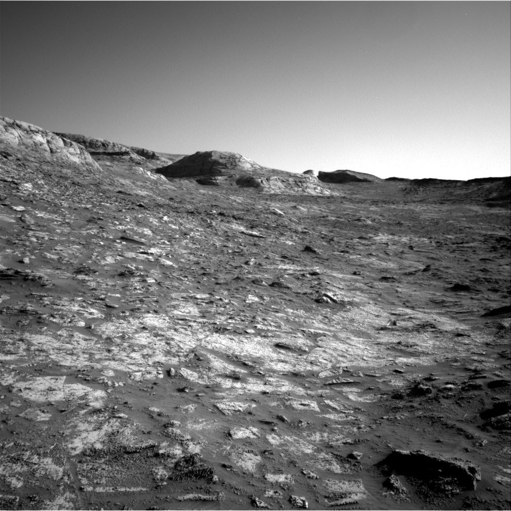
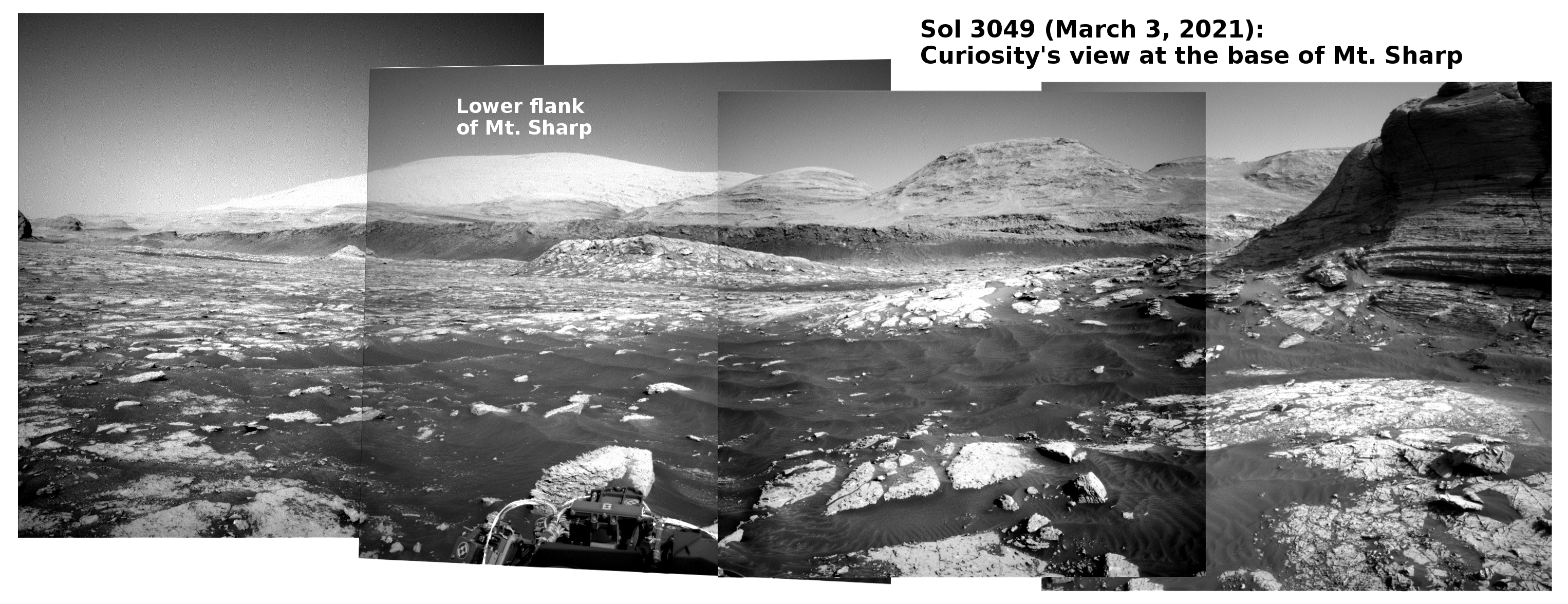
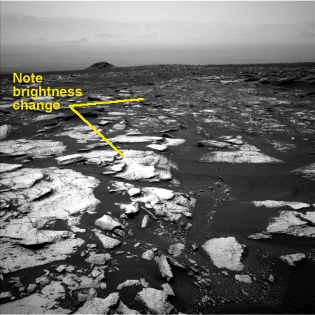
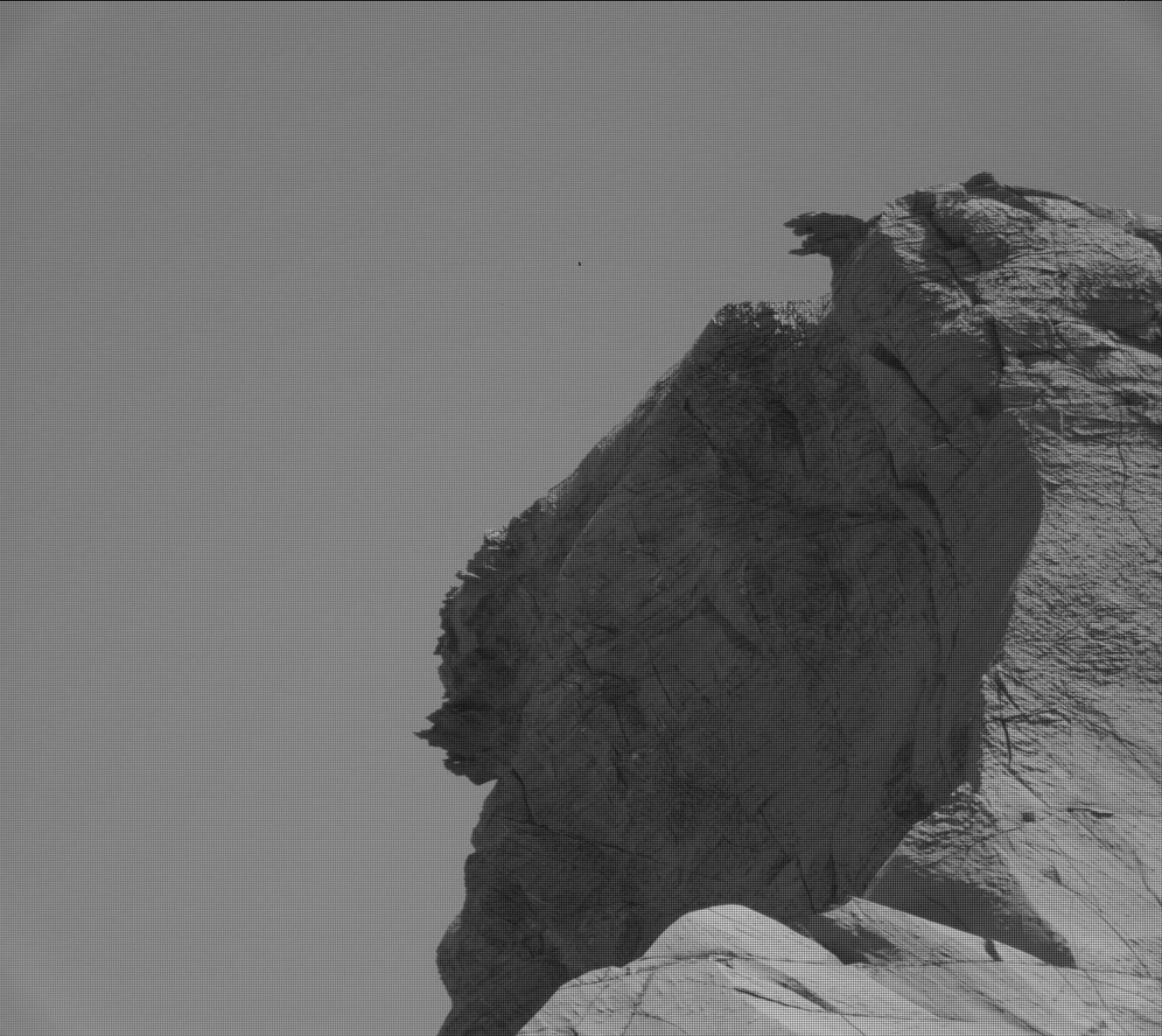
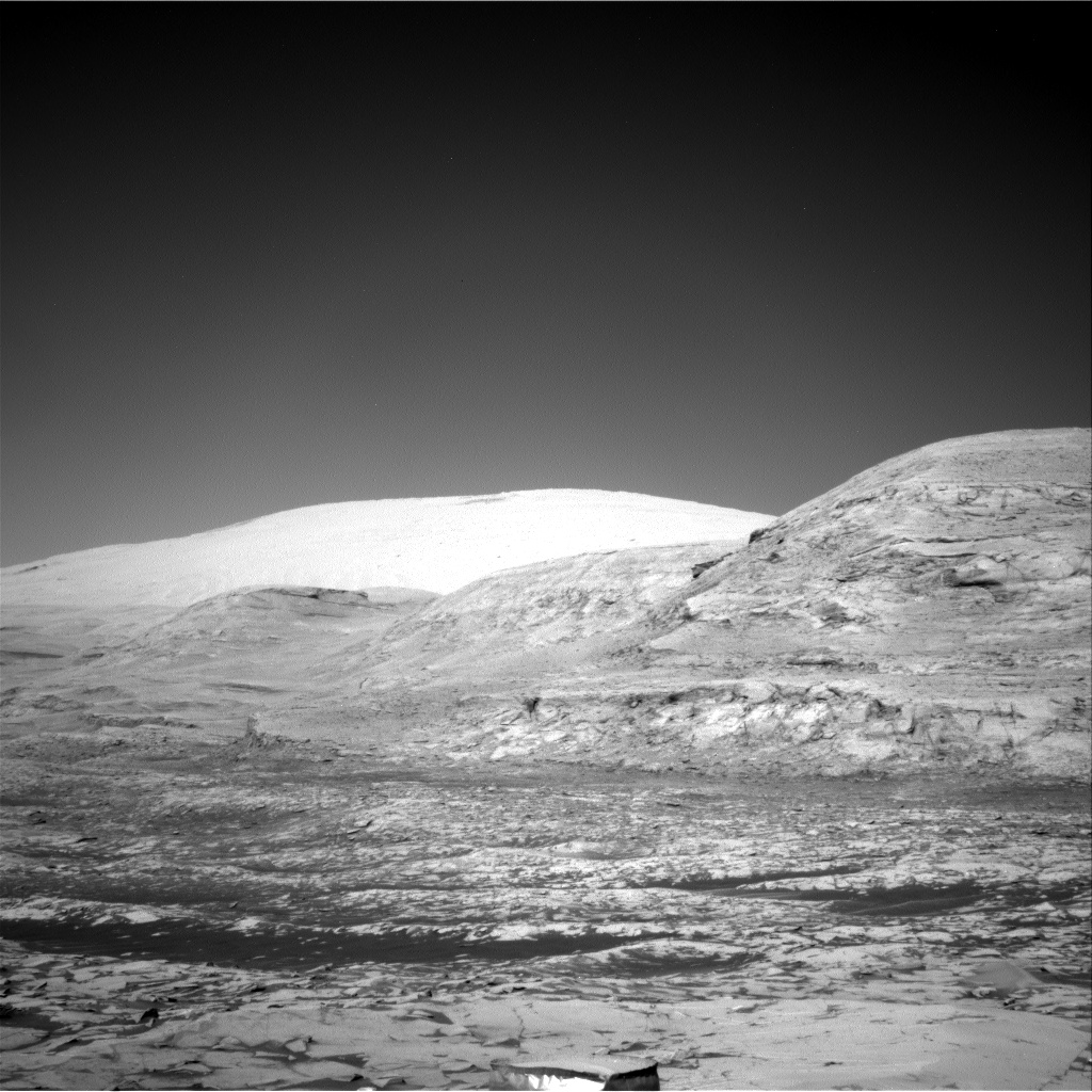
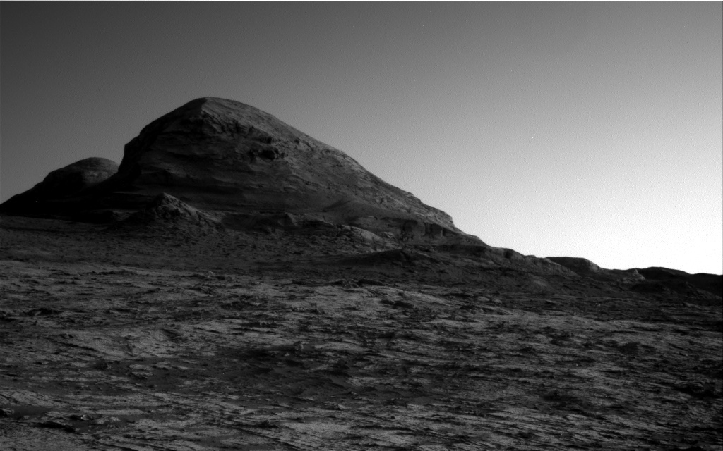
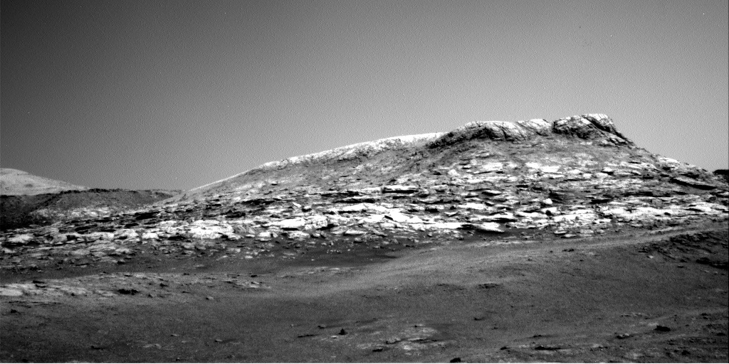
Cool image time! The photo above, the first of 21 identical images taken by Curiosity’s right navigation camera, taken at intervals of about thirteen seconds on October 31st, was probably snapped as part of an effort to spot a moving dust devil. At the resolution available to my software, I see nothing when I compare all 21 photos.
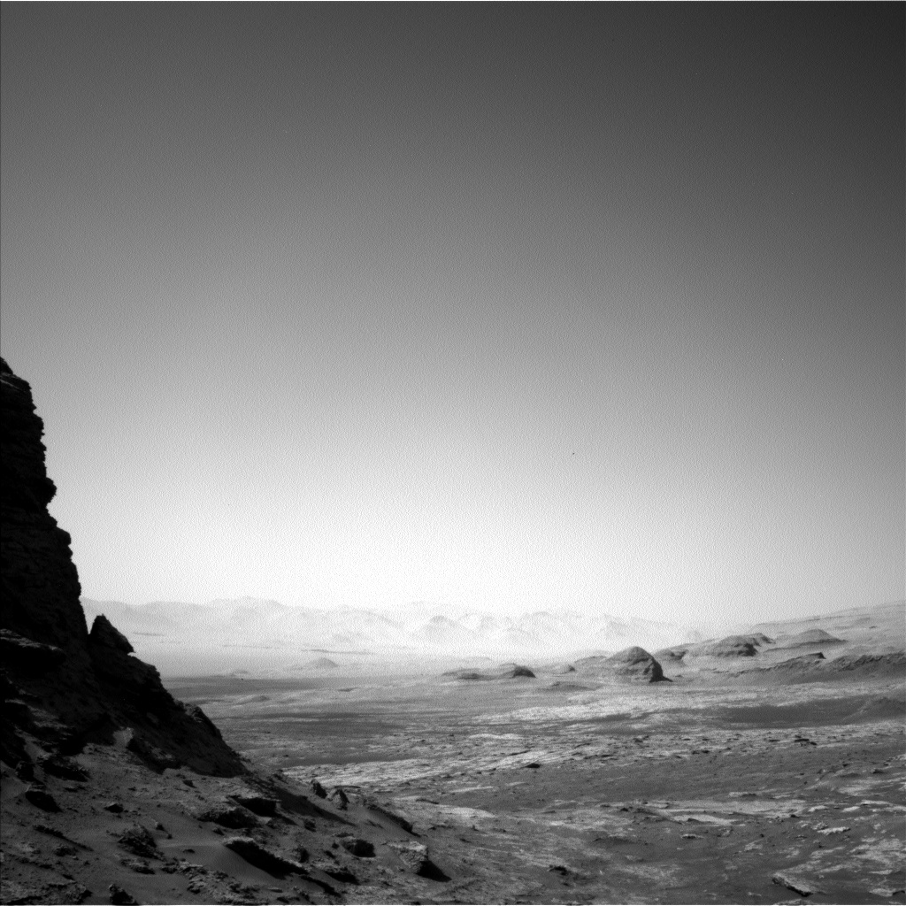
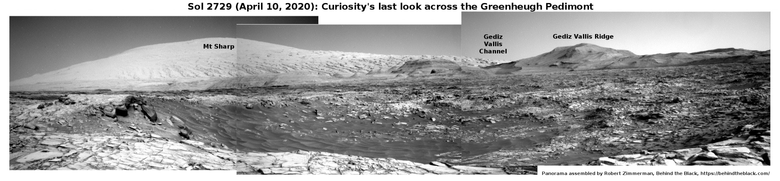
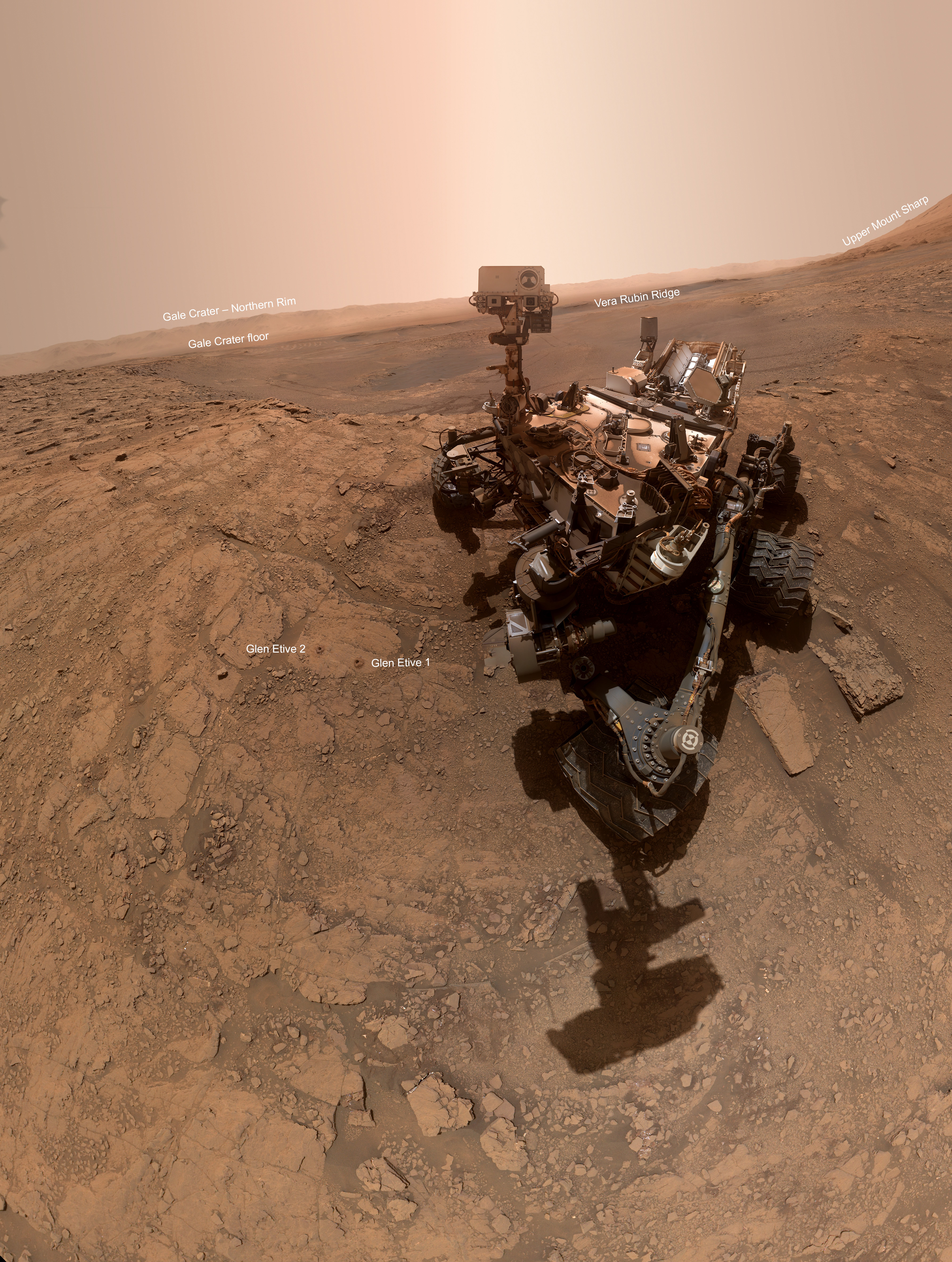
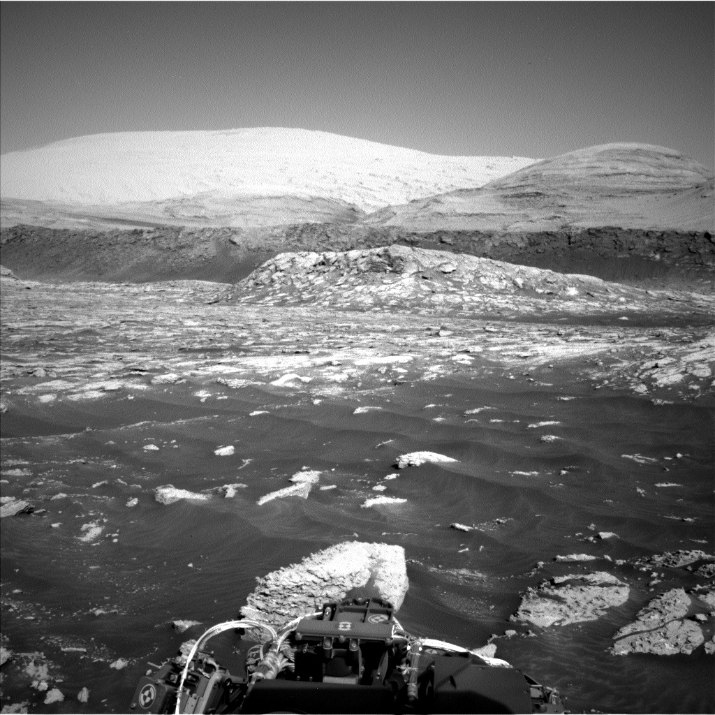
What I do see is a remarkably alien landscape. In the distance can be seen the mountains that mark the rim of Gale Crater, 30-plus miles away. On the image’s right edge you can see the rising slope heading up to the peak of Mount Sharp about 13,000 feet higher.
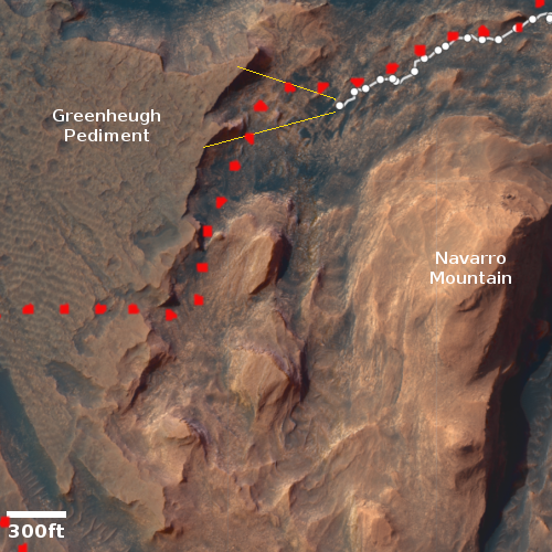
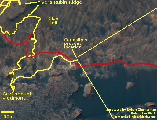
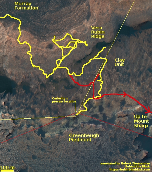
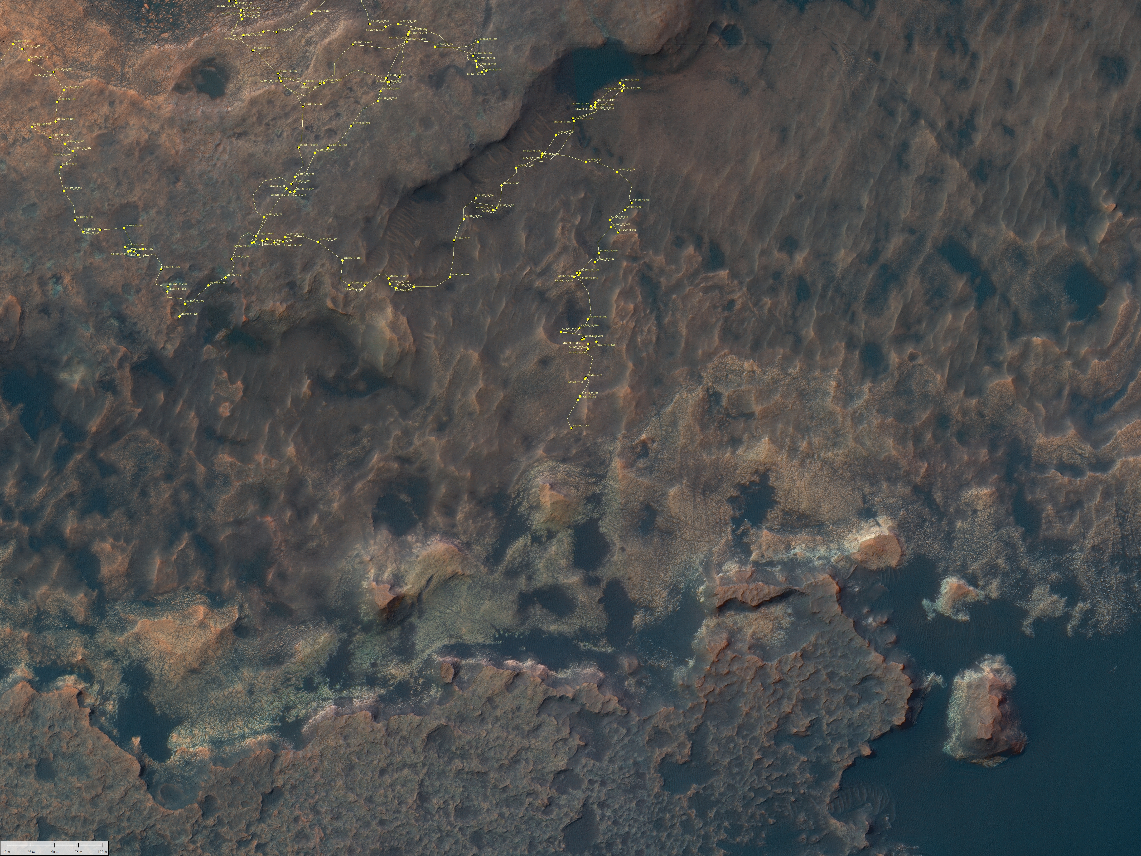
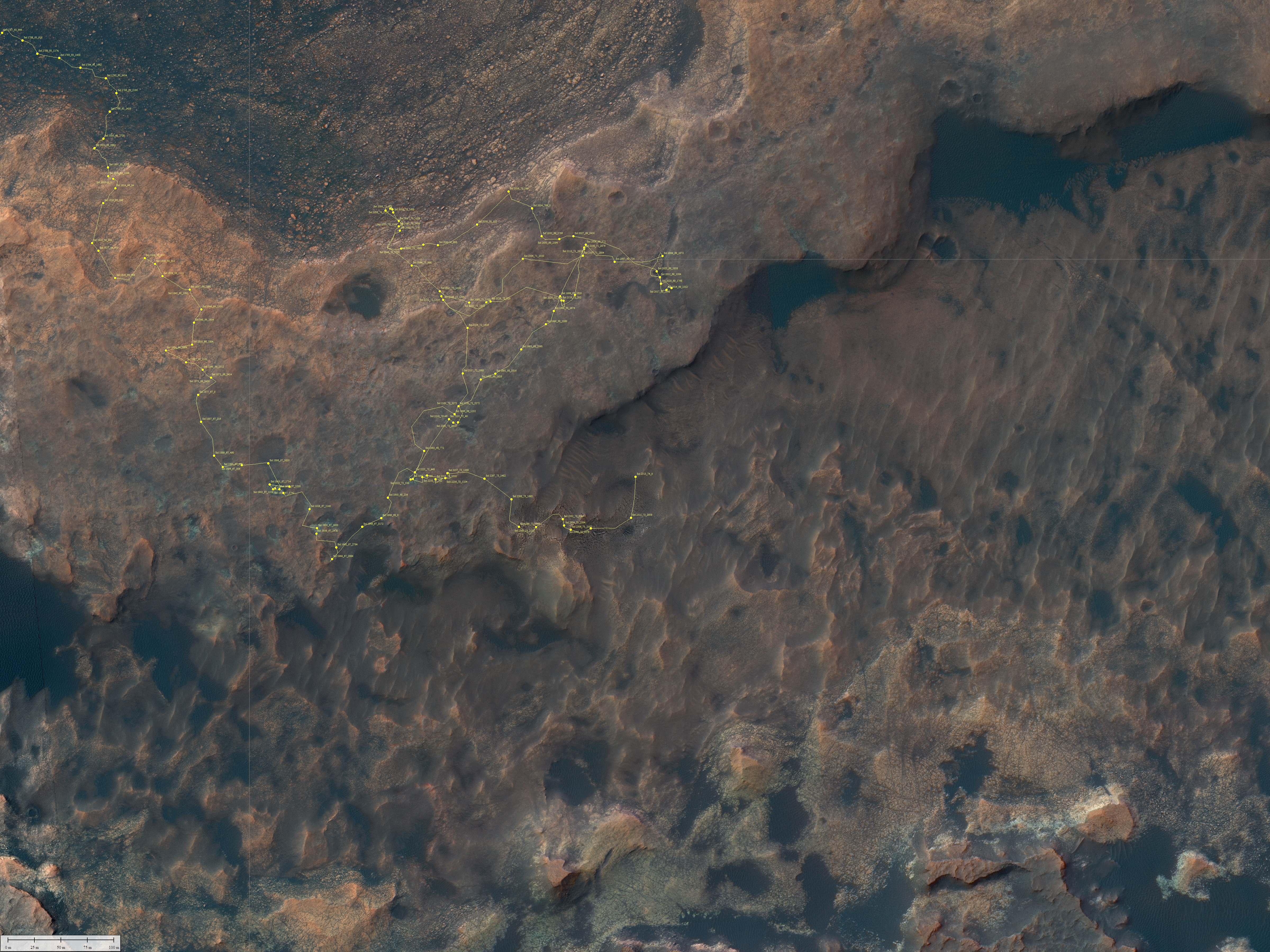
In the center are those blobby mesas that make this terrain look so strange. For the past decade Curiosity has been traveling from the floor of the crater on the picture’s far left to circle around that dark sand dune sea to climb up the mountain slopes in the foreground in front of those mesas.
It is now heading to the right, into the mountains that make up Mount Sharp. Such a view of the floor of Gale Crater will thus be for the next few years more difficult to catch, as the mountains themselves will block the view. Assuming the rover survives long enough, it will have to climb much higher before it can get such an expansive view again.

Click for image.
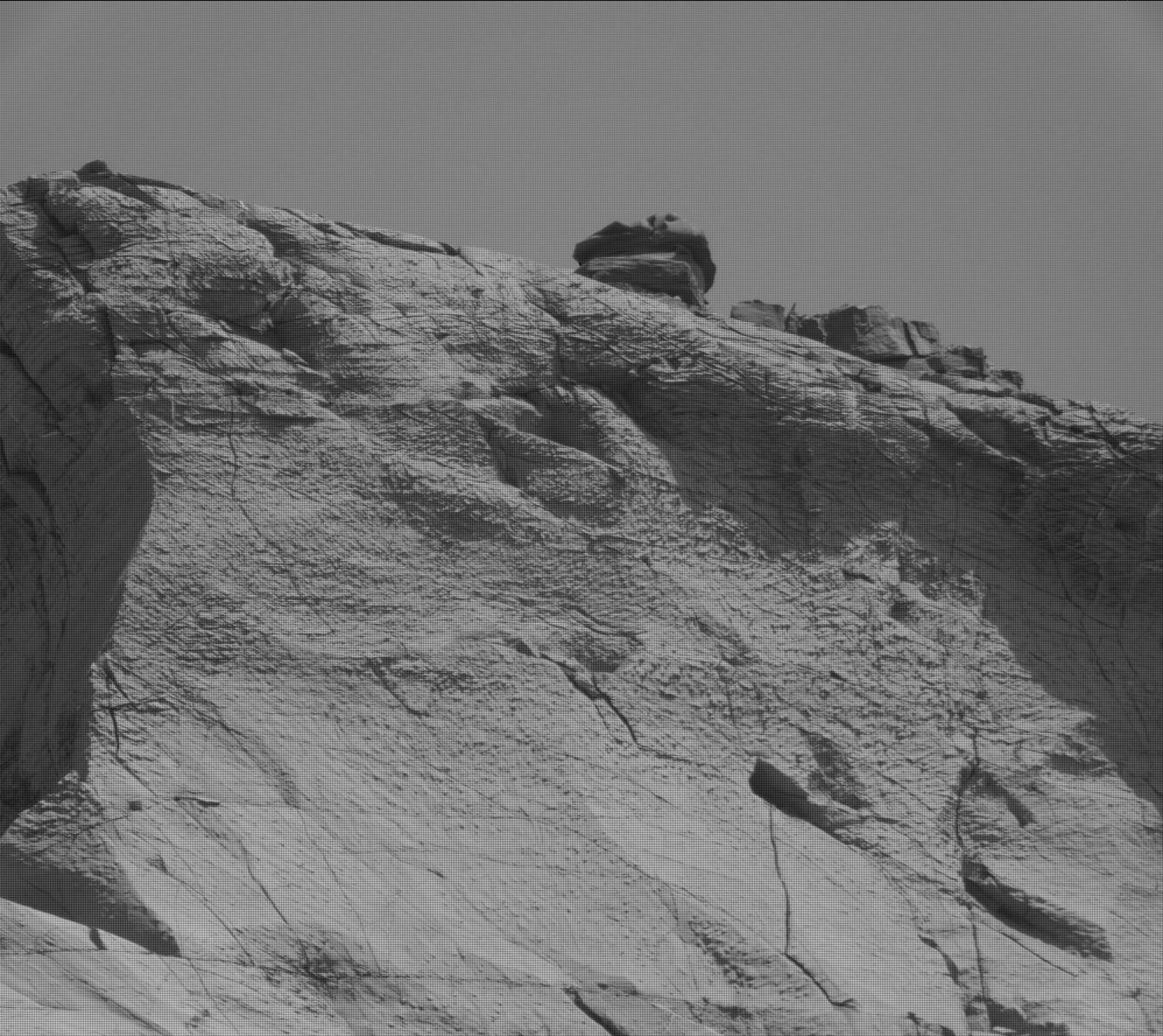
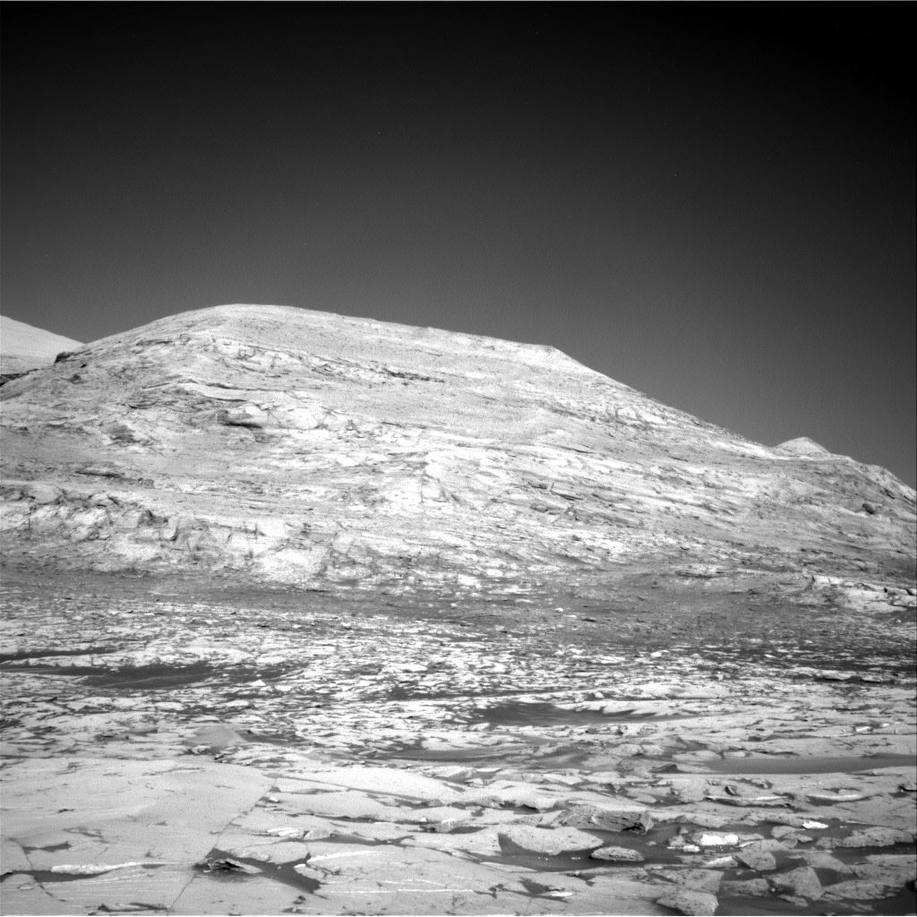
Cool image time! The photo above, the first of 21 identical images taken by Curiosity’s right navigation camera, taken at intervals of about thirteen seconds on October 31st, was probably snapped as part of an effort to spot a moving dust devil. At the resolution available to my software, I see nothing when I compare all 21 photos.
What I do see is a remarkably alien landscape. In the distance can be seen the mountains that mark the rim of Gale Crater, 30-plus miles away. On the image’s right edge you can see the rising slope heading up to the peak of Mount Sharp about 13,000 feet higher.
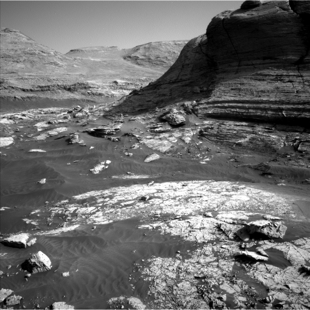
In the center are those blobby mesas that make this terrain look so strange. For the past decade Curiosity has been traveling from the floor of the crater on the picture’s far left to circle around that dark sand dune sea to climb up the mountain slopes in the foreground in front of those mesas.
It is now heading to the right, into the mountains that make up Mount Sharp. Such a view of the floor of Gale Crater will thus be for the next few years more difficult to catch, as the mountains themselves will block the view. Assuming the rover survives long enough, it will have to climb much higher before it can get such an expansive view again.


