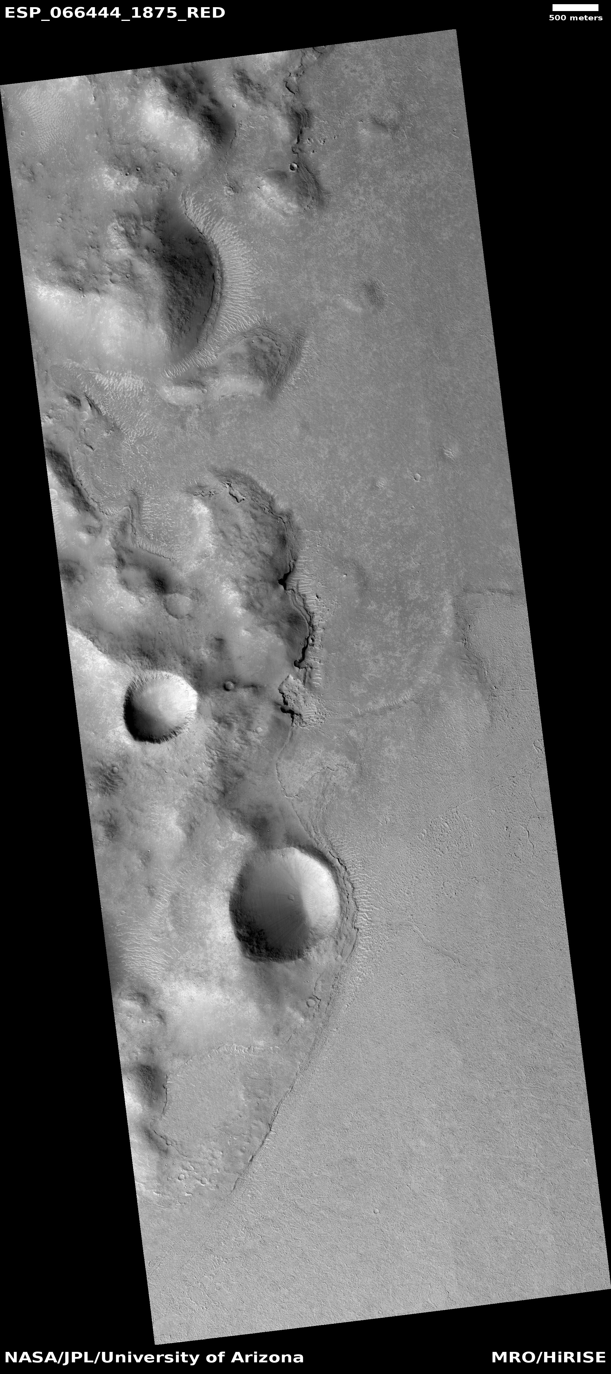
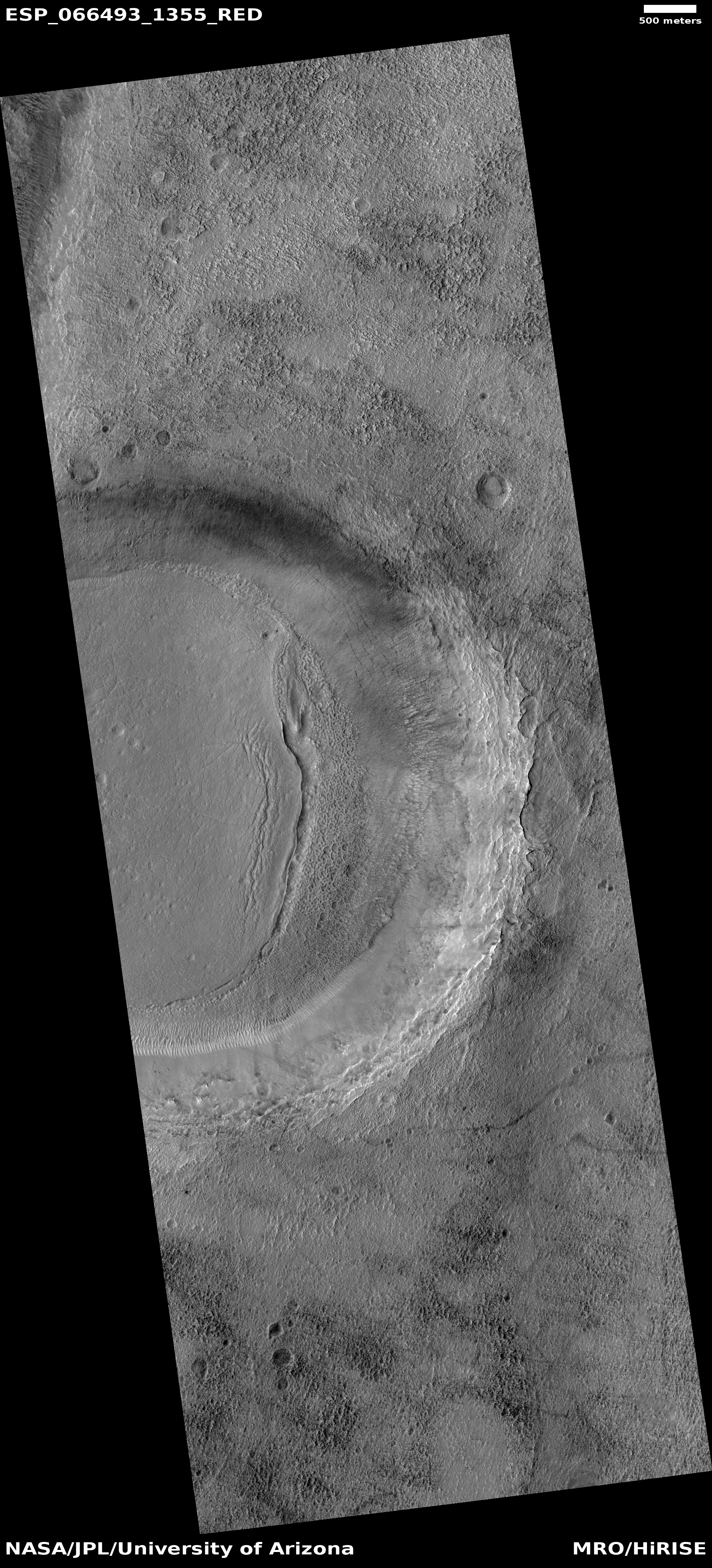
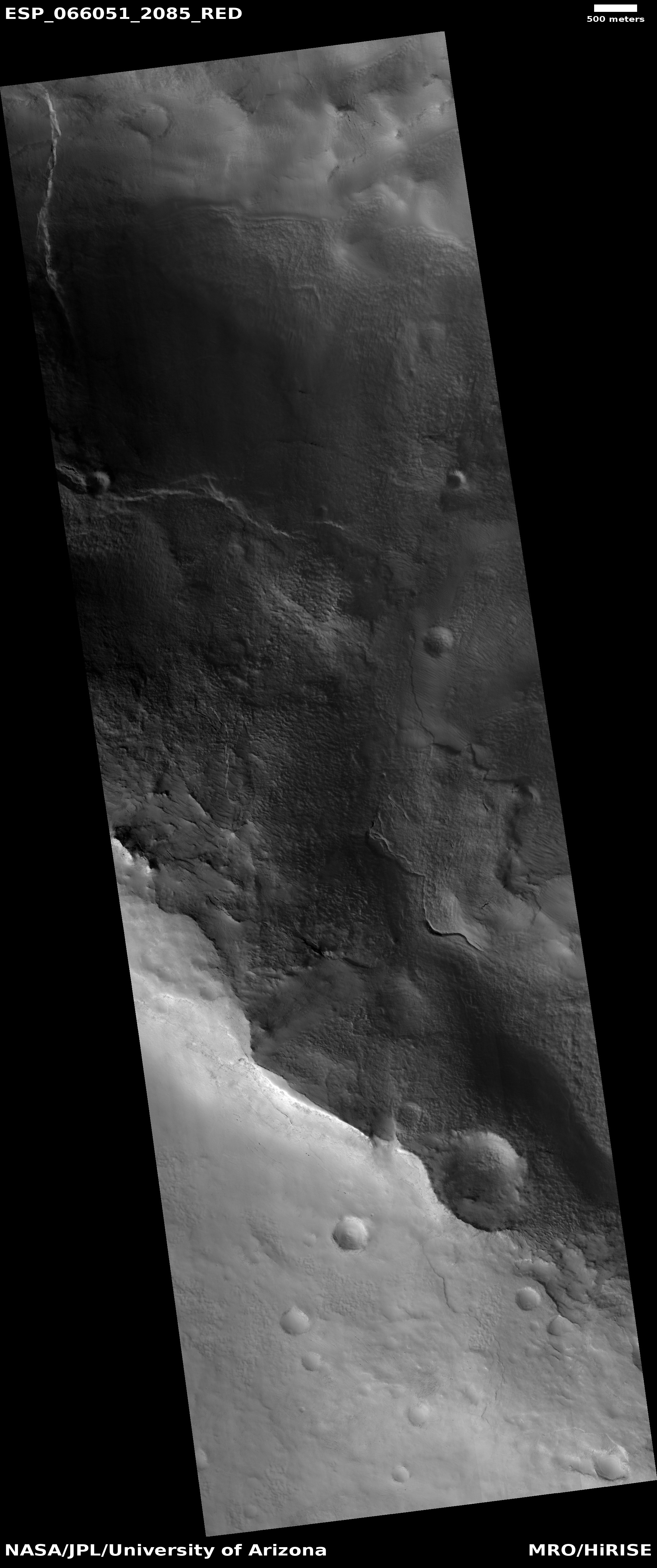
Click for full image.
Cool image time! Over the past few years, in my endless rummaging through the archive of high resolution images from Mars Reconnaissance Orbiter (MRO) I have posted a lot of photos of meandering channels of all kinds, most of which evoke to Earth eyes canyons eroded by flowing water. (This September 2020 cool image is just one of the more recent examples.)
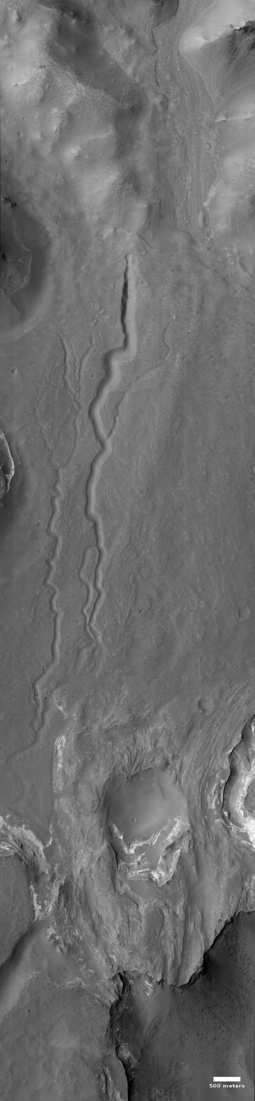
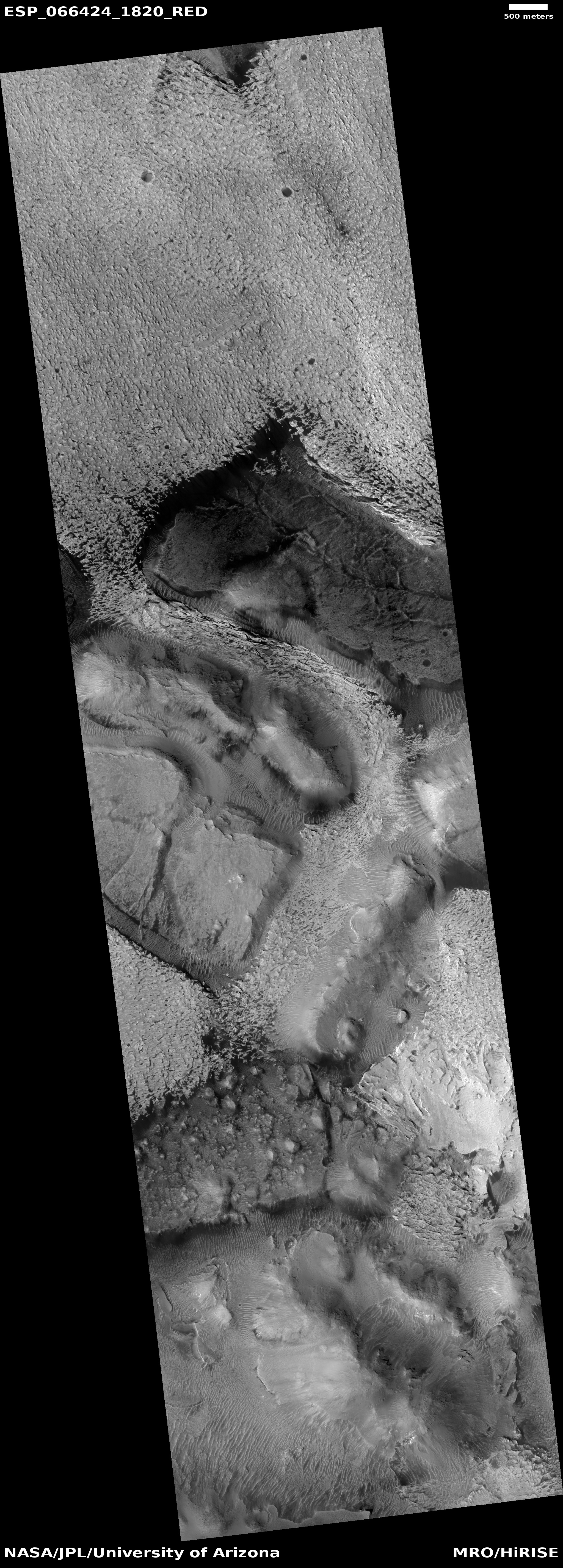
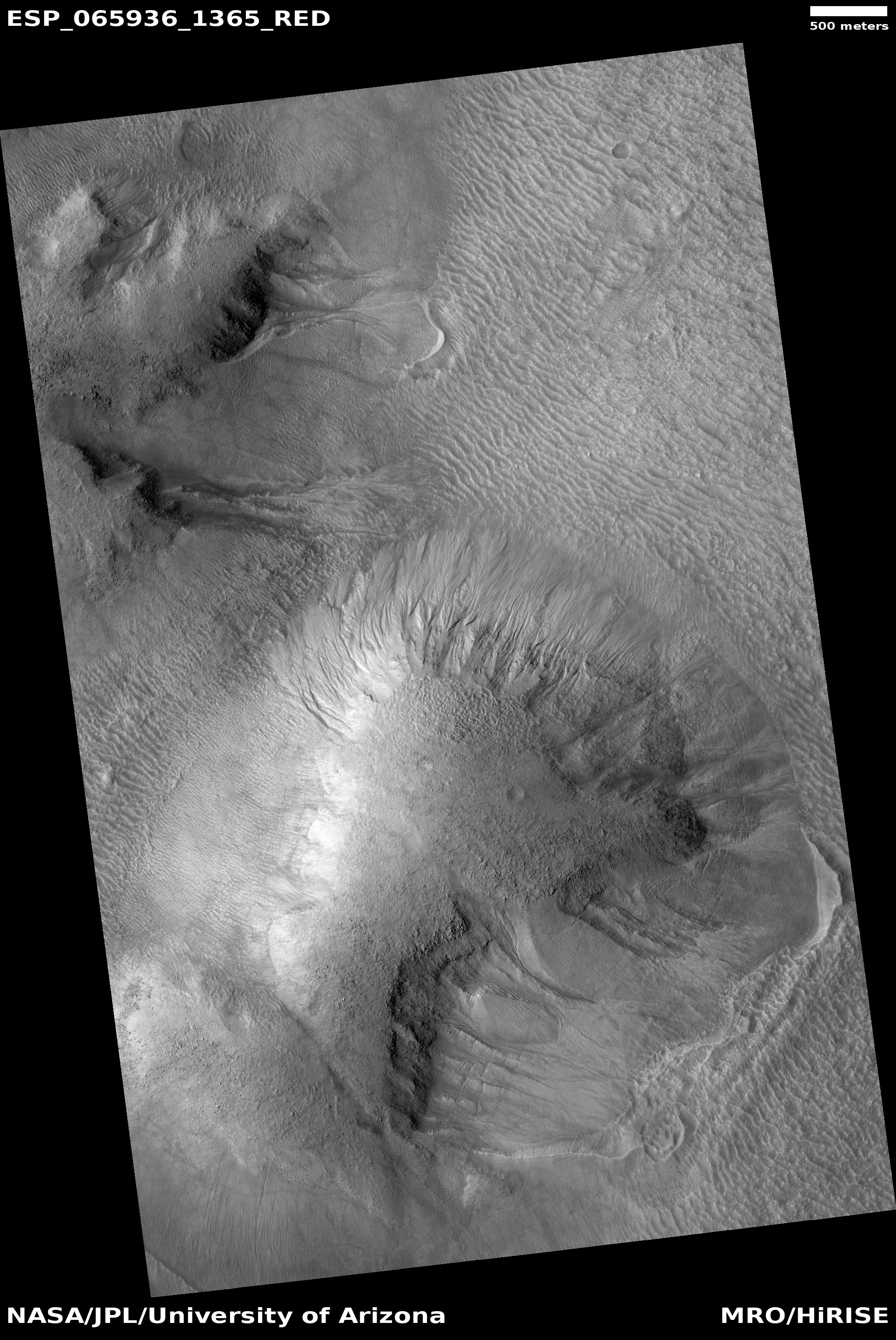
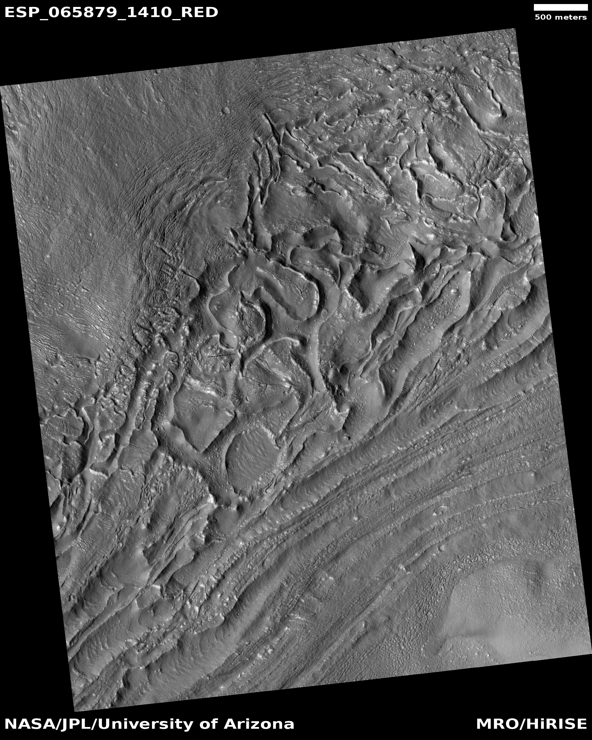
Today’s cool image is another example, but in this case it is only a very small part of a very large drainage basin that is more than a hundred miles across and extends at least that far southward into the basement of Mars, Hellas Basin, the place on Mars with the lowest elevation.
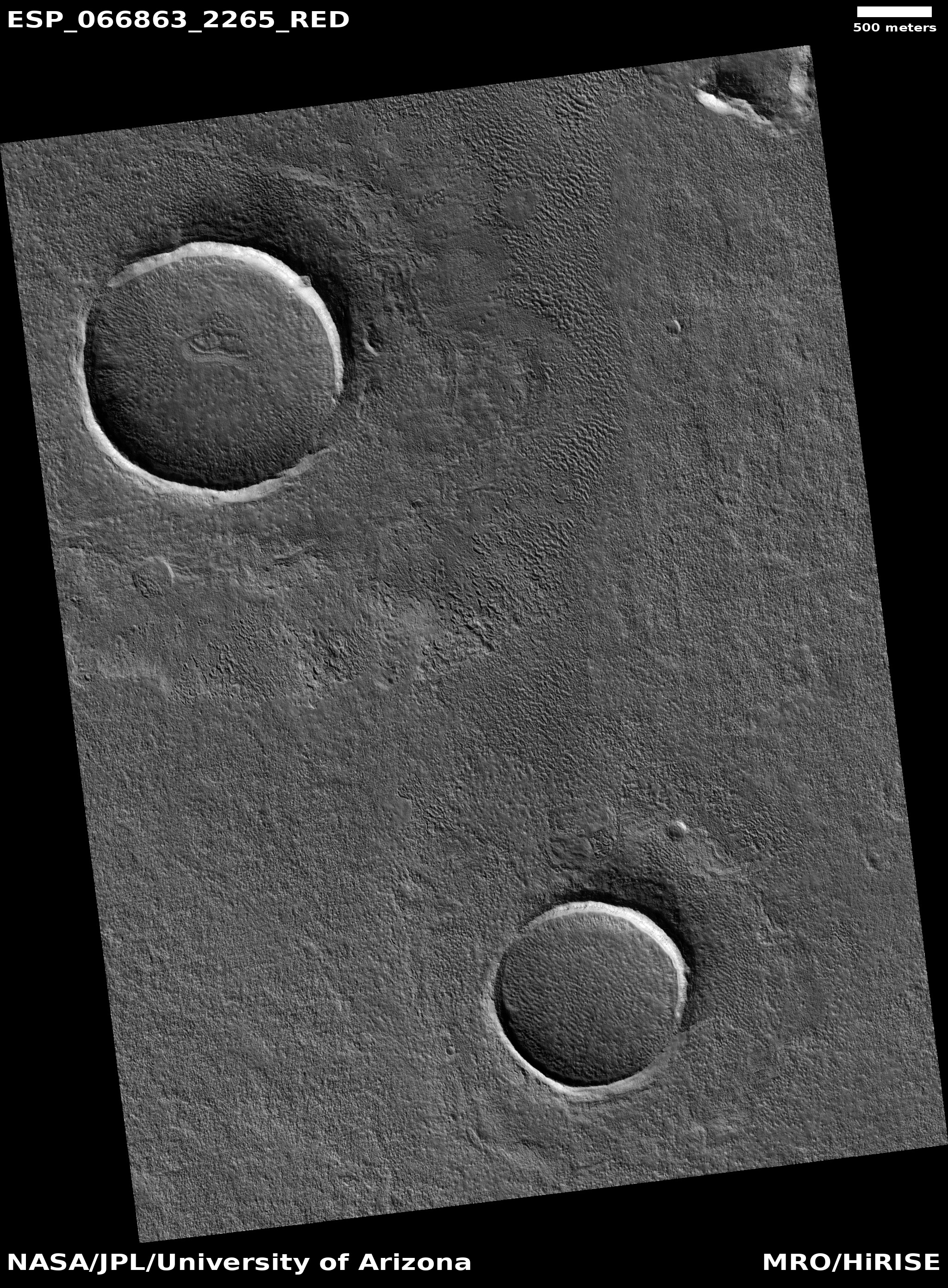
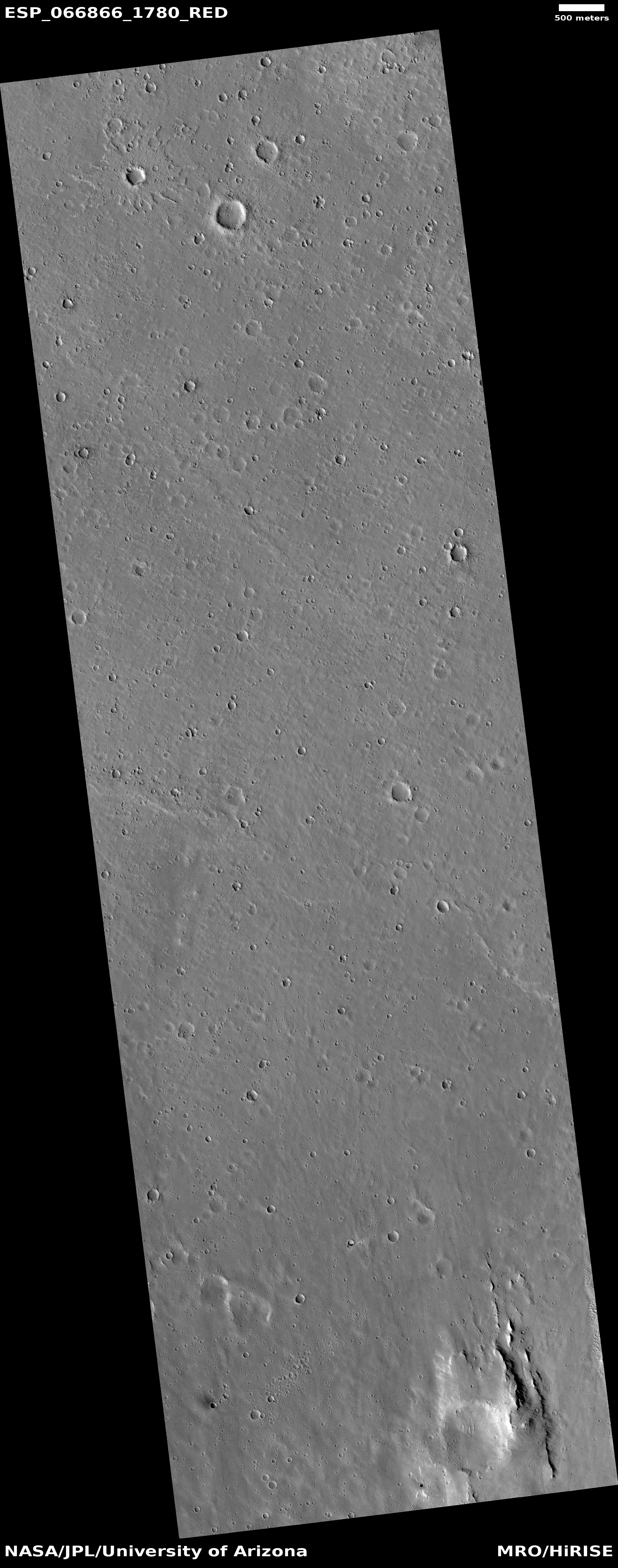
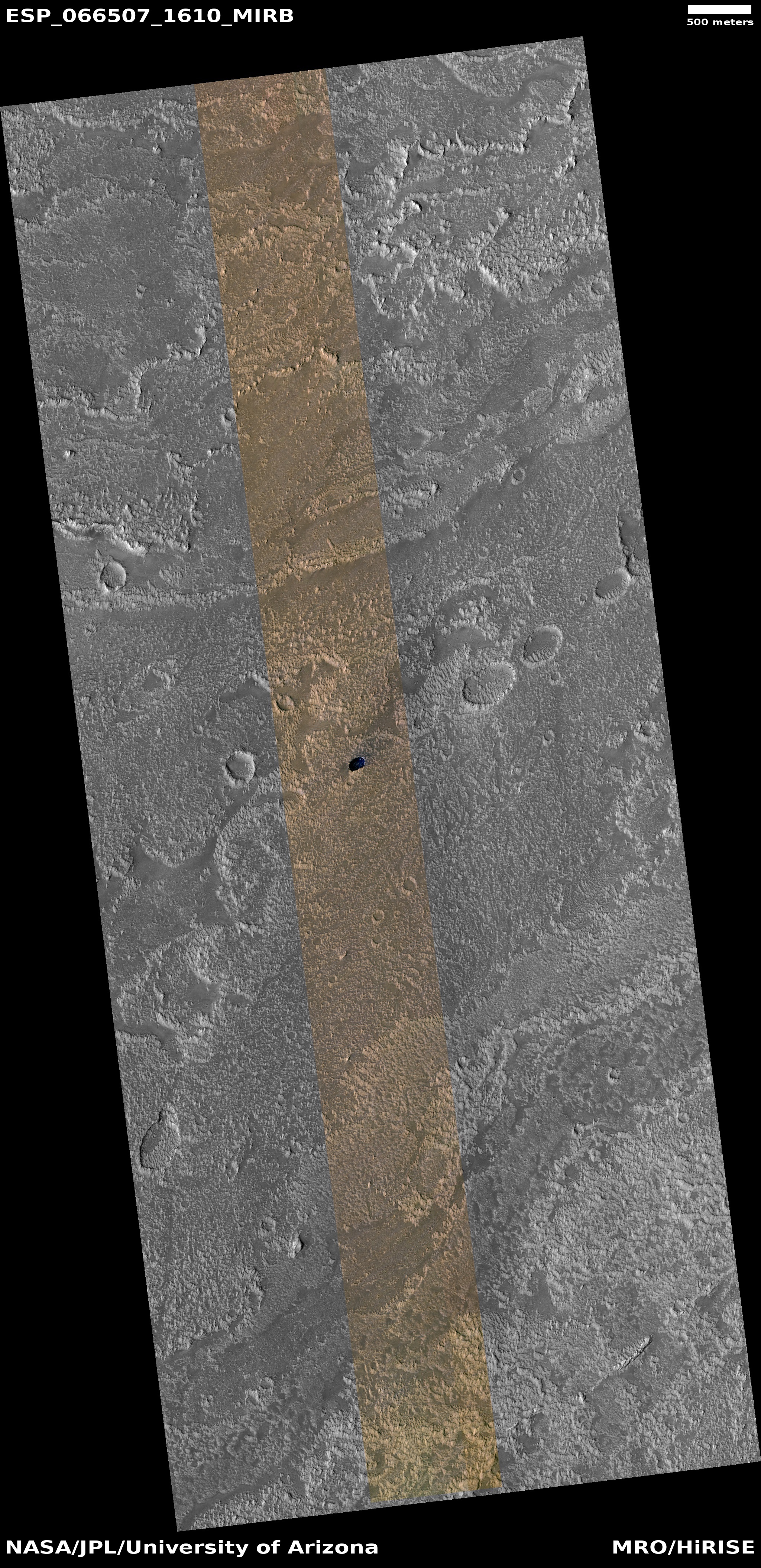
The photo to the right, rotated and reduced to post here, was taken on September 12, 2020 by the high resolution camera on MRO. I normally wouldn’t post the whole image, but to crop it would mean you wouldn’t get the sense of extensive nature of this drainage. Downhill is to the south. The channel apparently passes through three or four stages. First, its northernmost section is in a wide canyon, the floor of which resembles glacial debris (though with a latitude of 27 degrees south this is a bit too close to the equator for ice). More likely we are looking at wind-blown sand and dunes being pulled downhill in the floor of the canyon.
This first canyon is also actually a gap in the rim of a 13-mile-wide unnamed crater. See this MRO context camera image for a wider view.
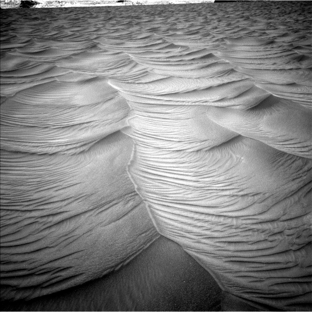
Next, the drainage becomes a series of meandering small interweaving channels, resembling the channels often seen in beach mud as the tide goes out.
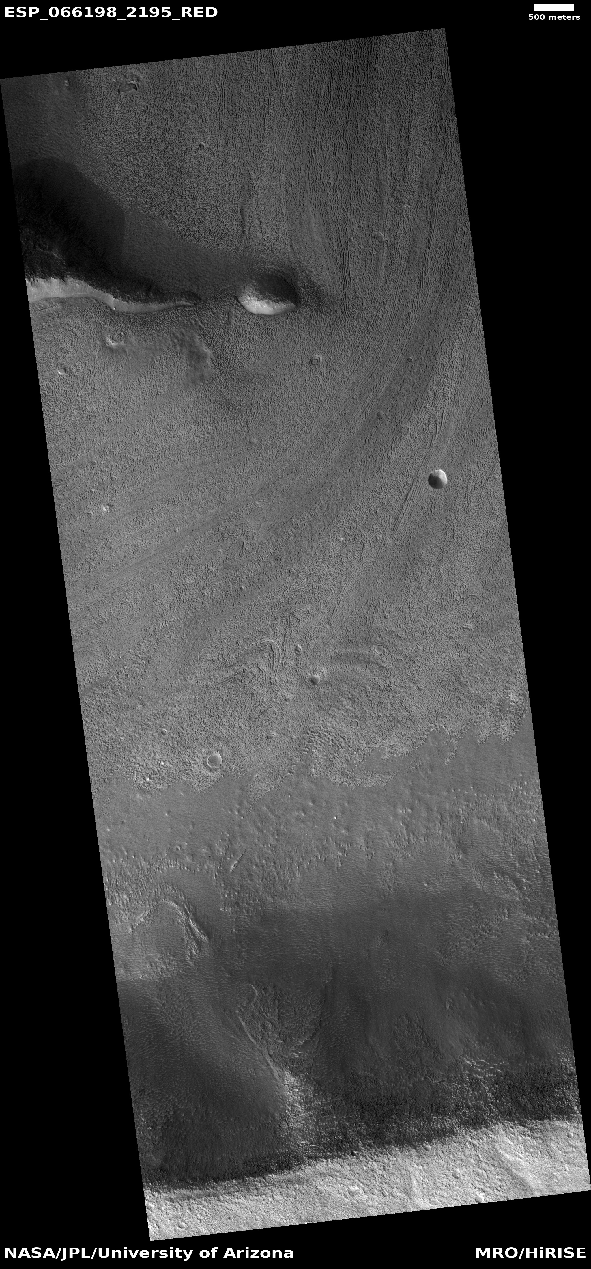
Finally, the channels head into a gap to fall over a sloping cliff into lower terrain.
Nor these stages entirely linked. The first glacial-like stage exiting the gap in the crater appears to drain to the southeast, while the second seems to emanate from what appears to be a very faint small crater now partly buried. Both head south toward the gap, but the path of the eastward drainage appears less obvious. Some of it flowed westward to join the meandering channels but some also appears to work its way south more to the east.
This one image shows a lot of channels, but it is only a very small slice of this whole drainage system. In fact, we are looking here at only one strip of the interior slope of the northern rim of 108-mile-wide Terby Crater.
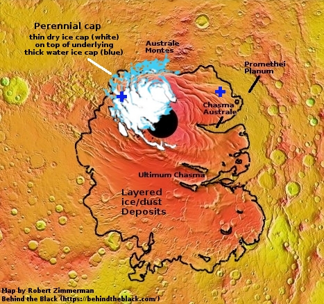
The overview map below gives the larger context. Terby Crater sits on the northern border of Hellas Basin, which in itself extends another 1,500 miles to the south. From this point the drop in elevation into Hellas is almost four miles.
» Read more


