
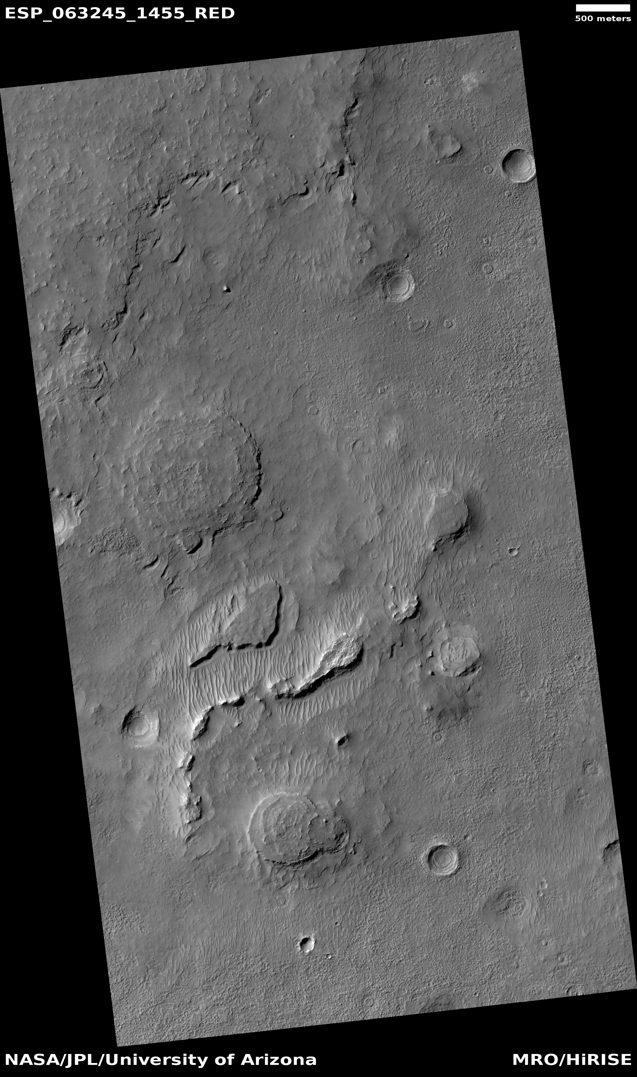
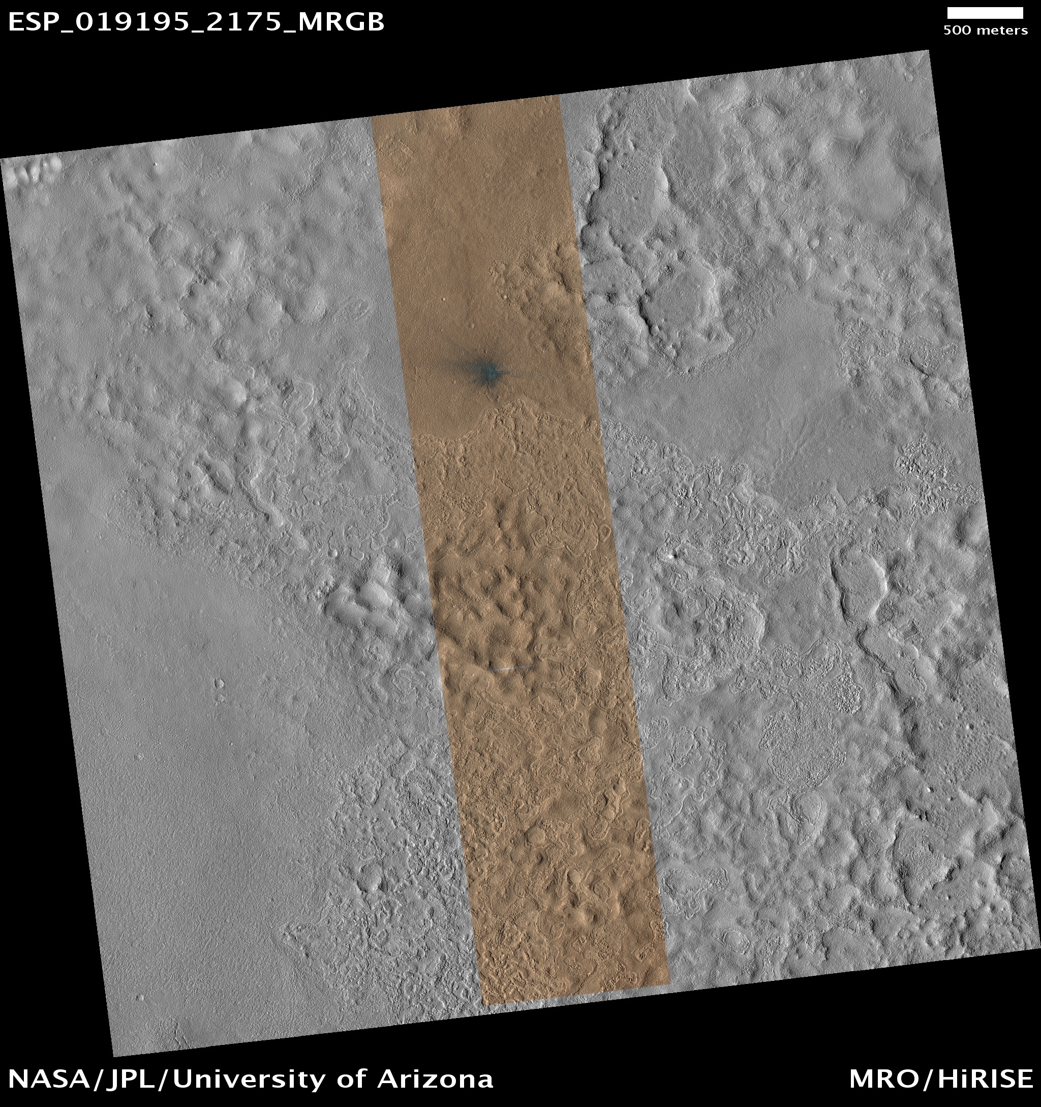
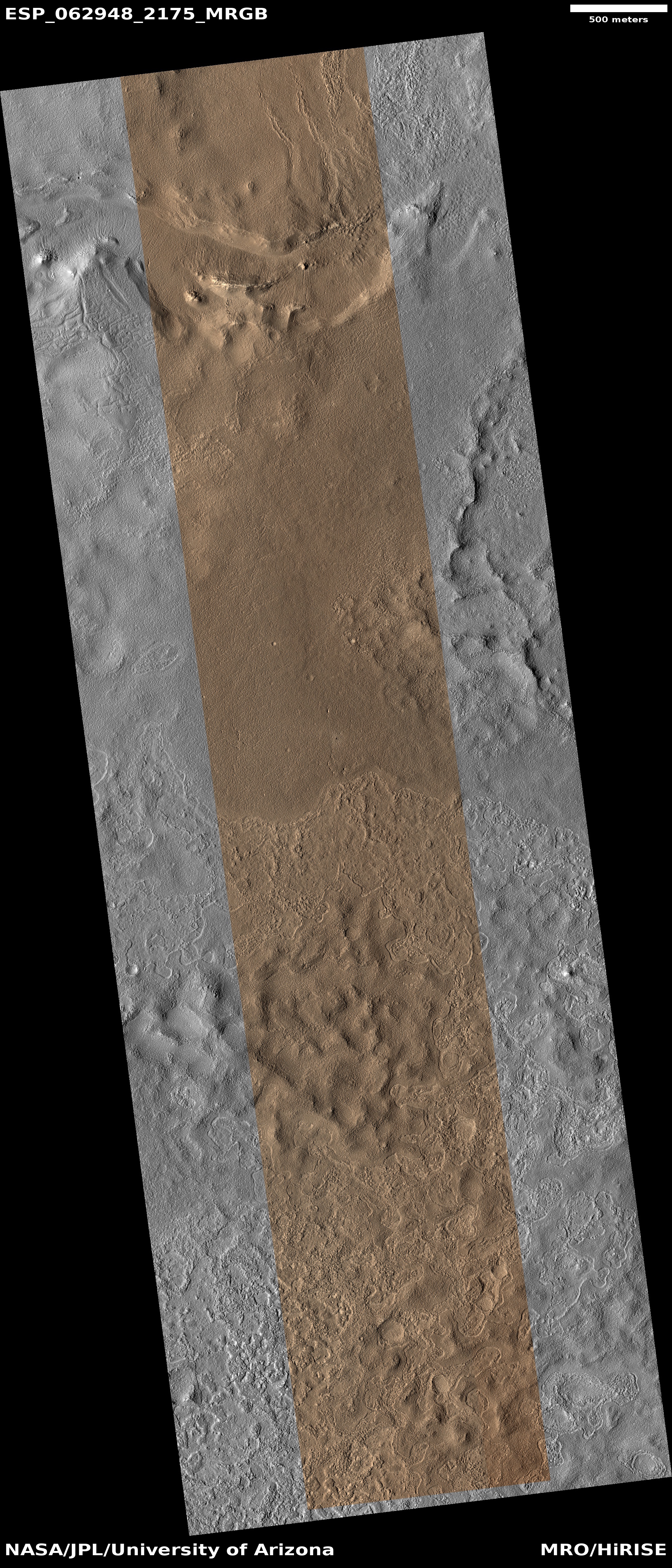
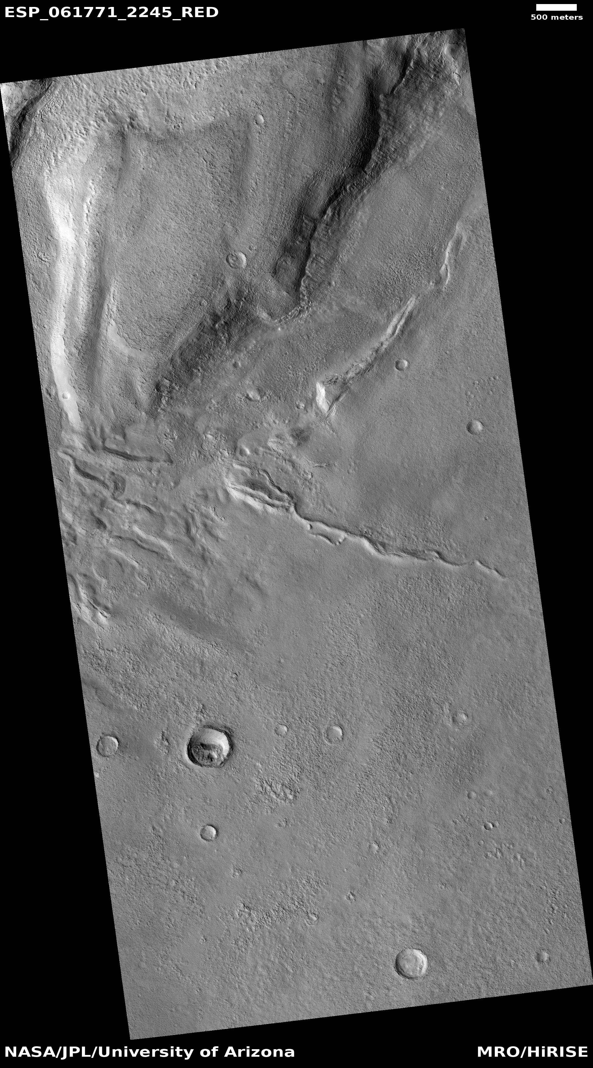
Enigmas on Mars
Click for full image.
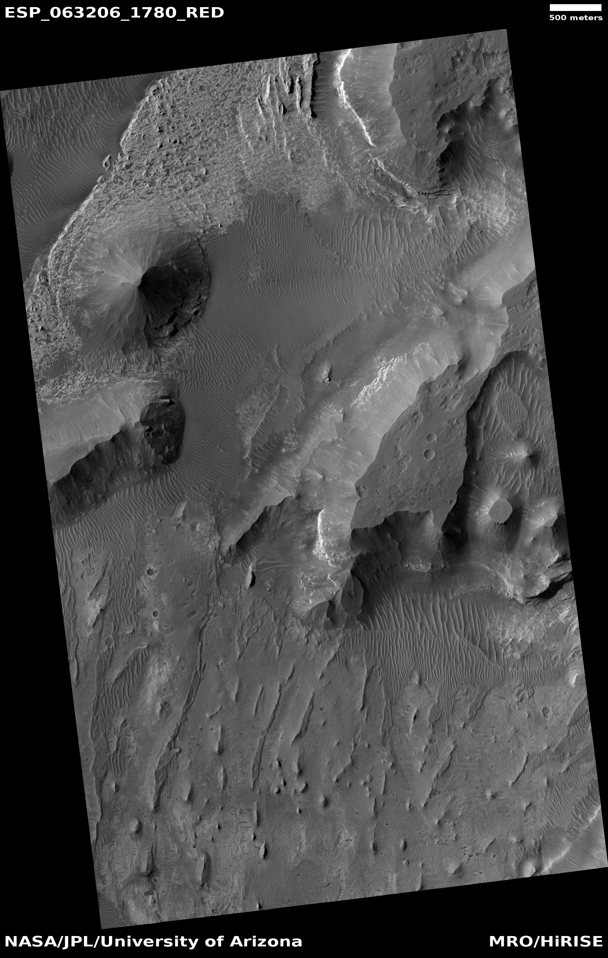
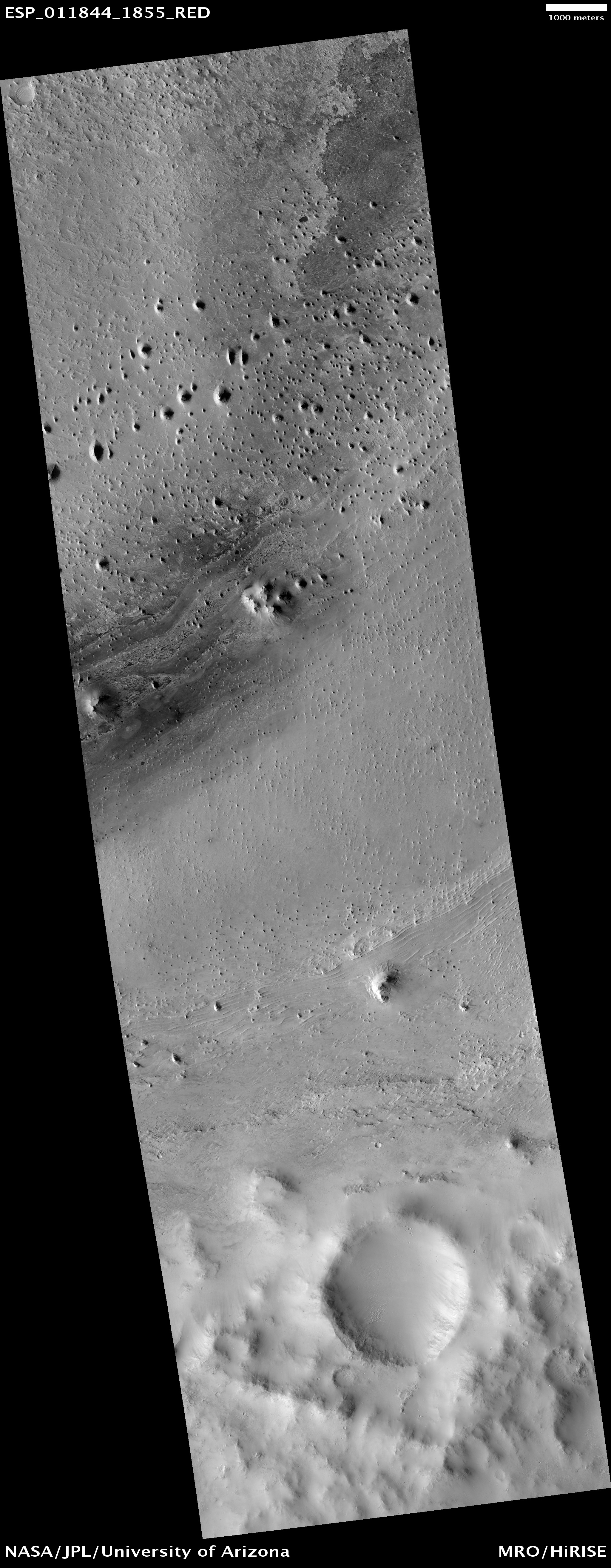
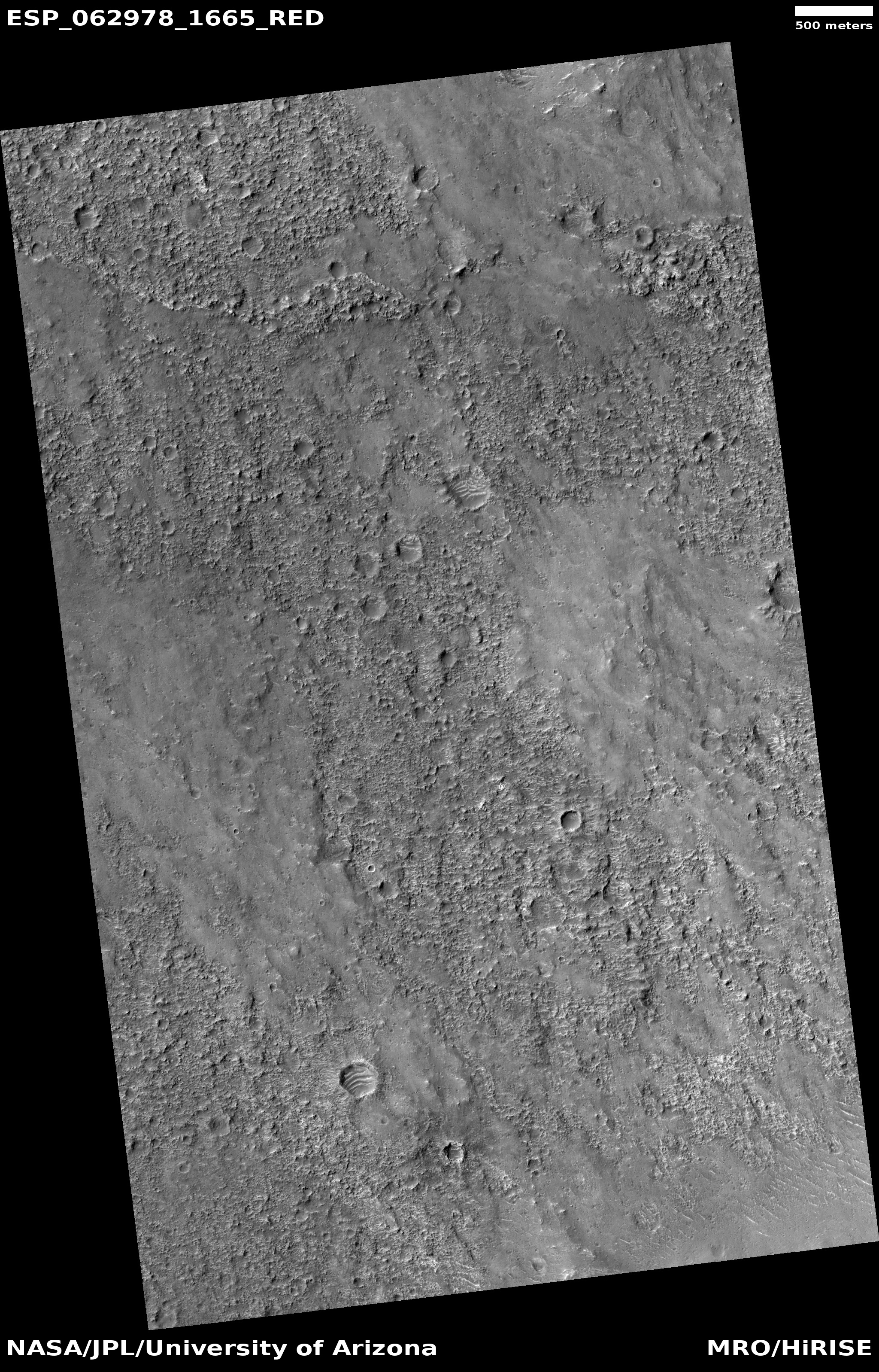
Cool image time! The photo on the right, cropped and reduced to post here, is a perfect example of the difficulty of explaining the alien landscapes on Mars, based on orbital imagery. It was taken by the high resolution camera of Mars Reconnaissance Orbiter (MRO) on January 23, 2020.
In this one image alone we have the following strange features, all within an area about 8 by 11 miles in size:
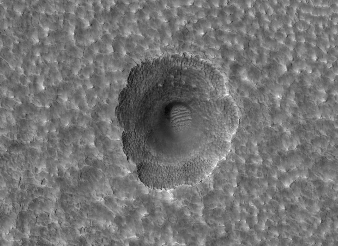
- Several small very obvious pedestal craters (near the top right), some located inside depressions. Pedestal craters are created because the surrounding terrain eroded away around them. Since these are pedestals, however, why are they also inside depressions?
- Two large circular mesas that appear to vaguely have terraced erosion. These might also be pedestal craters, but maybe not. They also sit much higher than the pedestal craters above. Either way, the mesas remained while the terrain around them eroded away.
- Several normal craters with a series of circular features within each. At this latitude, 34 degrees south, it is possible these craters are filled with buried ice, what scientists call concentric crater filled glaciers.
- A light-colored string of ridges aligned to almost look like a kite with tail. The light color says this ridge is not made up of the same material as the circular mesas and pedestal craters, but it too was not eroded away.
- A number of small bean-shaped depressions (just south of the biggest circular mesa and near the top left). Don’t ask me what caused them. I have no idea.
The spot is located in the Martian southern cratered highlands, as shown by the blue cross in the overview map to the right. Complicating its geological history is that it sits inside a very gigantic very old and degraded crater, with numerous newer smaller impacts overlaid on top. Any explanation needs to include these impacts, and the ejecta from them.
If you click on the image and study the full resolution photograph, you can find even more enigmatic features. For most there is a reasonable geological theory. Putting them all in one place and somehow getting all those different explanations to fit together however is far more difficult.


