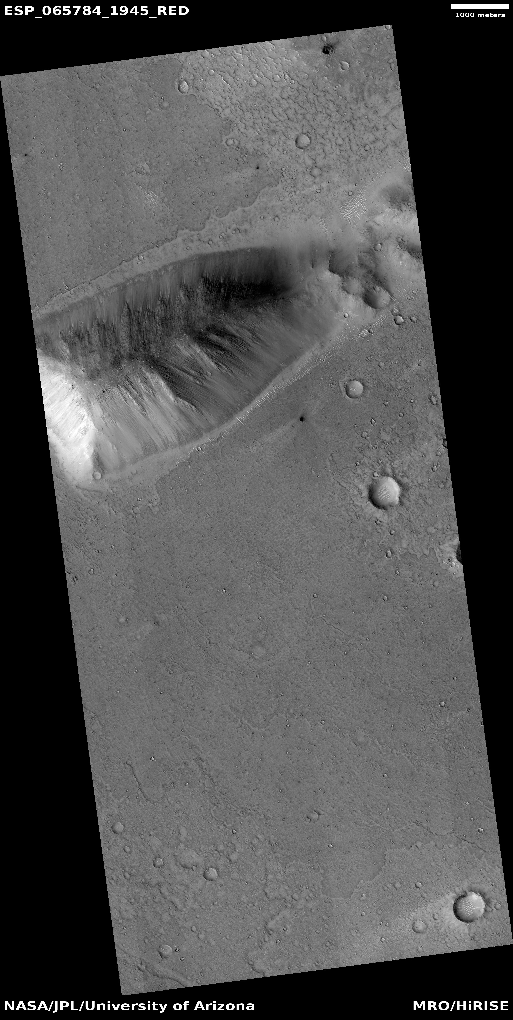
A place on Mars where lakes, snowfall, and rivers once existed
Click for full image.
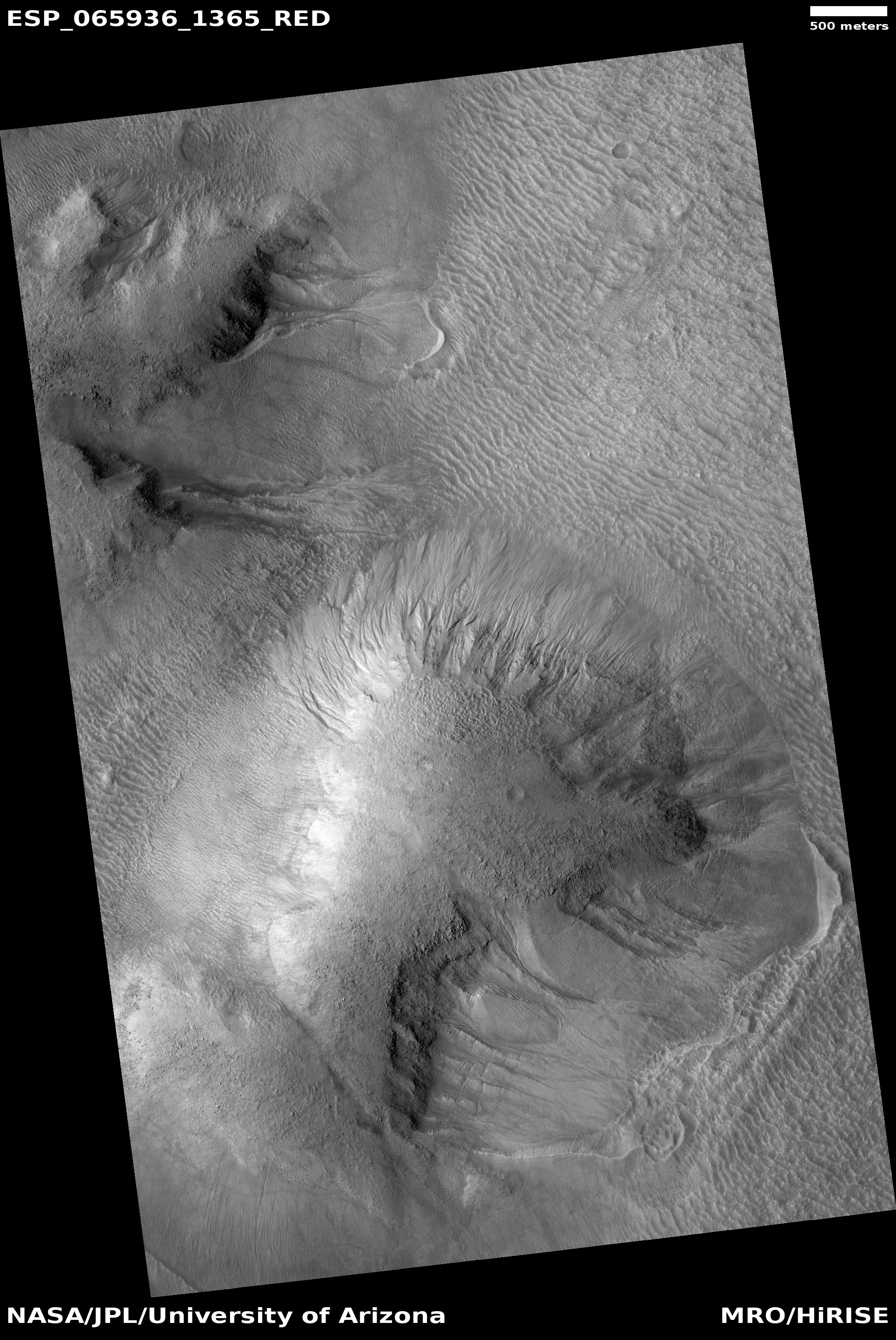
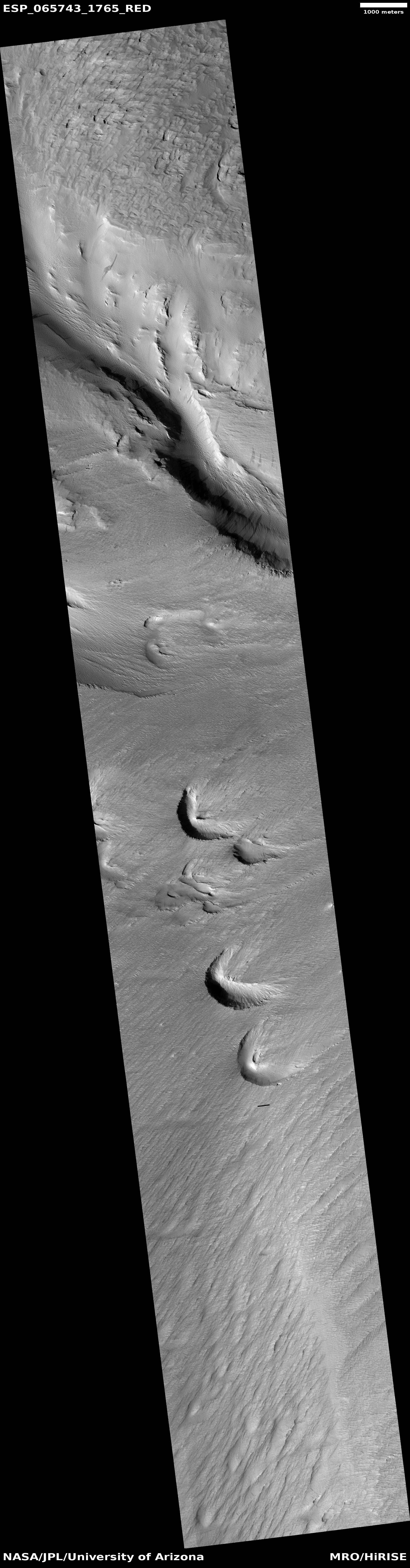
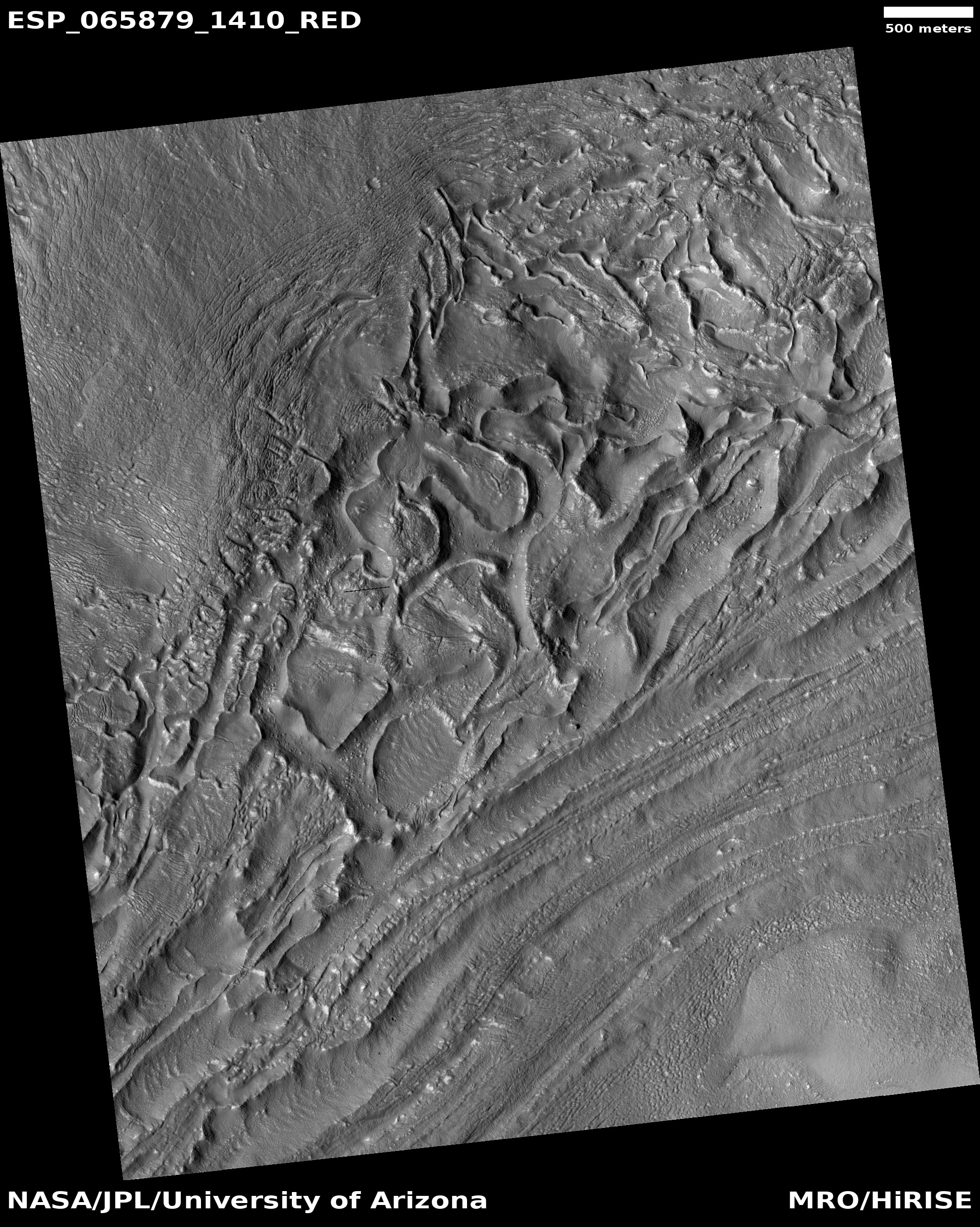
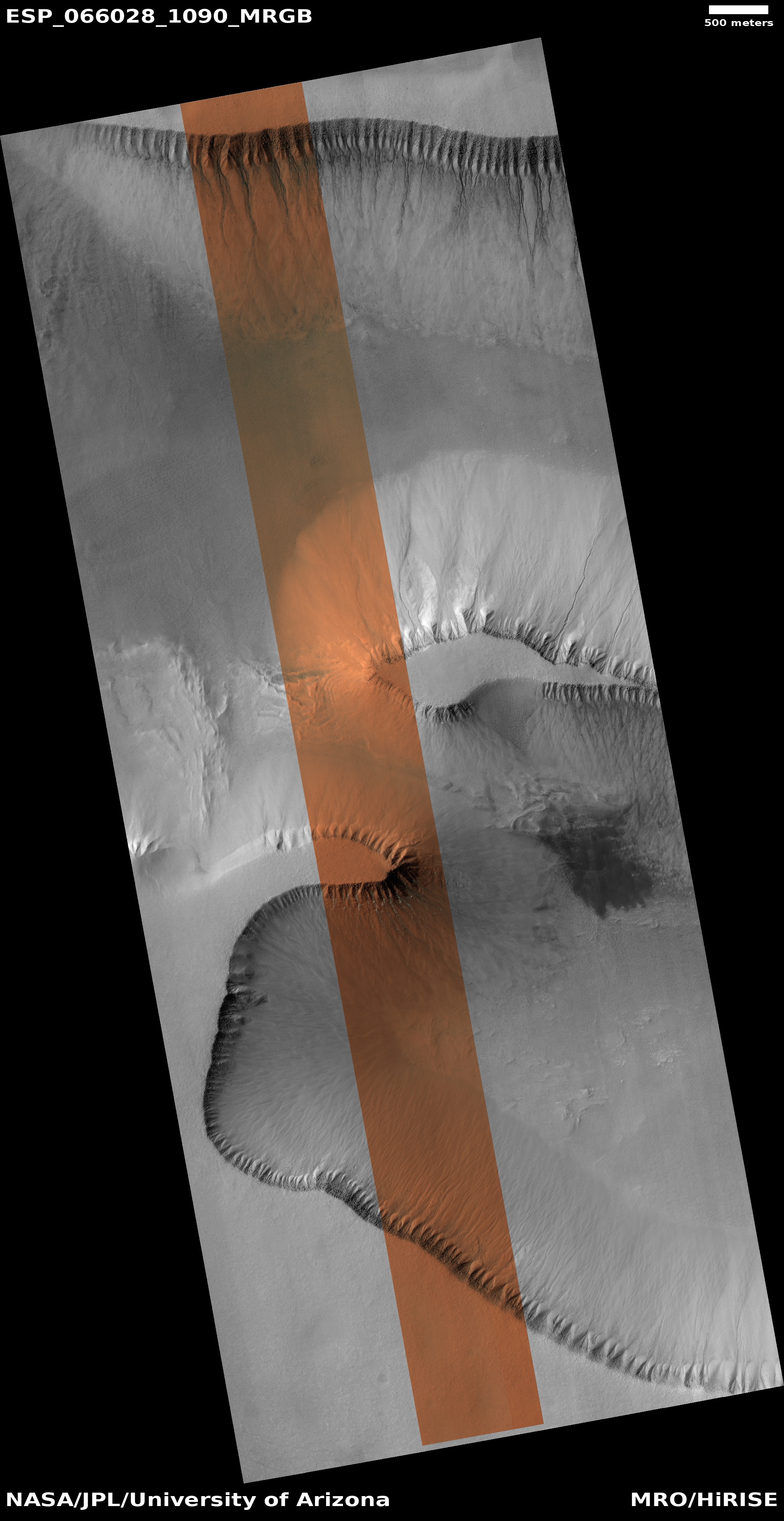
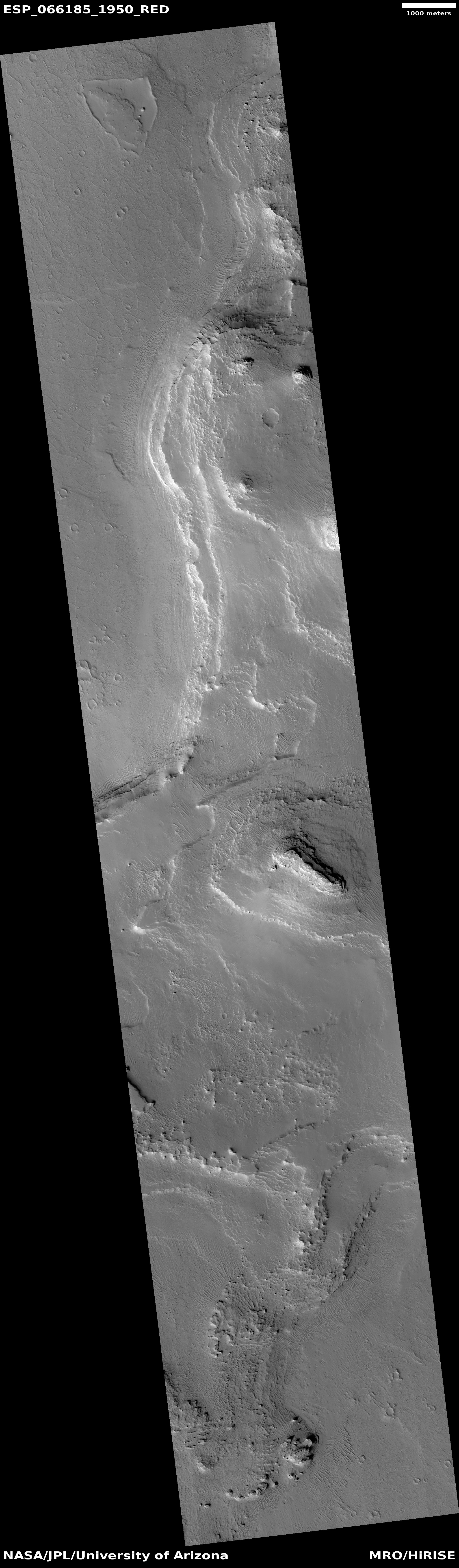
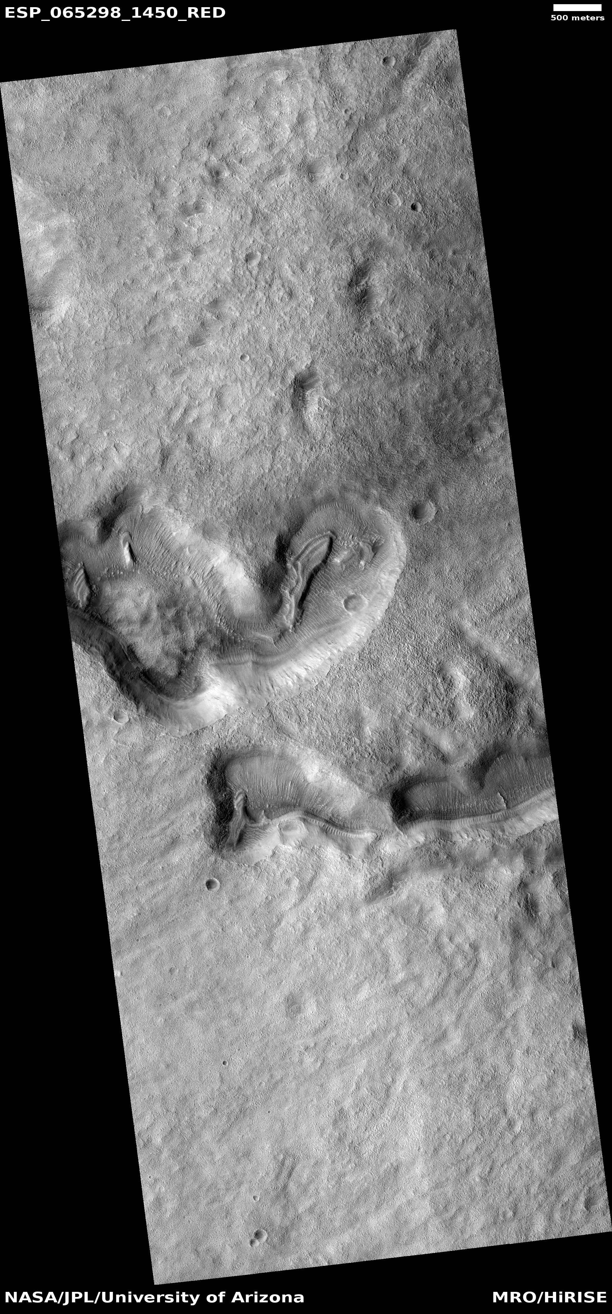
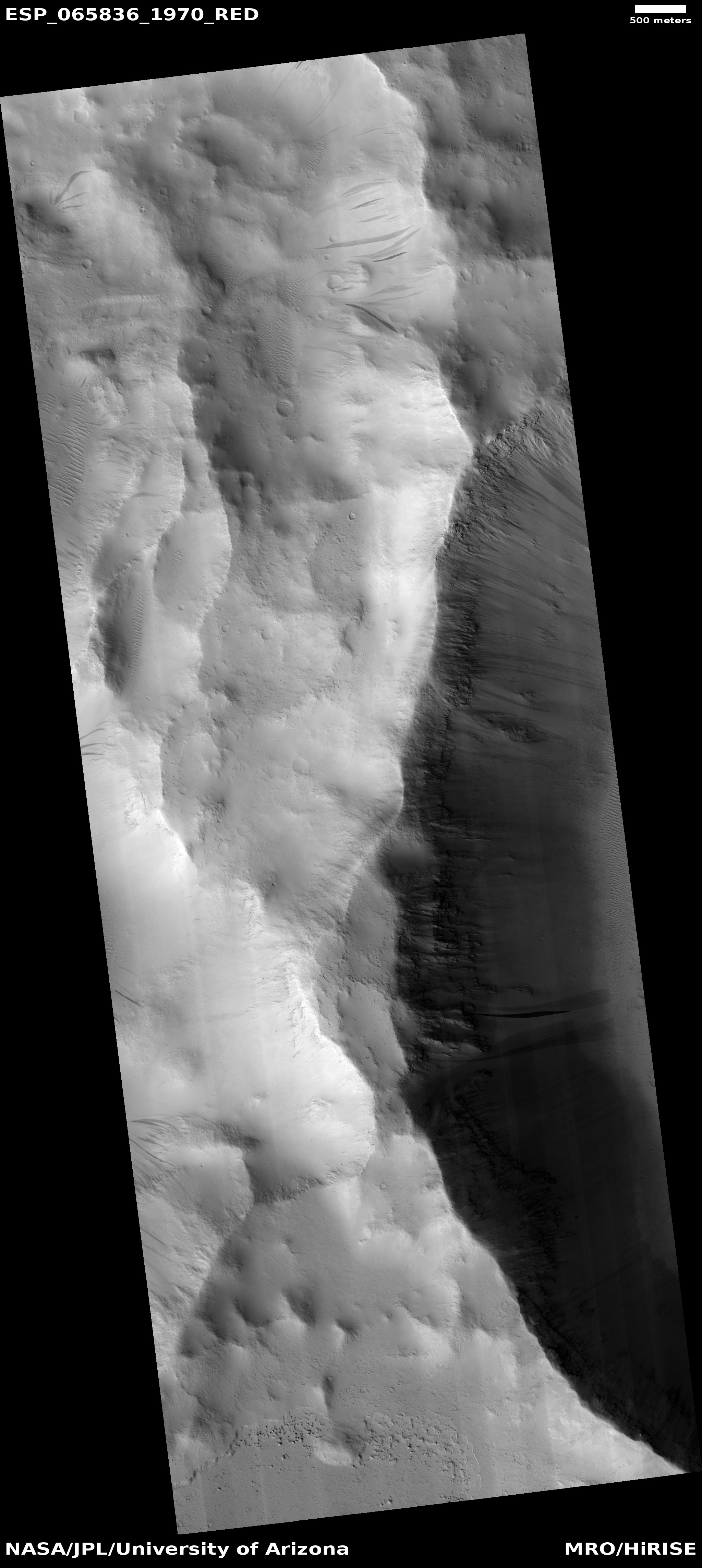
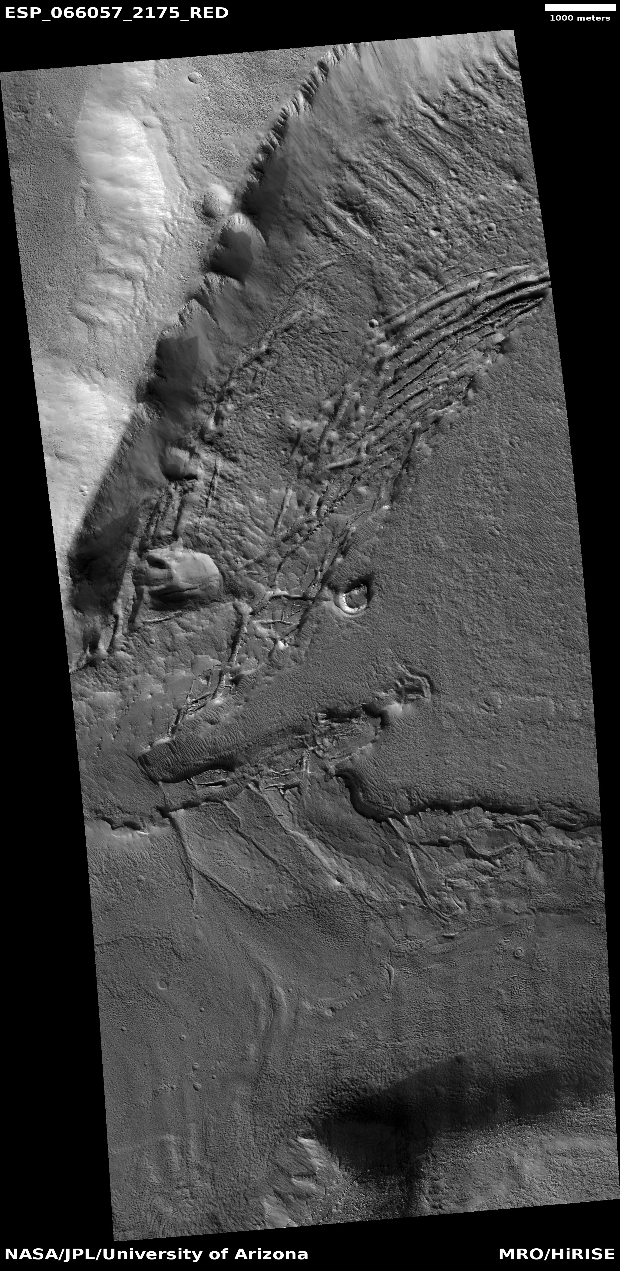
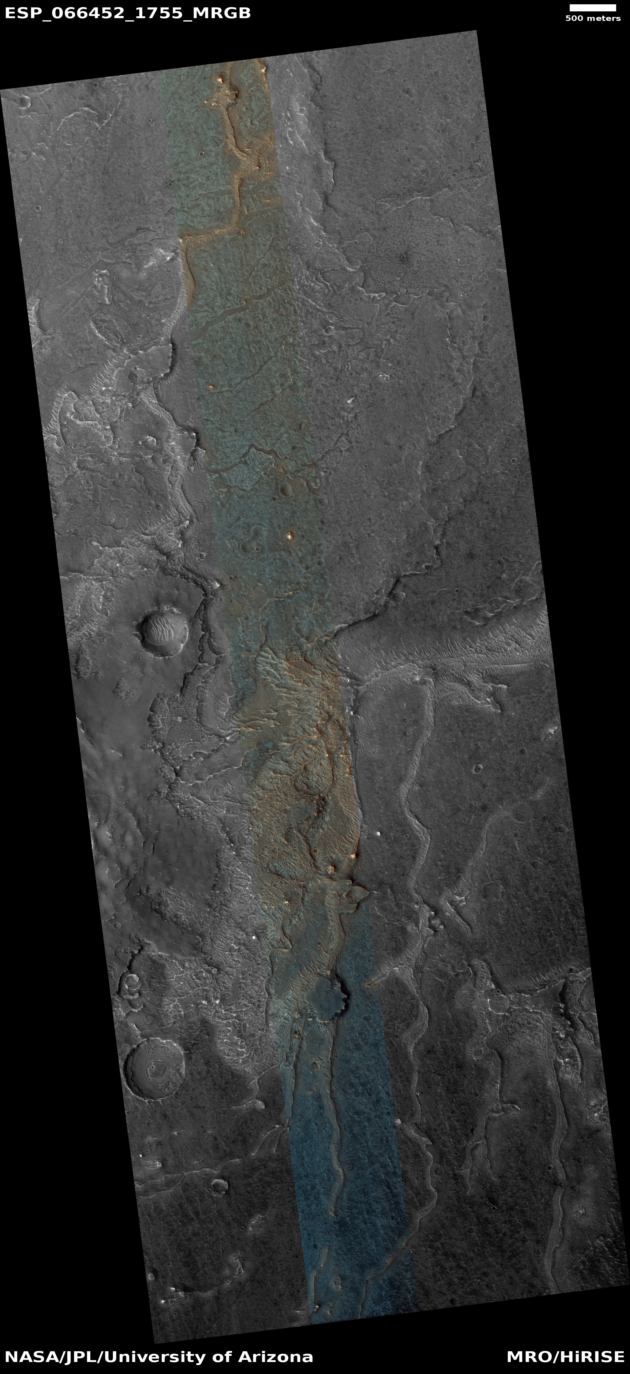
Cool image time! The photo to the right, cropped and enhanced to post here, attracted my immediate interest when I was going through the November image dump from Mars Reconnaissance Orbiter (MRO) because of its meandering sharp ridges, estimated to be about sixty feet high on average. While I have previously posted MRO images of inverted channels such as these, their particular sharpness, plus their large number in this localized single image, aroused my curiosity. What is their history? Does this illustrate an particularly interesting place on Mars?
The picture itself was taken was on September 29, 2020 by MRO’s high resolution camera. The blue areas in the color strip probably indicate coarser-grained surface. This makes sense, as these ridges are believed to have been initially carved as channels by flowing water or ice, which compressed their riverbed and thus made it resistant to erosion. Over time, the surrounding terrain eroded away, leaving that channel behind now as a upstanding ridge. The surrounding eroded terrain should thus be expected to be rougher.
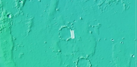
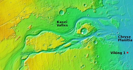
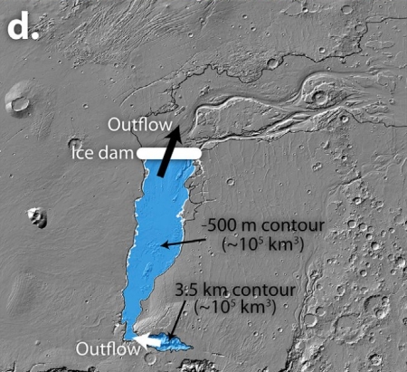
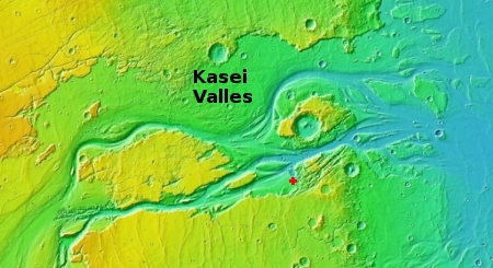
Where did the water for these rivers come from, however? As always, the overview maps below give the context, and a possible explanation.
» Read more