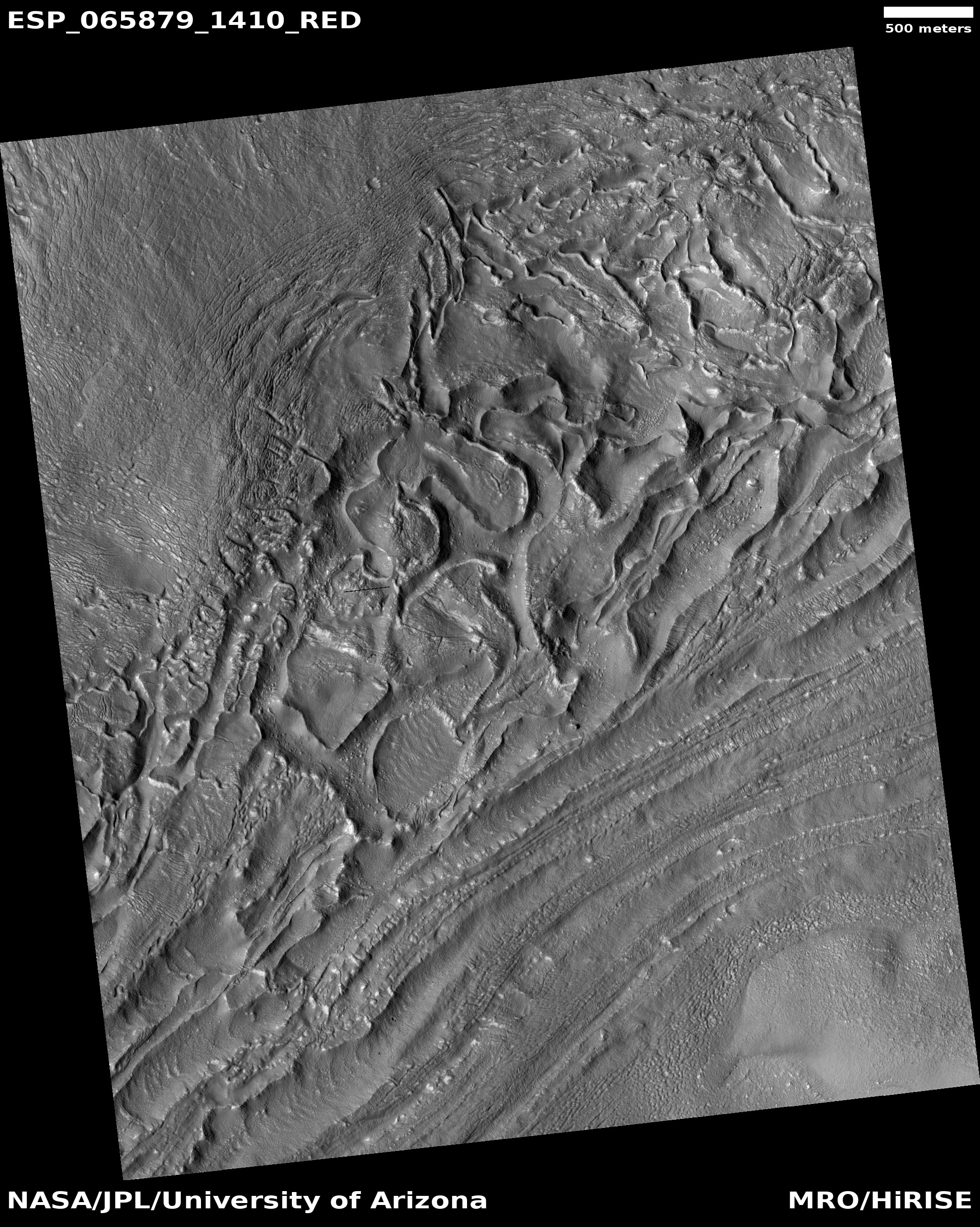
Click for full image.
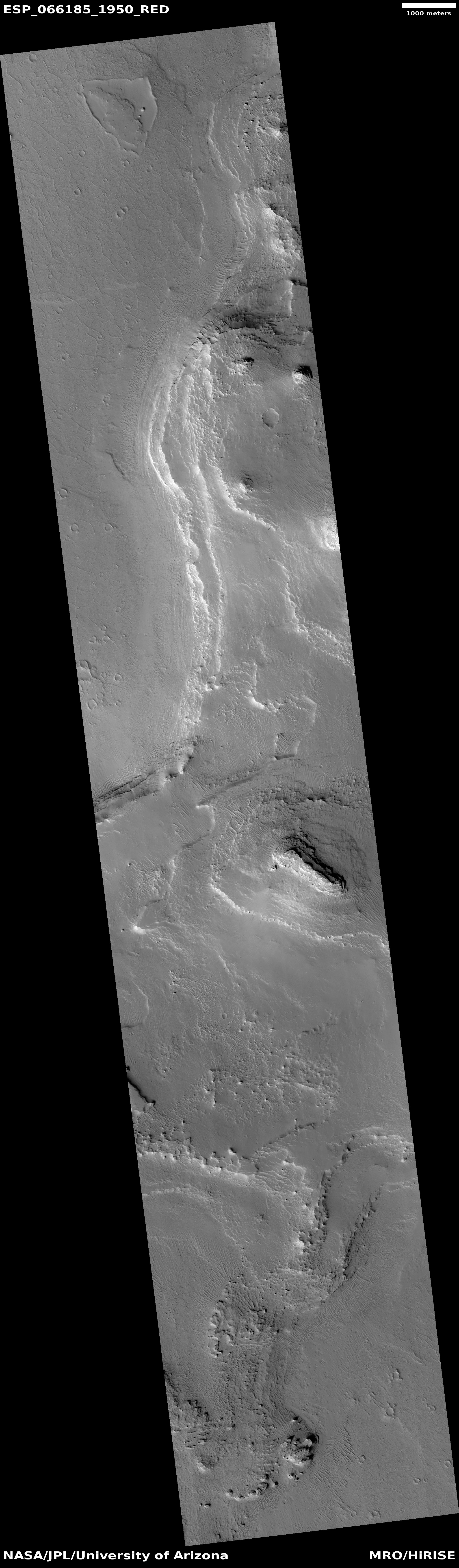
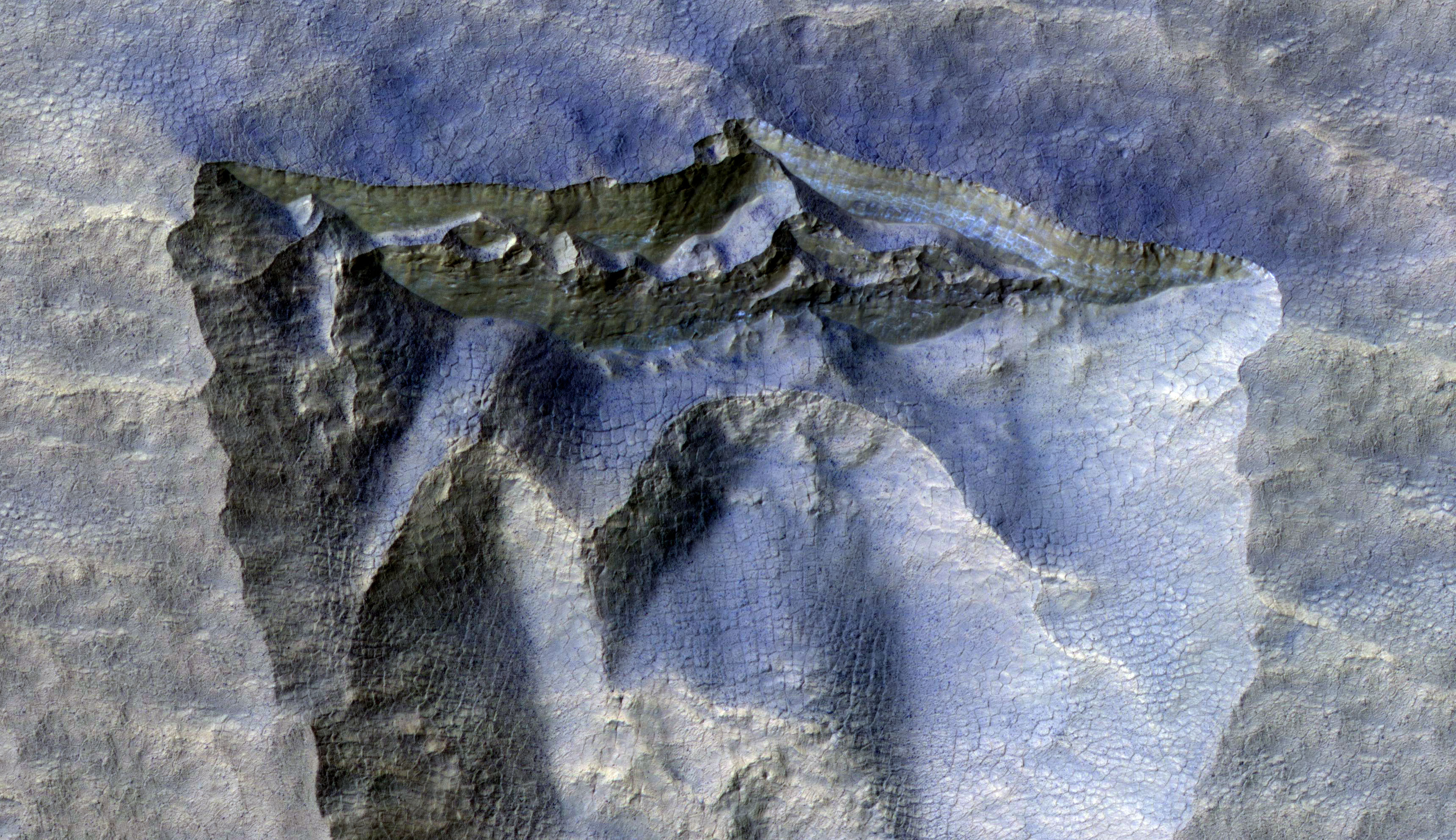
To me, the cool image to the right, cropped and reduced to post here, helps illustrate the most significant difference between Mars and Earth, its obvious lack of life. This lack fundamentally changes the nature of erosion on the Red Planet.
On Earth life covers practically every square foot of the surface, and that life probably does more than anything to reshape the surface, and it does it far more quickly than any geological or meteorological process. For example, even if we are in the most lifeless area of the Sahara Desert, with no plant life, the dunes will still be reshaped and changed simply by the passage of any animal, whether it be a lizard, camel, or human driving a jeep.
On Mars, there is no visible life, and this lack means that any changes we see are solely geological or meteorological in nature. From a scientist’s perspective, the view is clean, all changes wrought solely by inanimate nature, without the added factor of life.
In a sense, Mars gives us a view of what geological and meteorological processes would do on Earth, if the Earth was lifeless.
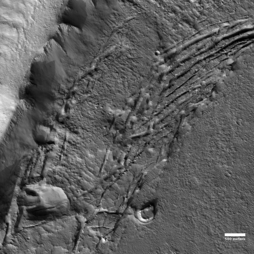
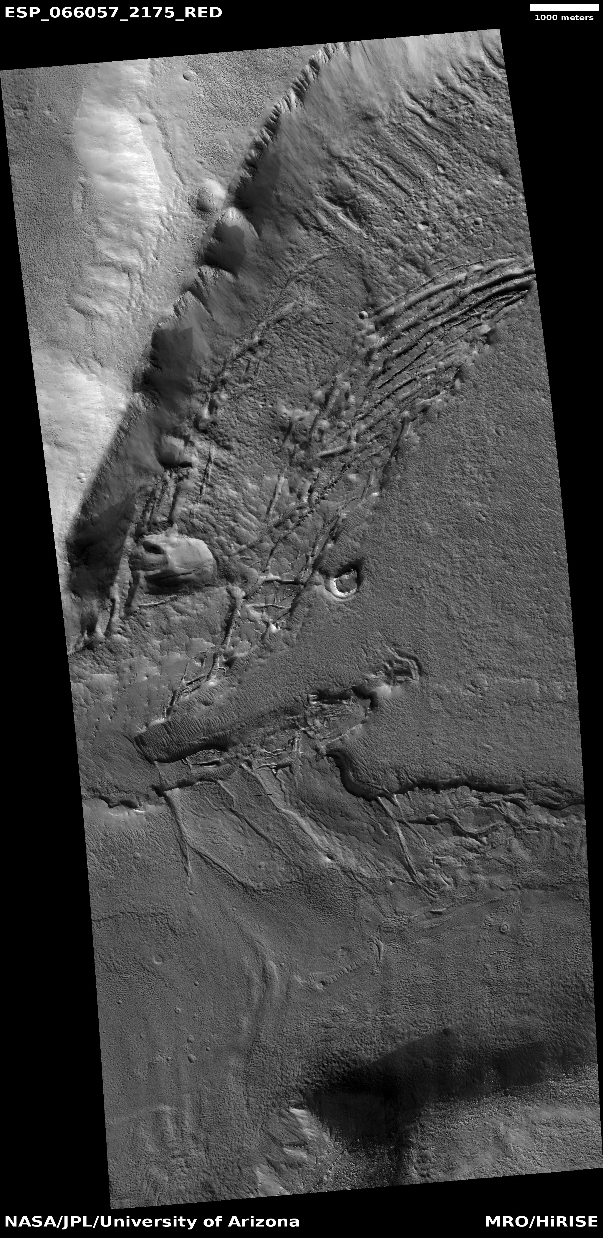
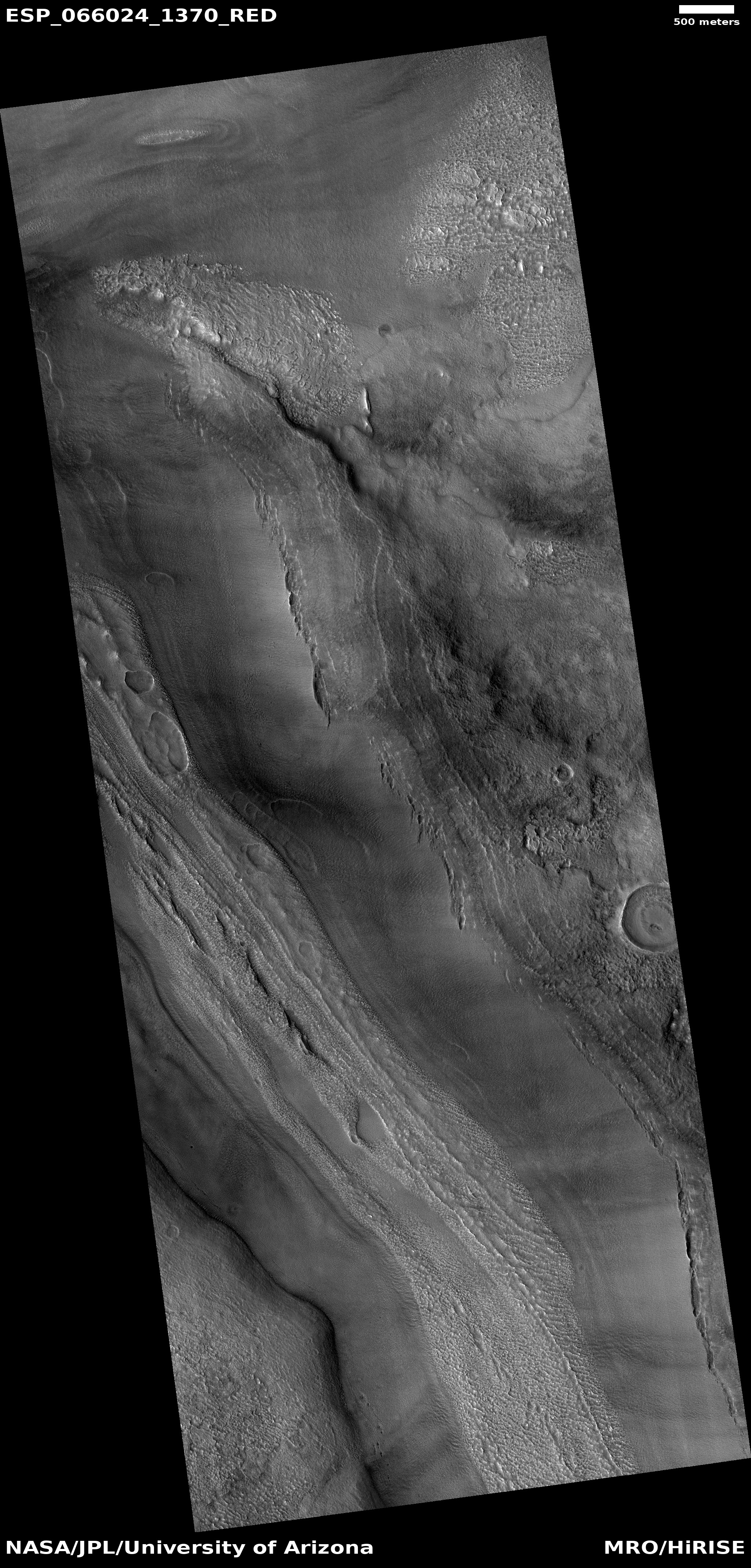
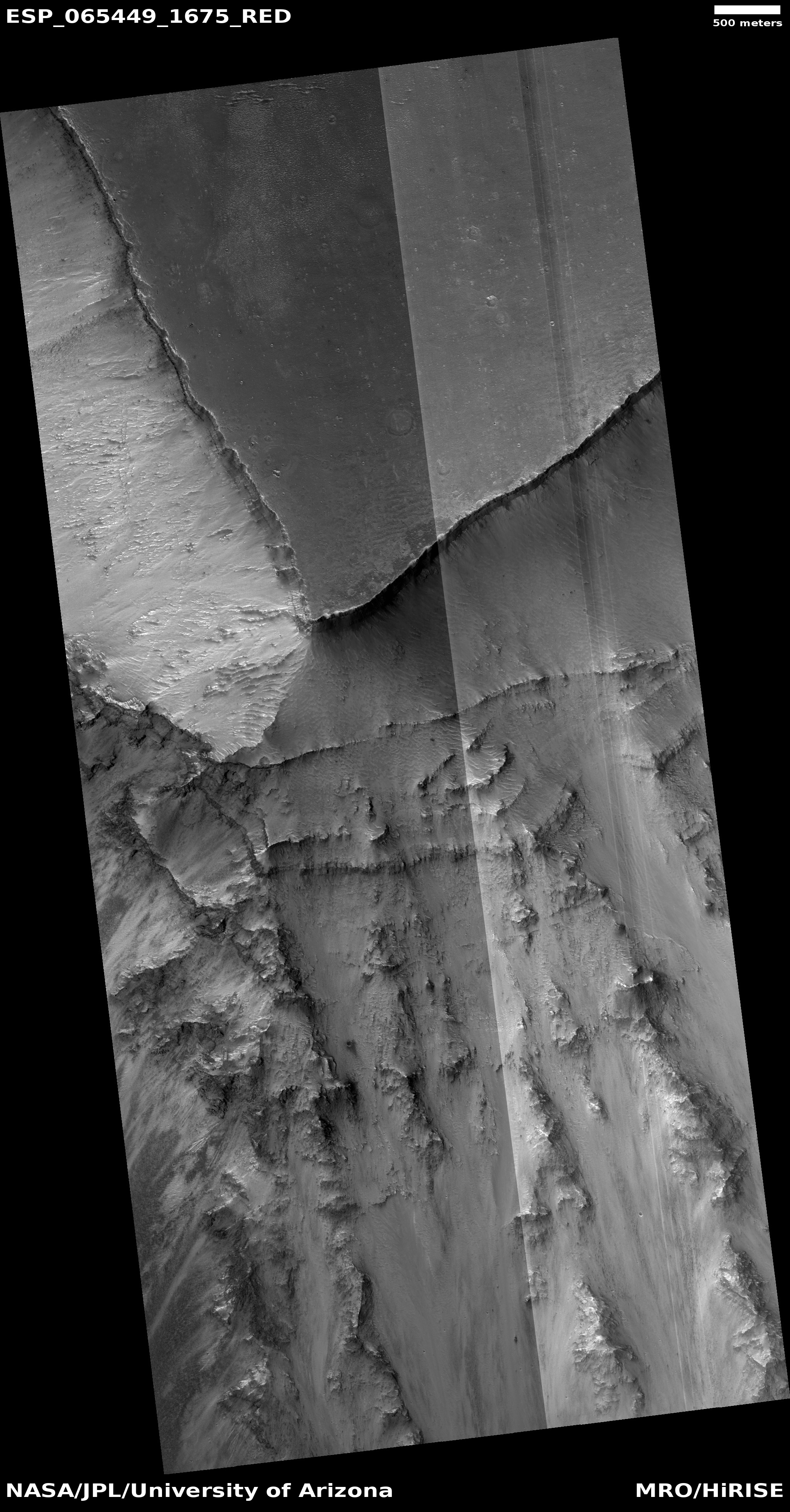
Today’s image, taken by the high resolution camera on Mars Reconnaissance Orbiter (MRO) on August 29, 2020, exemplifies this. Labeled “Slope Failures in Tempe Terra,” it shows the slow break-up and slumping of debris as it oh-so-slowly falls from higher terrain. The cracks developed as large chunks pulled apart as the material slide downward to the east.
This cracking took a lot of time. On Earth, during that time it would have either been obscured by plant life, or would have been distorted greatly by the traffic of animal life across its surface. Animals would have dug holes, and humans might have reshaped it to build homes and roads. On Mars, none of that happened, so the geology was free to evolve slowly, without interference, and now sits in plain view for scientists to interpret.
Such knowledge will over time strengthen our understanding of Earth geology, because it will give us a better understanding of the influences of life on that geology. Geologists will be better able to separate the influence of life and inanimate natural processes.
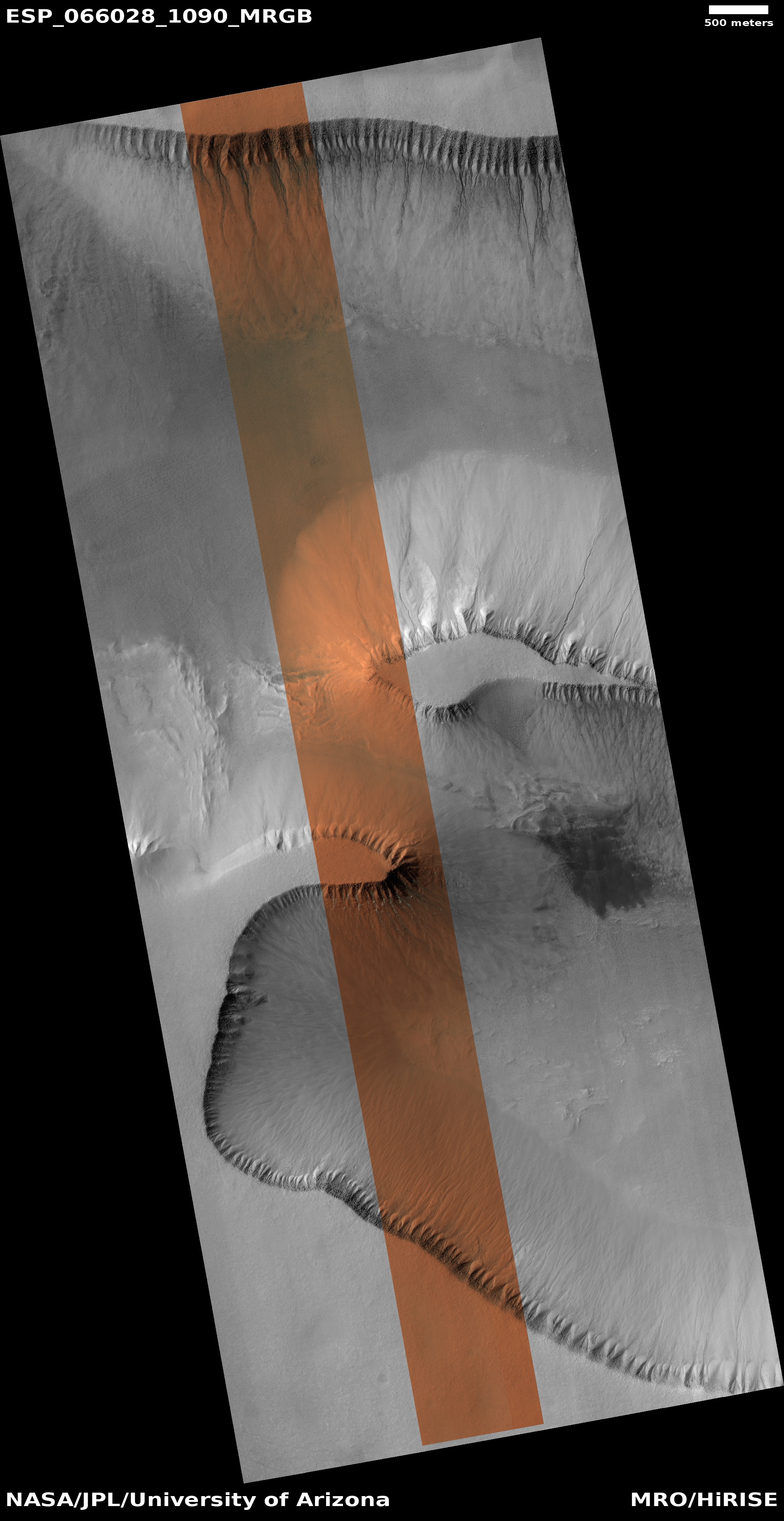
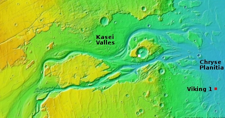
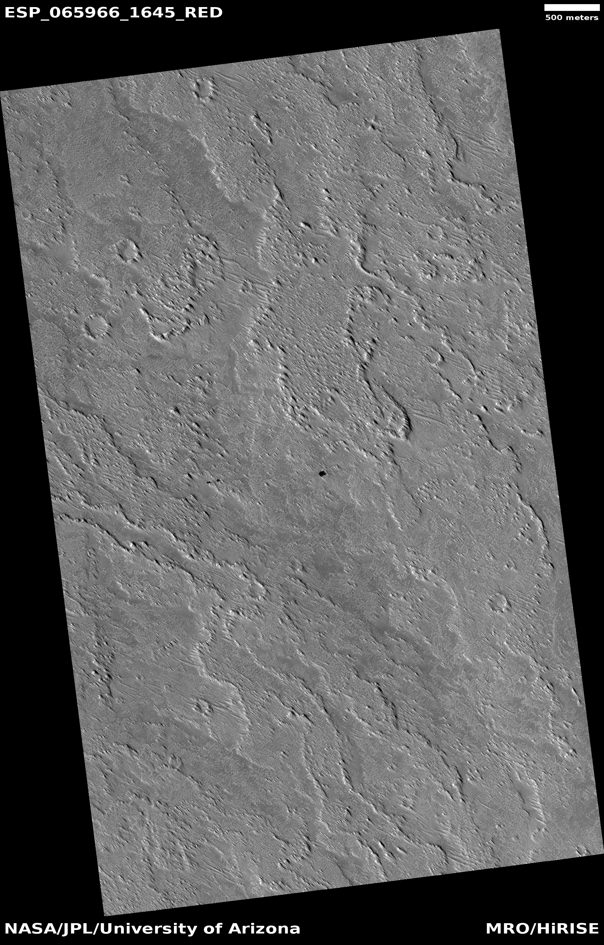
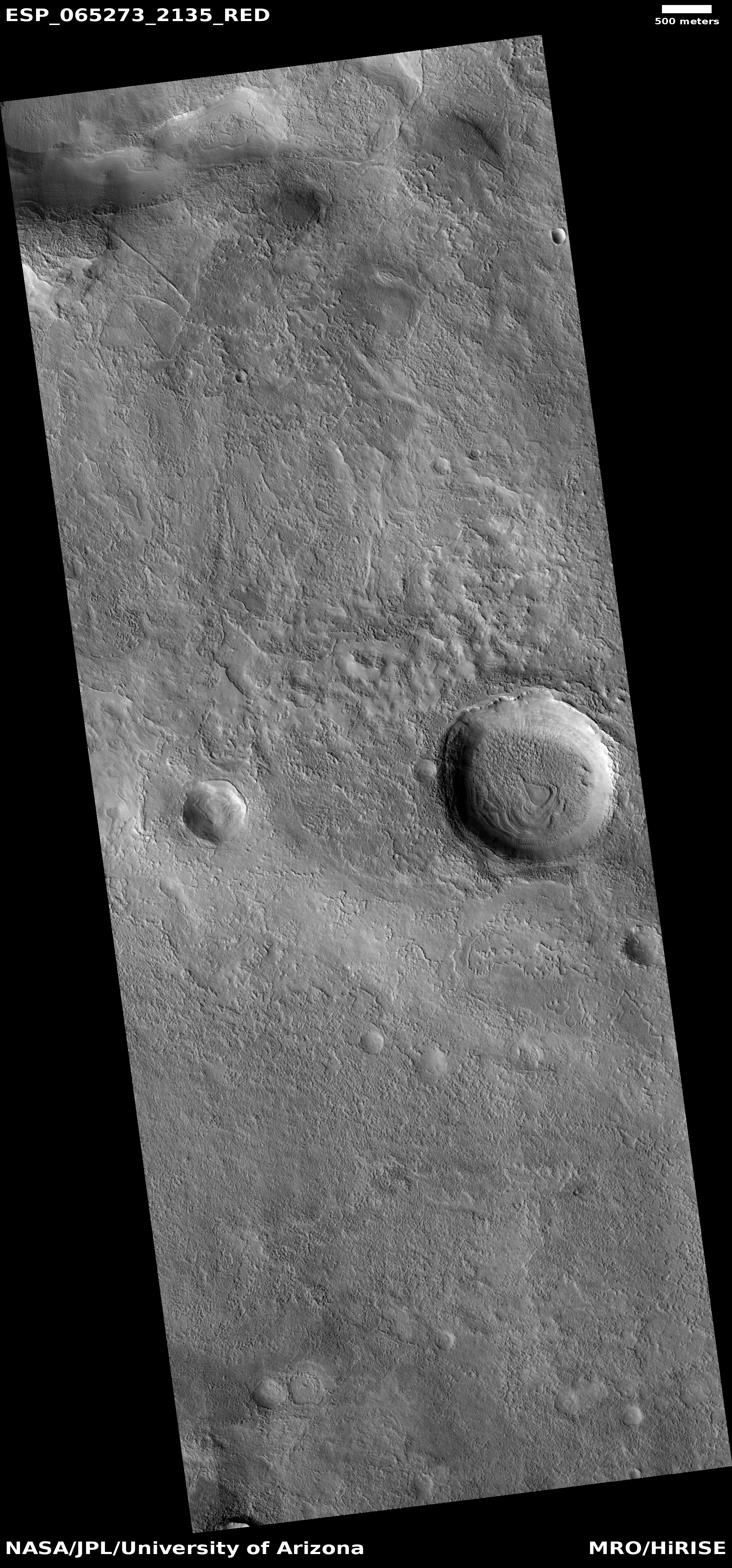
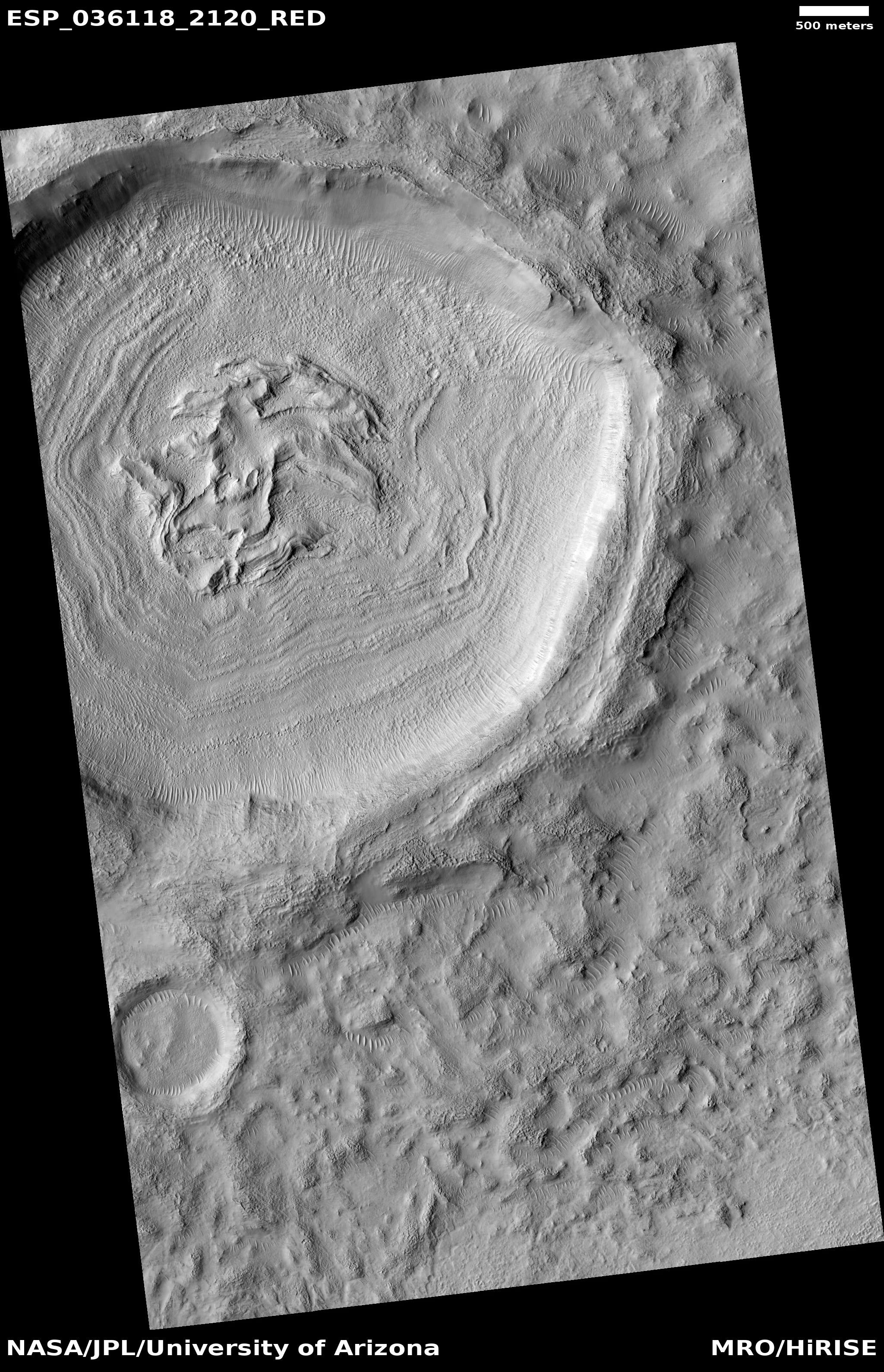
The overview map below helps give the wider context of those Martian inanimate natural processes, on a grand planetary scale.
» Read more


