Glacial sinkhole in the Martian southern cratered highlands?

Click for original image.
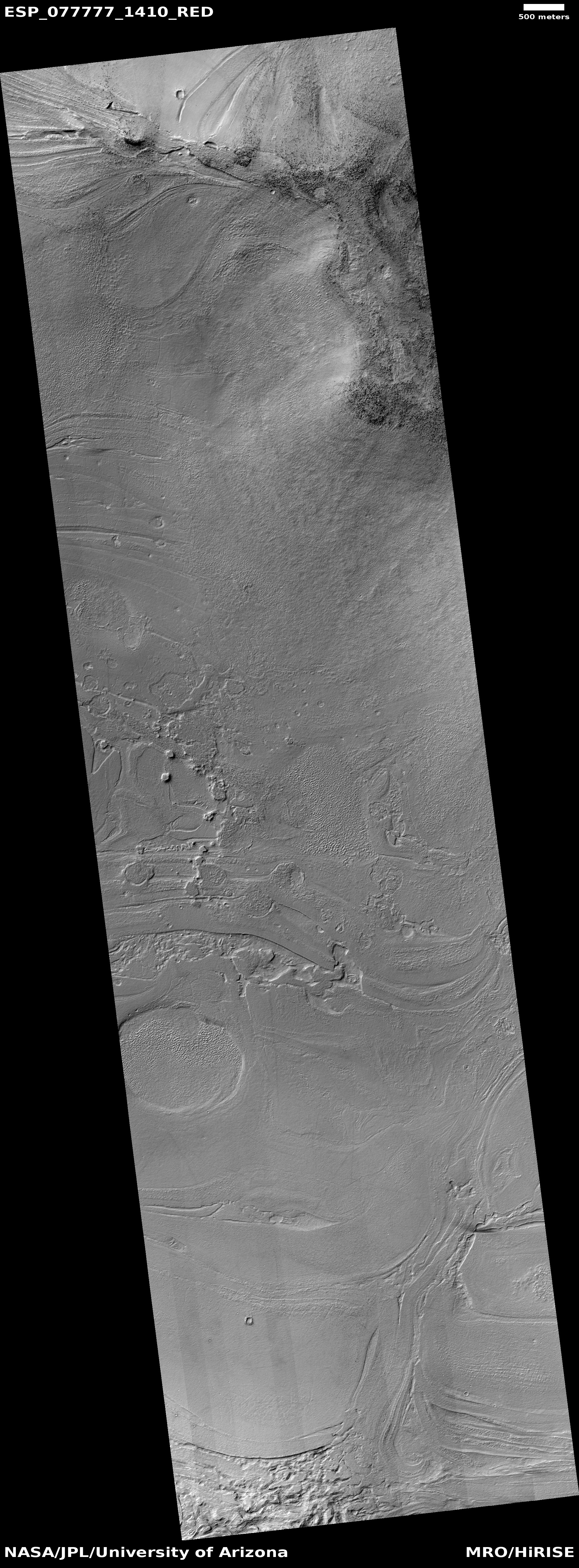
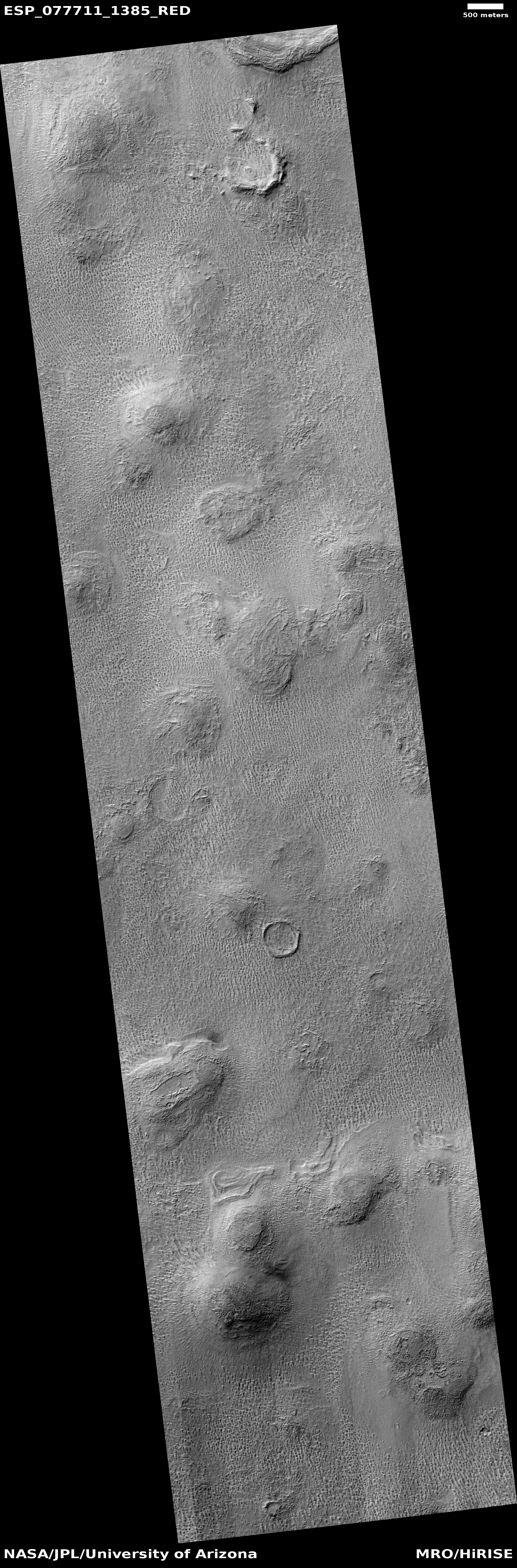
Cool image time! The picture to the right, cropped to post here, was taken on February 21, 2023 by the high resolution camera on Mars Reconnaissance Orbiter (MRO). This is a terrain sample image, which means it was snapped not as part of any specific research project but to fill a gap in the schedule in order to maintain the camera’s proper temperature. As usual, the camera team tried to pick something of interest, and I think they succeeded.
The two large depressions in the center of the picture do not resemble impact craters. They have no rim of ejected material and their shape is very distorted. Instead, both appear to be places where a top layer of ice/debris has sublimated away into gas, exposing a lower layer of glacial material that itself is sublimating away to form the bumpy mounds that fill the floor of the depressions.
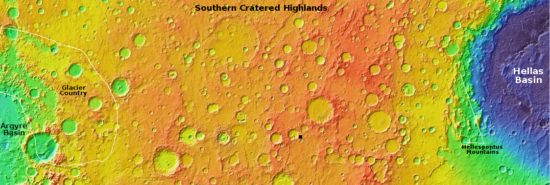
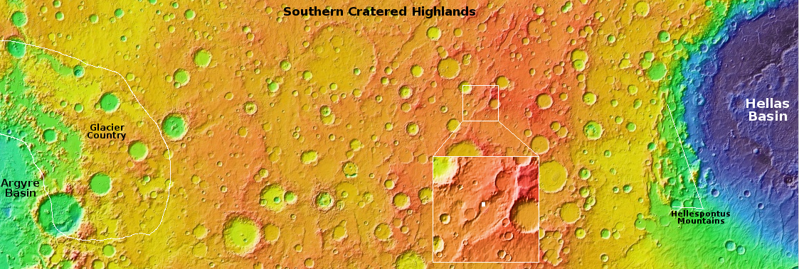
The white dot inside the inset box on the overview map above marks this location, just south of the northern wall of a large 30-mile-wide canyon, with its northern floor even more depressed, as if the material in that raised middle a flat pile of glacial debris flowing to the southwest after leaving the gap in the crater to the northeast. An MRO context camera picture taken on January 6, 2016 gives a wider view, showing that there are a lot of these type depressions on the surface of this wide middle upraised floor, as well as some obvious impact craters.
This location is in the mid-latitude band where many glacial features are found. In this part of the southern cratered highlands there is also a lot of evidence of top layers sublimating away, as if the glacial material is a large buried ice sheet that is beginning to disappear at places where it has been exposed by impacts or shifting motion. The depression in the picture above appears to be an example.