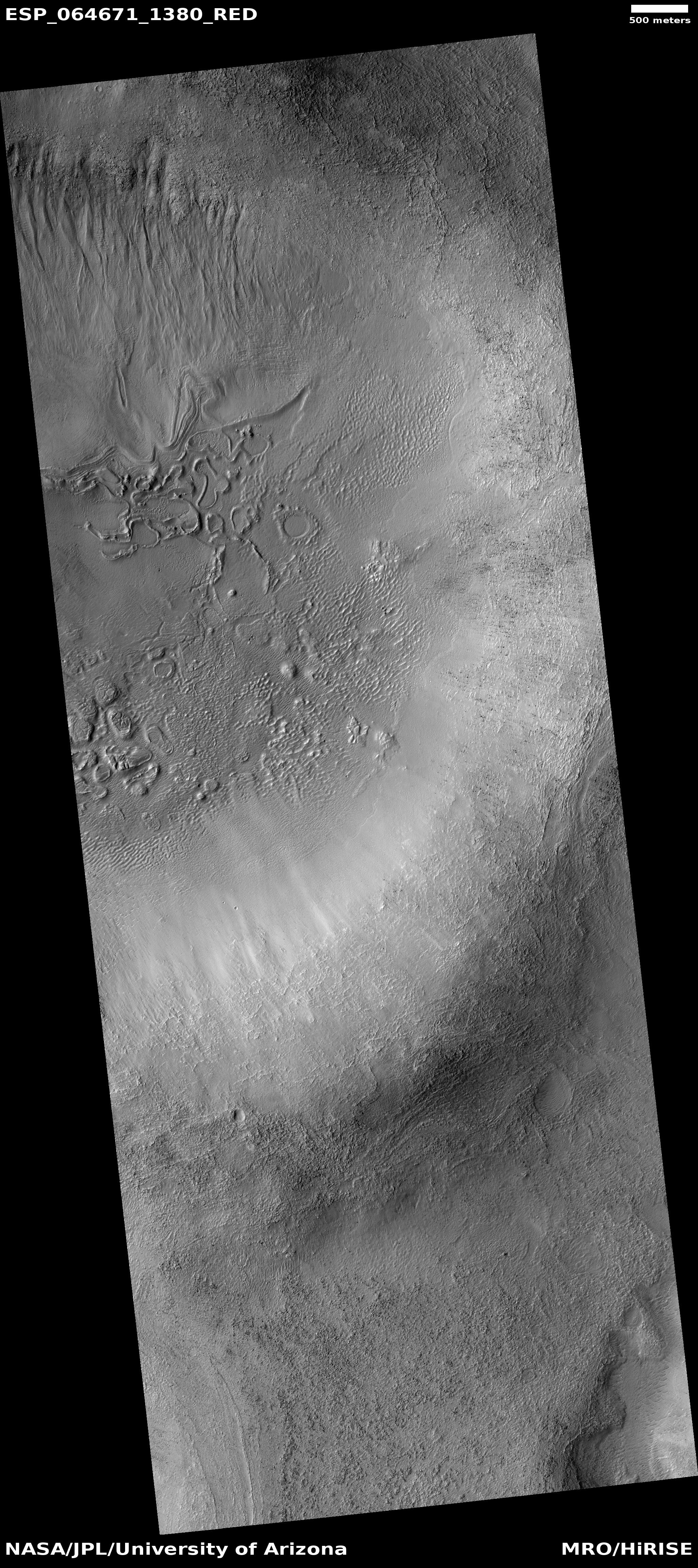
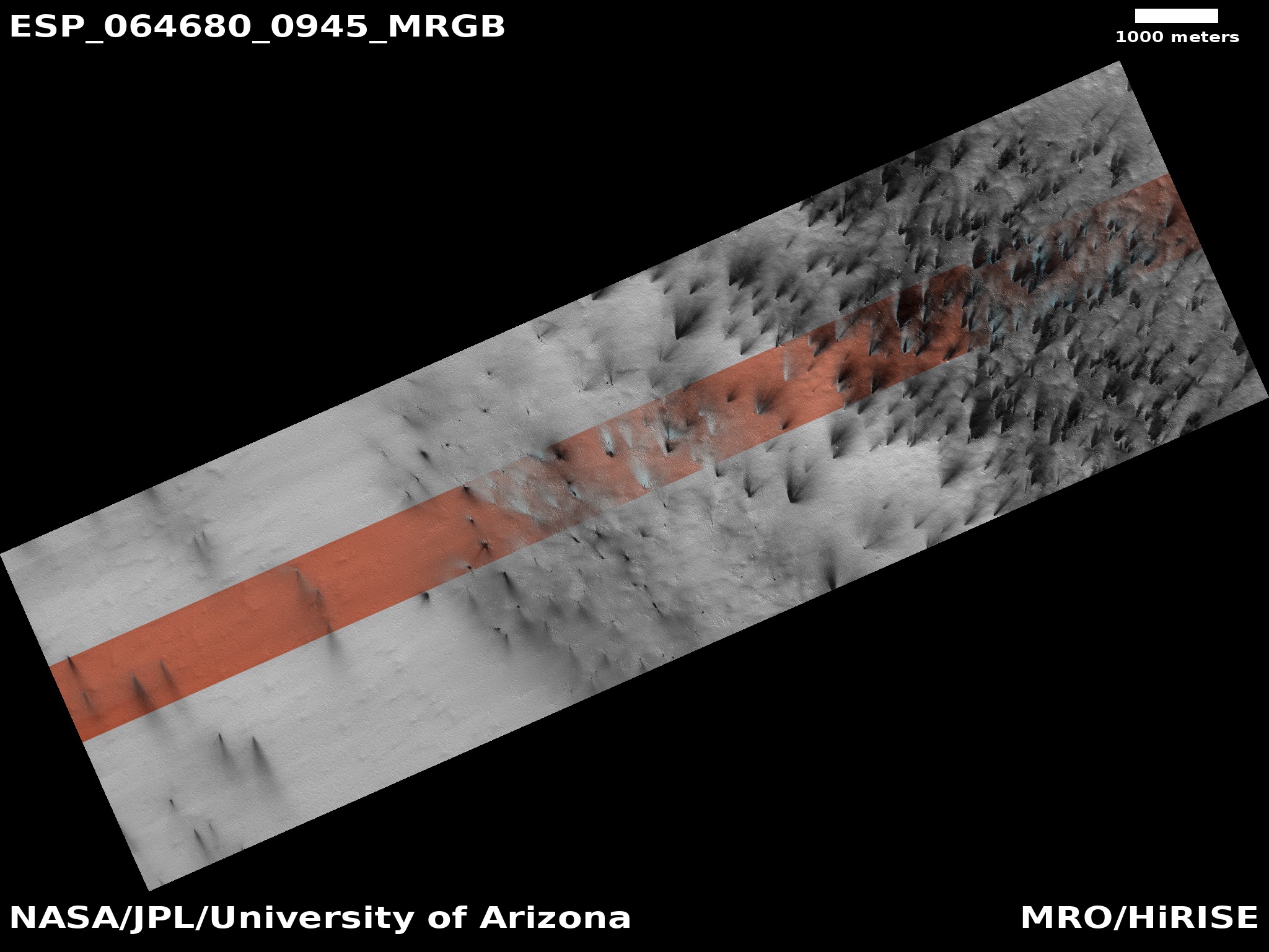
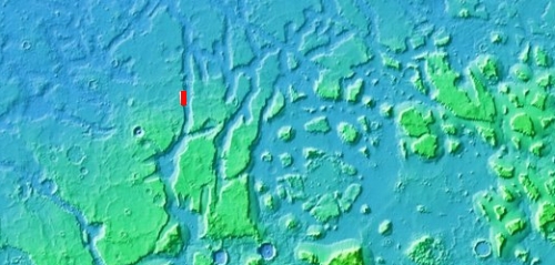
Martian sand traps and elongated dunes
Click for full image.
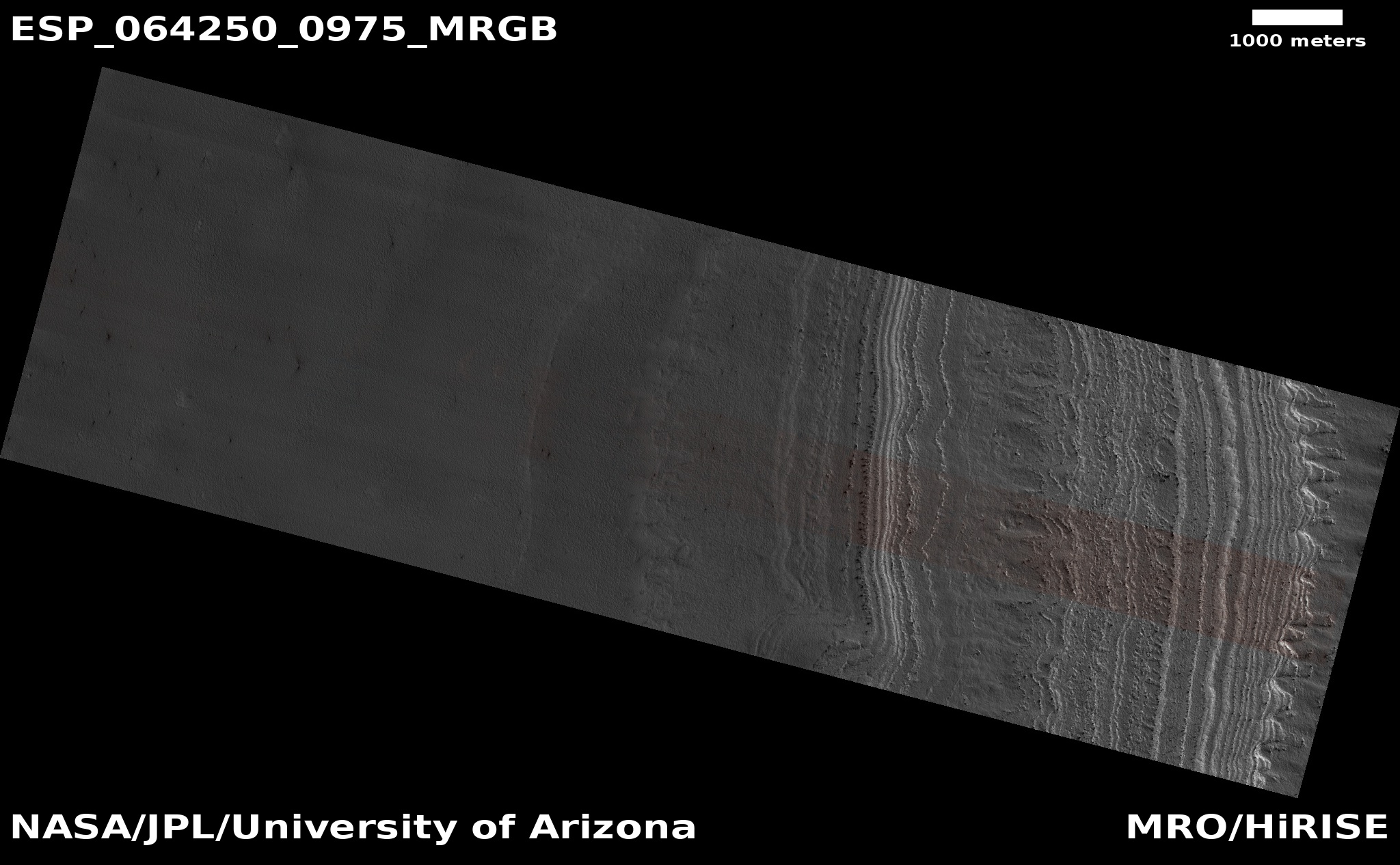
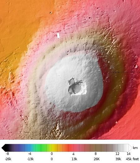
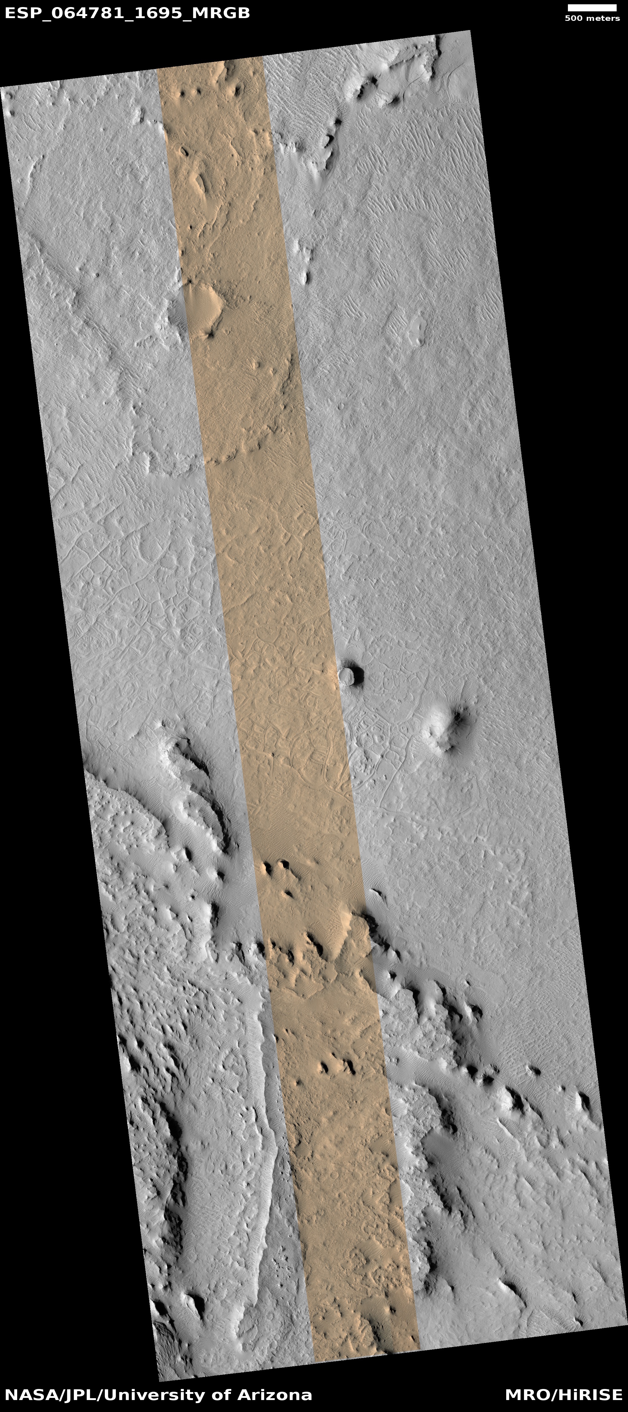
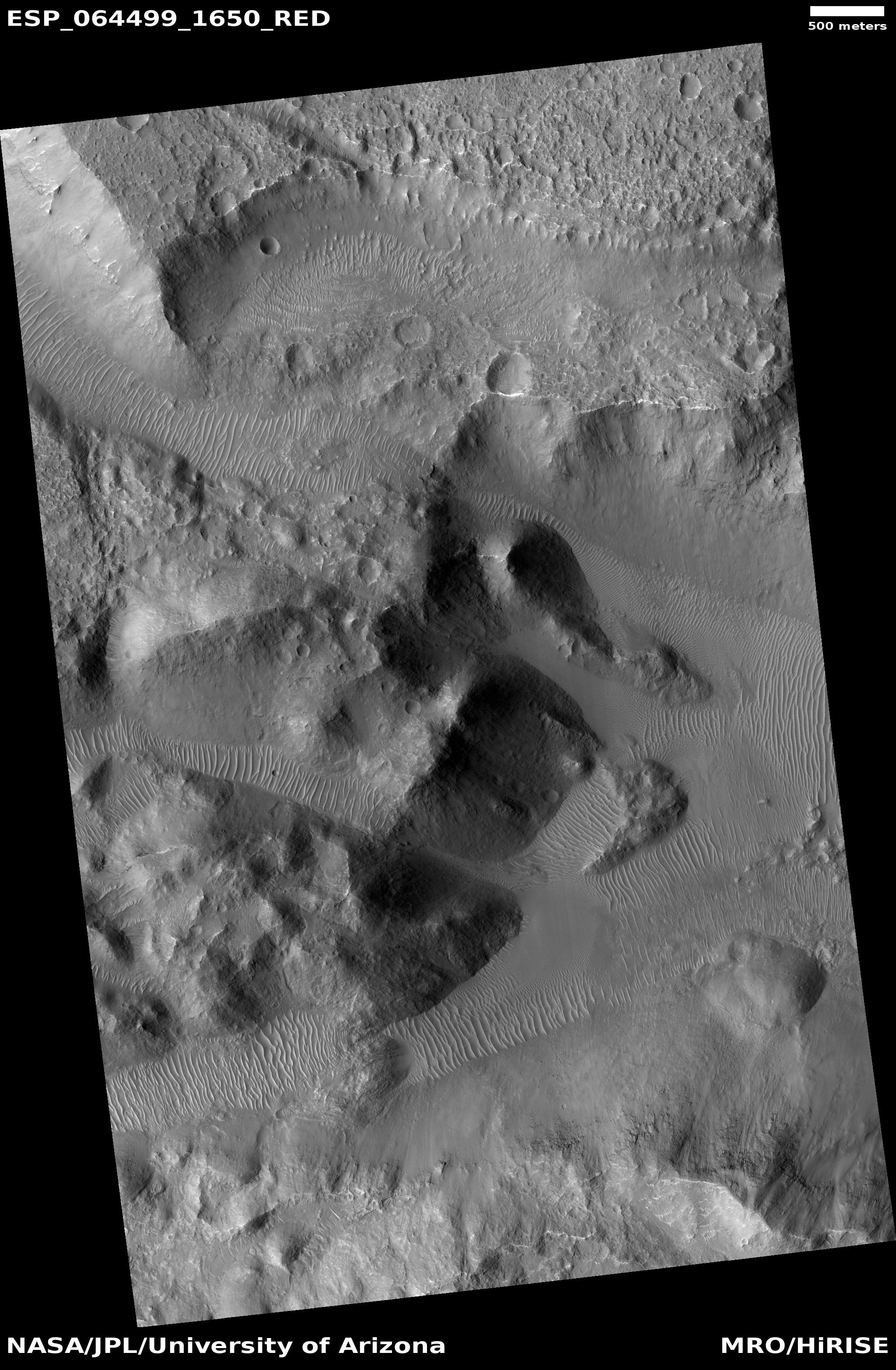
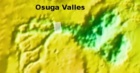
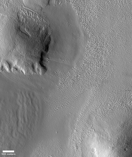
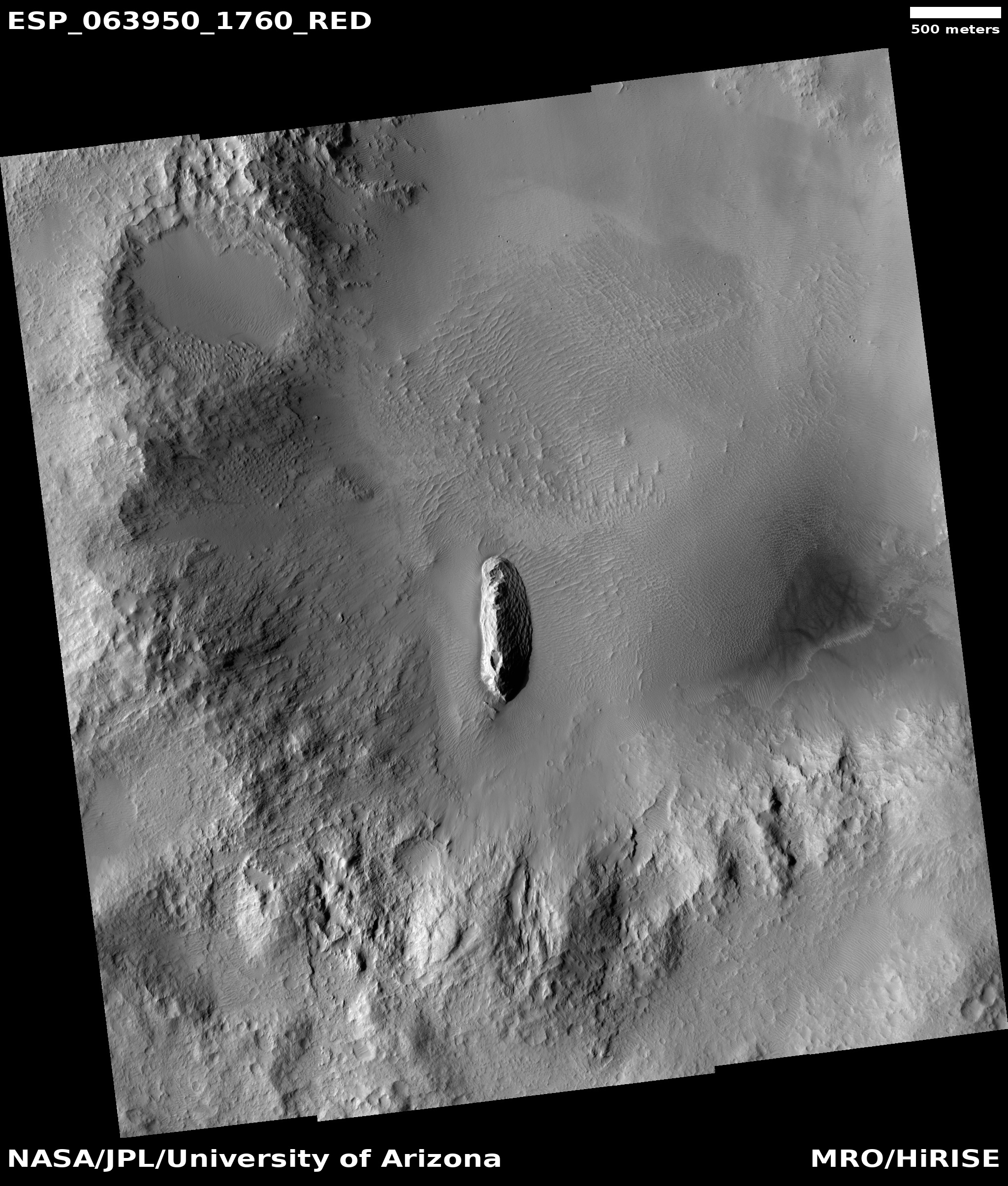
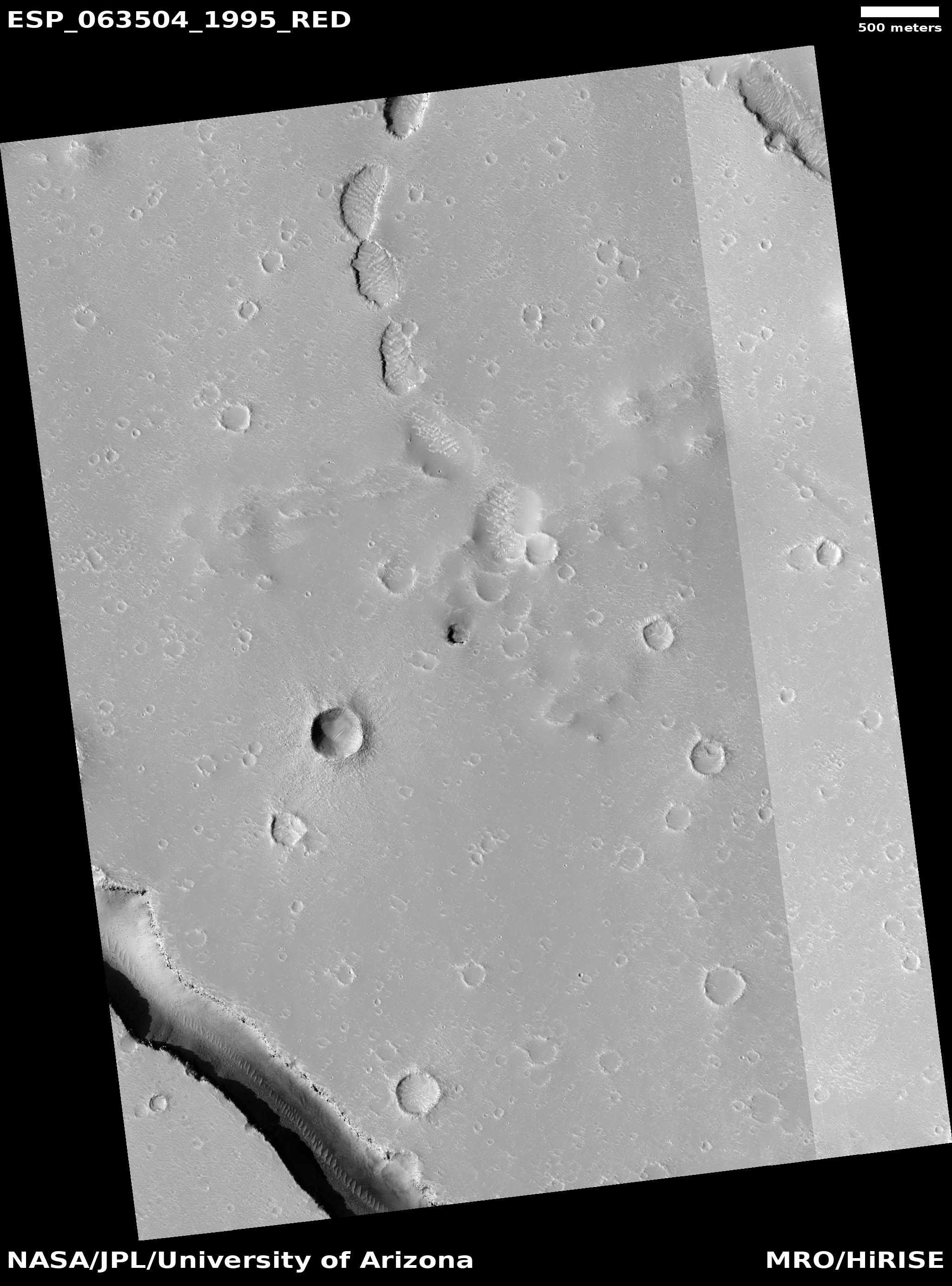
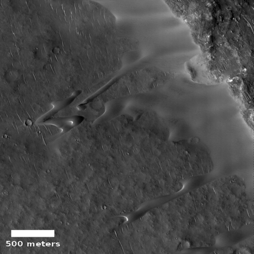
Cool image time! The photo to the left, rotated, cropped, and reduced to post here, was taken on June 23, 2020 by the high resolution camera on Mars Reconnaissance Orbiter (MRO). I was attracted by the uncaptioned image’s title, “Elongating Linear Dunes at Meroe Patera.” What are elongating linear dunes?
The photo shows two such dunes, stretching out to the southwest away from the pile of sand that abuts the cliff to the northwest. Unlike most dunes, which usually form and travel in groups, these for some reason form single straight lines extending for some distance.
I contacted the scientist who requested this image, Joel Davis of the Natural History Museum in London, hoping he could answer some questions about these strangely shaped dunes, and discovered that he was studying this exact subject for a paper since published. As noted in the paper’s introduction,
» Read more
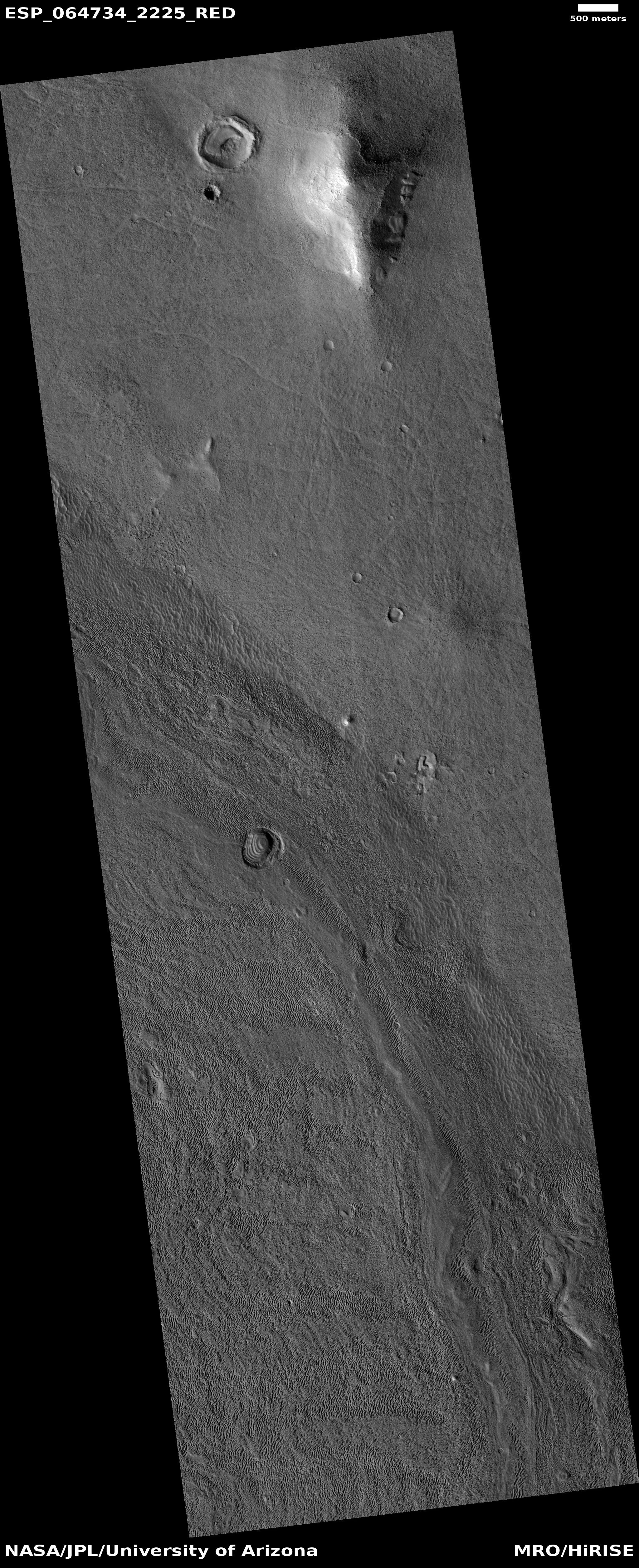
Click for full image.
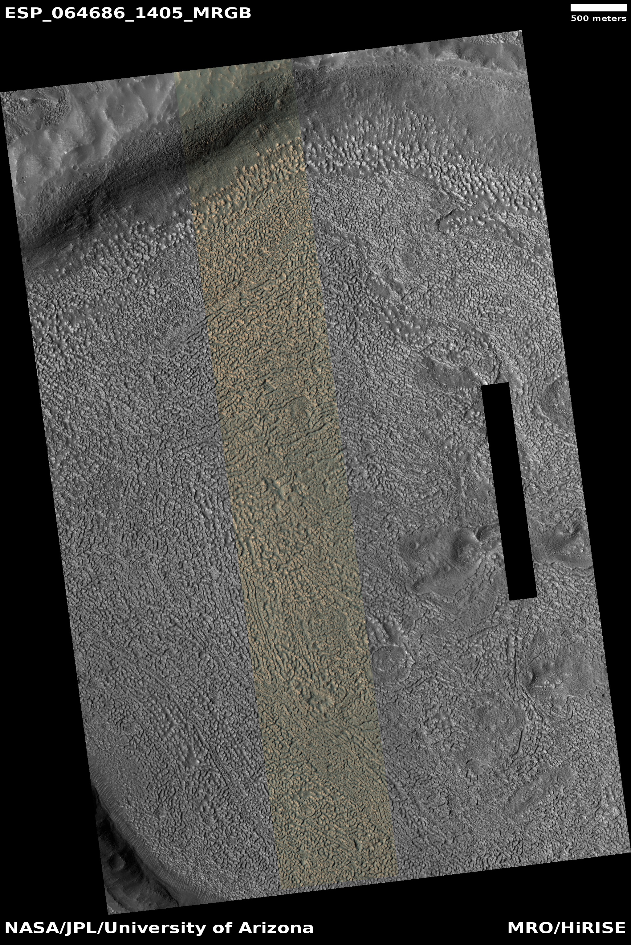
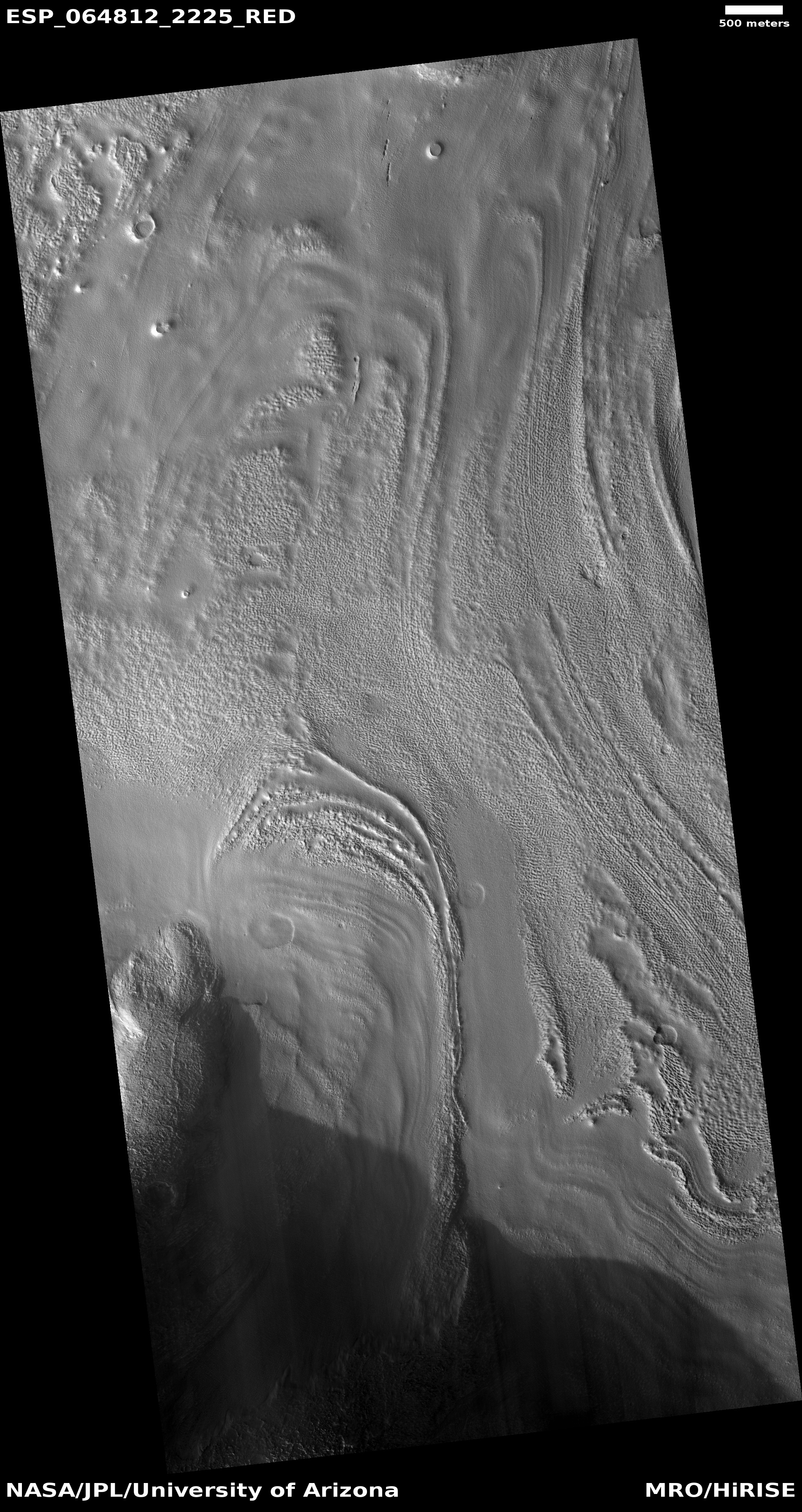
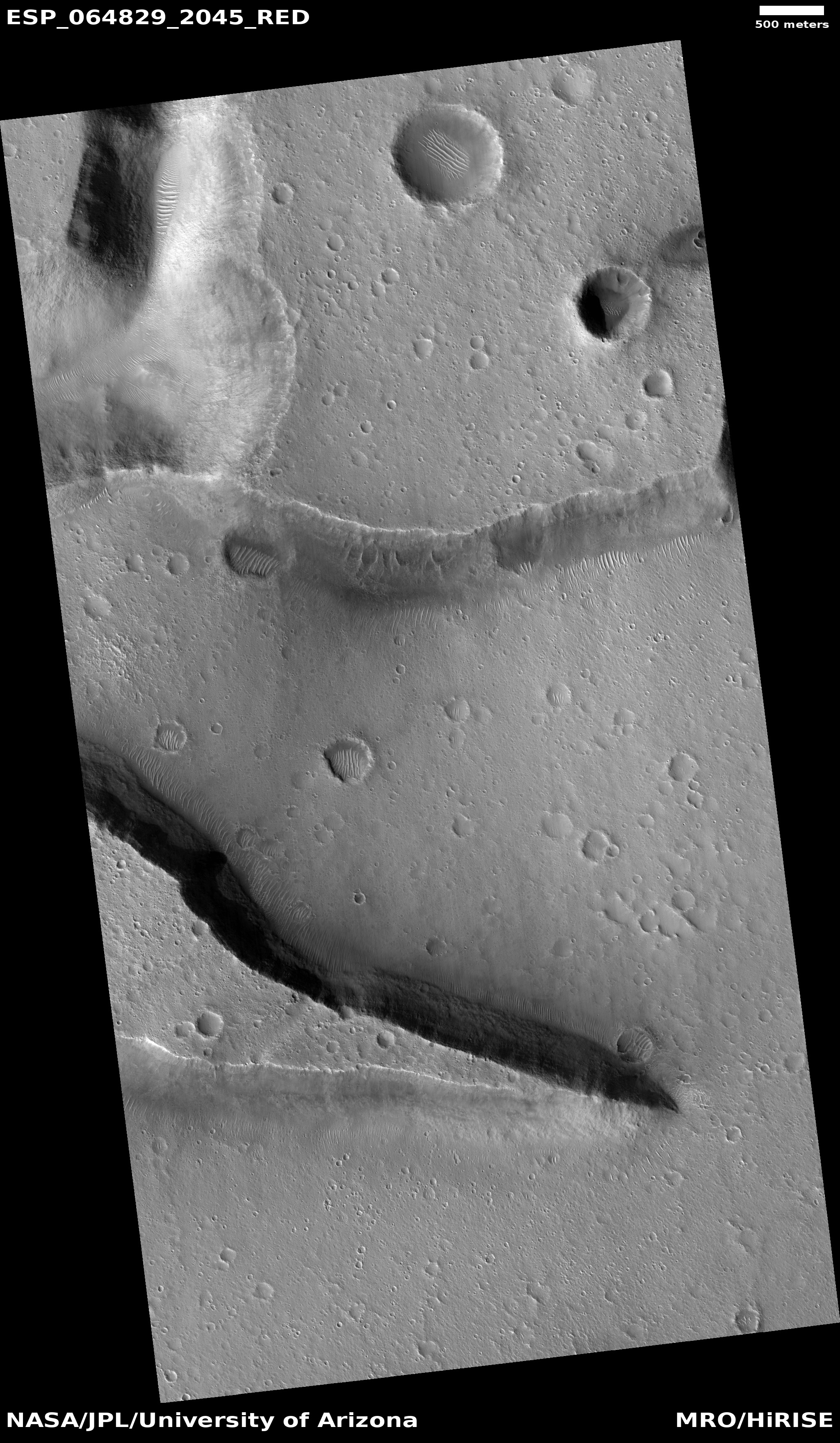
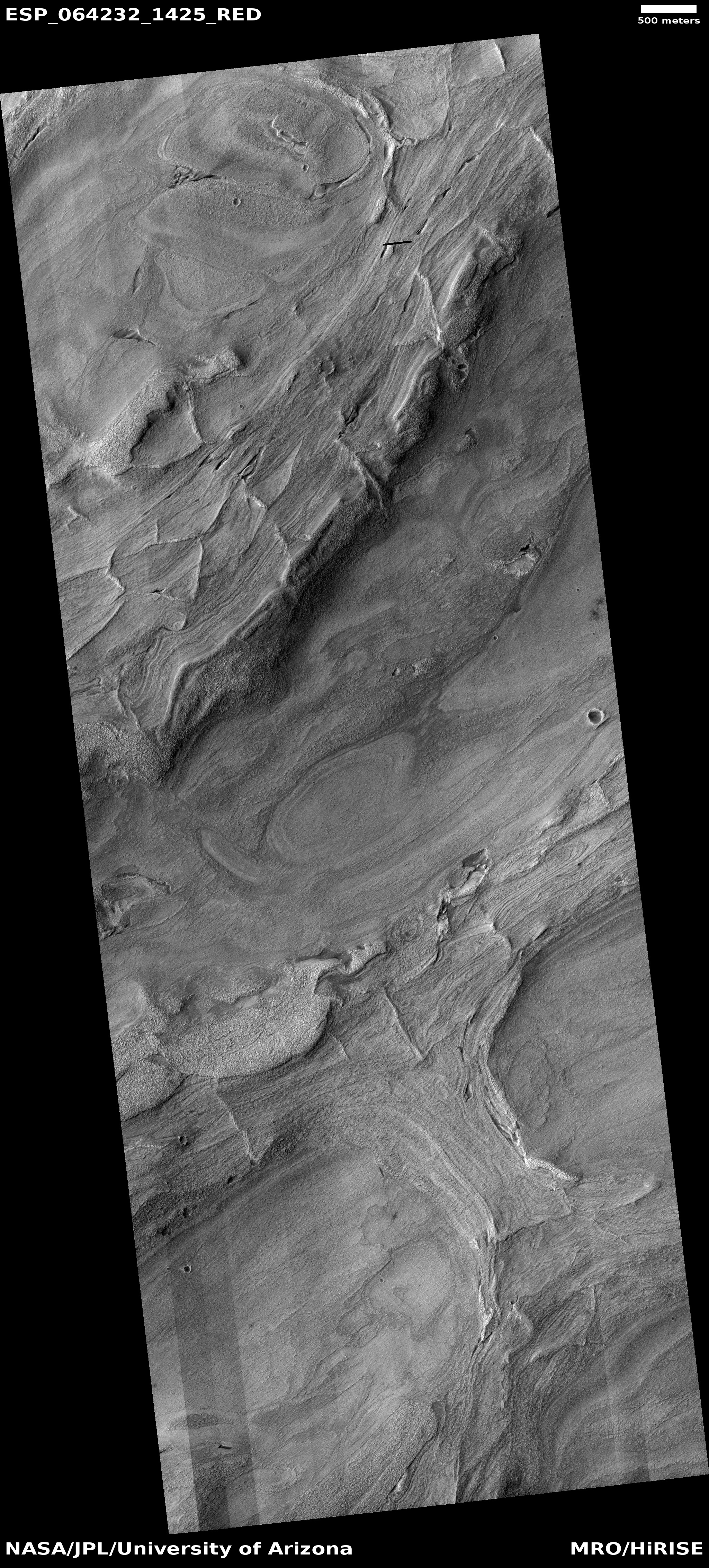
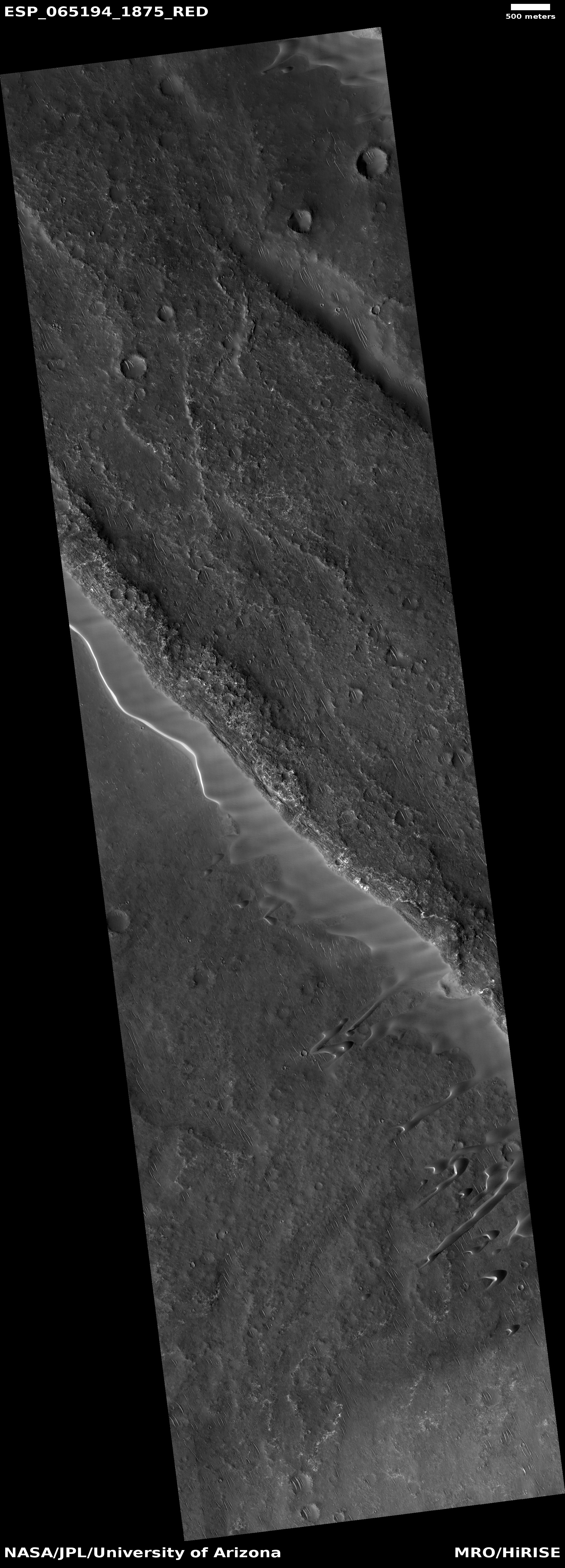
Cool image time! The photo to the left, rotated, cropped, and reduced to post here, was taken on June 23, 2020 by the high resolution camera on Mars Reconnaissance Orbiter (MRO). I was attracted by the uncaptioned image’s title, “Elongating Linear Dunes at Meroe Patera.” What are elongating linear dunes?
The photo shows two such dunes, stretching out to the southwest away from the pile of sand that abuts the cliff to the northwest. Unlike most dunes, which usually form and travel in groups, these for some reason form single straight lines extending for some distance.
I contacted the scientist who requested this image, Joel Davis of the Natural History Museum in London, hoping he could answer some questions about these strangely shaped dunes, and discovered that he was studying this exact subject for a paper since published. As noted in the paper’s introduction,
» Read more