
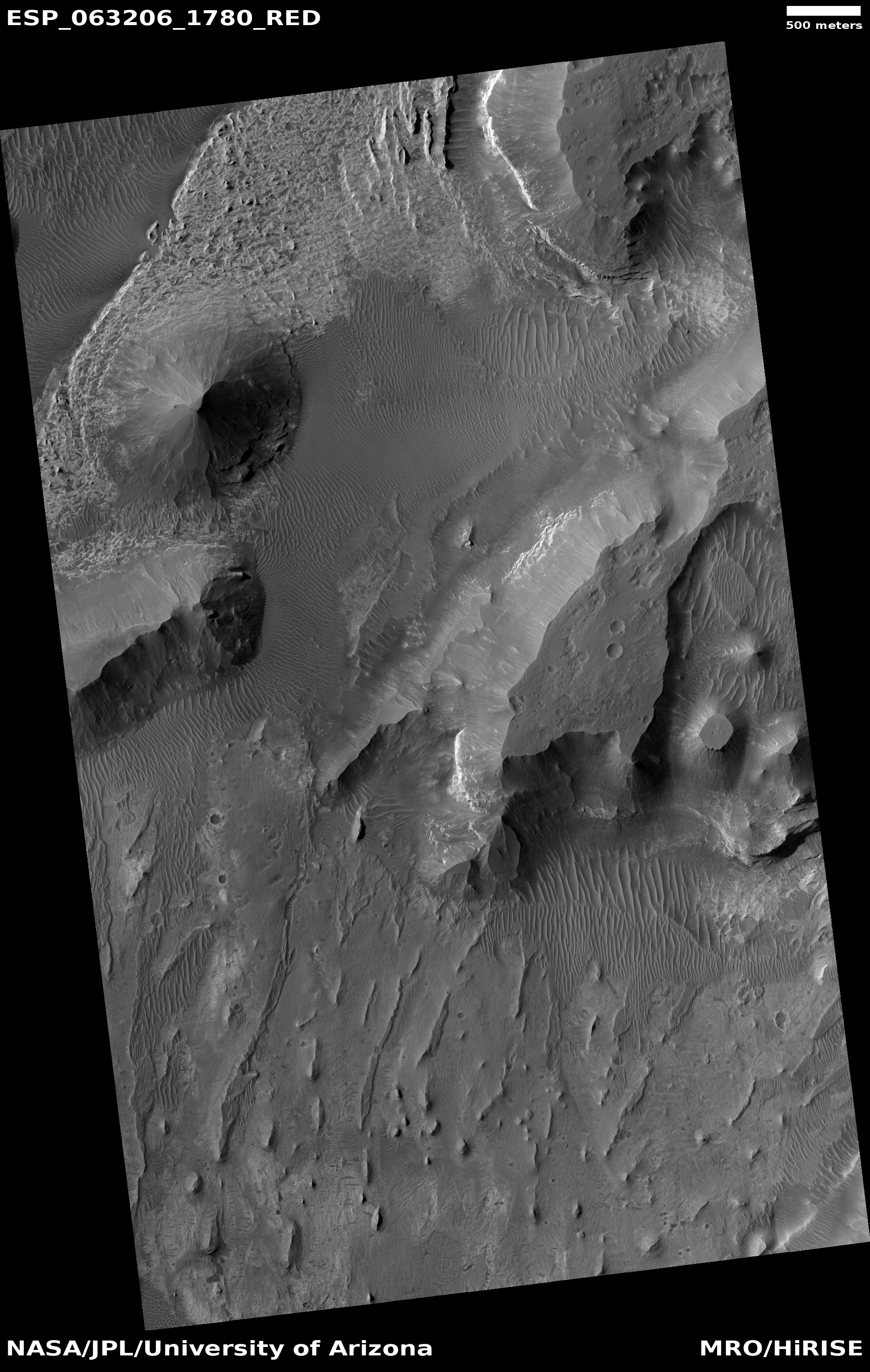
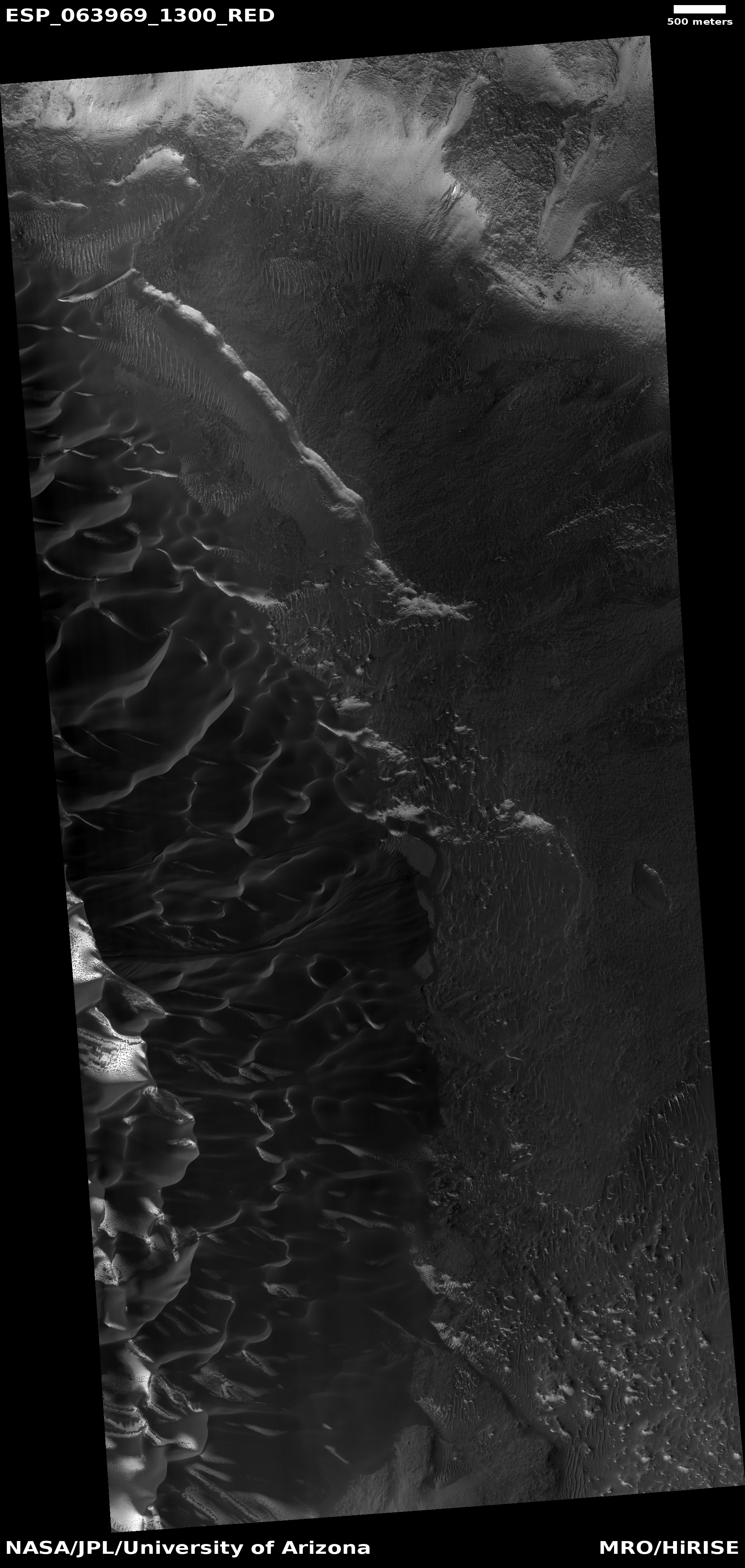
The eroding edge of Mars’ largest volcanic ash field
Click for full image.
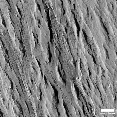
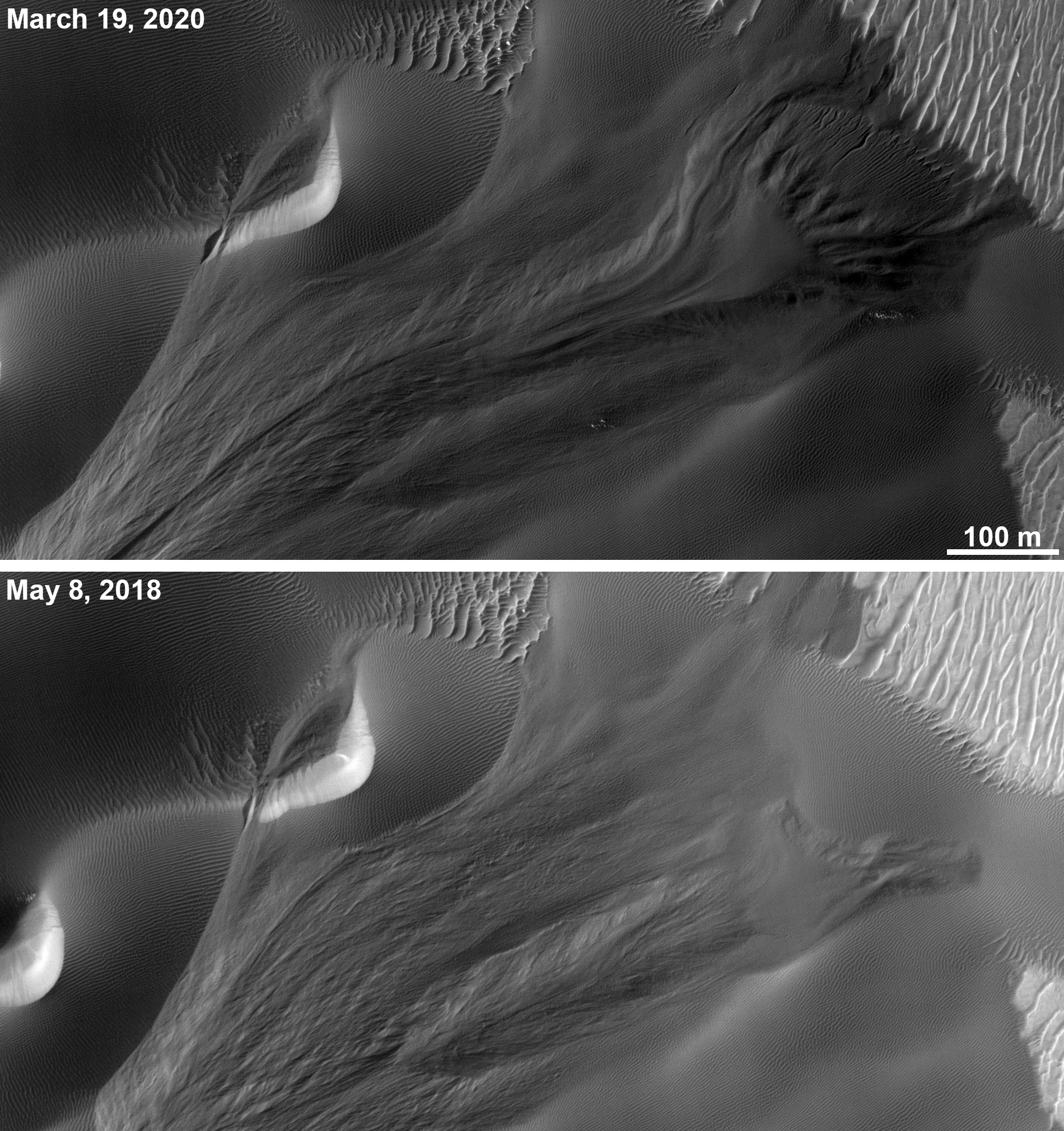
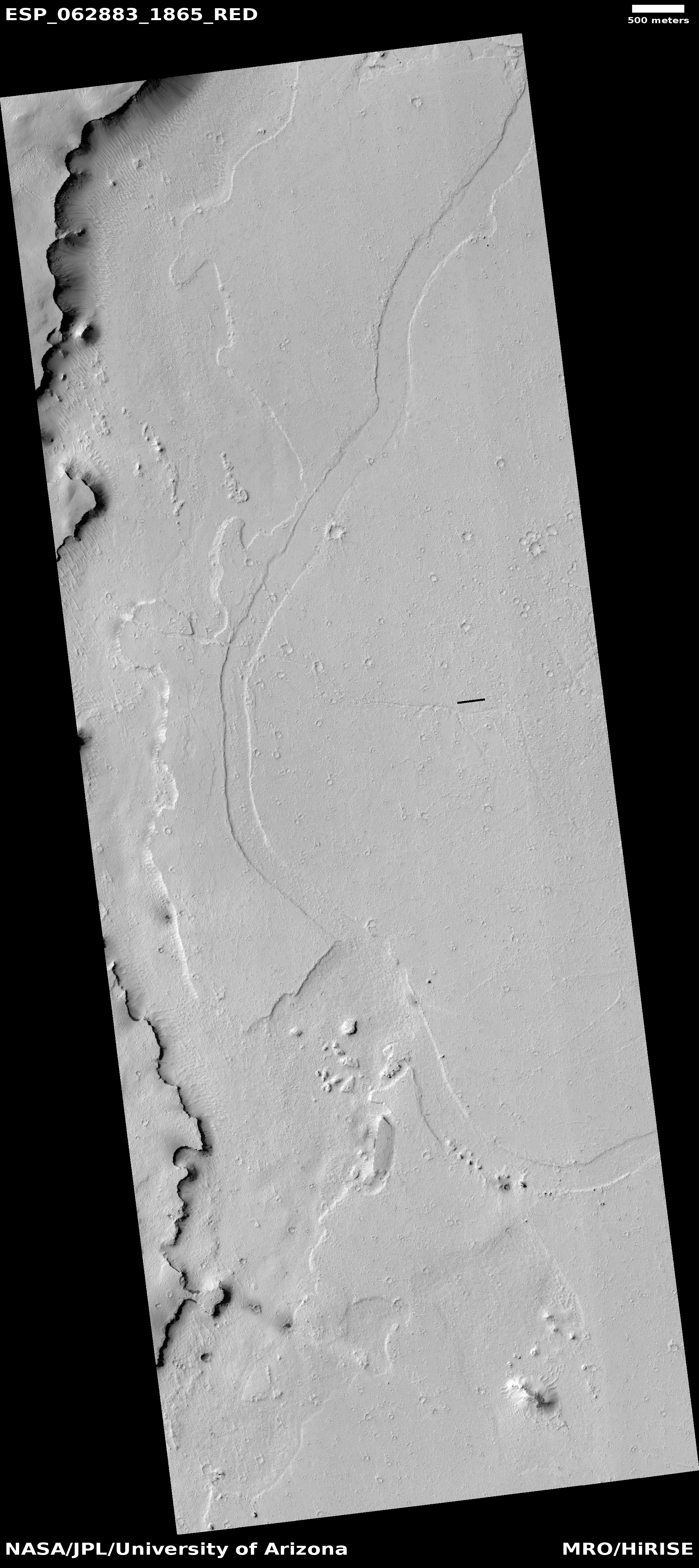
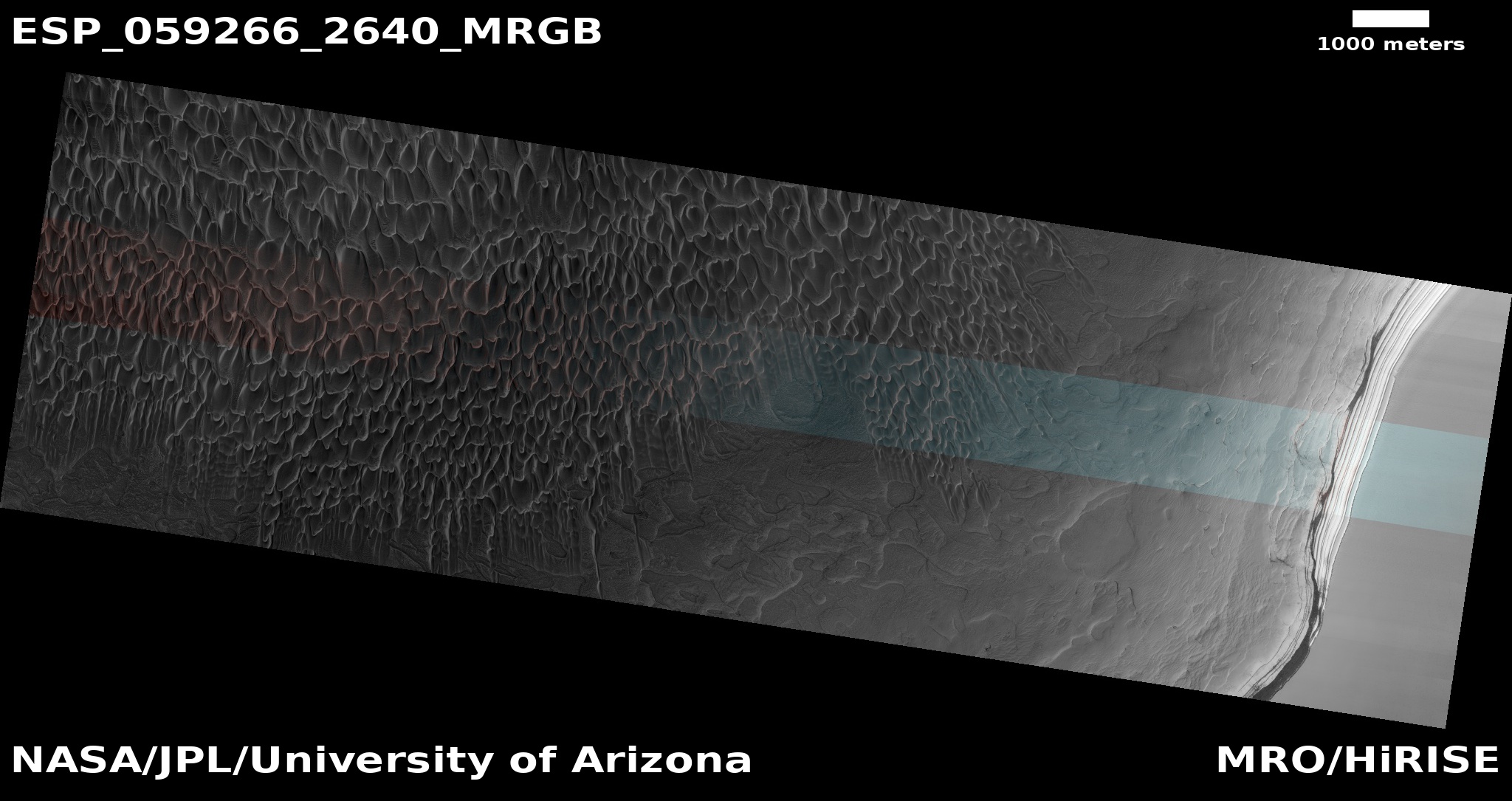
Cool image time! In the regions between the biggest volcanoes on Mars is the Medusae Fossae Formation, a immense deposit of volcanic ash that extends across as much surface area as the nation of India. As planetary scientist Kevin Lewis of Johns Hopkins University explained to me previously,
In general, much of the [formation] seems to be in net erosion now, retaining very few craters on the surface. …One hypothesis is that this long term erosion, since it’s so enormous, is the primary source of the dust we see covering the much of the planet’s surface.
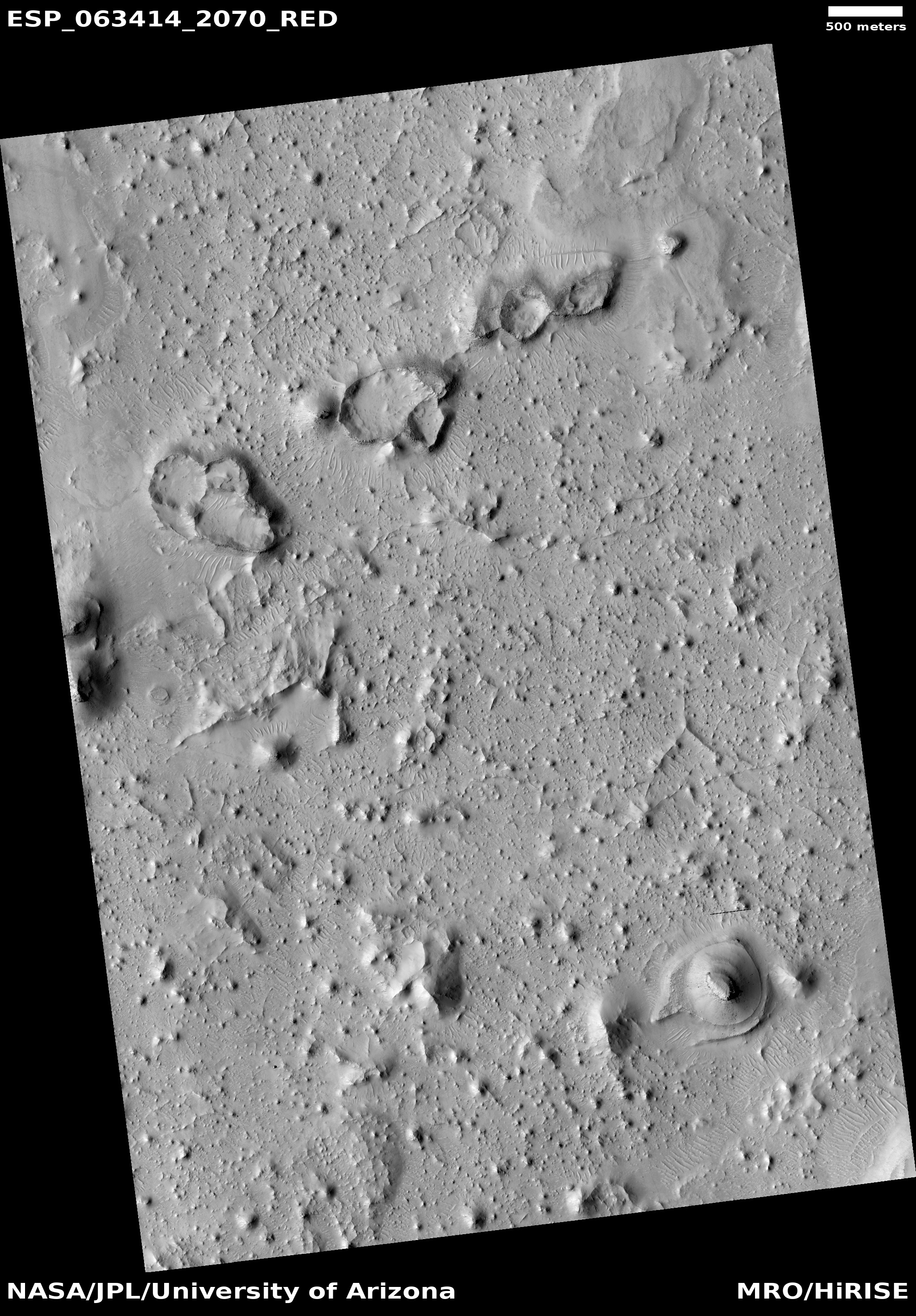
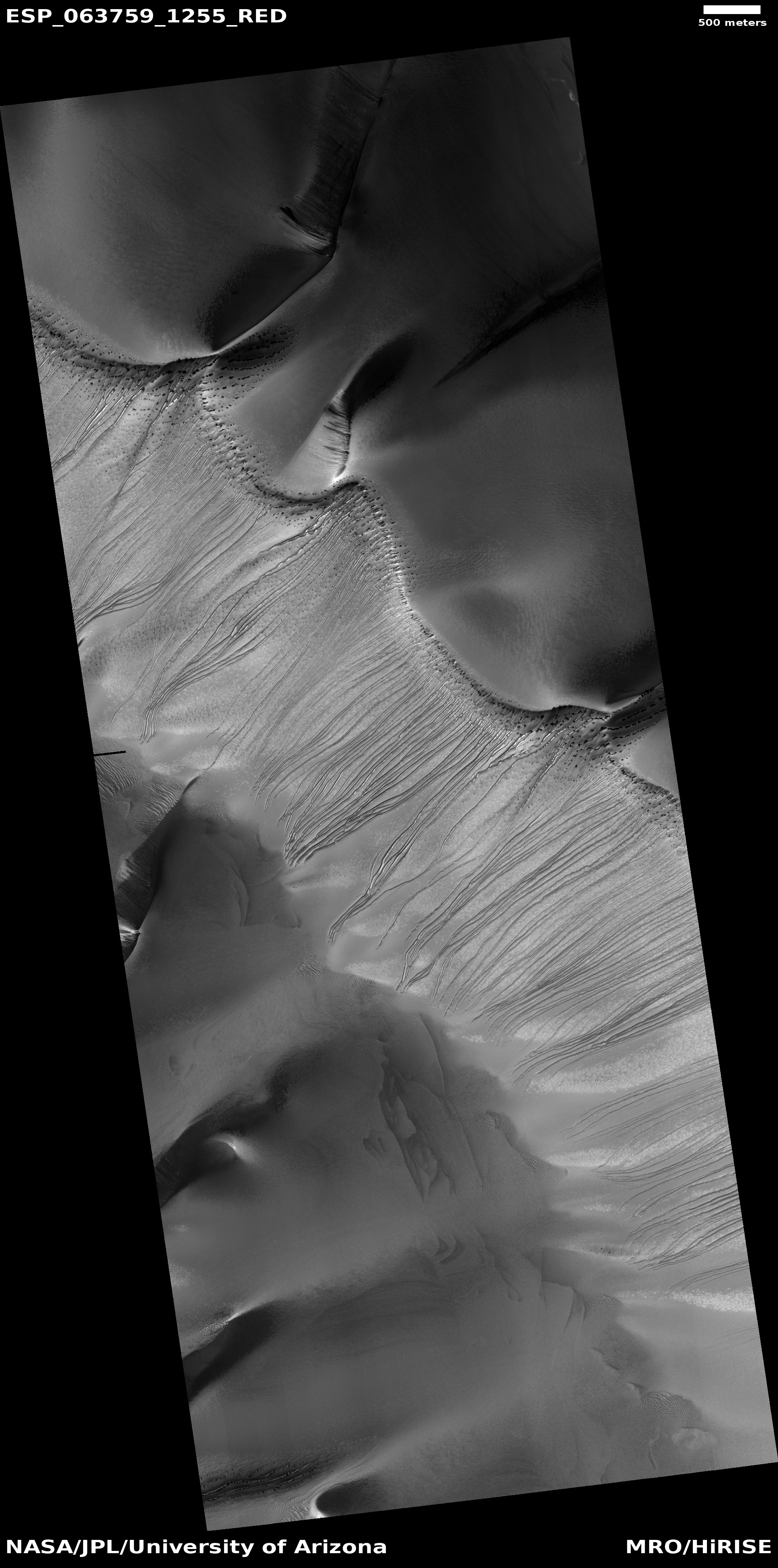
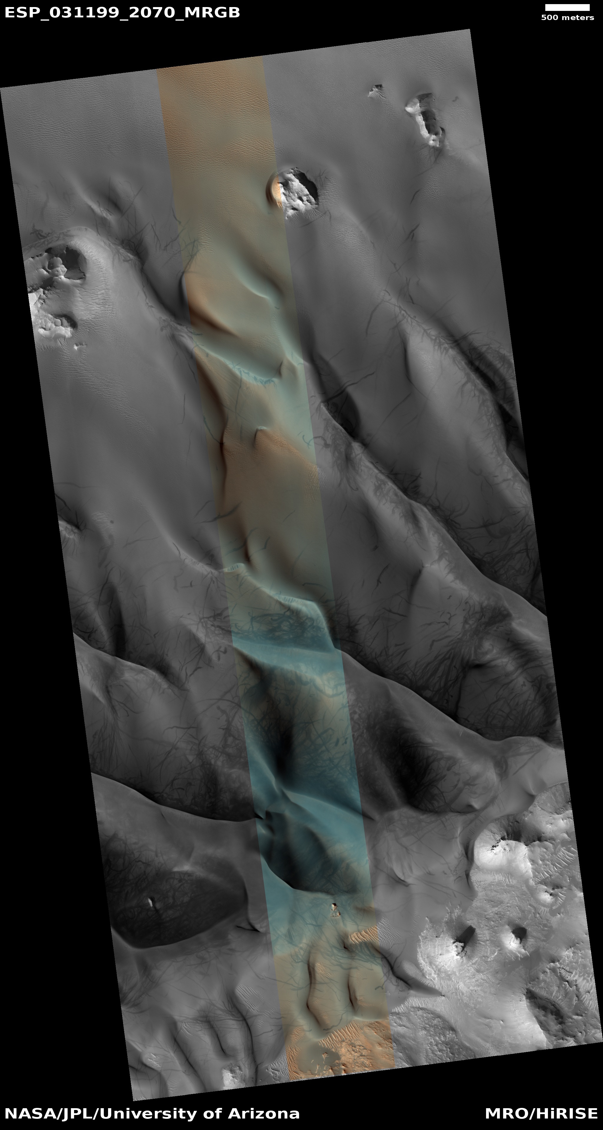
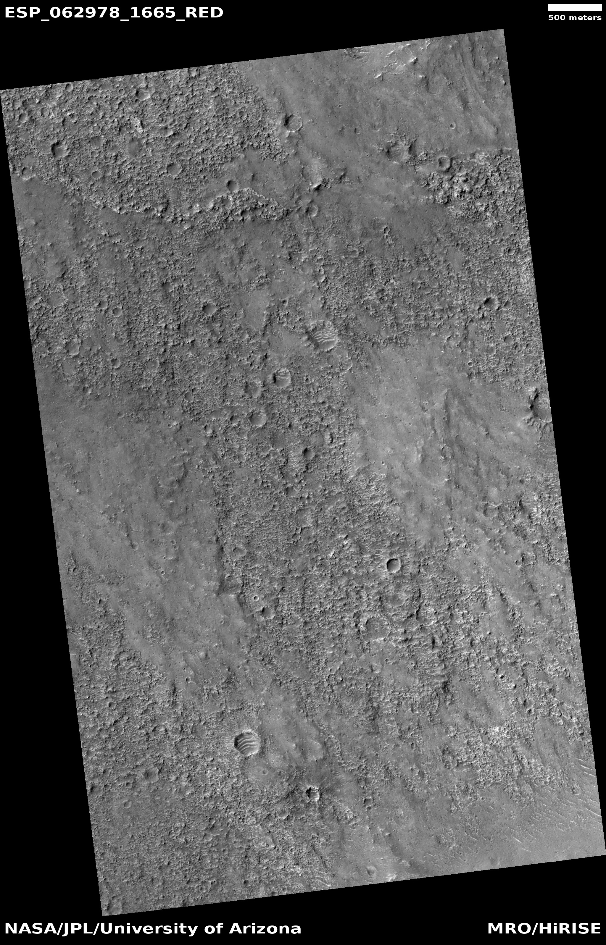
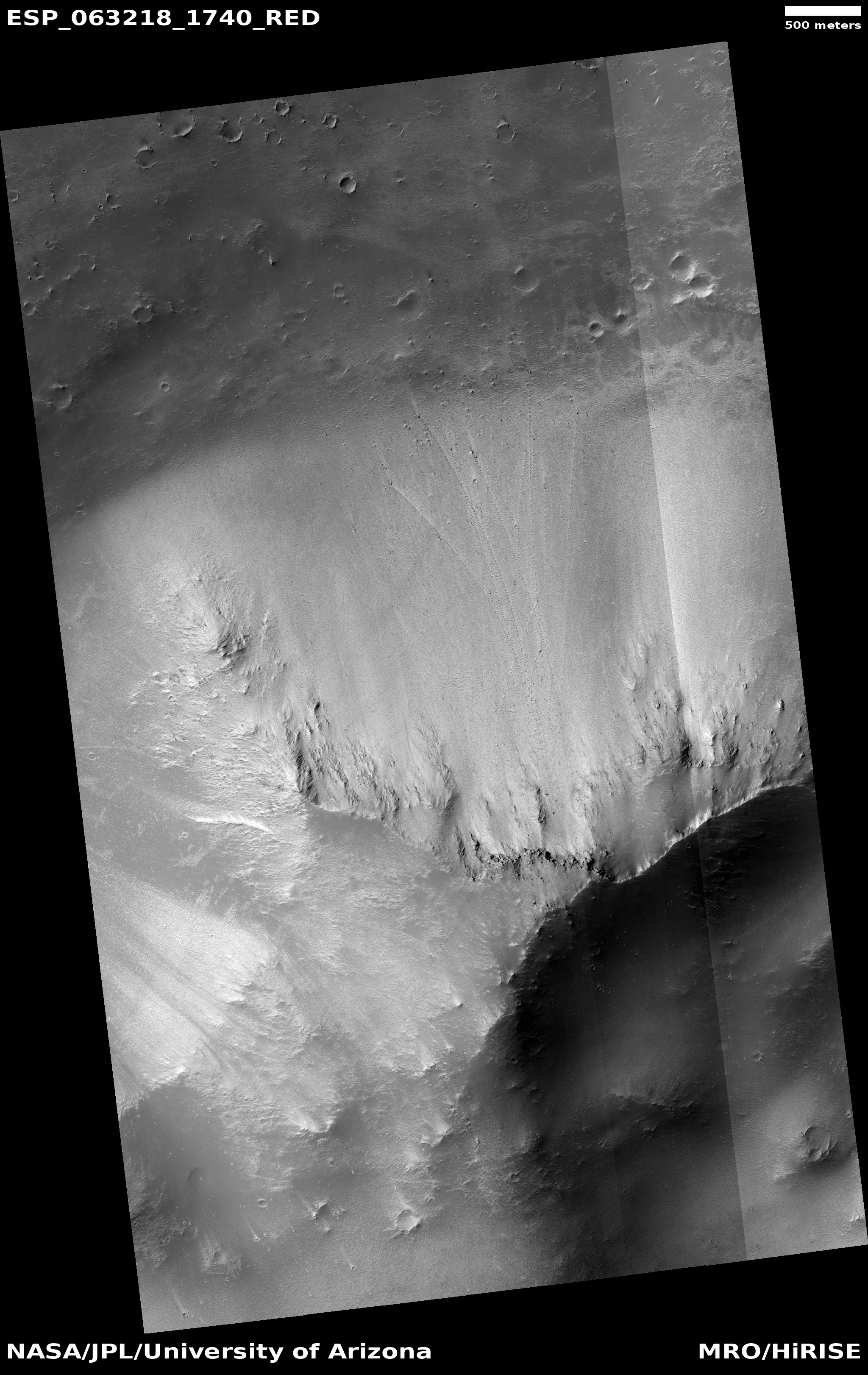
The image above, cropped and reduced to post here, was taken by the high resolution camera on Mars Reconnaissance Orbiter (MRO) on January 25, 2020. It shows one very small area at the very edge of the Medusae ash deposit, in a region where that deposit is clearly being eroding away by the prevailing southeast-to-northwest winds. The mesas of this ash that remain are called yardangs, their ash more tightly pressed together so that it resists erosion a bit longer than the surrounding material.
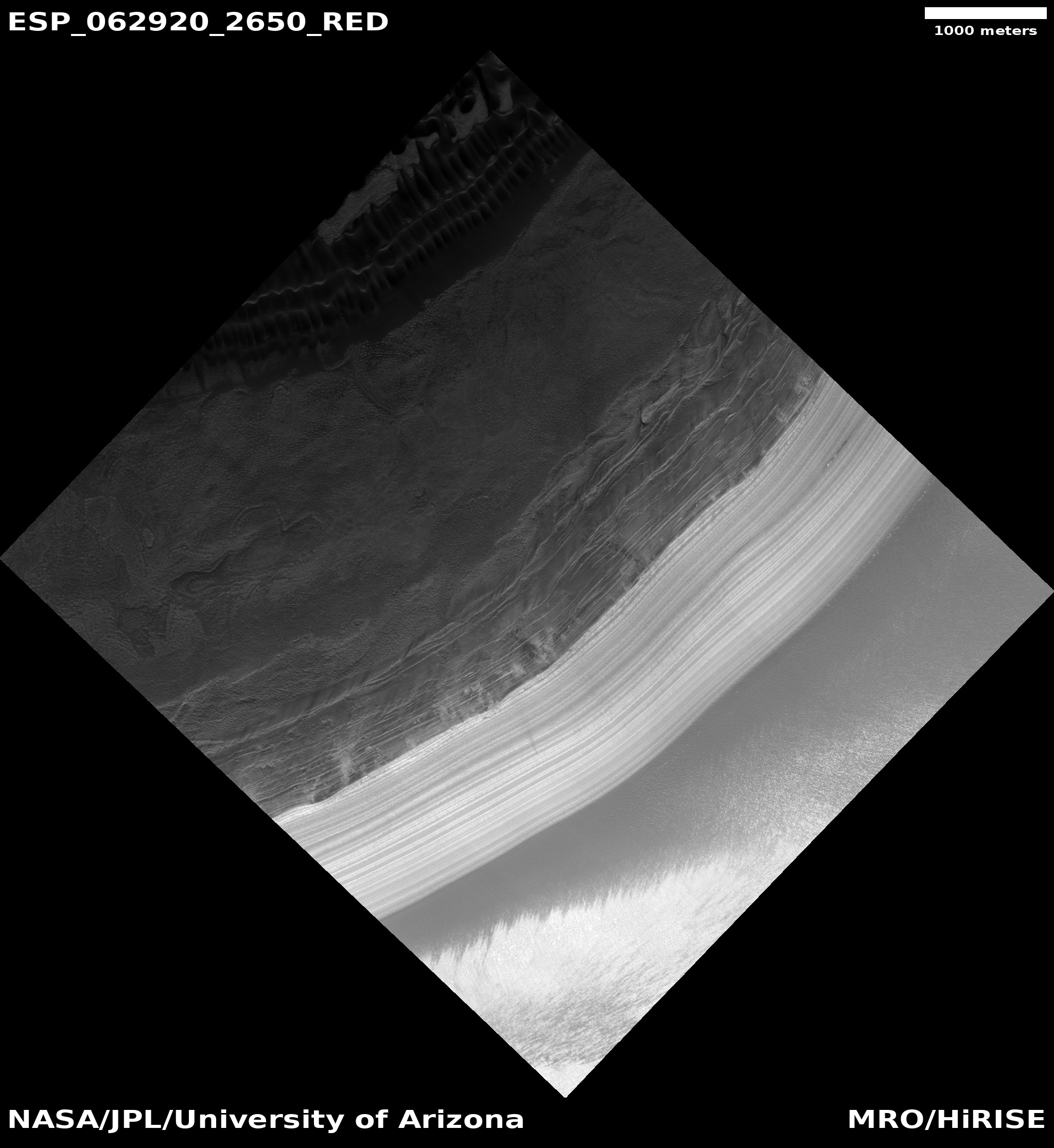
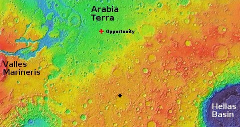
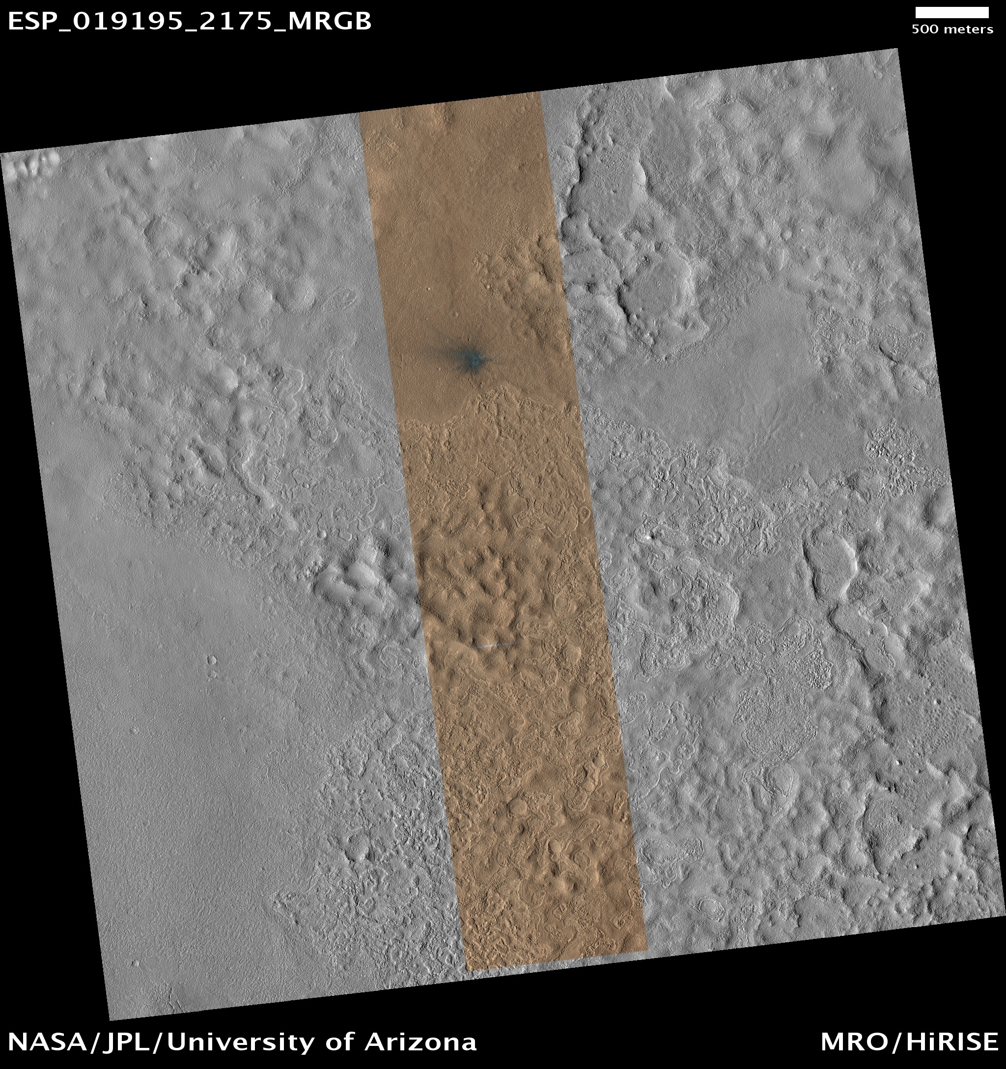
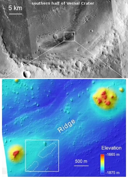
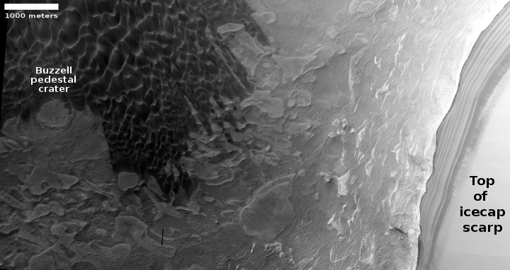
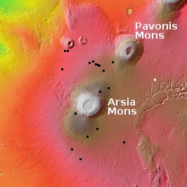
In the context map below the location of these yardangs is indicated by the white cross, right on the edge of the Medusae ash field.
» Read more
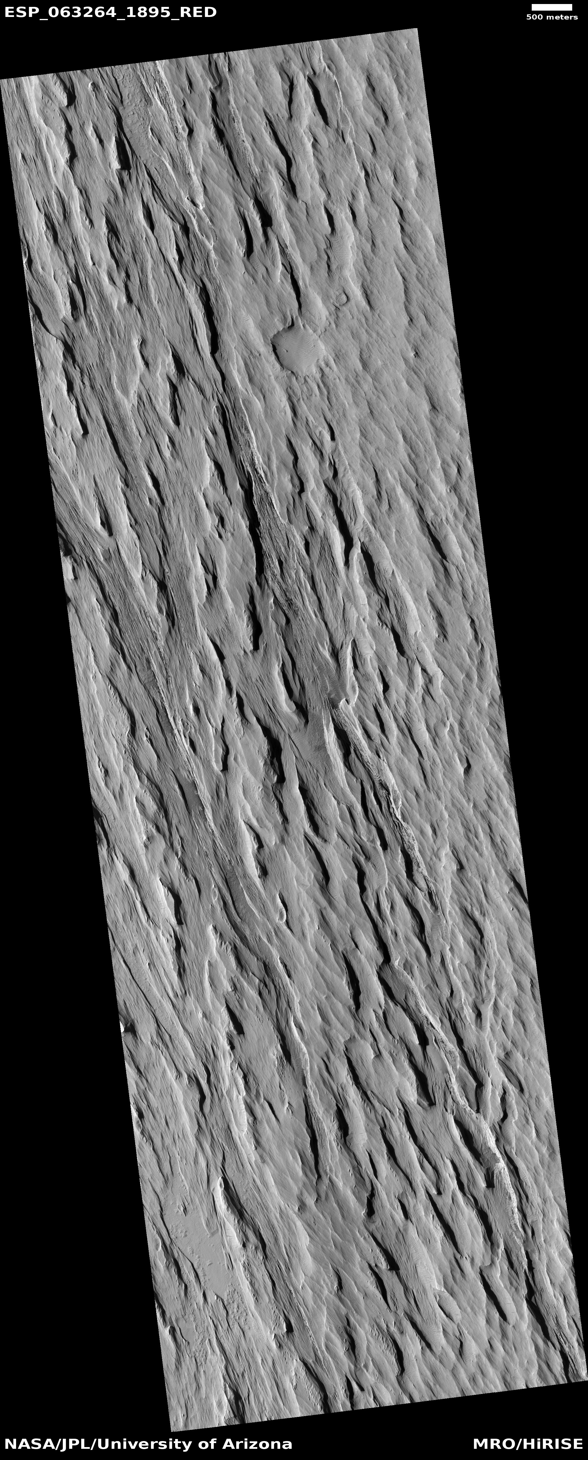
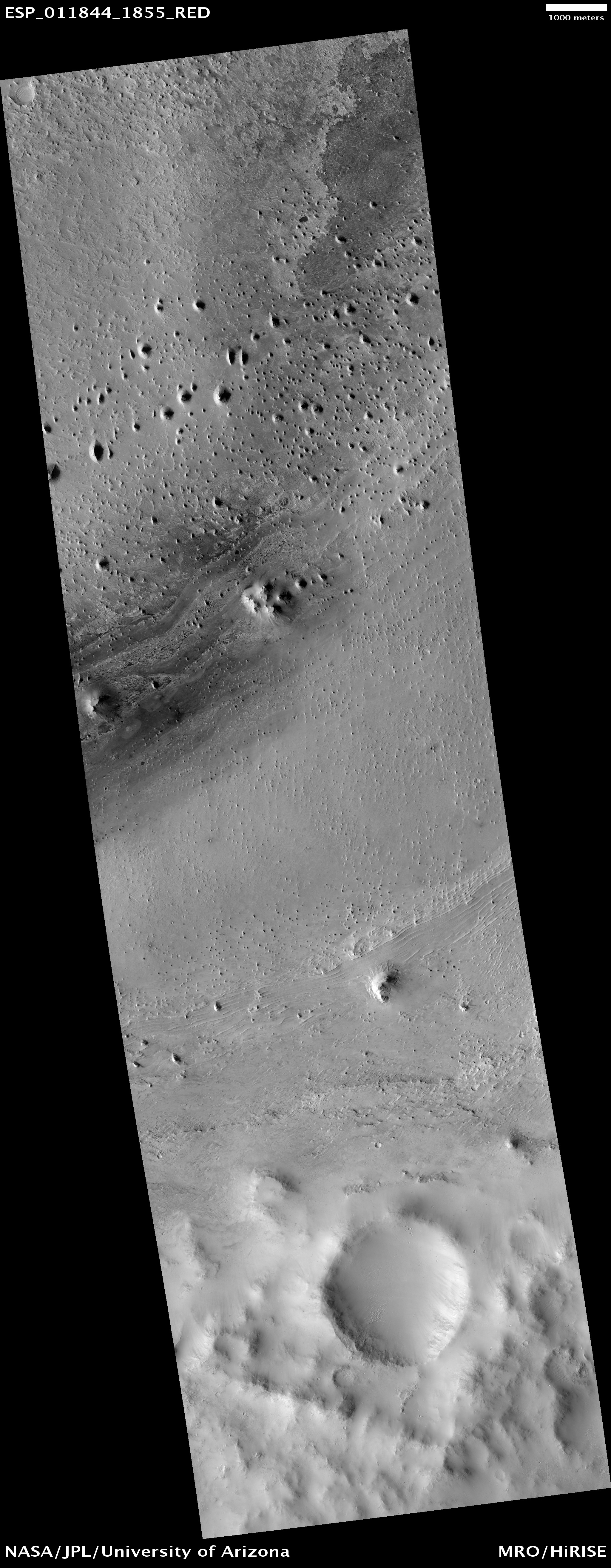
Click for full image.
Cool image time! In the regions between the biggest volcanoes on Mars is the Medusae Fossae Formation, a immense deposit of volcanic ash that extends across as much surface area as the nation of India. As planetary scientist Kevin Lewis of Johns Hopkins University explained to me previously,
In general, much of the [formation] seems to be in net erosion now, retaining very few craters on the surface. …One hypothesis is that this long term erosion, since it’s so enormous, is the primary source of the dust we see covering the much of the planet’s surface.
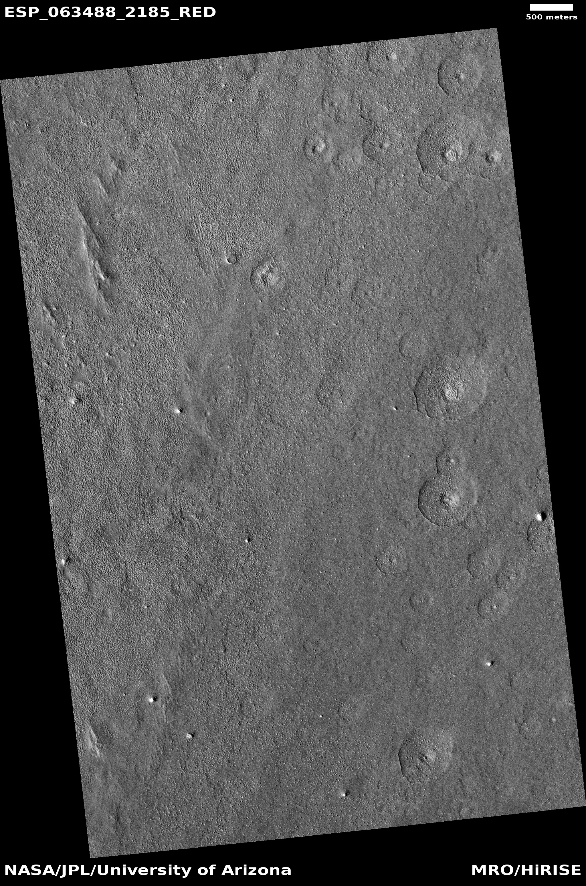
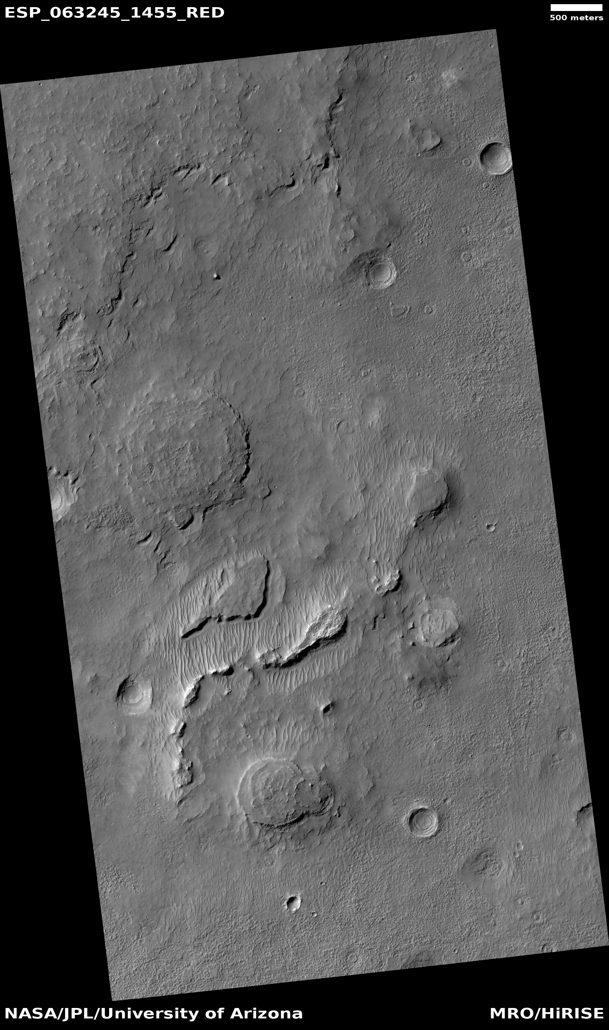
The image above, cropped and reduced to post here, was taken by the high resolution camera on Mars Reconnaissance Orbiter (MRO) on January 25, 2020. It shows one very small area at the very edge of the Medusae ash deposit, in a region where that deposit is clearly being eroding away by the prevailing southeast-to-northwest winds. The mesas of this ash that remain are called yardangs, their ash more tightly pressed together so that it resists erosion a bit longer than the surrounding material.
In the context map below the location of these yardangs is indicated by the white cross, right on the edge of the Medusae ash field.
» Read more


