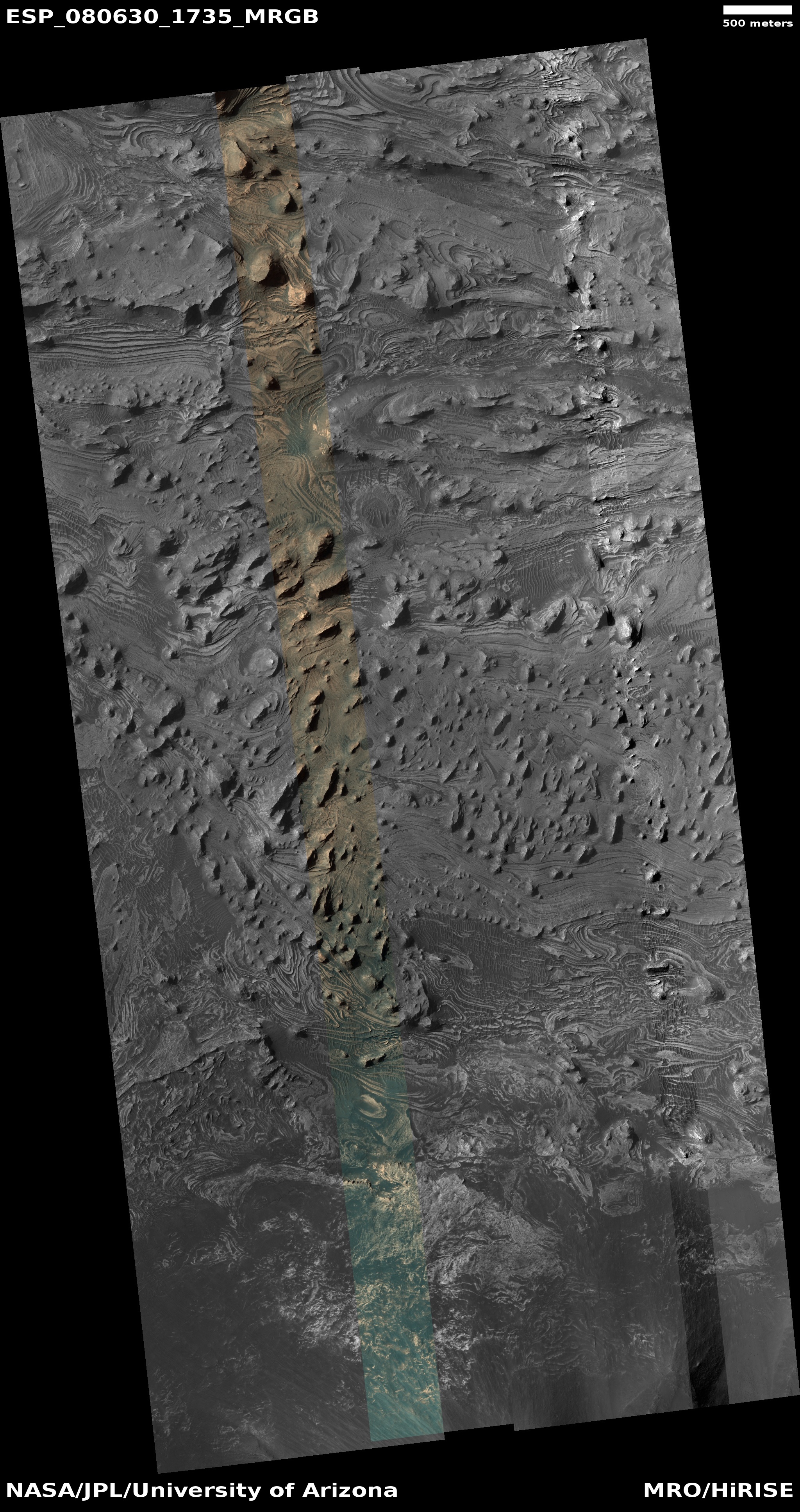
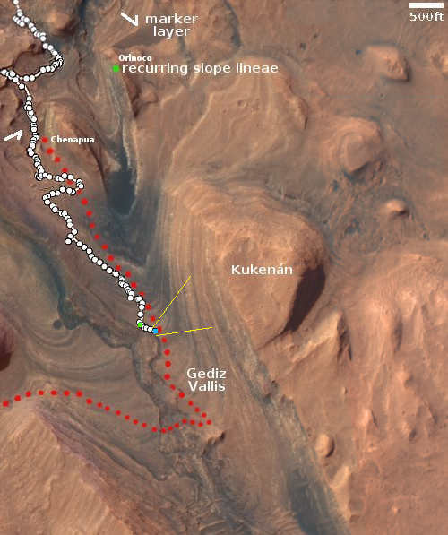
A Martian tadpole

Click for original image.
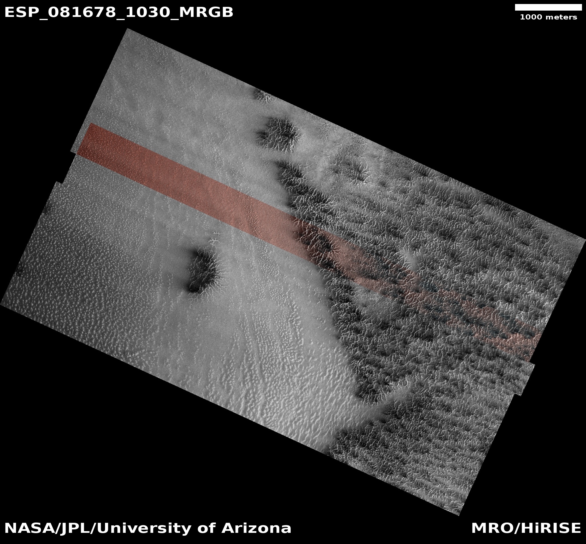
Cool image time! The picture to the right, rotated, cropped, reduced, and sharpened to post here, was taken on December 28, 2023 by the high resolution camera on Mars Reconnaissance Orbiter (MRO).
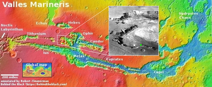
The white dot on the overview map above marks the location, with the rectangle in the inset marking the area covered by the picture. The science team labels this “inverted features,” a more vague way to describe the feature geologists dub “inverted channels.” The flow of a river or glacier acts to harden and increase the density of the channel bed. Later, the water or ice disappears, leaving just the canyon.
Even later, erosion begins to wear away the surrounding terrain. Because the canyon floor is now harder than that surrounding terrain, that floor is more resistent to erosion, and eventually becomes ridge following the exact same path as the long gone river or glacier.
This is what we have here, with this inverted channel, which is about five miles long, once draining into the deeper eroded valley to the south.
The location is at 38 degrees north latitude and inside the 2,000-mile-long mid-latitude region I dub glacier country, because almost every image shows evidence of glaciers or ice flows on the surface. This picture however is a rare exception. The features in this picture instead appear to be bedrock, something that is rarely seen in the canyons and craters in glacier country. It is beyond my pay grade however to explain why this spot lacks such features. Or it could be the near surface ice here looks so much like bedrock I am misinterpreting the picture.