Catastrophes on Mars and Earth
Click for full image.
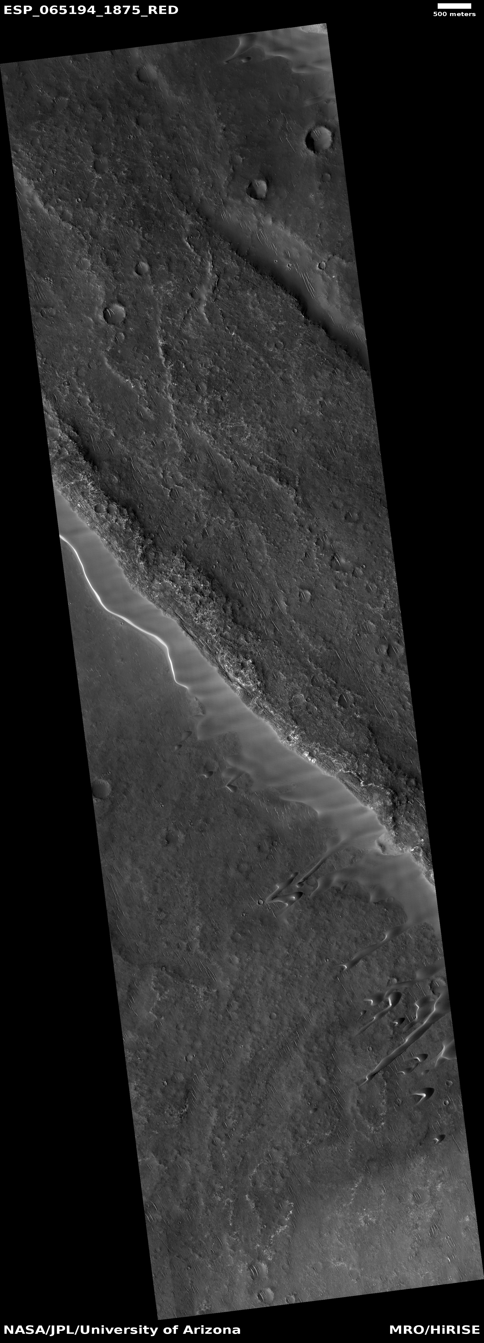
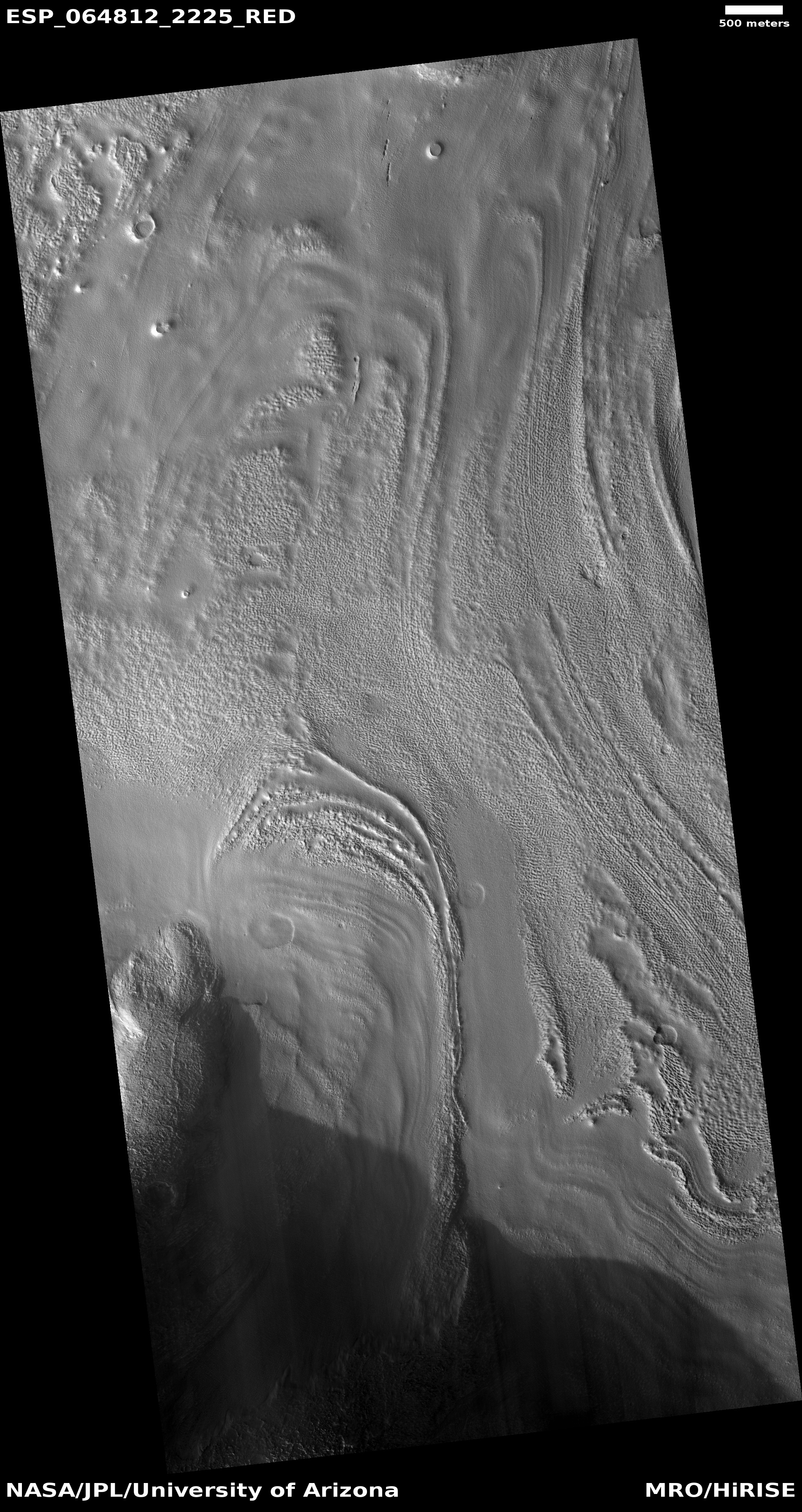
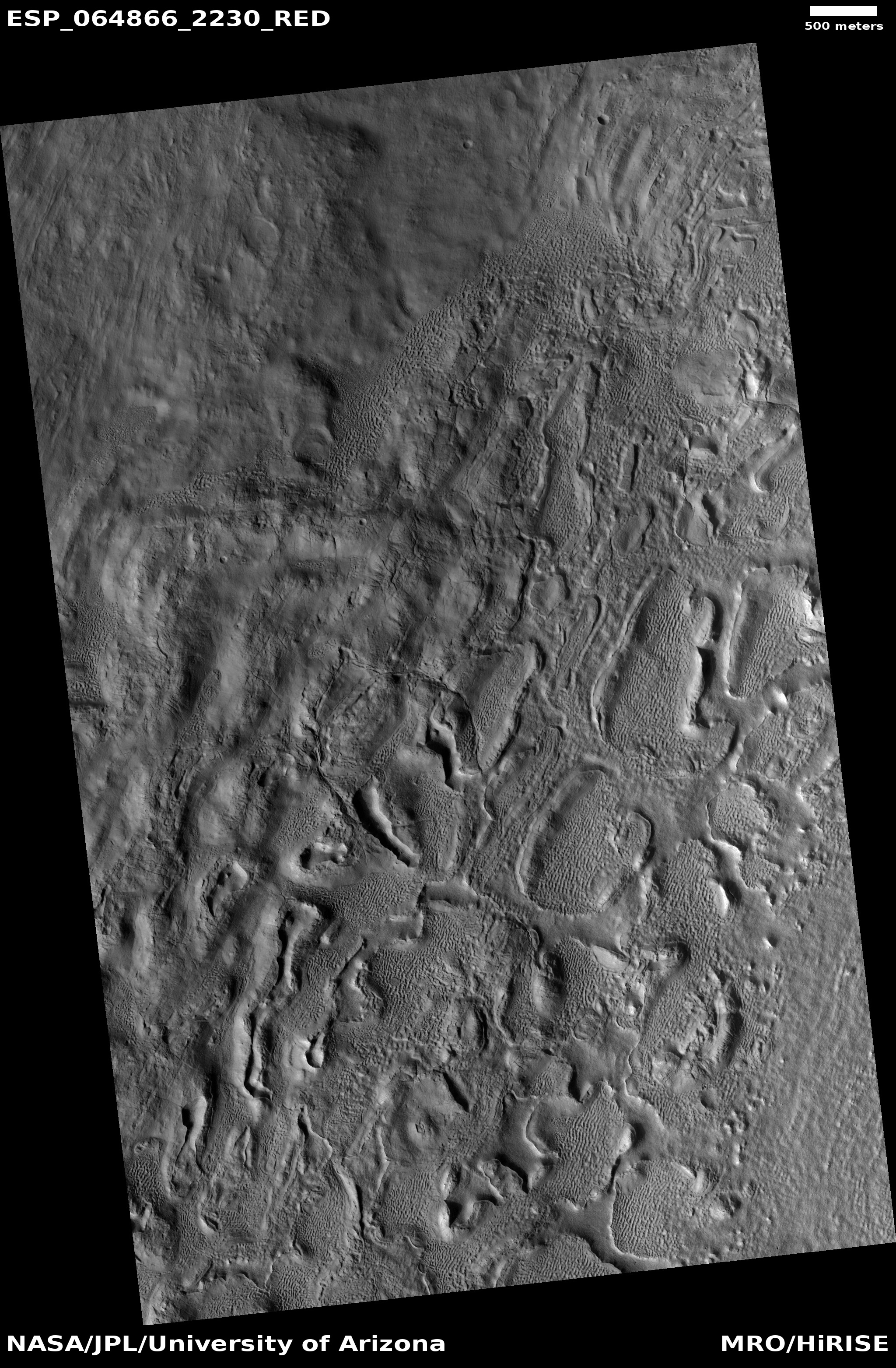
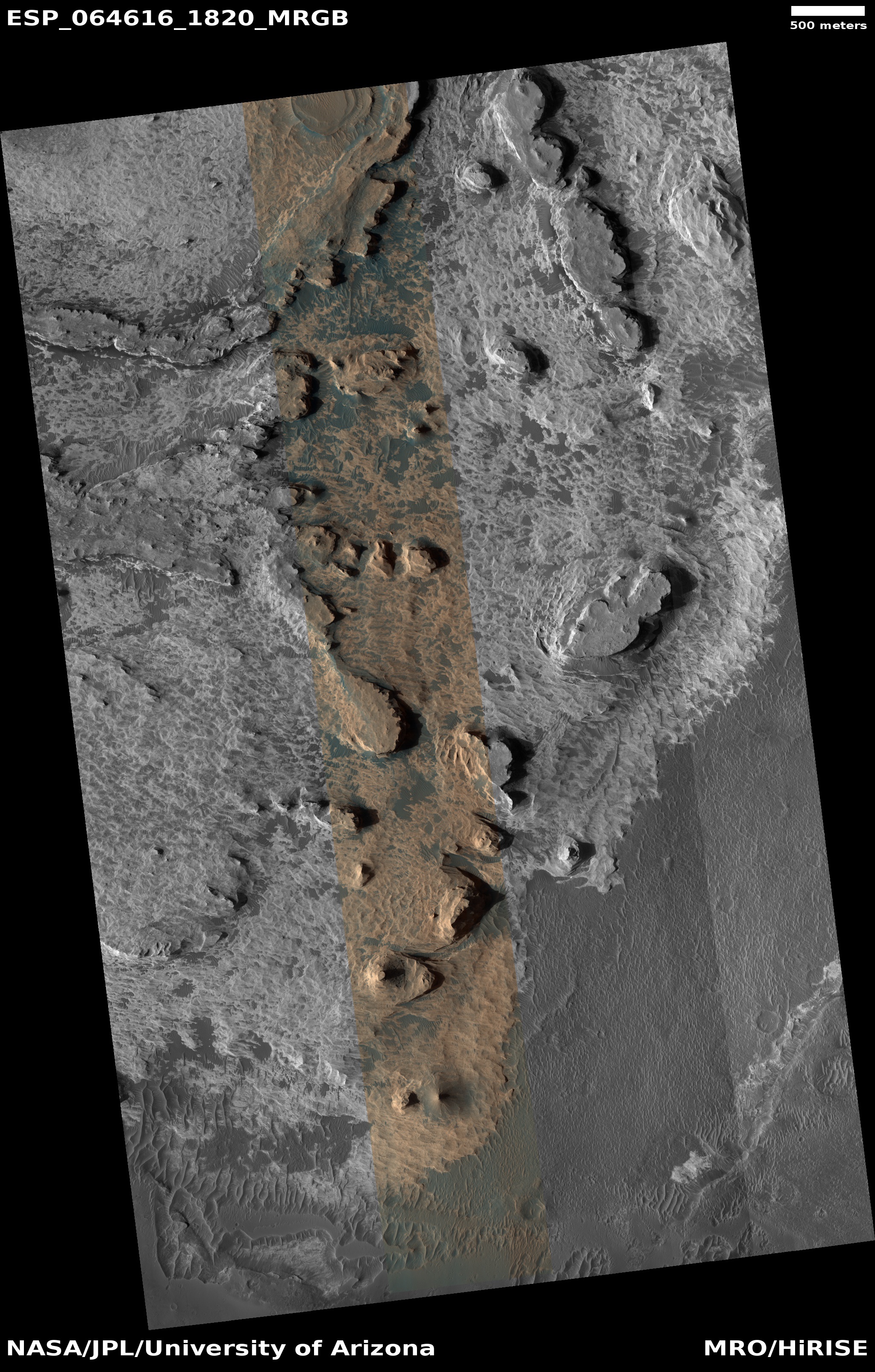
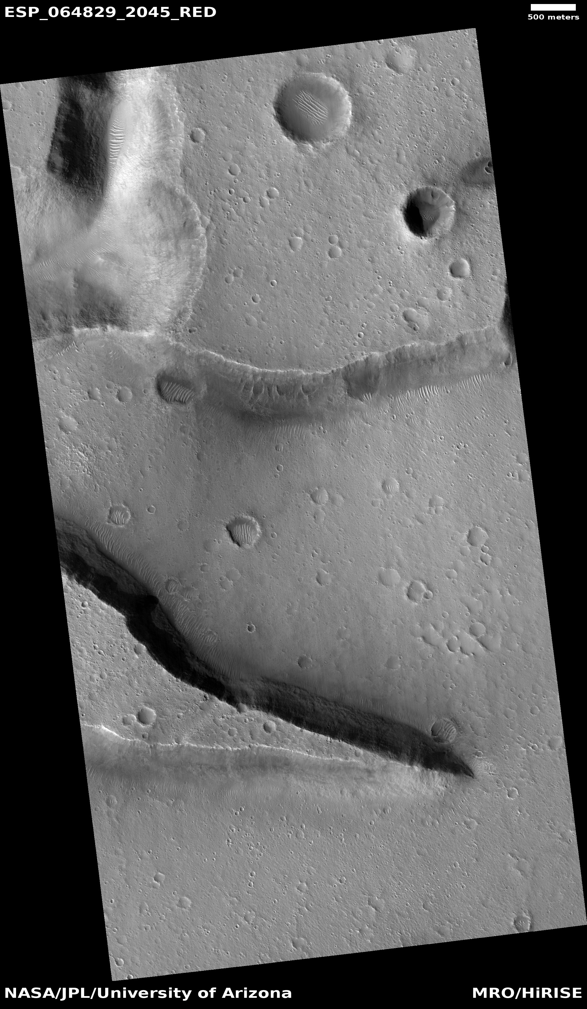
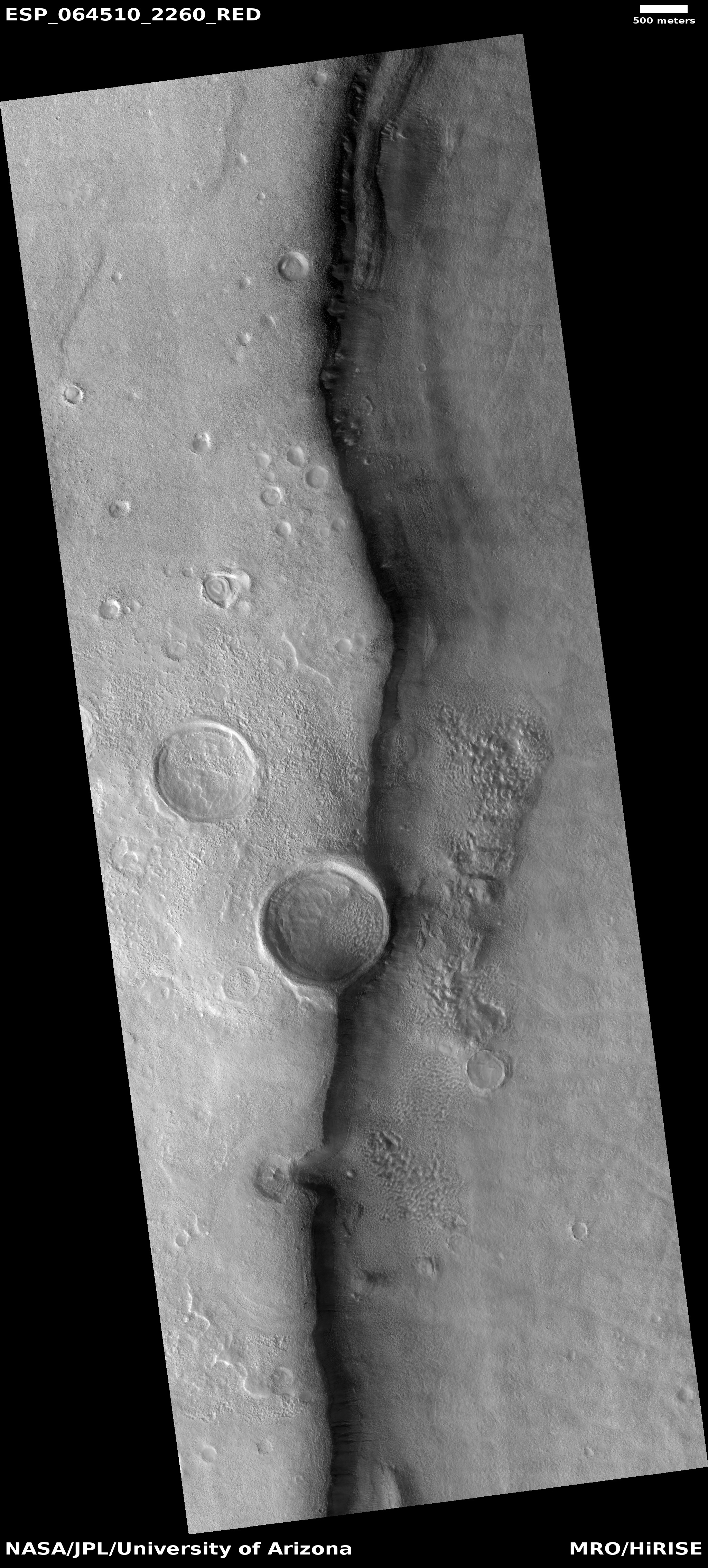
Cool image time! The photo to the right, rotated, cropped, and reduced to post here, was taken by the high resolution camera on Mars Reconnaissance Orbiter (MRO) on May 13, 2020, and shows what appears to be a giant block that at some point was attached to the cliff, and then broke off and fell away to the north. Subsequent erosion over the later eons widened the break until it now looks like a canyon.
Sounds great, but the event that separated this big piece of mountain, almost a mile across, from its cliffside was possibly even more catastrophic. And it might not have involved a sudden break and fall, but something more spectacular, and also still impossible based on everything we know about Mars.
Uncovering what really happened at this spot on Mars will not only help us understand the geological history of the Red Planet, it could also amazingly enough help illustrate the cultural shifts going on right now on Earth, and how to shift them in a more rational and sane direction.
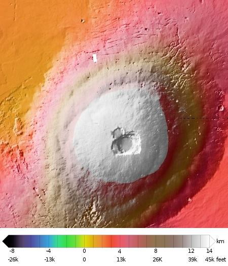
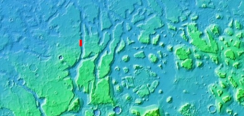
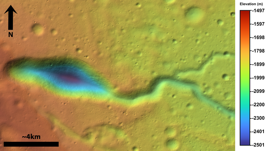
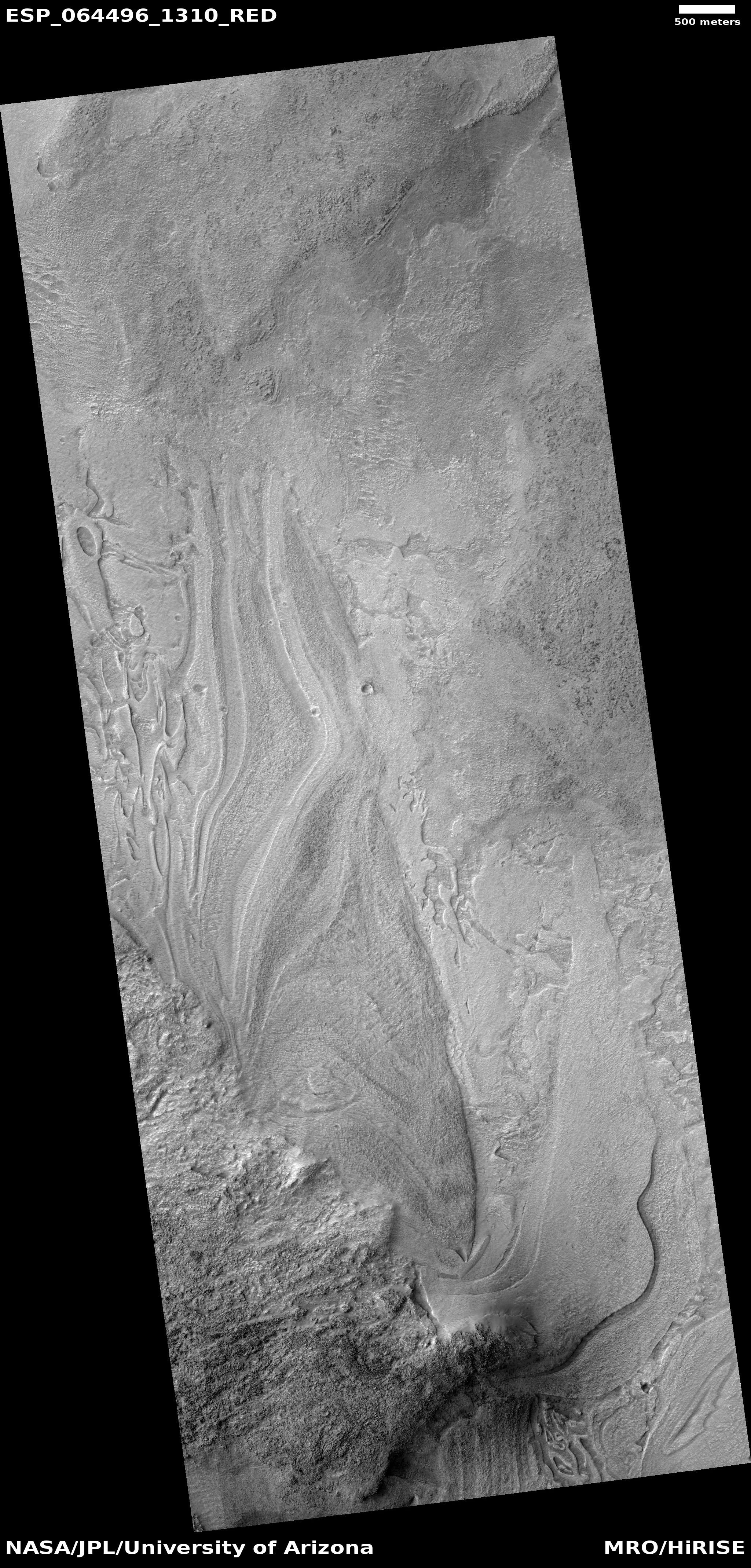
This image is located near the outlet of Kasei Valles, one of the larger valleys draining downward from the Tharsis Bulge where Mars’ giant volcanoes are located. The overview map below shows us what Kasei Valles looks like in this area.
» Read more