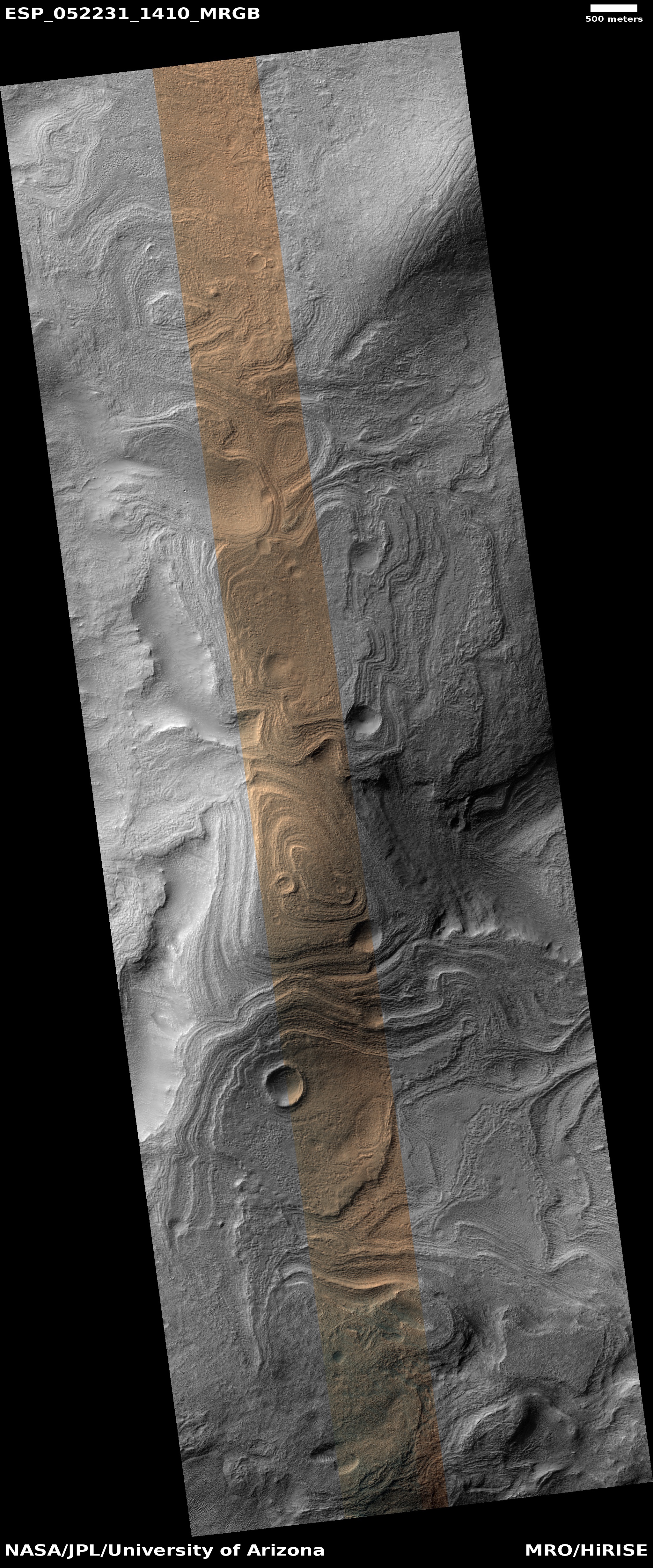
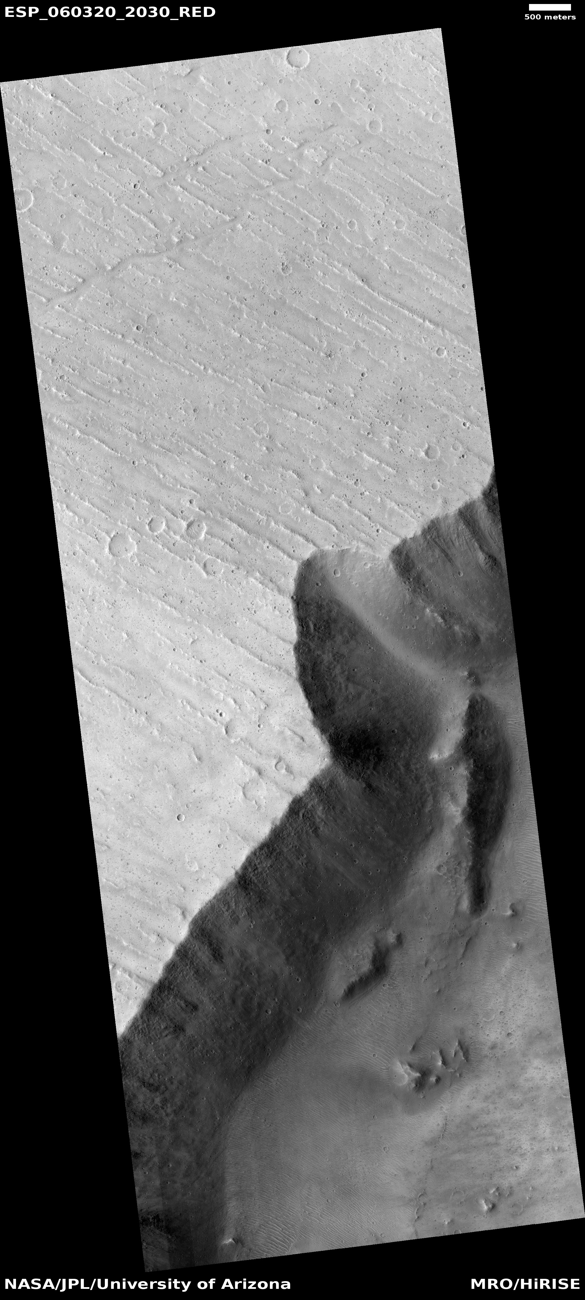
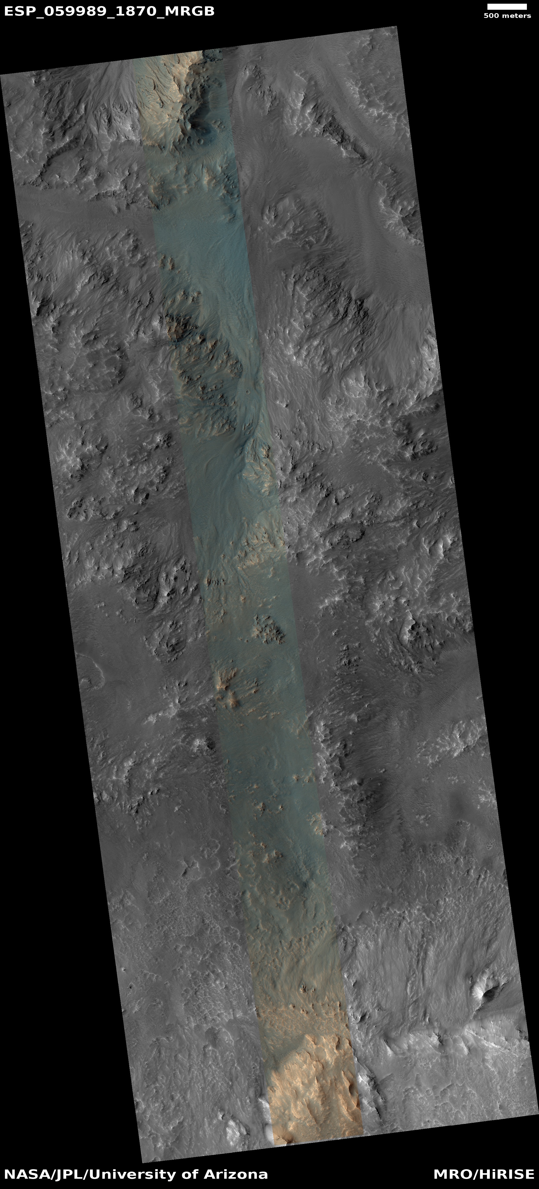
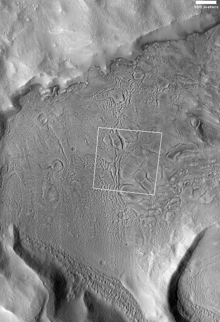
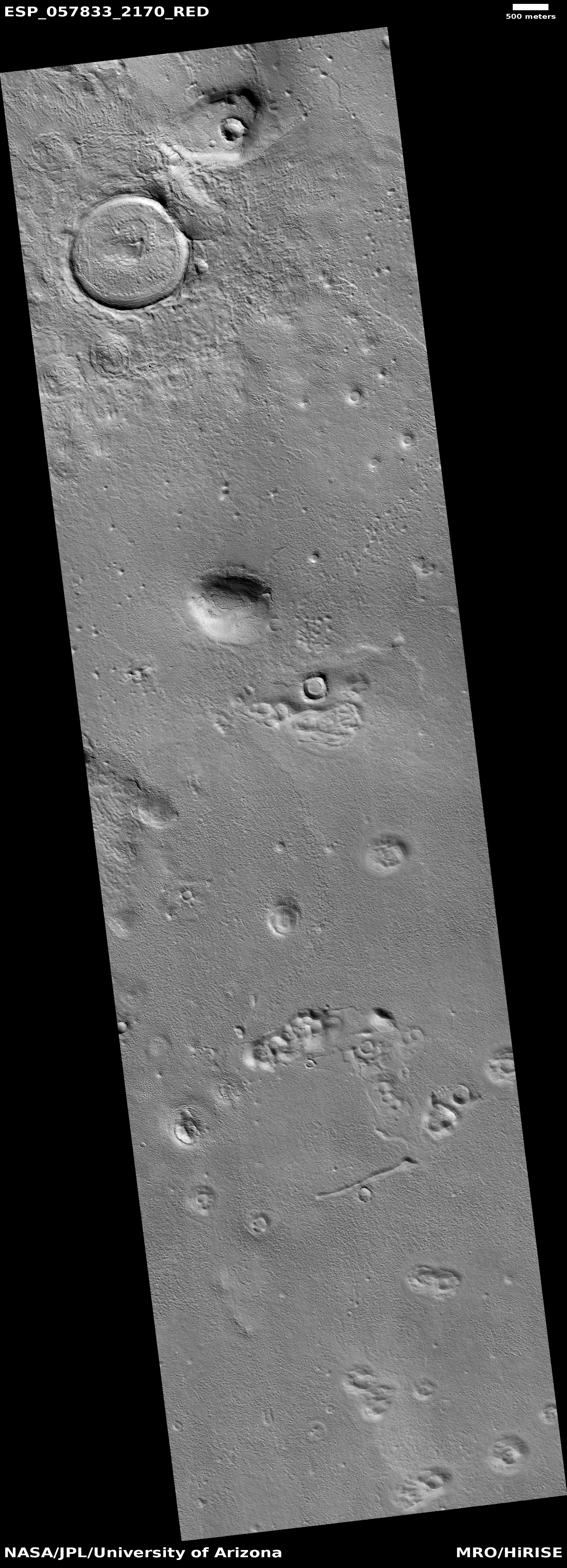
Click for full image.
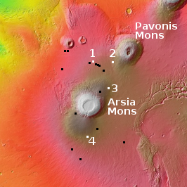
Click for full image.
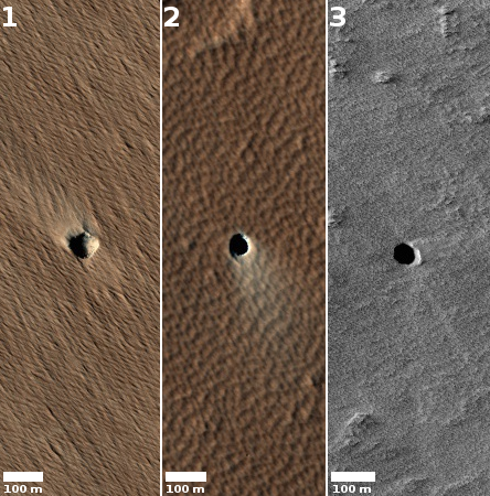
Click for full image.
For the northern hemisphere of Mars it is presently spring. The season began sometime in April 2019 and will last until about October, twice as long as on Earth because of the Martian year is twice as long.
During the fall and winter the permanent water-icecap, which forms the bulk of the Martian icecap, gets covered by a mantle of dry ice, settling there as a layer of carbon dioxide snow about six feet thick. With the arrival of spring that dry icecap slowly begins sublimate away entirely.
Using the high resolution camera on Mars Reconnaissance Orbiter (MRO) planetary scientists are monitoring this process, taking pictures periodically.
On June 6, 2019 I had written a detailed story describing the Martian North Pole and outlining the process by which this sublimation of the dry icecap mantle takes place.
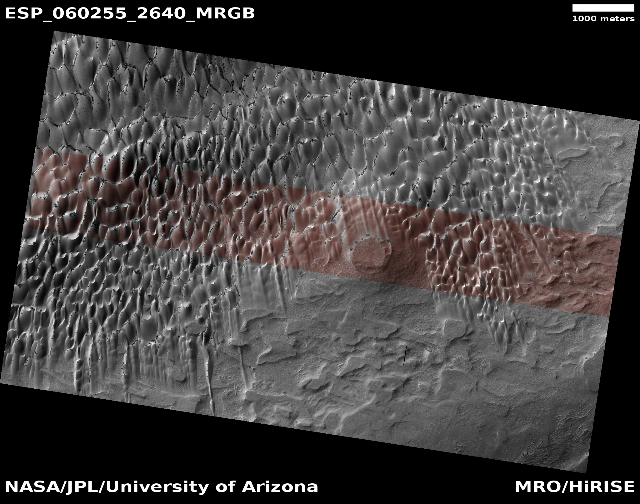
When winter ends and the sun reappears at this Arctic location, a small percentage of that sunlight, about 10%, goes through the dry ice and warms the sand that the dry ice mantles. This in turn warms the bottom of the dry ice layer, causing this to sublimate into a gas that is now trapped.
When the pressure builds sufficiently, that gas breaks free at the weakest spots in the dry ice layer, which are either at the dune crest or at its base, or sometimes on its face where cracks form. When it does so the CO2 gas carries with it material from below, which appears dark relative to the bright dry ice on the surface. As the summer season progresses and more dry ice sublimates away, the dark smudges disappear as they slowly blend in with the now-exposed original sand surface.
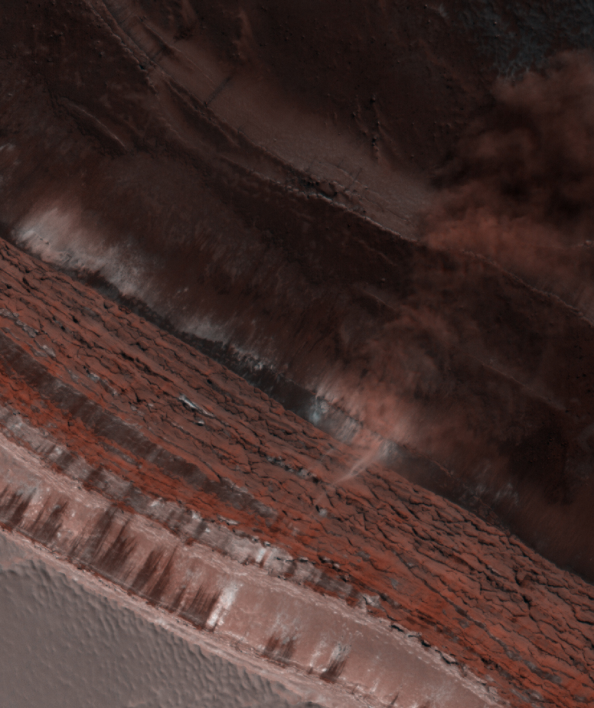
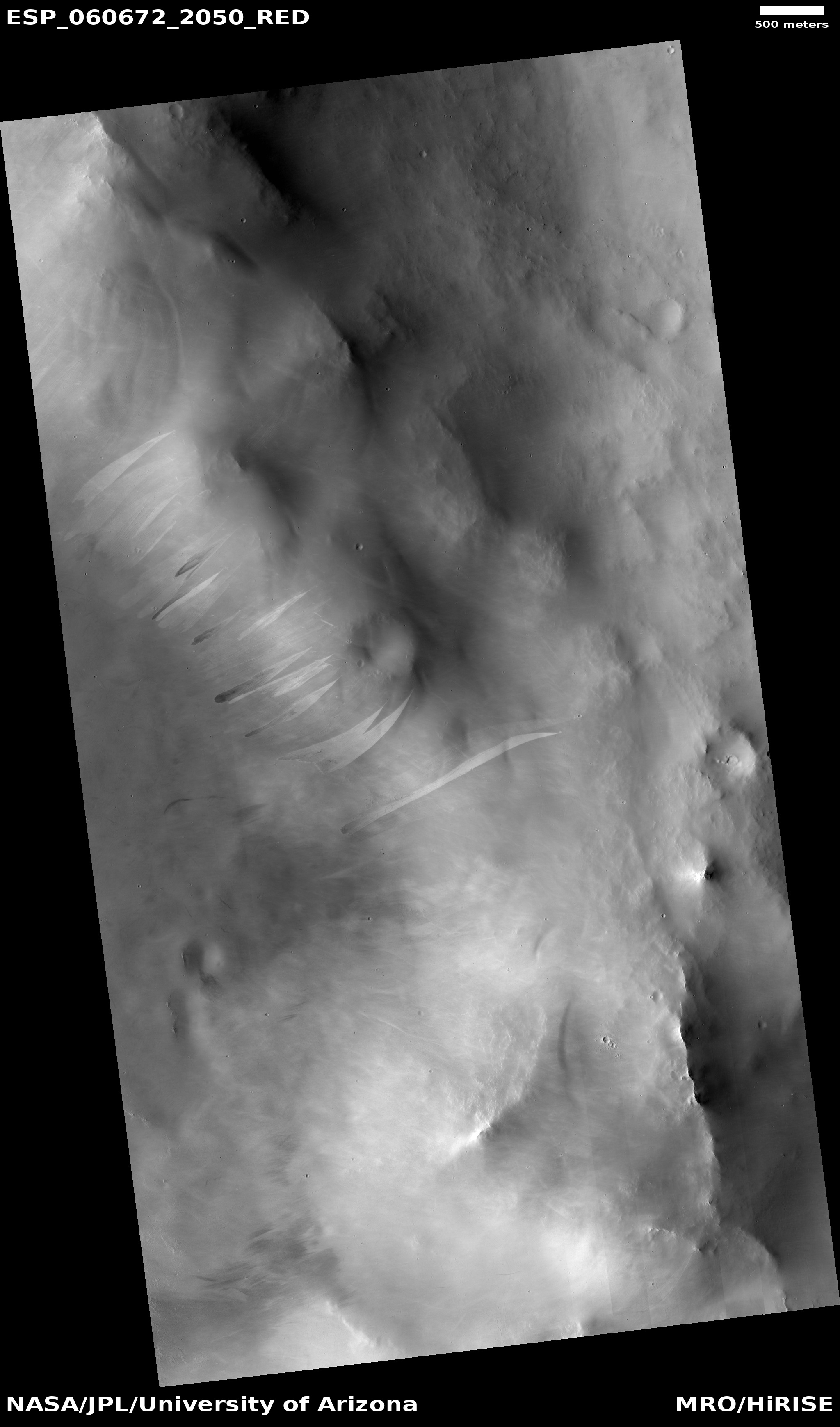
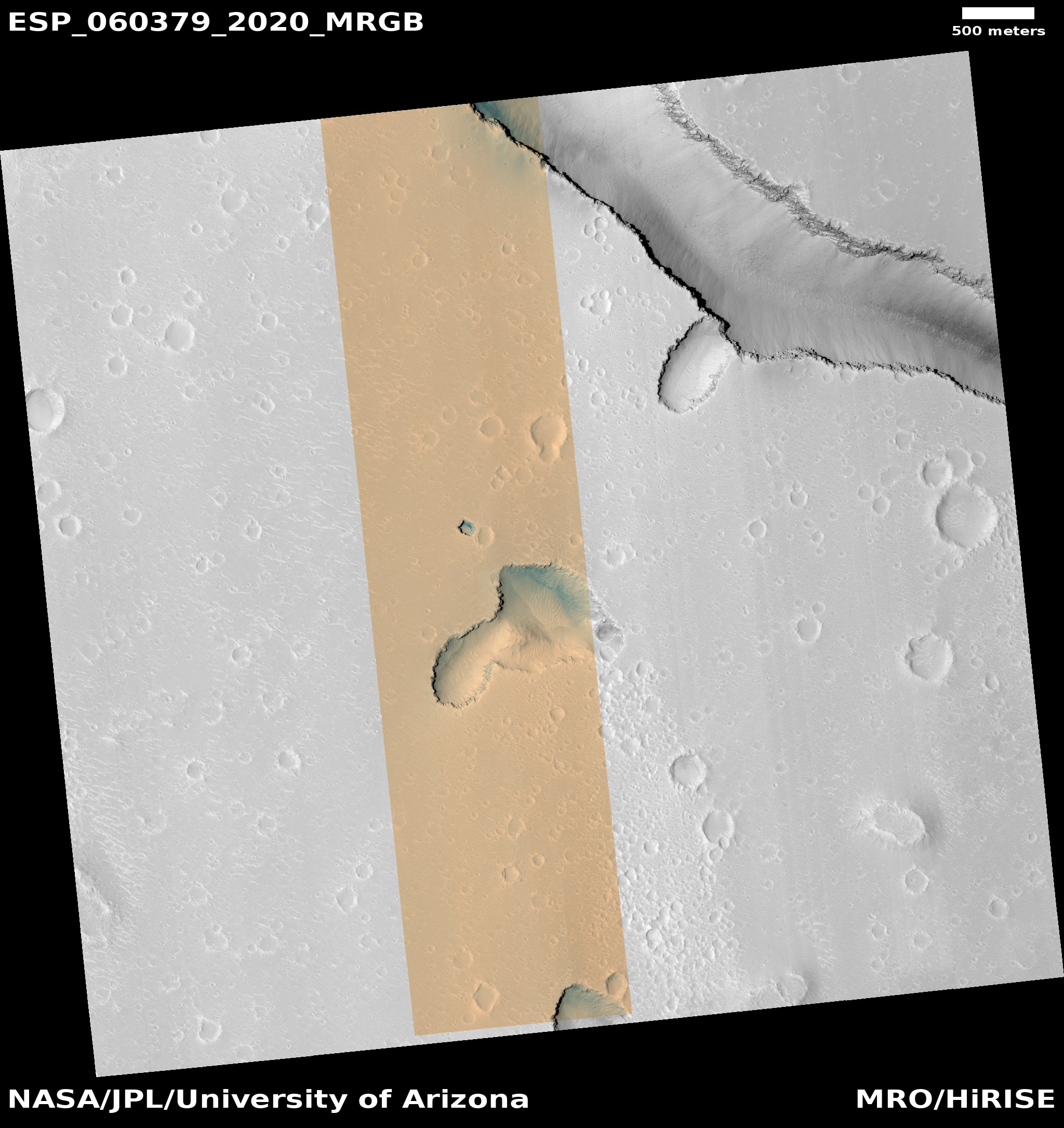
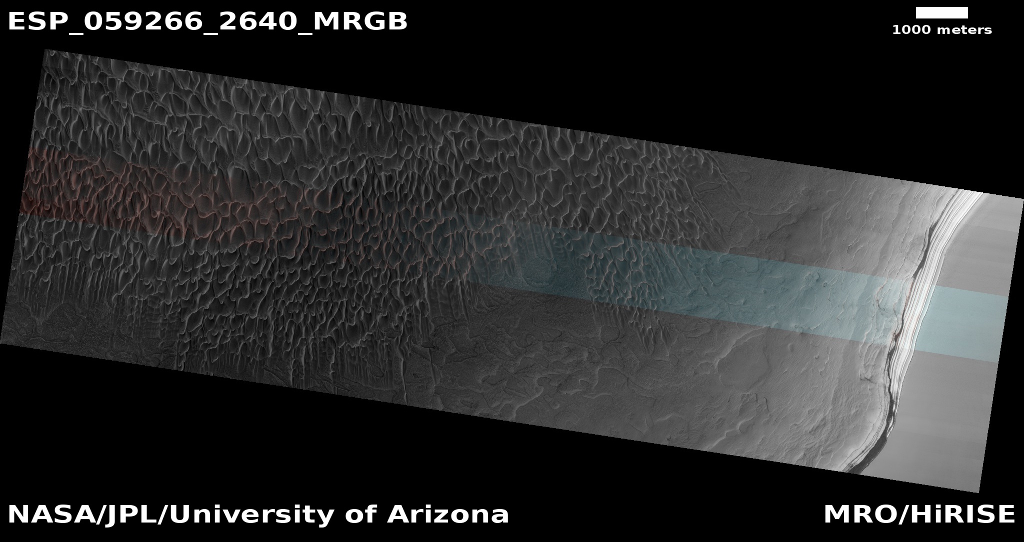
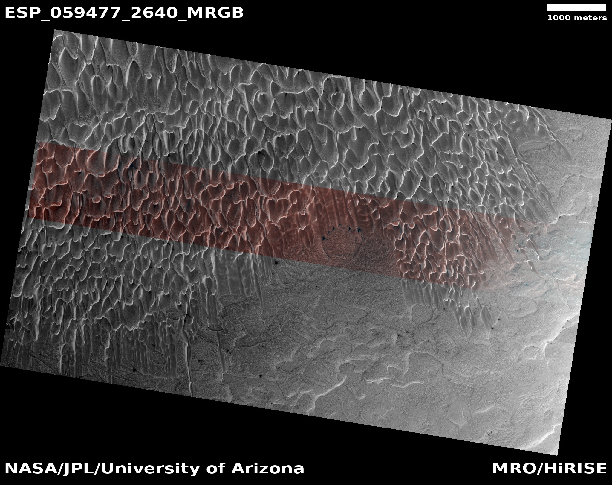
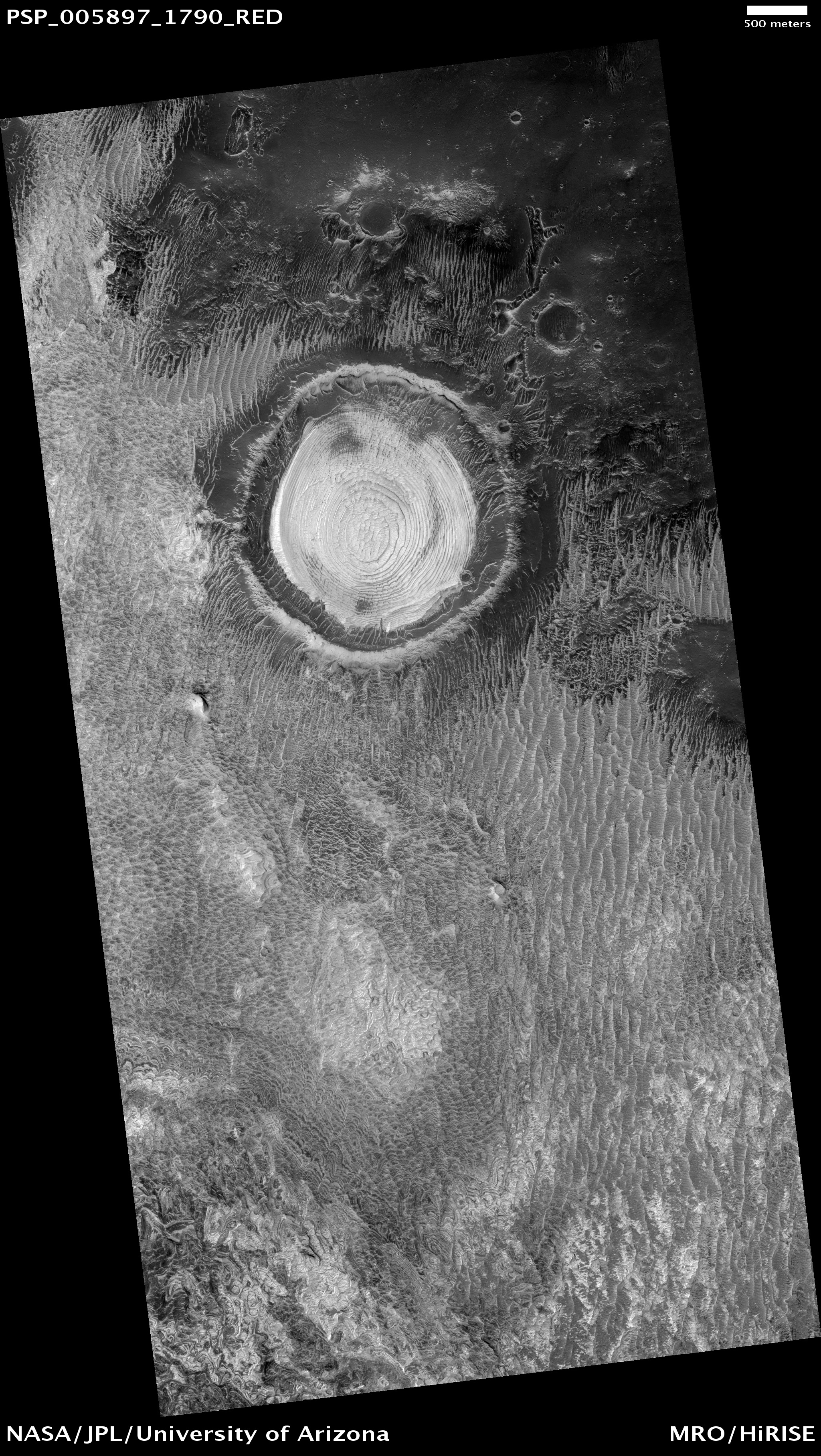
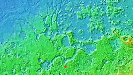
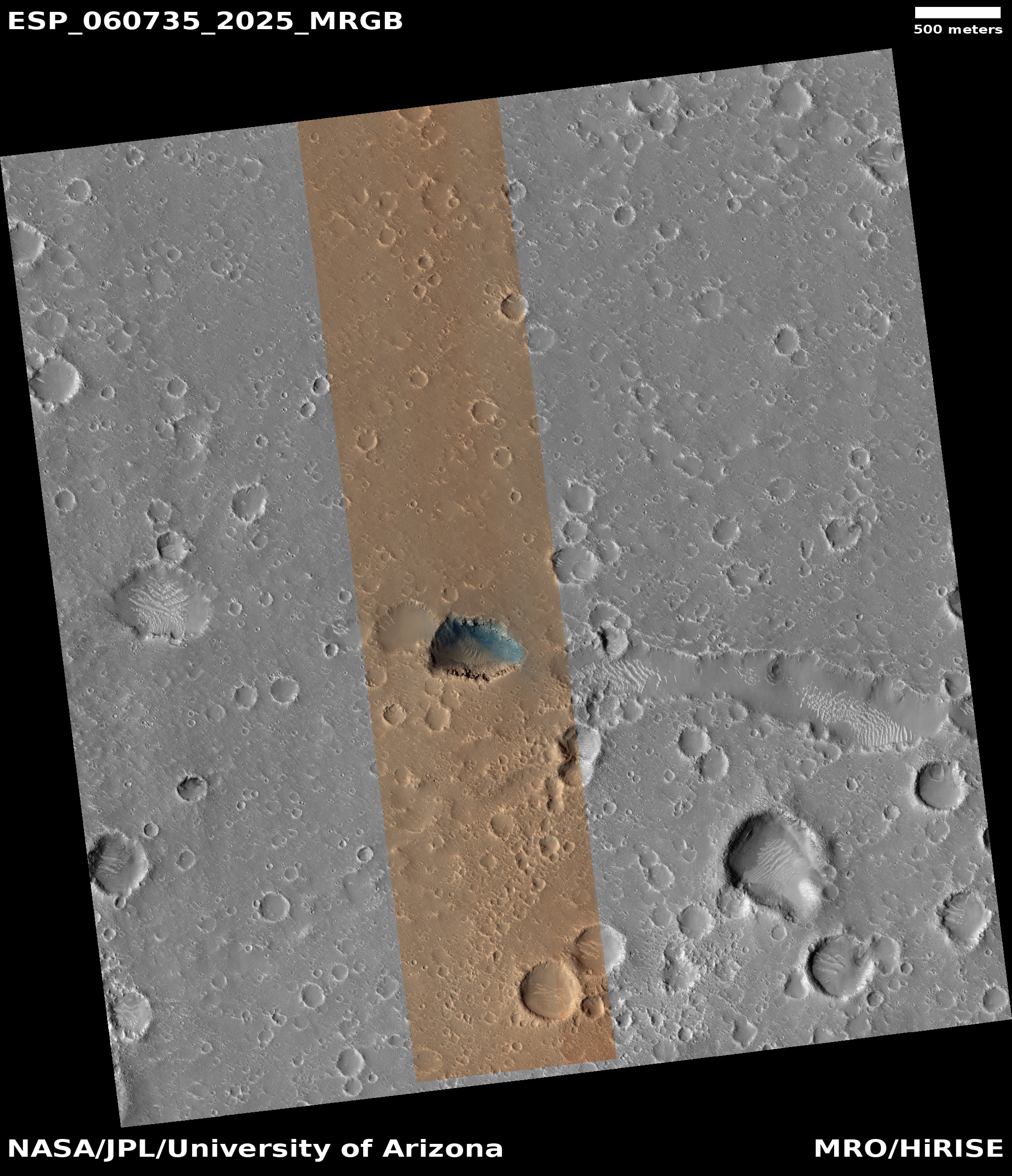
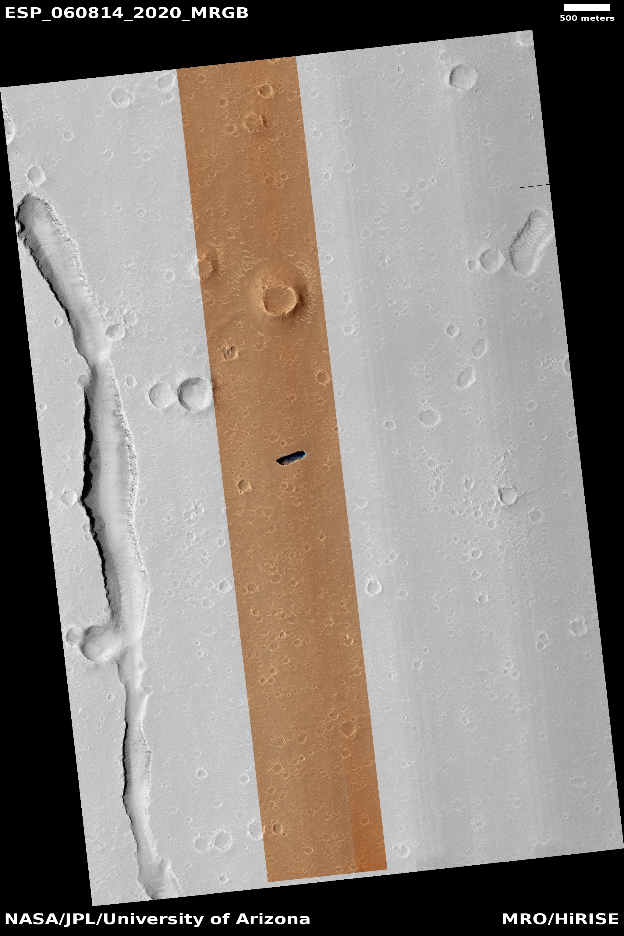
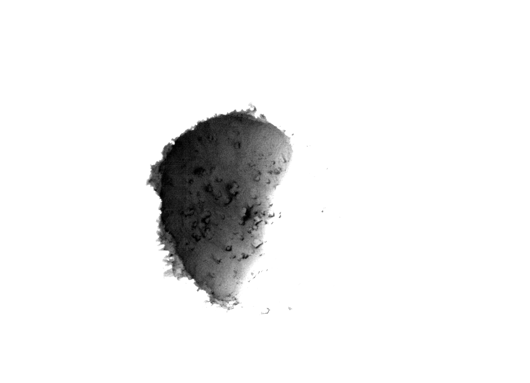
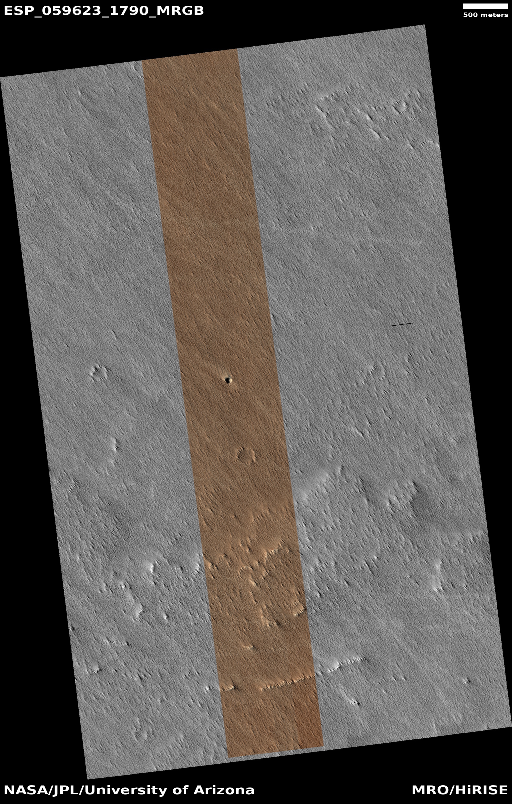
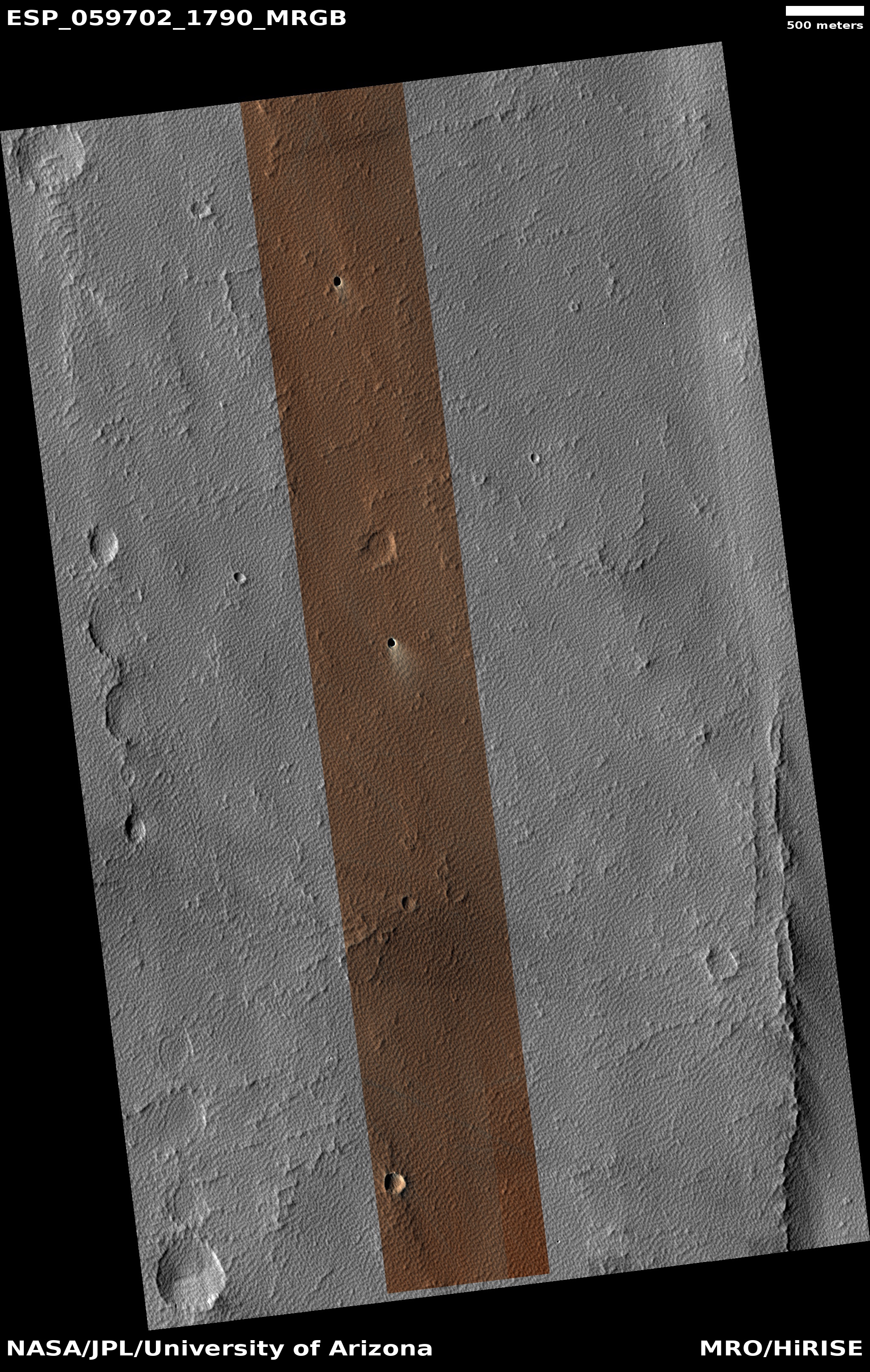
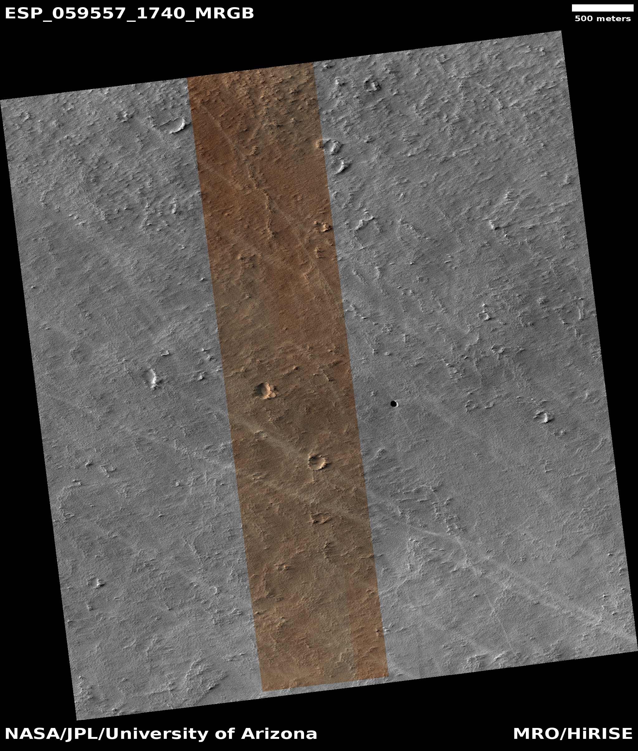
The first two pictures to the right were posted in that June 6, 2019 story, showing the initial evidence of sublimation on a set of dunes that the scientists have dubbed Buzzell. Below these, I have now added the newest image of the Buzzell dunes, taken on June 4, 2019 and just released in the August MRO image dump.
When this third image was taken, spring was only about two months old. Yet, this sublimation process is clearly accelerating. You can see many more dark patches at the crests and bases of many dunes, especially in the upper left of the image. According to Dr. Candice Hansen of the Planetary Science Institute in Tucson, Arizona, who is requesting these monitoring images, by sometime in October “you’ll see how the entire spring progresses from dunes completely covered with dry ice to the summer when they are just bare sand. Then you could comment on the whole spring series.”
I fully intend to do this. No harm however in providing an interim report or two. Stay tuned to Behind the Black for future on-going and up-to-date reports on the shrinking north pole dry icecap of Mars!


